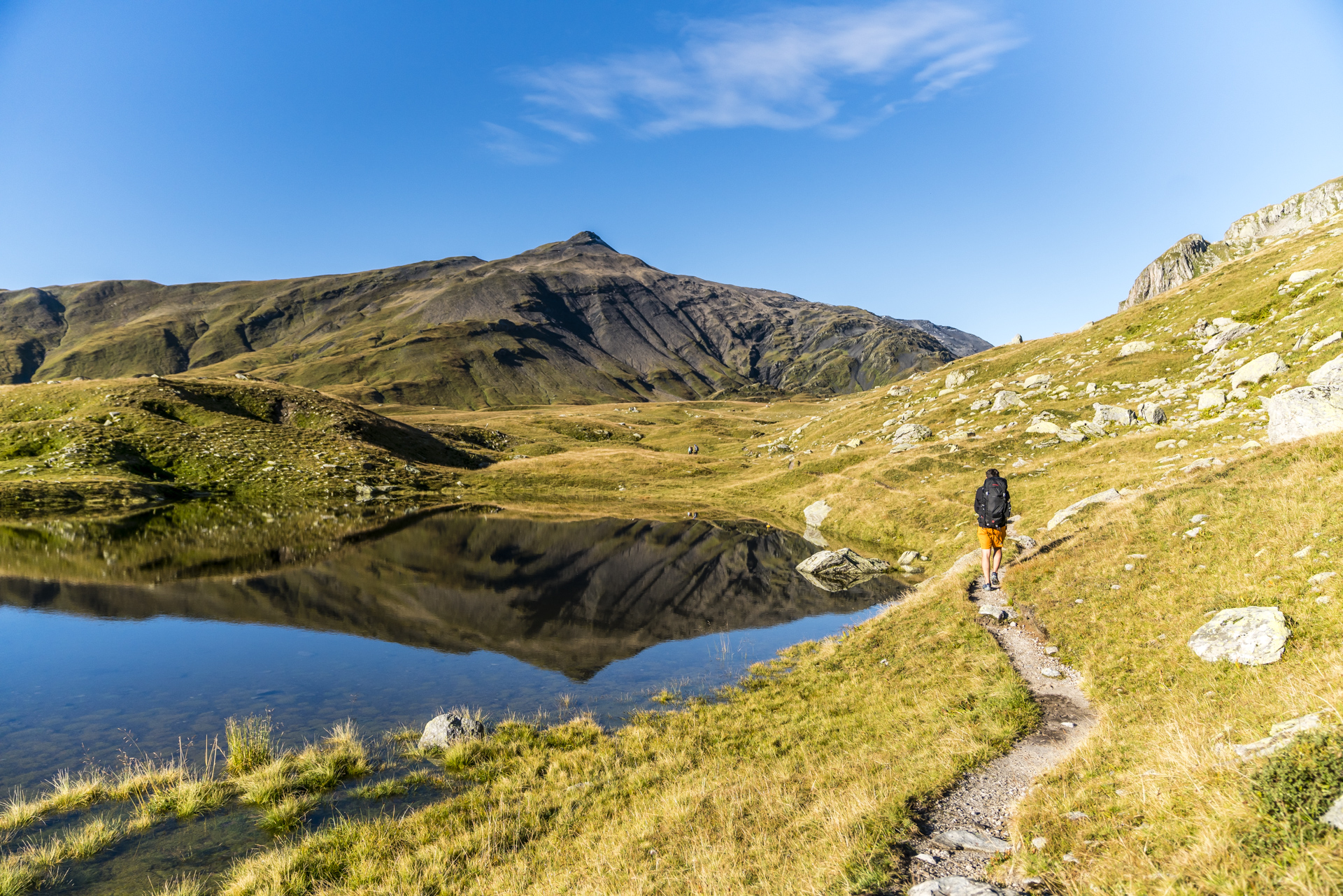
Simply amazing! in 2 days through the Greina plateau
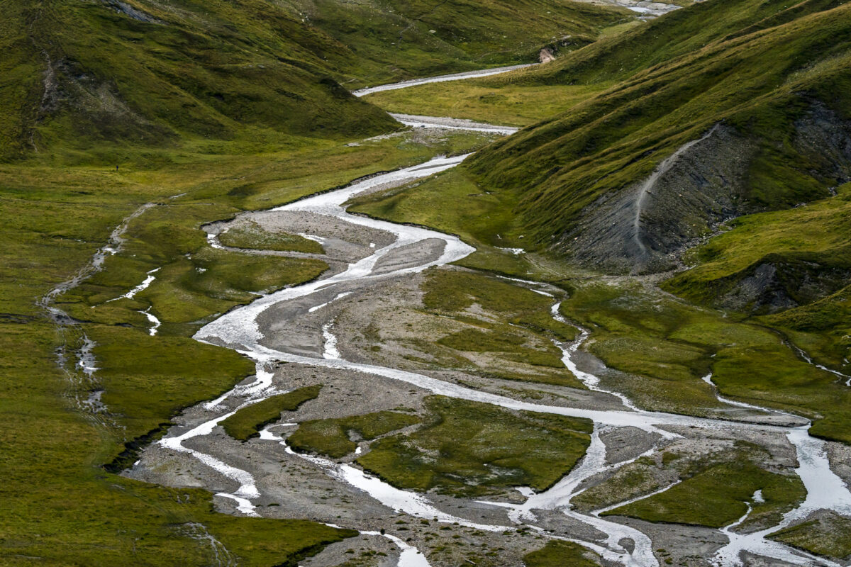
The Greina plateau – I have been asked umpteen times in recent years whether I have ever taken a hut tour through one of the most beautiful and largest plateaus in Switzerland. Sometimes my answer was “no”. The multi-day hikes in the protected high mountain landscape between the Val Lumnezia and the Blenio Valley are popular and accordingly the four SAC huts located around the plateau are also sought-after overnight destinations. Thanks to spontaneous holiday planning, I had the opportunity to take a closer look at the two-day classic from Vrin through the Greina plateau to Campo Blenio in the middle of the week at the beginning of September. And one thing can already be revealed at this point: the view from the Diesrut Pass to the wild meandering course of the river Rein da Sumvitg through the Greina definitely gives you goosebumps.
From Vrin to Pass Diesrut
Although the Greina plateau is hidden far back in the Val Lumnezia, it is surprisingly accessible. From Illanz station there is an hourly post bus connection to Vrin, where the easiest access to the Greina starts from Graubünden. If you are flexible with the arrival time, you can coordinate the journey with the Bus alpin connection to Puzzatsch. That’s exactly what we did and after a winding, one-hour post bus ride (including a change to the alpine bus in Vrin) reached our starting point for the two-day hike through the Greina plateau shortly after noon.
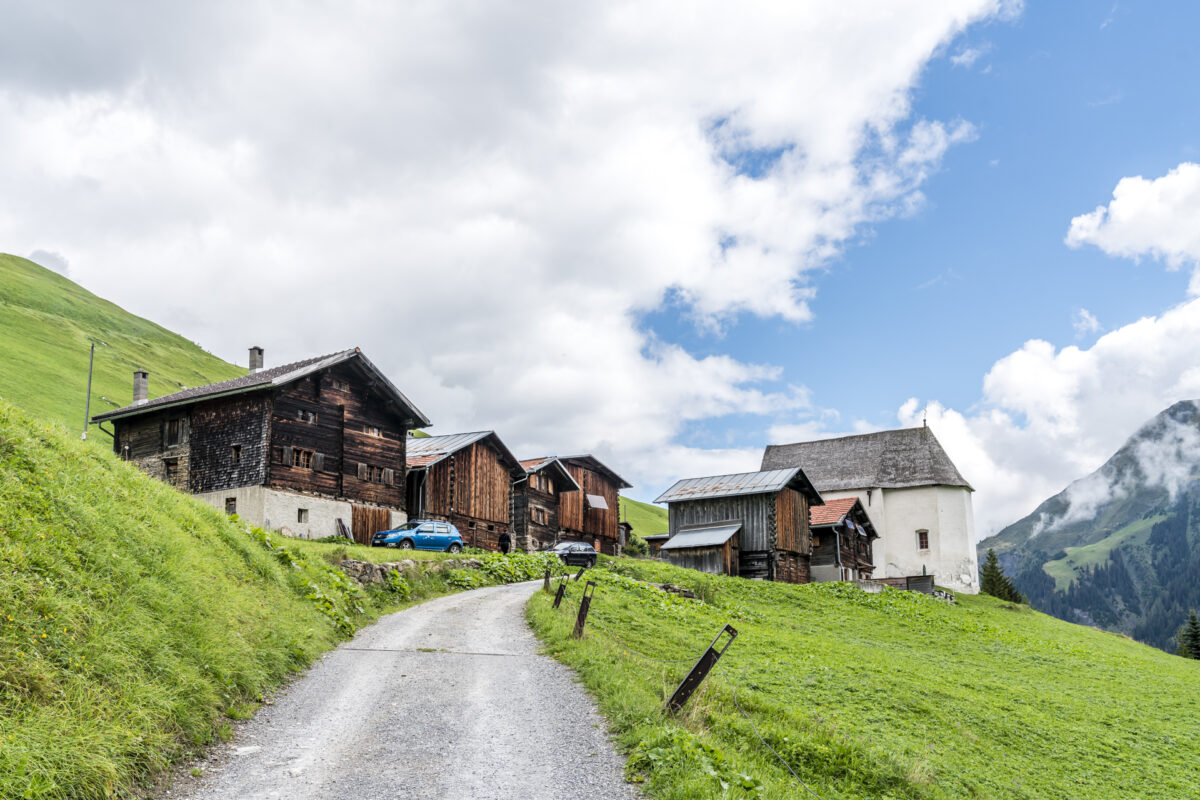
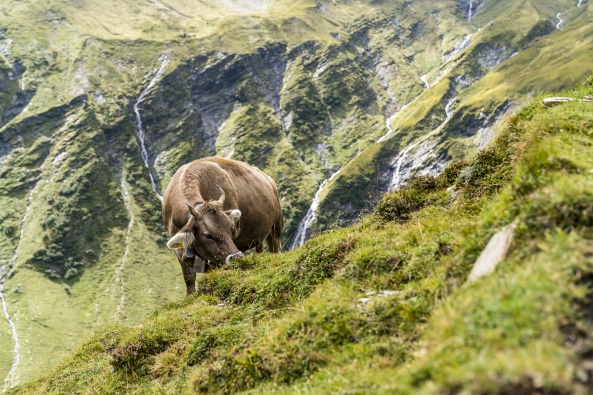
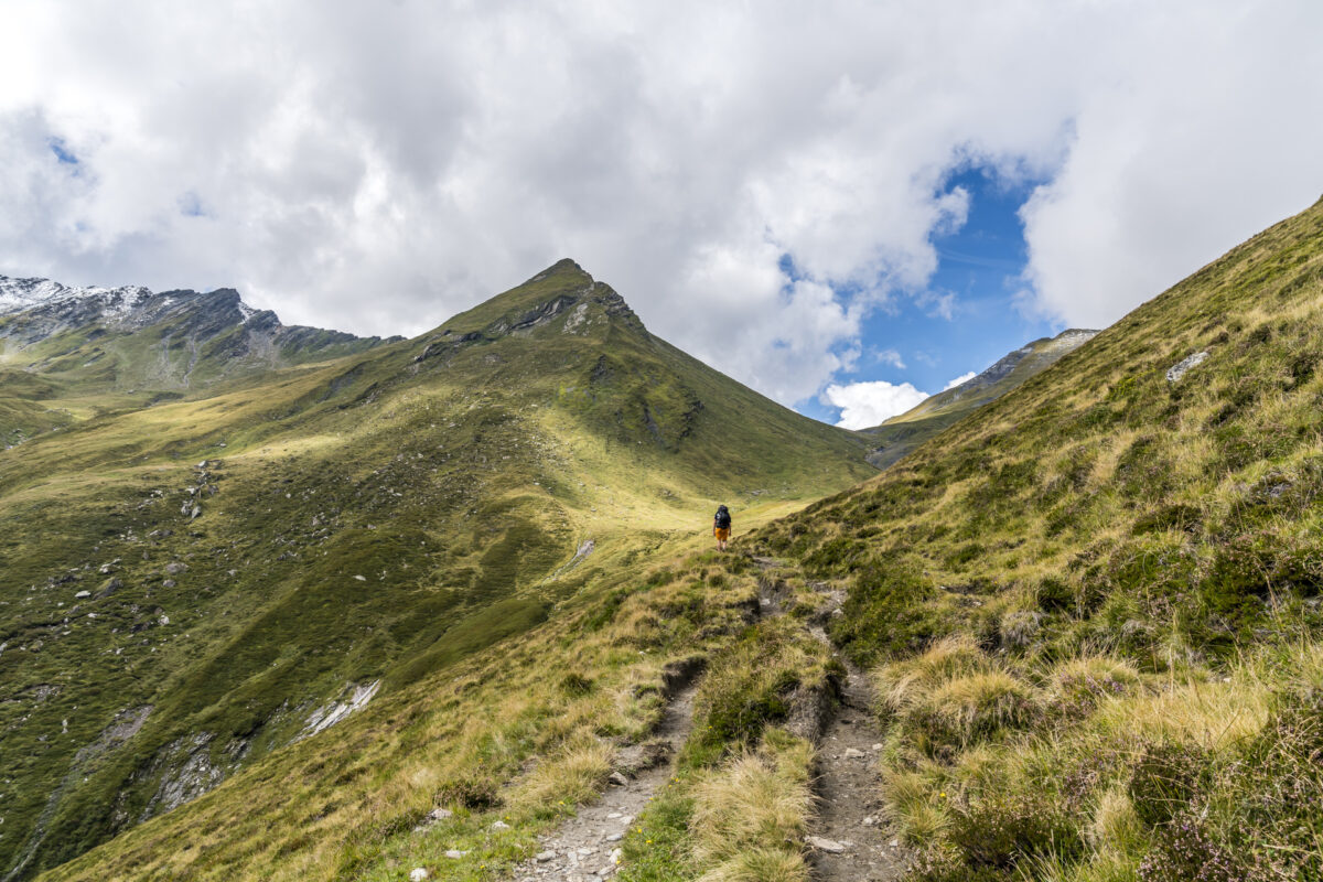
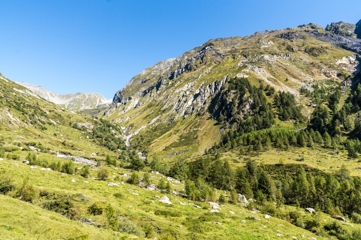
A look back at the idyllic hamlet before we tackle the path over Alp Diesrut to the Diesrut pass. Step by step we follow the narrow path uphill, pass abandoned alpine huts and meet peacefully grazing cows further up. The path is pleasant to walk and offers great panoramic views both out of the valley towards Ilanz and towards the Diesrut Pass.
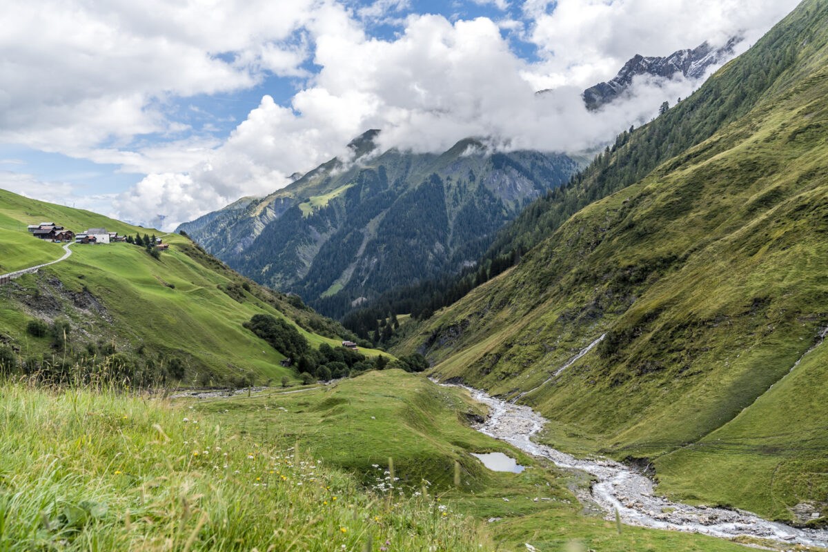
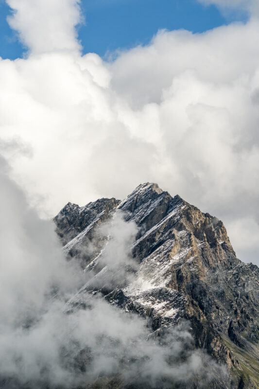
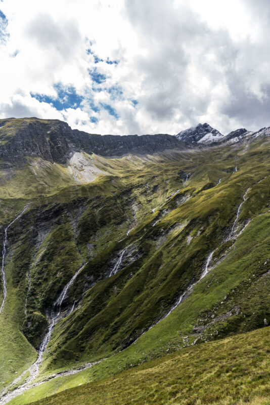
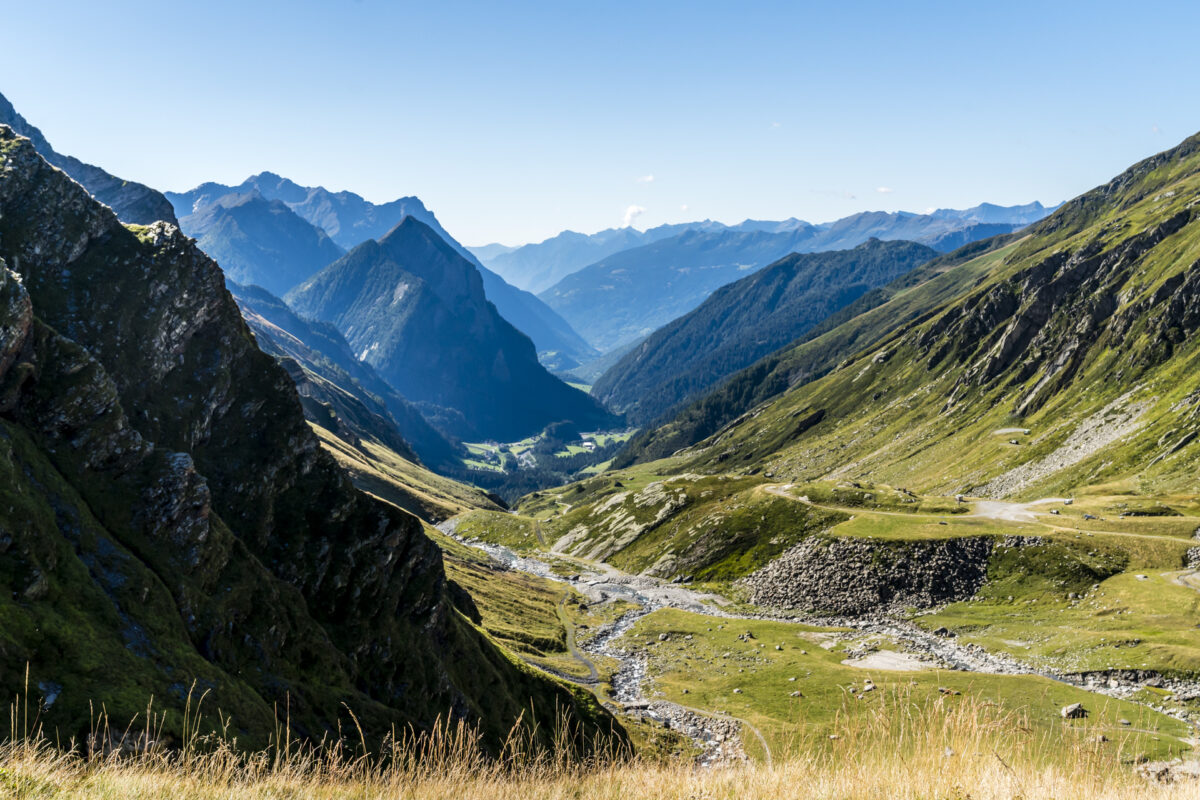
Panoramic view of the Greina plateau
A few days earlier, a change in the weather had caused snow up to around 2,200 metres above sea level and I am amazed at how well it has held up on the slopes of Piz Stgir – our companion on the ascent. However, the hiking trail is snow-free up to its highest point at 2,428 metres above sea level (pass level). We are eagerly awaiting the view down into the Greina plateau and are almost a bit disappointed when there is nothing to see at the top of the pass.
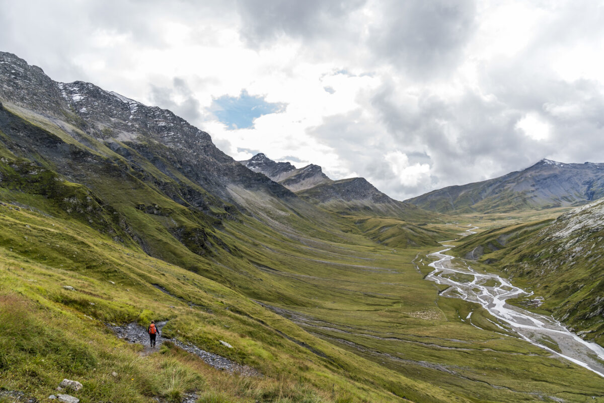
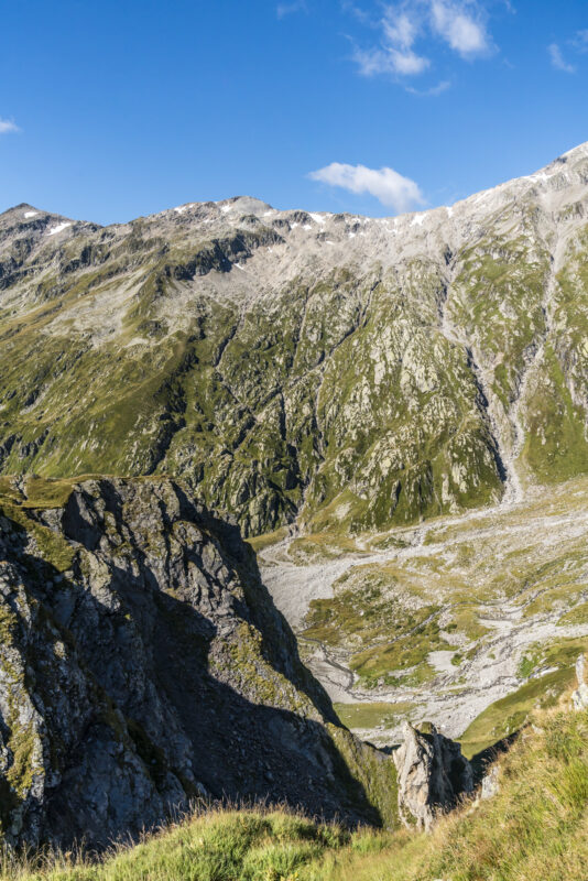
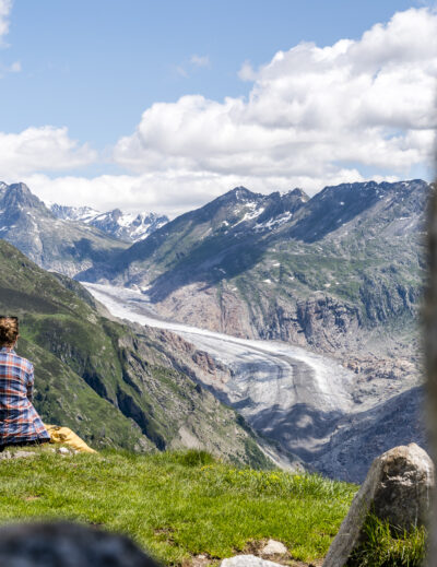
But we don’t have to wait much longer until the panoramic view of the Greina opens up to us. Fortunately, the generation of our grandparents and parents worked to ensure that a hydroelectric power plant with a reservoir was not built here, as was actually planned in the middle of the 20th century. With this backdrop, I can also understand why the Greina is such a popular hiking destination – in addition, the tour is not rocket science thanks to the good public transport access to the area. Sure, the ascent from Puzzatsch to the pass requires a drop or two of sweats, but the effort is duly rewarded with the view over the six-kilometre-long plateau.
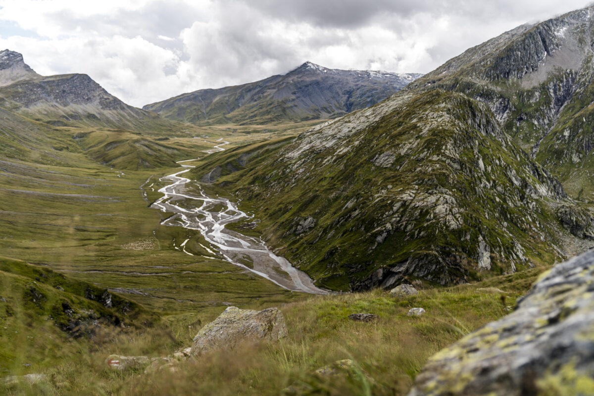
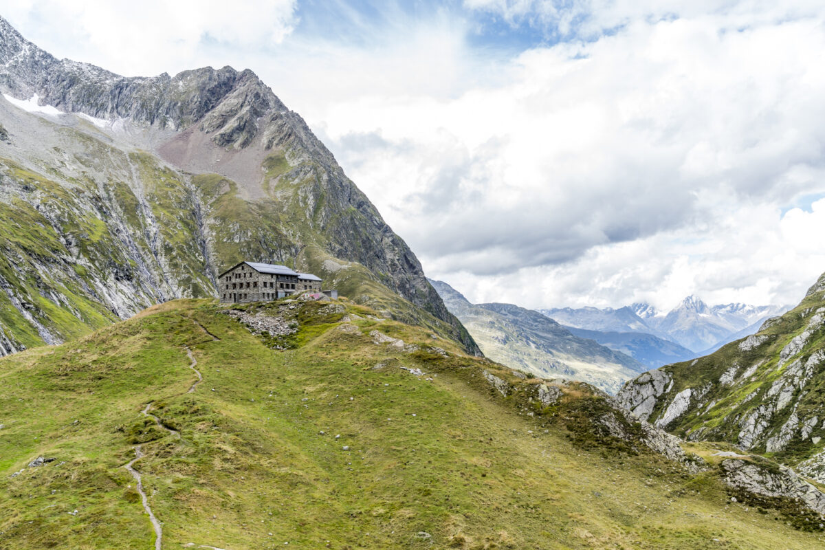
Terrihütte in sight
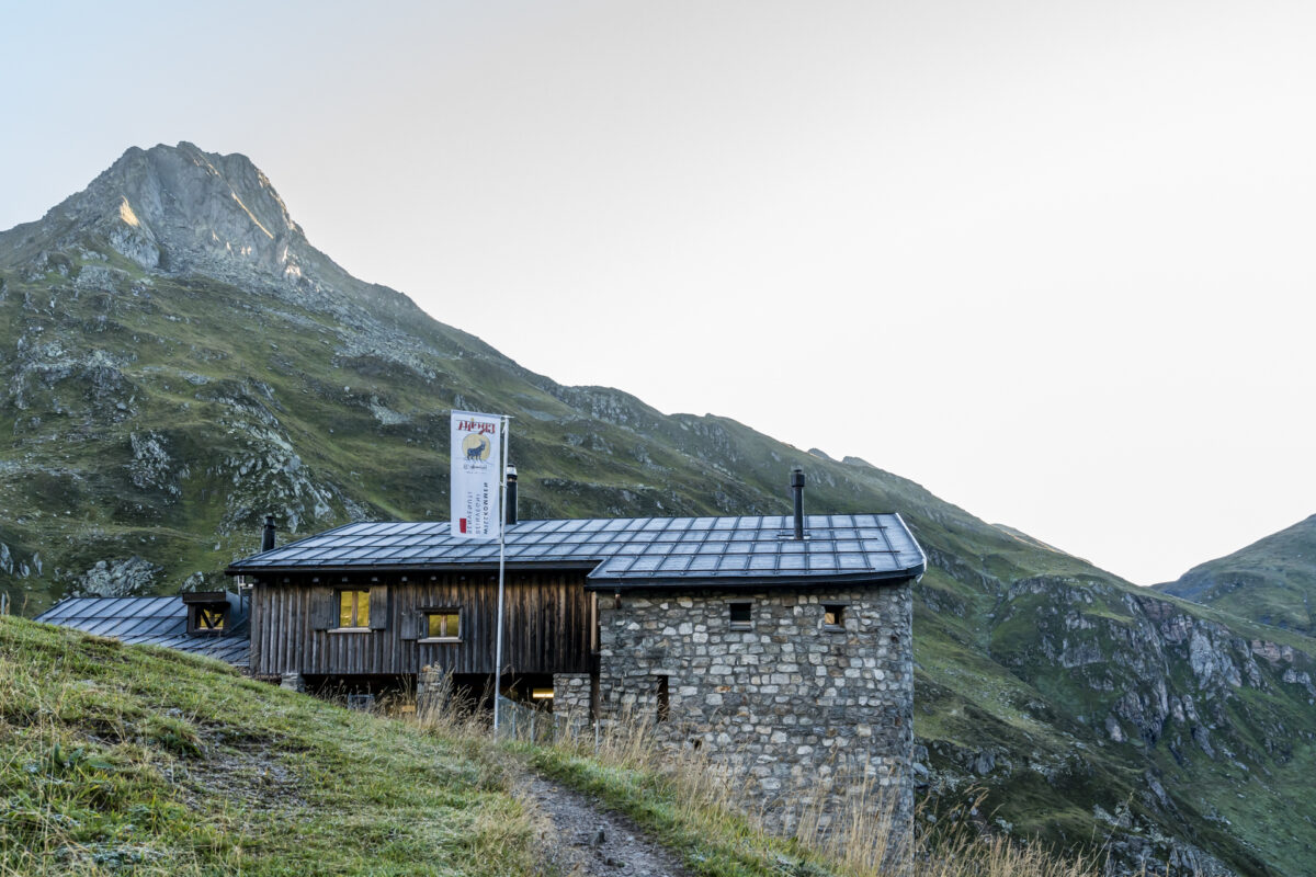
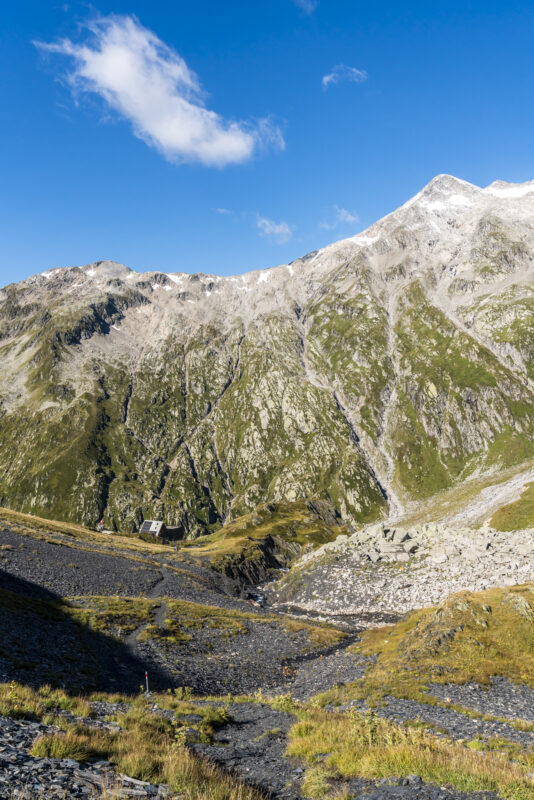
What speaks in favor of the ascent from Vrin towards Greina is that we can now descend into the plateau with a view of the Greina. If you complete the hike in the opposite direction, you turn your back to the most scenic part of the tour. On the way down, we also catch the first glimpse of the Terri hut, which towers high above the Rein da Sumvitg dug deep into the rock at the foot of Muot la Greina.
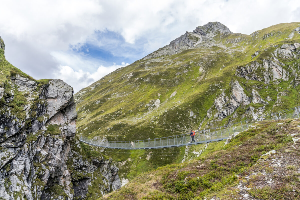
Today’s stage has another highlight in store shortly before the finish: since 2018, the 65-metre-long “Punt la Greina” suspension bridge has been leading over the Rein da Sumvitg. This simplifies the approach to the Terrihütte and makes it safer. After a 3.5-hour ascent, we reach the Terri hut just in time for the announced rain shower. We are accommodated in a comfortable 8-person loft, which is currently only half occupied. Less casual, however, is the “seating” in the dining room. Here, too, the seats are understandably assigned as soon as they arrive – but if you get a seat on the uncomfortable stool at the end of the table (and not on the benches) like us, you’re not so comfortable.
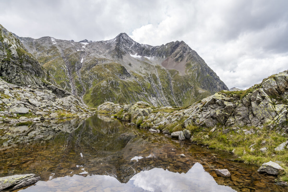
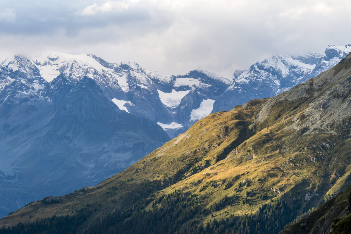
Shortly before sunset, the rain subsides and the clearing evening sky provides beautiful moments of light – but the spectacular sunset does not appear.
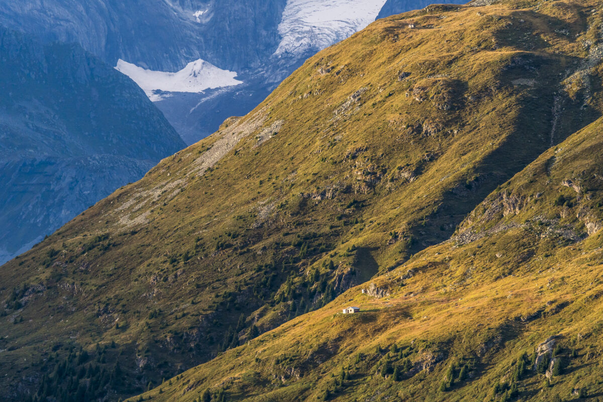
Morning mood in the Greina Plateau
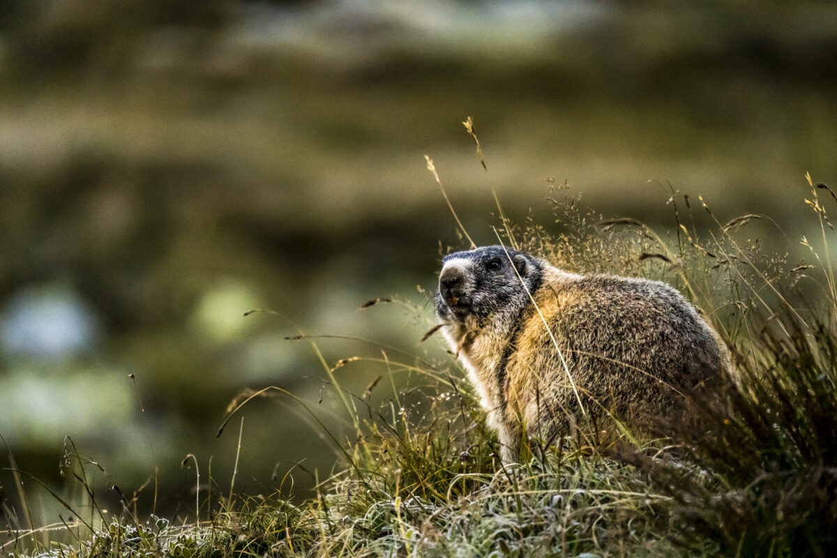
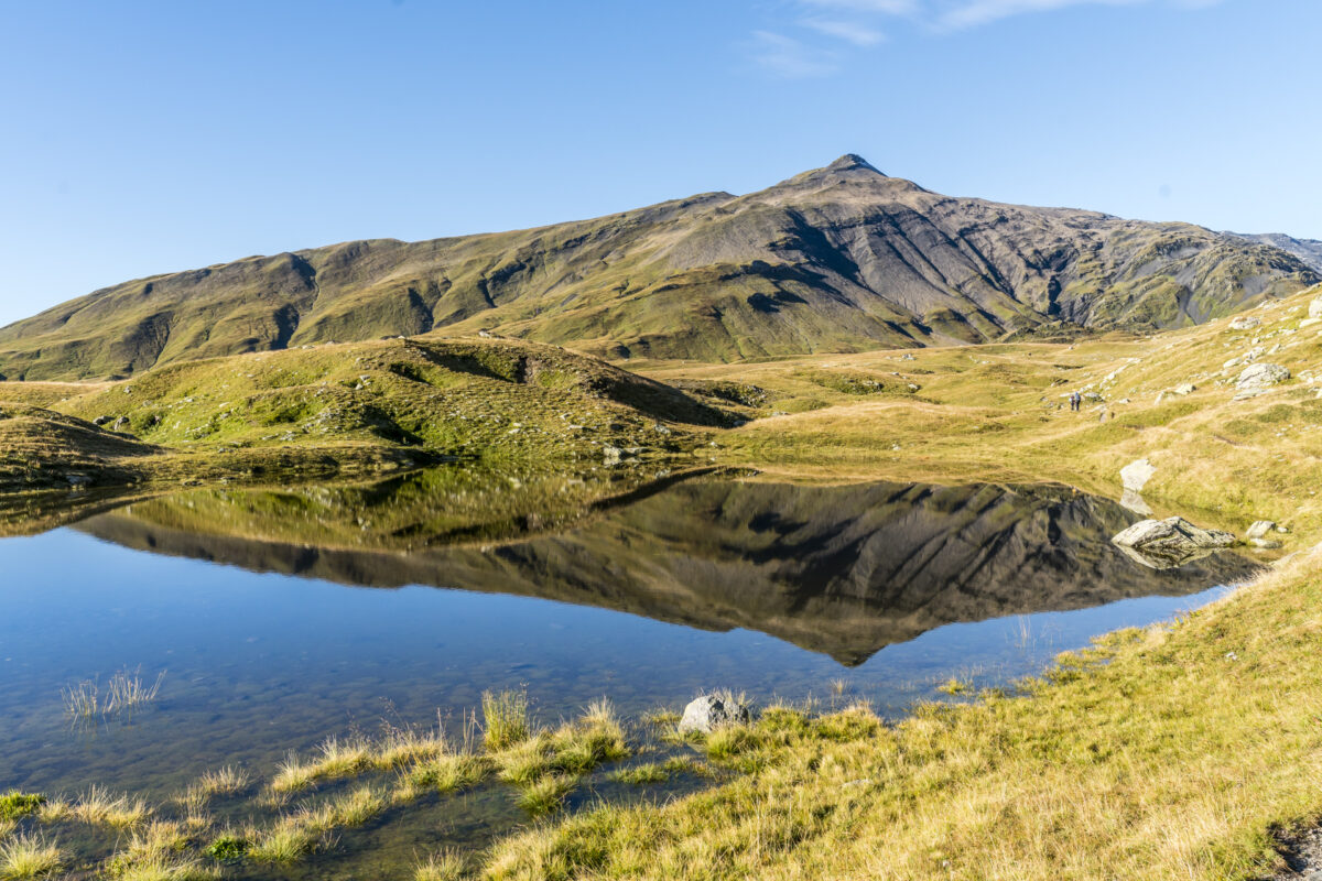
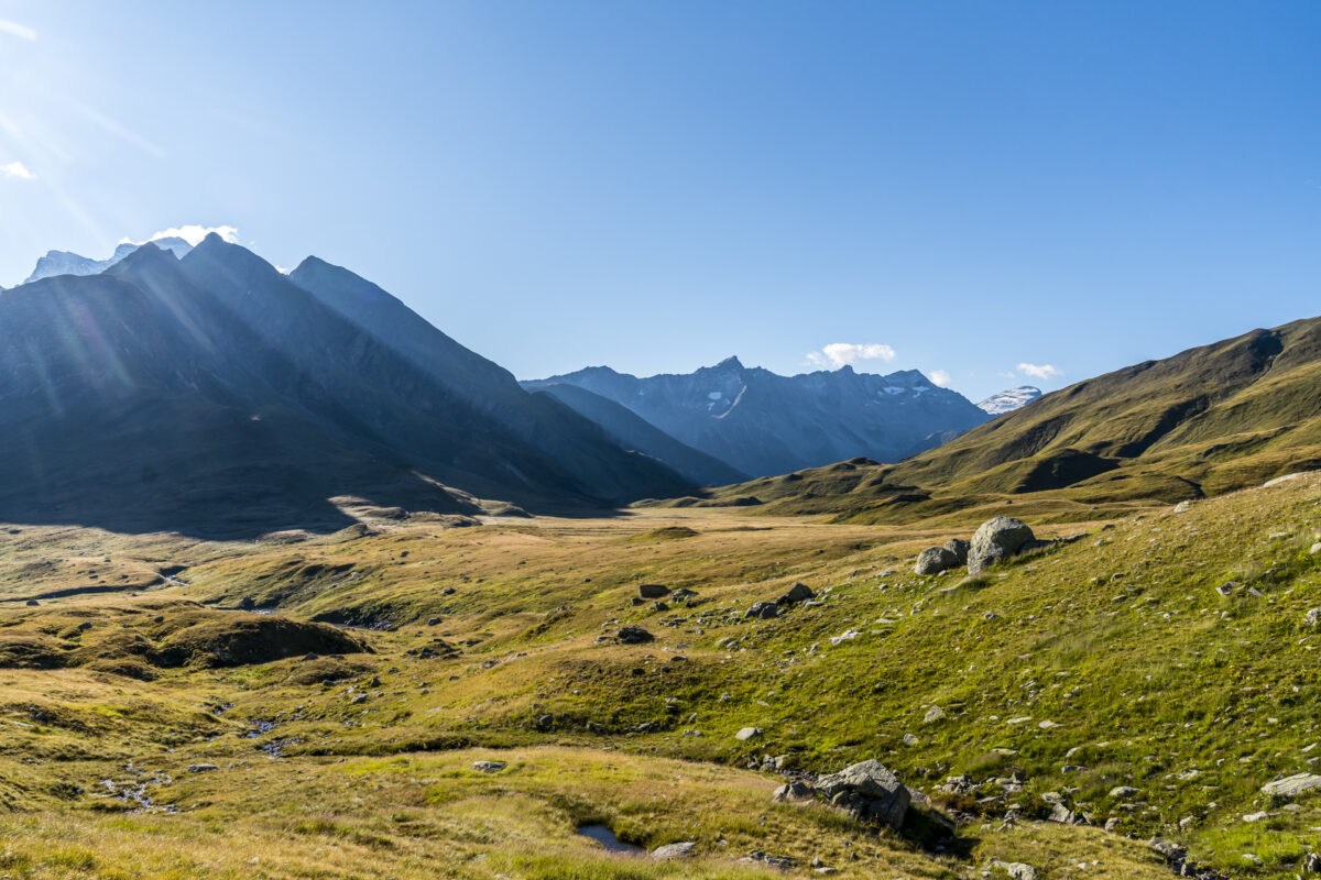
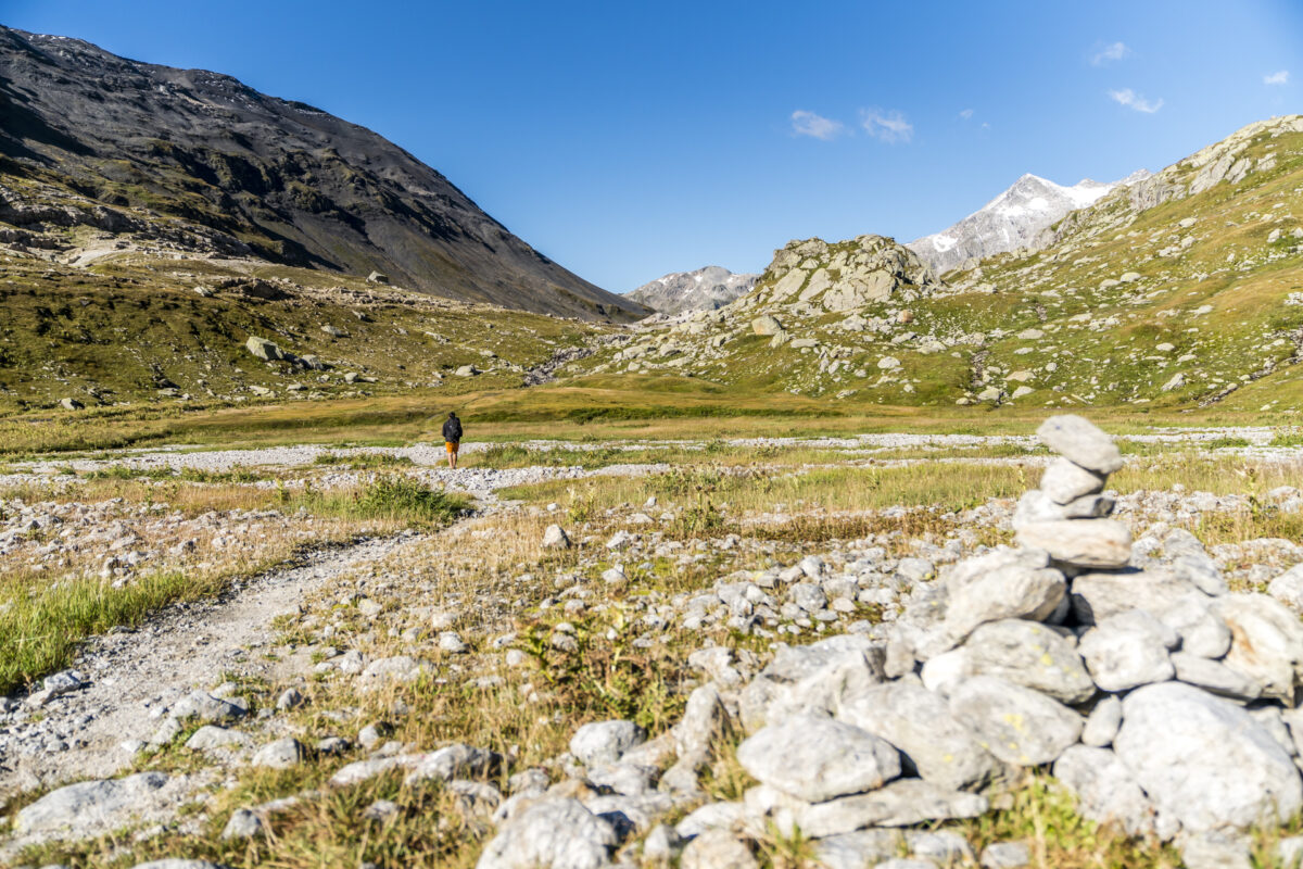
The next morning, the sky is almost cloudless and the peaks of the Surselva stand out razor-sharp against the blue background. After a quick breakfast, we start the second stage early. This leads us through the small high valley behind the Muot la Greina back towards the open Greina plain. If you’re lucky, ibexes or chamois can be spotted here in the early morning hours. But today there is no ibex to be seen. The extra handy telephoto zoom (which we didn’t have with us on the Sentiero Cristallina and – of course, how could it be otherwise – met ibexes twice) comes into play after all. The marmots up here are real posers.
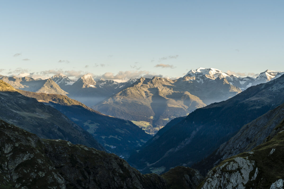
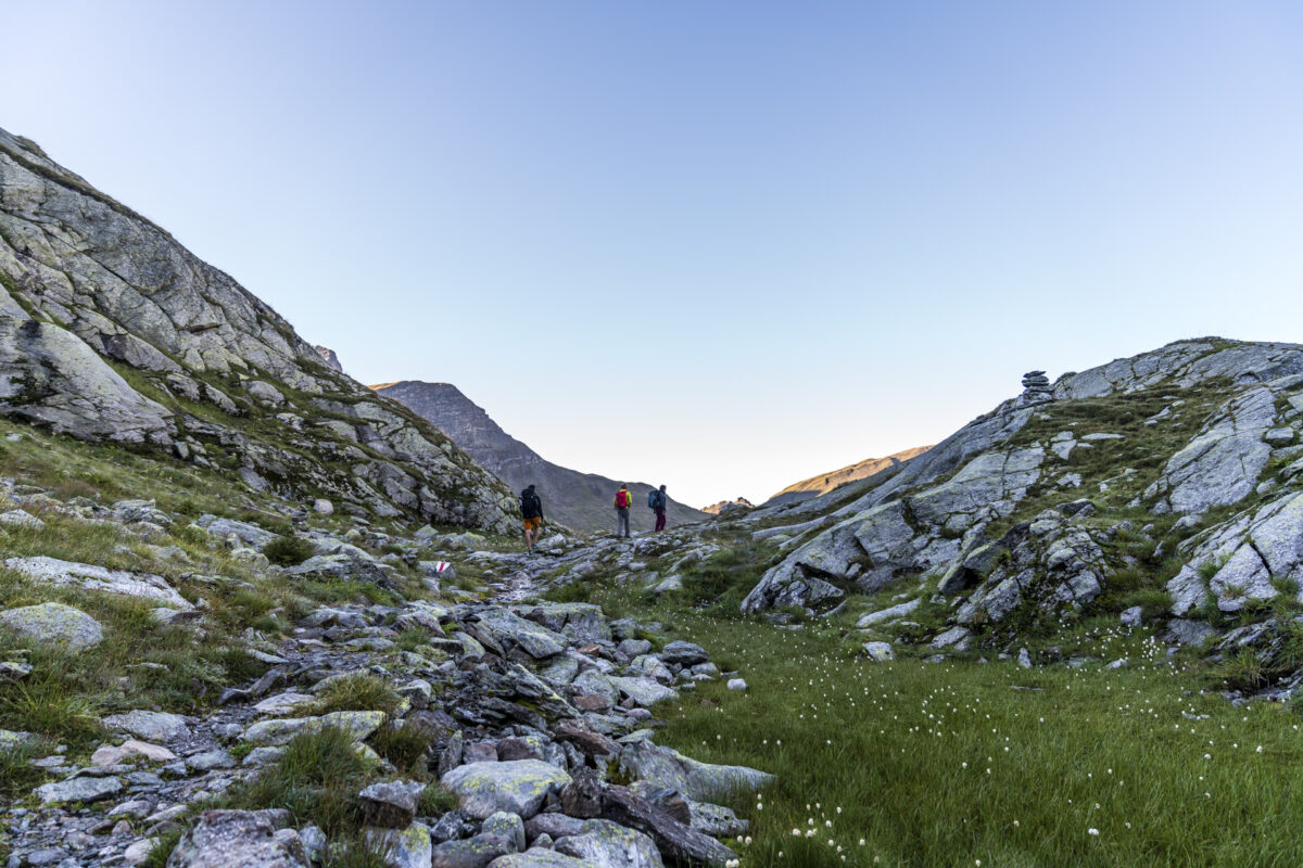
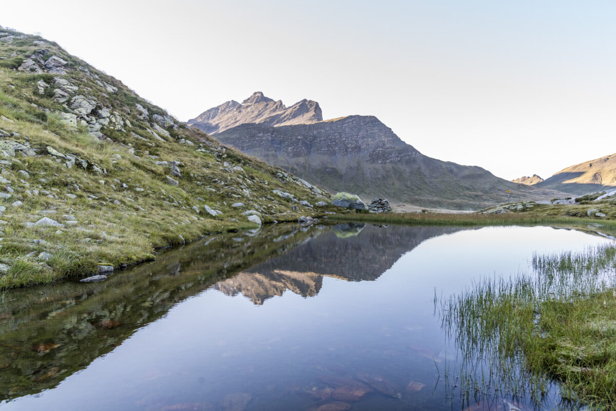
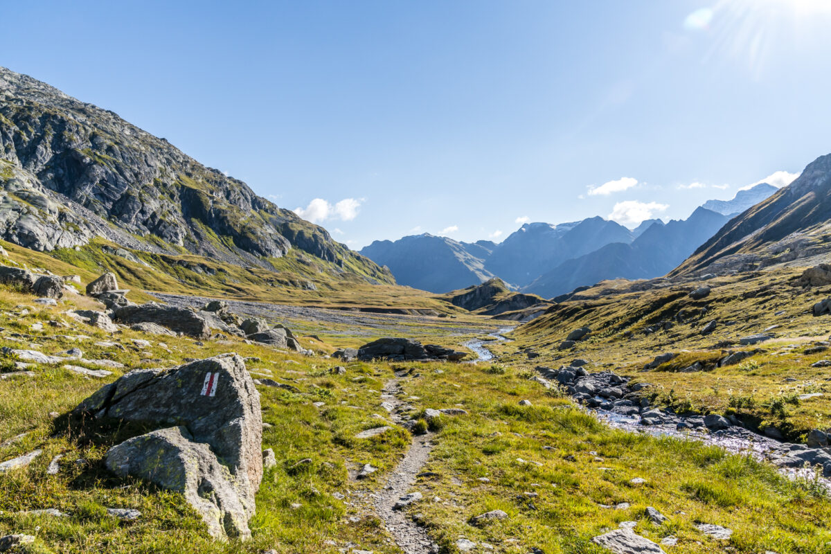
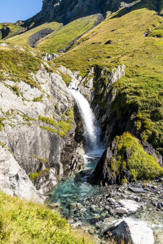
Shortly after the view towards Greina opens up again, the hiking trail has a short, steep and very stony part of the path in store. However, this is additionally secured with chains and after a few meters, including the crossing of a cheerfully bubbling stream, the spook is over again.
At the next fork in the road, it is up to us whether we turn left towards Capanna Motterascio and make a detour across the plateau or keep to the right and follow the mountain flank directly towards Passo della Greina. We opt for the latter and follow the beautiful, narrow path across alpine pastures towards the top of the pass.
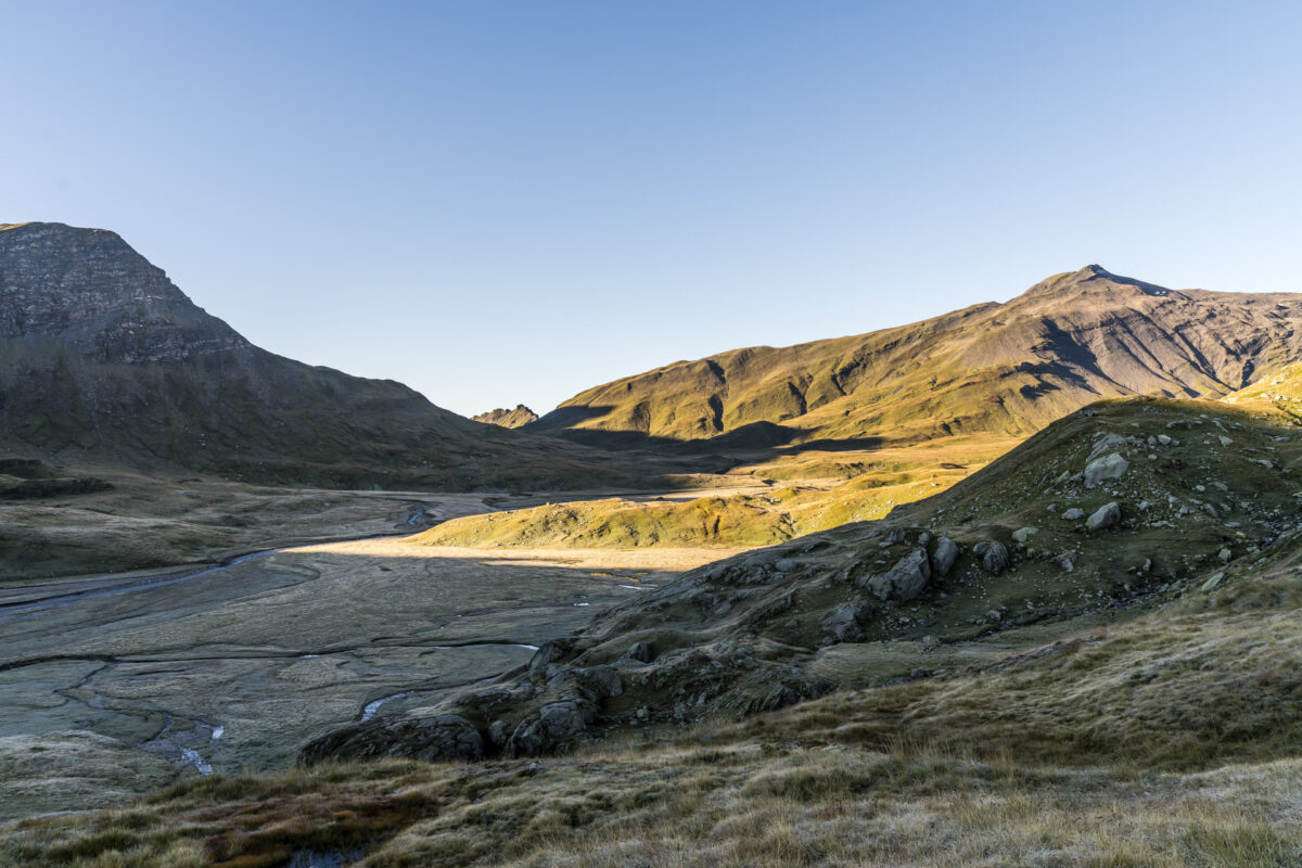
Over the Passo de la Greina into the Blenio Valley
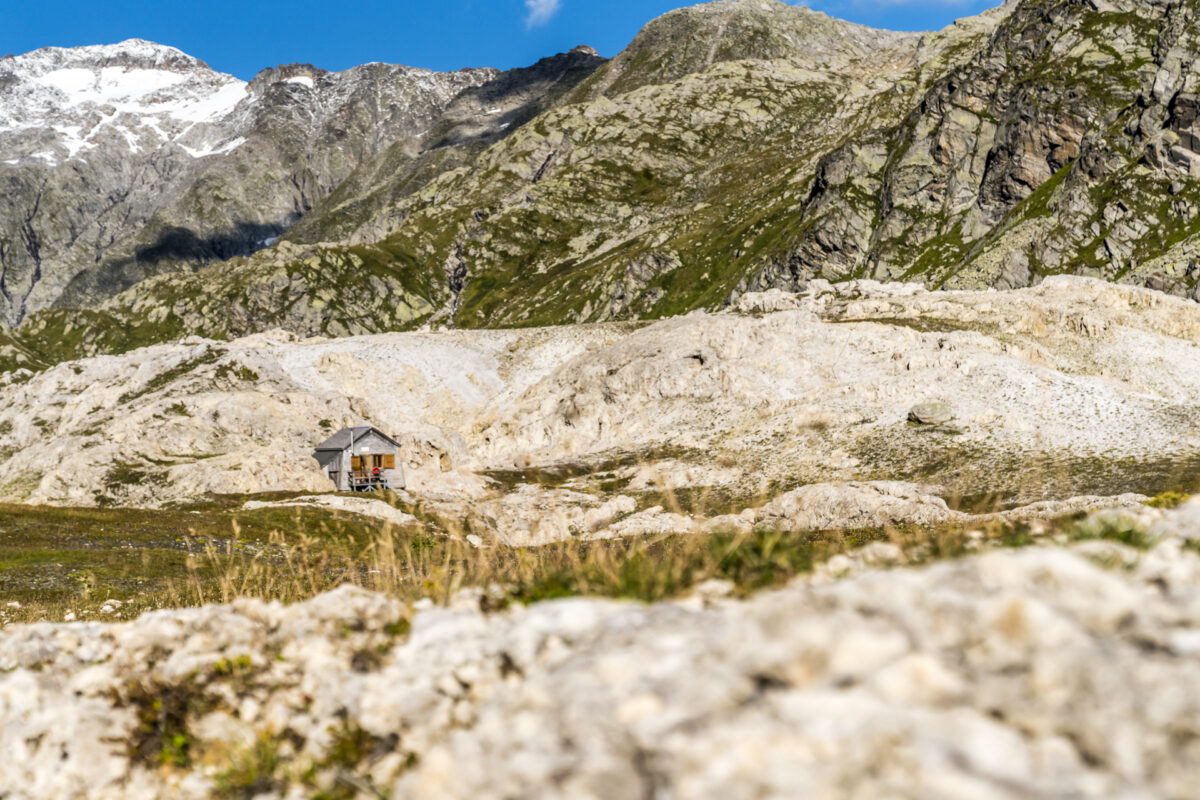
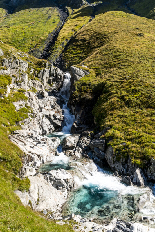
Passing a cute refuge (or shepherd’s hut) we cross the cantonal border. Graubünden behind us, Ticino in front of us – and on the descent into the Blenio Valley, this also offers a magnificent panorama as well as enviable turquoise shimmering streams. Due to the irregular bus connection in Campo Blenio (there is no bus between 1:01 p.m. and 3:37 p.m.), we forego a stop at Capanna Scaletta and descend directly into the valley.
Up to the height of Alpe di Fontana San Martino, the path is beautiful, the remaining part to Campo Blenio is unfortunately mostly on the tarred road. If you’re short on time, you can save a few valuable minutes by heading directly to the “Ghirone, Aquilesco” bus stop – it’s a little closer to the route than “Campo (Blenio), Pease”.
Actually, we would have liked to extend the two-day hike through the Greina plain to a three-day tour to the Lukmanier Pass, but the Casa Lucomagno, which I discovered during my research and fell in love with this historic summer residence, unfortunately had no more rooms available so spontaneously. And that’s a good thing – as is so often the case, this mountain tour generates at least three more ideas for future hikes.
Practical tips for your hike through the Greina Plateau
Day 1: Vrin – Terrihütte
The classic two-day hike across the Greine plain starts in Vrin, more precisely in Puzzatsch, which can be reached by bus from Vrin. The first stage includes 875 metres of uphill and 377 metres of downhill over a length of 7 kilometres. The hiking time is between 3 and 3.5 hours, depending on speed and breaks, and is not particularly demanding, both physically and technically. If you don’t take the alpine bus and start the tour directly in Vrin, you have to calculate an additional hour of hiking (approx. 3.8 kilometres of trail length with 272 metres of altitude uphill).
The alpine bus from Vrin to Puzzatsch costs 10 CHF per person and runs daily from 20 June to 4 October. Pre-registration up to 1 hour before departure is mandatory. The telephone number can be found in the SBB timetable (online).
Day 2: Terri Hut – Campo Blenio
The distance from the Terri hut to Campo Blenio is just under 16 kilometres and includes an ascent of 406 metres and a descent of 1,345 metres. The walking time for this stage is 4.5 to 5 hours. On our hike, we decided against the route of the Alpine Passes Trail and stuck to the less frequented mountain path that leads above the Rein da Sumvitg along the edge of the slope towards Capanna Scaletta (see map below). This path is also technically not tricky, except for one or two somewhat rocky places, which are selectively secured with steel cables. Depending on the season and day of the week (27 June to 30 August daily, from 5 to 27 September only Saturday and Sunday) there is also an alpine bus connection from Pian Geirett to Campo Blenio. In this case, the stage is shortened to a total of 9 kilometers, for which you should plan about three hours of walking time.
The overnight stay in the Terrihütte costs 82 CHF including half board for adults who are not members of the SAC (prices for the summer season 2020). For SAC members there is a reduction of 10 CHF on the overnight rate.


Leave a Reply