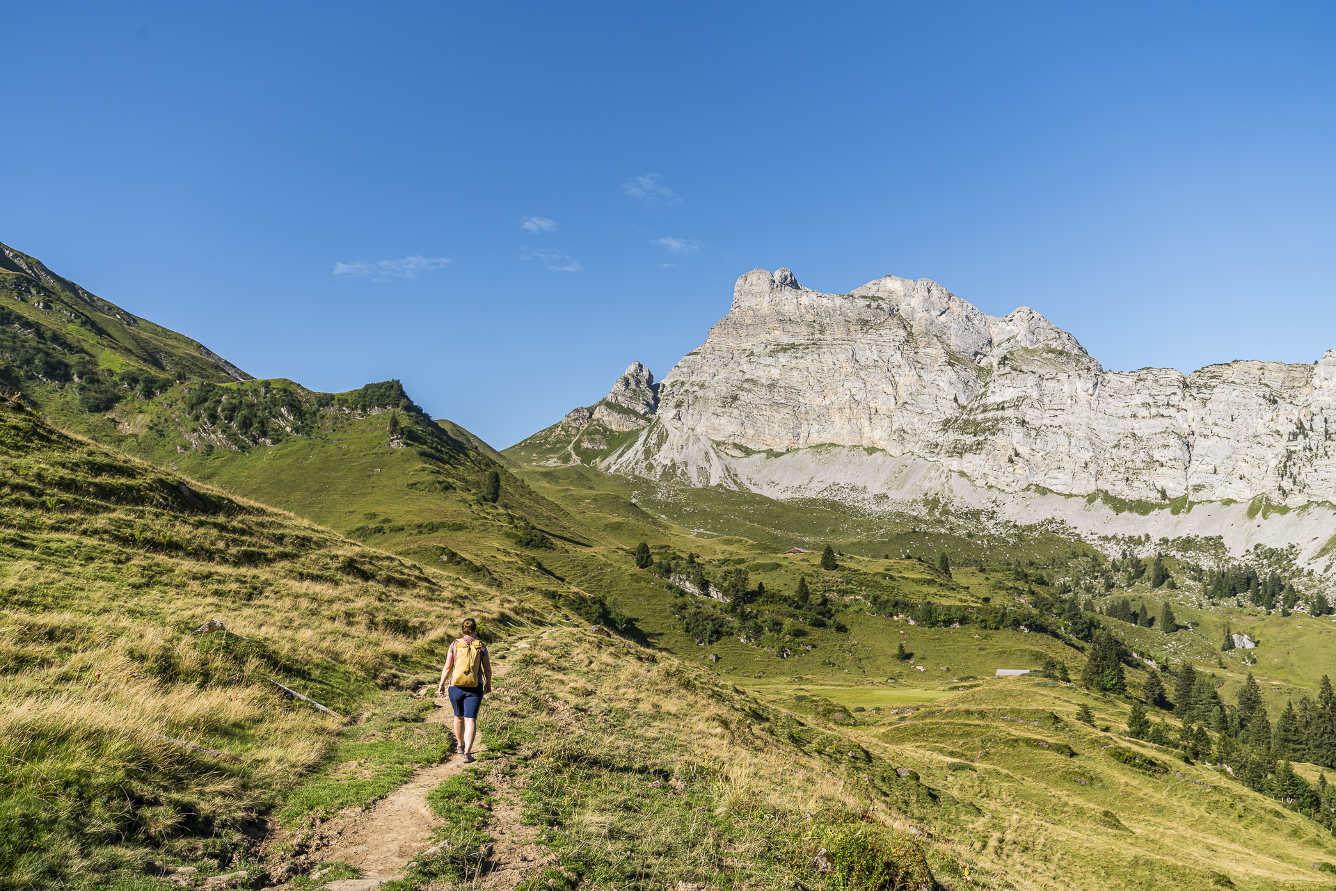
Hiking in the Diemtigtal: on the mountain trail Grimmiwasser
Advertising: Article in collaboration with PostBus AG
There is a lot for hikers to discover in the Diemtigtal Nature Park. From the leisurely Diemtigtal valley hiking trail to the Grimmimutz adventure trail on the Grimmialp to the challenging mountain tour to the Rauflihore, there are a variety of hiking options in the approximately 16-kilometer-long side valley of the Simmental. This also includes the Grimmiwasser power resort mountain trail. In mid-August we explored the circular hike to the legendary red springs in the furthest corner of the Diemtigtal. A tour that delights with a wonderful mountain panorama and alpine idyllic landscape.
[alert color=”FFFFFF” icon=”Select an Icon” title=”With the post bus to Diemtigtal“]In collaboration with PostAuto In this section I present to you selected excursion destinations in the Bern/Central Switzerland region that are located along the various PostBus lines. After our previous detours to the Schallenberg, the Gadmen- and Rosenlauital will have this time with the Diemtigtal line went on a trip to Grimmialp in the middle of the Diemtigtal Nature Park.
[/alert]A trip to the Diemtigtal Nature Park
The Diemtigtal extends from Oey on the Spiez – Zweisimmen train line to Grimmialp, where Seehorn, Spillgerte, Rauflihorn and Männlifluh rise to form an impressive valley end. Since 2011, the Diemtigtal, together with parts of the municipality of Zweisimmen, has carried the label of the Regional Nature Park . On the one hand, this is due to the diverse habitats that are worthy of protection, as well as the alpine farming, which is of great importance here. Due to its easy accessibility from the Bern agglomeration, the Diemtigtal is a popular local recreation destination, especially on weekends.
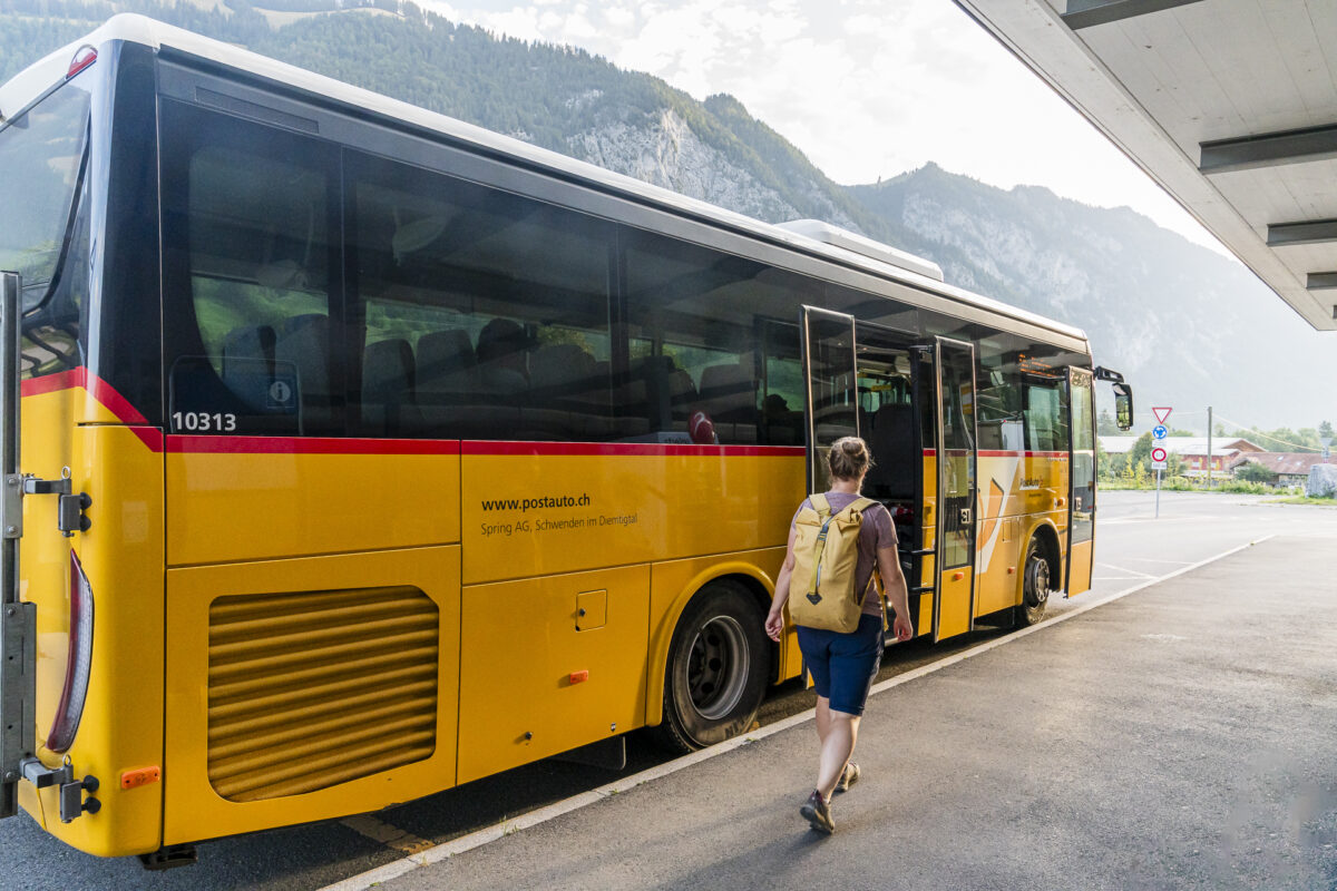
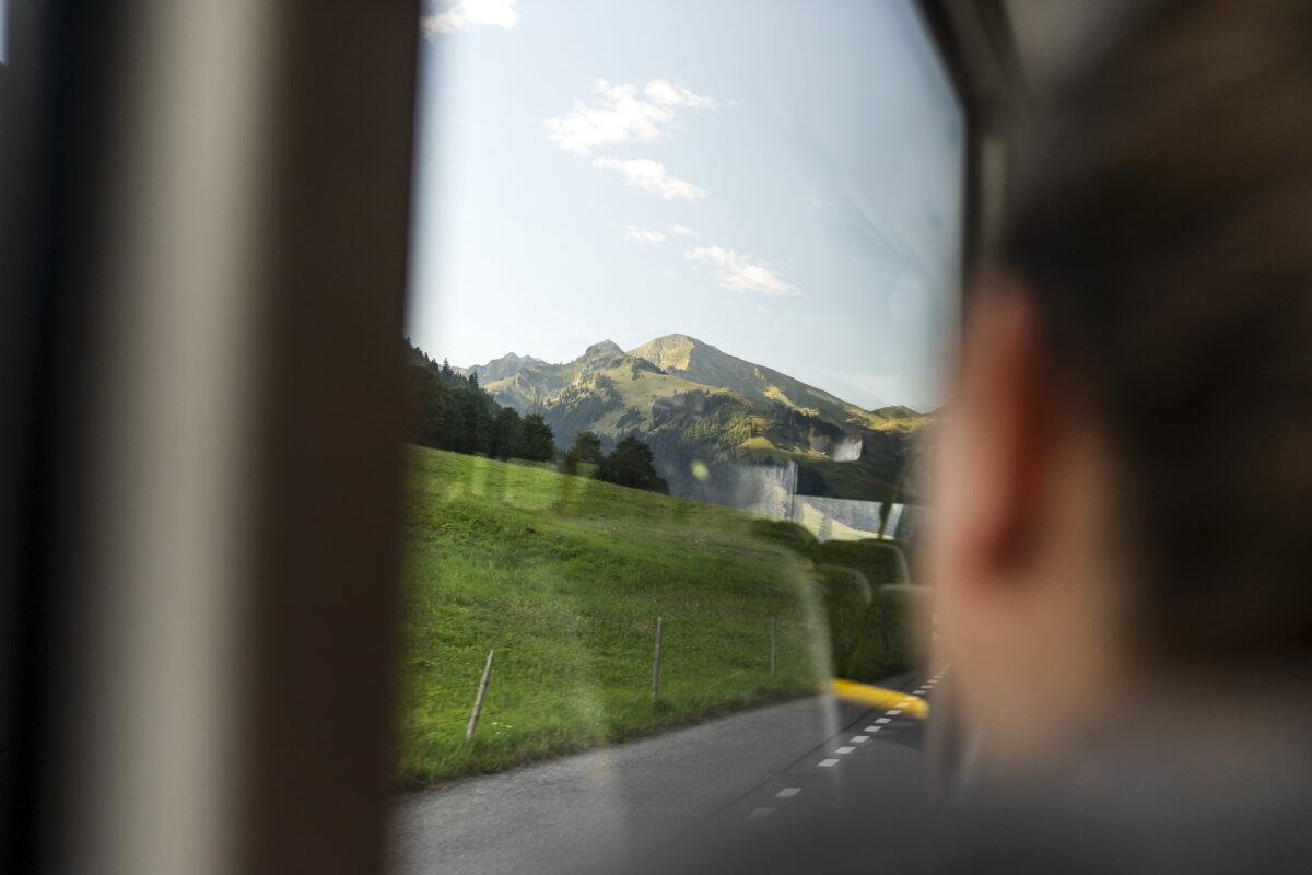
I am all the more surprised when we are the only people at the Oey-Diemtigen train station who change from the train to the post bus connection towards Grimmialp. Maybe 7:35 a.m. on a Sunday morning is just a tad too early for many people. Whatever – we’re doubly happy. The post bus ride from Oey to the starting point of our hike on Grimmialp takes thirty minutes. Time to sit back and admire the impressive landscape through the post bus window. A highlight is the drive through the town center of Diemtigen. One house more beautiful than the other – impressive Simmental carpentry, which was honored with the Wakker Prize in 1986.
On the mountain path to the Grimmiwasser powerhouse and the mineral springs
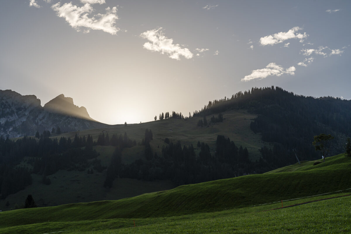
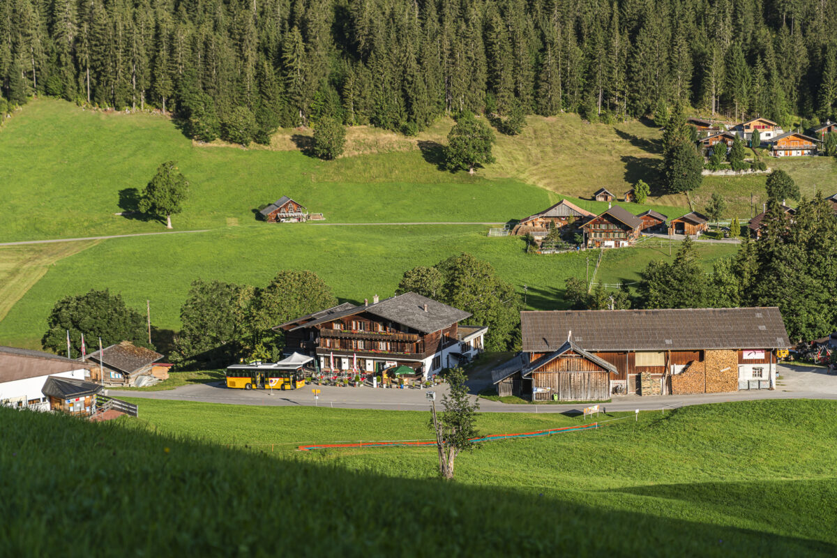
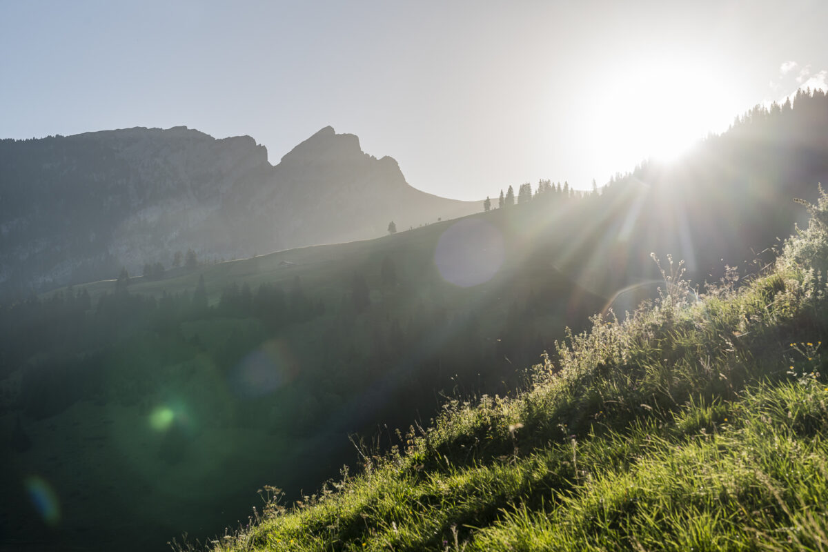
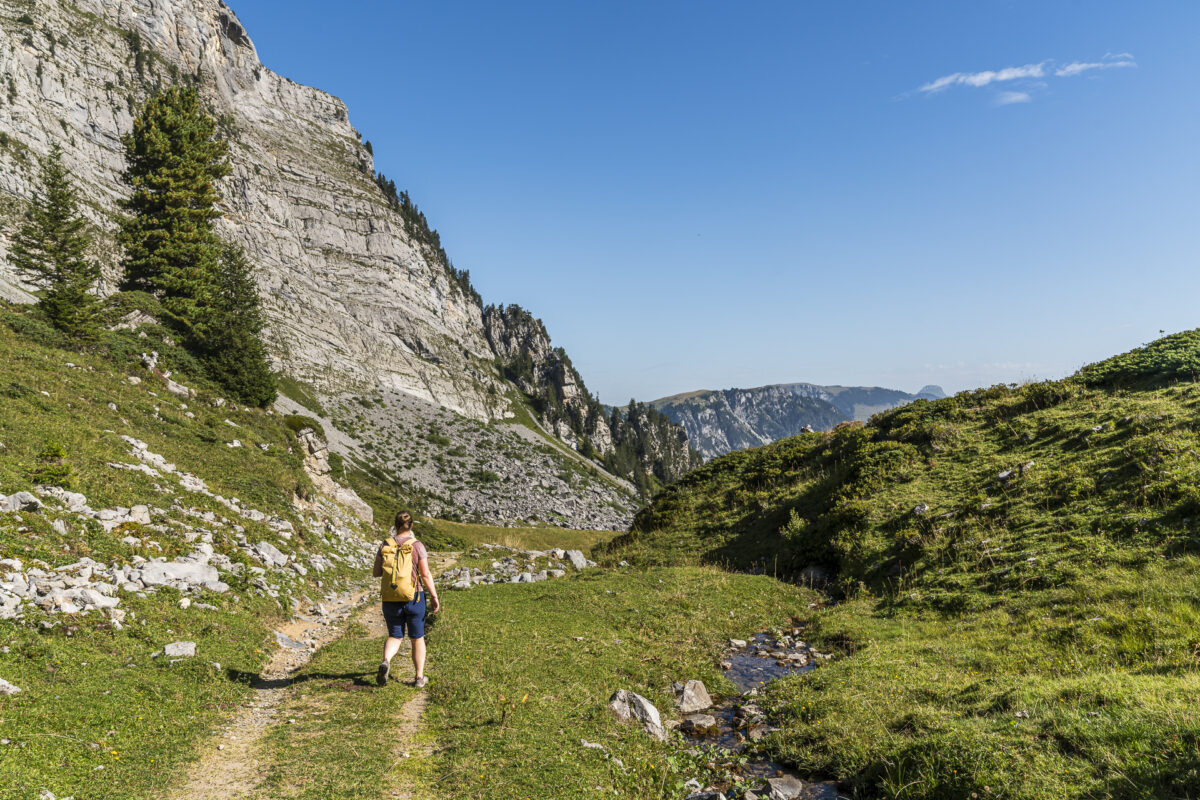
When you arrive at Grimmialp, the hamlet is still in the shadows. But not for long. The sun is already peeking out from behind the animal watch. Our plan: to complete the circular hike on the Grimmiwasser power resort mountain trail in a clockwise direction. So we climb up the western flanks of the Stierenberg, which are mostly still in the shade, towards Alp Grimmi and, when the sun is higher, we can descend through the shady Nideggwald.
The circular hike leads from Grimmialp to the iron-rich springs at almost 1,900 meters above sea level, which played a key role in Grimmialp developing into a health resort in the 19th century – the Kurhaus Grimmialp, built in 1899, is a reminder of this time.
Climb towards Stierenberg
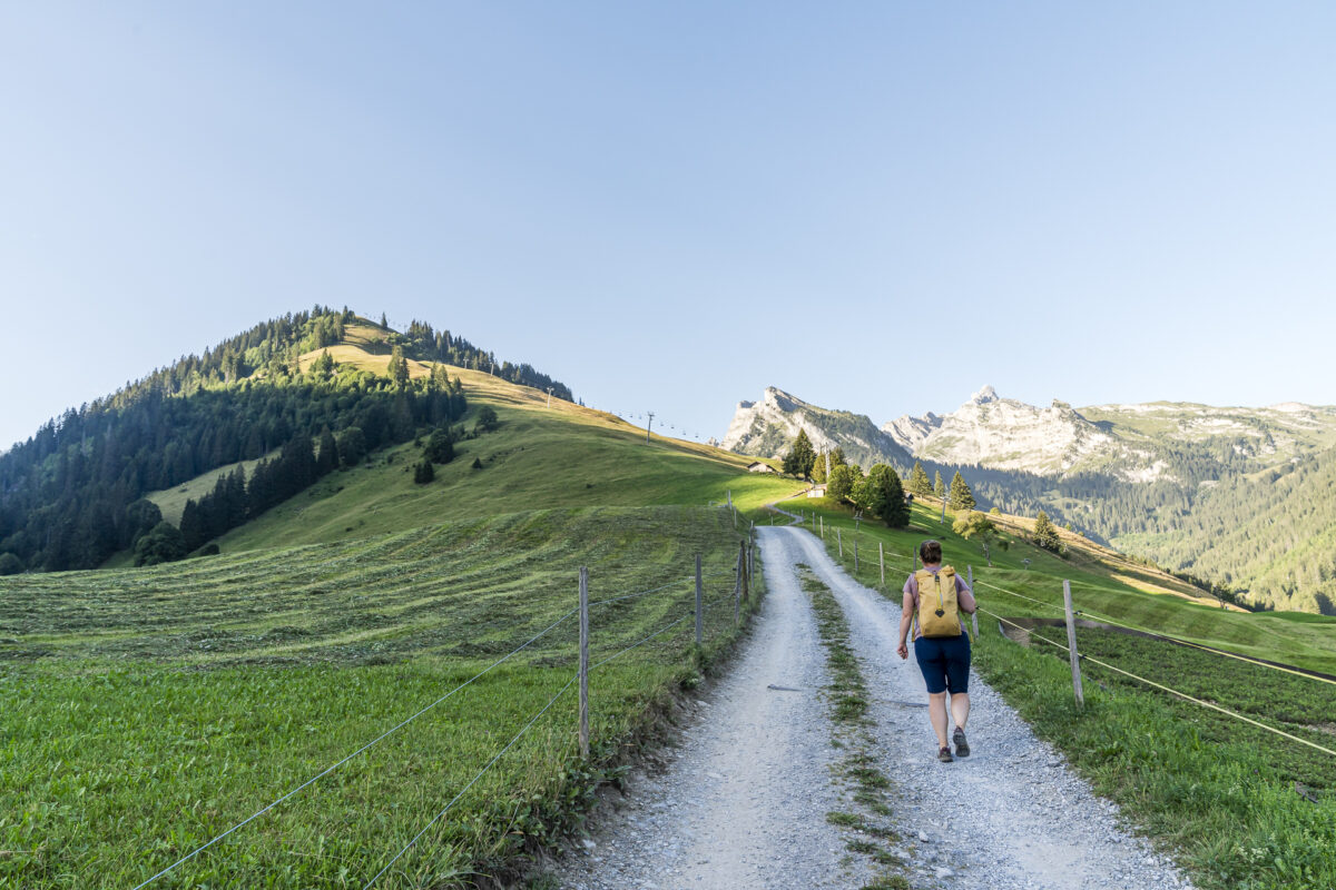
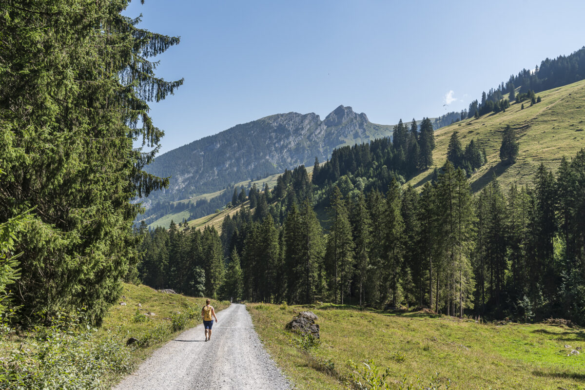
The climb from Grimmialp over Alp Nidegg to Nidegg-Stübli follows a wide gravel path. The path is steep in sections and makes us pant. Alternatively, the altitude difference could also be overcome with the chairlift. This is in operation on weekends during the summer months.
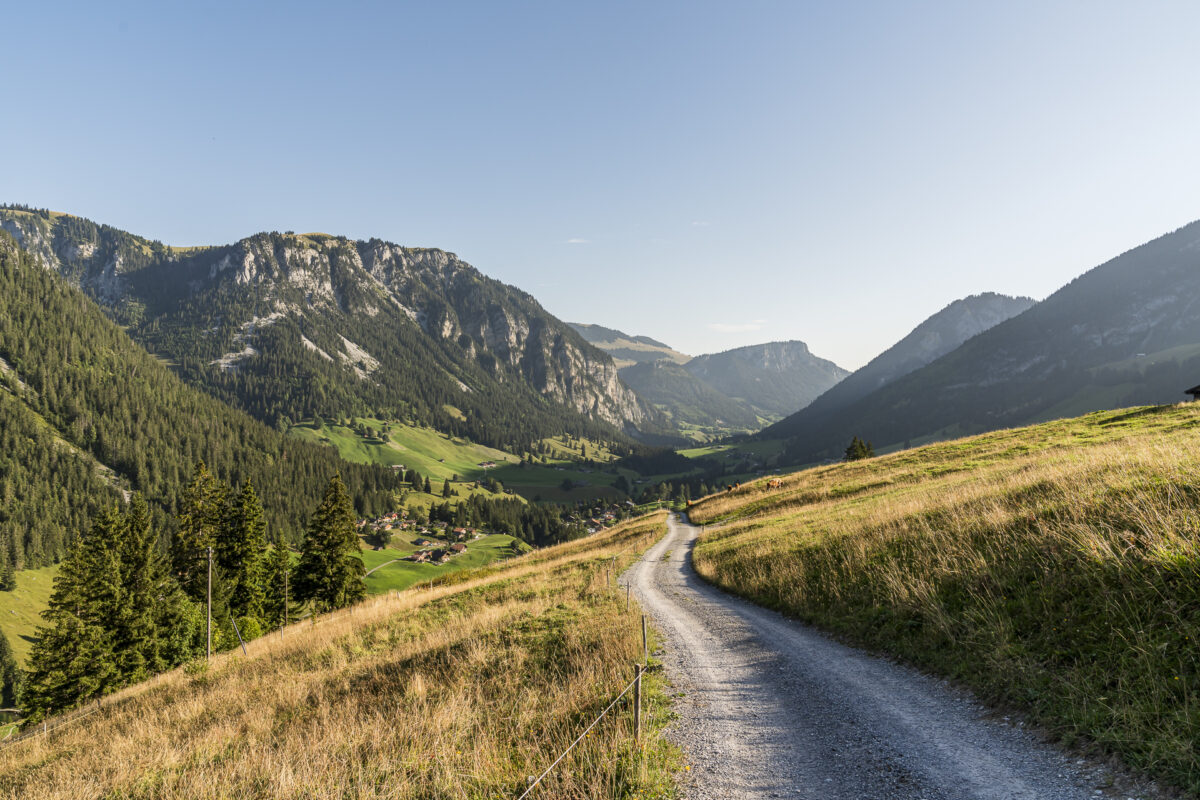
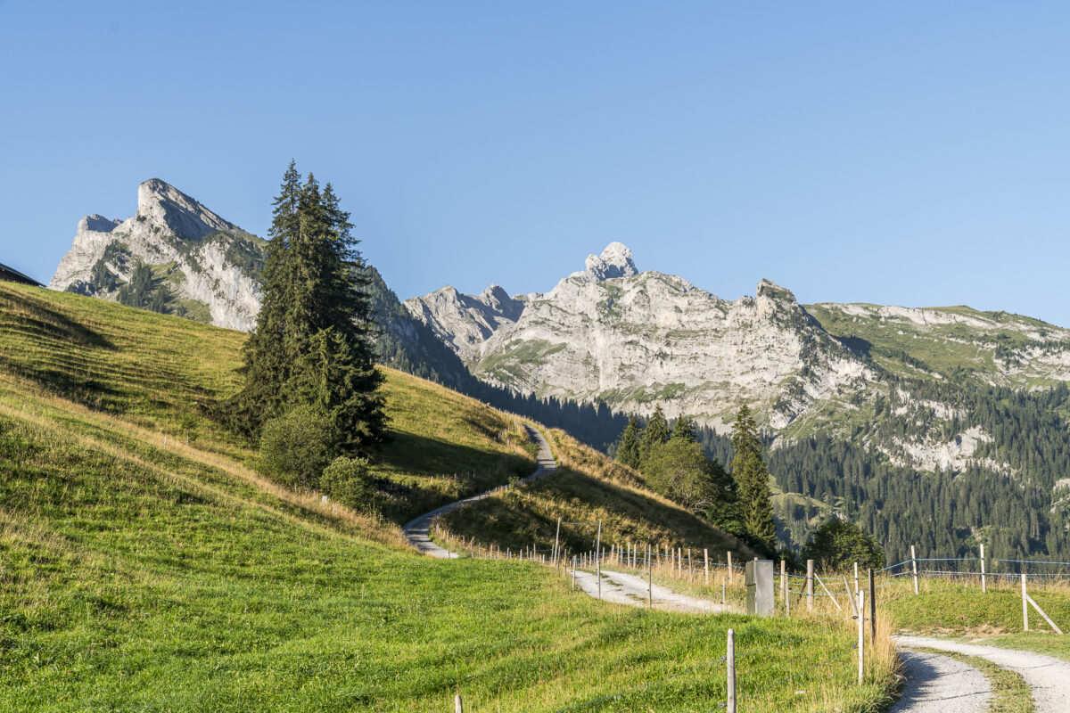
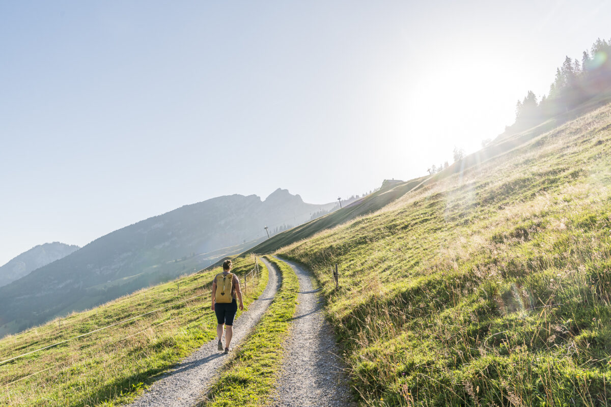
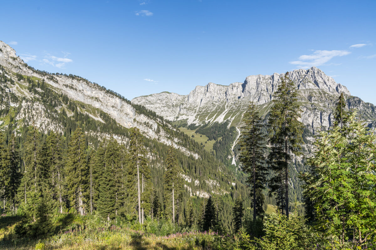
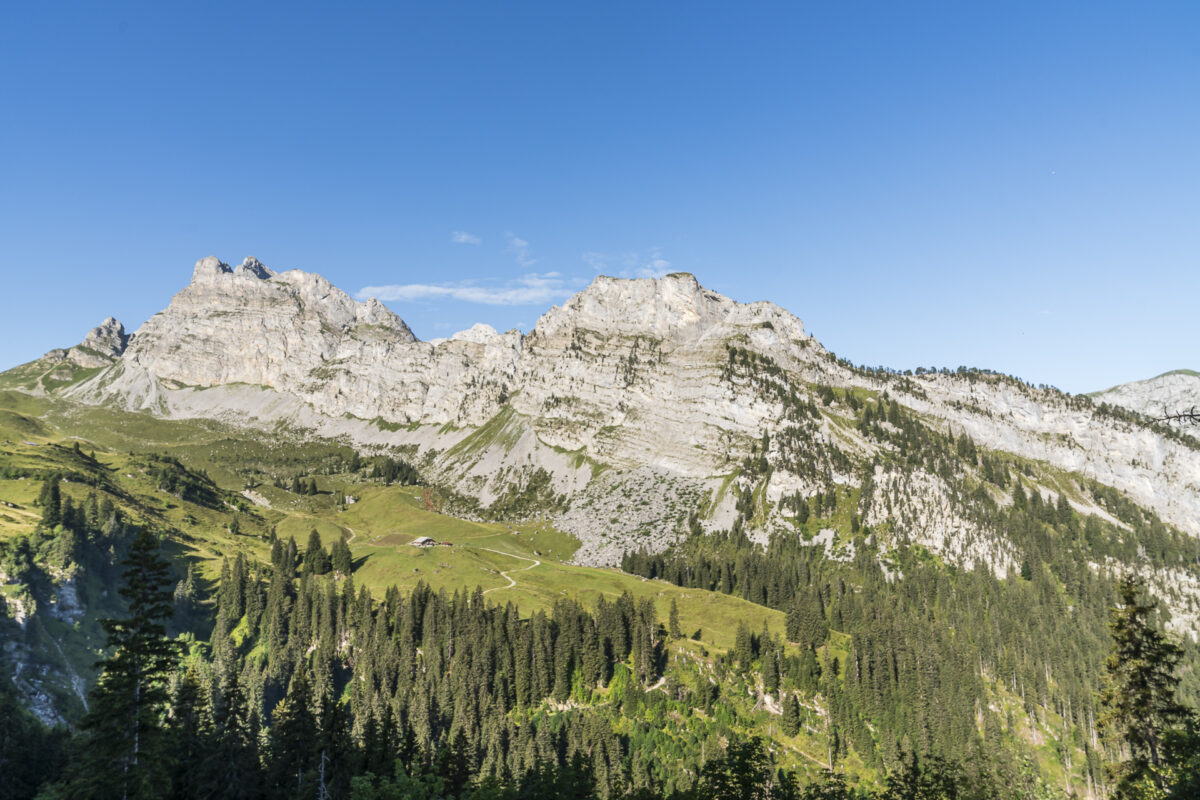
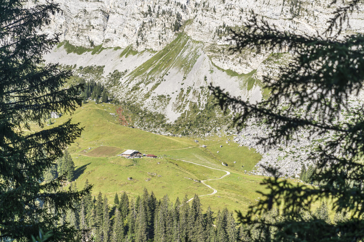
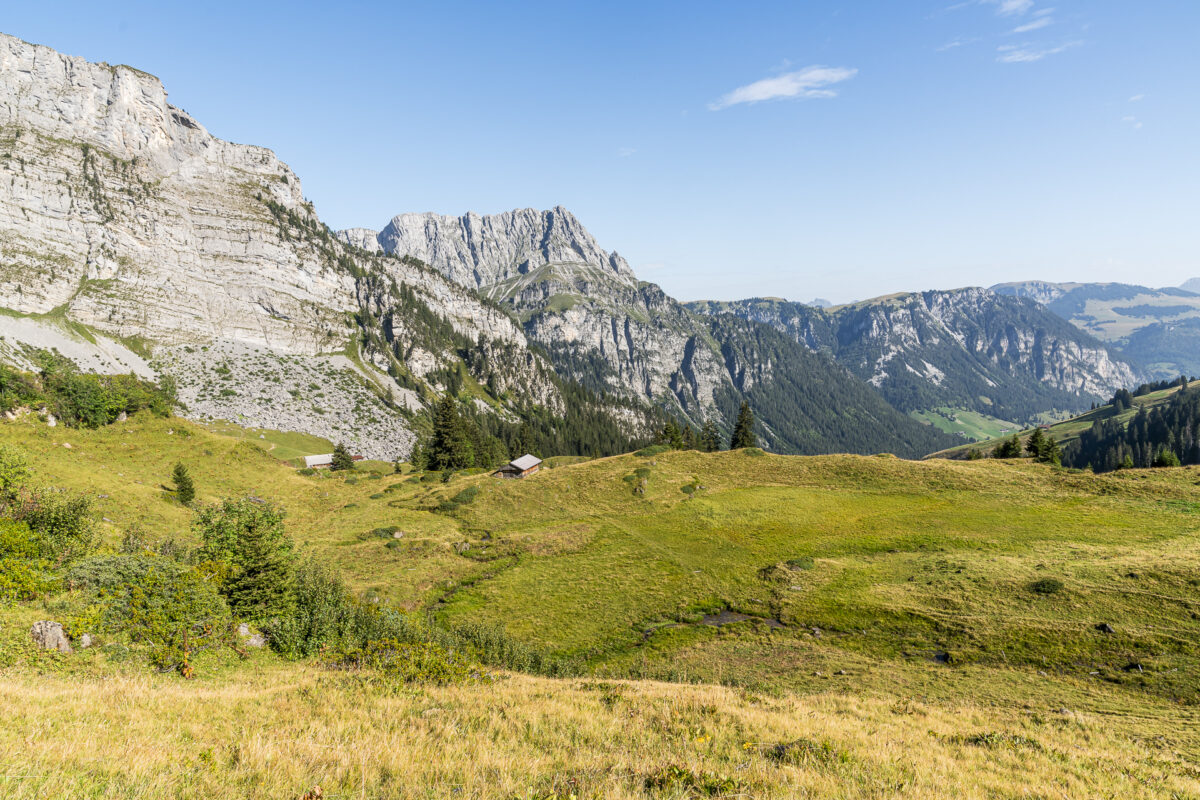
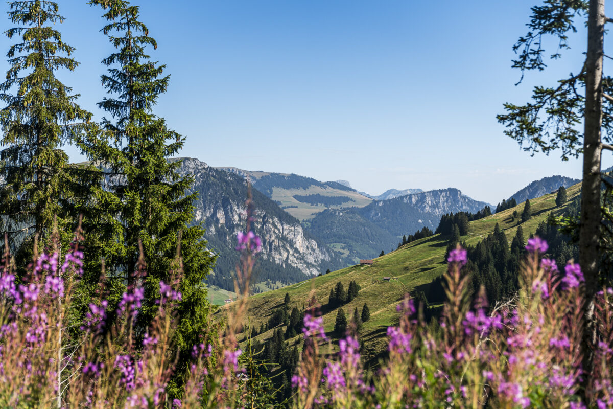
As the altitude increases, the view towards Grimmifurggi opens up – the pass crossing from Diemtigtal to Obersimmental. And our destination – the Alp Grimmi alpine hut, framed by the steep rock faces of the Fromattgrat – can already be seen on the opposite side of the valley basin.
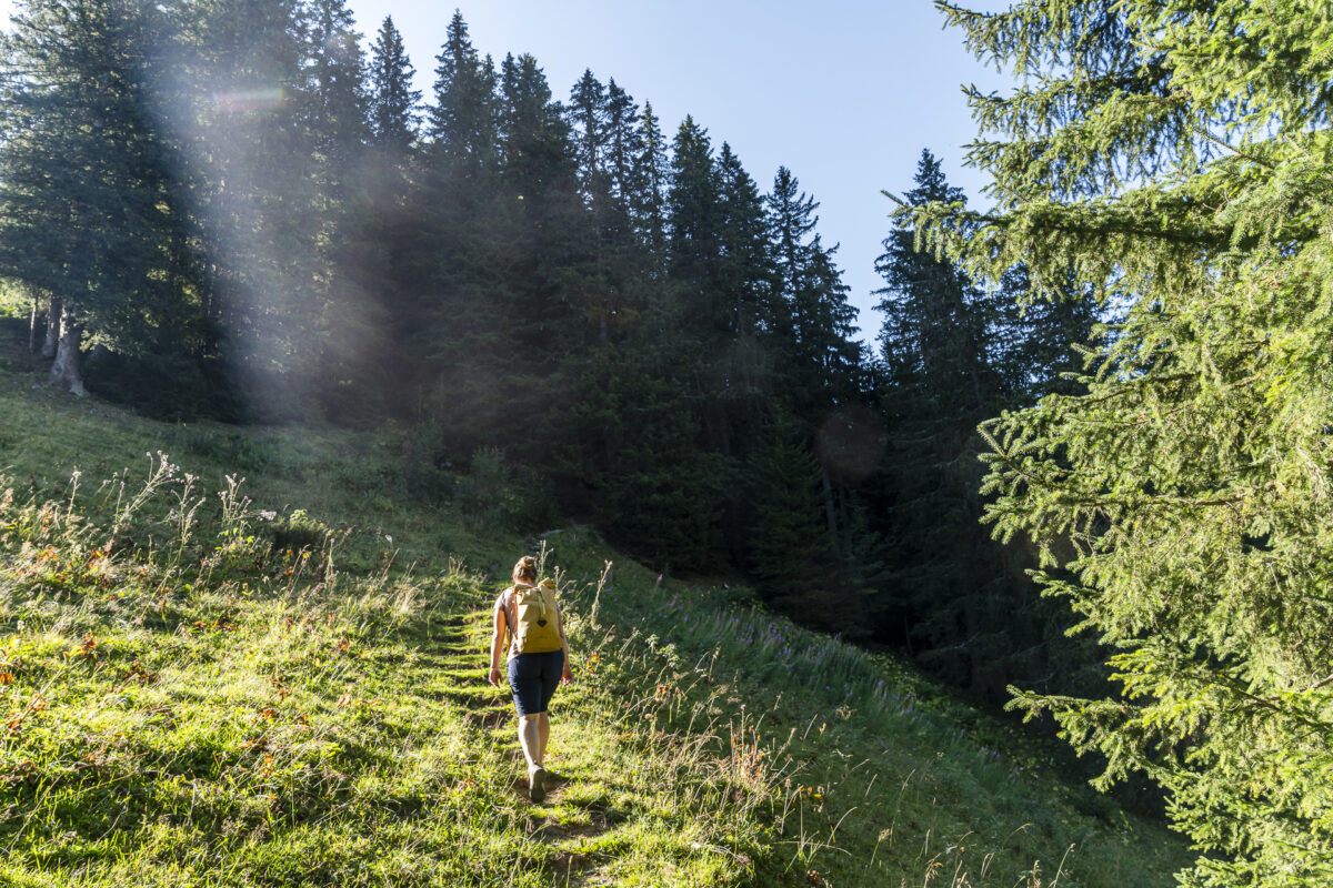
Once you have overcome the first sweaty 400 meters in altitude, the gravel path turns into a forest path. We are now still a good 150 meters away from the Alp Grimmi high plateau at around 1,800 meters above sea level. However, these feel significantly less strenuous – probably because the route is much more varied and requires more attention.
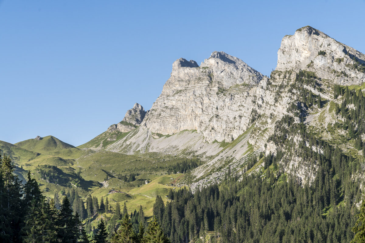
Idyll on Alp Grimmi
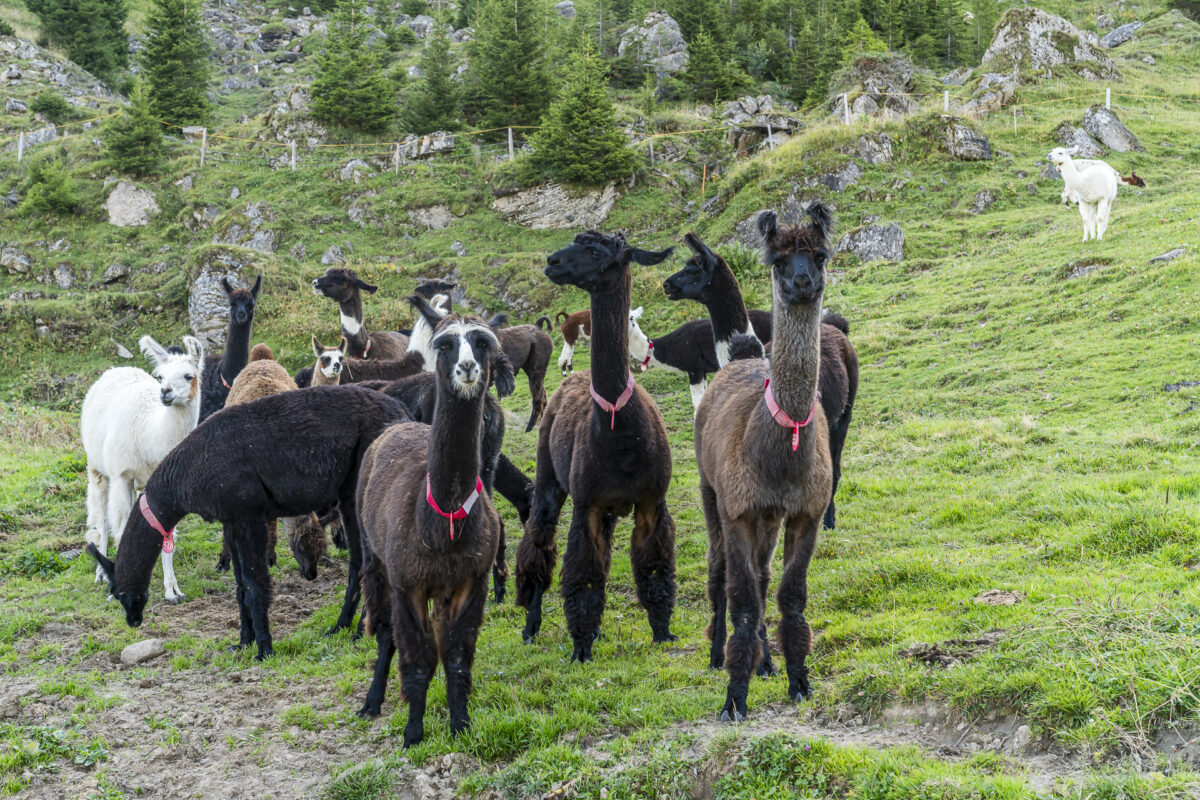
At Alp Grimmi we are greeted by a group of curious llamas. The high plateau is used for alpine farming and the hiking trails lead through the middle of the alpine pastures. Both llamas and the cows seem to be friendly to us. Nevertheless, we make sure to keep a sufficient distance and not walk through the middle of the herd.
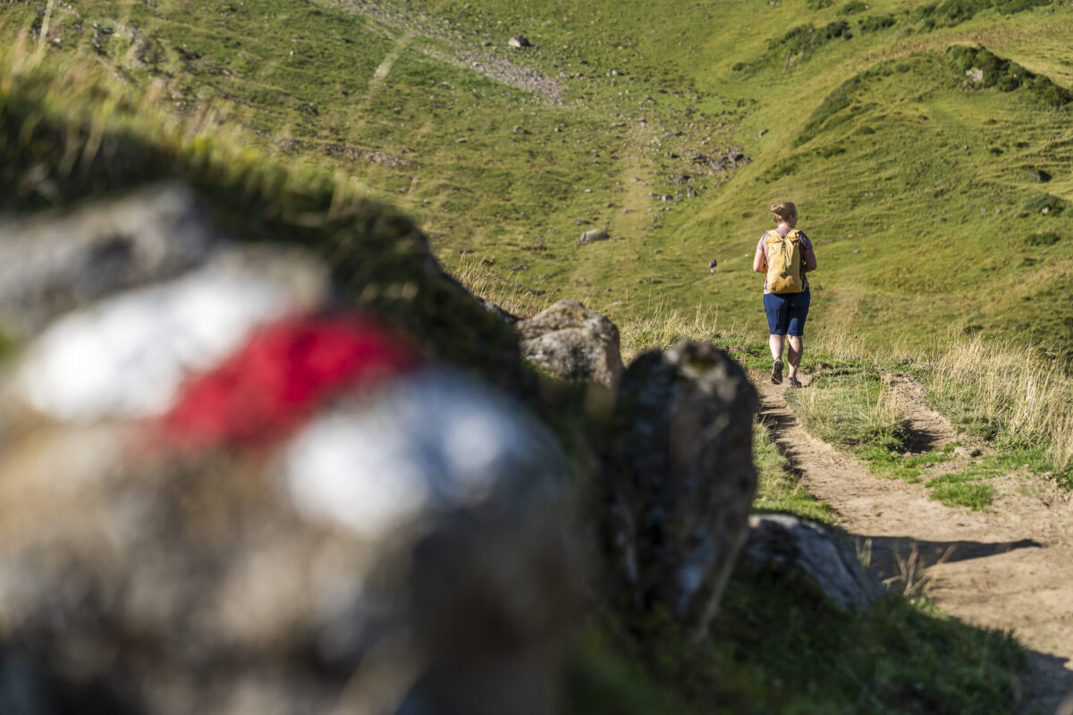
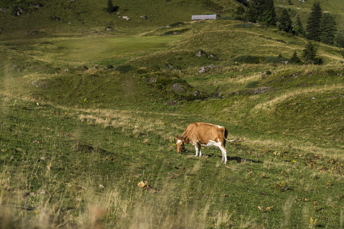
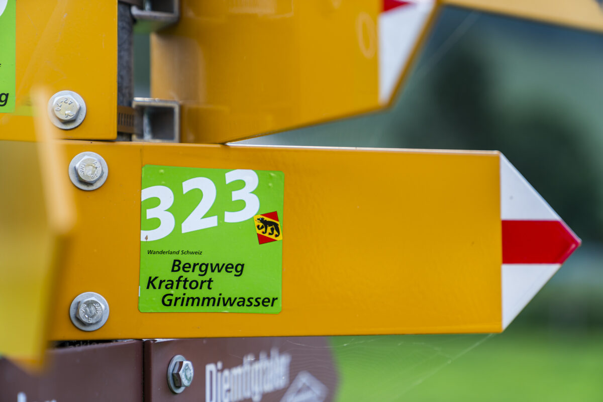
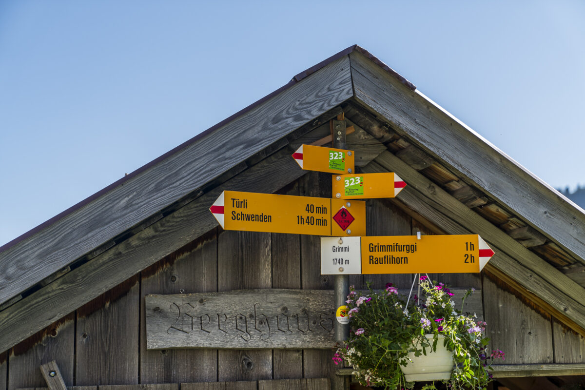
Apart from the animal encounters, Alp Grimmi inspires us with its impressive panorama! Shortly after the fork in the road towards Grimmifurggi, a path specially marked with the route symbol branches off from the normal hiking trail on the left. We were confused at first because this path wasn’t visible on the hiking maps. But it’s worth following these signs, as they will lead you to the legendary red springs.
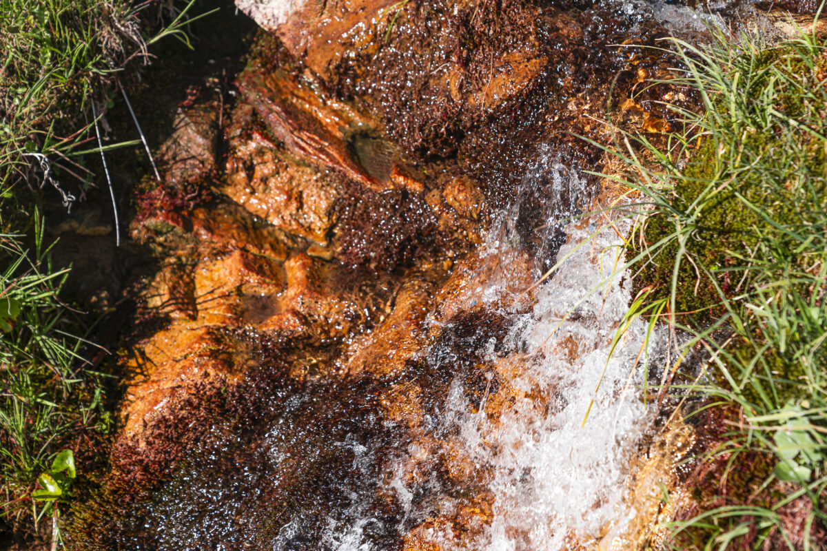
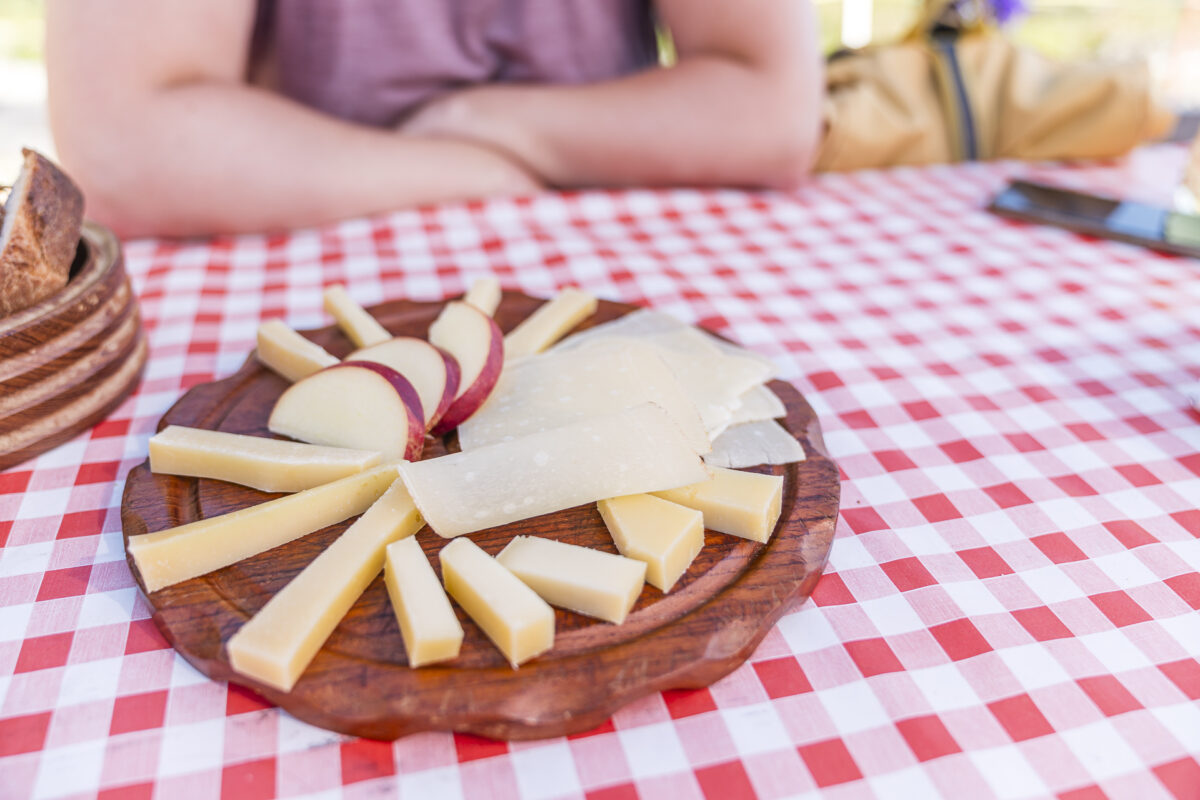
A good five minutes from the mineral springs is the Alp Grimmi alpine hut. Here the Erb family produces Alpkäse, Mutschlis and sensationally good goat cheese. They also serve guests with homemade products and cool drinks. The stop is worth it!
Along the Senggibach back to Grimmialp
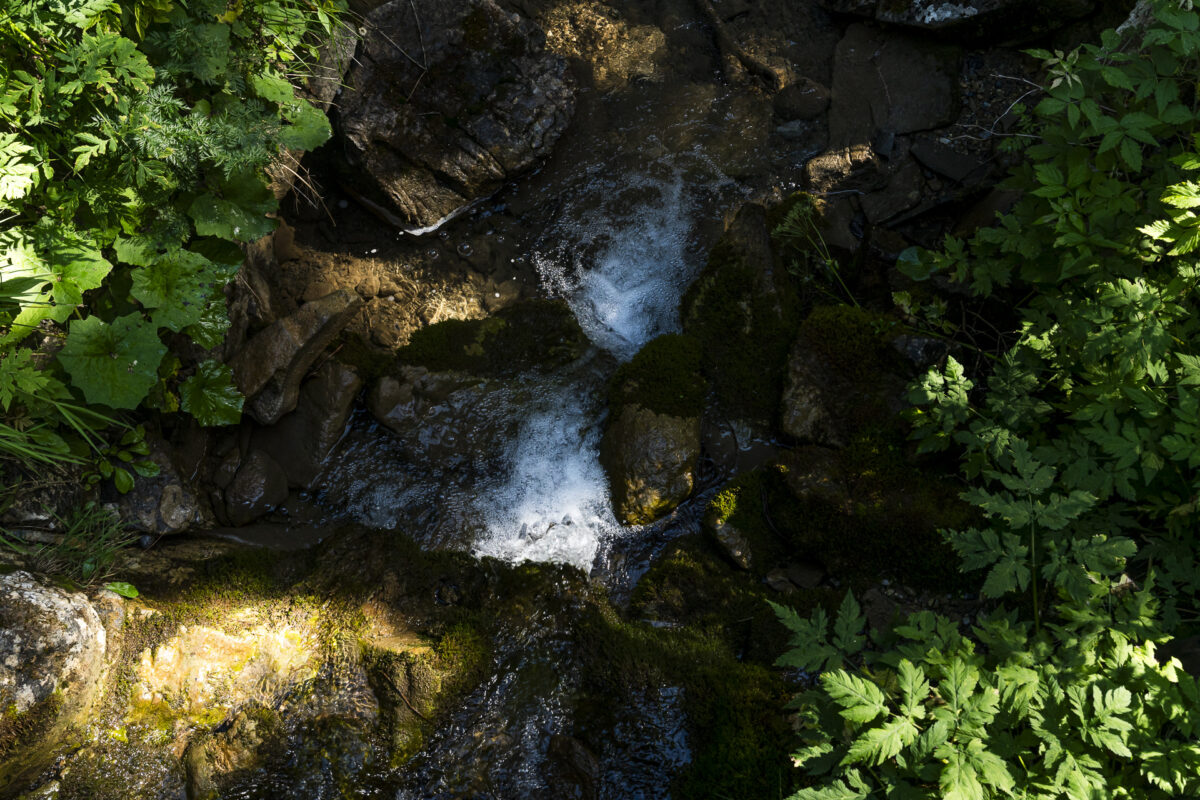
We then descend towards Grimmialp following the cheerfully bubbling Senggibach. The path again follows a gravel path. The first 200 meters are quite steep and therefore slippery. Afterwards, it’s time to take a leisurely stroll.
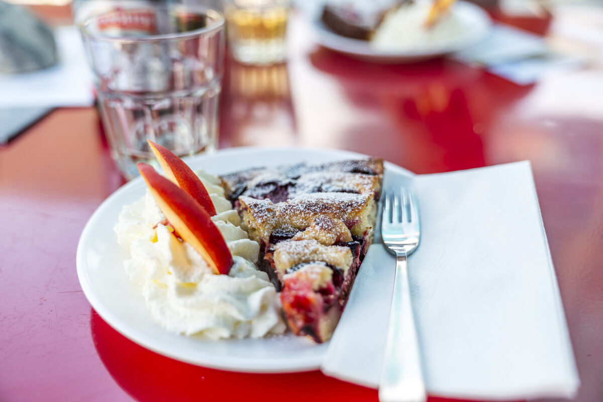
Back at the starting point, we treat ourselves to a delicious piece of plum cake on the sunny terrace of the Eggli restaurant. And then we take the 12:41 post bus back to Oey. An all-round perfect half-day trip for everyone from the Bern agglomeration. And for those who find this circular hike too short, there are various options for extending the tour (e.g. by adding a section of the valley hiking trail).
Eckdaten der Rundwanderung Grimmiwasser – Grimmialp
You can see the route of our hike on the Kraftort Grimmiwasser mountain trail on the following hiking map. The circular hike starts and ends on Grimmialp opposite the valley station of the Grimmialp chairlift. From there you first follow a white-red-white marked mountain hiking trail (difficulty T2). The route measures 10 kilometers and it is recommended to allow a hiking time of around 3.5 hours (without breaks). The descent from Grimmi to Nideggwald is steep and sometimes slippery – poles are an advantage here.
To get to the red springs, you have to follow the corresponding signpost above the Grimmi Alpine hut (the path is not visible on the map).
| Starting point | Bus stop Schwenden i.D., Grimmialp (1,227 m above sea level .) |
| Accessibility | reachable by public transport |
| Length | 10.5 kilometers |
| Altitude | ↗ 665 m ↘ 665 m |
| Duration | 3:30 h |
| Destination | Bus stop Schwenden i.D., Grimmialp (1,227 m above sea level) |
| Catering | Restaurant Eggli, Alp Grimmi |
Practical tips for your hike on Grimmialp in the Diemtigtal Nature Park
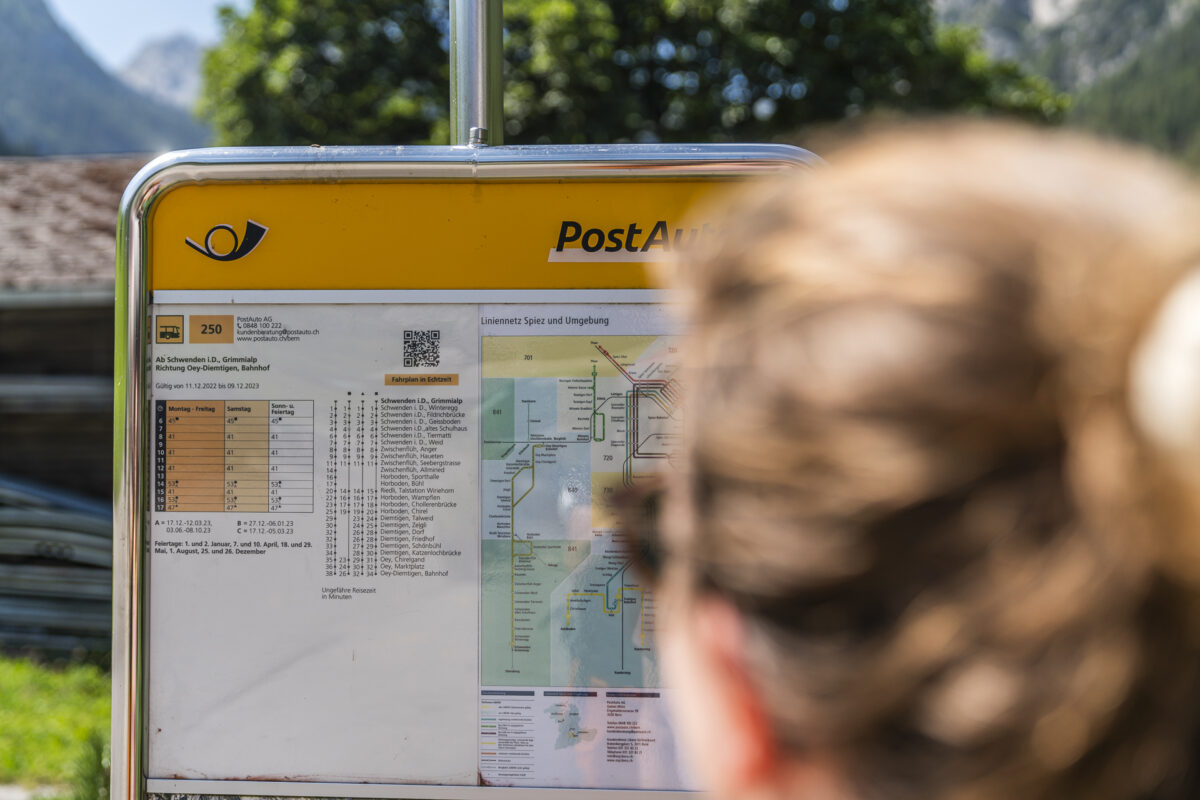
- The Grimmialp can be reached all year round from Oey-Diemtigen with line 250 (Diemtigtal line). The post bus runs every two hours in the morning (until 2 p.m.). There are hourly courses between 2:00 p.m. and 5:00 p.m.
- The mountain restaurant on Alp Grimmi is open daily from mid-June to mid-October.
- The chairlifts on Grimmialp are in operation until October 22nd on Saturdays and Sundays from 9:30 a.m. to 12:15 p.m. and 12:45 p.m. to 4:30 p.m. (note: 30 min lunch break!)< /li>
- For families with small children, we recommend the Grimmimutz circular trail. And for anyone looking for a sporty tour, the circular hike from Grimmialp via Alpetli and Fromatt to Seebergsee (approx. 20 km, 1,300 meters altitude, approx. 7 hours hiking time) is ideal. On this mountain hike you cross the “Spillgerten” nature reserve with its special flora and fauna.
- Further information about the timetable and other excursion destinations in the Diemtigtal can be found at PostBus website.


Leave a Reply