

La Dôle: A magnificent panoramic hike over the second highest Jura peak
La Dôle is just two meters shy of holding the title of the highest Jura peak on Swiss soil. Even though it is slightly lower than the 1,679-meter-high Mont Tendre, La Dôle may offer a superior panorama in a direct comparison. This can be verified on a picturesque hike from La Givrine through the scenic La-Dôle massif to St-Cergue.
Start in La Givrine
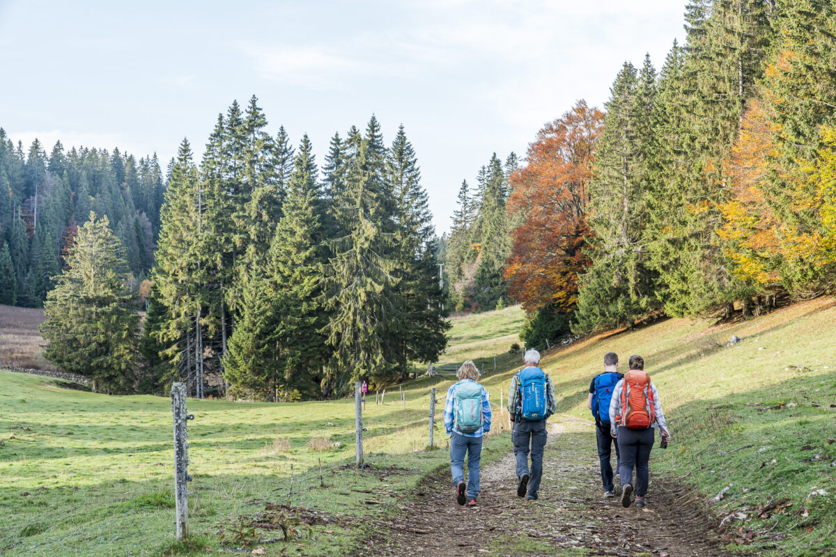
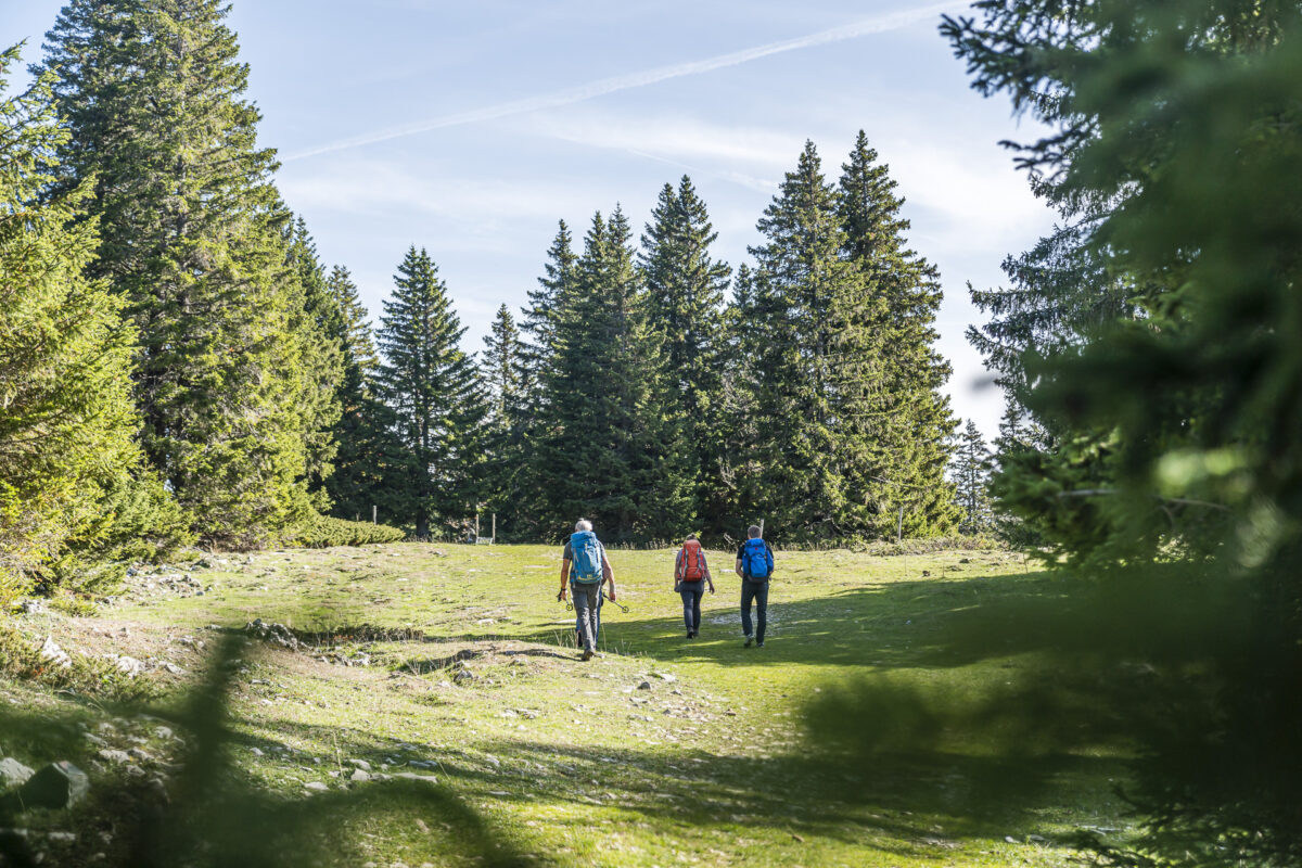
We embarked on this panoramic hike on a sunny October day along with my parents and my brother. Previously, we had completed two stages of the Jura High Trail starting in Le Pont, and conquered Mont Tendre as well. This experience perfectly prepared us for comparing these two nearly equal-height peaks of the Jura range.
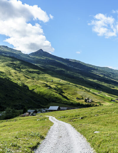
On the third and last day of our hiking journey, we consciously chose an alternative route, skipping the continuation of the Jura High Trail, whose final Stage 16 also leads to the summit of La Dôle. Instead, we opted for the more varied Chemin de La Dôle, which allows one to experience the La-Dôle massif from three different perspectives. Our starting point was the unassuming train station La Givrine, nestled in a typical Jura landscape.
Following the Chemin de la Dôle to the Second Highest Peak of the Jura
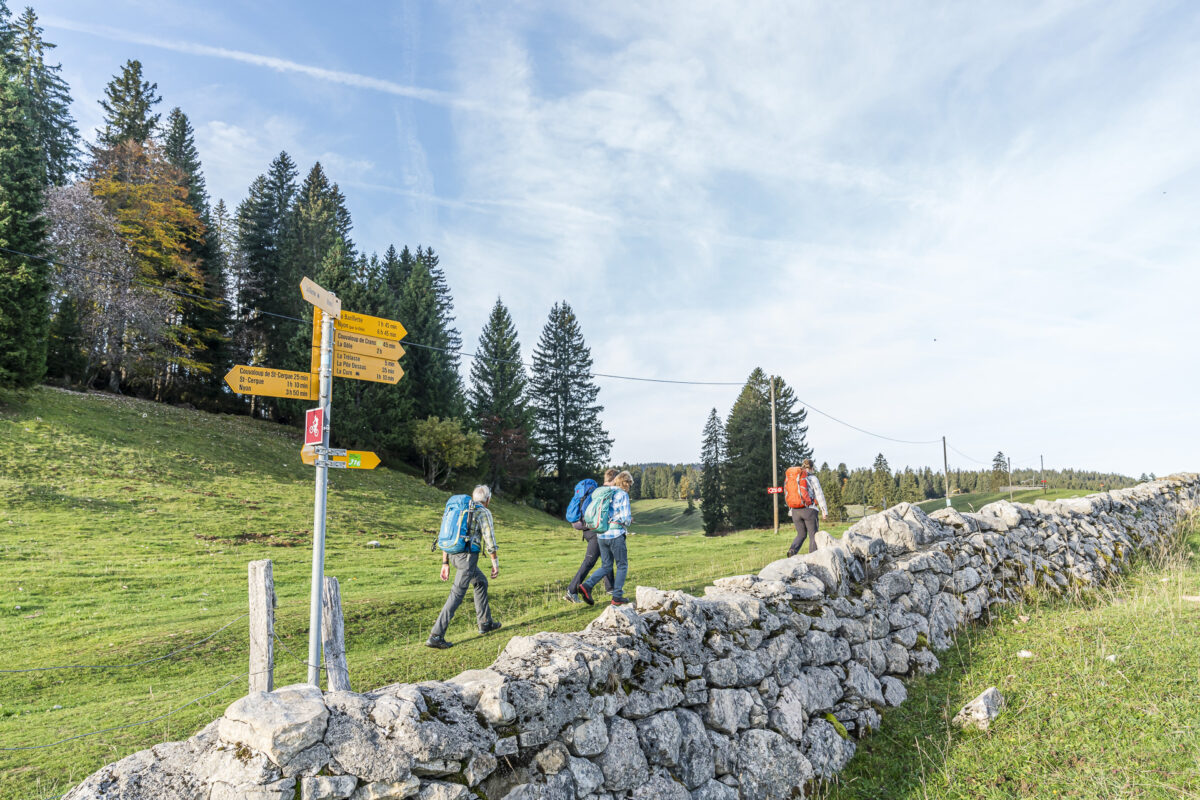
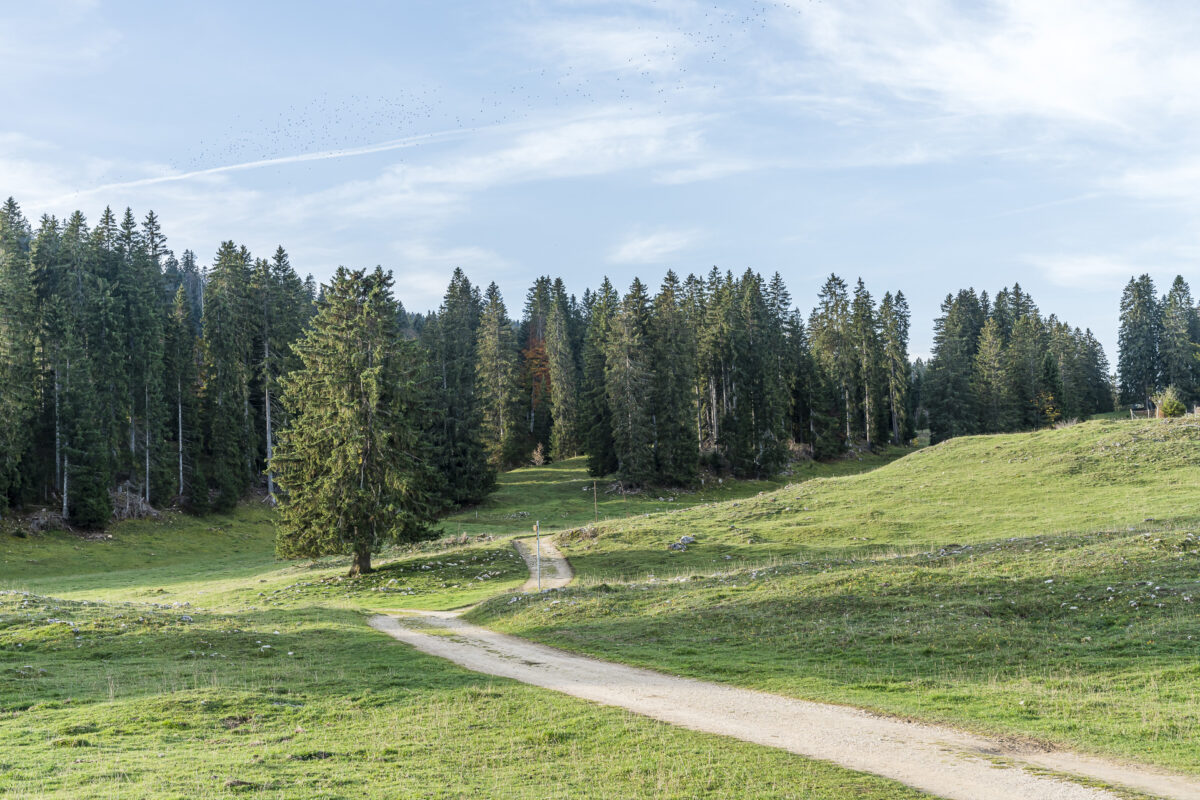
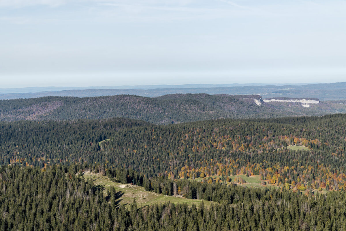
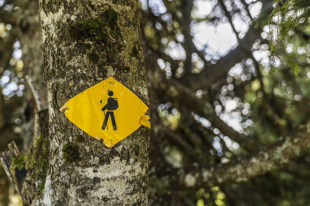
The Chemin de La Dôle is clearly marked on the signposts with route number 116, making it easy for us to navigate through pastures lined with majestic groups of fir trees. In winter, winter sports are conducted on the north side of La Dôle. However, during the summer season, the facilities of the La Dôle/Les Tuffes ski area are dormant, making it particularly quiet and peaceful.
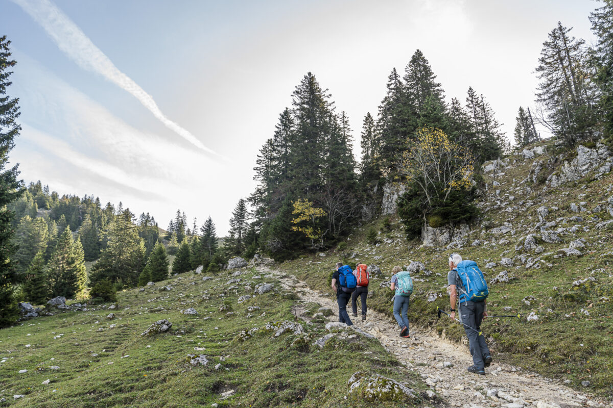
The initially wide gravel path turns into a narrower and steeply ascending trail after about an hour of walking. Shortly after the elevation marker at 1,434 meters above sea level, we deviate from the route of the Chemin de la Dôle and turn left onto the hiking trail towards Col de Porte. This “Direttissima” to the pass transition from the north to the south side of the La Dôle massif is a bit steeper, but once at the pass height, it offers a magnificent ridge walk up to the peak.
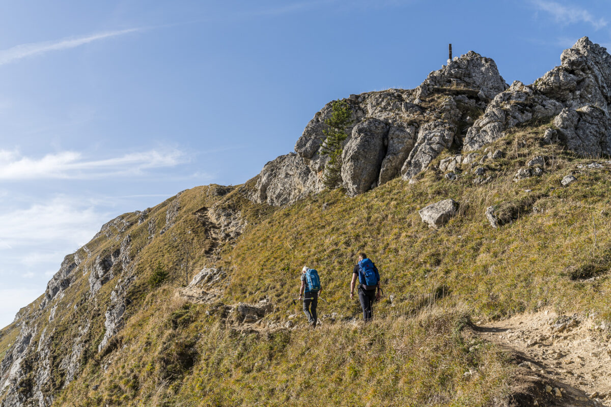
A Panoramic Hike Par Excellence
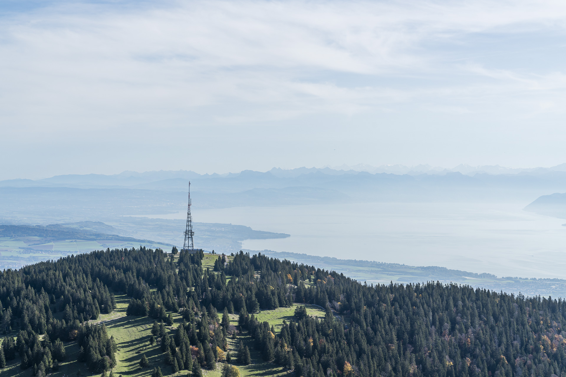
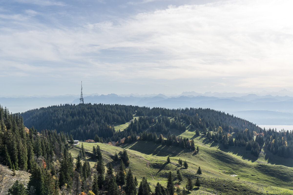
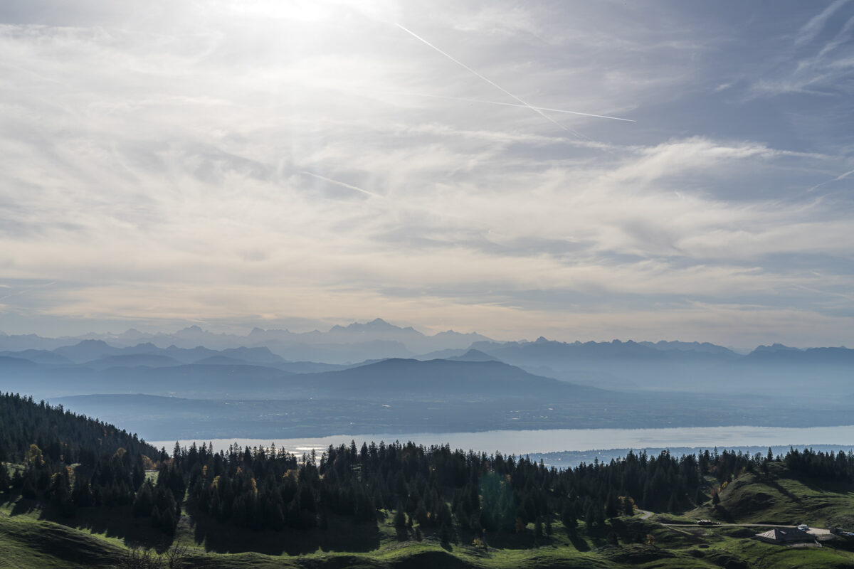
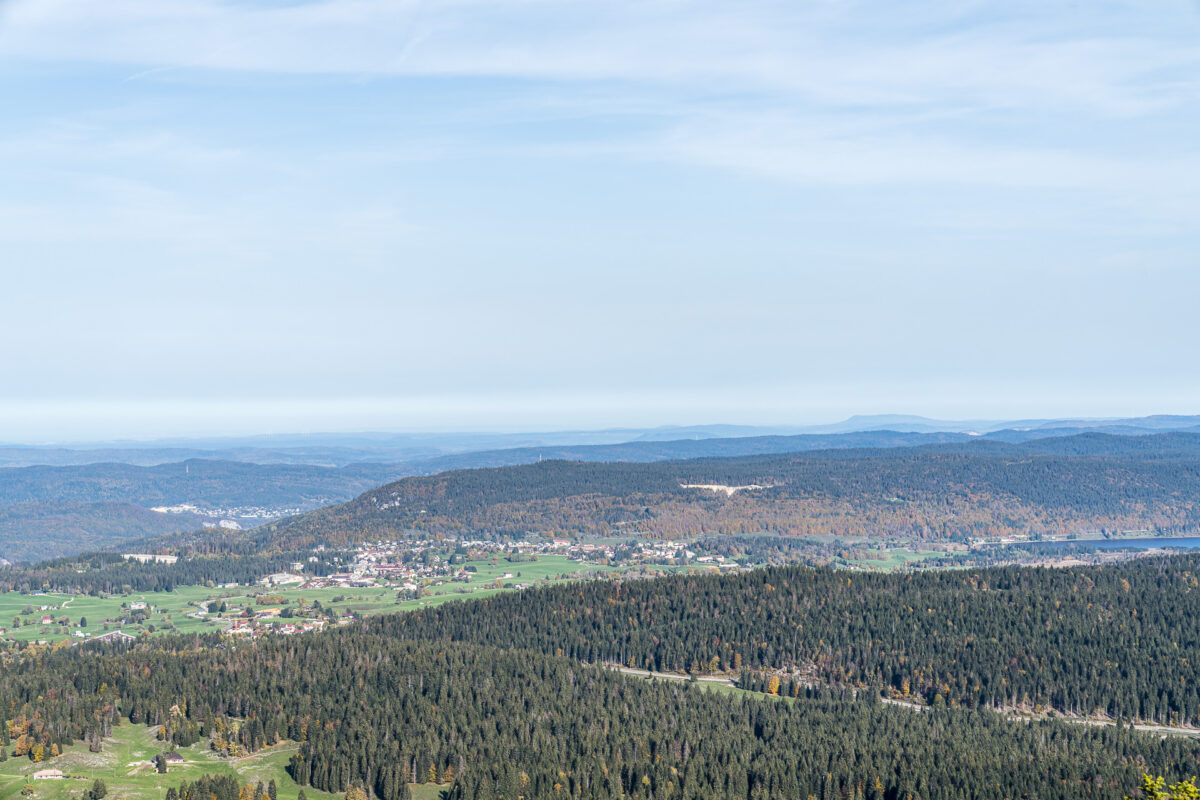
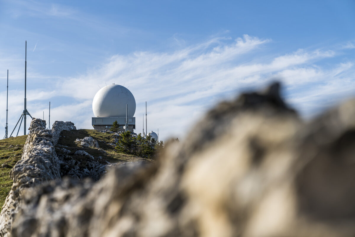
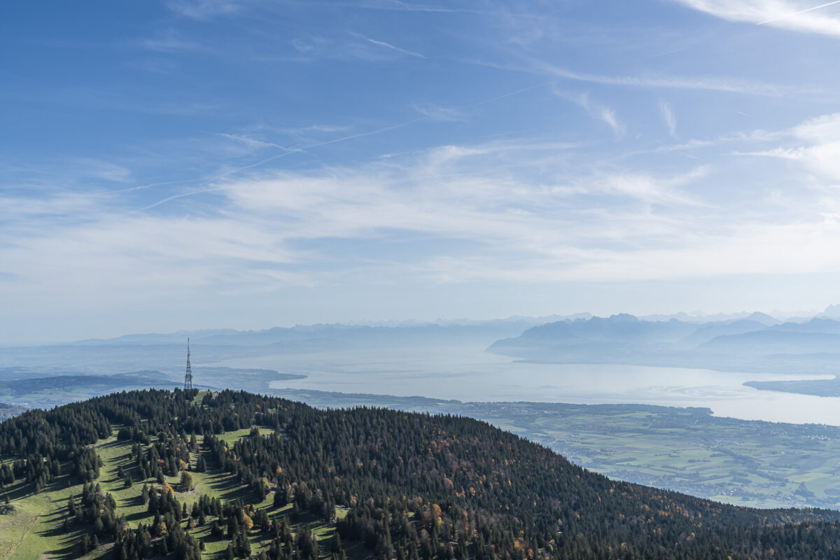
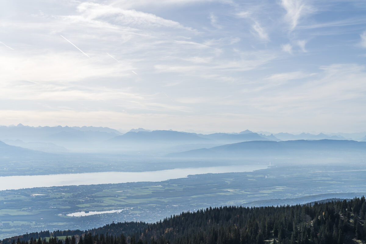
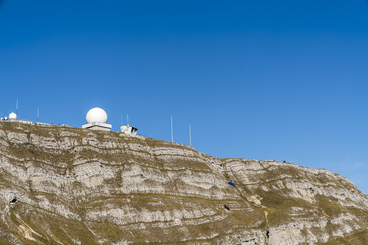
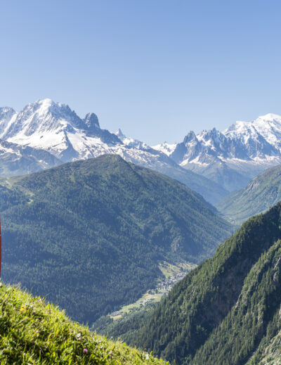
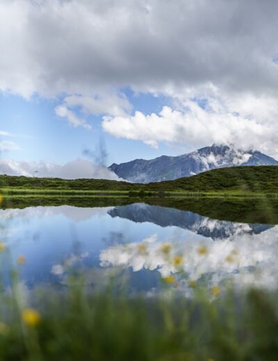
On the final meters, the distinctive and widely visible white domes (facilities of a weather station and airspace surveillance for Geneva Airport) guide us purposefully to the highest point of La Dôle. This allows us to effortlessly let our gaze wander in all directions. What an impressive panorama! On one side, Lake Geneva, including the surrounding Alpine scenery, unfolds before us. On the other side, we overlook the seemingly endless expanse of the Jura. Simply magnificent!

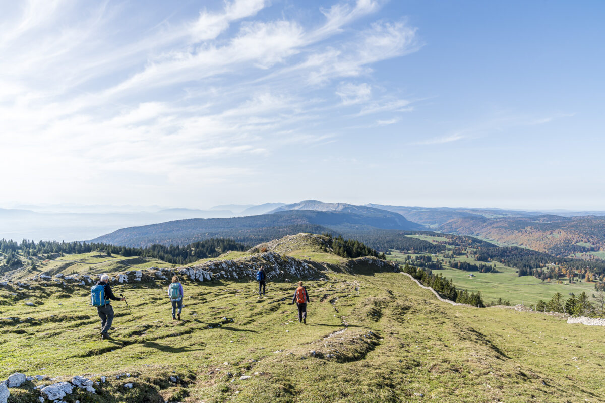
After a brief pause (the gusty wind urges us onward), we continue along the Chemin de La Dôle towards St-Cergue. The hiking trail here makes a gentle curve over alpine pastures, thereby avoiding the steep southern slopes directly beneath the summit. The path, interspersed with numerous large boulders and loose gravel, makes the descent more strenuous than expected. However, as soon as the Chalet de La Dôle comes into view, the path conditions improve. And with it, the temporarily dampened spirits of our hiking group also lift.
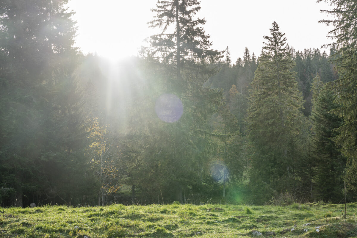
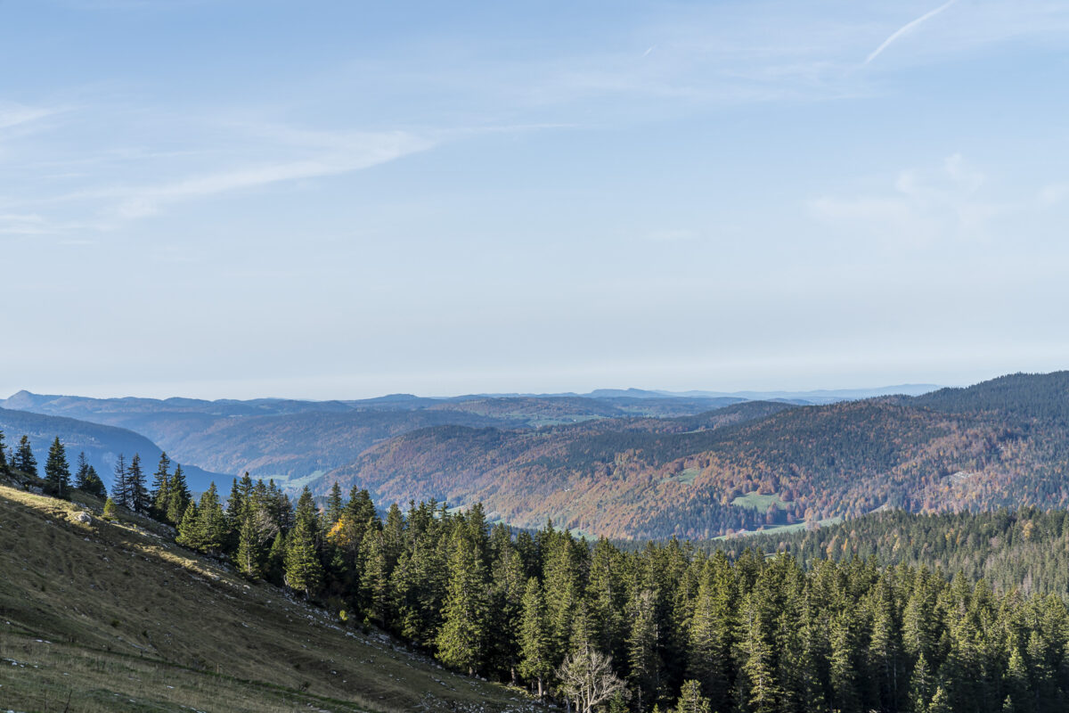
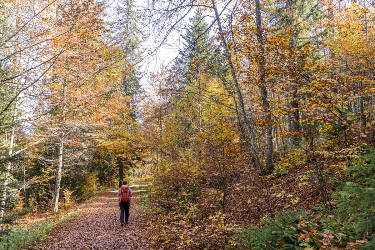
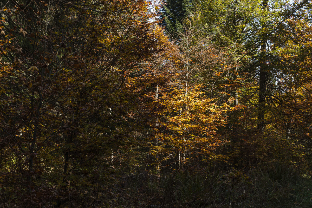
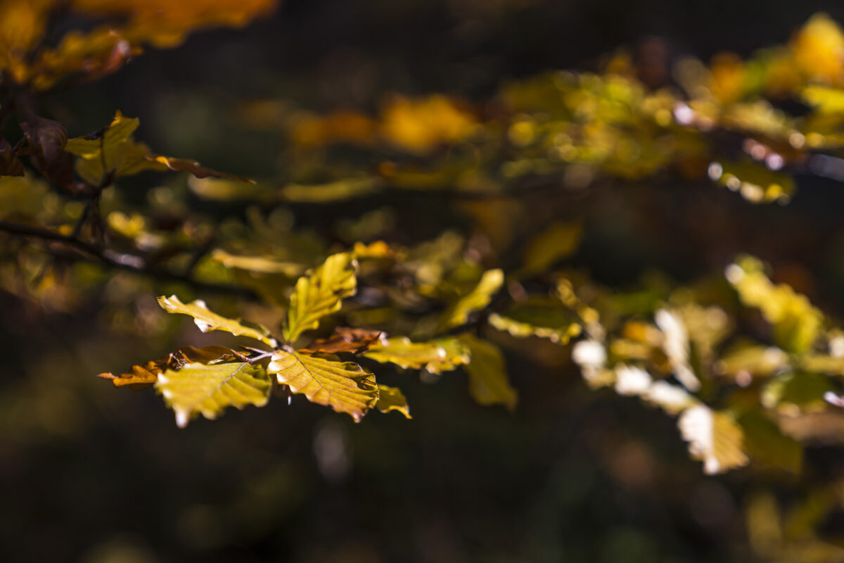
Through Deciduous Mixed Forests to Saint-Cergue
In the final third of this panoramic hike, we encounter another short climb to the elevation known as “La Barillette,” part of the La Dôle massif. Here stands a well-visible transmitter tower operated by Swisscom. After this, the hiking trail enters a mixed deciduous forest, which exudes its unique charm throughout the year. On our October tour, we delighted in the spectacle of colors, which provided a wonderful contrast to the dark, majestic firs.
And one final tip: Before reaching the destination of St-Cergue, just below the ruins of the ancient castle at “Vieux Châteaux,” a picturesque rest area awaits with a view of Lake Geneva.
Key Details of the Hike from La Givrine to La Dôle to Saint-Cergue
From the following hiking map, you can trace the route of our hike from La Givrine via La Dôle to Saint-Cergue. The entire trail is marked as a yellow hiking trail (T2). On short sections, the path is somewhat exposed, and the descent from La Dôle to Chalet de la Dôle can be challenging for the knees. Carrying hiking poles can therefore be beneficial. Otherwise, the hike is not technically difficult, but due to its length and elevation gain, it requires a certain level of fitness.
There is no restaurant service on La Dôle. The prominent observatory is used as a weather station and also serves for airspace surveillance of Geneva International Airport. The restaurant La Barillette, located below the Swisscom transmitter tower, is the only dining option directly on the hiking trail (season starts in May according to the website). Since we undertook the hike on a Monday, the restaurant was unfortunately closed (day off). Additional dining options are available in Saint-Cergue.
The panoramic hike is recommended from early May until the end of October. With a mild winter and no late April weather surprises, the summit is usually snow-free by April. I recommend consulting the webcam beforehand – then you can see what to expect.
| Starting Point | Bahnhof La Givrine (1’207 m ü. M.) |
| Accessibility | Reachable by public transportation |
| Length | 15,8 Kilometer |
| Elevation Gain | ↗ 710 m ↘ 871 m |
| Duration | 4:45 h |
| Destination | Bahnhof St-Cergue (1’044 m ü. M.) |
| Refreshments | Café-Restaurant La Barillette (Open from May, closed Mondays and Tuesdays) |
Additional Hikes in the Region
We have undertaken other hikes and excursions in the Vaud Jura in recent years. Here are a few alternative tips that are also worthwhile:
- Jura High Trail Stages 14 and 15: Stages 14 and 15
- Bike Tour around Lac de Joux
- Forest Bathing in Grand Risoud
In addition, the 16th and final stage of the Jura High Trail also leads from Saint-Cergue over La Dôle. However, the “run-out” to Nyon is quite long and not particularly scenic.
Leave a Reply