Morgenberghorn: great alpine hike from Saxeten to Suld
The hike to the Morgenberghorn has been on my bucket list for a long time. Along with the Niesen, it is considered one of the two most beautiful panoramic mountains high above Lake Thun. In contrast to sneezing, however, you definitely have to earn the 360° panorama with your own muscle power. Recently, we followed up our words with deeds and tackled the altitude difference to the Morgenberghorn from Saxeten.
Click here to go directly to the hiking map and the key data of the tour
From Saxeten via the Via Berna to the Renggli Pass
The summit of the Morgenberghorn is accessible from two sides by means of signposted hiking trails. From Aeschiried/Suld, a red-white-red marked mountain hiking trail leads to the summit. Via the Renggli Pass, you are guided to the viewing pulpit via a blue-white-blue marked ridge hiking trail. Our choice of route was influenced by two considerations. On the one hand, I wanted to integrate the route hike from Suld to Saxeten into the route, and on the other hand, it was important to adapt the tour to the public transport timetable in the best possible way. Since there are very few bus connections to/from Saxeten, it seemed more expedient to start the tour in Saxeten. There is also no hourly bus connection at the destination in Suld – but at least there are three connections to Spiez in the afternoon.
Shortly after 9:00 a.m. we set off in bright sunshine in Saxeten. And one thing is already certain: this will be a sweaty climb! Since this year, the Suld-Rengglipass-Saxeten route hike has been part of the Via Berna. I’m curious to see if this will already lead to an increase in the popularity of the previously rather unknown and definitely not overcrowded area. Nothing there. The minibus that takes us from Wilderswil to Saxeten is filled to capacity, which is not surprising considering the dream weather and the fact that there are already summer holidays in the canton of Bern. After that, however, we only meet other hikers again on the Renggli Pass.
The ascent from Saxeten leads first through the centre of the village and then along a road to the level of Skipintli. Here, the red-white-red marked mountain hiking trail branches off to the right into a steeply ascending ravine. The first 150 meters of altitude are crisp. After that, the course of the trail flattens out a bit.
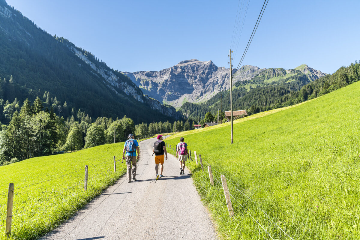
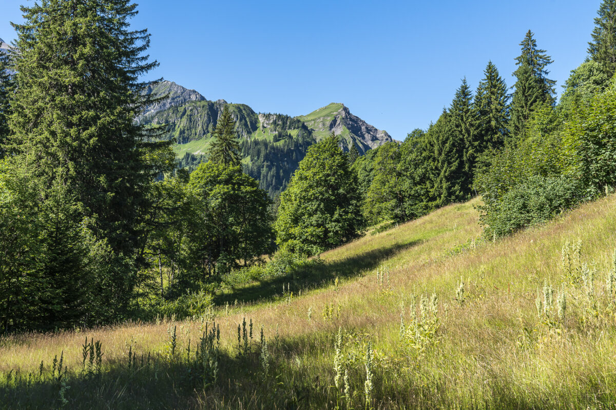
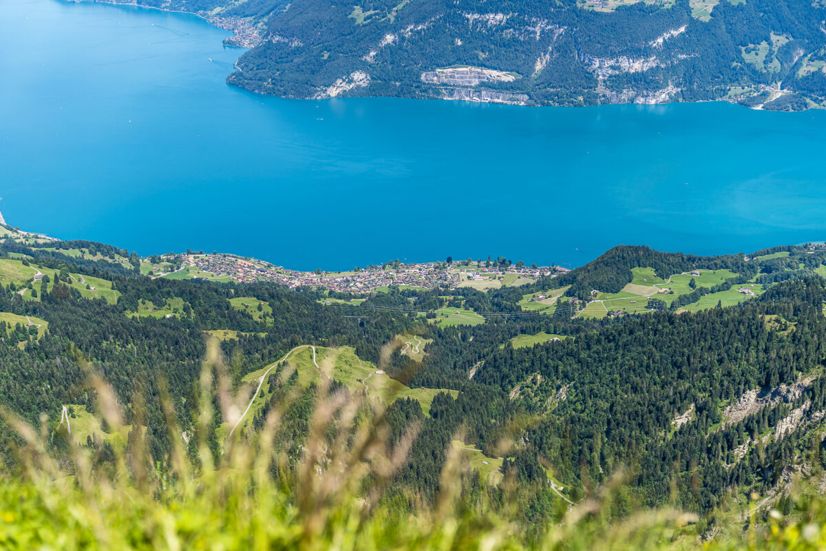
We follow the hiking trail over loosely planted wet meadows further uphill and are grateful for the many shady sections of the path that the first 3 kilometers have in store. Shortly before Mittelberg, however, this natural sun protection is finished. On the other hand, we now have a magnificent panoramic view towards Lake Brienz with the striking Augstmatthorn in the background.

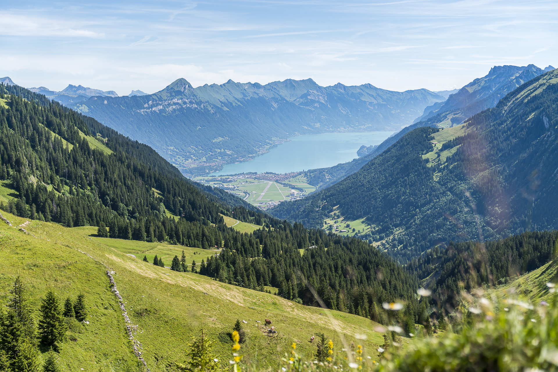
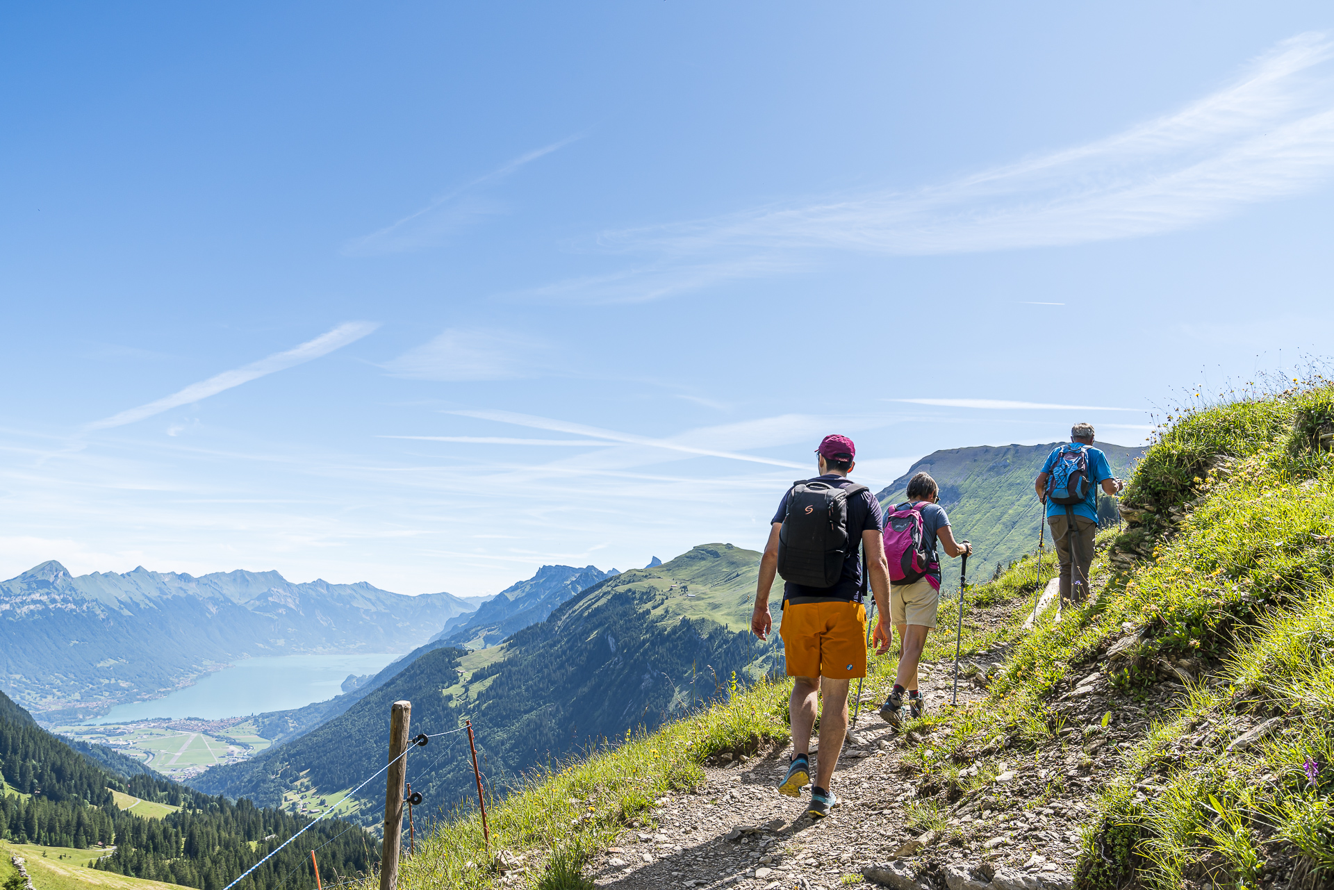
Alpine ascent to the Morgenberghorn
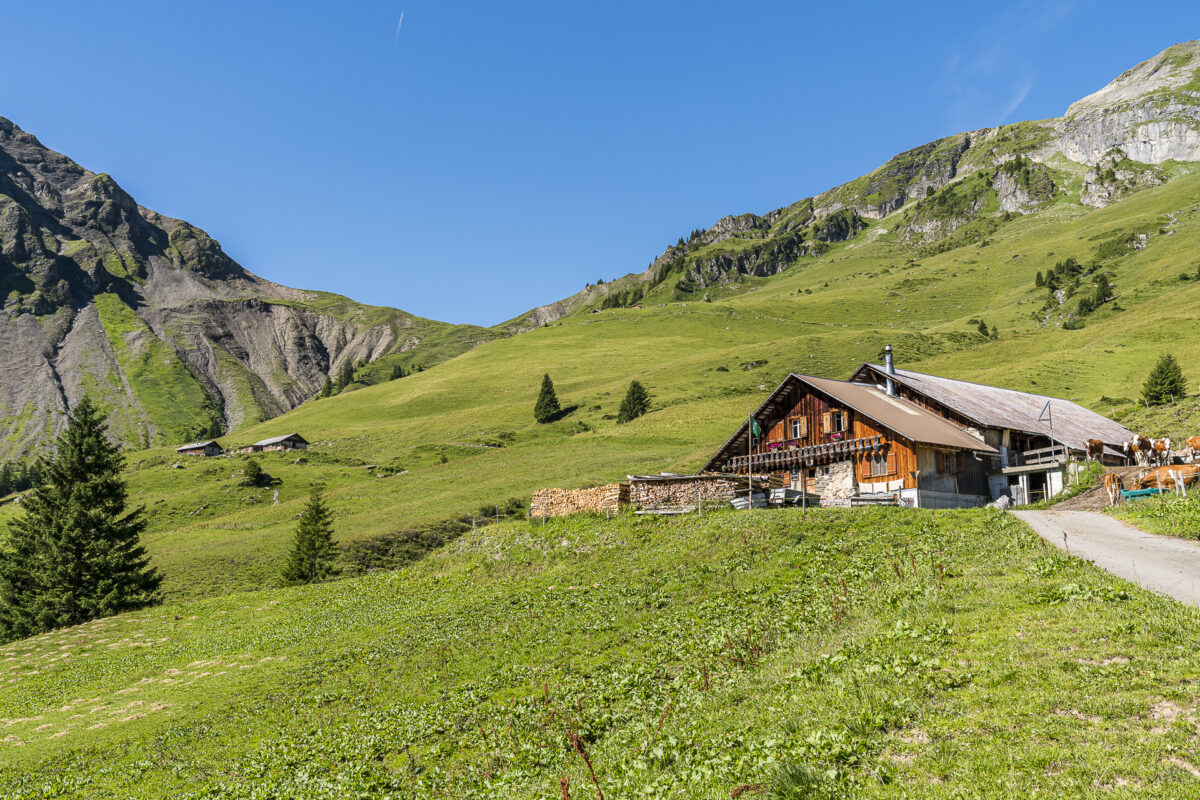
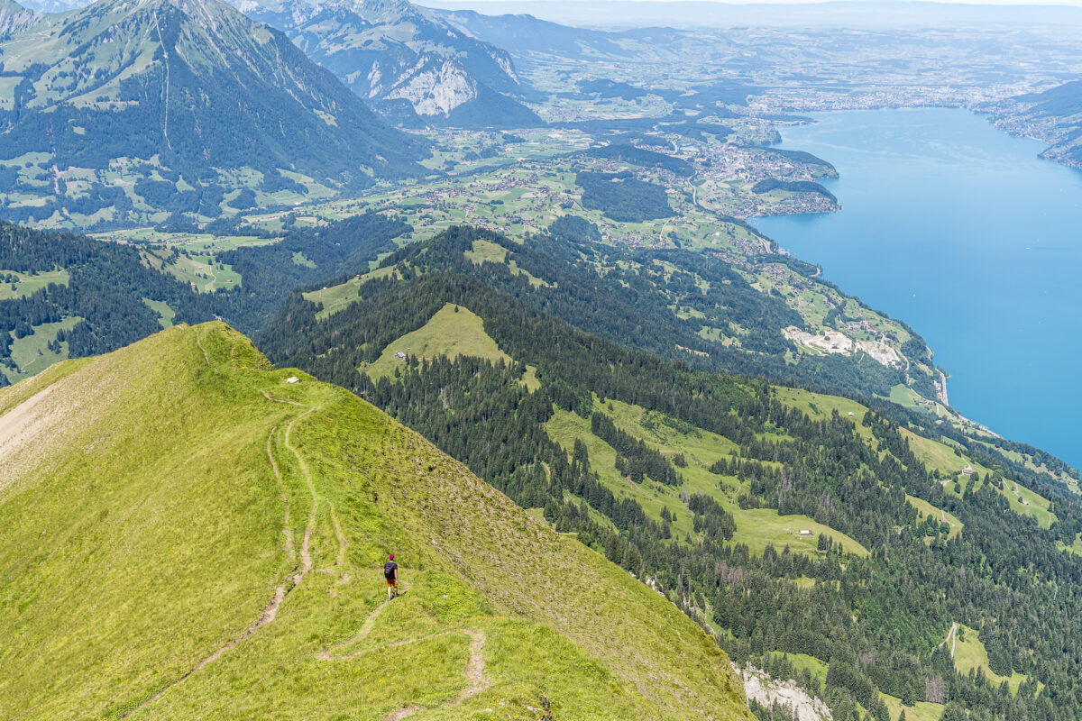
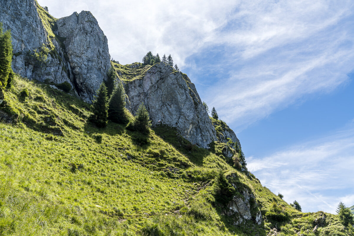
At the height of the Renggli Pass, our hiking group splits up. From here, some of them follow the Via Berna directly downhill into the Suldtal. And we face another 380 meters of altitude to the summit of the Morgenberghorn. From here to the summit, the trail is signposted as a blue-white-blue marked mountain hiking trail. In a nutshell, this classification, in addition to the fact that it is a relatively exposed ridge hiking trail, is due in particular to two “key points”. In the first part there is a shorter “scramble” and shortly before the summit you have to traverse along a rugged rock flank.
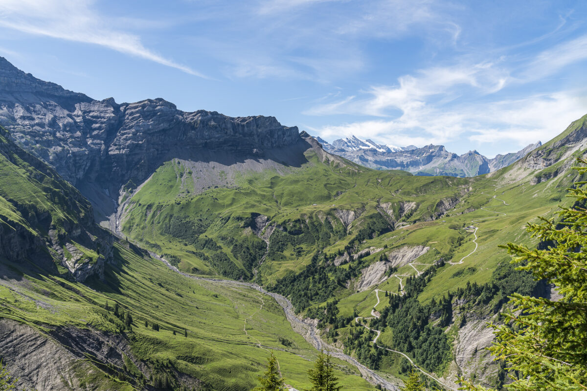
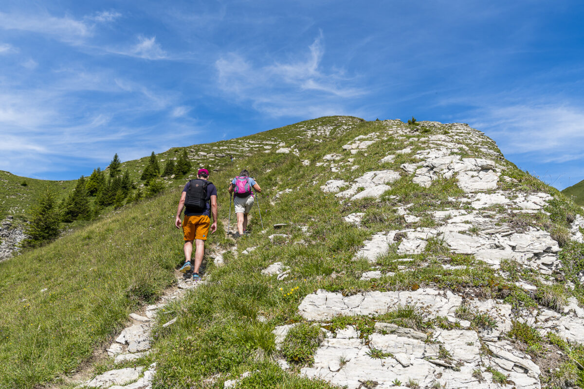

The summit happiness is followed by the “descent cramp”
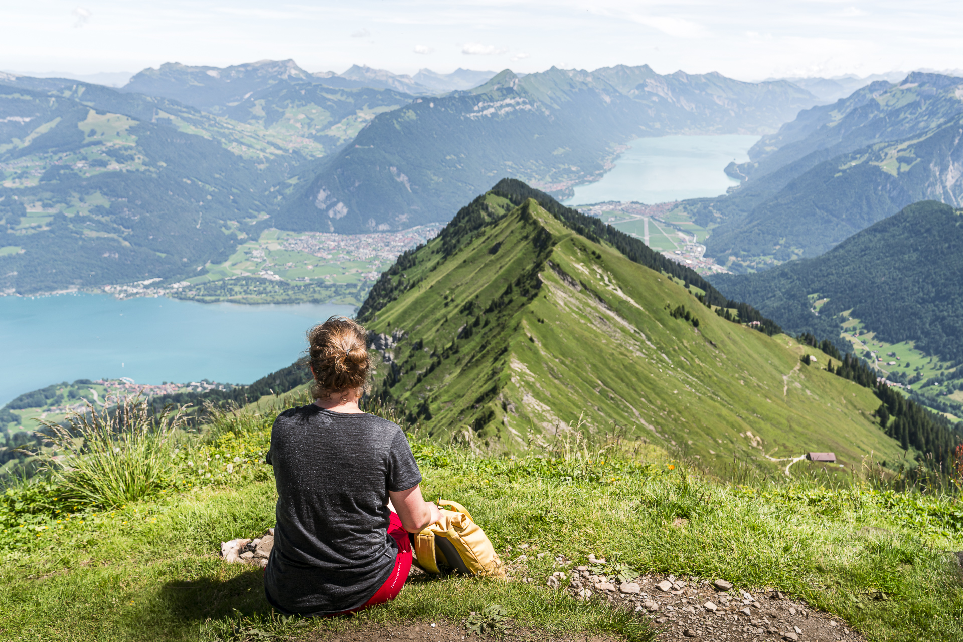
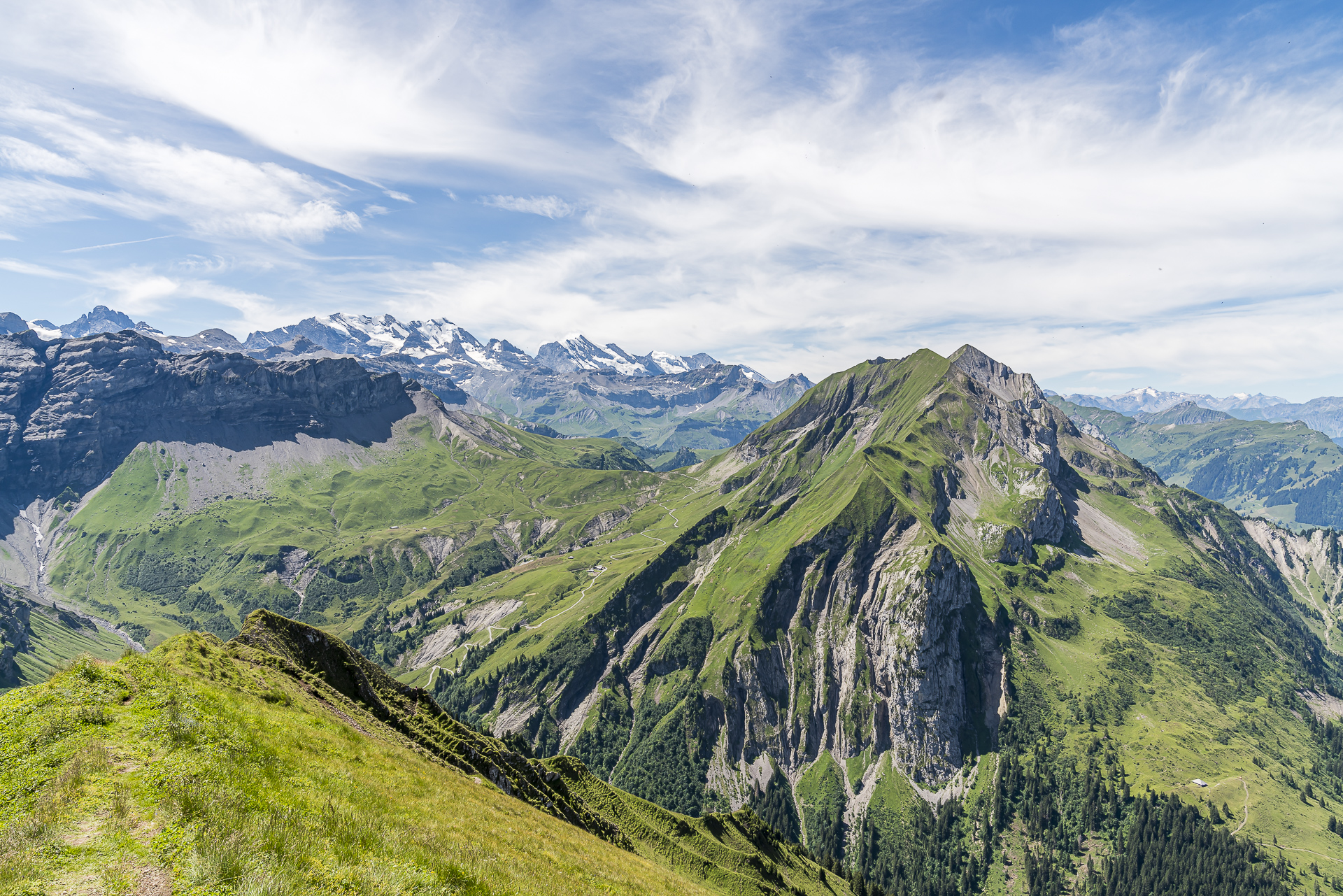
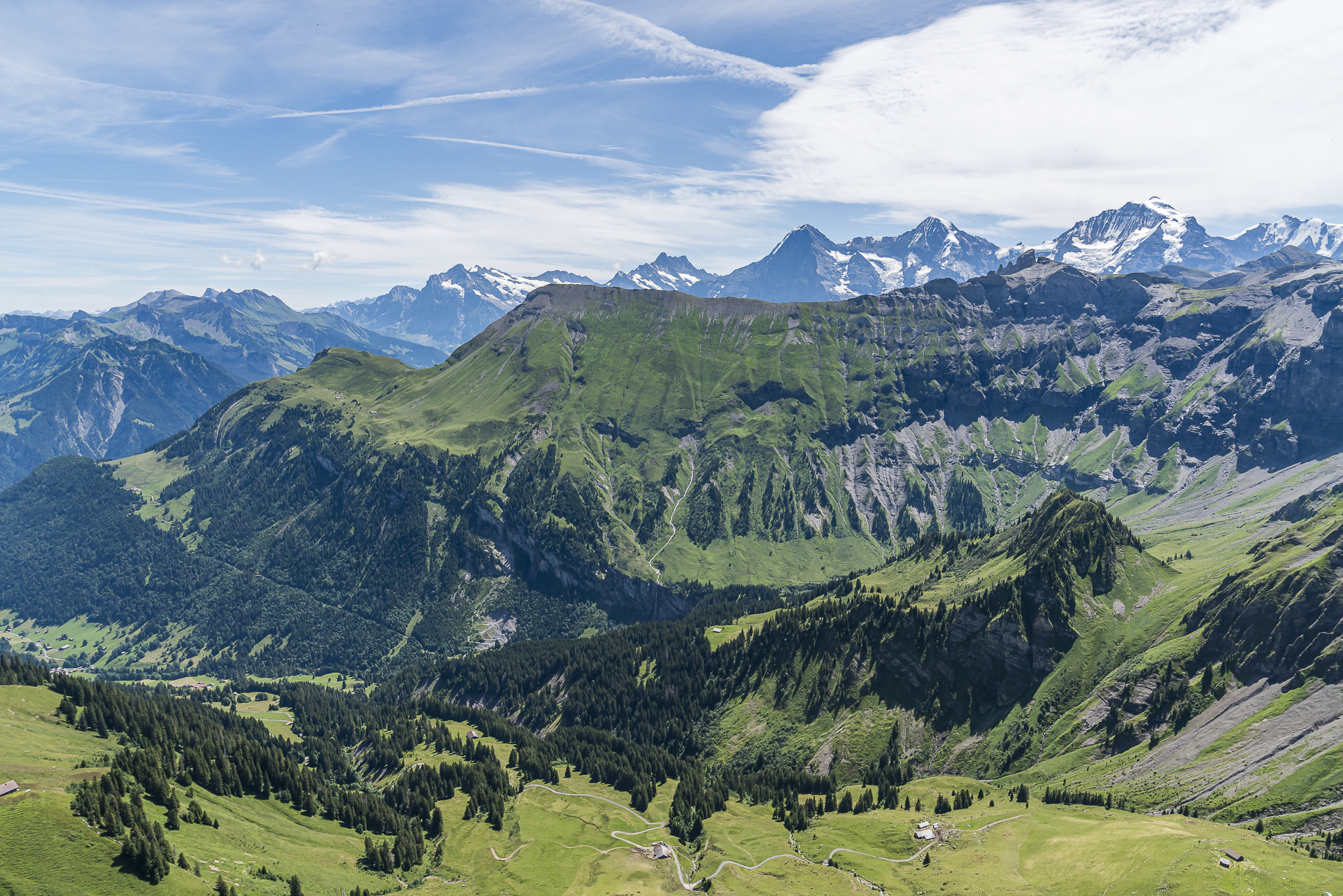
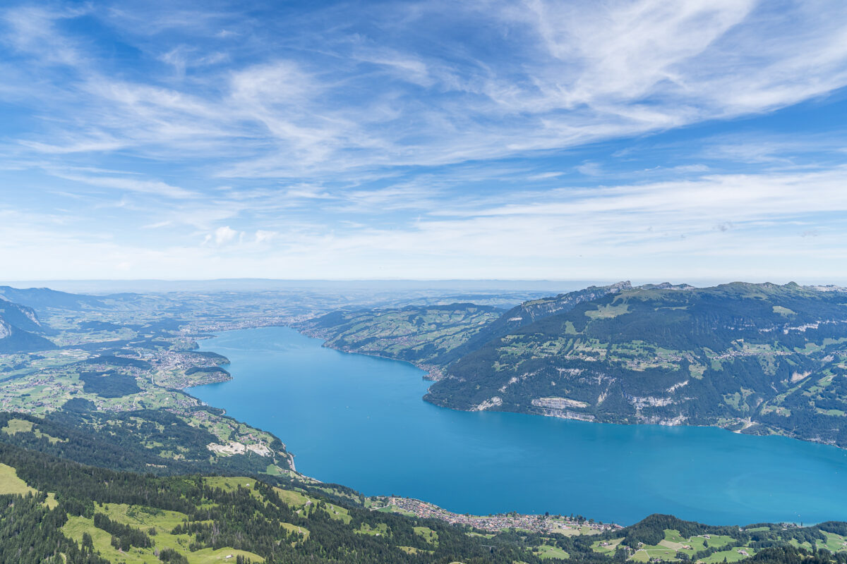
The reward for the effort is a magnificent panoramic view of the Eiger, Mönch and Jungfrau far into the Swiss Plateau. With the knowledge that we still have a steep descent via Alp Brunni to Suld ahead of us, we don’t stay too long on the summit.
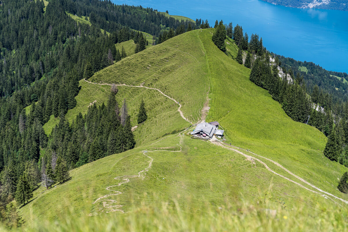
In particular, the first 600 metres of altitude down to Alp Brunni are tough. The path is sometimes quite “slippery” (poles are recommended). There are also two rocky couloirs to cross. Therefore, the classification of the level of difficulty (blue-white-blue versus red-white-red) is not quite clear to me in a direct cross-comparison.
Last kilometres through the Suldtal nature reserve
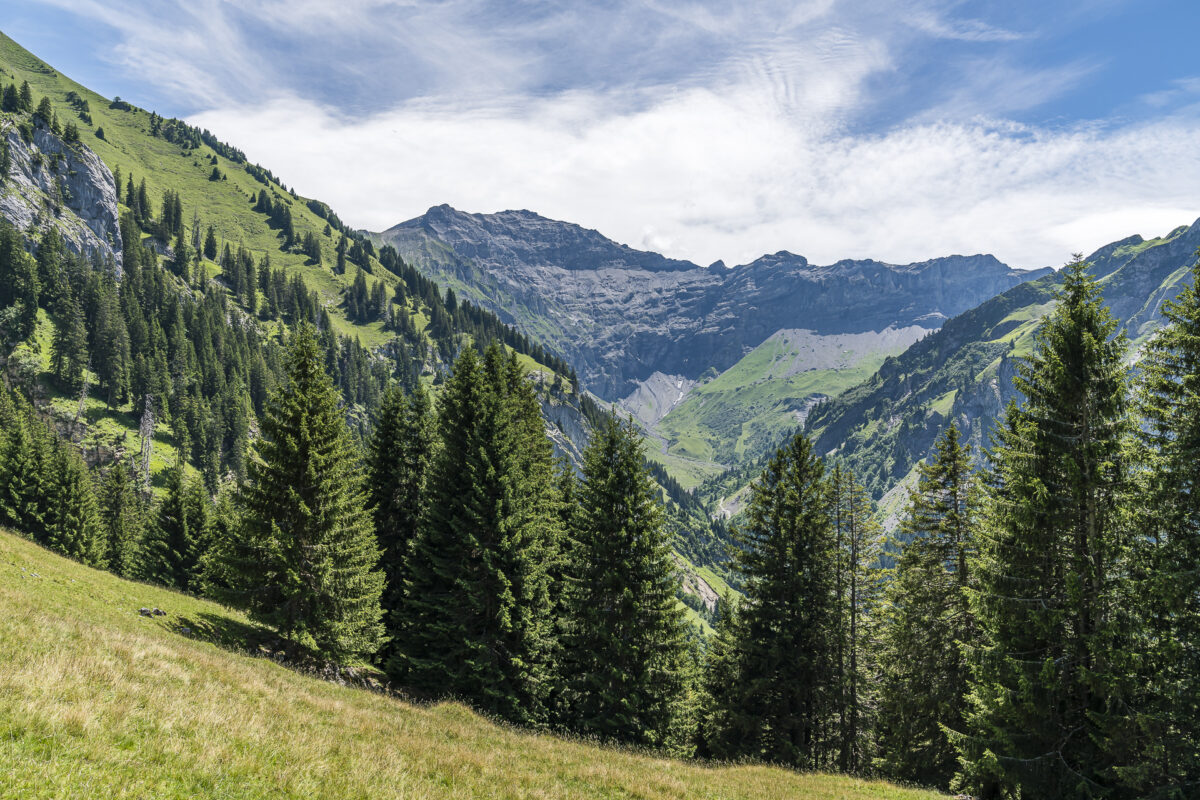
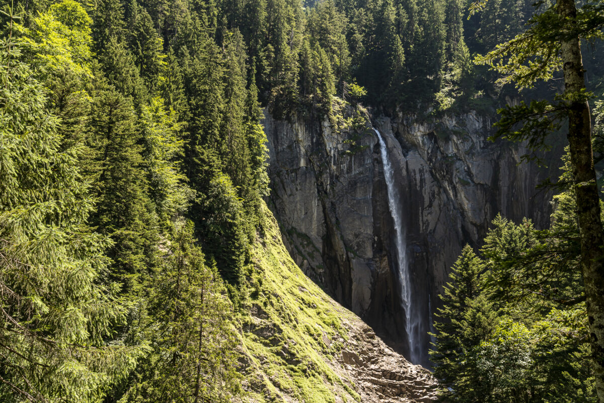
On Alp Brunni we treat ourselves to a breather. Then we follow the signpost in the direction of Lauene/Schlieri. There would be a somewhat more direct descent to Suld – but this is much steeper and does not lead past the Pochtenfall. The remaining 3.75 kilometres also have one or two steep hairpin bends in store. Apart from that, however, you can expect practically deserted hiking trails, beautiful views of the rear Suldtal and, to crown it all, the cool spray of the Pochtenfall. All in all, a challenging and fantastic mountain tour!


Practical tips for your hike to the Morgenberghorn
On the following map you can see the route of our hike from Saxeten via Morgenberghorn to Suld. The route measures 11.1 kilometres and includes an ascent of a good 1,245 metres in altitude. The ascent to the Renggli Pass is signposted as a red-white-red marked mountain hiking trail (difficulty T2/T3). From the Renggli Pass, a blue-white-blue marked alpine mountain hiking trail of difficulty T4 leads to the summit of the Morgenberghorn. The descent is then again signposted as a red-white-red marked mountain path.
You can reach the starting point of the hike in Saxeten from Wilderswil train station with a post bus with limited space (minibus). Note that there are only a few courses and the schedule varies depending on the day of the week. At the Pochtenfall restaurant in Suld, there is a post bus connection via Aeschiried to Spiez. However, since there is no hourly connection here either, you should either coordinate the hiking time with the timetable (it worked quite well for us with the targeted 14:35 connection), or sweeten the waiting time with a stop at the Pochtenfall restaurant.
Since the post bus almost drove away from us despite our punctual arrival time, a note at this point: The post buses turn around at the Pochtenfall restaurant and the chauffeurs park the vehicle in a somewhat hidden place opposite the restaurant. If you wait for the post bus at the stop sign/timetable notice about 100 meters away and don’t buckle up that it’s already there and drive off directly from there, you’ll look a bit stupid out of the wash (tested for you!).
Key data of the summit tour Saxeten – Renggli Pass – Morgenberghorn – Suld
| Starting point | Saxeten, schoolhouse (1,100 m above sea level) |
| Reachability | Accessible by public transport |
| Length | 11.1 kilometers |
| Elevation gain | ↗ 1,244 m 1,275 m ↘ |
| Duration | ca. 5:00 a.m. – 5.30 a.m. |
| Destination | Aeschiried, Suld Pochtenfall (1,080 m above sea level) |
| Catering | Alp Brunni and Restaurant Pochtenfall in the Suldtal |


Leave a Reply