



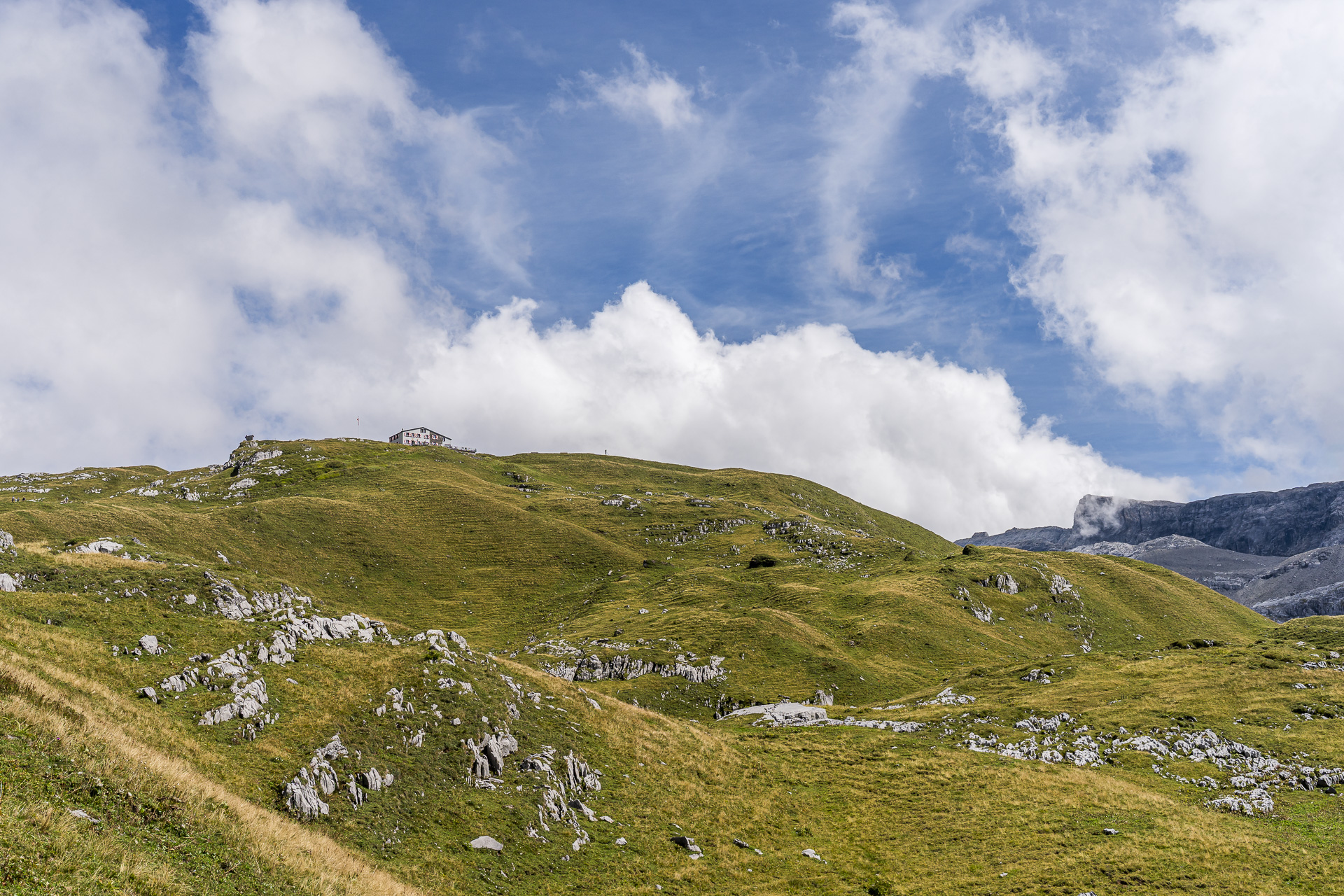
Over the Rot Grätli: Hike from Bannalp to the Rugghubelhütte
This scenic mountain hike leads from the Bannalp via the Bannalper Schonegg and the Rot Grätli to the Rugghubelhütte high above Engelberg. Along the way you can expect varied mountain paths, impressive views of the Central Swiss mountain world and surprisingly barren landscapes. And by the time you stop in at the Rugghubelhütte, it becomes clear that enjoyment is not neglected on this tour.
Starting the hike at the Bannalp
The high plateau of the Bannalp lies in a side valley of the Engelberg valley and can be reached from Oberrickenbach by two small cable cars. It is a popular hiking destination: on the one hand the idyllic Bannalpsee attracts visitors, on the other, with the Walenpfad one of Switzerland’s most beautiful high-altitude trails from the Bannalp to the Brunnihütte.
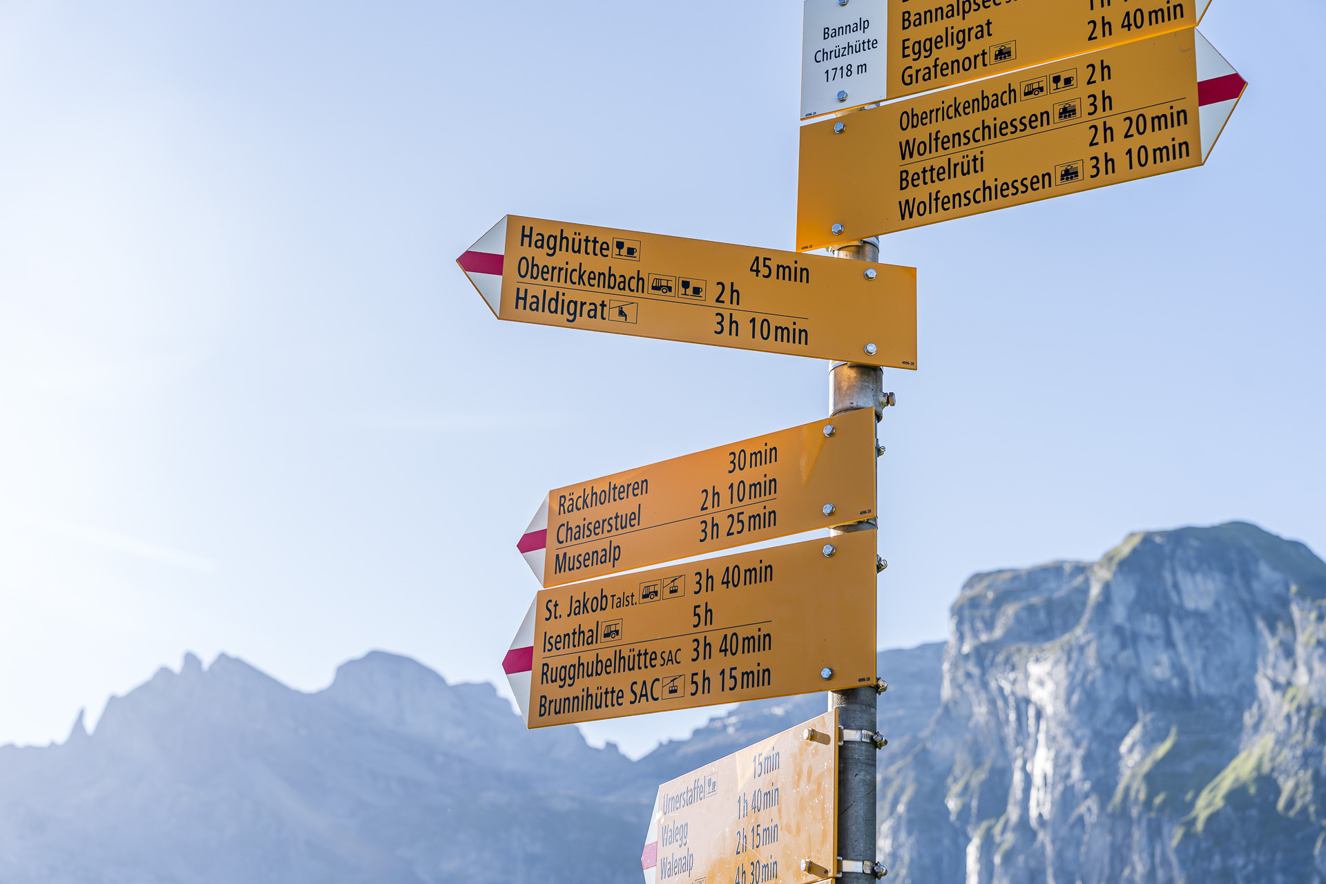
Because the Fell–Chrüzhütte aerial cableway holds only 15 people and doesn’t start operating until 08:30, we were a bit unsure beforehand whether the Bannalp would really be the ideal starting point for our hike on a beautiful Saturday morning at the end of August. But our concerns prove unfounded. On the Postauto from Wolfenschiessen to Oberrickenbach we are not alone, but we actually manage to get straight onto the first gondola. It takes us up to the Chrüzhütte, where our hike begins. At this point there can be no doubt about which way we should go: the signpost clearly and unmistakably points to our intermediate destination, the Rugghubelhütte.
Ascent from the Bannalp to the Bannalper Schonegg
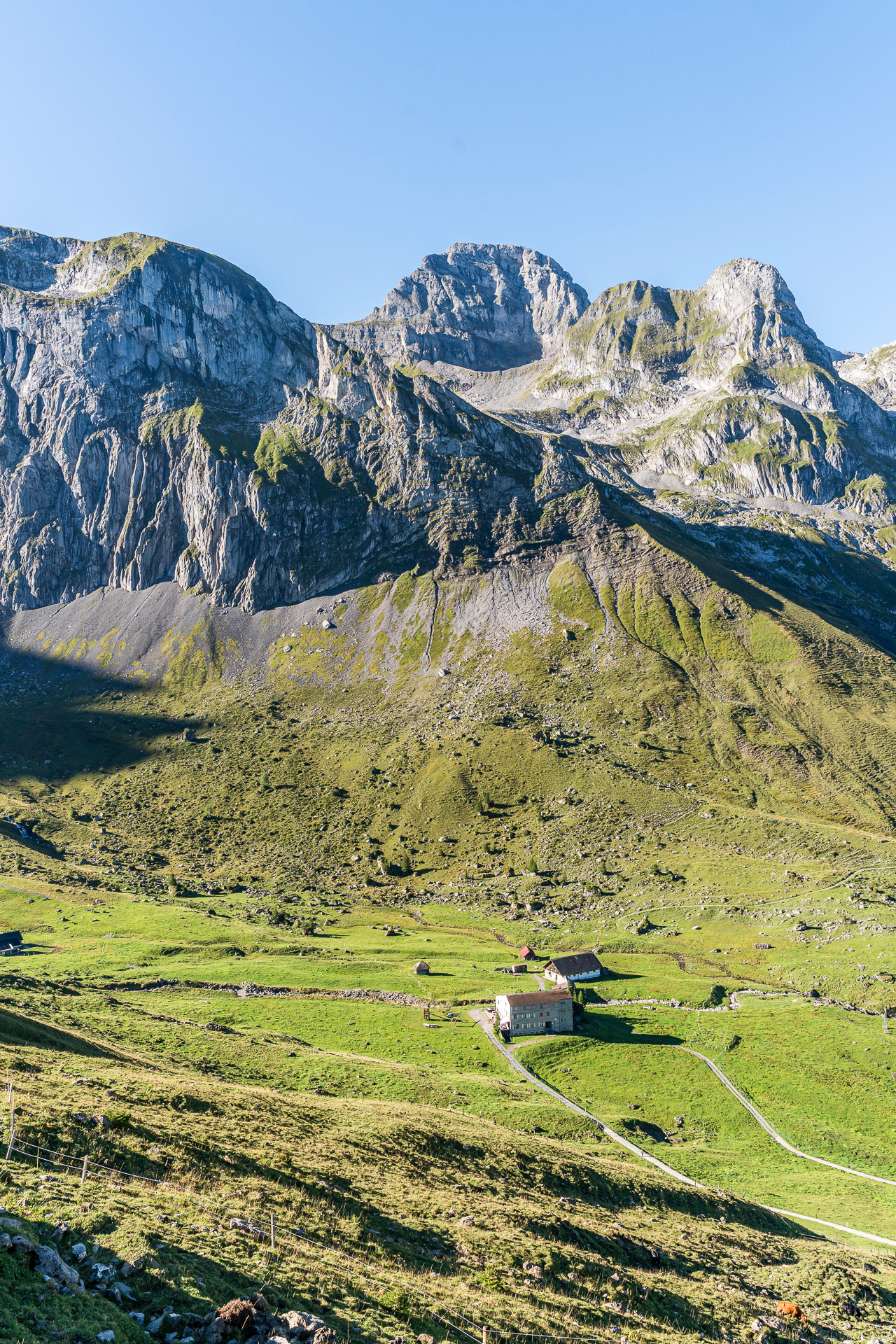
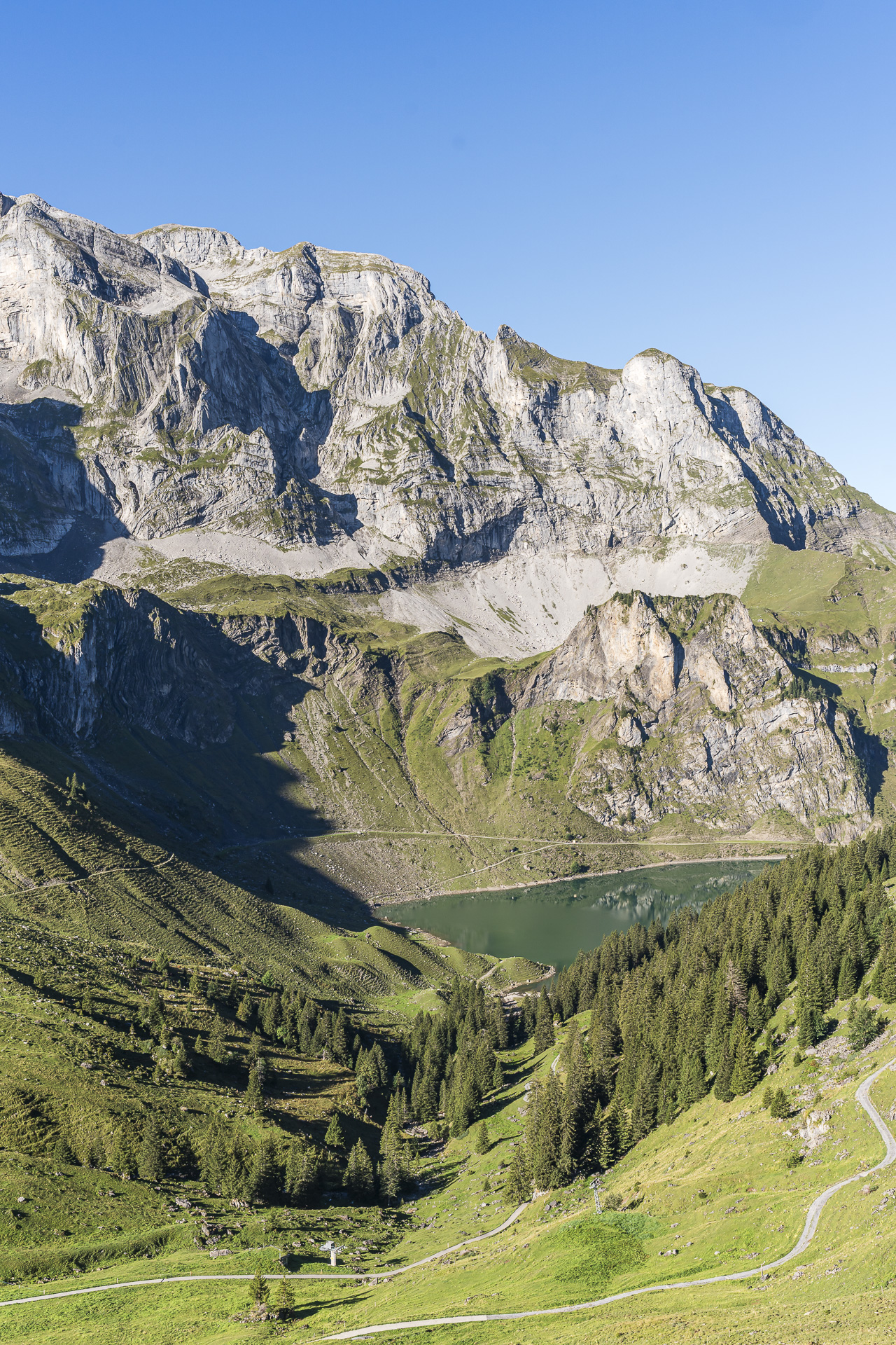
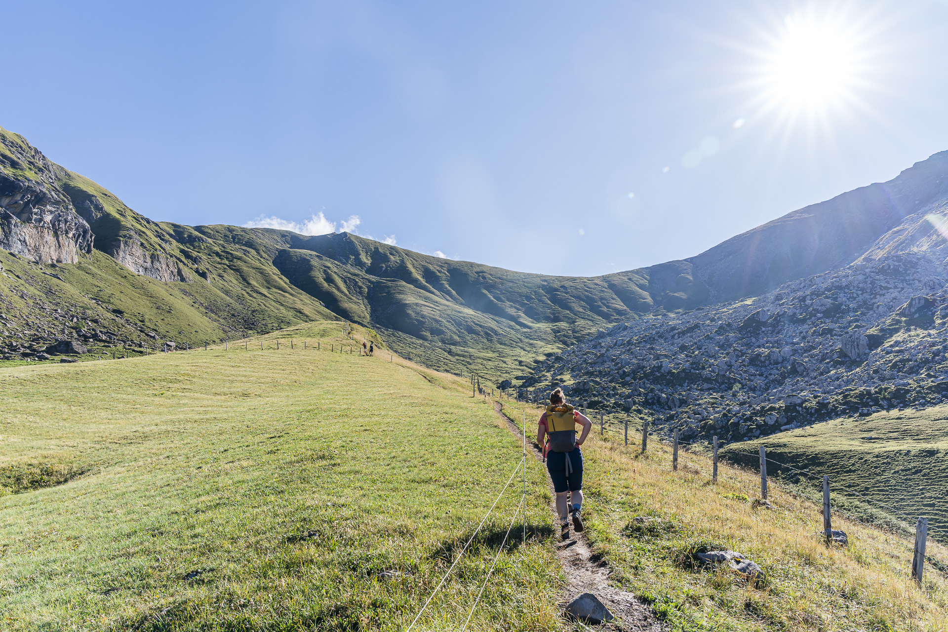
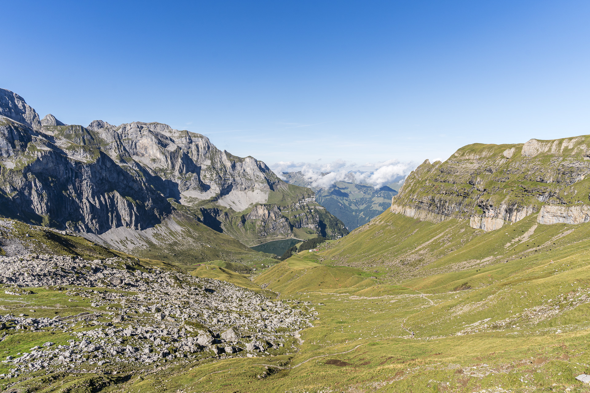
First we face an approximately 1.5-hour climb across the extensive alpine pastures of the Bannalp up to the Bannalper Schonegg, which is about 500 meters higher. We follow an old packhorse trail that connects the Nidwalden municipality of Oberrickenbach with the Uri municipality of Isenthal. Soon beautiful views open up over the high plateau and the Bannalpsee.
Only the hiking trail between Räckholteren and Büelenboden is somewhat arduous. It is heavily eroded and softened by the heavy rain from the previous day, which makes me feel like I’m taking three steps forward and two back. Without poles that’s quite exhausting. Higher up the path becomes rockier and, fortunately, grippier again.
Across stony Uri terrain to the Rot Grätli
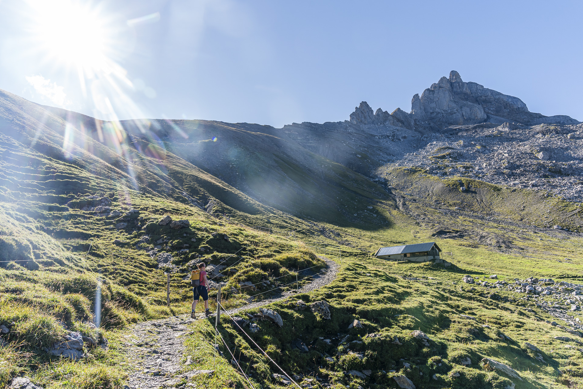
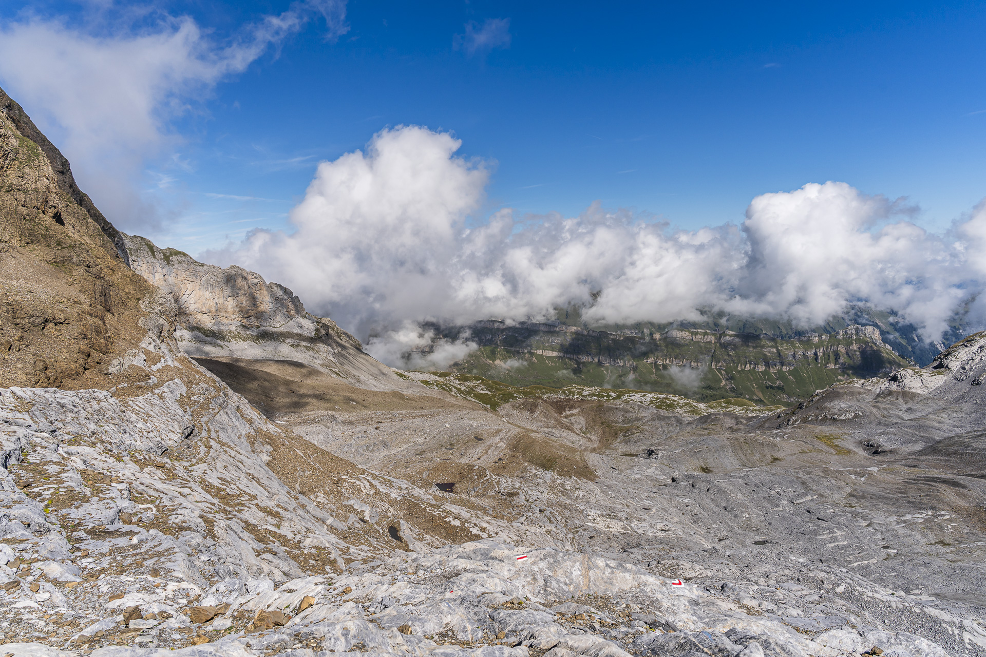
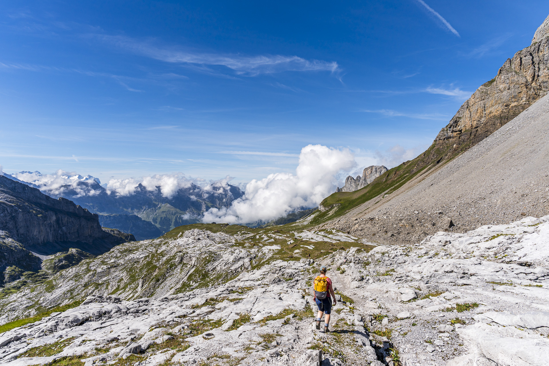
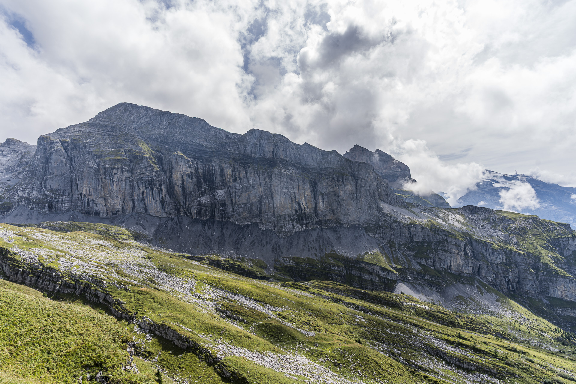
At the top of the Bannalper Schonegg there’s first a short breather, which we also use to admire the surrounding mountain panorama. After that comes the most exciting and varied section of this hike. We follow a narrow path that first leads us around the «Wilden Böllen», and then we reach an increasingly barren high plateau where the trail winds around larger and smaller rock blocks.
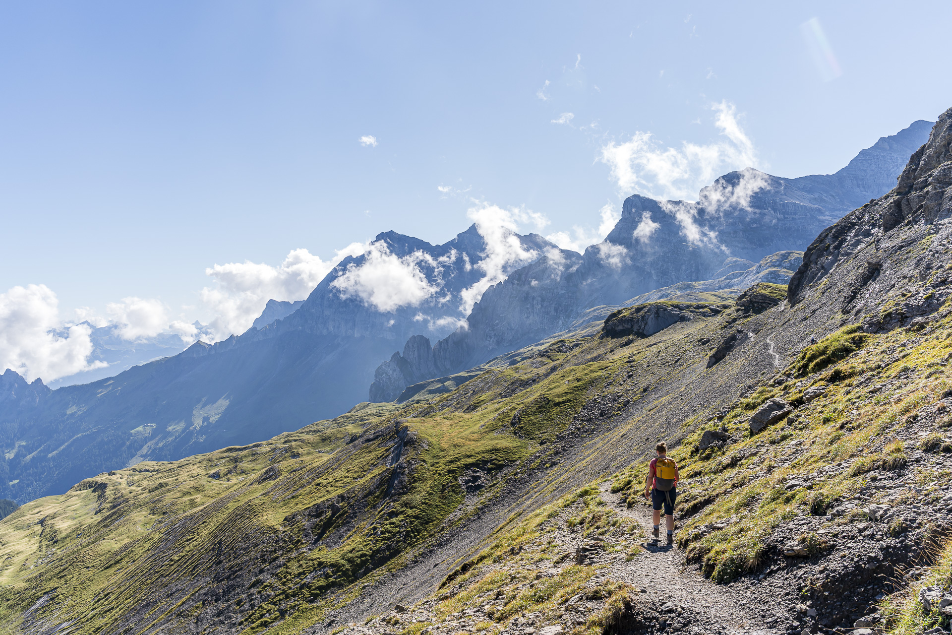
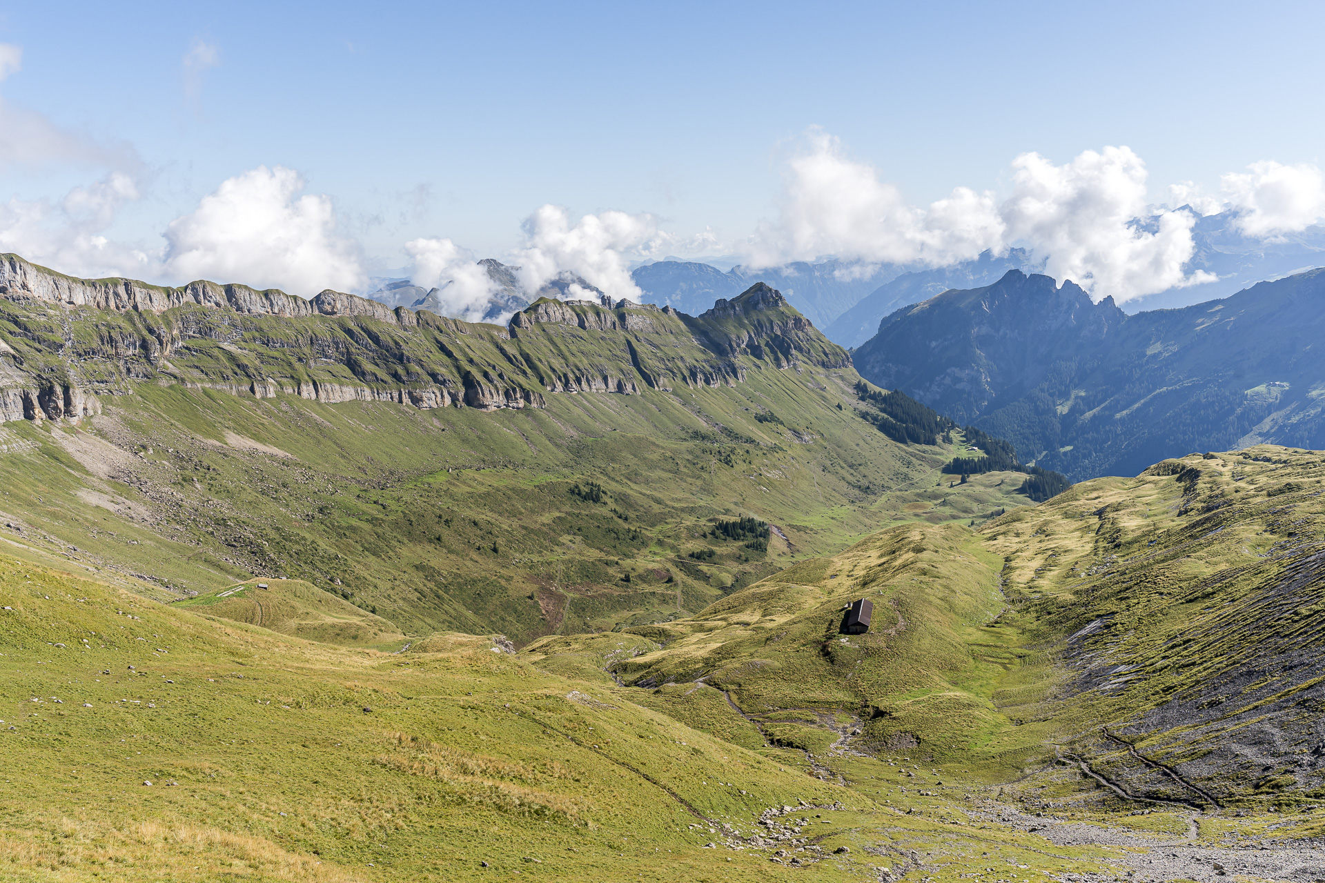
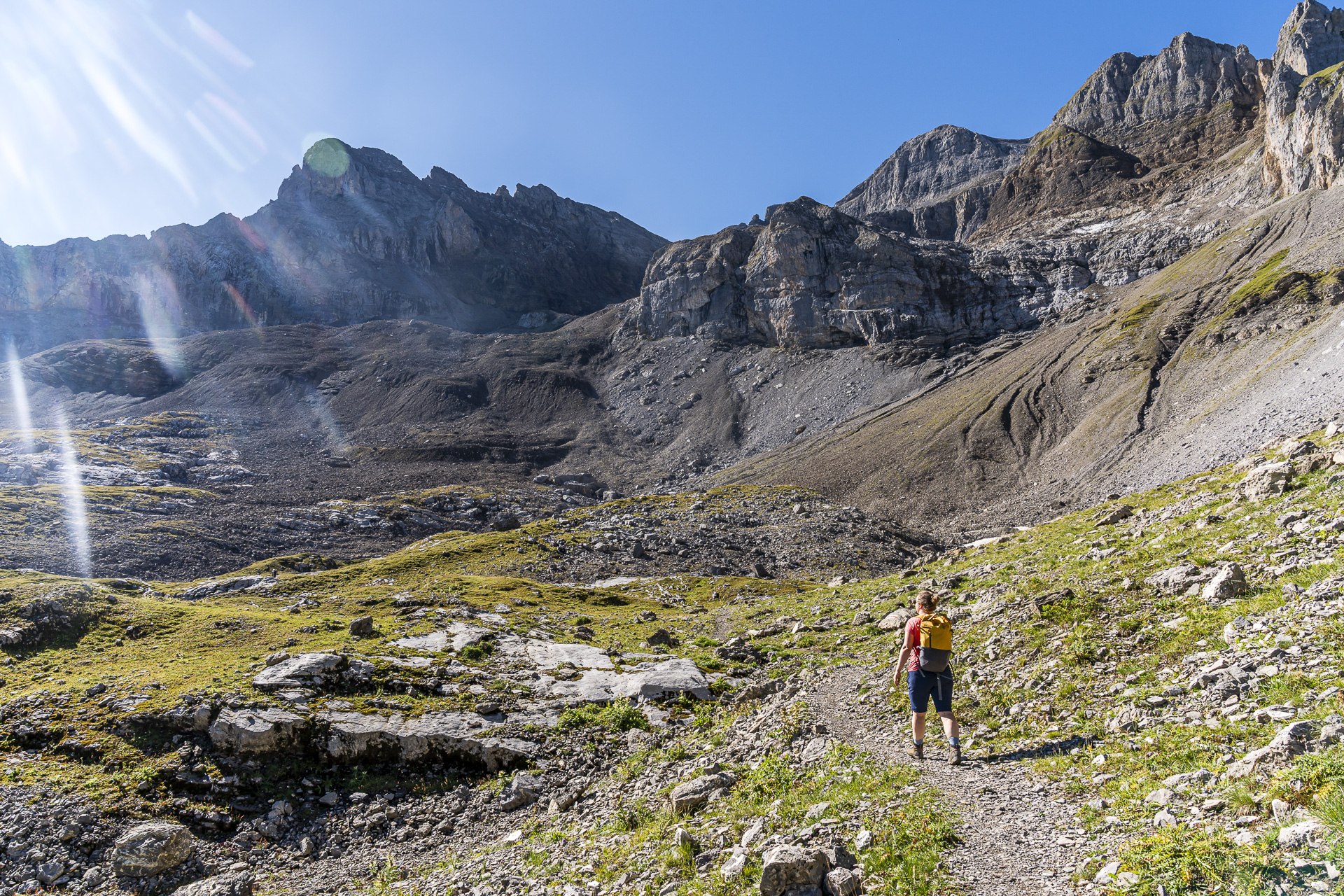
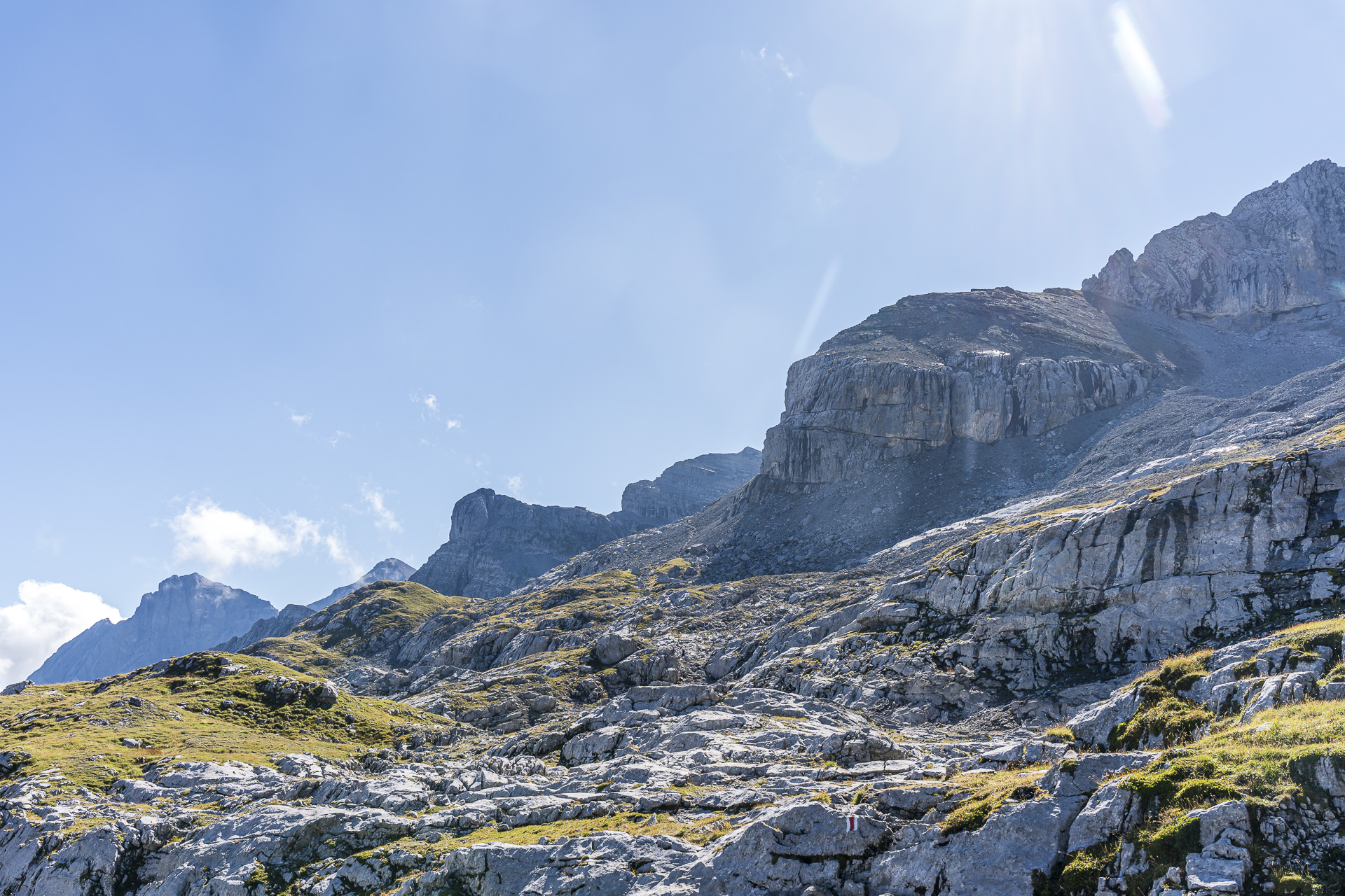
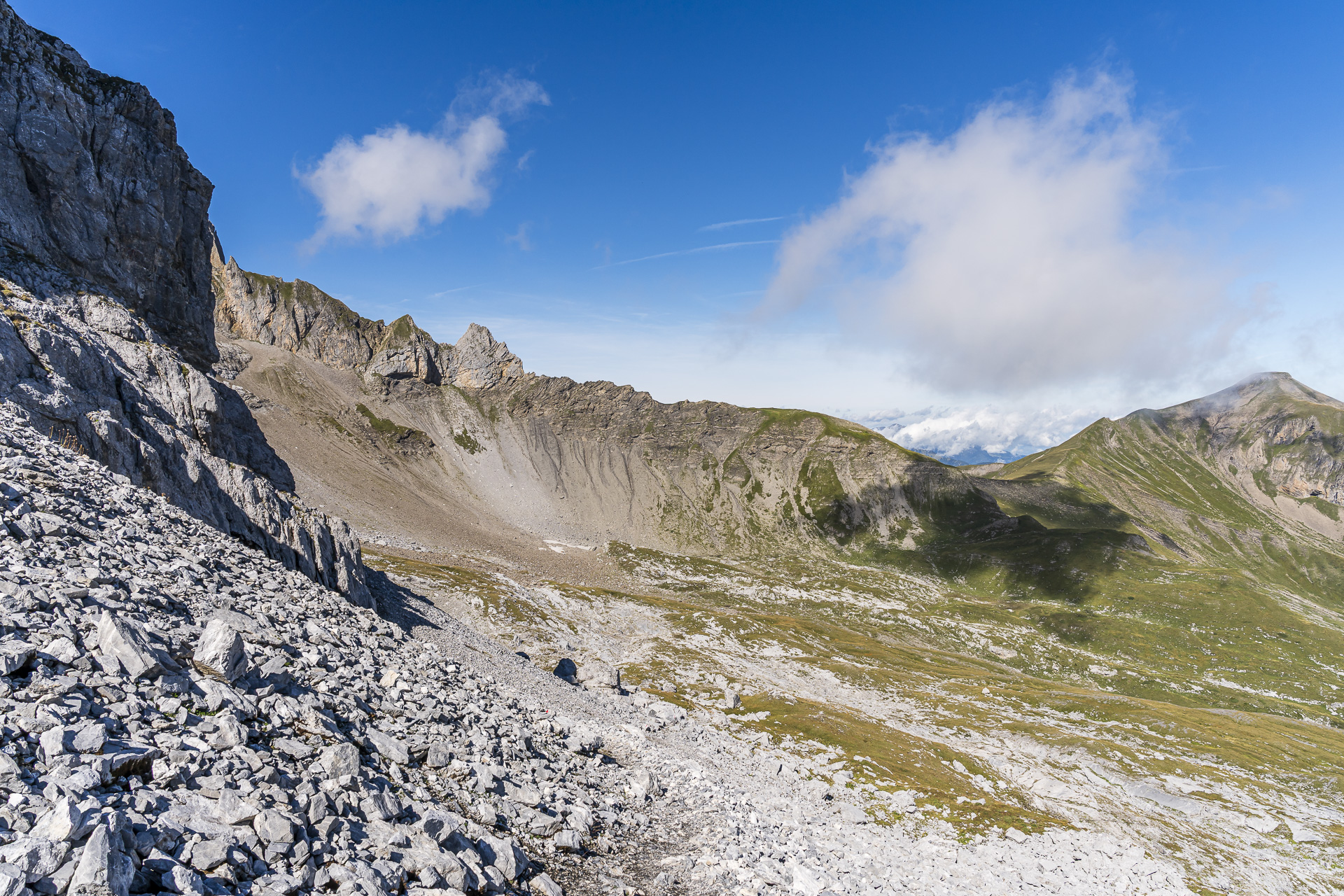
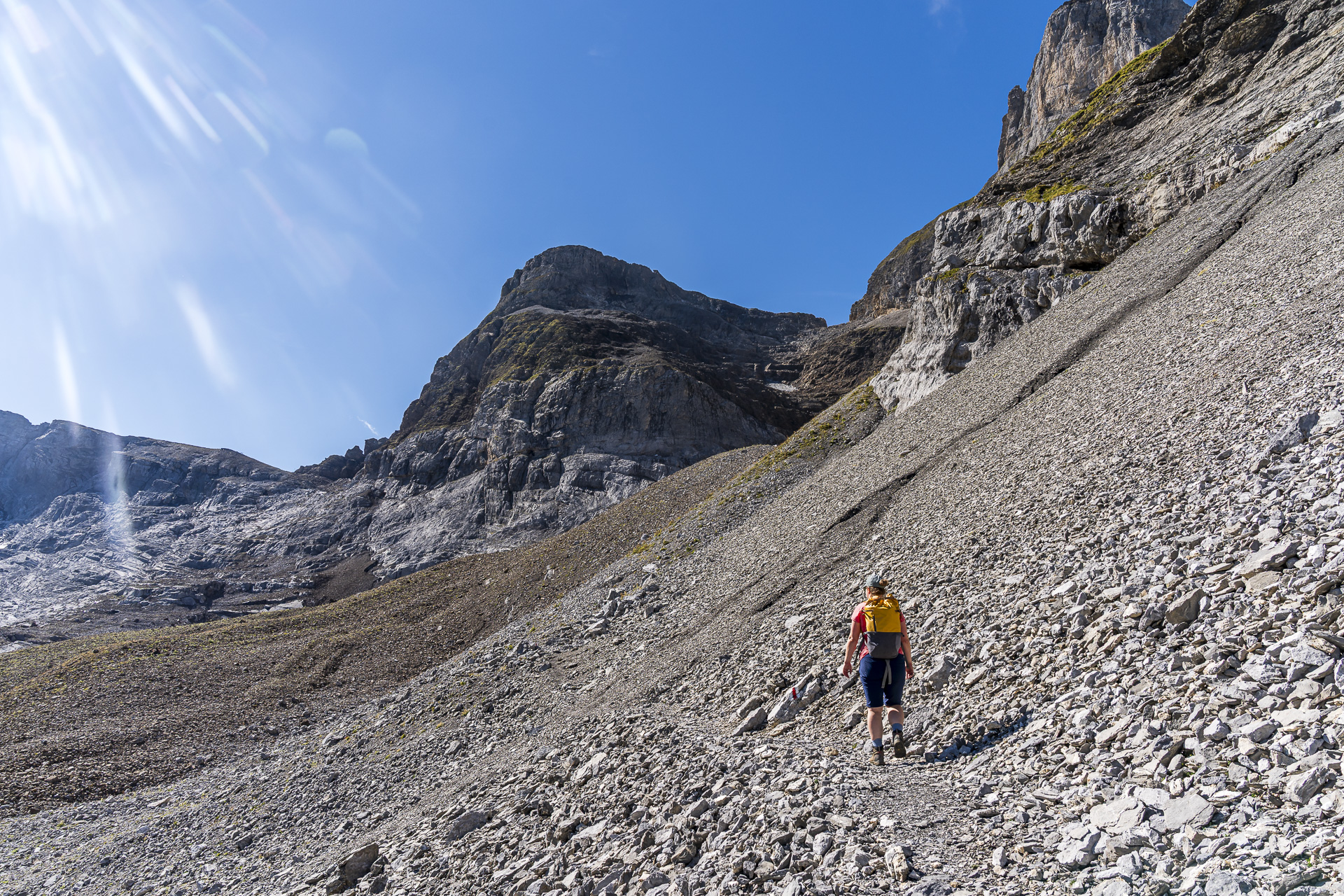
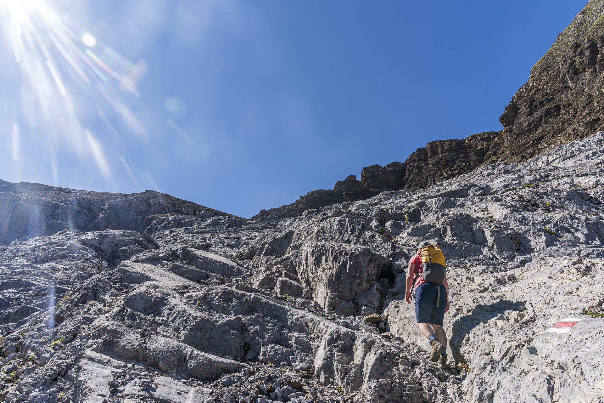
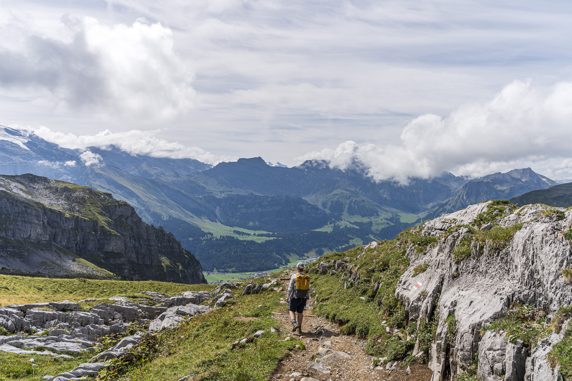
After about half an hour we then also see the valley head between the Hasenstock and the Engelberger Rotstock. Here the terrain already seems almost high-alpine. Judging from the markings, this section appears to have once been marked white-blue-white. Today it is signposted as a white-red-white mountain hiking trail and does not feature any technically particularly difficult sections or steep parts. Here and there you do, however, have to somewhat “make your own way” between the markings, which — with the exception of one spot — are mostly clearly visible. And at one spot a short ascent also requires using your hands.
Scenic descent from the Rot Grätli to the Rugghubelhütte
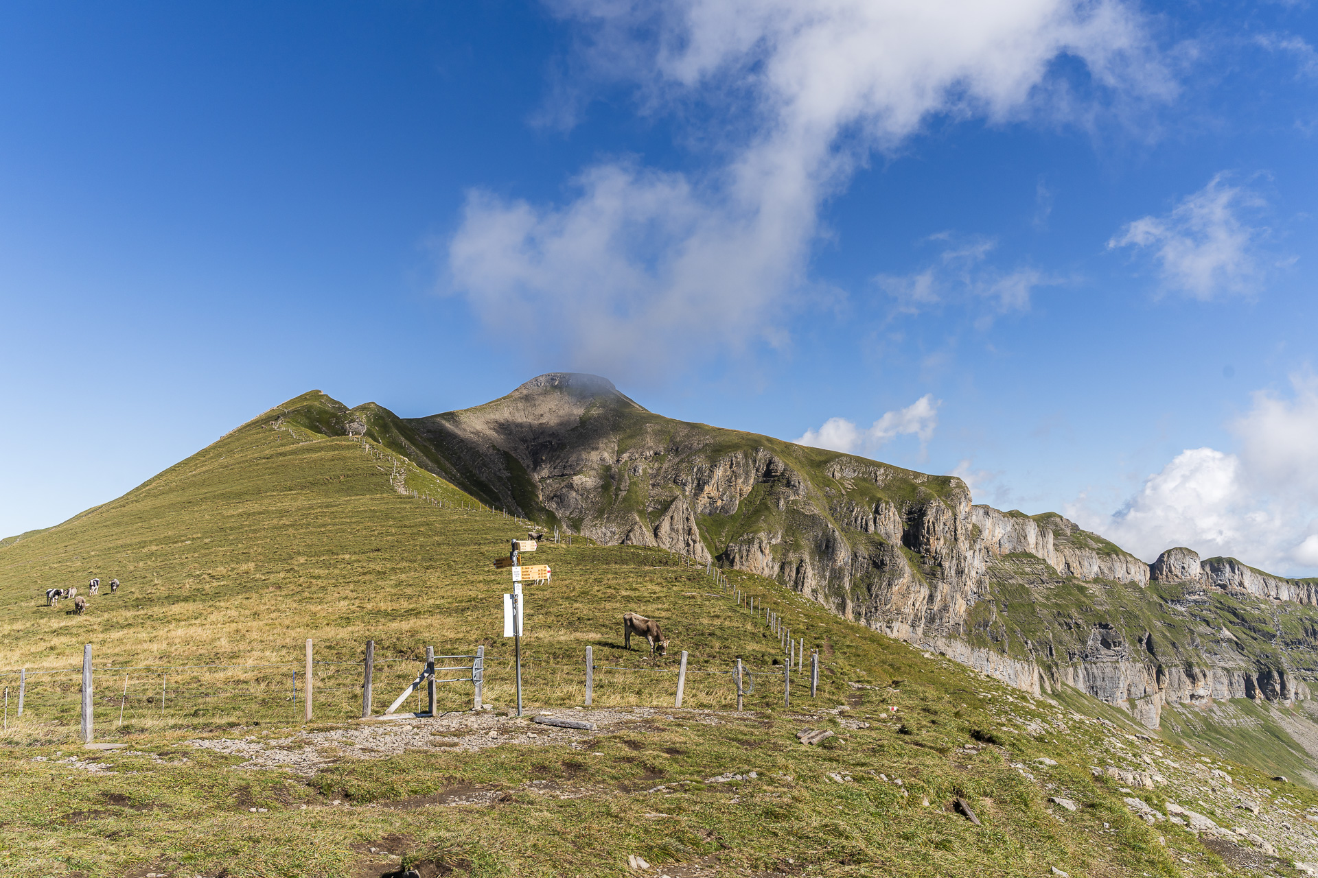
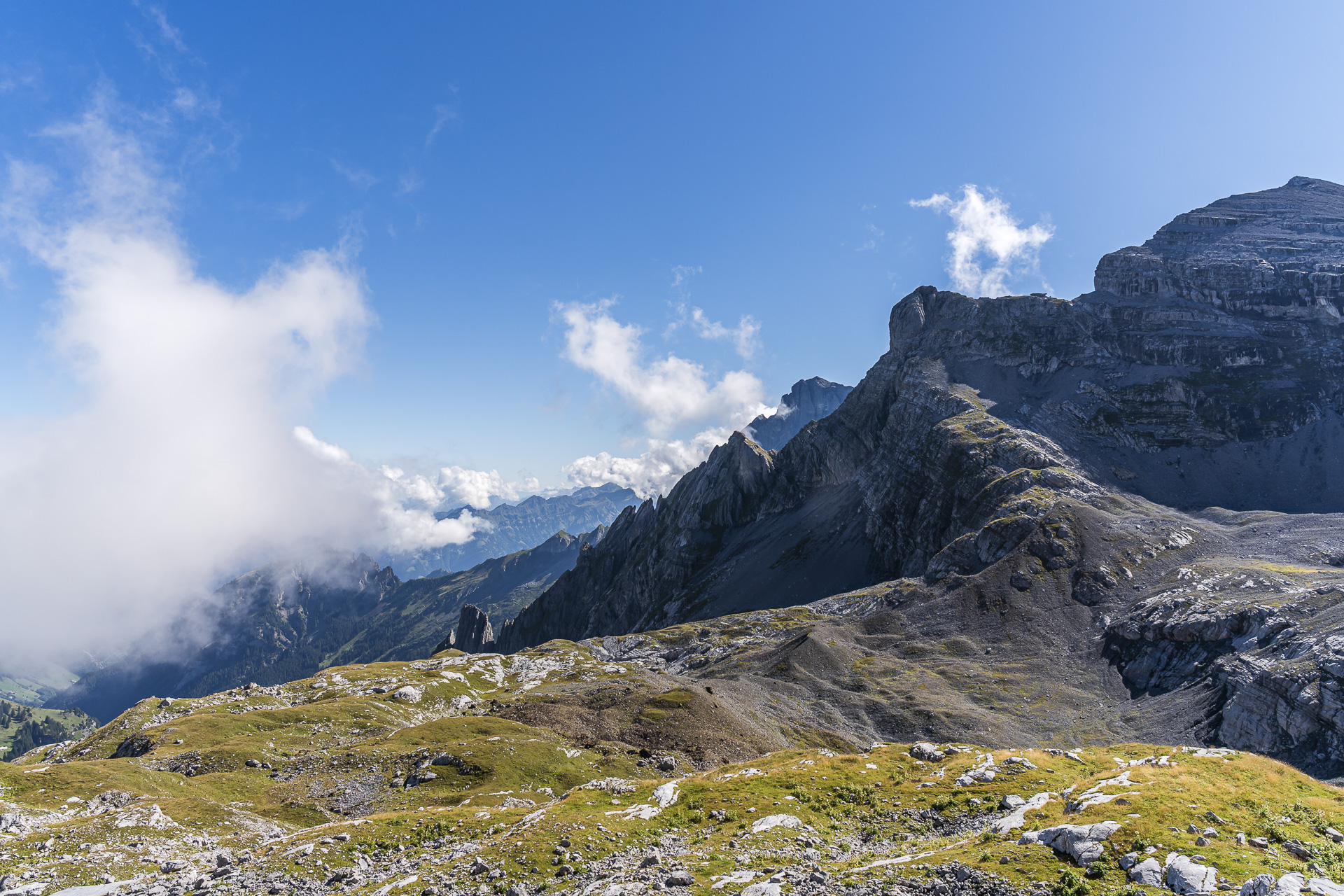
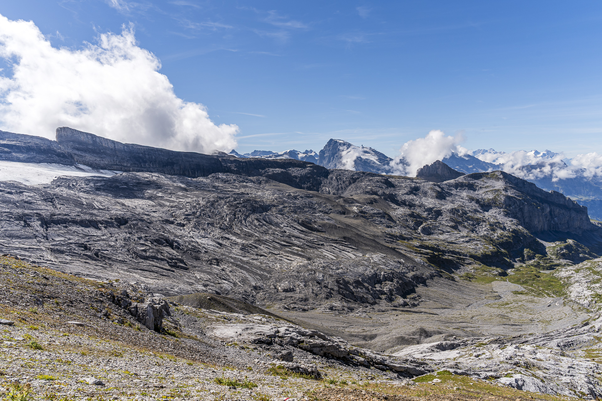
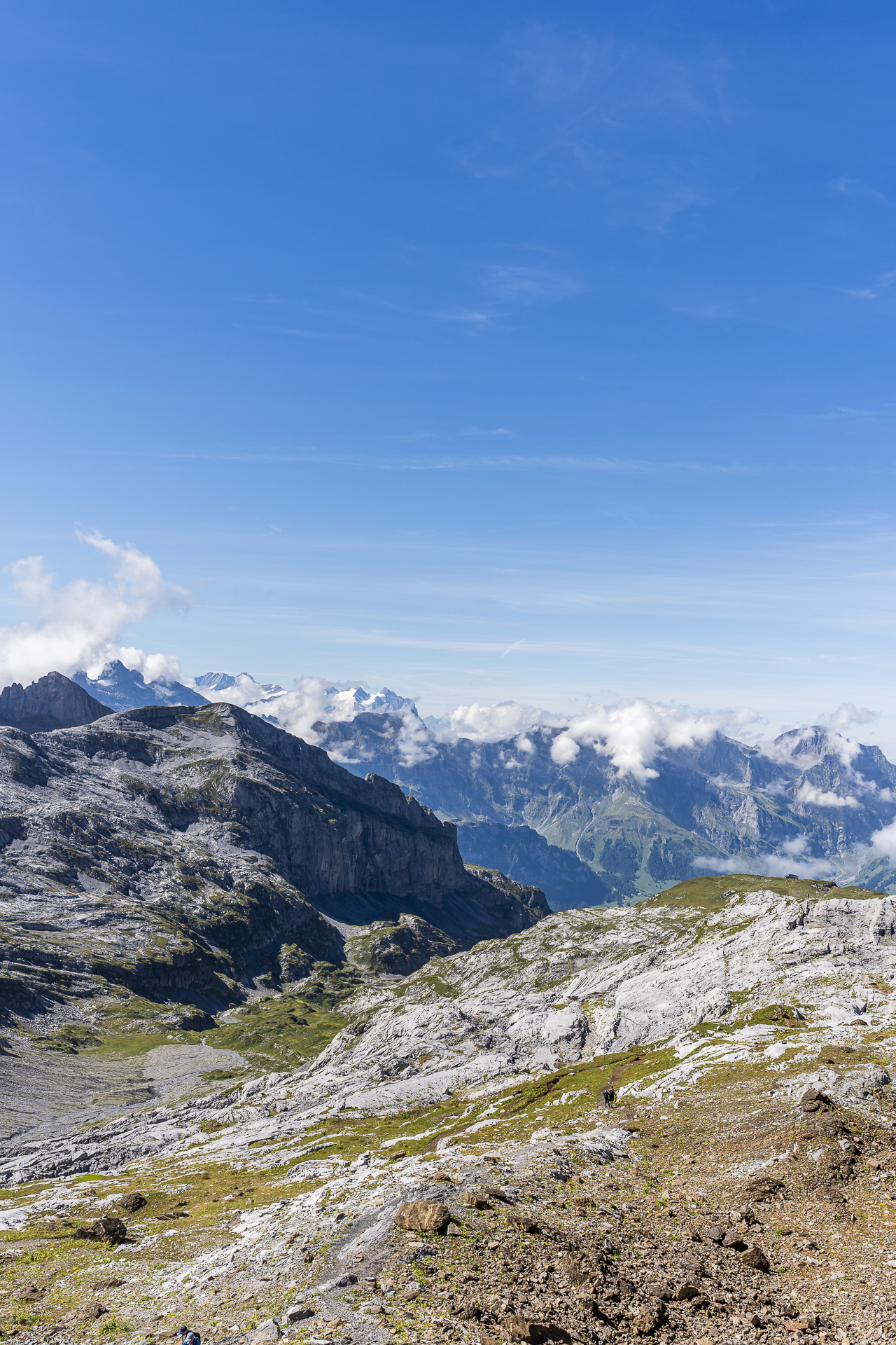
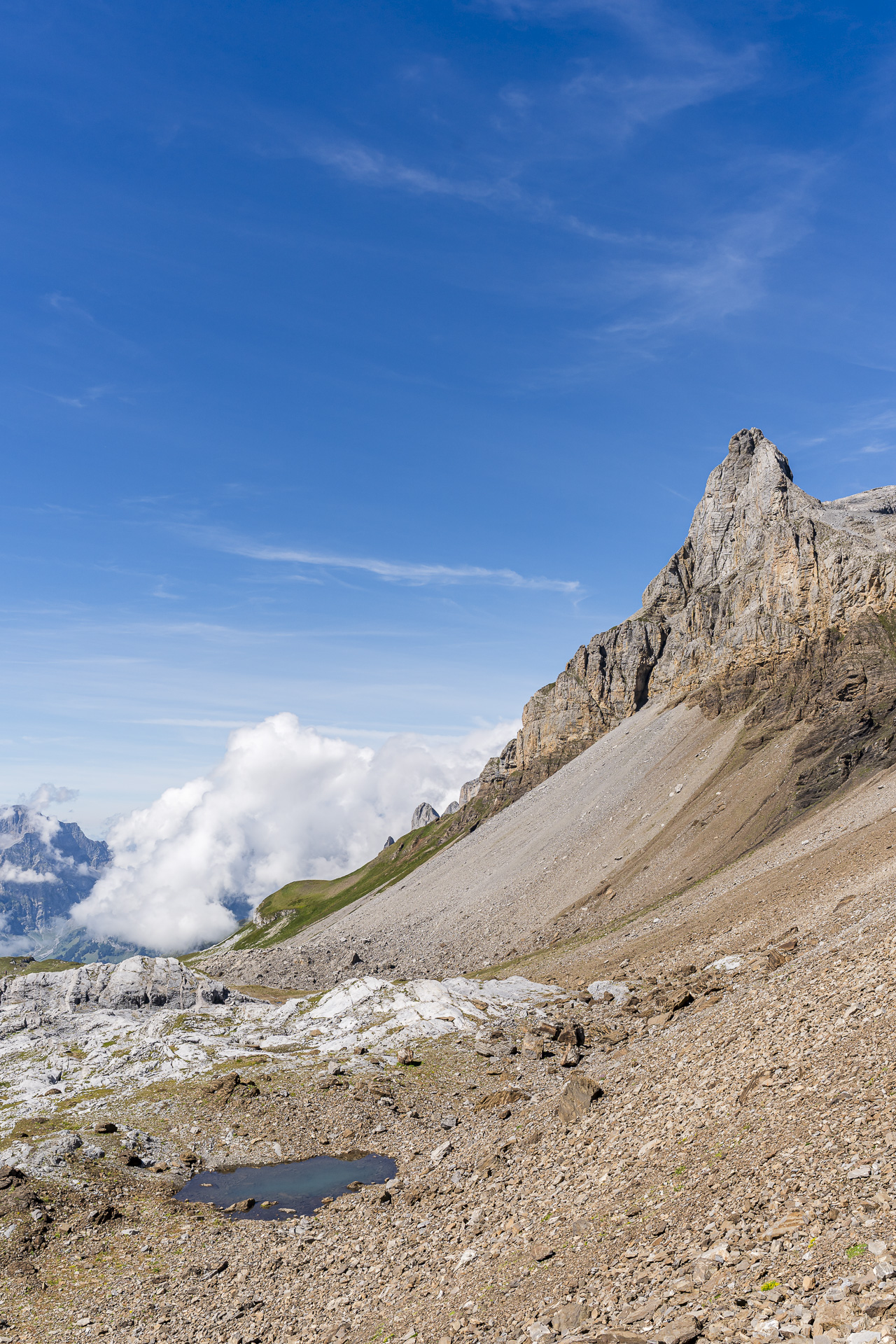
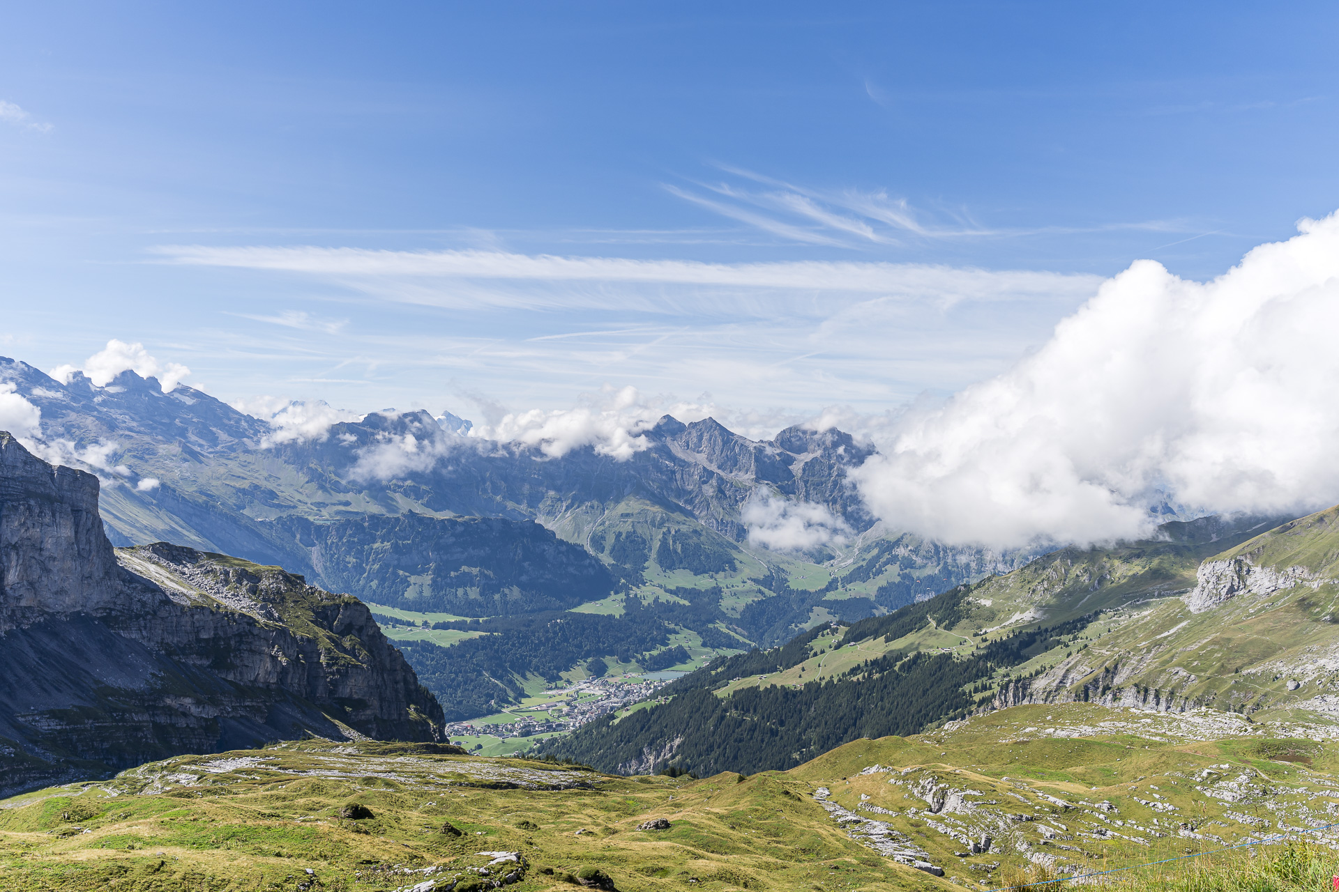
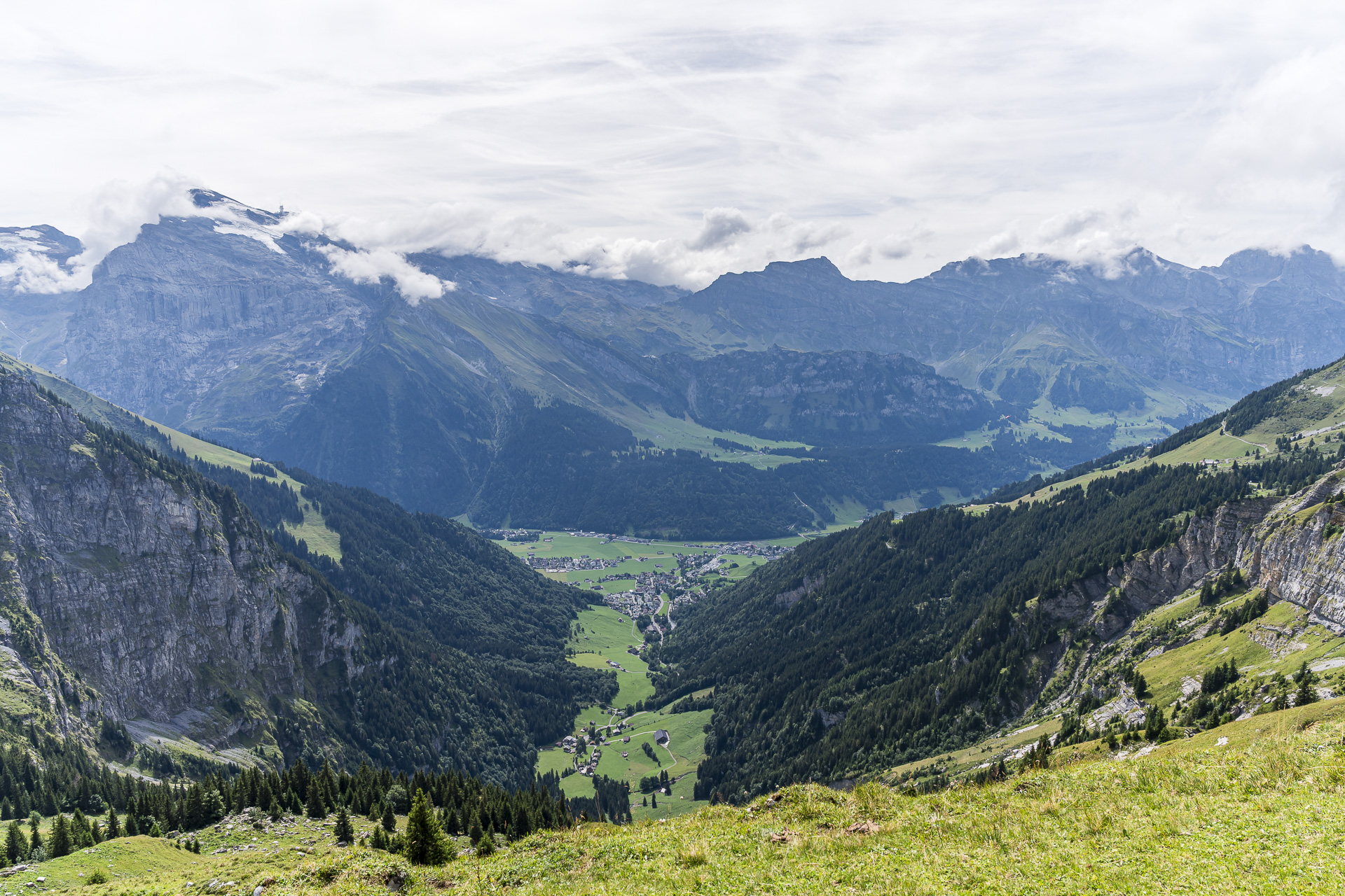
Up at Rot Grätli we are greeted by an impressive view of the Griessengletscher and the Titlis, which appears snow-covered behind the barren moraine landscape. The signpost points us in the direction of the Rugghubelhütte. It’s only just under 45 minutes to the well-deserved hut stop. And the panorama that accompanies us at every step on this section can later be enjoyed to the full from the sun terrace of the Rugghubelhütte.
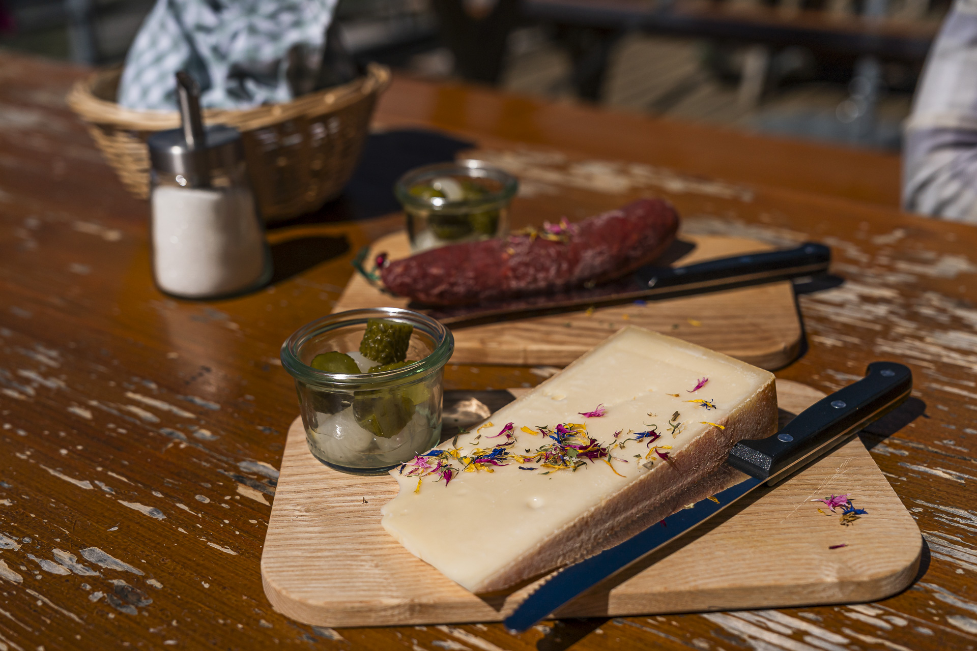
For an SAC hut, the Rugghubelhütte surprises with a fairly extensive menu and table service. We order a slice of alpine cheese from the Gerschnialp and an Engelberg dry sausage. For a sweet finish I treat myself to a slice of Black Forest cake.
From the Rugghubelhütte to Ristis
Afterwards we still have to decide whether to hike to the Brunnihütte and from there take the chairlift down to Ristis, or to hike directly to Ristis, where the mountain station of the Luftseilbahn Brunni–Engelberg is located. The two options are almost the same length. Since the aerial cableway is included in the GA, we choose the latter.
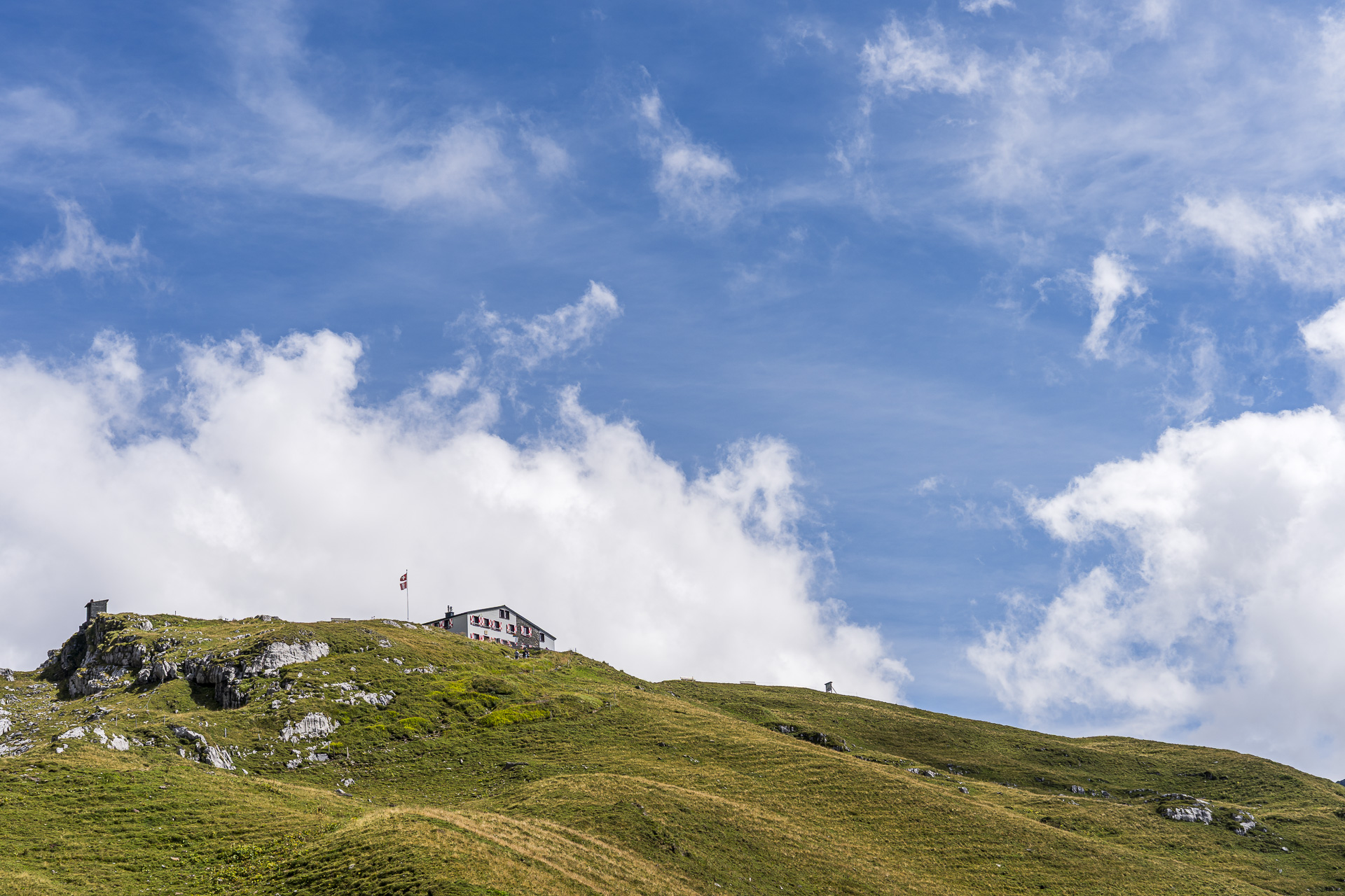
The descent from the Rugghubelhütte to Ristis takes around 1.5 hours. The route is also popular with families and leisure hikers as an easy and not too strenuous hut approach and is noticeably more frequented than the section over the Rot Grätli covered earlier.
All in all a really great route hike with the perfect mix of athletic and alpine passages, magnificent views and enjoyable moments. And at the end, the leisurely descent to Ristis provides a relaxed cool-down.
Key facts of the hike Bannalp – Rot Grätli – Rugghubelhütte – Ristis
The following hiking map shows the route of the hike from the Bannalp (Chrüzhütte) over the Rot Grätli to the Rugghubelhütte and onward to Ristis near Engelberg. With the exception of the last roughly 25 from the Rigidalstafel to Ristis (marked in yellow), the route runs on mountain hiking trails marked white-red-white. On the section across the Schöntaler moraines from waypoint 2353 to the Rot Grätli, somewhat increased attention is required for orientation and route-finding. It’s best to always keep an eye on the next white-red-white marker. Otherwise the route does not present any particular technical difficulties.
| Starting point | Upper station of the Fell aerial cableway – Chrüzhütte (1,720 m a.s.l.) |
| Accessibility | accessible by public transportation |
| Length | 14.3 kilometers |
| Elevation | ↗ 1,023 m ↘ 1,143 m |
| Duration | 5:30 h |
| Destination | Upper station of the Engelberg – Ristis aerial cableway (1,600 m a.s.l.) |
| Dining options | Rugghubehlhütte and Älplerbeizli Rigidal |
Practical tips for the hike to the Rugghubelhütte via Rot Grätli
- Getting there:The starting point of the hike is the mountain station Chrüzhütte on the Bannalp. By public transport, travel via Wolfenschiessen and Oberrickenbach to the valley station of the Fell–Chrüzhütte aerial cableway.
- Aerial cableway to the Bannalp:The Fell–Chrüzhütte aerial cableway, the ‘blaue Bähnli’, has room for 15 people and takes around 10 minutes for the journey. In the summer season 2026 it runs from 08:30 at half-hour intervals, with a lunch break between 12:00 and 13:00. A single ride costs 13 CHF for adults. Since schedules and prices can change seasonally, it’s advisable to check the Bannalp cableways website.
- Ristis–Engelberg cable car: From Ristis the cable car takes you back down to Engelberg. The cable car runs regularly in the summer season until the end of October, depending on the season until 5:00 PM or 6:00 PM. Convenient for those with a GA: The ride between Ristis and Engelberg is included in the GA. There is also a discount with a Halbtax. For more information on prices and the timetable, see here: Getting to Brunni
- Alternative via Brunnihütte: From the Rugghubelhütte you can alternatively hike via Brunnihütte to Ristis and save yourself part of the descent by taking the Ristis–Brunnihütte chairlift. Note that the chairlift is not fully included in the GA.
- Food and drink: The RugghubelhütteIt is ideal for a longer break. The SAC hut is usually staffed in summer from June until the end of October. Alternatively, you can plan an overnight stay here and continue the hike the next day via Brunnihütte and Walenpfad back to the Bannalp.
- Best time to hike:The snow-free summer and early-autumn months are best for the hike. In particular, in early summer there may still be snowfields on the higher section between Bannalper Schonegg and Rot Grätli.

Leave a Reply