



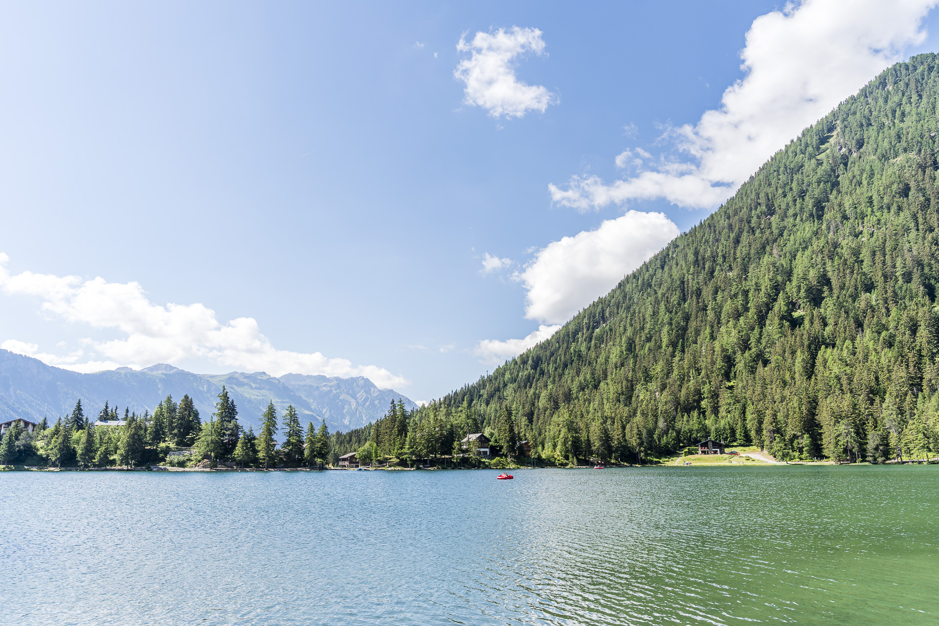
Hike Champex-Lac – La Fouly: In the Footsteps of the Tour du Mont Blanc
At the beginning of July we spent a weekend in the Val Ferret in Lower Valais. Our actual destination: the Hike to the Cabane de L’A Neuve. But with perfect summer weather we wanted to make use of the arrival day for another tour in the region and decided on the hike from Champex-Lac to La Fouly. The varied route is part of the Alpenpässe-Weg as well as the internationally renowned Tour du Mont Blanc. For us it provided ideal warm-up terrain for the more athletic mountain hike the next day.
Start of the hike in Champex-Lac
The journey to this virtually “back corner” of Lower Valais always takes quite a while. So when we arrive in Champex-Lac we already feel like we’ve accomplished something. After changing trains and buses four times, you can definitely count that as a small achievement.
Luckily there is a rather nice little place (Le Cabanon) right opposite the Champex-Lac bus stop, directly on the idyllic lake, that serves a good cup of coffee. And let’s be honest: what a postcard-perfect setting! Champex-Lac is simply a wonderful little place and I always enjoy being in this area.
Fueled by caffeine, we then follow the trail along the lakeshore to the village entrance. From there we first head about 460 vertical meters downhill to the hamlet of Issert – essentially to gather momentum for the subsequent ascent.
Hike through the Val Ferret to La Fouly
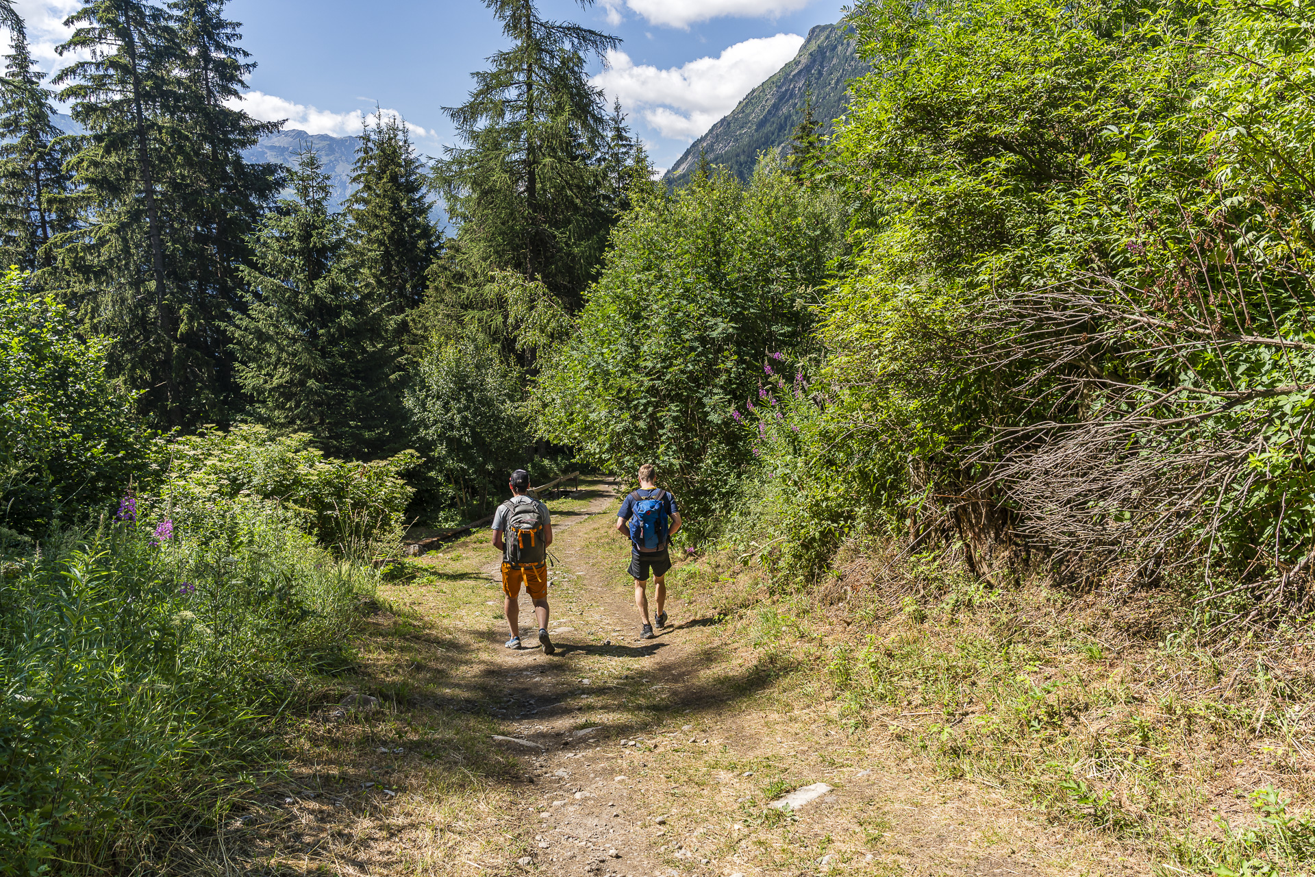
Soon we meet the first long-distance hikers coming from La Fouly. And the closer we get to Issert, the more ‘opposing traffic’ there is on the trail. We are walking the route against the main flow: on both the Tour du Mont Blanc and the Alpenpässe-Weg the primary direction is from La Fouly to Champex-Lac. As on previous visits to this region, I’m amazed at how heavily the Tour du Mont Blanc is used and how internationally mixed the hiking groups are. You hardly meet German-speaking Swiss here—at least that’s the impression I get.
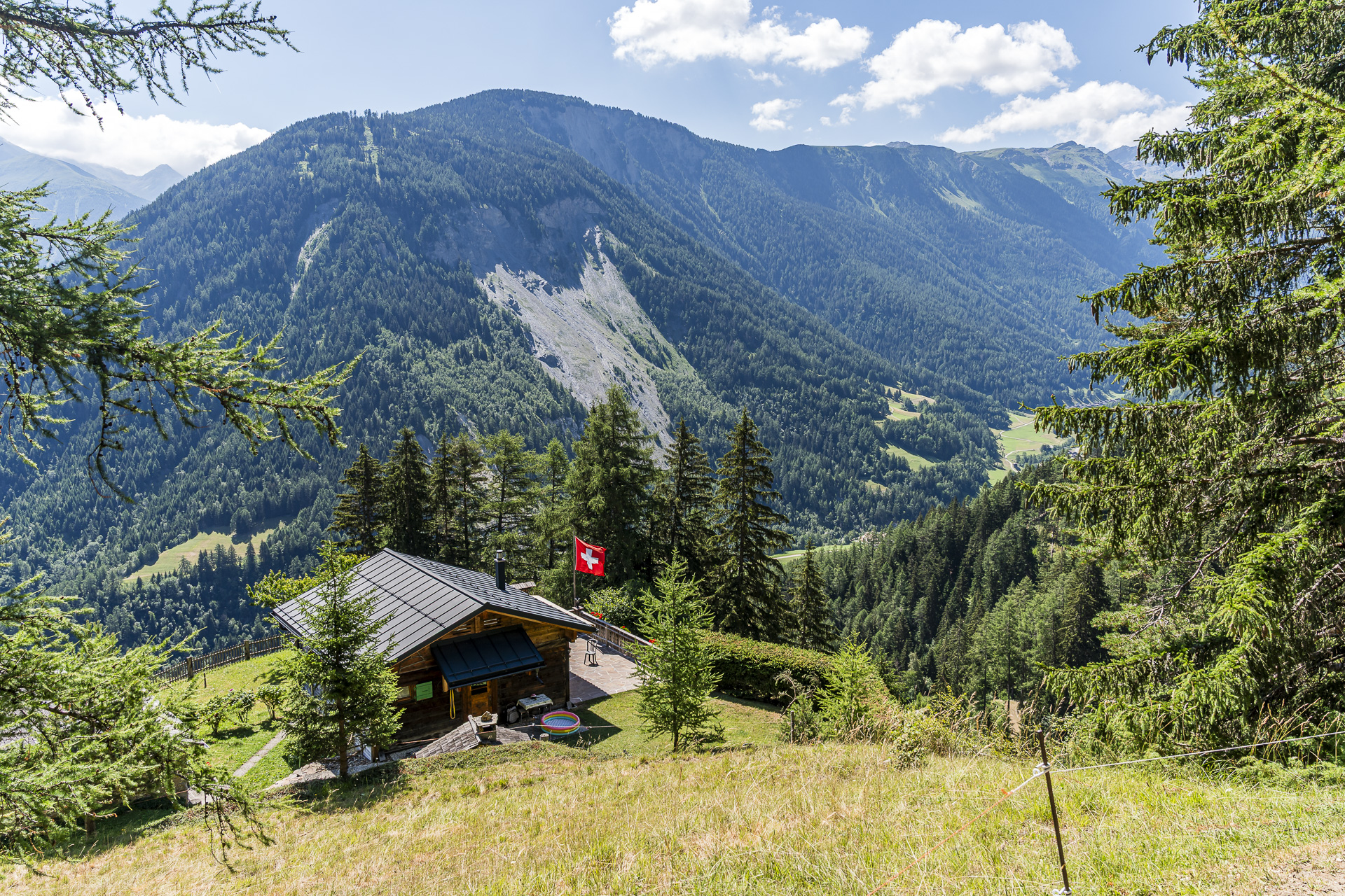
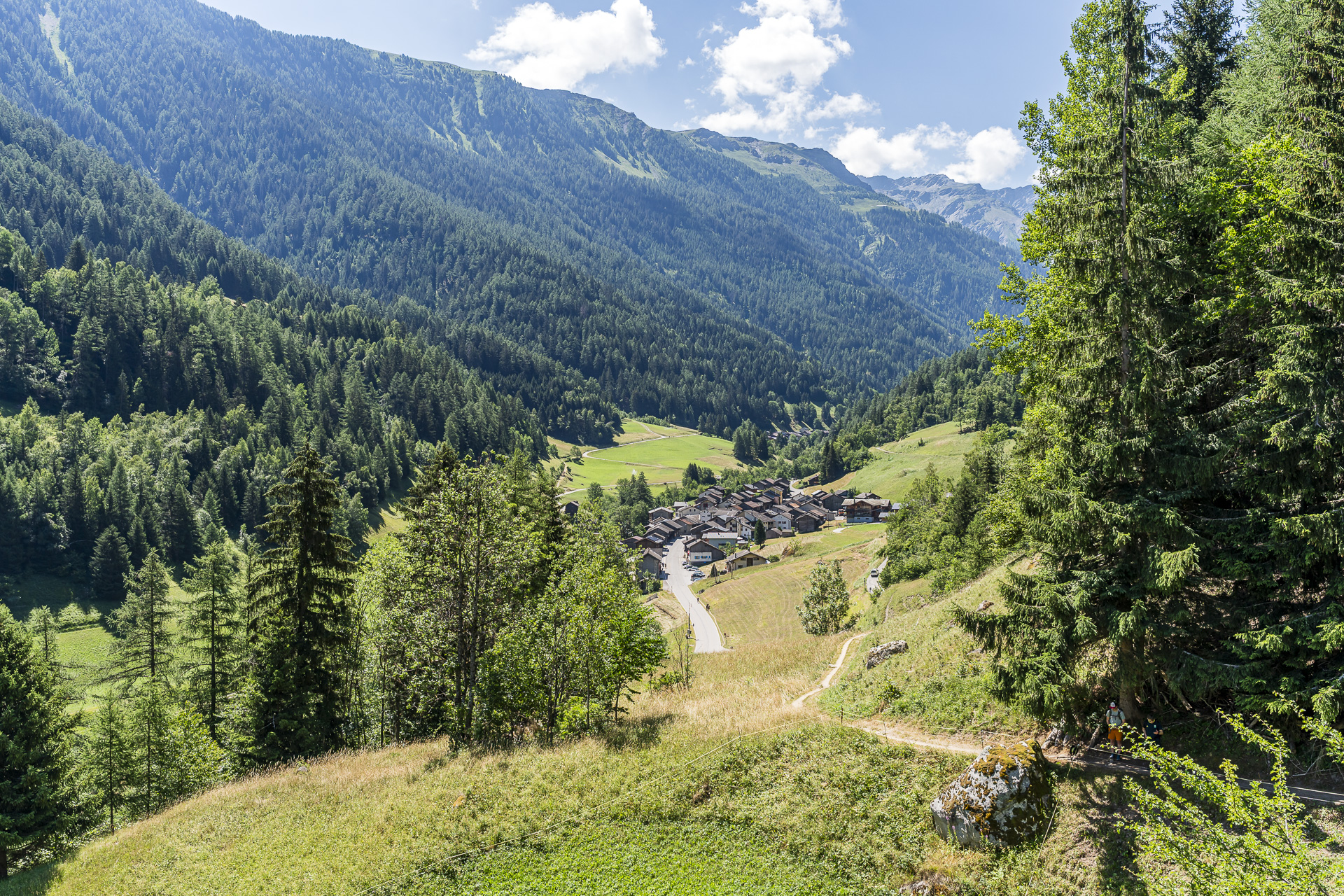
In Issert we cross the Dranse de Ferret and then follow a narrow paved lane toward the hamlet of Arlaches. Here the trail winds between the closely spaced, sun-browned grain sheds and houses. Really picturesque. At Praz-de-Fort we cross back to the other side of the river and pass wooden chalets that, generously spaced apart, seem almost randomly scattered across the landscape.
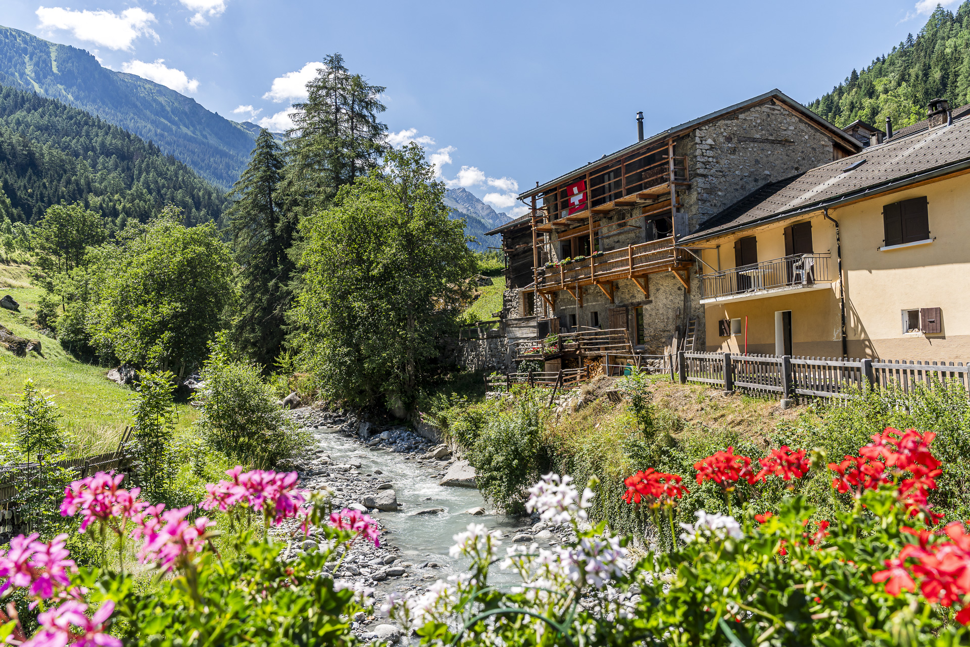
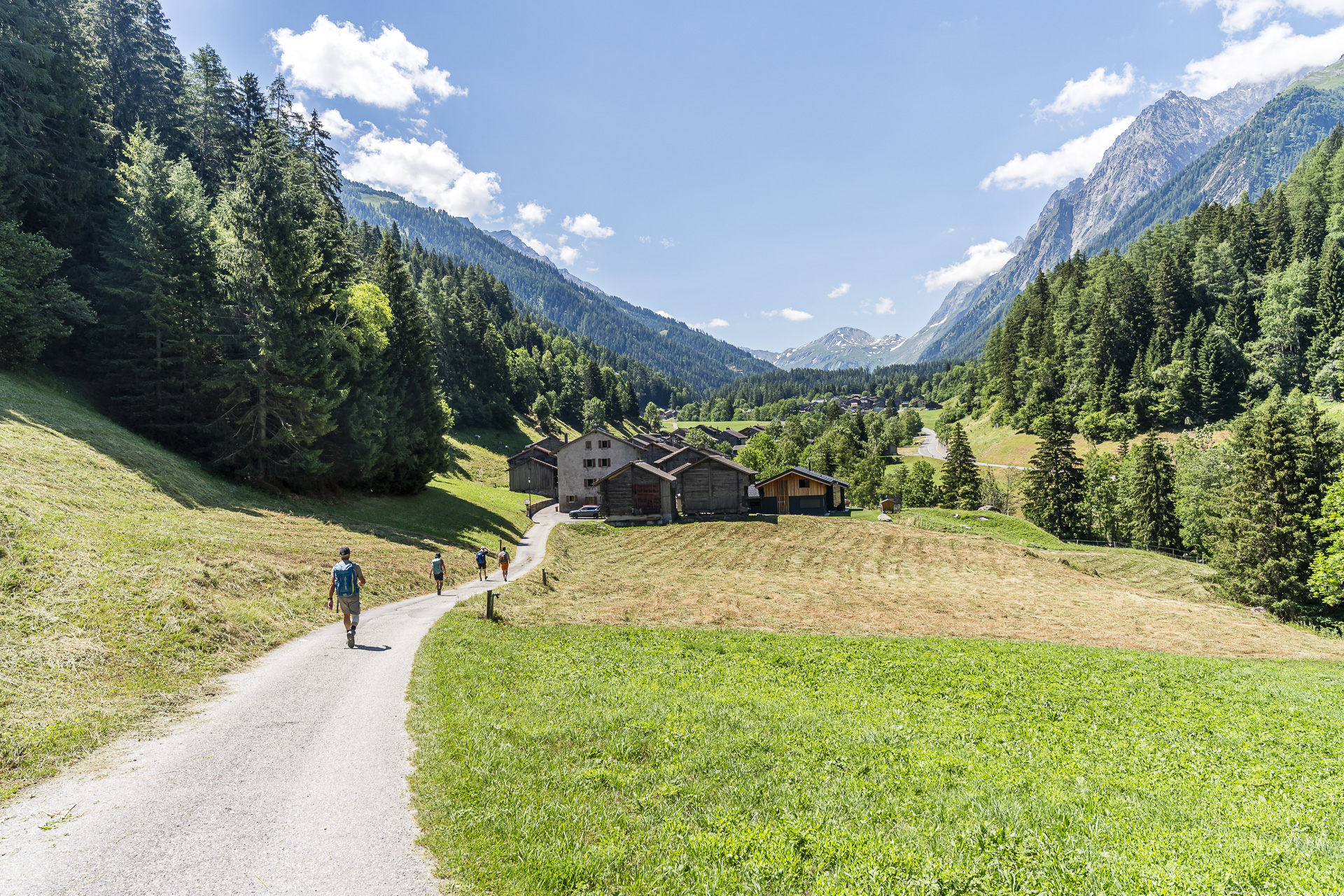
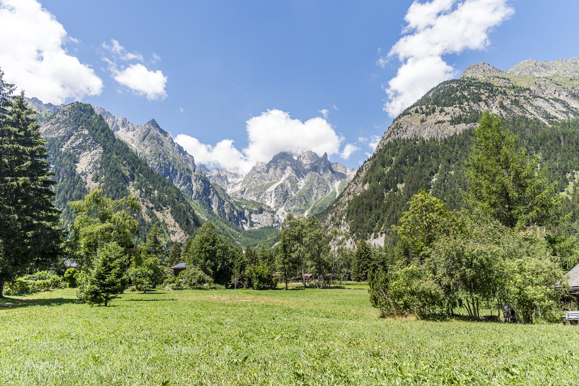
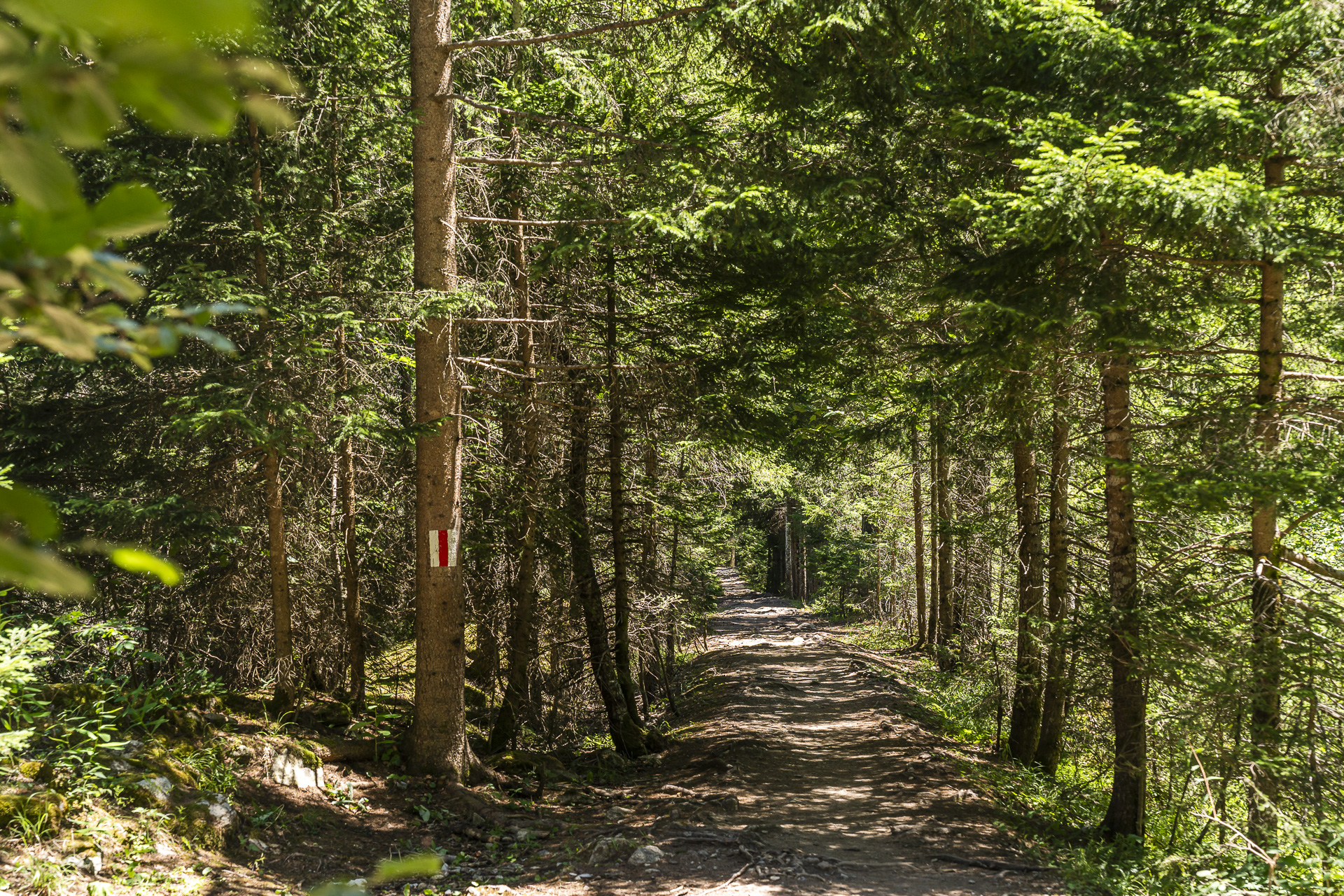
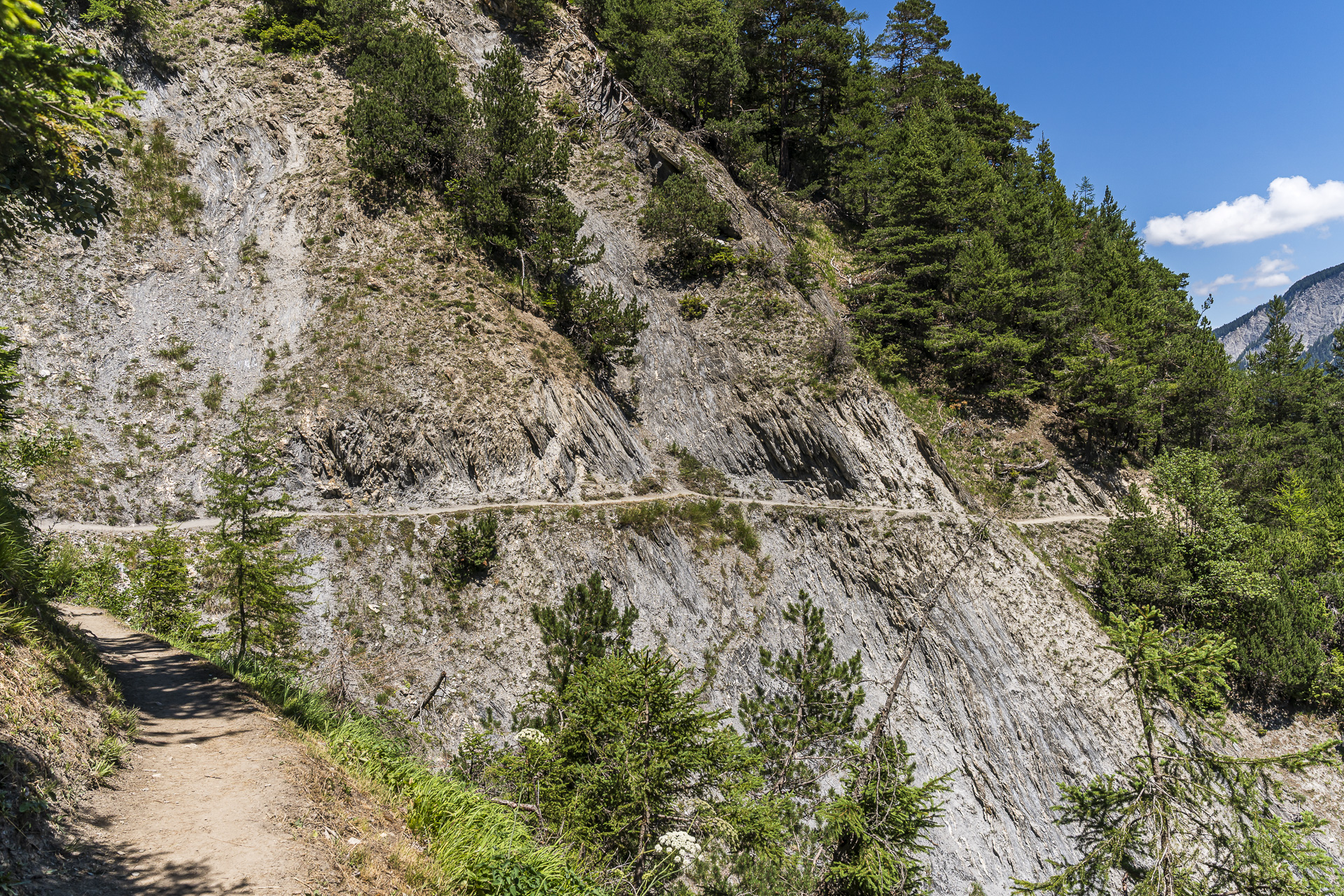
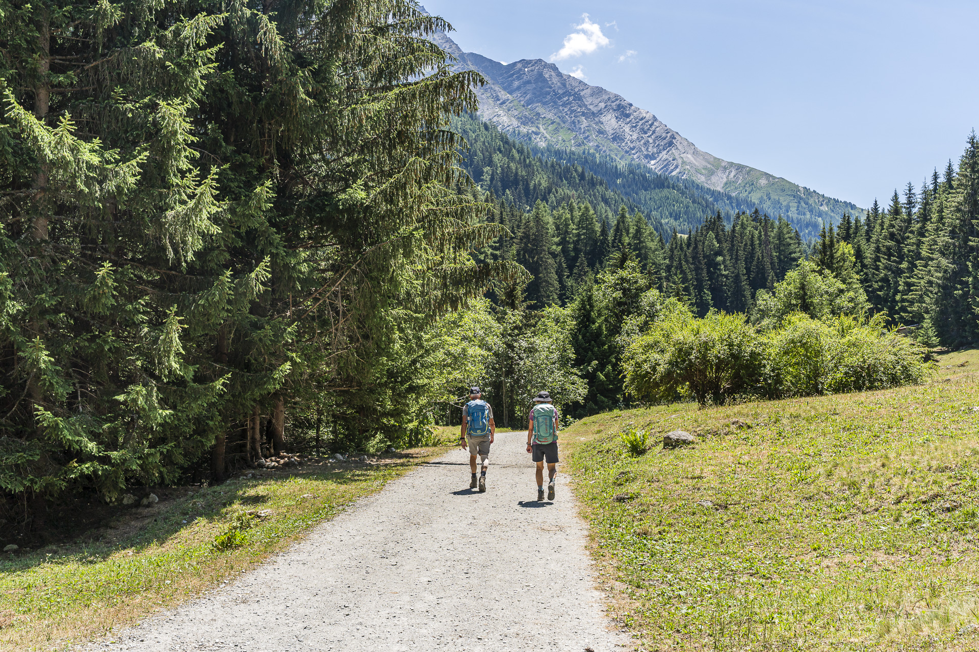
Then the path suddenly turns left. The Crête de Saleinaz, an impressive lateral moraine completely covered with conifers, forces the river into a bend and thus the trail to a westward detour. From there the trail and terrain become increasingly alpine. Root-entangled forest paths and gravel tracks alternate, as do shady wooded sections and a few more exposed passages along rock faces.
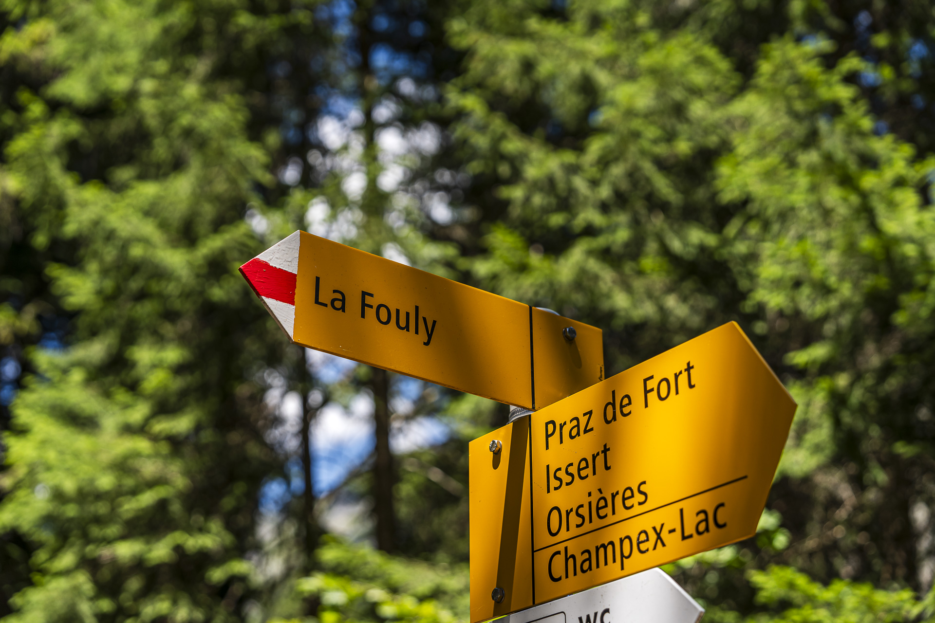
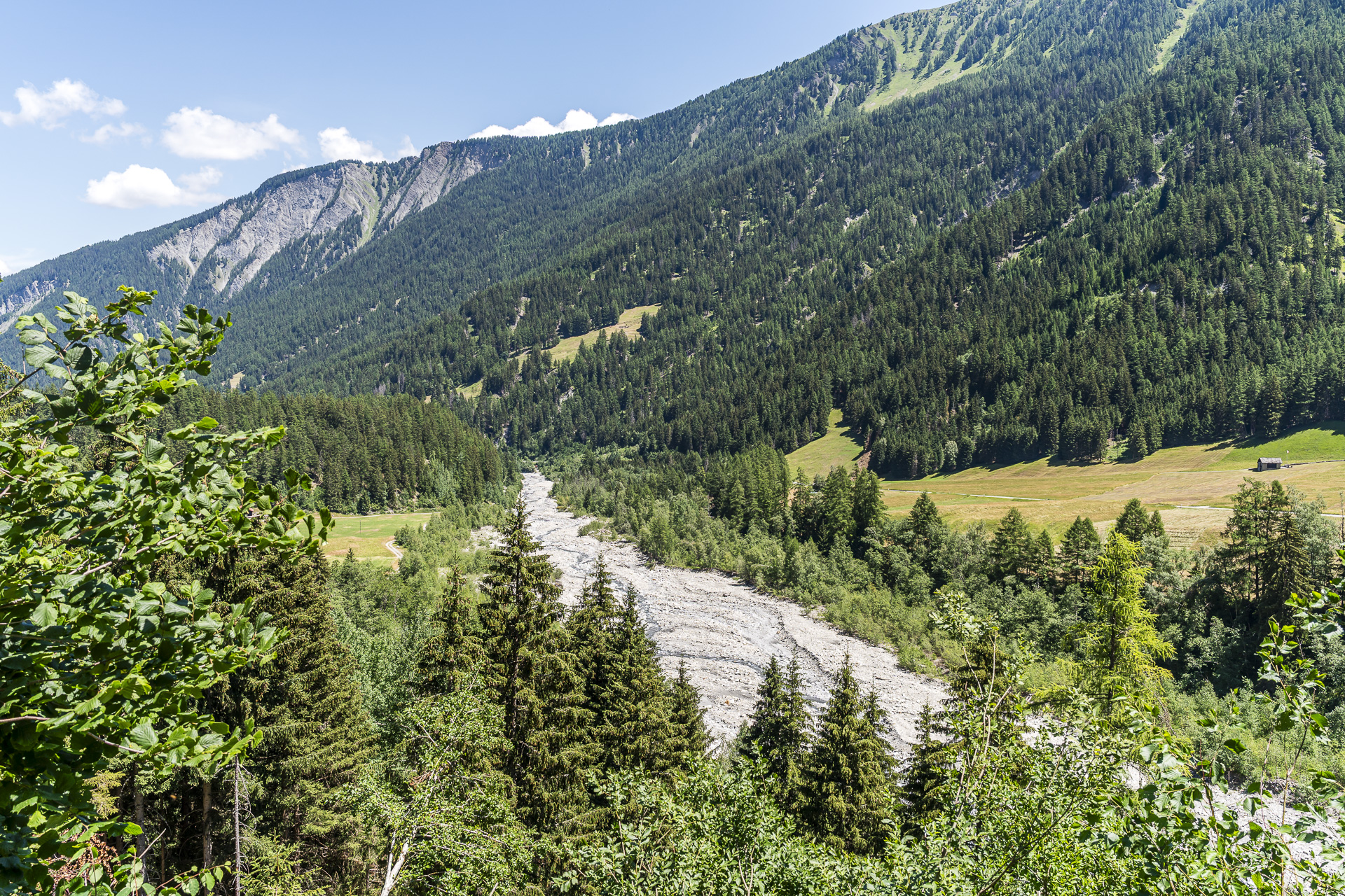
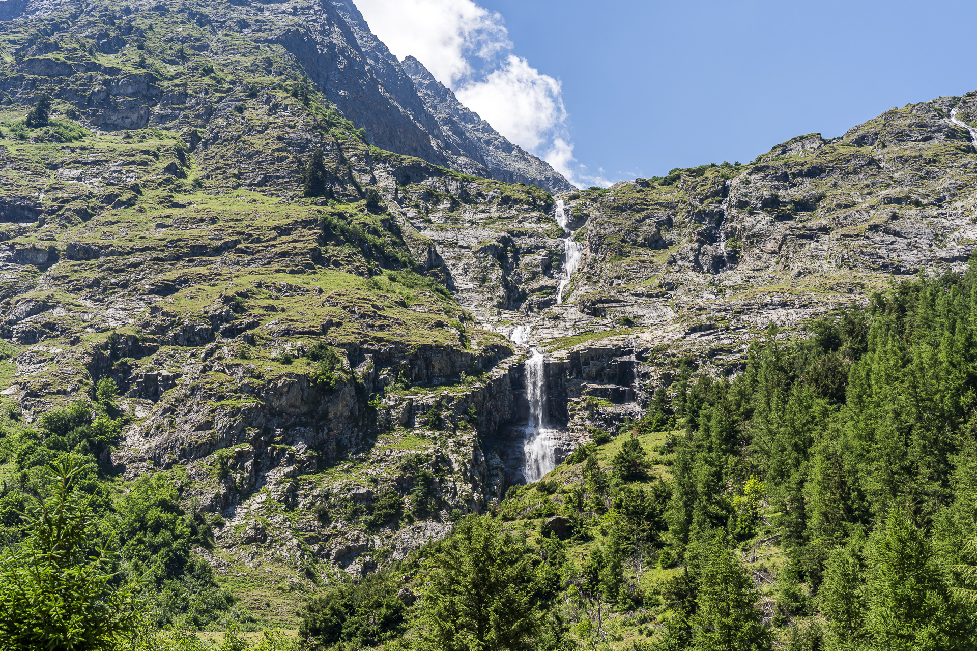
Just before La Fouly the impressive Torrent de Treutsebo is a real eye-catcher. The water plunges here over several cascades through the steep, rocky terrain. From here it’s about one kilometer to our destination in La Fouly. If you need to kill time until the next bus departure, the Auberge des Glaciers is a good place to stop. There is also a small supermarket in the same spot, which by the way offers a great selection of local cheeses.
Overall the hike from Champex-Lac to La Fouly is a varied, technically undemanding tour through the Val Ferret. It is ideal for anyone looking for a longer but not overly challenging hike with beautiful scenery. Thanks to its moderate elevation, the tour can often be undertaken well into the autumn.
Quick facts for the Champex-Lac – La Fouly hike
The following hiking map shows the course of the hike from Champex-Lac to La Fouly along the SchweizMobil route No. 6 (Alpenpässe-Weg). On the first almost 9 kilometers up to waypoint 1390 the route follows a yellow-marked hiking trail (T2). This is followed by a white-red-white marked mountain trail (T2/T3) up to the bridge at L’Amône. From there the trail for the remaining kilometer to the village center of La Fouly is again yellow-marked (T1/T2).
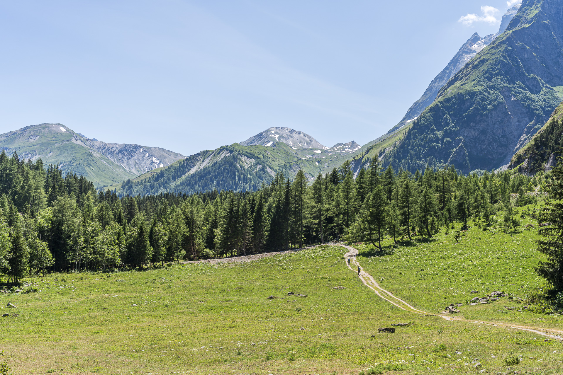
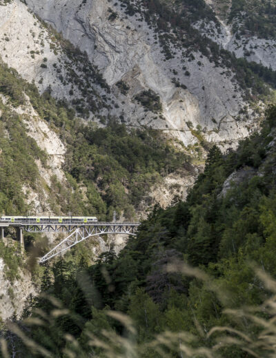
One section is somewhat downhill (see photos above). Otherwise the path mostly runs through the forest or on wider gravel tracks and presents no particular difficulties.
| Starting point | Champex-Lac bus stop (1,460 m a.s.l.) |
| Accessibility | accessible by public transport |
| Length | 15 kilometers |
| Elevation | ↗ 733 m ↘ 599 m |
| Duration | 4:30 h |
| Destination | Bus stop La Fouly VS (1,600 m a.s.l.) |
| Places to eat | Café du Chatelet (Issert) / La Kabana (Saleinaz 92) |
More hiking tips for the region
Want to discover more of the mountains around Champex-Lac and La Fouly? Then you’ll find more hiking tips on the blog:
- Cabane de l’A Neuve: Starting directly in La Fouly is the scenic but physically demanding hike to the spectacularly situated SAC hut high above the Val Ferret.
- Hiking around Champex-Lac: Three more routes lead from Champex-Lac to the Cabane du Trient, over the Fenêtre d’Arpette and via Alp Bovine.
- Tour du Saint-Bernard: In our four-day variant of this multi-day hike, the route goes via the Fenêtre de Ferret to La Fouly and from there continues through the wild Combe de l’Â.
- Alpine Passes Trail through Lower Valais: Our three-day tour from Mauvoisin via the Cabane Brunet to Bourg-St-Pierre offers an even stronger long-distance hiking experience.
Leave a Reply