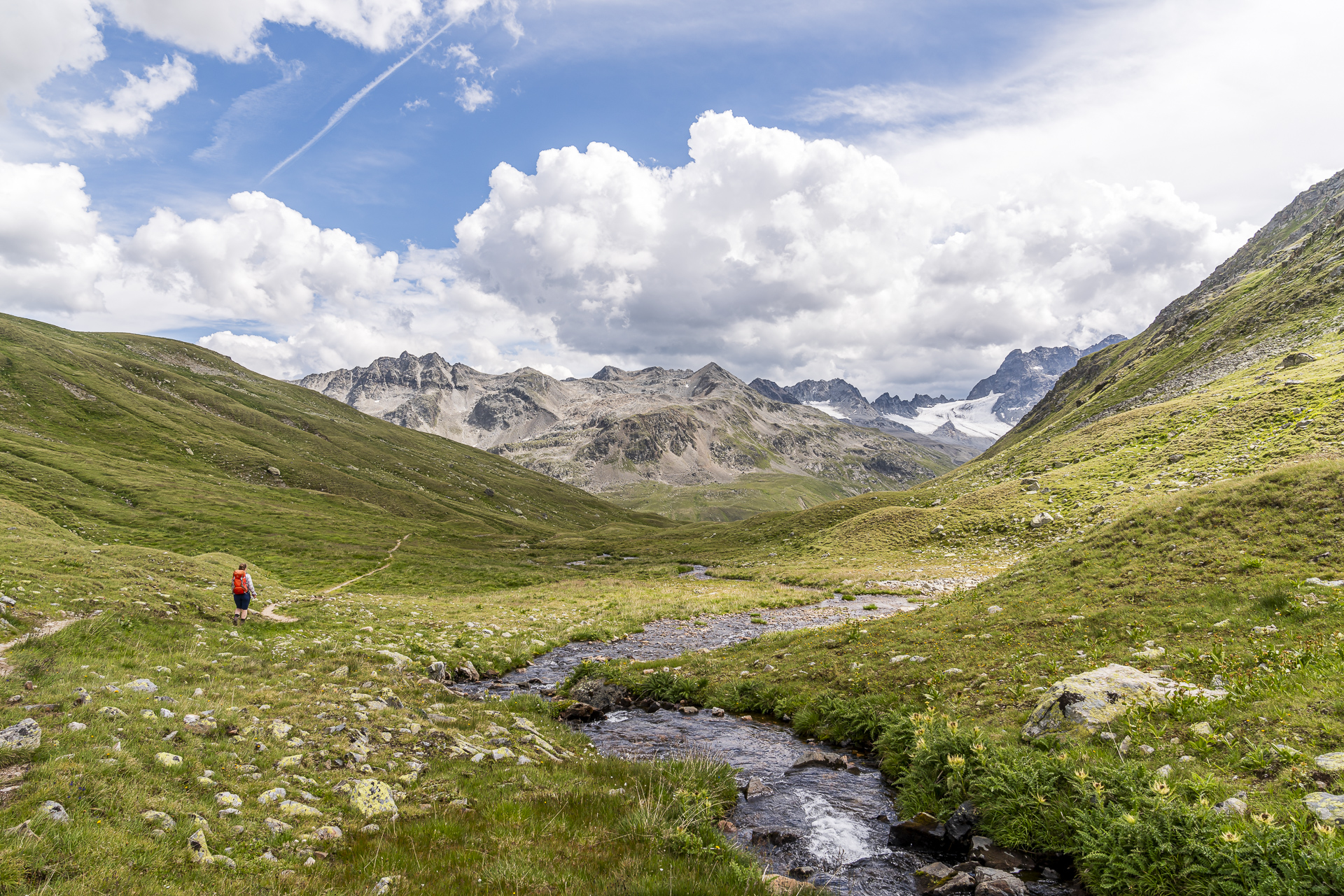
Over the Sertig Pass to the Kesch hut: 2-day Kesch trek variation
From the Sertigtal via the Kesch hut in two days through the Ela Nature Park into the Engadin. 32 kilometers over hill and dale through the magnificent Graubünden mountains. For the first multi-day hike of the season, we put together what we thought was a pretty casual two-day Kesch Trek variation. It may well be that reading the following lines will ignite your wanderlust.
Two-day hike from the Prättigau/Davos region to the Engadin
The Kesch Hut, located between Davos and the Albula Pass at 2,625 m above sea level, is not necessarily the most obvious stopover for a hike from the Prättigau/Davos region to Engadin. The more direct route leads via the Dischma high valley along the old mule tracks over the Scaletta Pass. However, we have long had in mind a tour variation inspired by the four-day Kesch Trek from Davos via the Kesch Hut and the Chamanna d’Es-Cha into the Engadine. This is how the idea came about to climb over the Sertig Pass and from there follow the course of the second and third Kesch Trek stages to the Engadin village of Madulain.
Day 1: From the Sertig Pass to the Kesch Hut
The sun is already shining hotly from the sky when we reach the starting point of our hike – Sertig, Sand – around midday. The summer holidays are in full swing and the sun terrace of the Walserhuus restaurant is therefore almost full to capacity. While the majority of people around us are enjoying the wonderful mountain summer day with a long lunch, all we can do is stop for a quick espresso. This is with the hope that the caffeine will give us an extra kick of energy for the 2.5-hour climb to the Sertig Pass that follows.
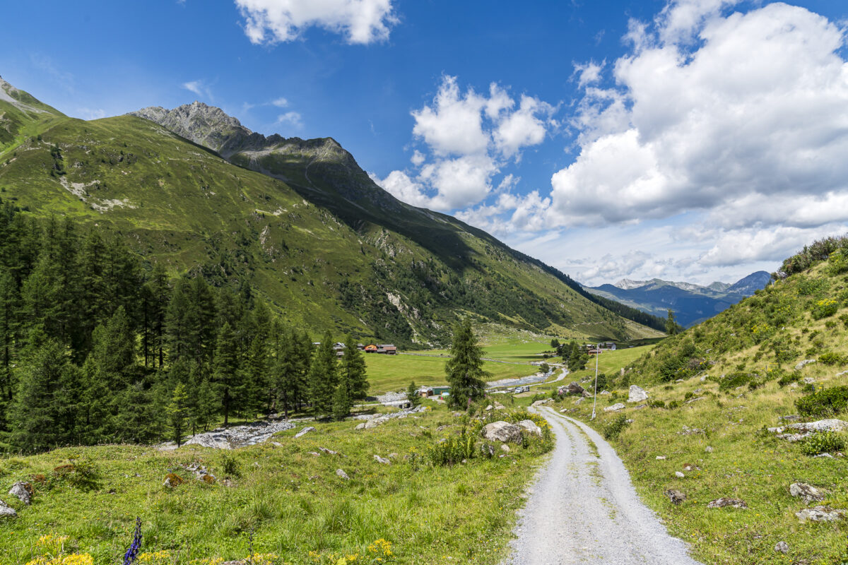
The first hour of the hiking trail follows a wide, constantly rising gravel path through the Chüealptal, which is used for alpine farming, to Grünsee. We’re making quick progress here – but when we look towards the end of the valley, we can also see with every step what lies ahead in terms of altitude.
After crossing the Chüealpbach at Grünsee level, we continue uphill on a much narrower path. It’s worth taking a short break or two on this route – looking back at the path you’ve already covered is incredibly motivating. And apart from this sublime mountain panorama, we are thrilled by the fact that we have only crossed paths with three people so far. Hard to believe!
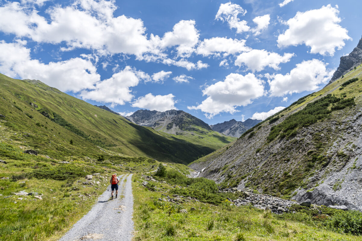
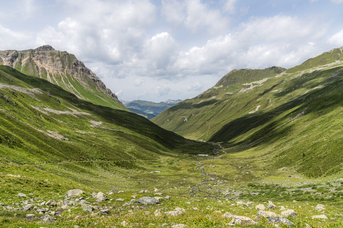
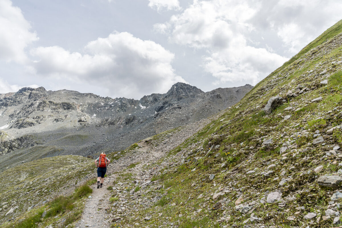
Je näher wir dem Sertigpass kommen, desto steiniger wird das Gelände. Der Weg ist aber durchgehend gut sichtbar markiert und beinhaltet auch keine technisch schwierigen Stellen.
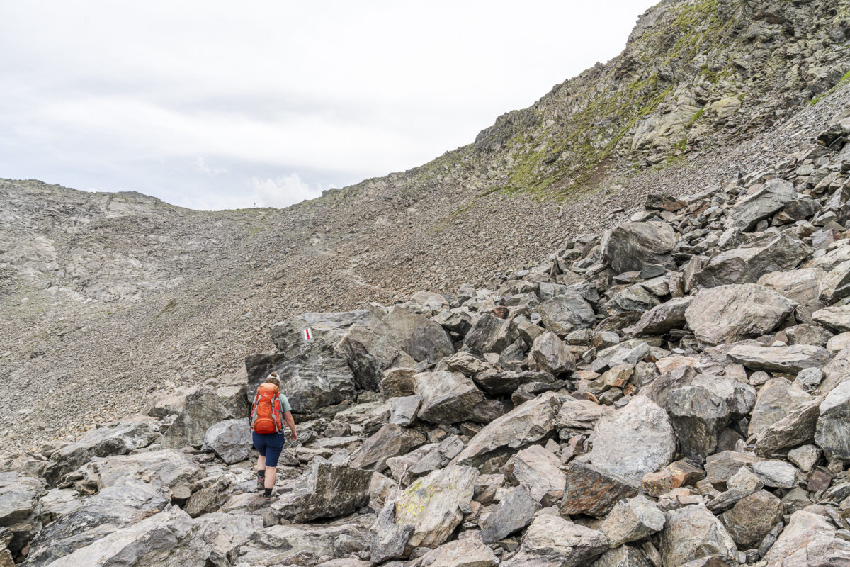
The highlight: Lai da Ravais-ch Suot and Lai Lai da Ravais-ch Sur
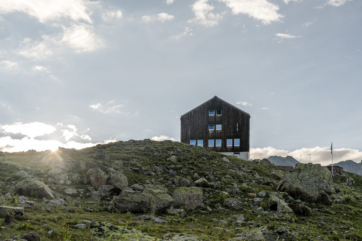
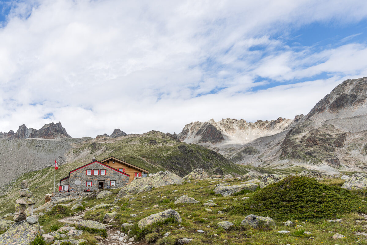
The moment when the signpost at the top of the pass finally comes into view makes my heart jump for joy. We would have managed the strenuous part of this first day of hiking. Now our reward is the scenic route over the Sella da Ravais-ch and the Val Sartiv. And we can see the stage destination – the Kesch Hut – in the distance from up here.
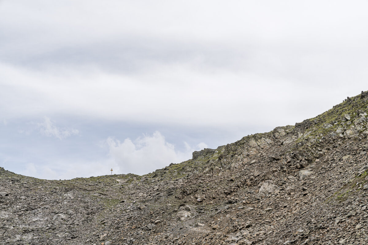
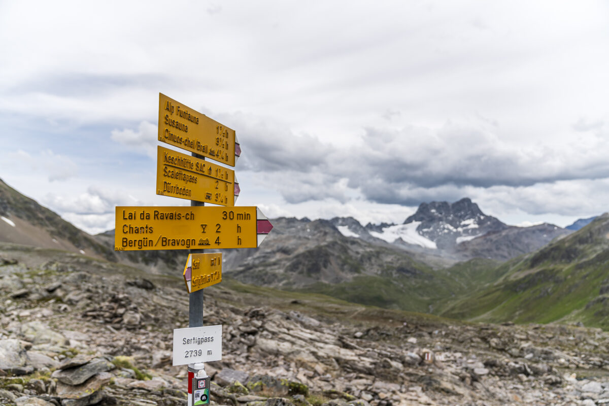
But first we walk in the wrong direction for another thirty minutes according to the signpost. On the Sertig Pass you have the choice of continuing directly to the Kesch hut or taking a loop to the Lai da Ravais-ch. The latter is definitely worth it! And the marmots also seem to like the area – in the remaining four kilometers to the Kesch hut we see the cute rodents every twenty meters along the side of the path.
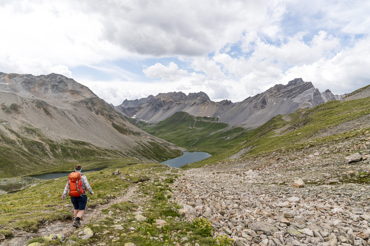
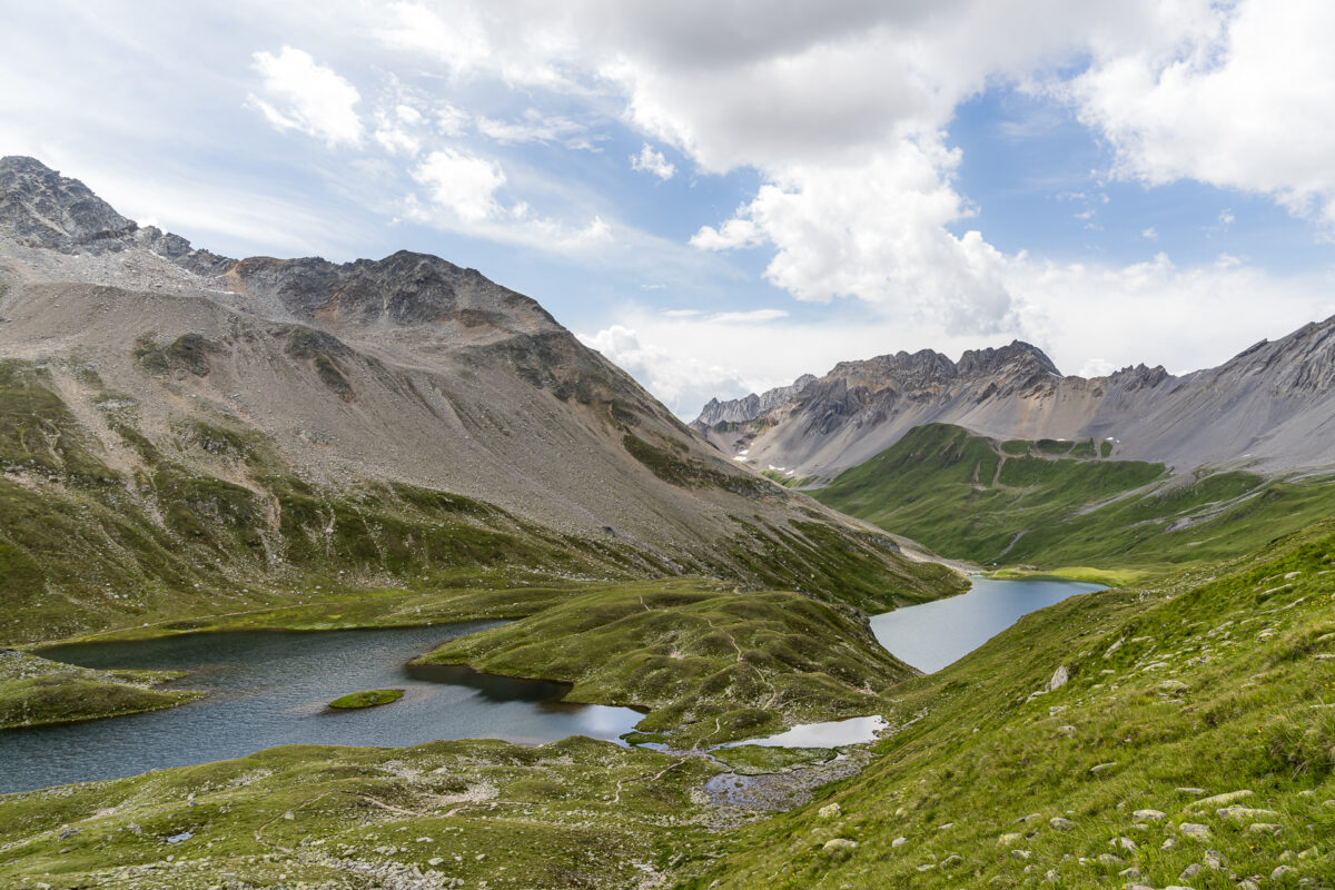
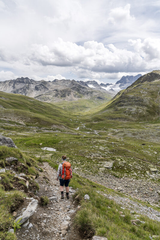

After the wonderfully scenic route through Val Sartiv, we are faced with another 200 particularly tough meters of altitude at the crowning conclusion of this first day of hiking. Once these are overcome, nothing stands in the way of a cozy evening in the hut.
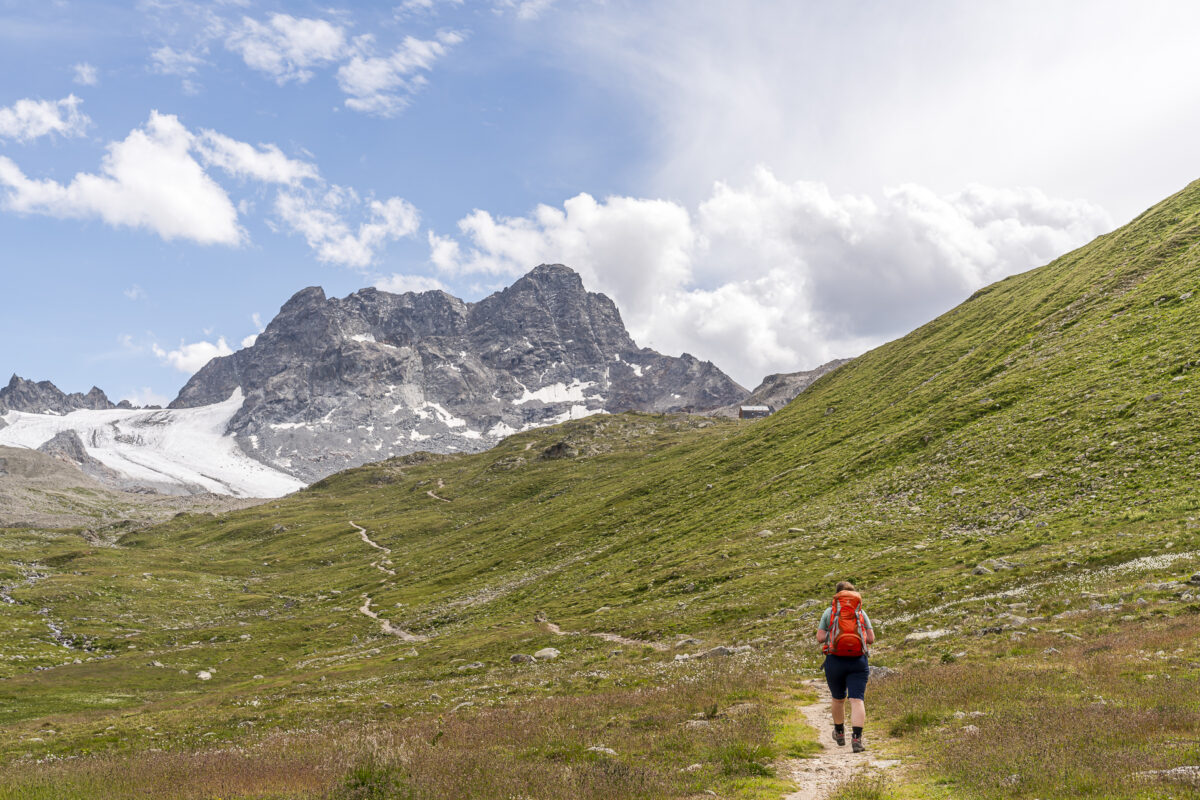
Key details of the hike Sertig, Sand – Sertigpass – Kesch-Hütte
You can see the route of the hike from Sertig, Sand near Davos over the Sertig Pass to the Kesch Hut on the map below. It is a white-red-white marked mountain hiking trail with difficulty level T2/T3. The first four kilometers are more like a yellow-marked hiking trail (T1). The climb up to the Sertig Pass is well marked throughout and does not include any particularly technically demanding or exposed areas. For the last two kilometers (from the junction towards Alp Funtauna), bike route no. 90 (Bergün-Davos) runs parallel to the hiking trail. It is possible that bikes will come towards you on the sweaty final climb to the Kesch hut.
| Starting point | Bus stop Sertig, Sand (1,858 m above sea level. ) |
| Accessibility | Starting point accessible by public transport (destination not) |
| Length | 12.8 kilometers |
| Elevation meters | ↗ 1,139 m ↘ 373 m |
| Duration | 4:30 h – 5:00 h |
| Destination | Kesch hut (2,627 m above sea level) |
| Catering | In the Walserhuus Sertig restaurant at the starting point and in the Kesch hut |
Day 2: From the Kesch hut via Chamanna d’Es-cha to Madulain
However, the atmosphere in the Kesch hut wasn’t exactly what I would describe as particularly “cozy”. After only meeting a few people along the way, we felt a bit overwhelmed by the full hut, the numerous groups and the associated noise level. And the snoring noises in our mattress room, which was occupied by 8 people, were also record-breaking.
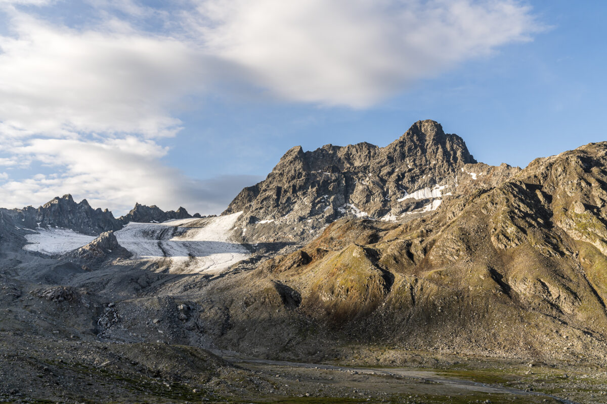
The view of the Porchabella glacier at the foot of the Piz Kesch, shimmering golden in the light of the first rays of sunshine, quickly made us reconciled. These enchanting moments are what make the less restful nights in the huts worthwhile! We start the second day of hiking early and follow the signpost down towards Bergün. Up to Chamanna d’Es-Cha, today’s route corresponds to the third stage of the Kesch Trek.
Even though the night wasn’t particularly restful for me, my legs seem to have coped well with the altitude of the previous day. With fresh energy, we follow the Ava da Tours mountain hiking trail downhill through varied terrain. In doing so, we are essentially gaining “momentum” for the upcoming crossing of the Fuorcla Pischa.
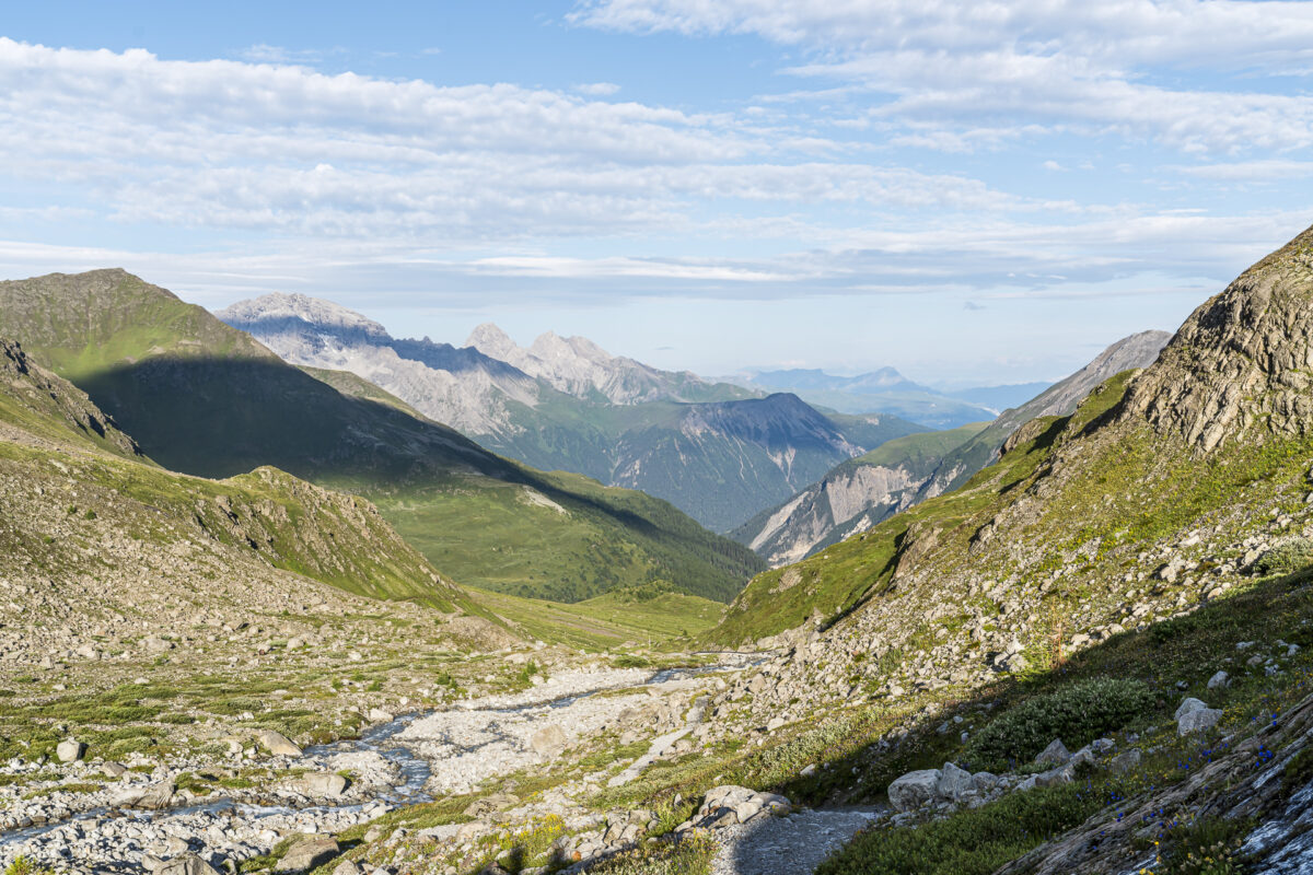
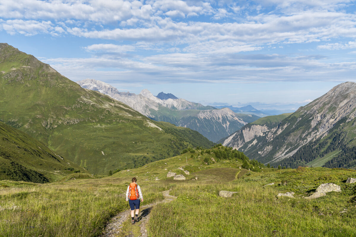
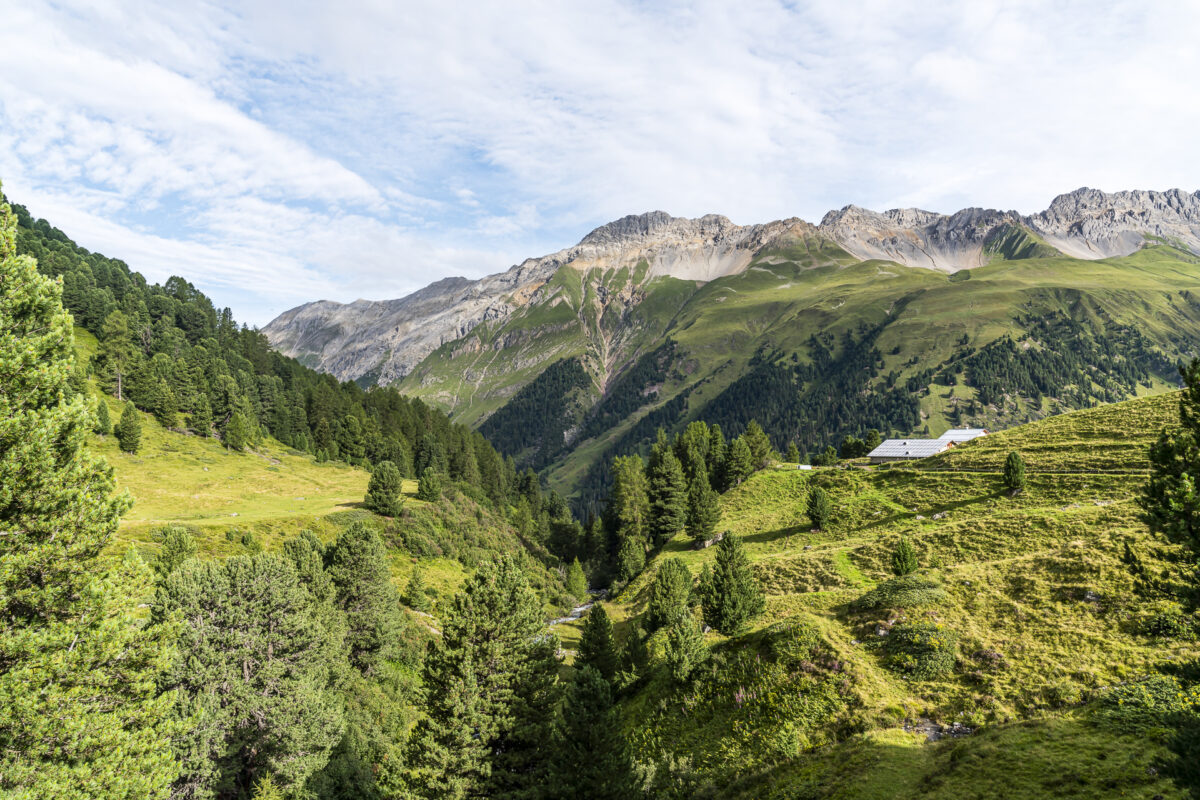
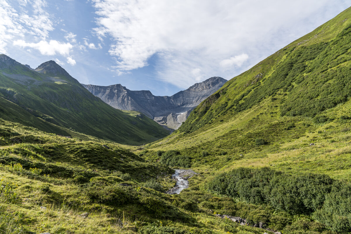
At Alp digl Chants the rapid descent up to this point ends abruptly. We turn left and climb to the alp. Like the day before, we are now led through a high valley used for alpine farming towards the end of the valley. This with full certainty of what awaits us at the end: a long climb of almost 2,100 m above sea level. M. in a zigzag to the highest point of the Kesch Trek at an impressive 2,867 m above sea level. M.!
Steep, steeper, Fuorcla Pischa
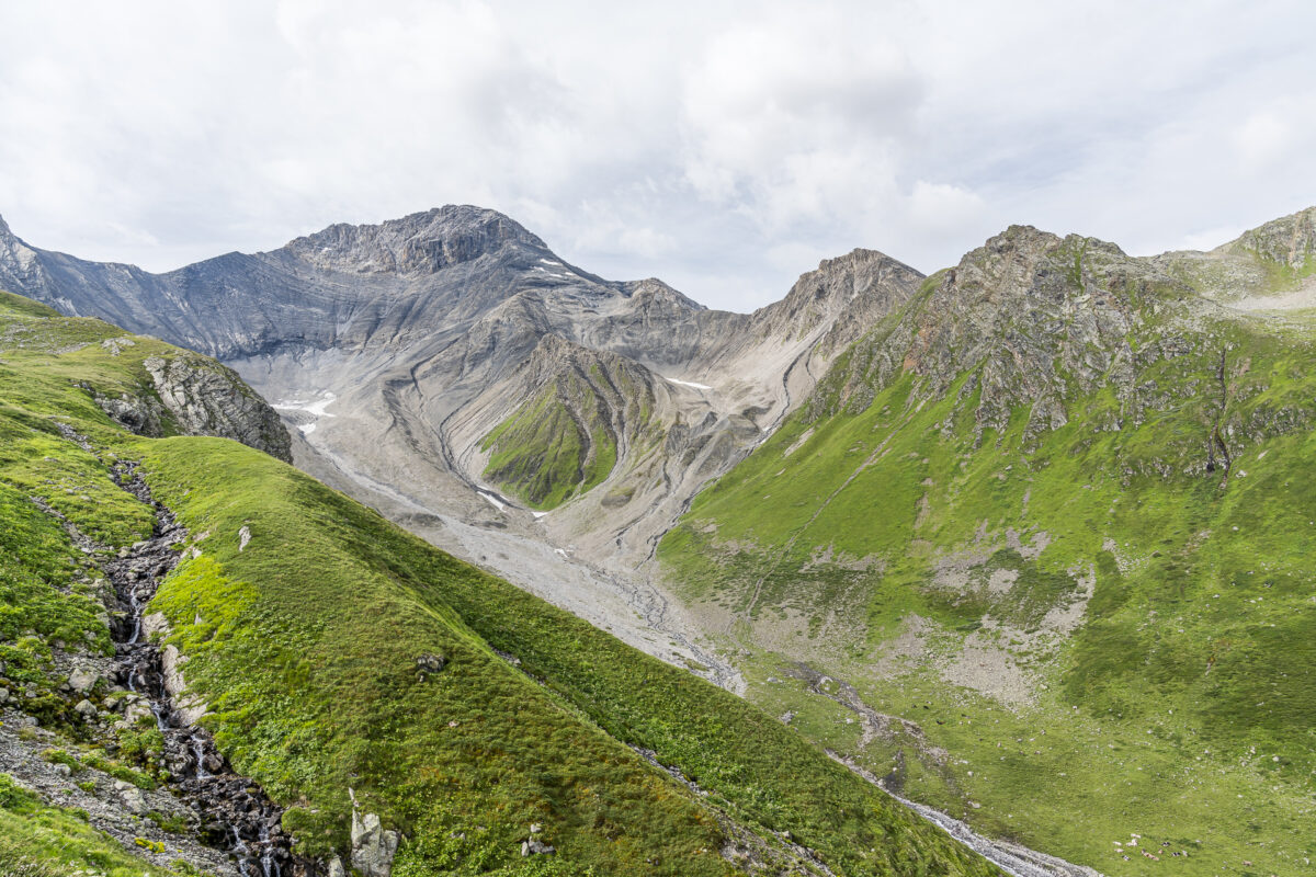
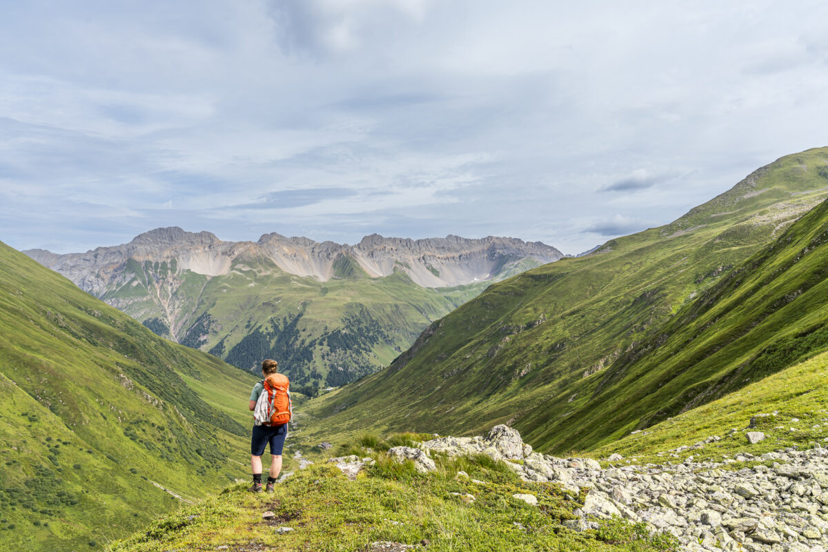
But the same applies here: take the time to admire the wonderful mountain panorama all around. With every meter of altitude that we cover on the way to the transition from Val Plazbi to Val d’Es-cha, the vegetation becomes sparser again. The last 300 meters are particularly challenging – the path is steep, exposed in places and, above all, you should pay close attention to the path markings so as not to take strenuous detours.
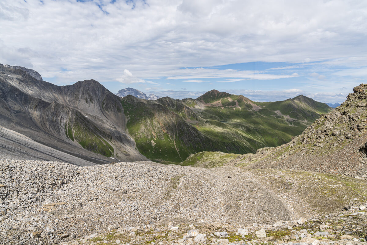
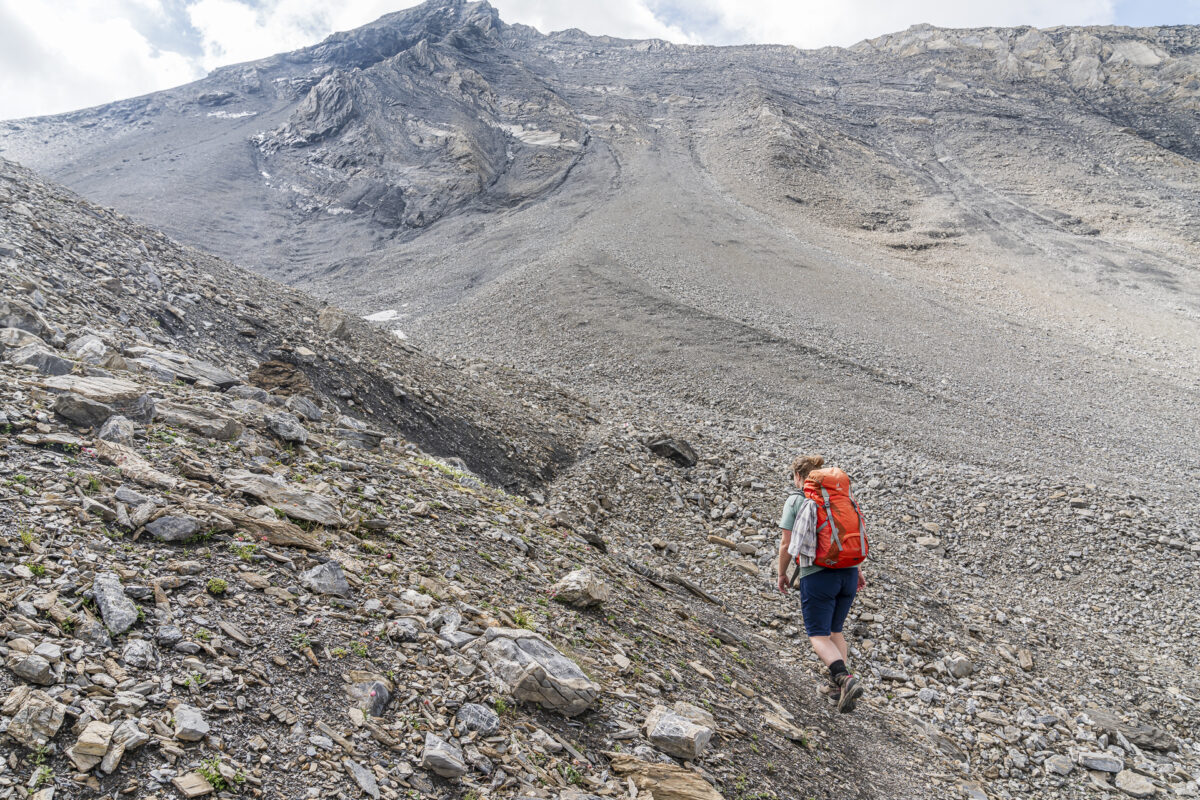
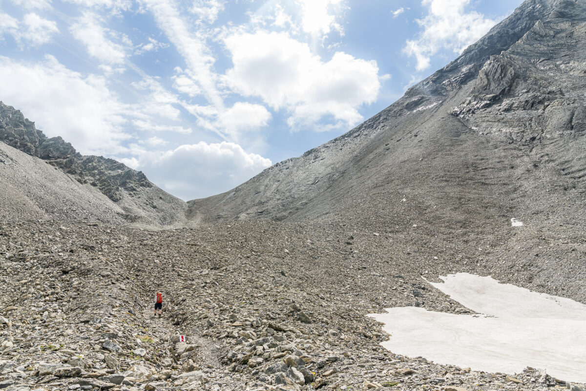
After crossing the pass, you can expect not only a wonderful view of the Engadine peaks including the snow-covered Bernina massif, but also a varied descent over a rubble saddle towards Chamanna d’Es-cha. A good hour after crossing the pass we are sitting outside the hut with a delicious vegetable soup and a piece of apricot cake. Well deserved – in my opinion. For everyone who completes the Kesch trek, the daily goal has been reached at this point.
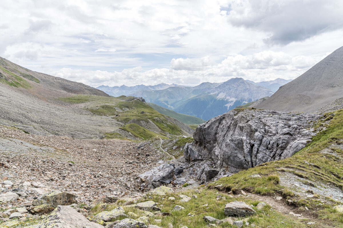
We, on the other hand, now have a steep descent to Madulain, 900 meters lower. A route that we took from an earlier detour to Chamanna d’Es-cha already know. Our destination for the day is also well-known: the Hotel Chesa Stüva Colani. We enjoyed a fantastic lunch there last year. This time we not only reserved a table for dinner, but also checked in for one night. A tour end that suits our taste.
Key details of the hike Kesch-Hütte – Fuorcla Pischa – Chamanna d’Es-cha
You can see the route of the hike from the Kesch hut via Chamman d’Es-Cha to Madulain on the map below. It is a white-red-white marked mountain hiking trail with difficulty level T3. The climb to the Fuorcla Pischa is quite steep in the last third and physically demanding. And for the long descent to Madulain, it may be worth packing poles (although most of the path is easy to walk without poles and only has a few gravel sections in the top part). Otherwise, the path does not contain any technically difficult or particularly steep sections.
| Starting point | Kesch hut (2,627 m above sea level) |
| Accessibility | Starting point not accessible by public transport |
| Length | 20.6 kilometers |
| Elevation meters | ↗ 1,056 m ↘ 1,984 m |
| Duration | 7:00 h – 7:15 h |
| Destination | Madulain train station (1,697 m above sea level .) |
| Catering | Alp digl Chants (small farm shop), Chamanna d’Es-Cha |
Practical tips for your hike on the Kesch Trek
- The two-day hike – provided all snow fields are gone – takes place on mountain hiking trails that are mostly technically easy at altitudes between 1,900 and 2,900 meters above sea level. Anyone who undertakes the hike in early summer (from mid-June) must expect that there will still be snowfields at these altitudes.
- The second day of hiking is physically demanding with a distance of 20 kilometers and can be shortened with an overnight stay in the Chamanna d’Es-cha. From here you can also follow the fourth stage of the Kesch Trek to Preda (or Bergün) the next day.
- You can reach the starting point of the hike in Sertig, Sand from Davos Platz by bus no. 308 853 (GA/half-fare card valid).
- The summer season of the Kesch-Hütte lasts from June 17th to October 15th. An overnight stay with half board costs 81 CHF. SAC members pay 69 CHF for overnight stays.
- If you’re staying overnight in a hut, pack a silk sleeping bag and remember not to leave any rubbish in the mountains but to carry it down to the valley.



Leave a Reply