

Schynige Platte Panorama Trail – leisurely hike
Looking for inspiration for your next easypeasy Sunday outing? Then I might have a brilliant idea for you in this post! We were recently out and about in Interlaken and spontaneously decided to make a detour to the Schynige Platte. The striking mountain flank above Wilderswil is one of the most famous excursion destinations in the Bernese Oberland. But due to the current travel restrictions and the lack of international tourists, the usual hustle and bustle during the high season is absent.
My last trip to the Schynige Platte was more than 20 years ago (time flies…) and the memories of it have faded. The ideal opportunity to refresh your childhood memories and enrich them with a circular hike on the Panorama Trail.
From Wilderswil to the Schynige Platte
The starting point for a trip to the Schynige Platte is four minutes by train from Interlaken Ost at Wilderswil station – at least for the cosy “Sunday version”. Alternatively, hiking trails lead up the almost 1,500-metre-high mountain flank from both Wilderswil and Bönigen. But for us, the focus today is not on the sporty part, but rather on the enjoyable part.
A more than 100-year-old cogwheel railway in Belle Epoque style leads from Wilderswil to the Schynige Platte. The journey takes about 50 minutes. Due to the limited capacity and time required, it is therefore generally recommended to buy the tickets online in advance via the website of the Jungfrau Region. “Thanks” to the current situation, however, spontaneous excursions also work. We hadn’t bought our tickets in advance, but bought the tickets for the next train directly at the counter in Wilderswil station (with zero waiting time – which is not a matter of course for such a popular destination during the summer holidays).
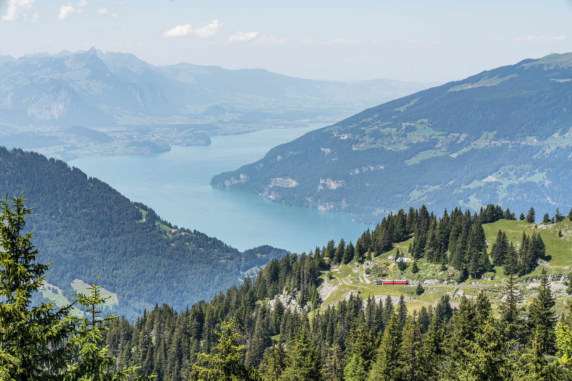
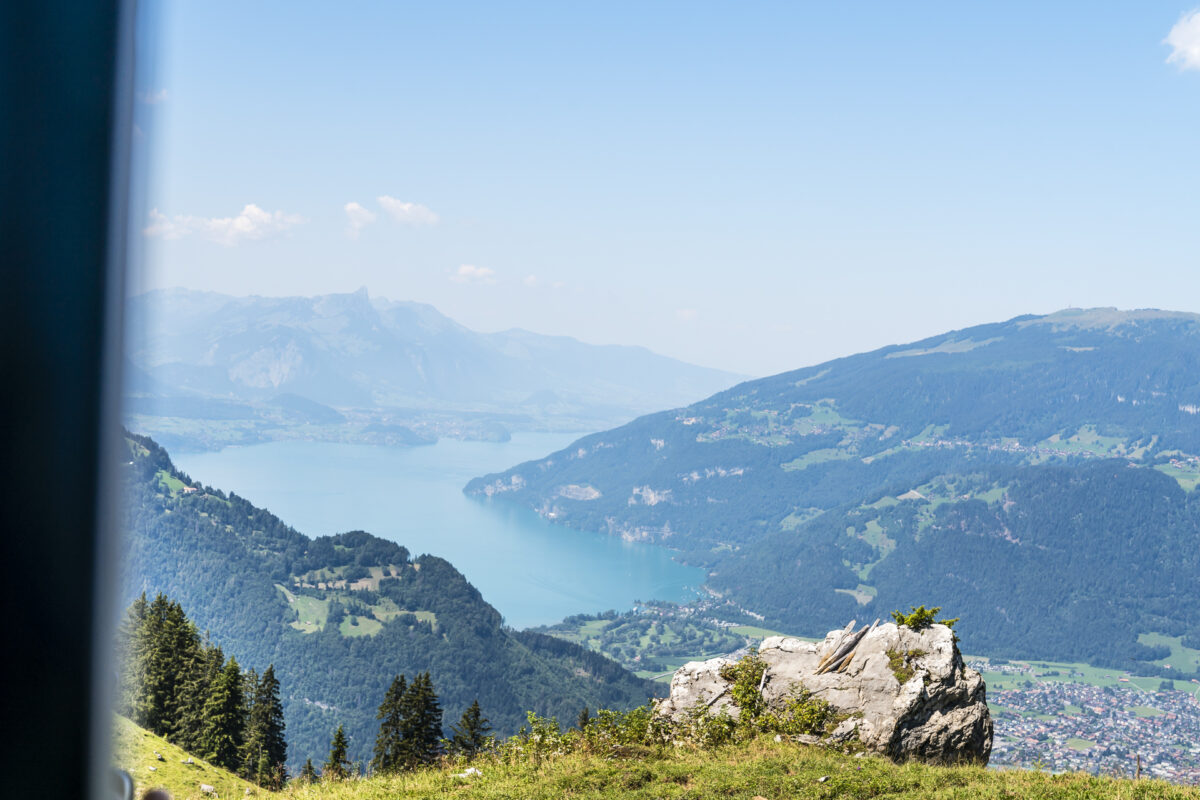
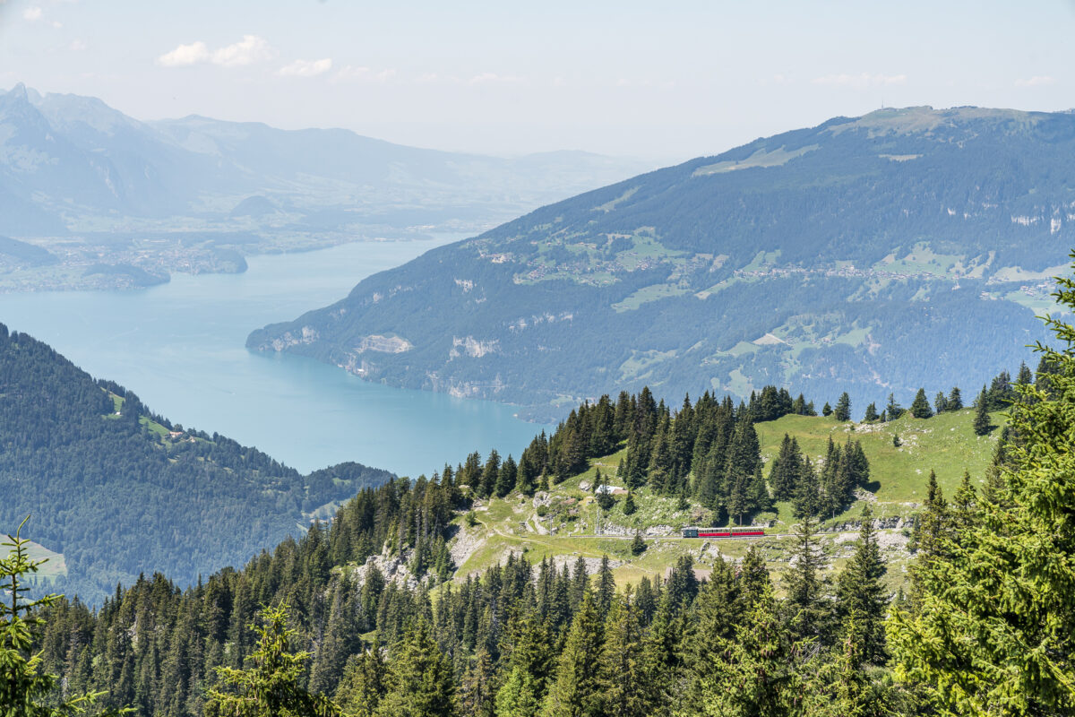
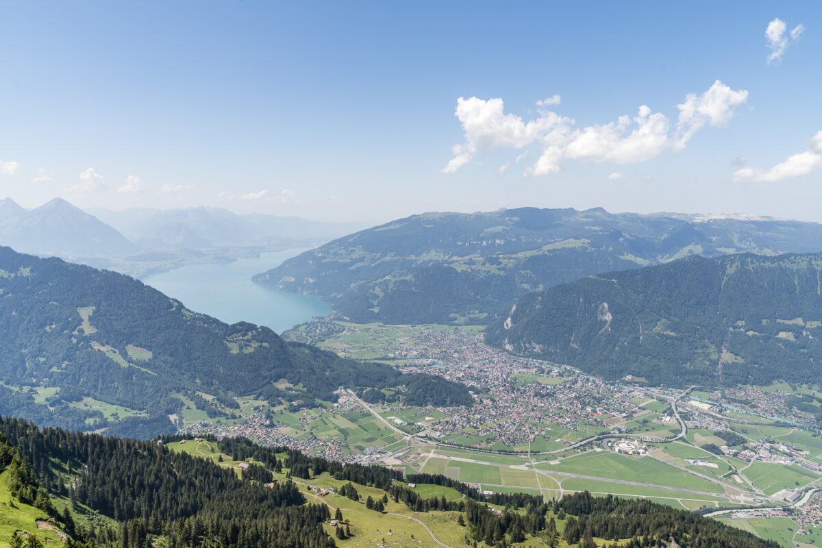
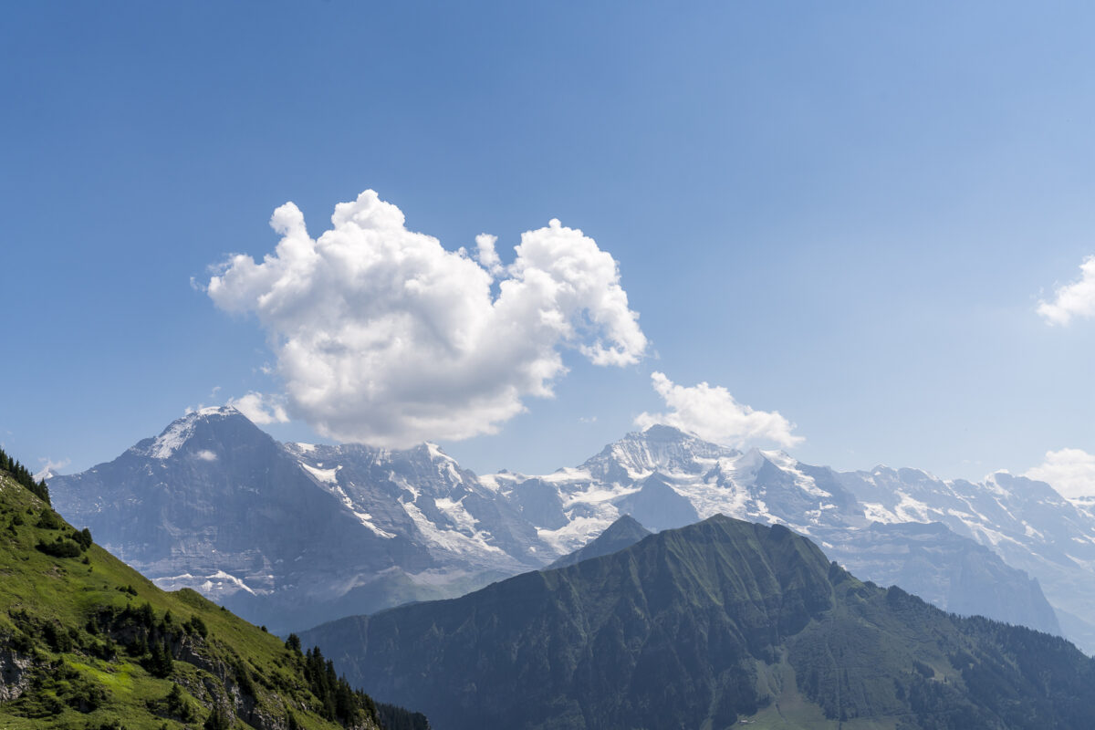
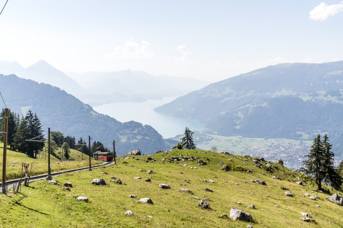
The following ride on the cogwheel railway is as decelerating as possible. The nostalgic train with open-air carriages (which are used when the weather is nice) zigzags its way up the mountain. At first, the route leads through a secluded forest until the panorama slowly begins to unfold at the height of Breitlauenen. On the one hand, the view down towards Lake Thun and Lake Brienz – on the other side, the deeply incised Lauterbrunnen Valley and behind it the well-known triumvirate of the Bernese Alps. Wow!
On the panoramic path to the Tuba viewpoint
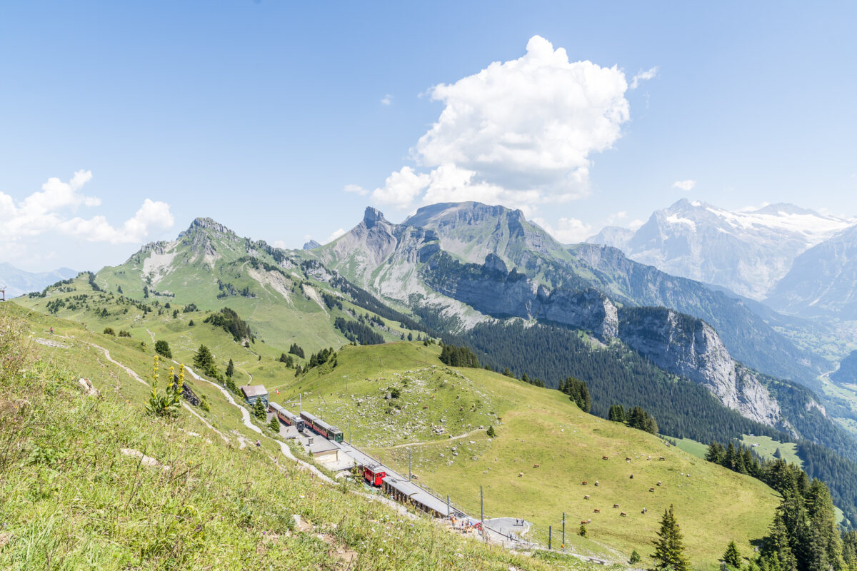
Sweat-free, we reach the mountain station at 1,967 metres above sea level. The various hiking options are signposted here. One of the classics is the mountain tour to the Faulhorn and from there on to Grindelwald. While the tour to the Faulhorn offers 800 metres in altitude and around 3 to 3.5 hours of hiking time, only 340 metres in altitude await us on today’s circular hike on the Schynige Platte panorama trail with a hiking time of less than two hours.
The Panorama Trail can easily be started in both directions. We decide to walk around clockwise and cross the terrace of the panoramic restaurant. There is also a beautiful viewing platform at the back with a view of the rack railway.
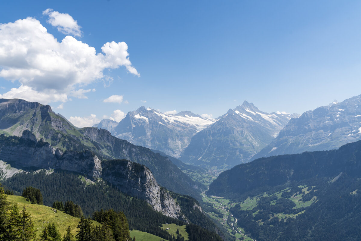
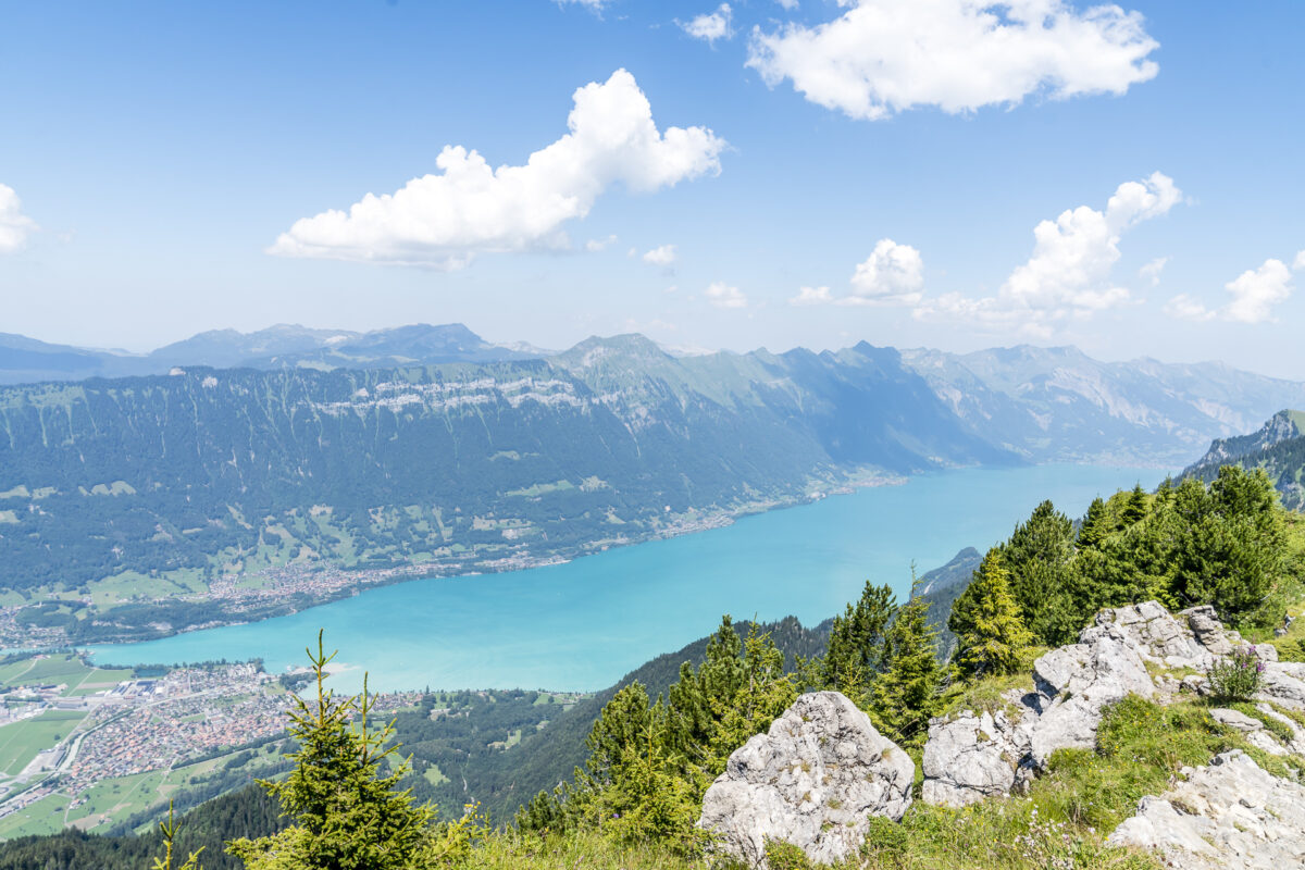
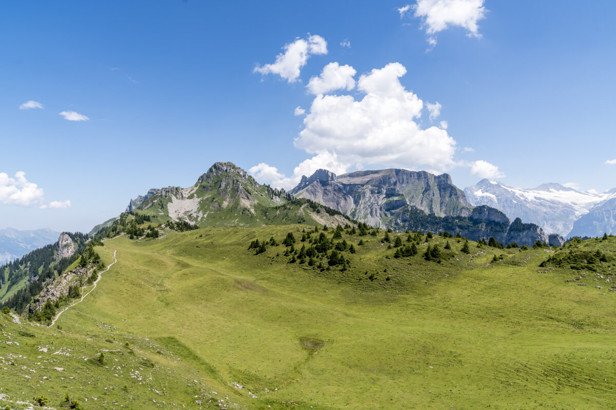
The panorama trail starts with a first short but crisp ascent and then leads along the mountain flank towards Tuba (stave). At 2,067 metres above sea level, the Tuba forms the highest point of the panorama trail and inspires us with a fantastic panoramic view from the Brienzergrat over the Bödeli to the snow-capped peaks of the Eiger, Mönch and Jungfrau.
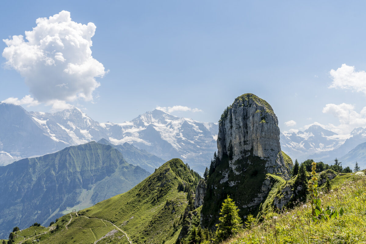
Hiking over the Grätli in the direction of the Loucherhorn
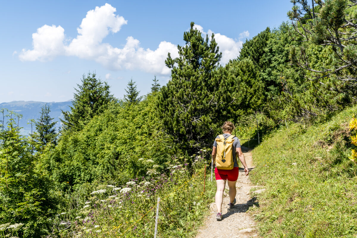
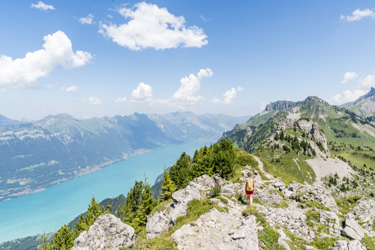
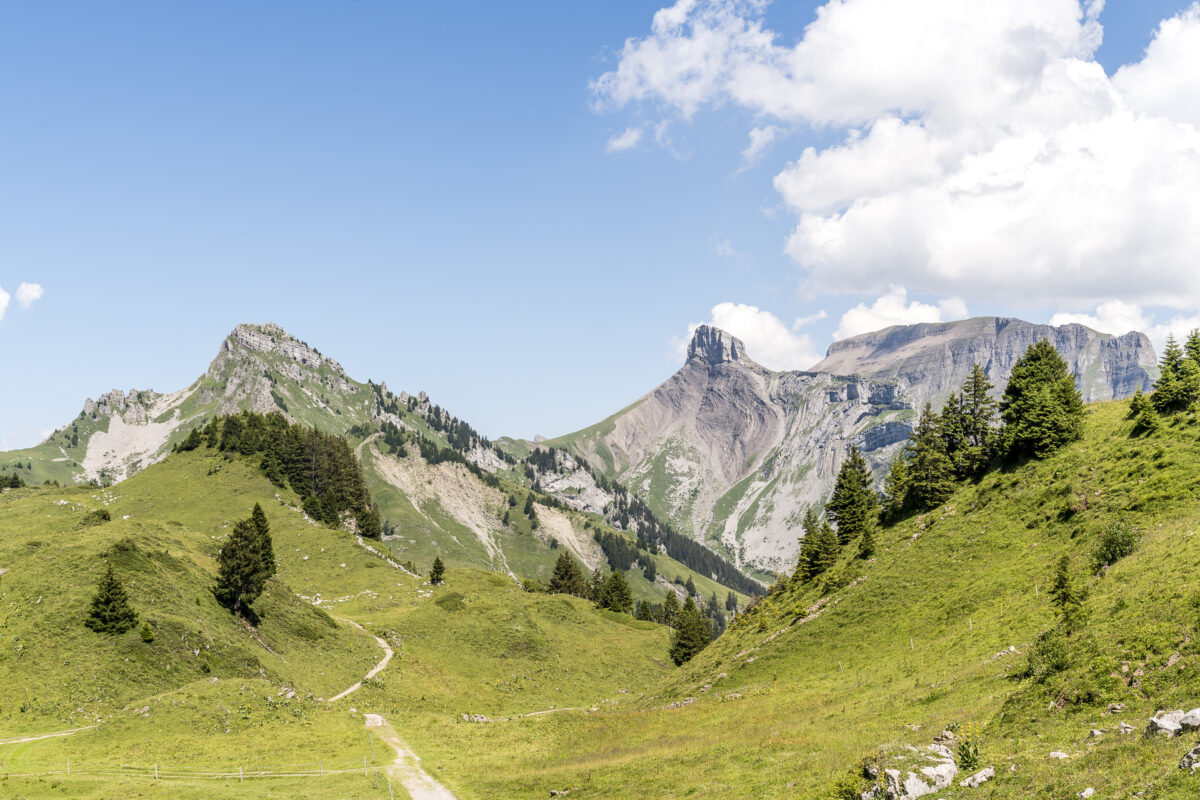
But not only the panorama, but also the further course of the trail makes hikers’ hearts beat faster. At the tuba, a great ridge path starts, which leads towards the Oberberghorn with a view of Lake Brienz. Even if the hike is not technically and physically demanding, it is advisable to choose the right footwear for the round on the panorama trail (stable trail running, trekking or hiking shoes).
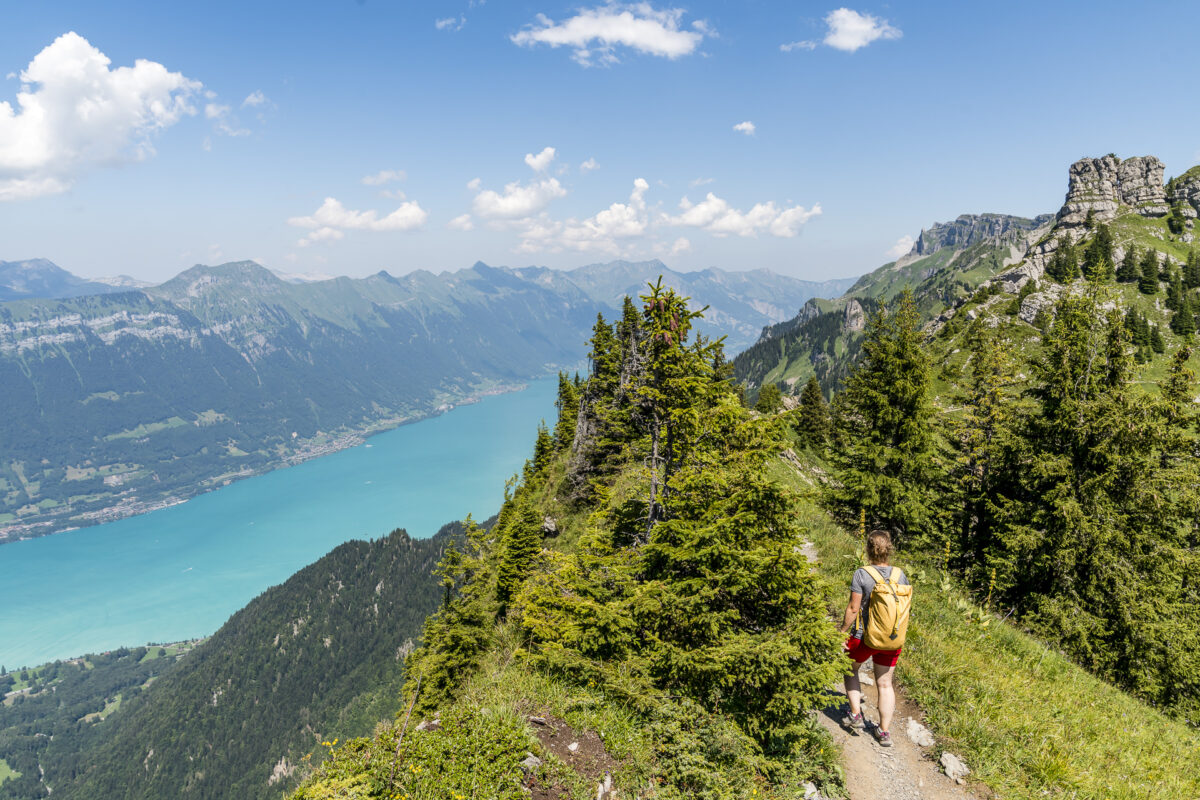
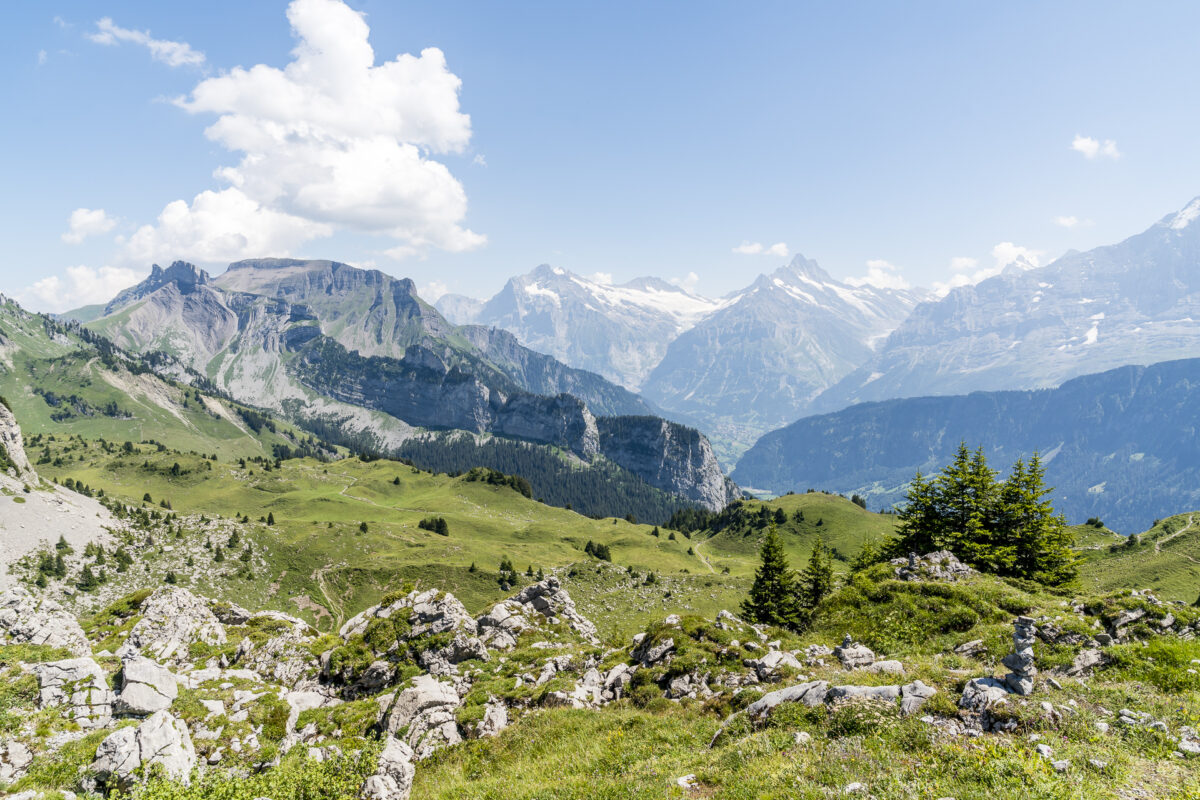
At the foot of the Oberberghorn, the panorama trail bends and continues around the summit towards the Loucherhorn. If you like, you can also enrich the circular hike with a 15-minute ascent to the Oberberghorn. An iron staircase – which looks adventurous from below – leads to its summit. In consideration of the time we have left until the departure of the targeted train, we do without this extra loop.
Shortly before the Loucherhorn, there is also a steep section of stairs on the circular route, which takes us over the Grätli to the junction, where we are steered back towards the Schynige Platte with a sharp right-hand bend (straight ahead we would continue to the Faulhorn).
… and back to the Schynige Platte
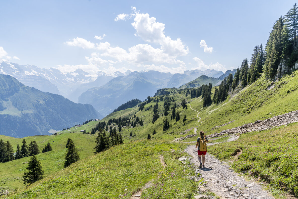
The way back leads comfortably along a relatively wide gravel path over alpine meadows back to the mountain station. In the last 500 metres, there is another ascent of around 60 metres in altitude – but all in all, a scenically varied round that is also easily doable with children or less “mountainous” people. For us, this spontaneous half-day trip to the Schynige Platte was definitely worth it. It seems that now is the perfect time to visit the highlights around Interlaken, which are otherwise well visited by international guests.
Practical tips for your trip to the Schynige Platte
As explained, we made the trip to the Schynige Platte spontaneously when we were there anyway, and it worked out with a ticket purchase on site. If you are planning the trip during the high season and want to be absolutely sure that you will catch the right connection for you, then it is still advisable to buy the appropriate ticket online in advance (purchase possible via the official website of the Jungfrau Region – Print at Home). If you have a Half-Fare travelcard or GA travelcard, you benefit from a 50% discount on the regular price of CHF 64 and pay CHF 32 for the Wilderswil – Schynige Platte – return journey.
The route of the Schynige Platte Panorama Trail can be found on the map below. It is a mountain path (not suitable for strollers), but it is not technically difficult. The circular hike along the 6-kilometre route takes around two hours at a normal/leisurely pace. It took us just under 1.5 hours without breaks.
Directly at the mountain station of the cogwheel railway is the Alpine Garden Schynige Platte, which is also worth a detour depending on the time available.
Key data for the Schynige Platte Panorama Trail hike
| Starting point | Schynige Platte mountain station |
| Length | 5.8 kilometers |
| Elevation gain | ↗ 340 m 340 m ↘ |
| Duration | 2:00 p.m. |
| Destination | Schynige Platte mountain station |
Leave a Reply