


Moorweg Rothenthurm – Biberbrugg: Hike over the Rothenthurm high moor
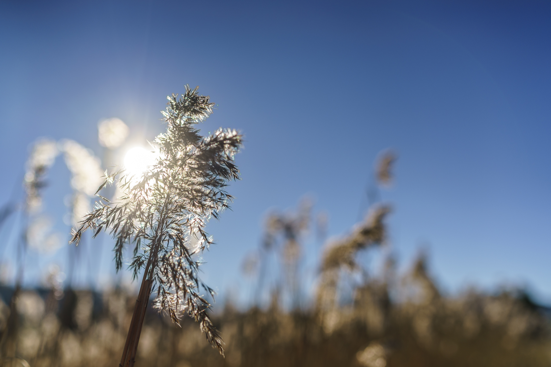
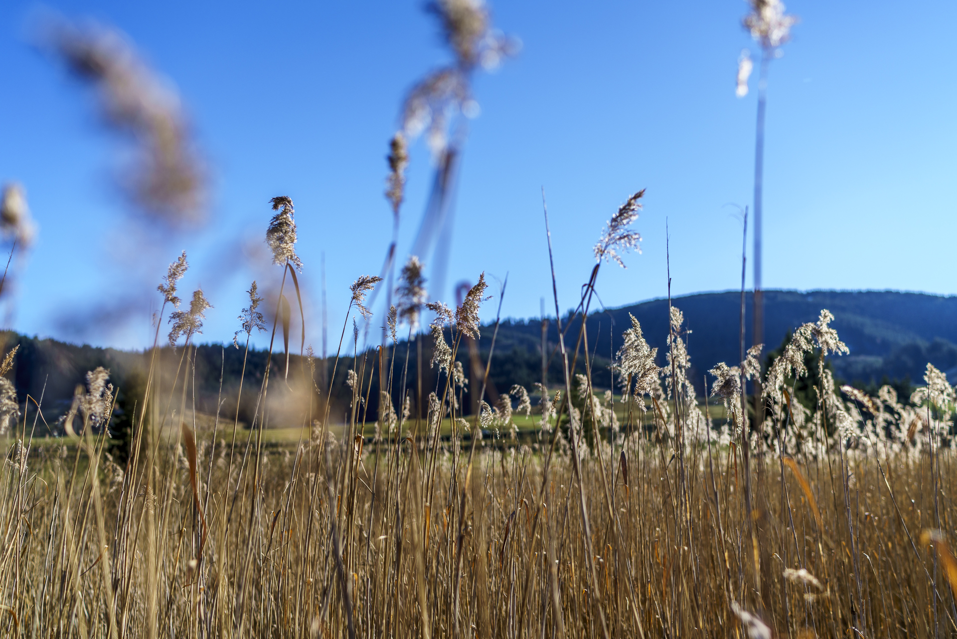
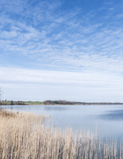
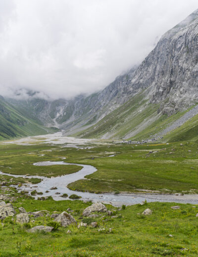
Today there is an excursion tip for all those who want to get rid of the accumulated Christmas pounds before New Year’s Eve (of course, this hiking tip is also just as attractive and recommended for the other 51 weeks of the year). And since this week the most beautiful high-pressure weather is announced, but no snowfall far and wide, it is enough if you make your way to Rothenthurm equipped with light trekking shoes. The Rothenthurm bog is symbolic of the peatland protection initiative adopted by a clear majority of the Swiss population in 1987. Thanks to this statement for the protection of valuable habitats and the preservation of biodiversity, 1,700 raised bogs and fens as well as 89 moor landscapes have now been inventoried and protected. One of them is the “High Valley of the Beavers” between Rothenthurm and Biberbrugg in the canton of Schwyz. With an area of over 100 hectares, it is the largest still existing raised and heath moor in Switzerland.
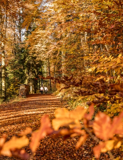
The signposted moor path leads through this fascinating moorland landscape – a mosaic of different habitats – from Rothenthurm to Biberbrugg. A leisurely hike where only the unexpectedly warm rays of the December sun made us sweat. The moor path runs variously over gravel paths, narrow meadow paths and through dense spruce forests. The trails are already prepared for winter use (cross-country ski trails), but as long as there is no snow, the hiking trail is easily accessible throughout.
Before you descend to Biberbrugg, I recommend that you take a seat on a bench at the edge of the forest and enjoy the distant view. In thick fog, it is worthwhile to extend this stopover – equipped with a good book – to several hours.
P.S. For us, the Moorweg Rothenthurm was only intended as a warm-up program for the Einsiedler Christmas market. When we arrived in Einsiedeln hungry and thirsty after the hike, however, we only found the floor markings of the Christmas market stalls. We hadn’t noticed that the Einsiedler Christmas market only takes place on one weekend at a time. Well. So we mixed our own mulled wine at home and wrote down the dates for next year in the agenda as a precaution.


Practical information and tips about the Rothenthurm Moorweg
The route of the Moorweg Rothenthurm can be found on the map below. The distance from Rothenthurm station to Biberbrugg is about 10 kilometres and is mostly flat (133 metres ascent, 232 metres descent). The hiking time is about 2.5 hours (the trail is doable in both directions – if you hike from Biberbrugg to Rothenthurm, you have to climb a little more in altitude). Rothenthurm station can be reached from Zurich in just over an hour with a single change in Pfäffikon SZ. On the way back, it’s worth making a short stop in Einsiedeln (even if it’s not the Christmas market). In winter, winter hiking trails and cross-country ski trails are signposted on the plain between Rothenthurm and Biberbrugg – freshly snowed in is certainly a great backdrop for a walk in the fresh air.
Key data of the hike over the Rothenthurmer Moor
| Starting point | Rothenthurm Railway Station |
| Length | 9.9 kilometres |
| Elevation gain | ↗ 133 m 232 m ↘ |
| Duration | 2:28 p.m. |
| Destination | Biberbrugg Railway Station |
Leave a Reply