



3-day hike in Graubünden: From Sufers via the Cufercalhütte to Vals
This varied 3-day hike leads from Sufers via the Cufercalhütte and the Turrahaus to Vals. Away from the well-known hut tours in Graubünden, the Beverin Nature Park offers you lonely mountain landscapes, hidden alpine lakes, scenic pass crossings and two very different overnight locations. Another plus: since the second stage stop in Turra is reachable by PostBus, the tour can be shortened to two days or individually adapted if needed.
Day 1: From Sufers to the Cufercalhütte
We had actually planned to follow the Alpepässeweg from Splügen over the Safierberg into theSafiental but because of the high summer temperatures we looked instead for a slightly higher three-day alternative in the region and came across the Cufercalhütte. It is the only SAC hut in the middle of theNaturpark Beverin and proved to be a real stroke of luck for us. There are various approach routes to the hut, including from Wergenstein, Andeer or Sufers. We chose Sufers, the northernmost village in the Rheinwald just before the Splügen Pass. From here the approach is the shortest.
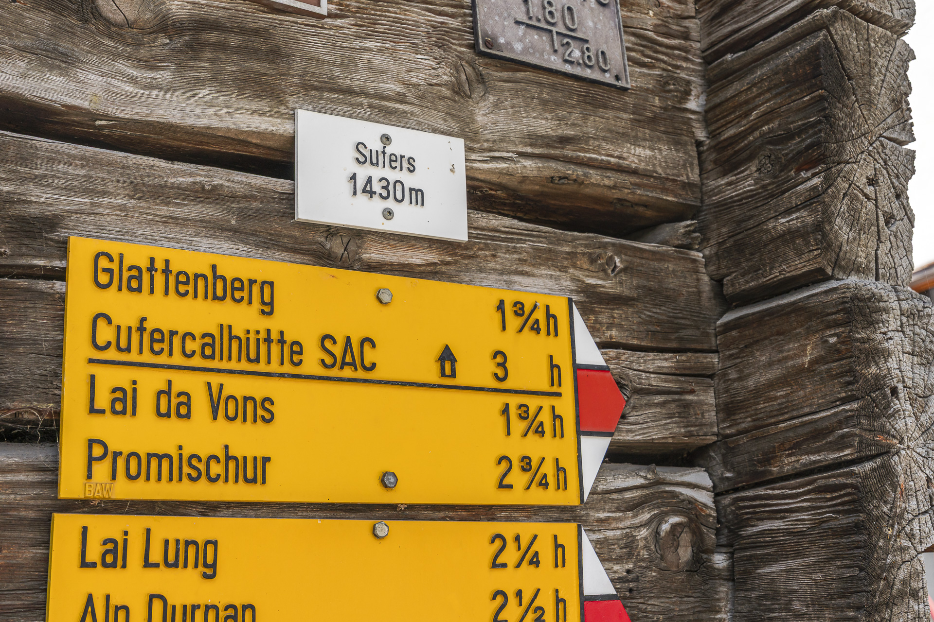
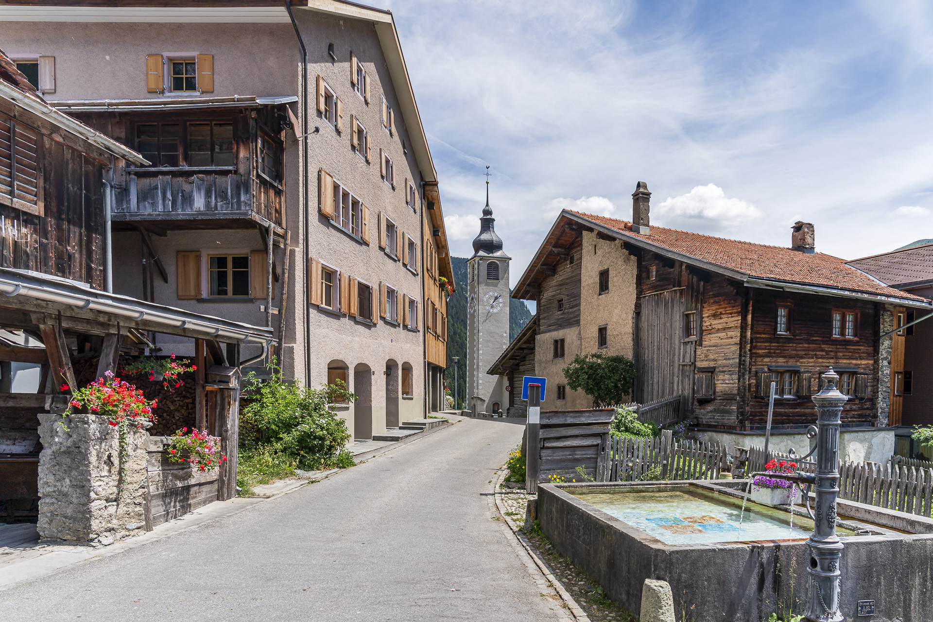
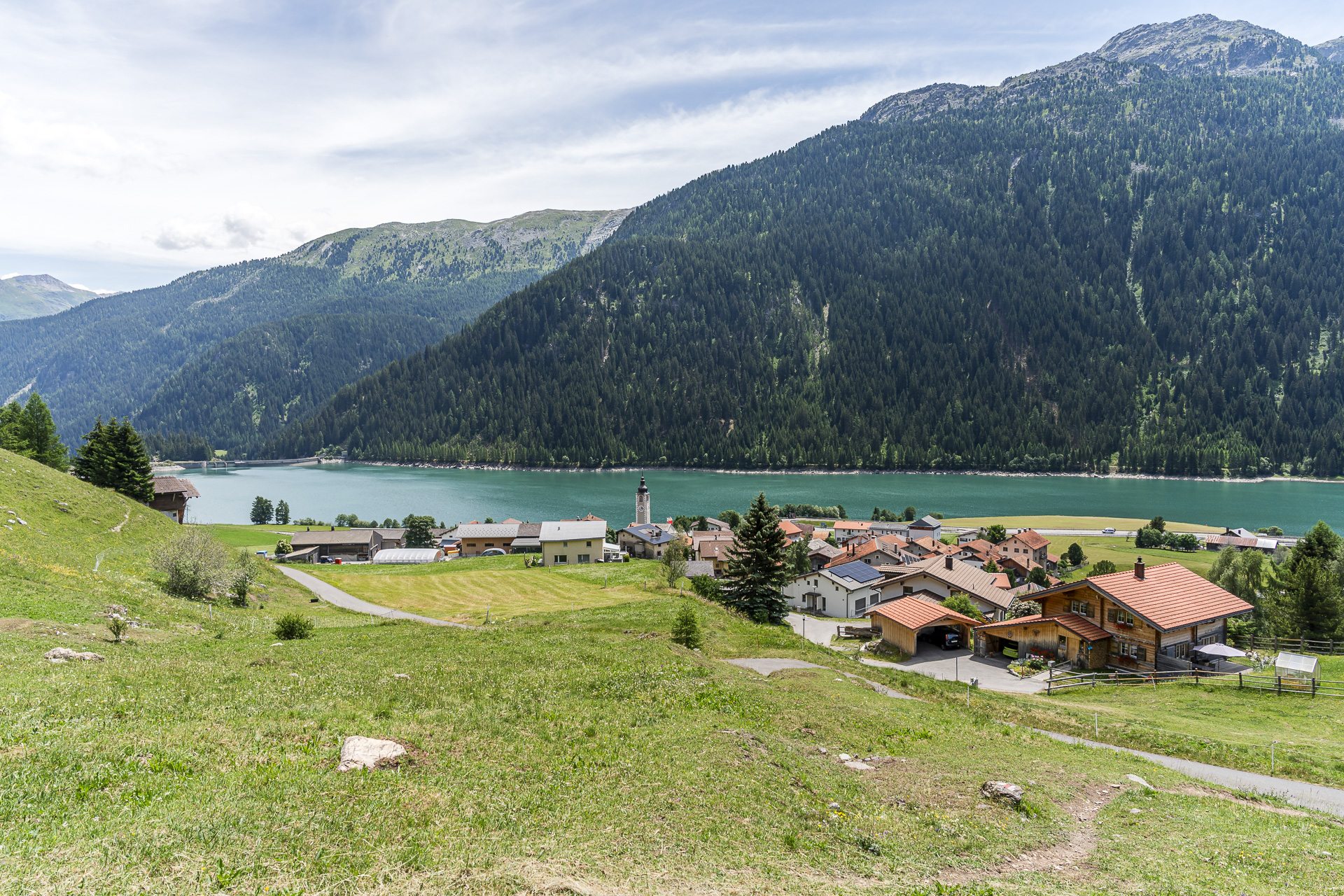
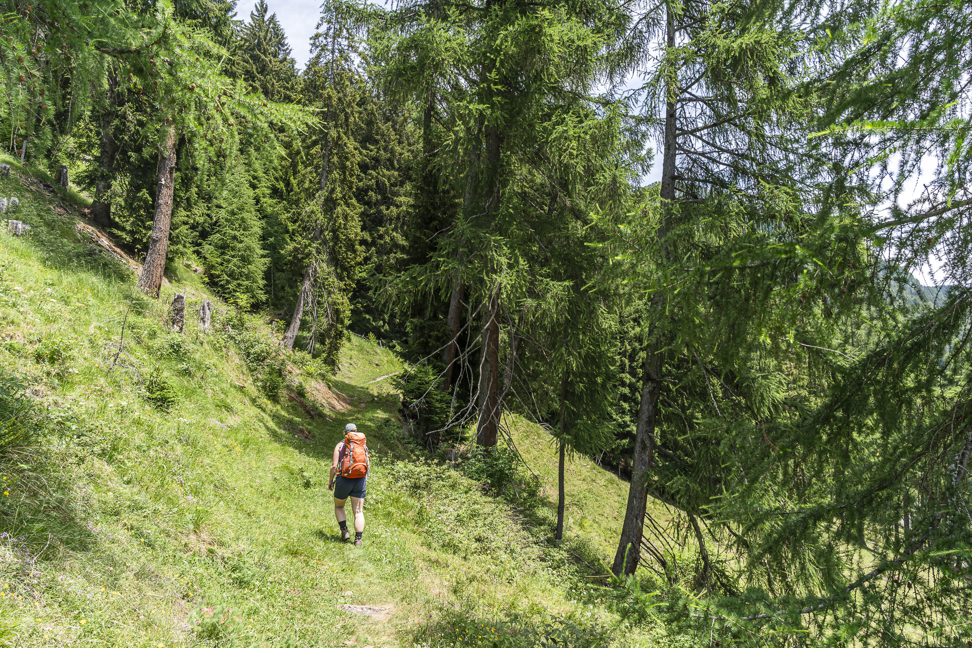
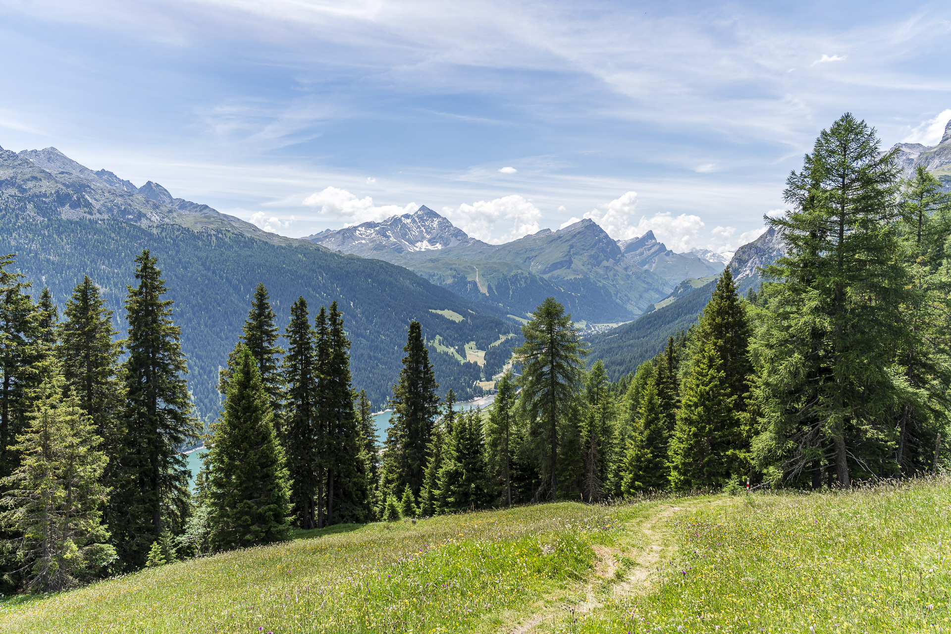
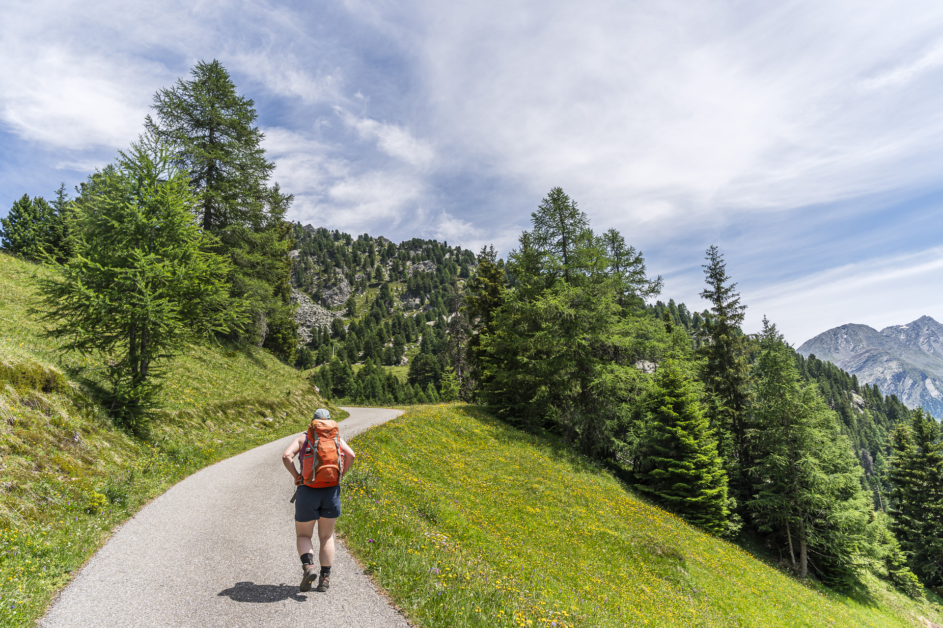
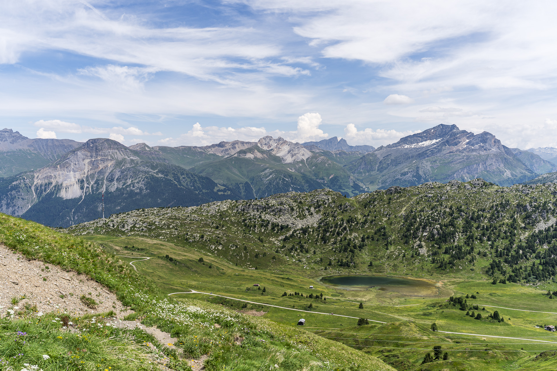
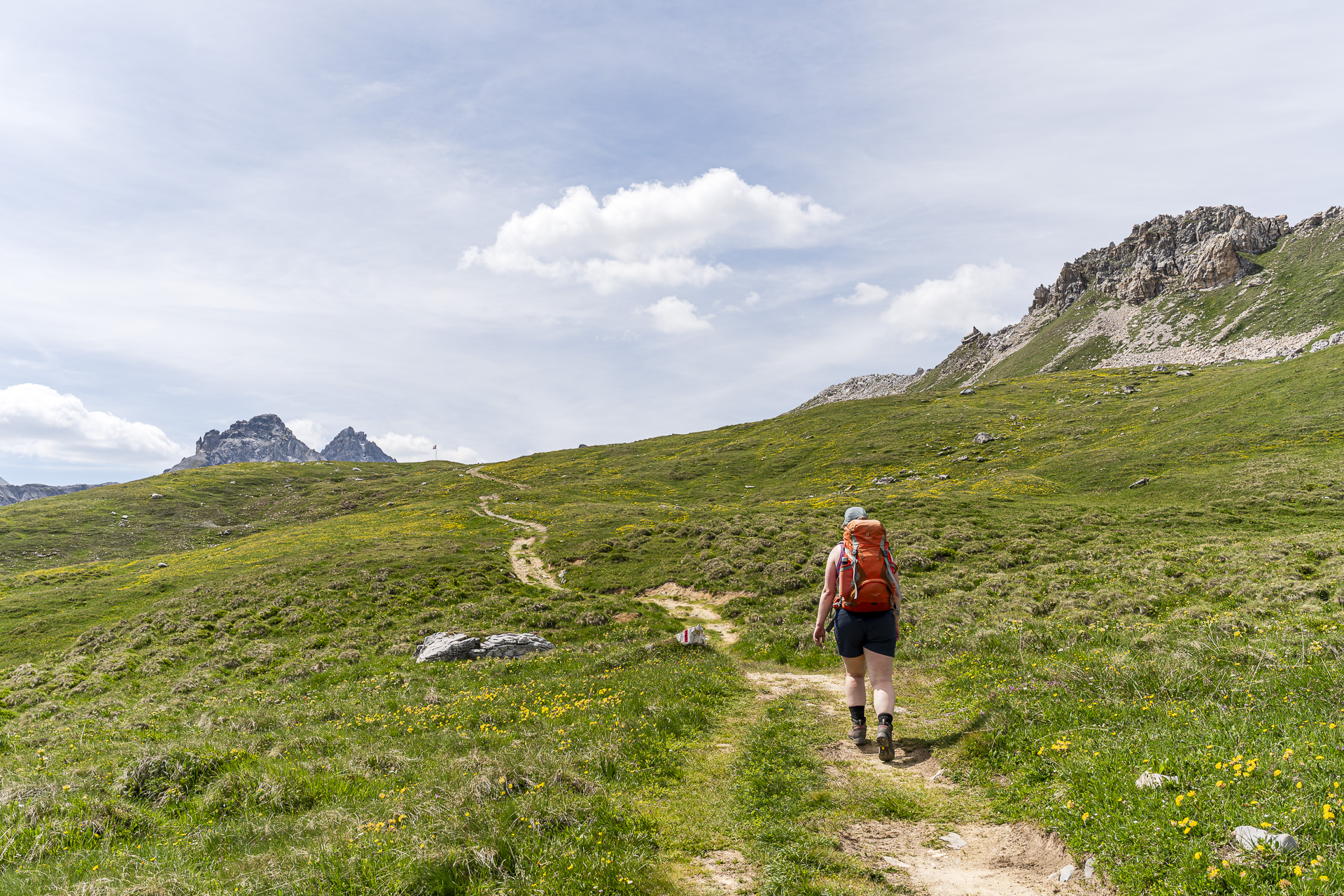
The PostBus stops directly on the A13 below the village. From the stop a paved lane leads up to the village center. There the signpost indicates an ascent time of three hours to the Cufercalhütte. At the next fork, however, we first follow the sign toward Lai da Vons. The first good hour leads through a light mountain forest up to the Seebärga plateau, where the Lai da Vons is also located. There the view opens up for the first time over the surrounding mountain world. The lake itself does not lie directly on our route and we skip the detour. A little higher up there is a nice view over the Lai da Vons and the mountain panorama beyond. Technically the path is not demanding, apart from some steeper sections. Only the steady elevation gain slowly makes itself felt in the thighs.

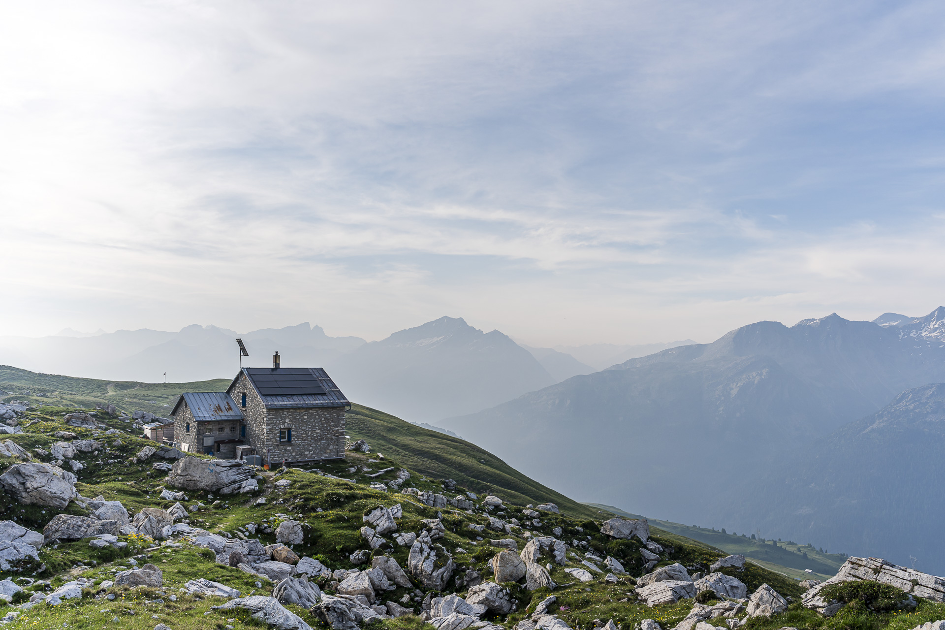
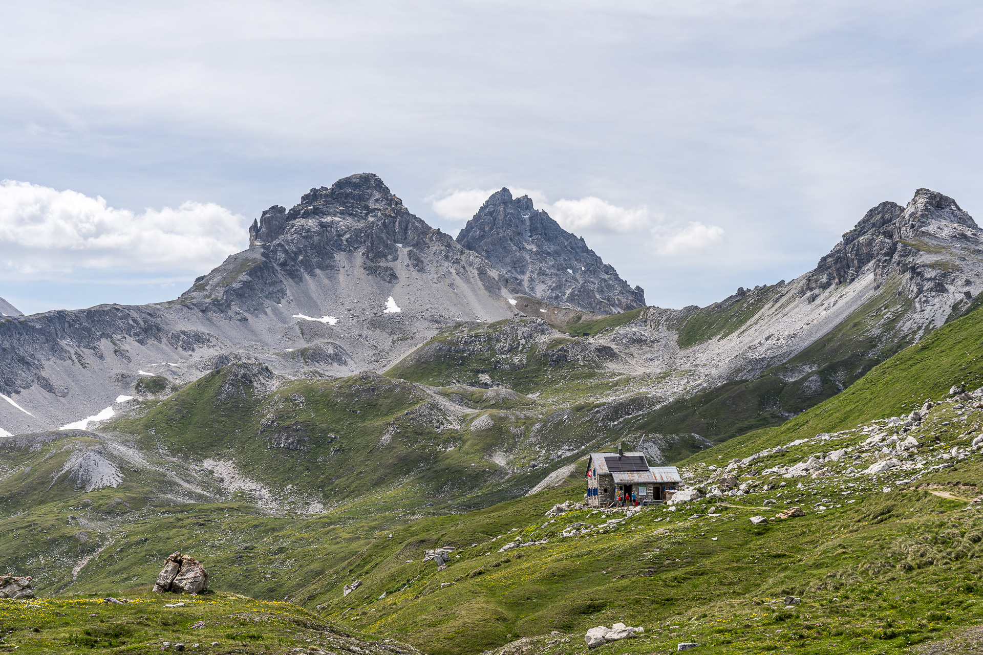
After just under 2.5 hours we spot a Swiss flag fluttering in the wind ahead of us. Now the destination can’t be far. Indeed, the hut appears a few minutes later behind a rise. With its 20 sleeping places spread over two dormitories it is small but extremely cozy. The Cufercalhütte also scores points with loving details: coffee is brewed the classic way in a Bialetti and for refreshment there is a large selection of homemade syrups. Despite the wonderful mountain weather, we are surprised at how quiet the hut is. In total only six people, including us, have signed up to stay the night. That means we have one of the two dormitories entirely to ourselves and enjoy a wonderfully quiet and pleasantly cool night after the hot day of hiking.
Key facts for the hike Sufers – Lai da Vons – Cufercalhütte
The following hiking map shows the route from Sufers via the Lai da Vons to the Cufercalhütte. The tour is consistently signposted as a white-red-white marked mountain trail (T2) and has no exposed or technically demanding sections. Between Foppa and Seebergä the route runs for about one kilometer on a paved lane.
Tip: From late June to mid-October the Alpin bus from Sufers to the Lai da Vons also runs twice daily on Saturdays and Sundays (reservation required; the phone number can be found in the SBB App). From there it’s still about 1½ hours and 400 meters of elevation gain to the Cufercalhütte. This makes the tour well suited for families with small children.
| Starting point | PostBus stop Sufers, Underem Dorf (1,420 m a.s.l.) |
| Accessibility | Starting point accessible by public transport |
| Length | 6.2 kilometers |
| Elevation gain | ↗ 985 m ↘ 12 m |
| Duration | 3:00 h |
| Destination | Cufercalhütte (2’385 m a.s.l.) |
| Refreshment options | no refreshment options along the route |
Day 2: From the Cufercalhütte to the Berggasthaus Turrahus in the Safien Valley
We start the second day with a typical mountain-hut breakfast. Bread, jam, cheese and muesli — nothing is missing. Then we lace up our hiking boots and set off early. Thunderstorms are forecast for the afternoon. Our goal, therefore, is to reach the second overnight stop beforehand.
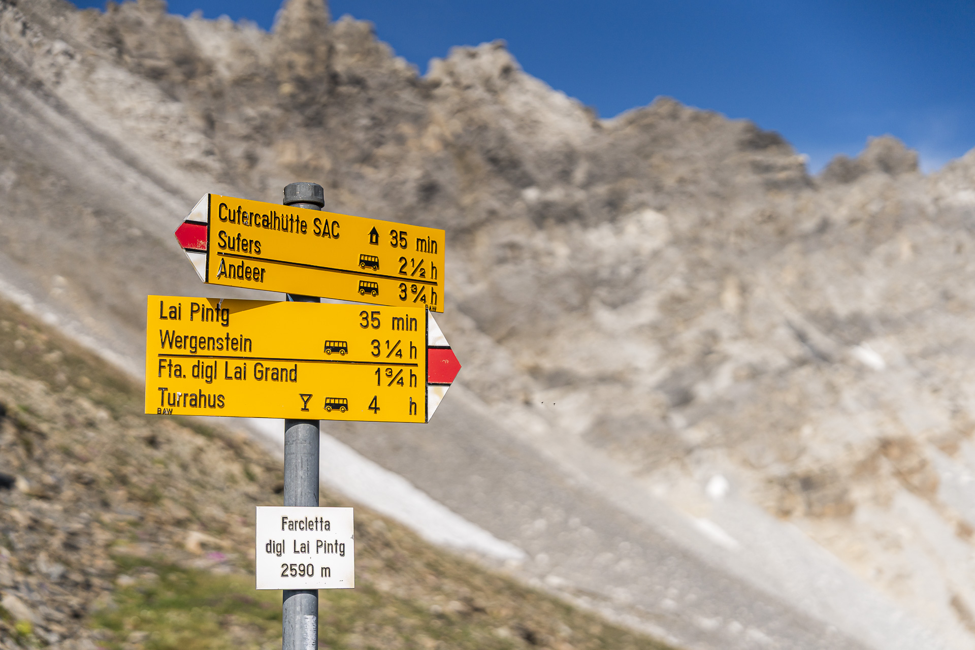
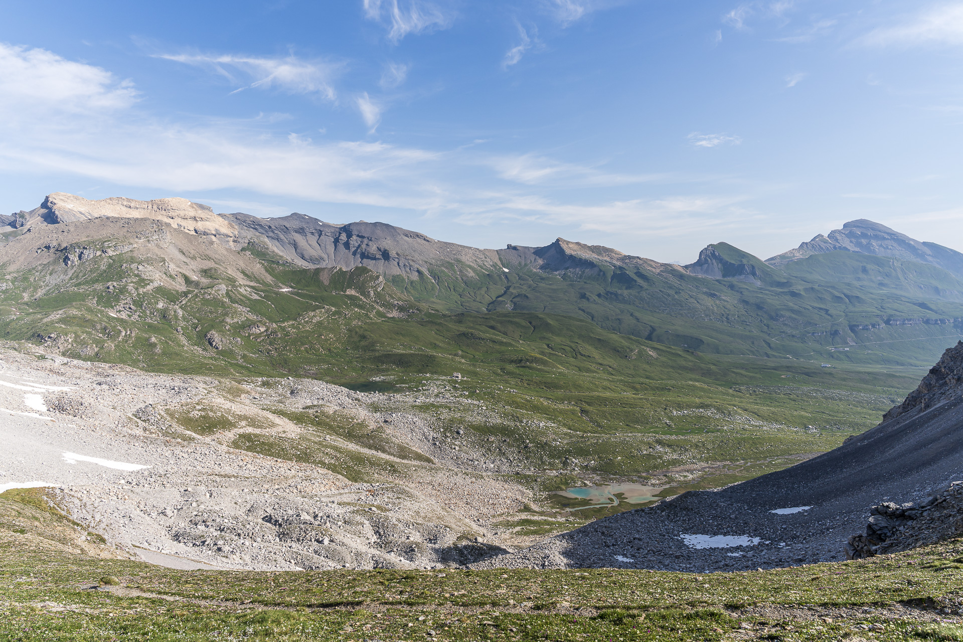
Thanks to the signpost directly in front of the hut, there is no doubt where the path leads. First up are around 200 vertical meters to the Farcletta digl Lai Pintg. We hope to spot one or two ibex on the shady north-facing slopes at the foot of the Cufercalhorn. The Beverin Nature Park is home to a colony of around 350 ibex, and altitude-wise we are right in the middle of their territory. But today luck is not on our side. Instead, the landscape shows itself in the gentle morning light at its very best.
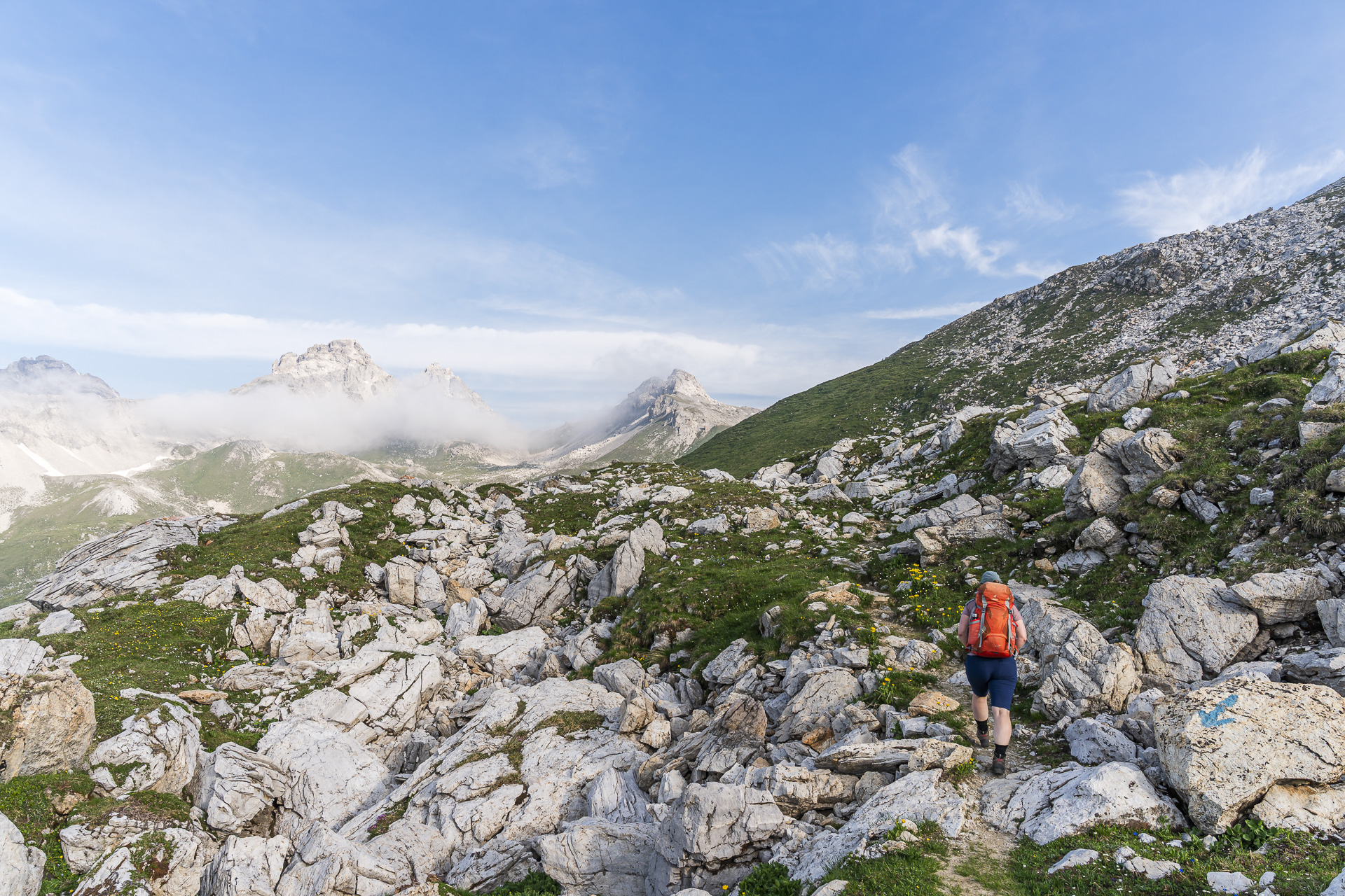
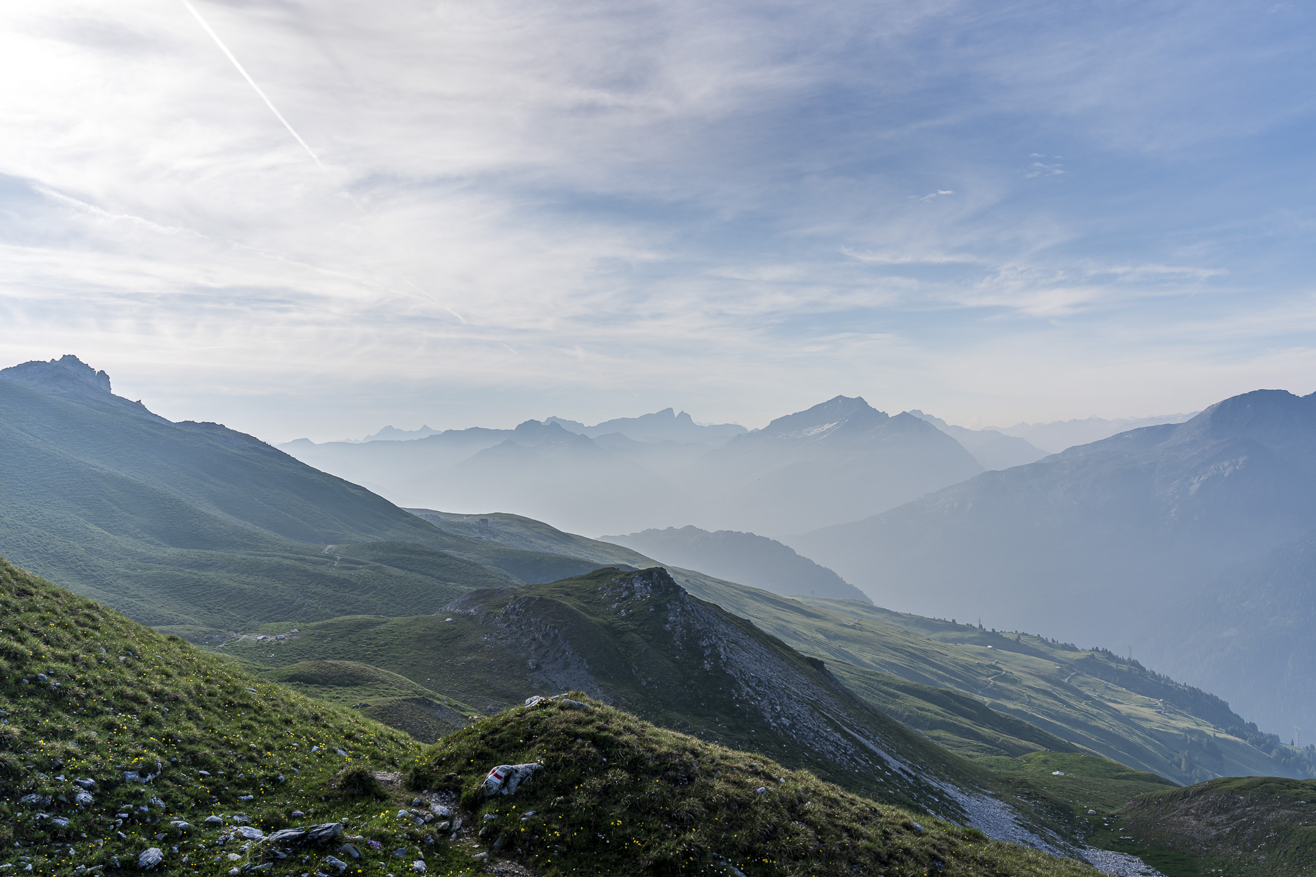
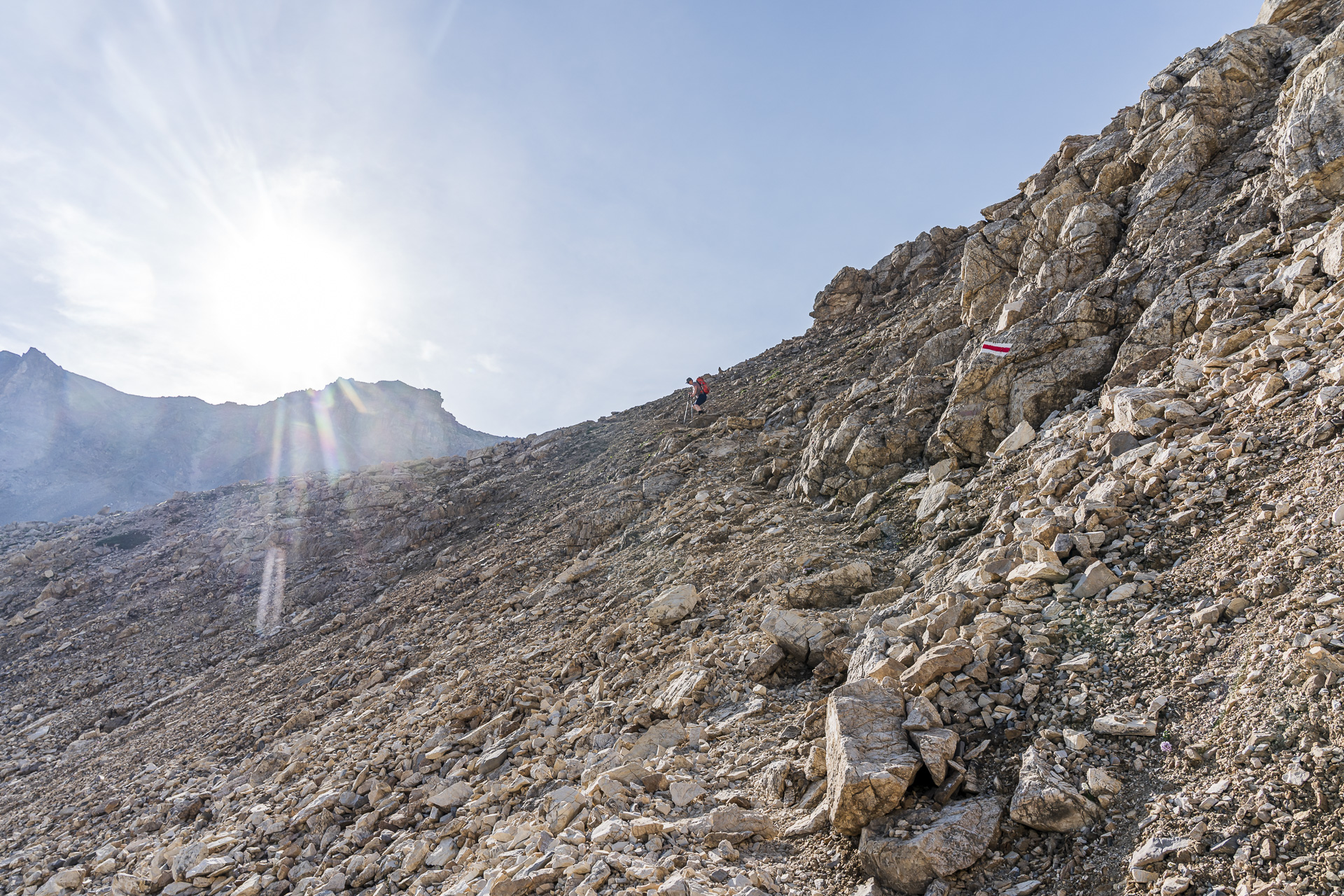
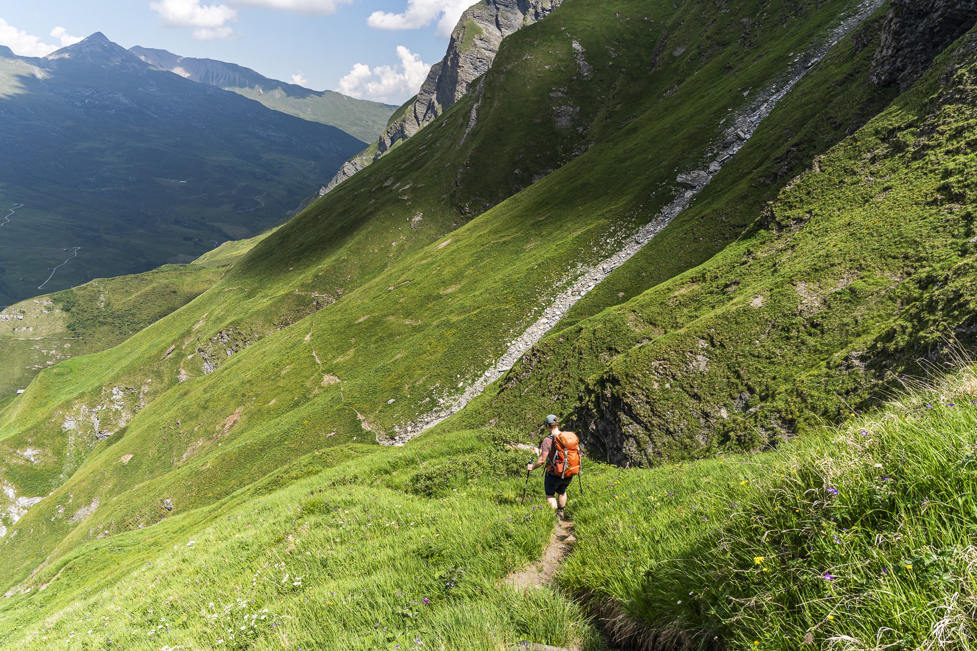
The roughly 45-minute ascent along the well-marked mountain trail to the pass is an ideal warm-up, because the next section is considerably more demanding. As far as the Lai Grand, we have to descend over steep scree and cross boulder terrain. I’m glad I packed my trekking poles and make my way carefully down the slope.
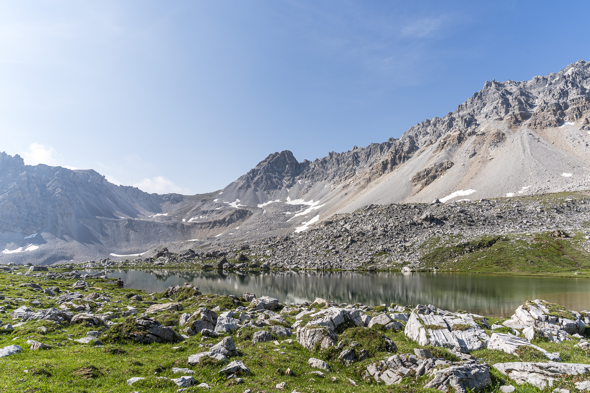
After a short breather at the idyllic Lai Grand, the second pass crossing of the day is already at hand with the Farcletta digl Lai Grand. At the same time we are now on the Via Capricorn. The multi-day hike signposted as route number 693 runs from Wergenstein in three stages through the “Steinbockland” of the Beverin Nature Park.
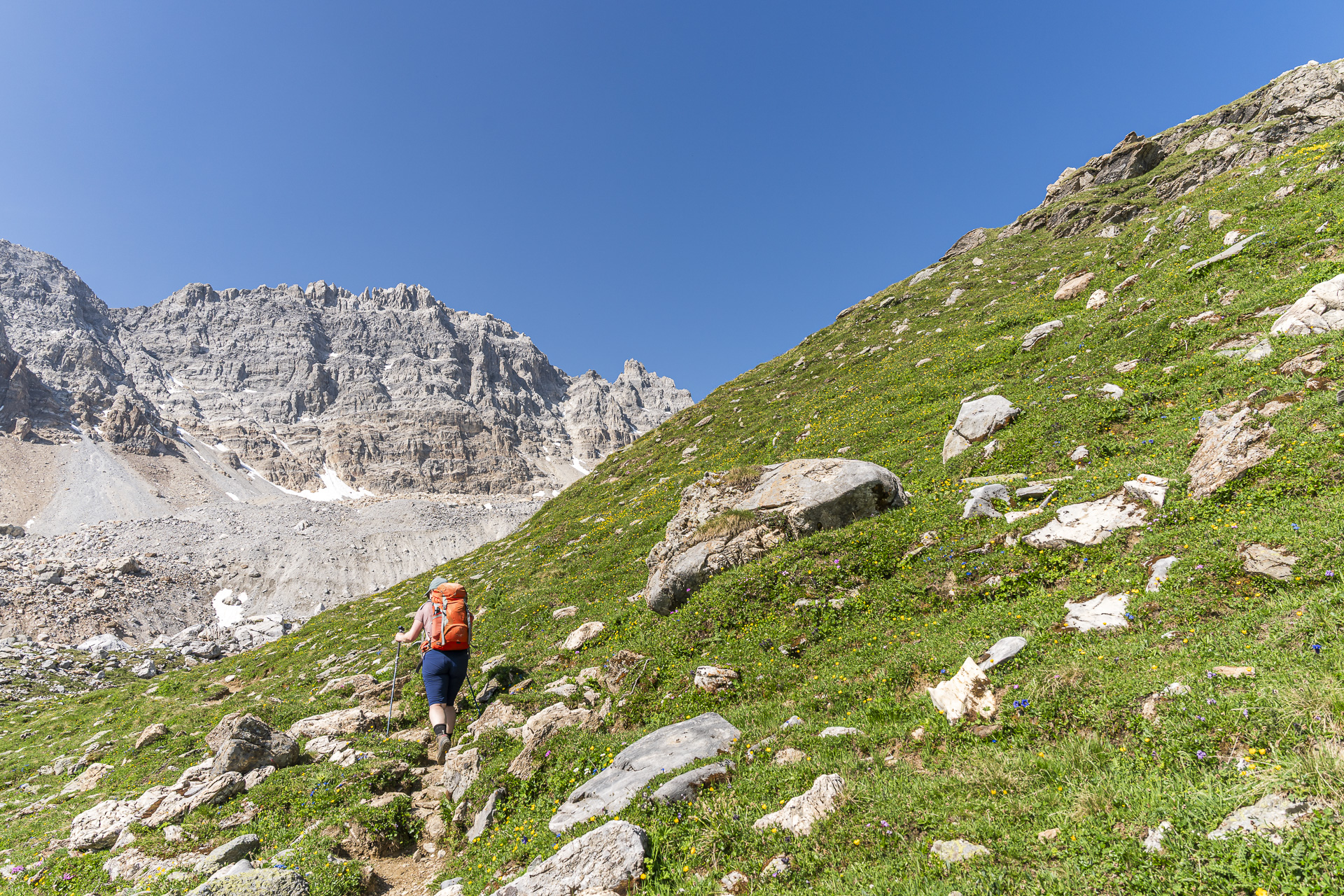
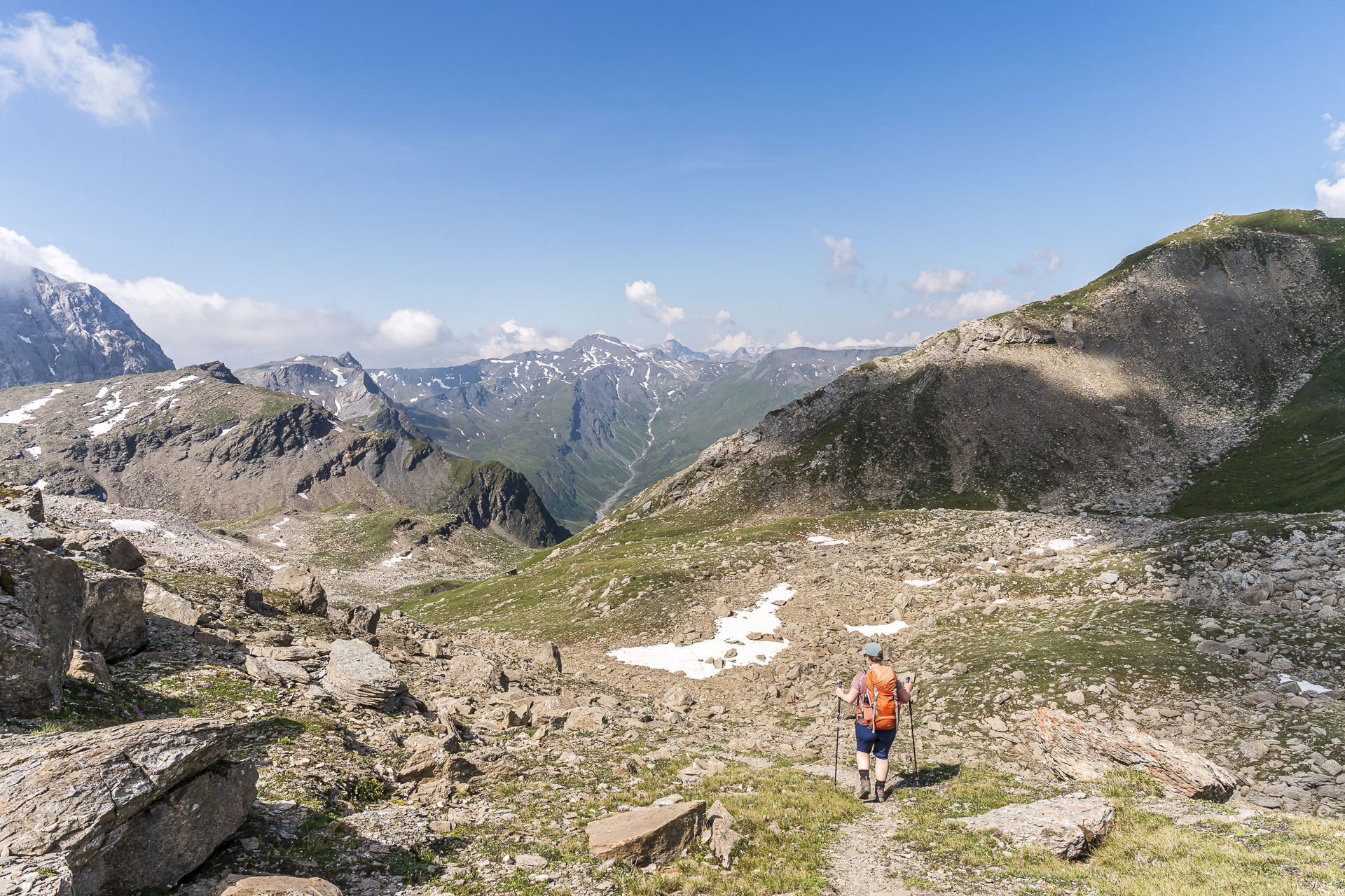
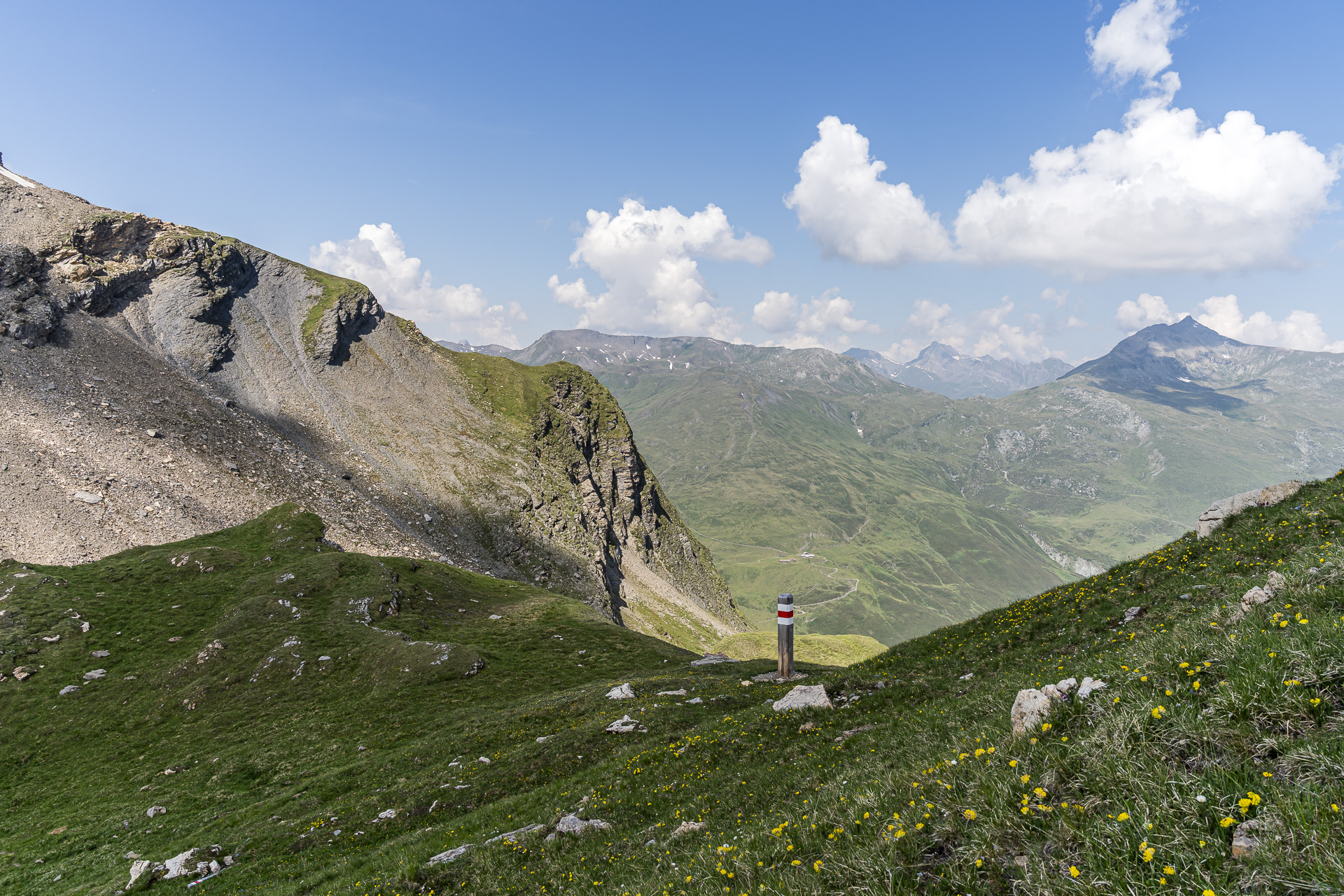
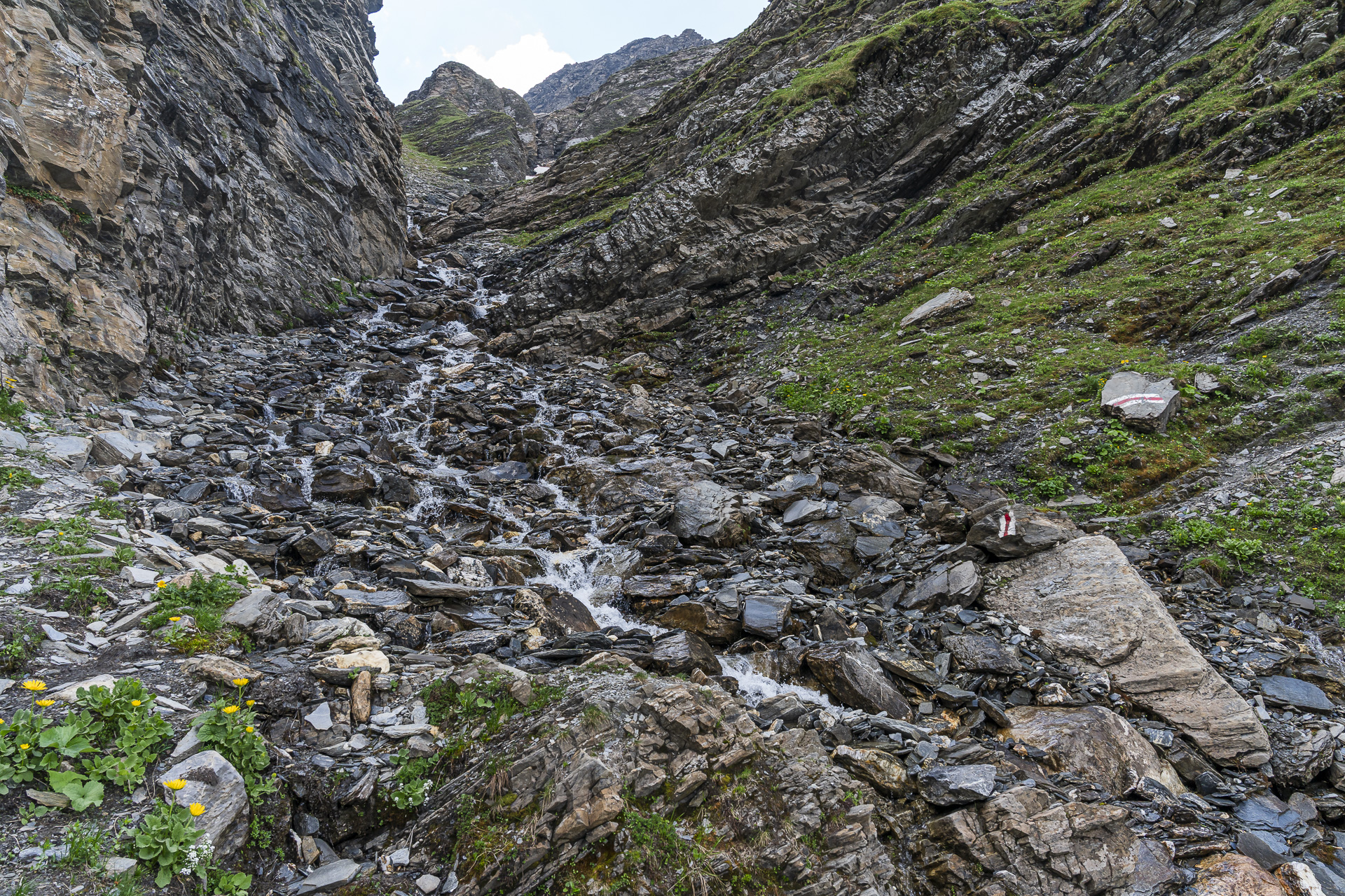
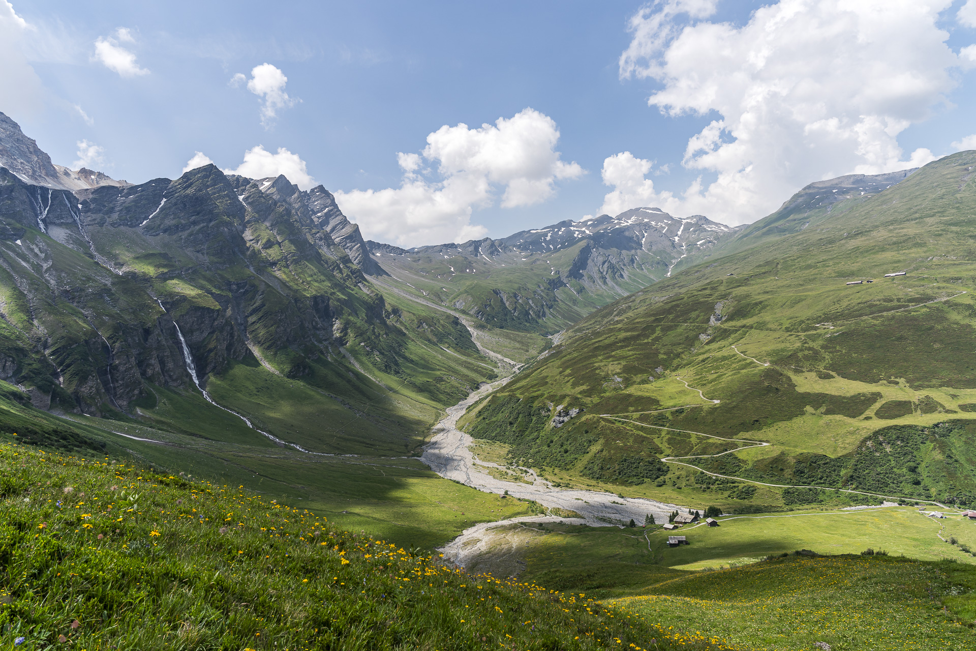
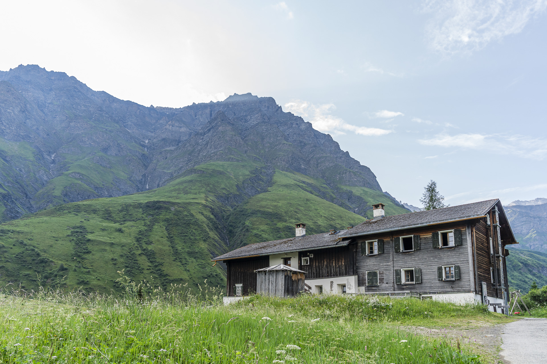
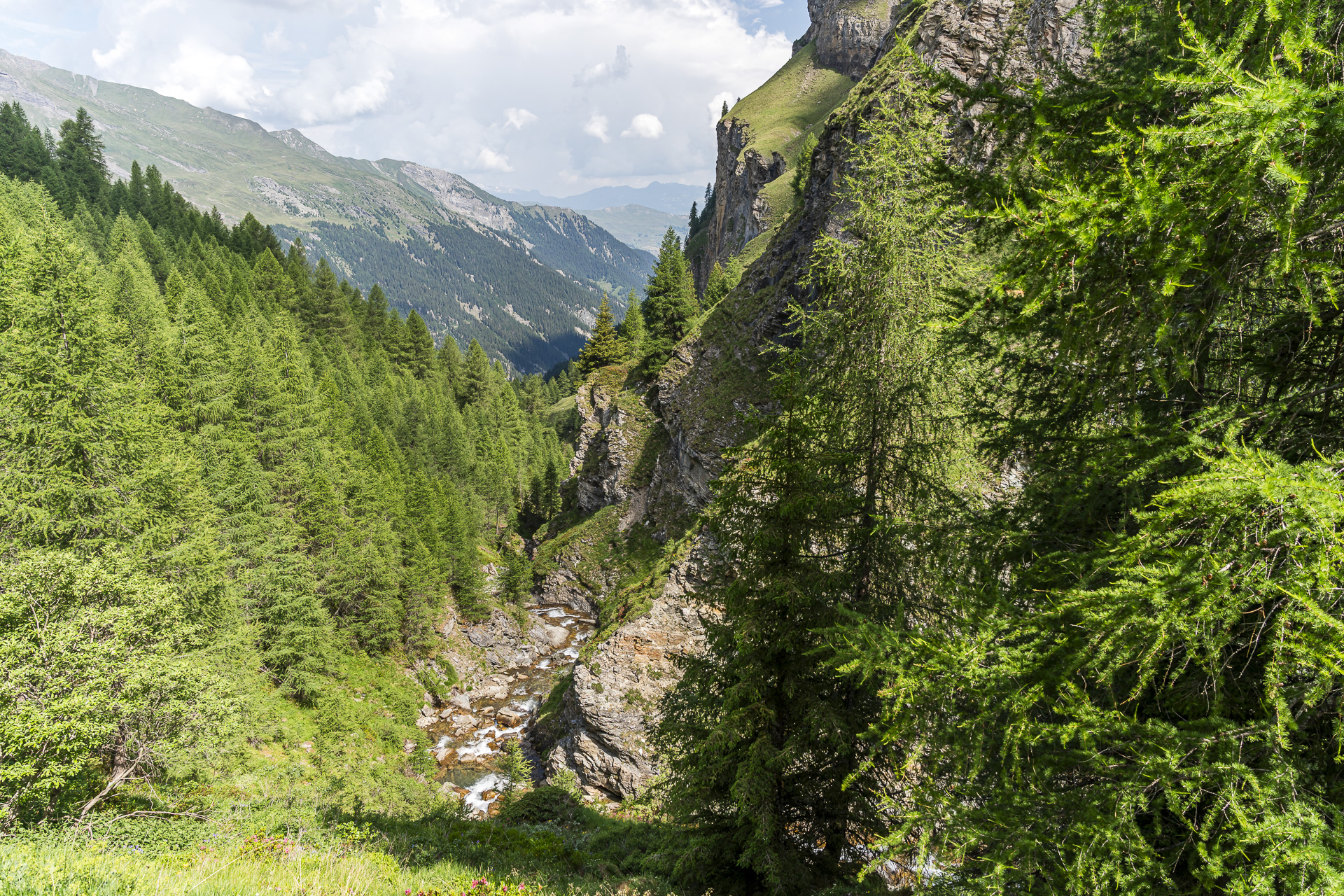
Once the pass summit and thus the highest point of the tour at 2’661 m a.s.l. is reached, the long descent begins into the valley floor of the Safien Valley, 880 meters lower. It can stretch out quite a bit in places. In the “Höllgraba” section sure-footedness and a head for heights are required. Between steep rock walls and a loudly roaring waterfall the path leads downhill over boulders. As a reward, a wonderful postcard view of the head of the Safien Valley finally opens up, before we look forward to a well-deserved shower at the Berggasthaus Turrahus.
Key facts for the hike Cufercalhütte – Lai Grand – Turra
The following hiking map shows the route from the Cufercalhütte via Farcletta digl Lai Grand into the Safien Valley. The tour is signposted throughout as a white-red-white marked mountain hiking trail (T3). Between the Farcletta digl Lai Pintg and the Hölloch you will encounter stretches of technically more demanding terrain where the path is not continuously visible. For this stage sure-footedness and a head for heights are therefore required.
Tip:The Turrahus is located directly next to the rearmost PostBus stop in the Safien Valley. This makes the route presented here as a 3-day hike flexible: the first two stages can, depending on your time budget, also be undertaken as a 2-day hike. The third stage from the Turrahus over the Tomül Pass to Vals is also ideal as a standalone day hike.
| Starting point | Cufercalhütte (2’385 m a.s.l.) |
| Accessibility | Destination reachable by public transportation |
| Length | 12.3 kilometers |
| Elevation gain / loss | ↗ 607 m ↘ 1,297 m |
| Duration | 4:40 h |
| Destination | Mountain inn Turrahus (1,695 m a.s.l.) |
| Places to stop | No places to stop along the way. |
Day 3: From Turra via the Tomül Pass to Vals
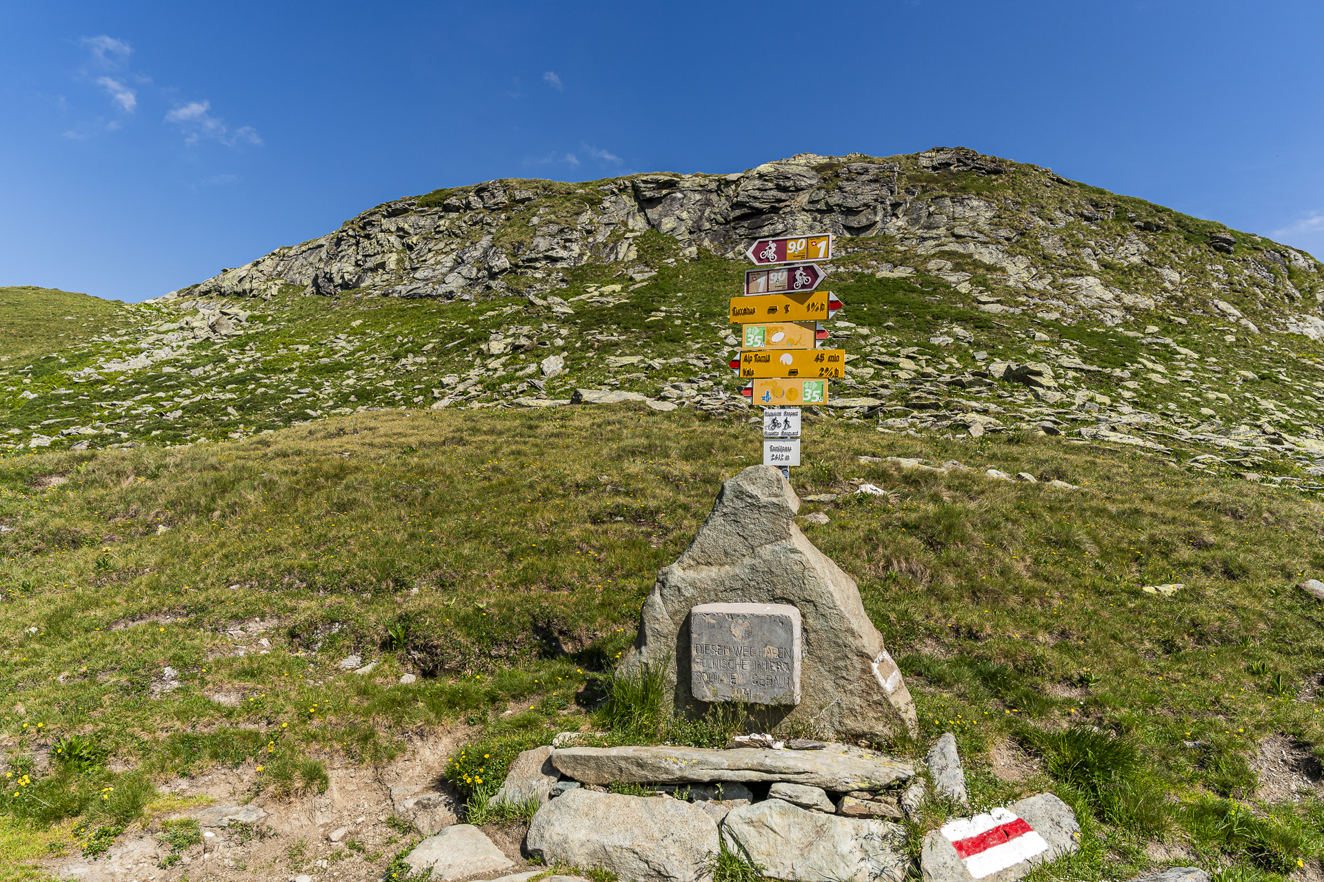
Today the Tomül Pass is a classic among alpine pack routes on the itinerary. It forms the only direct connection between the two Walser communities Safien and Vals. And although one might assume that there were active trade relations between the two communities, the route has always had more significance for tourism than for commerce. Today it is part of the Walserweg Graubünden.
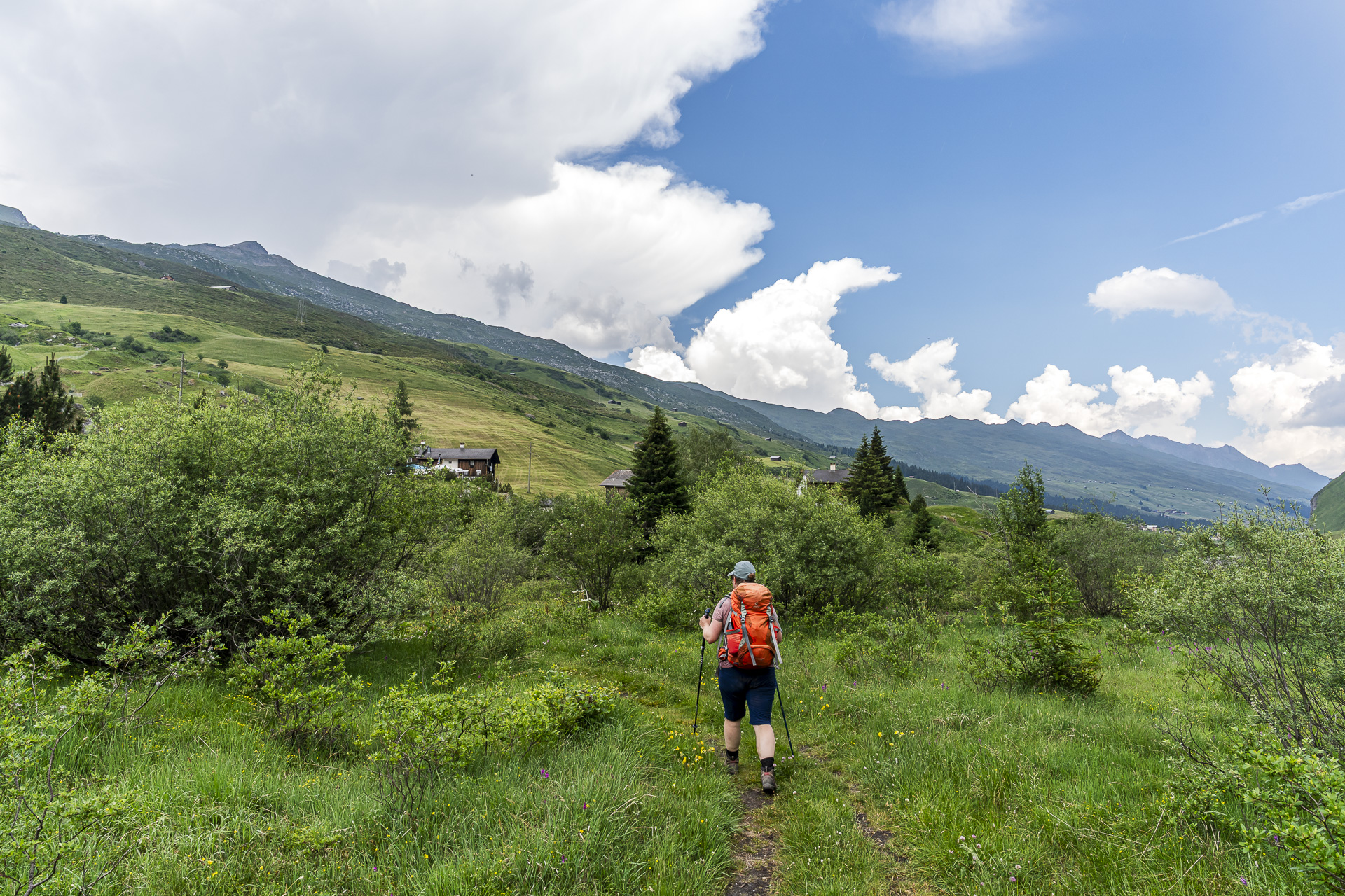
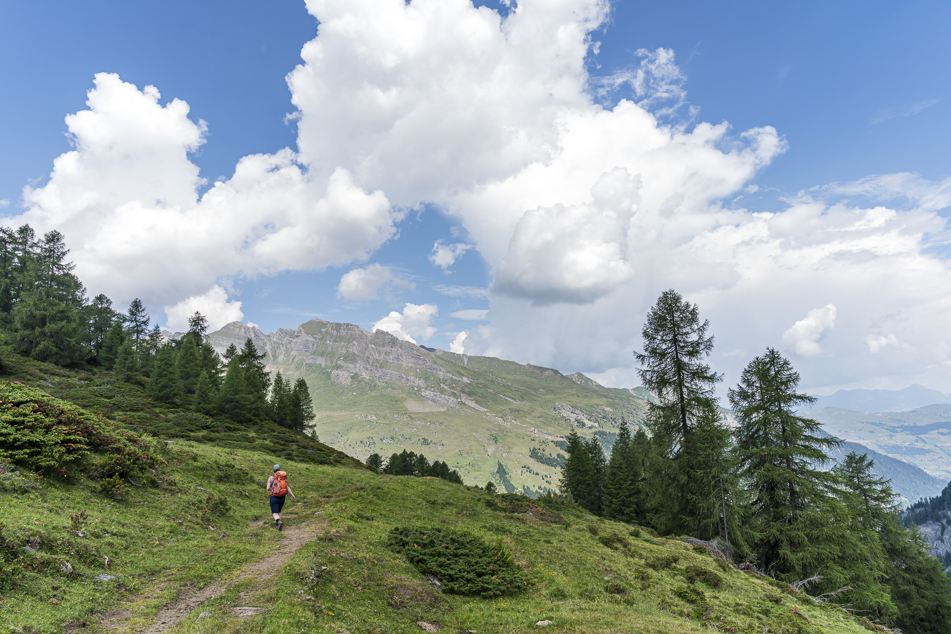
The forecast thunderstorms make us set off early once again, which pays off in two ways. For one, as we climb toward the Tomül Pass we enjoy a magnificent panoramic view over the Safien Valley. For another, we still benefit from pleasantly cool temperatures and the shady sections of the trail. And—unfortunately it doesn’t really come across in the photos—the slopes in the upper Safien Valley were, at the time of our tour at the end of June, literally carpeted with blooming alpine roses.
The route over the Tomül Pass is consistently excellently developed and hard to miss. We “owe” this to the Polish internees, who carefully laid out the trail in the terrain during World War II (for more background information on the “Polenweg” see here: Tomülpass). In recent years the historic pack route has been restored under heritage conservation supervision, also with a view to its long-term use. Today it is signposted both as a hiking trail and as a mountain-bike route.
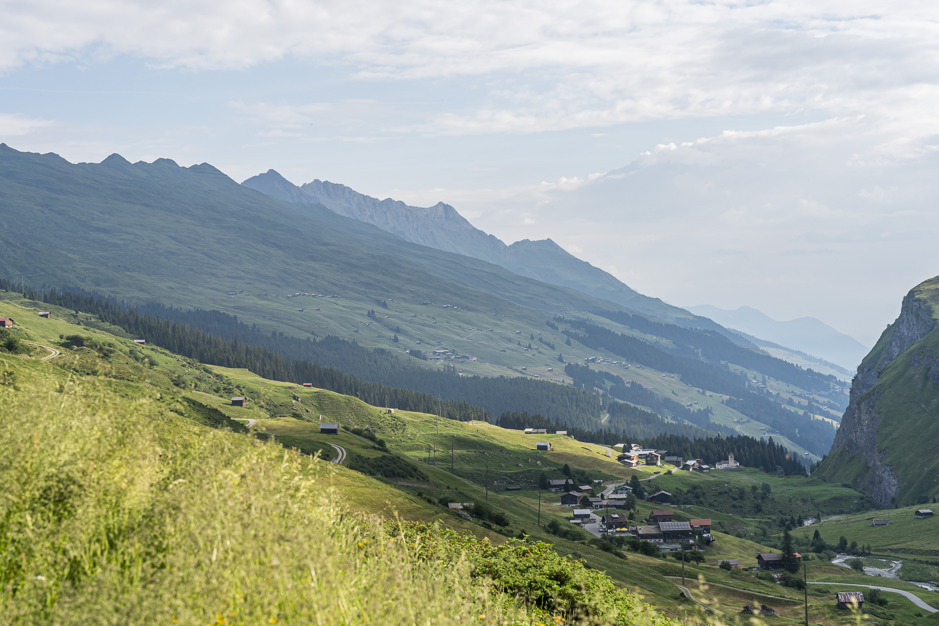
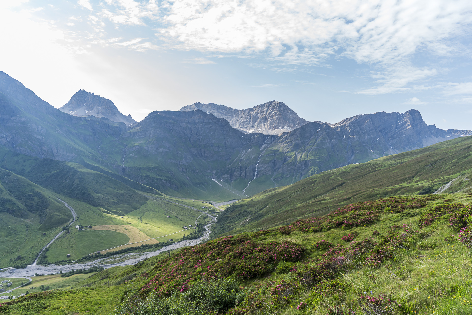
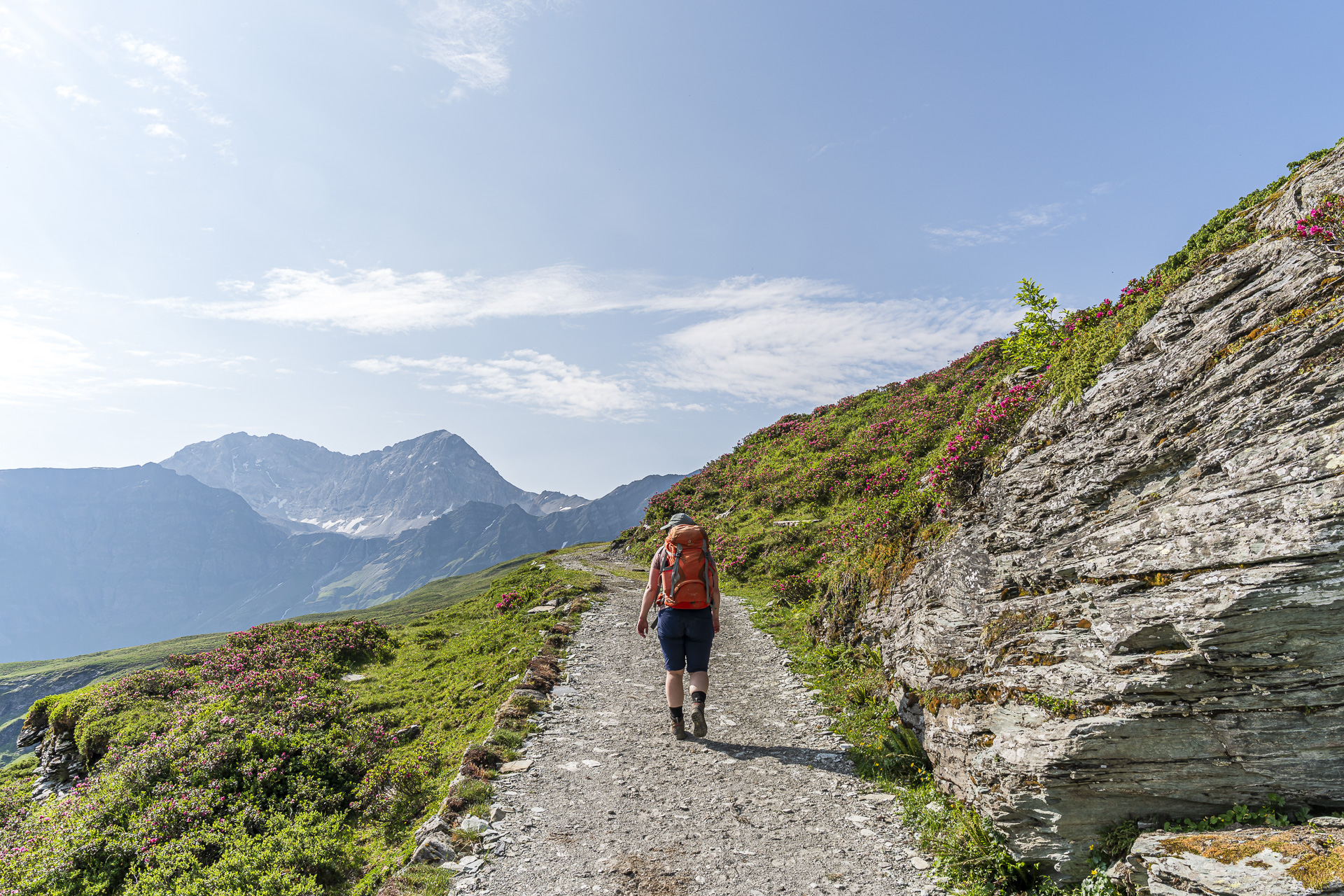
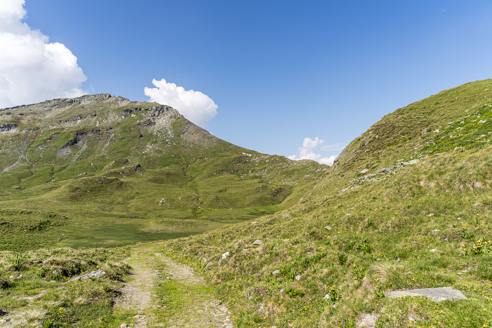
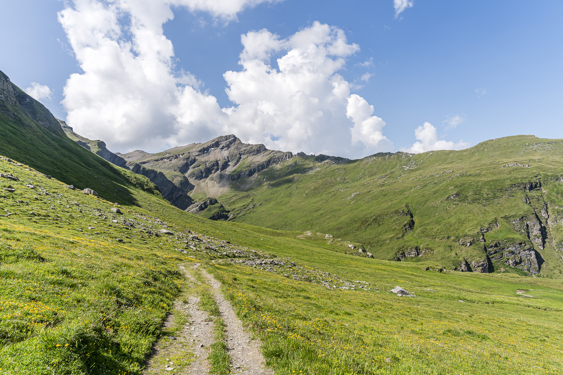
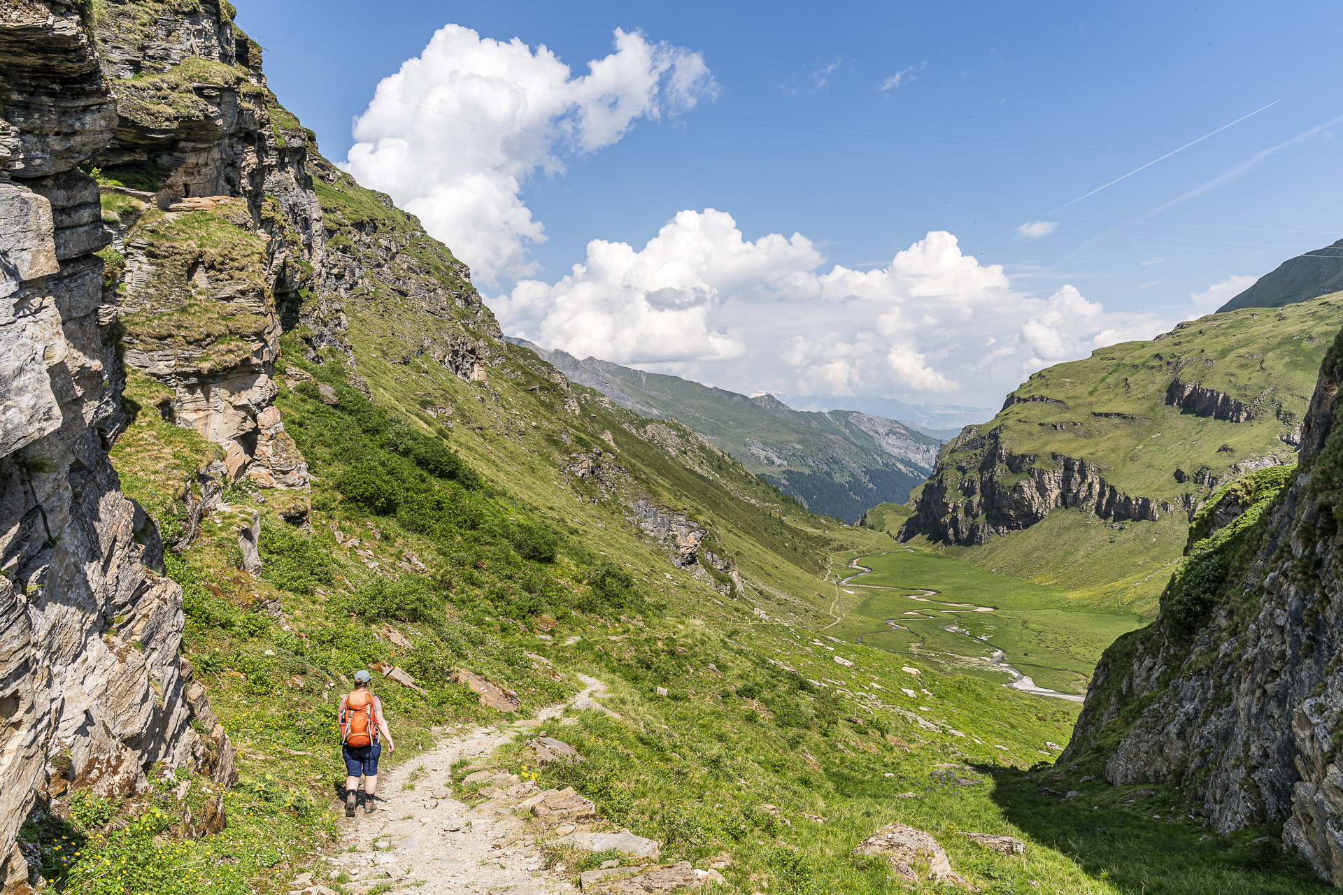
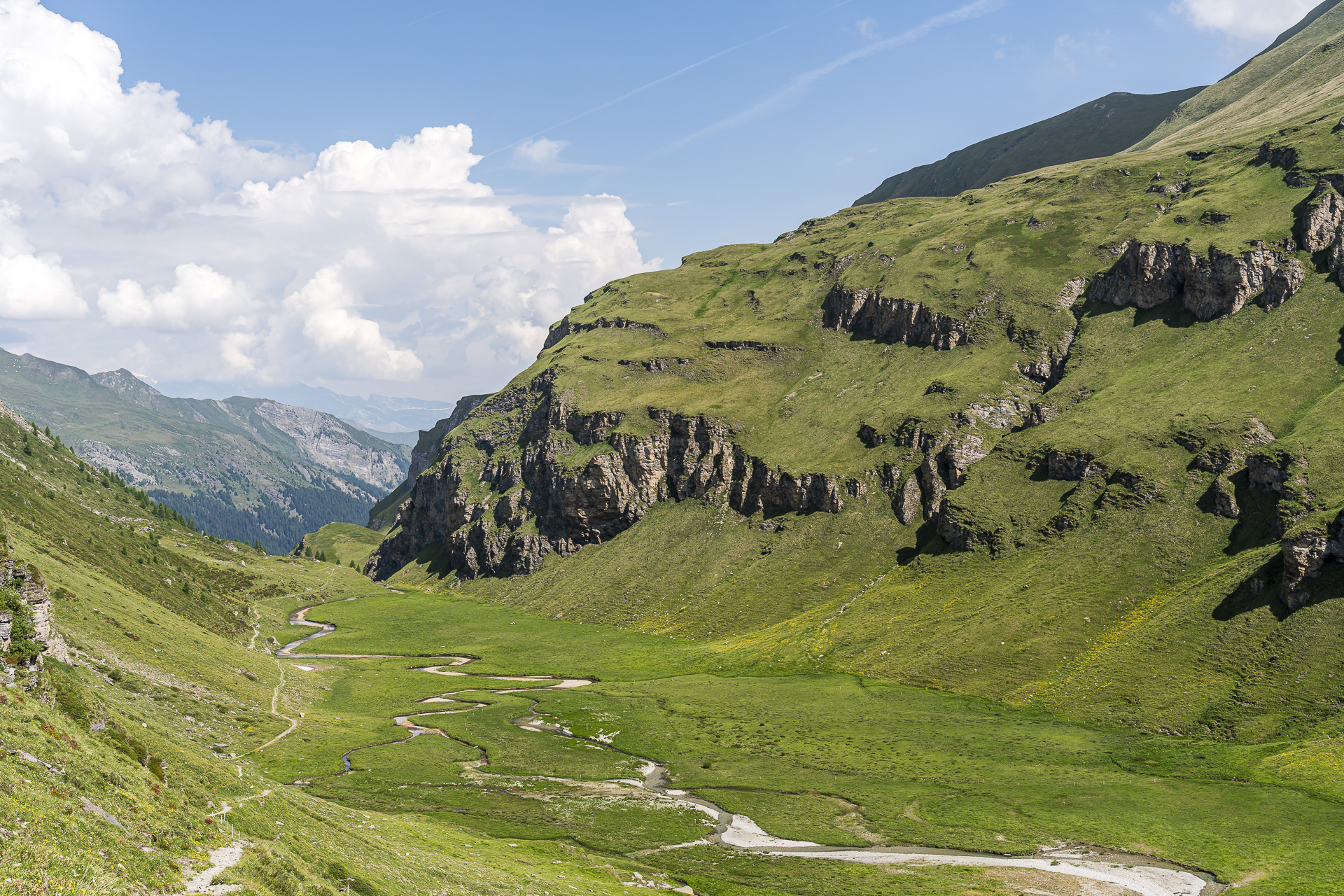
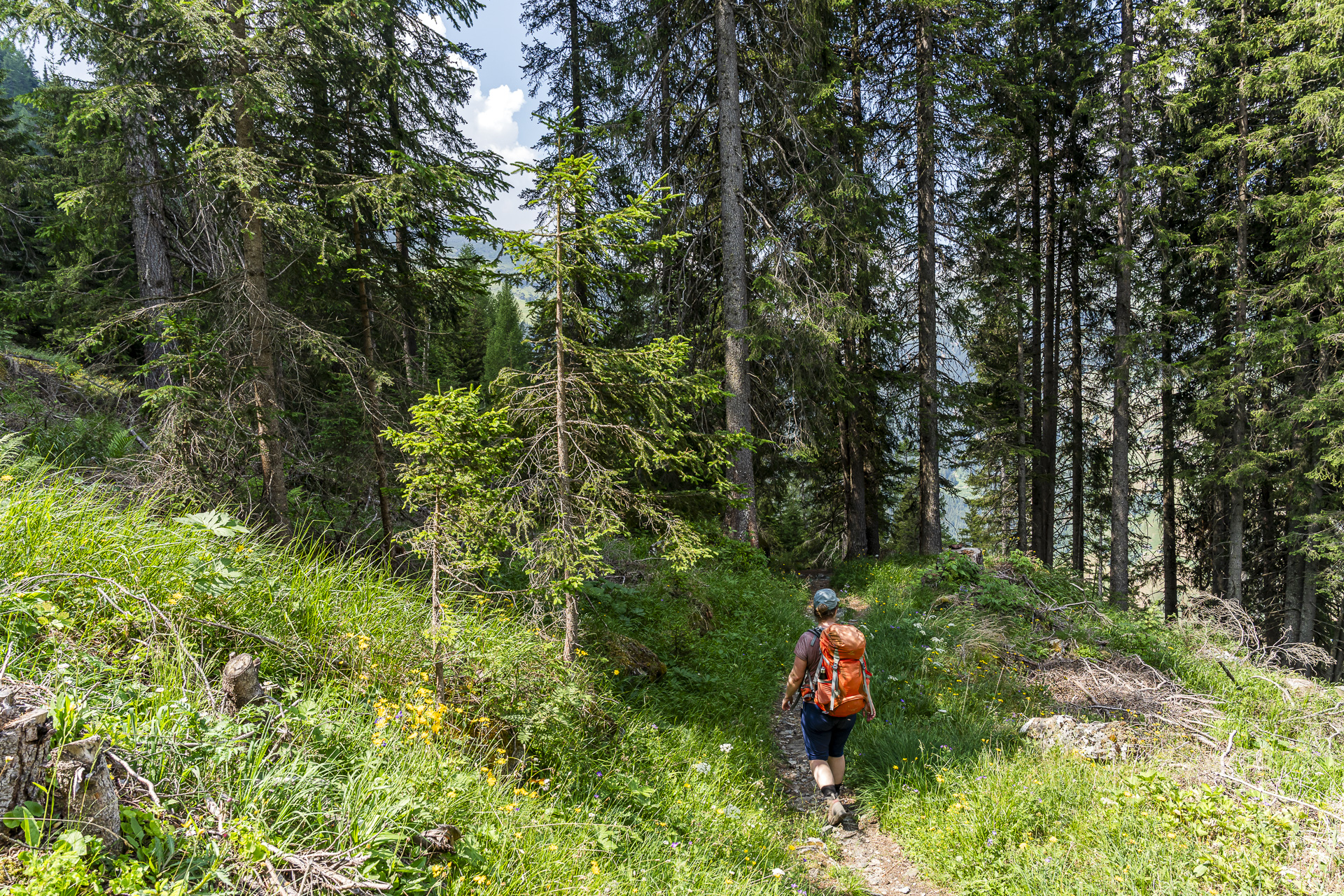
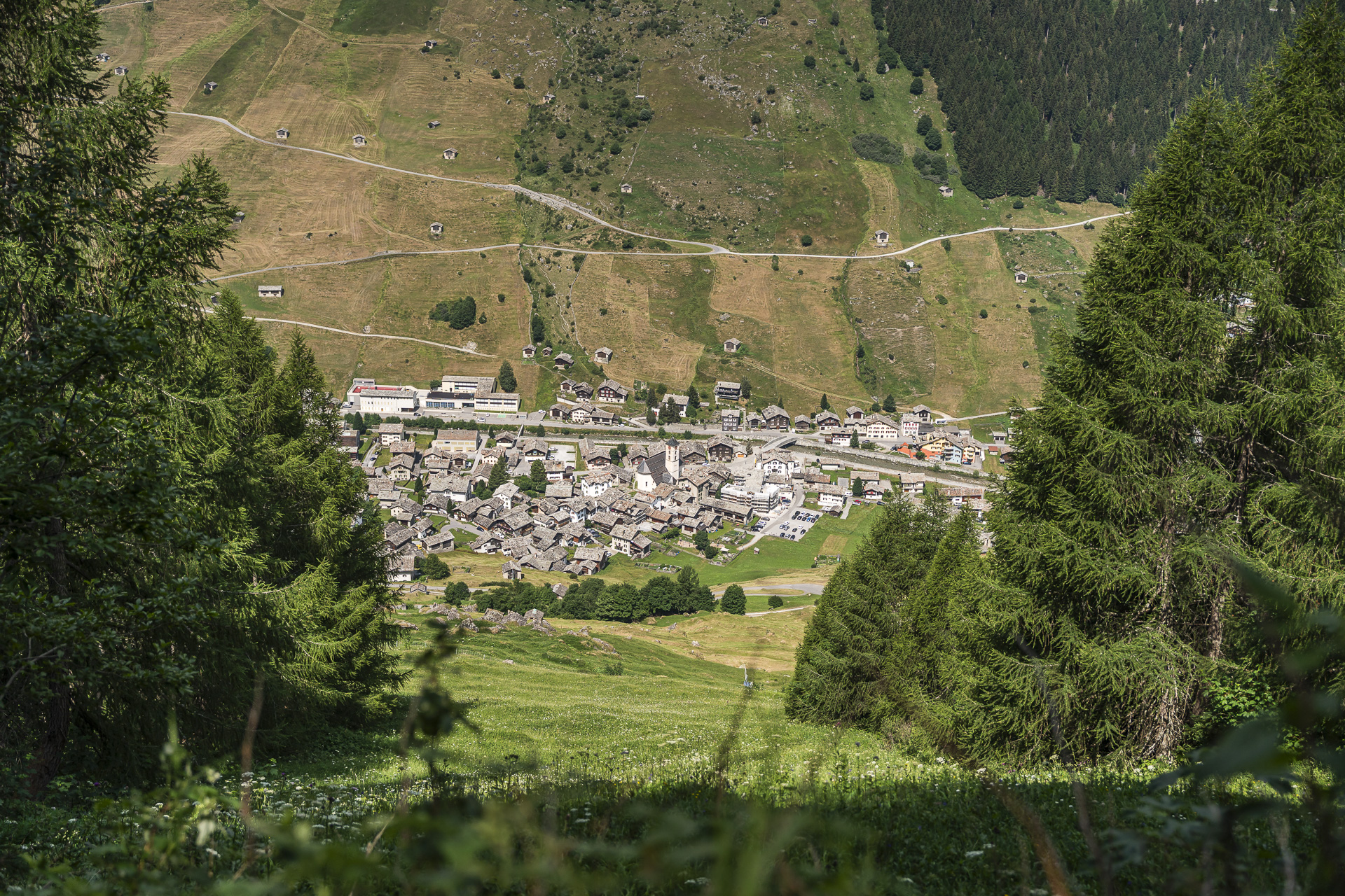
Scenically, the stage also has much to offer. My personal highlight is the section over the Riedboda with its meandering waterways. It gets more strenuous on the final roughly 600 vertical meters down to Vals. The narrow path descends in a steep zigzag through the predominantly shade-providing Riefawald until we finally reach the village center of Vals.

Key facts of the Turra – Tomül Pass – Vals hike
The following hiking map shows the route from Turra via the Tomül Pass to Vals. The tour is continuously signposted as a white-red-white marked mountain hiking trail (T2) and has no exposed or technically challenging sections. Since the Tomül Pass is also signposted as a bike route, you may encounter bikes along the way.
| Starting point | Mountain inn Turrahus (1,695 m a.s.l.) |
| Accessibility | accessible by public transport (Bus stop Thalkirch, Turrahus) |
| Length | 13.4 kilometers |
| Elevation gain/loss | ↗ 744 m ↘ 1,188 m |
| Duration | 4:40 h |
| Destination | Post bus stop Vals, Post (1,250 m a.s.l.) |
| Dining options | No dining options along the route |
Practical tips for the 3-day hike from Sufers to Vals
- Because the route reaches over 2,500 m a.s.l., it is generally suitable for hikes from mid-June to mid-October.
- The Cufercalhütte is usually open on weekends in June and continuously open from July to mid-October. An overnight stay with half board costs 114 CHF for non-SAC members (price as of 2026). You can find current prices and the booking tool here:Cufercalhütte
- Remember to bring a hut sleeping bag. There are no showers, and electricity is limited (tip: pack a power bank).
- The mountain guesthouse Turrahus offers both dormitory and double rooms with shared toilets and showers. An overnight stay in a double room costs CHF 95 per person, including half board. You can find more information here: Turrahus
- The starting point Sufers can be reached from Zurich HB by train and PostBus in around 2 hr 20 min (one transfer in Chur to the PostBus).
- For the return journey from Vals, take the PostBus to Ilanz and from there continue with the Rhaetian Railway to Chur and Zurich (travel time approx. 2 hr 40 min).
Leave a Reply