



Waterfall Arena Batöni: The Perfect Hike for Hot Summer Days
Getting up early is worth it, not least — but especially — in midsummer. This hike to the Batöni Waterfall Arena is the perfect morning tour to escape the city heat for a few hours. If, like us, you take the 6 a.m. train toward Chur, you’ll reach the trailhead shortly before 8 a.m. and can climb up to the impressive Batöni Waterfall Arena in the fresh mountain air, right in the middle of the Tectonic Arena Sardona.
From Weisstannen to the Batöni Waterfall Arena
The easiest, least stressful way to reach the start of the hike in the Walser village of Weisstannen, at around 1,000 meters above sea level, is by bus from Sargans station. The road is winding and in places so narrow that two vehicles can’t always pass each other without difficulty. Until the end of the 19th century, the high valley — settled continuously by the Walser people since the 13th century — was only accessible by footpath. Road construction from Mels to Weisstannen didn’t begin until 1873. Perhaps it’s thanks to this long isolation that Weisstannen has been able to preserve so much of its original character and historic buildings to this day.
Today the village is known as a stage on the Via Alpina and as a starting point for numerous day hikes amid the fascinating mountain scenery of the UNESCO World Heritage Site Tectonic Arena Sardona. This includes the Batöni Waterfall Arena, which lies in the Lavtina side valley branching off south of Weisstannen.
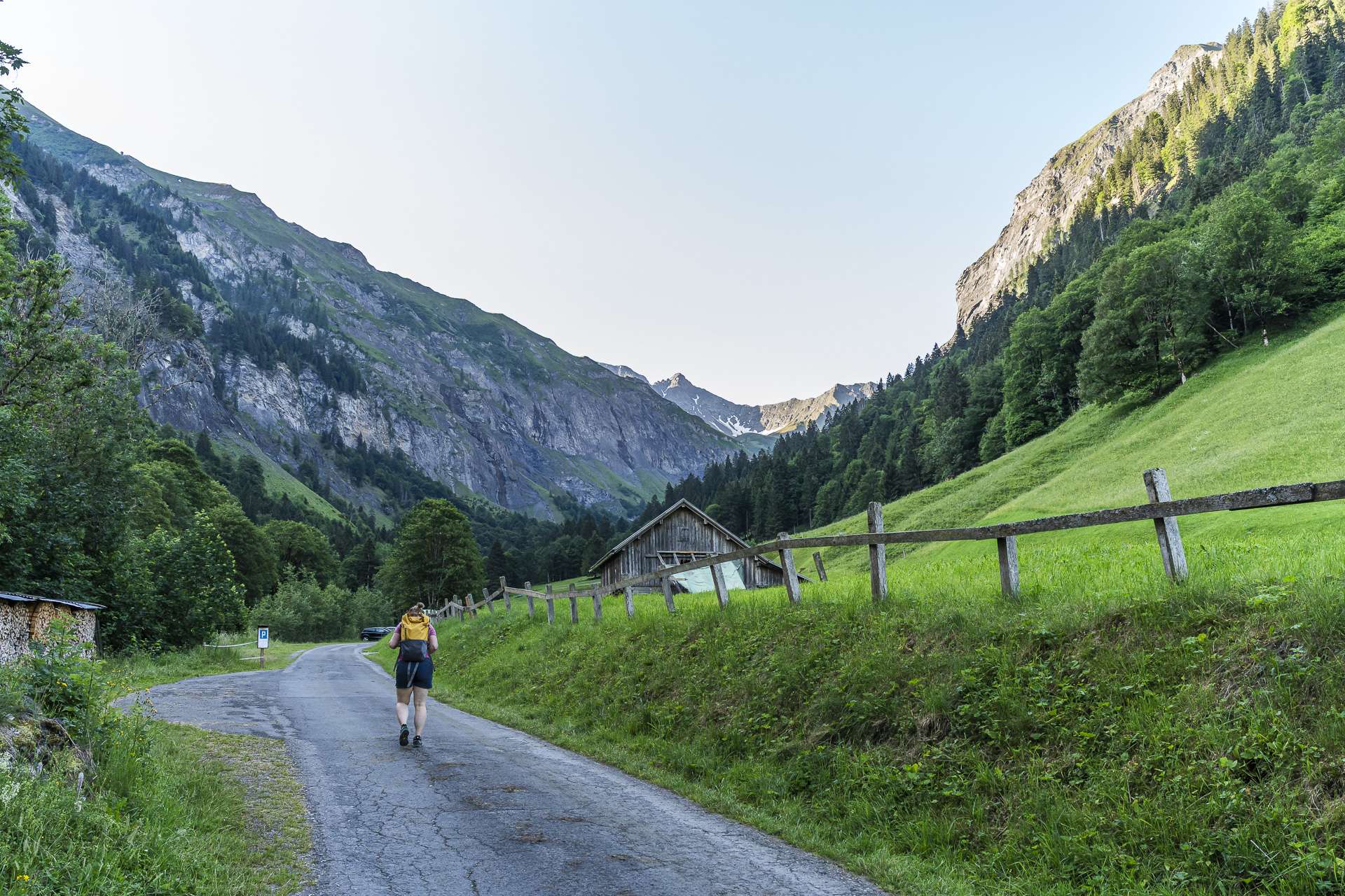
At our start just before 8 a.m., this valley is still in the shade. What would be a disadvantage in spring or autumn is one of the reasons we chose this tour in summer. We follow the signpost across from the Gufelbach and turn onto the small paved lane on the left heading toward the valley head. The first roughly 15 minutes run on asphalt and pass several parking areas. After that the route becomes a relatively wide gravel track.
Heading uphill following the roar of the Gufelbach
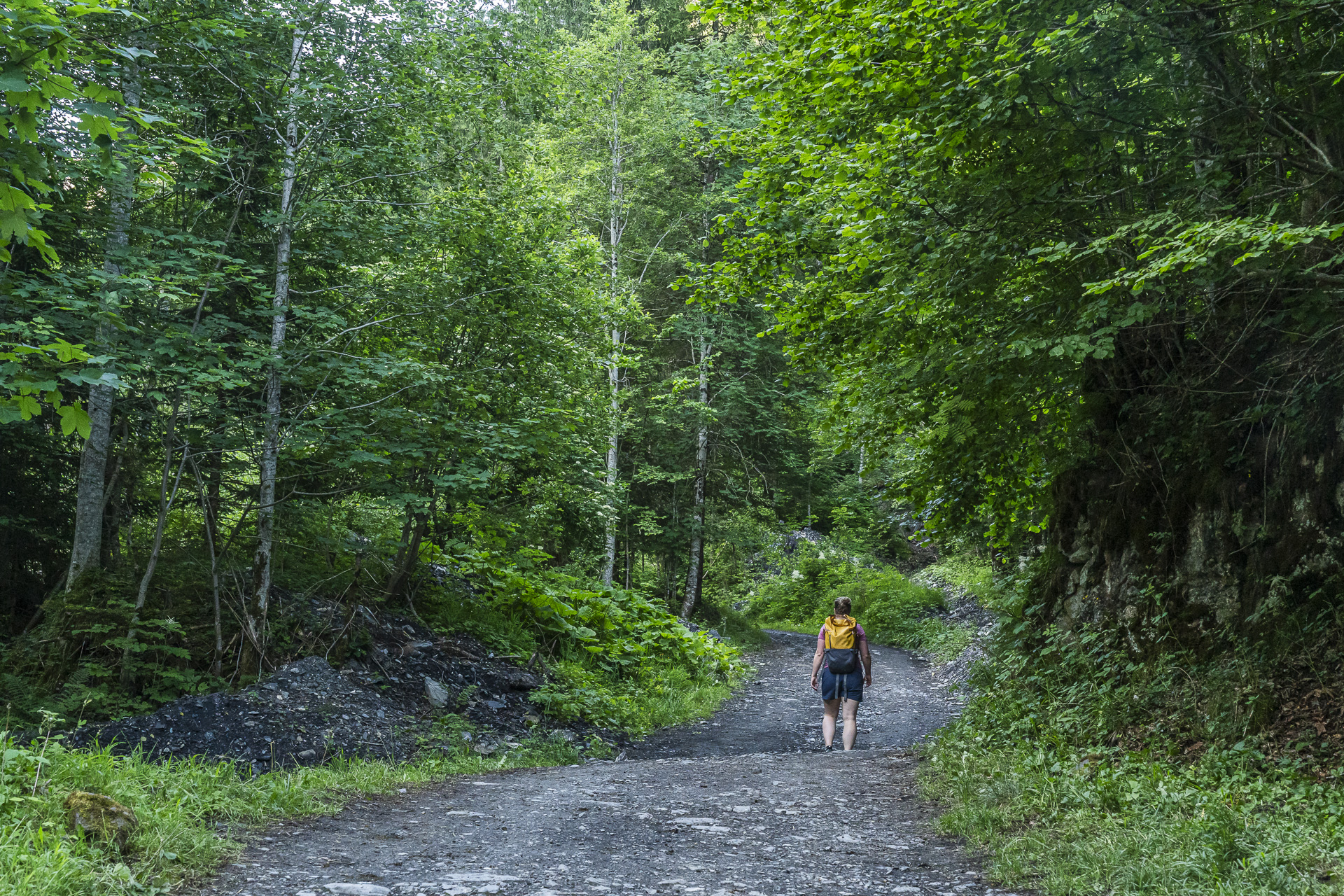
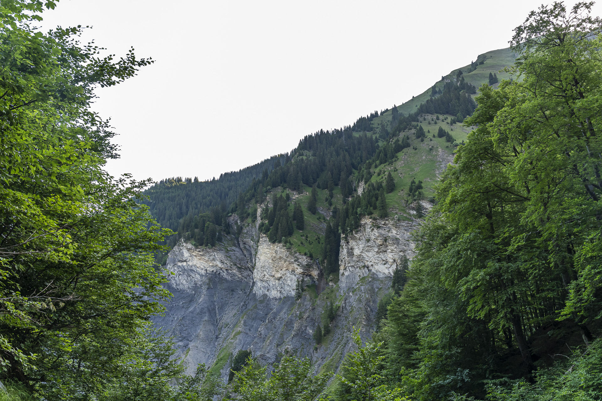
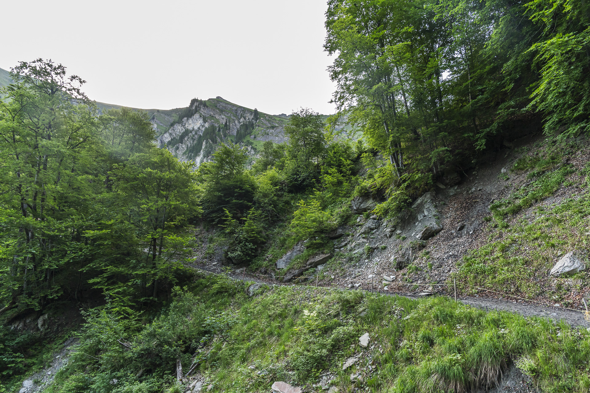
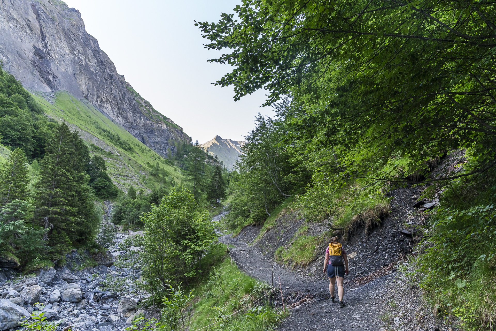
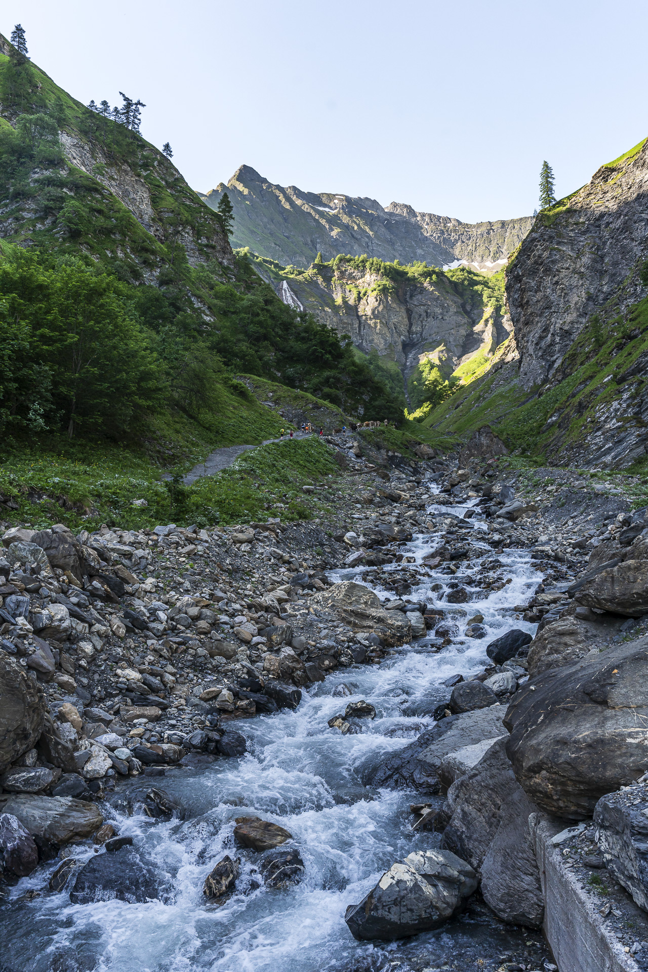
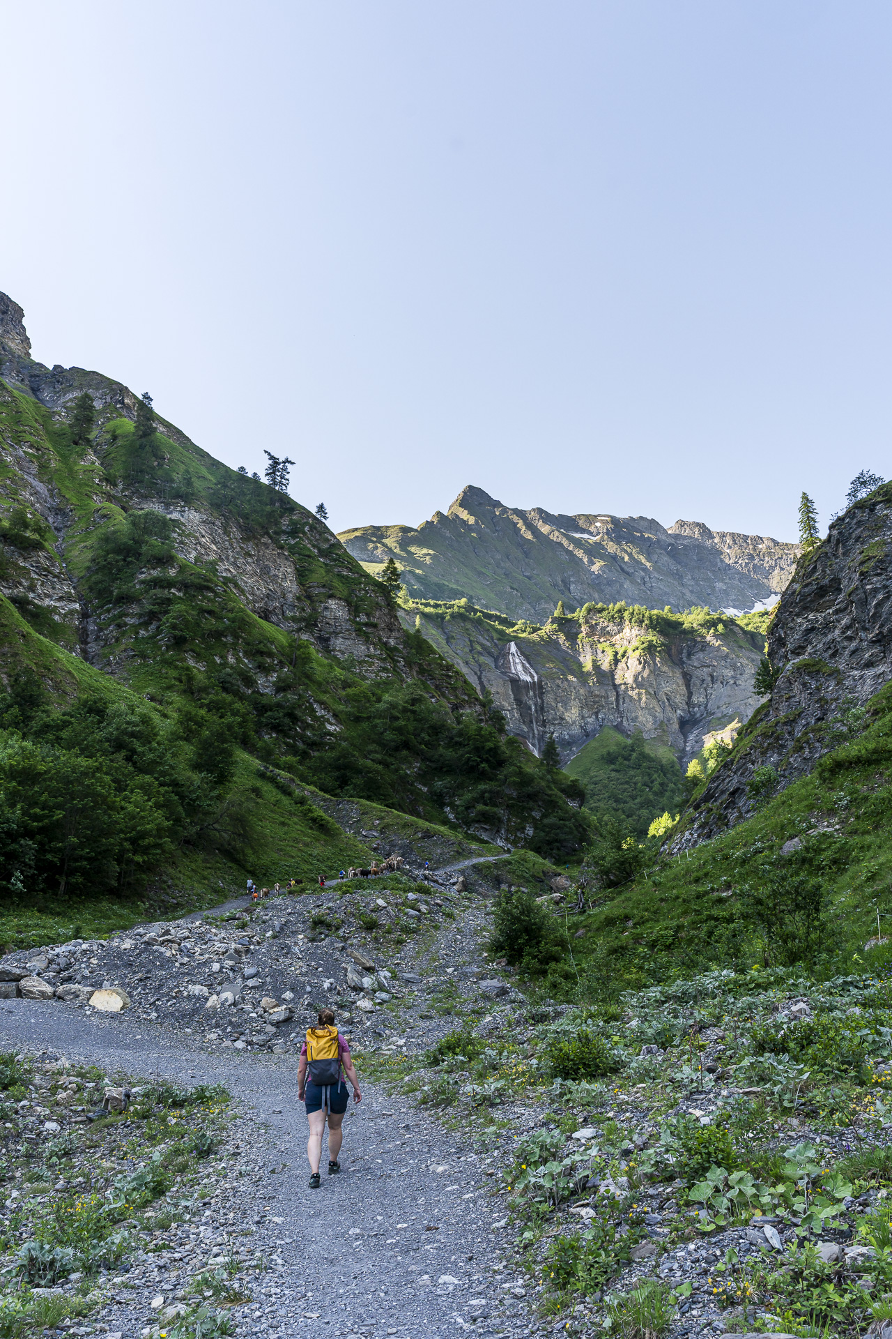
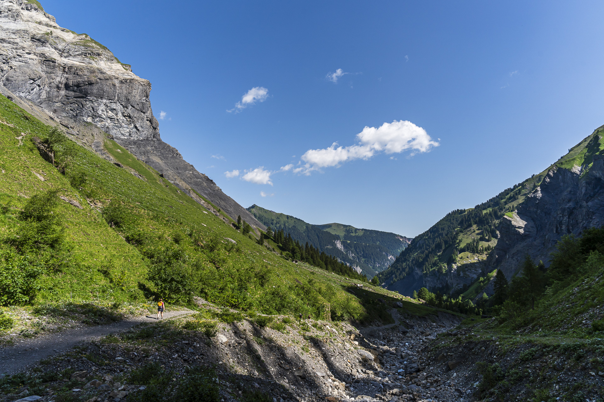
The trail is not technically difficult and climbs along the Gufelbach through a pleasantly shady stretch of forest. However, the next roughly 40 minutes are not without effort, as the gravel track includes some fairly steep sections that get the heart pumping. At the “Sässli” junction at 1,300 meters above sea level you’ve passed the toughest part. From here the path still climbs but much less steeply, running over alpine pastures toward the end of the valley. Soon the first of the three waterfalls can be seen in the distance.
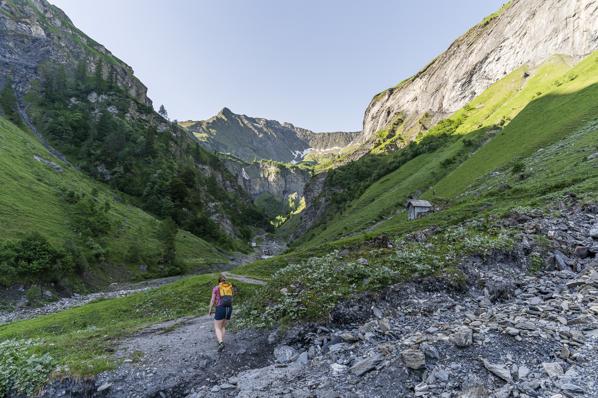
With the 86-meter-high Sässbachfall firmly in view, we cross the barrage at waypoint 1425, which tames the wild Gufelbach. At the same time water is channeled via a pressure tunnel into the Gigelwaldsee in the southern Calfeisental is diverted.
Three Waterfalls and a Suspension Bridge
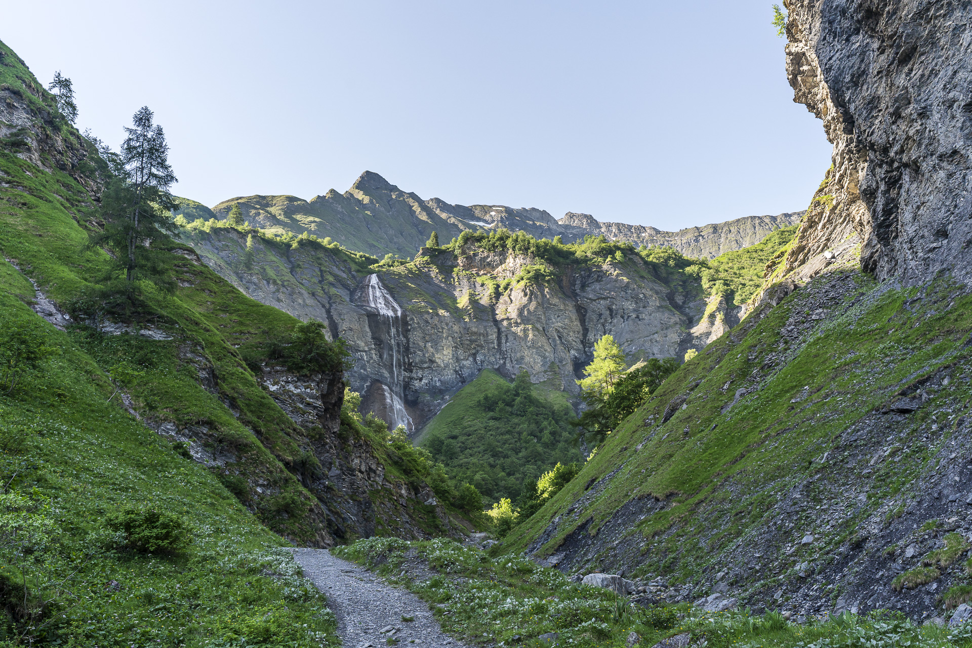
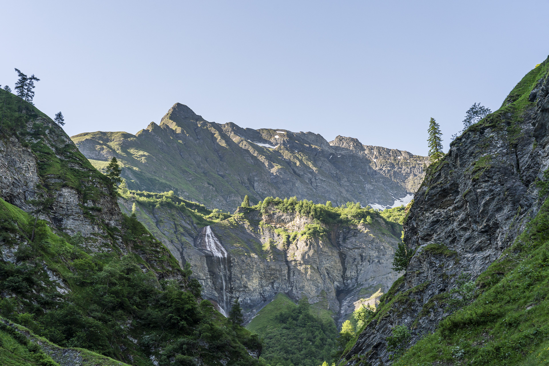
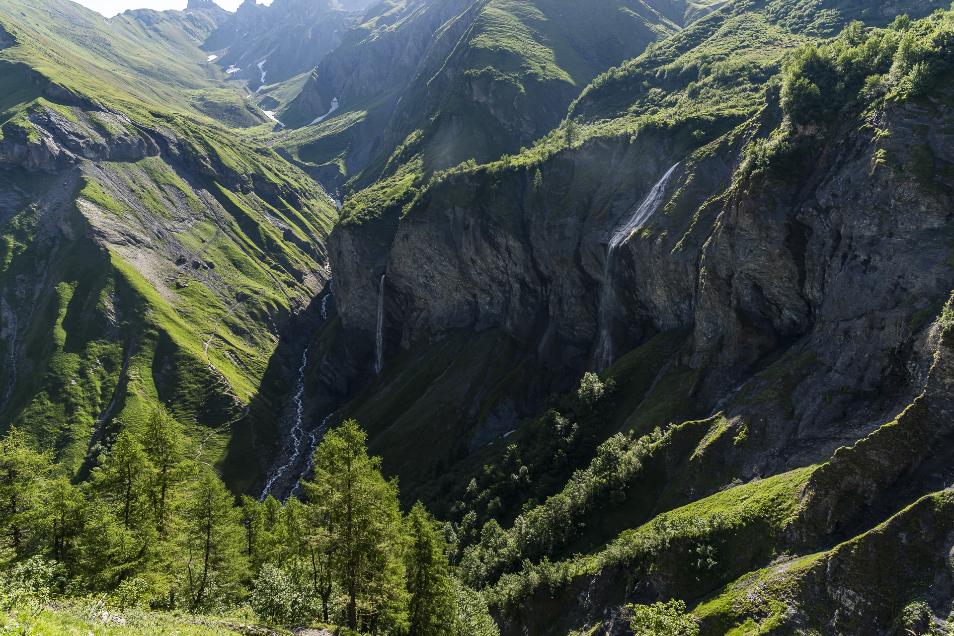
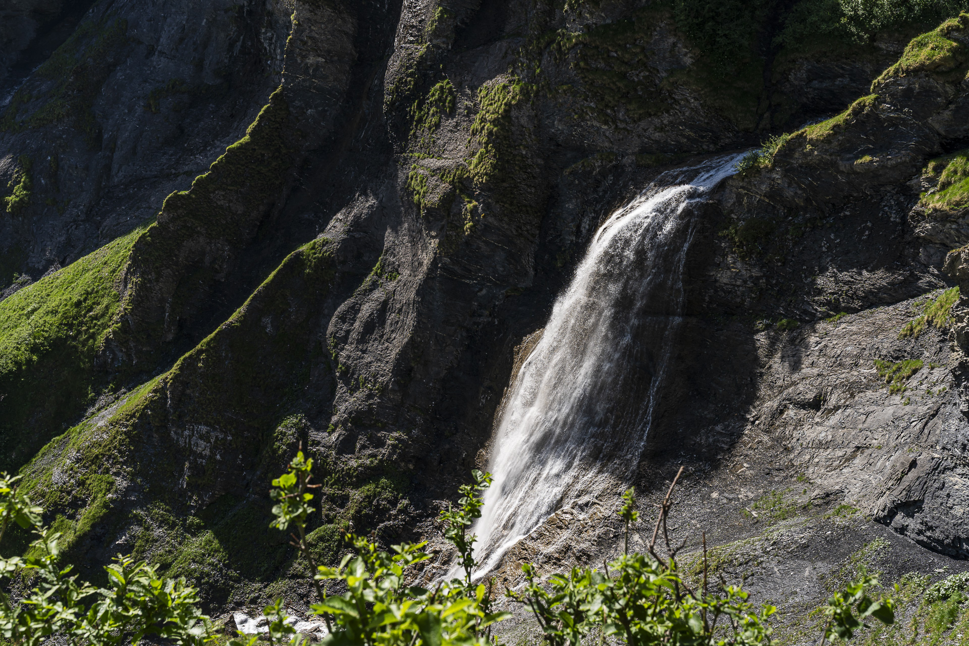
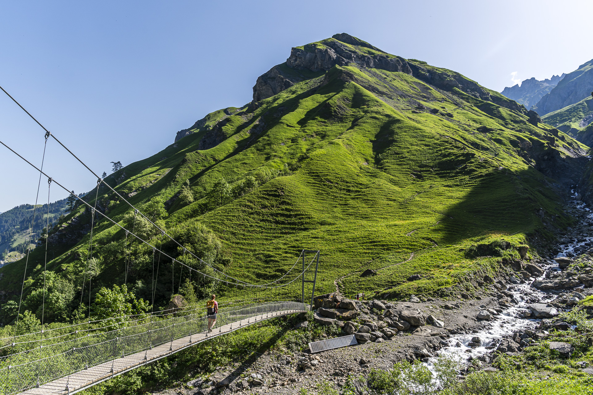
After a climb of just under an hour and a half we reach the cirque. Steep rock walls rise before us while three waterfalls thunder loudly into the depths: on the left the 81-meter-high Piltschinabachfall, in the middle the Sässbachfall, and on the right the 45-meter-high Muttenbachfall. Several smaller rivulets join here to form the Gufelbach. Since 2017 the still-young Gufelbach can be crossed via a short and not very high suspension bridge — ideal for testing your personal suspension-bridge tolerance.
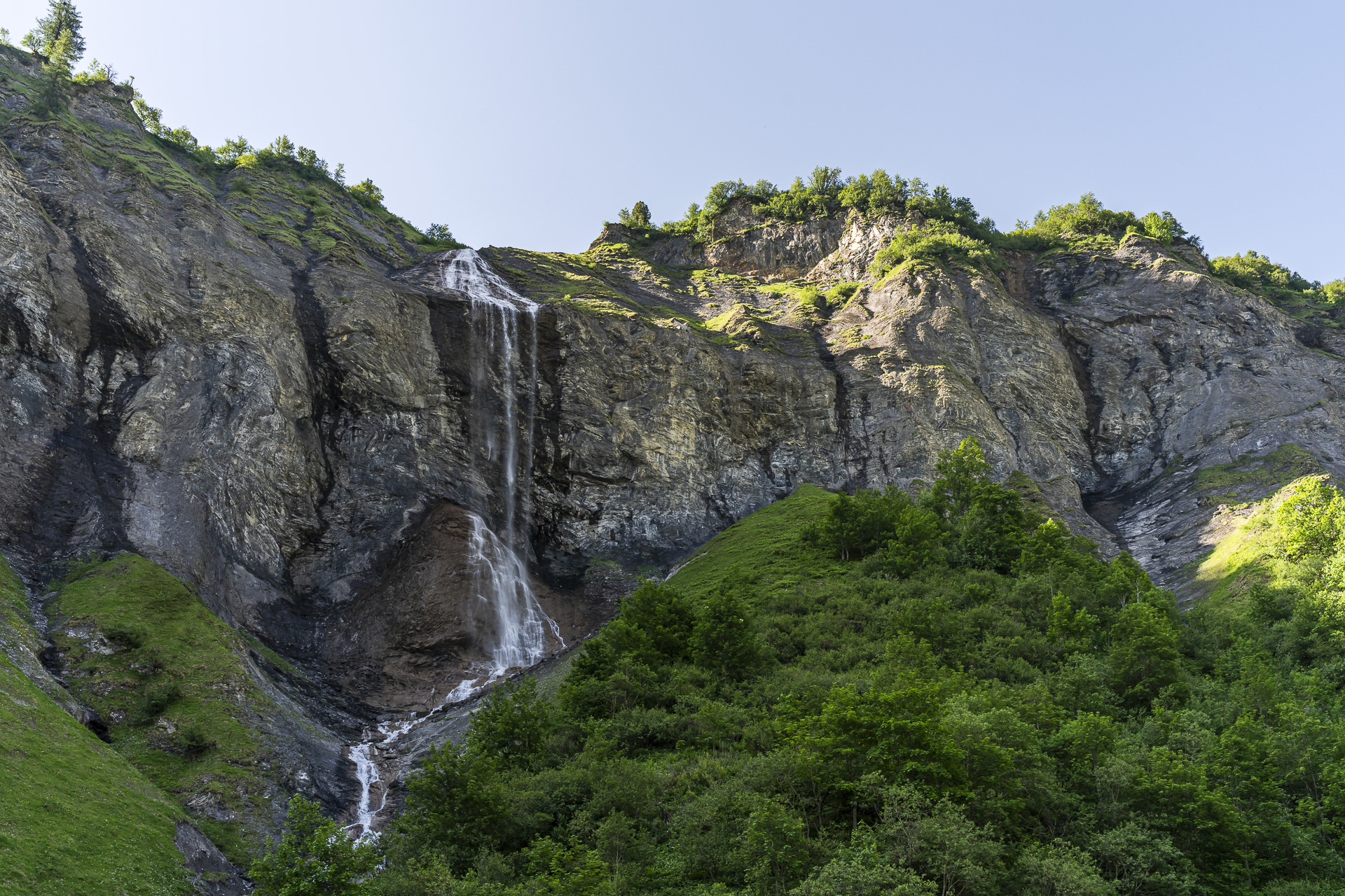
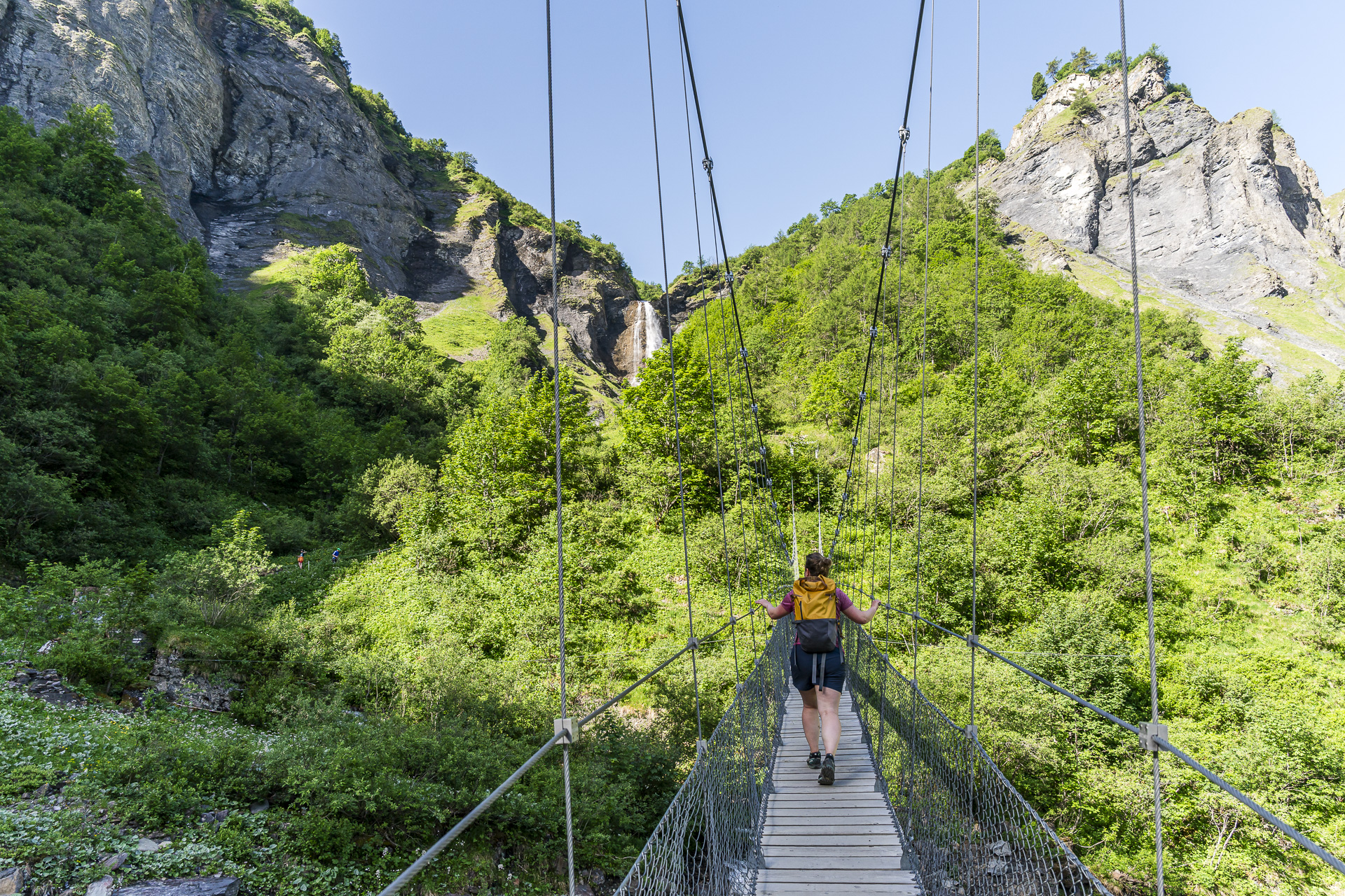
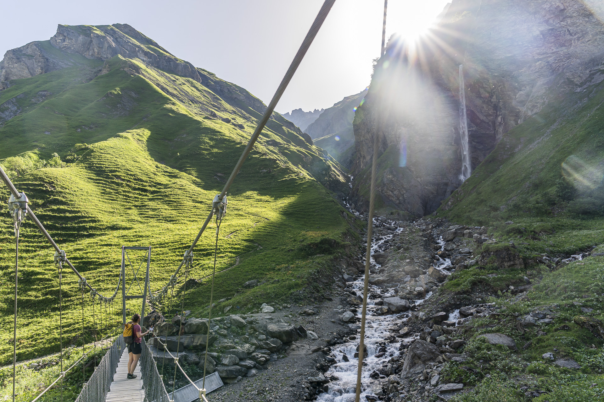
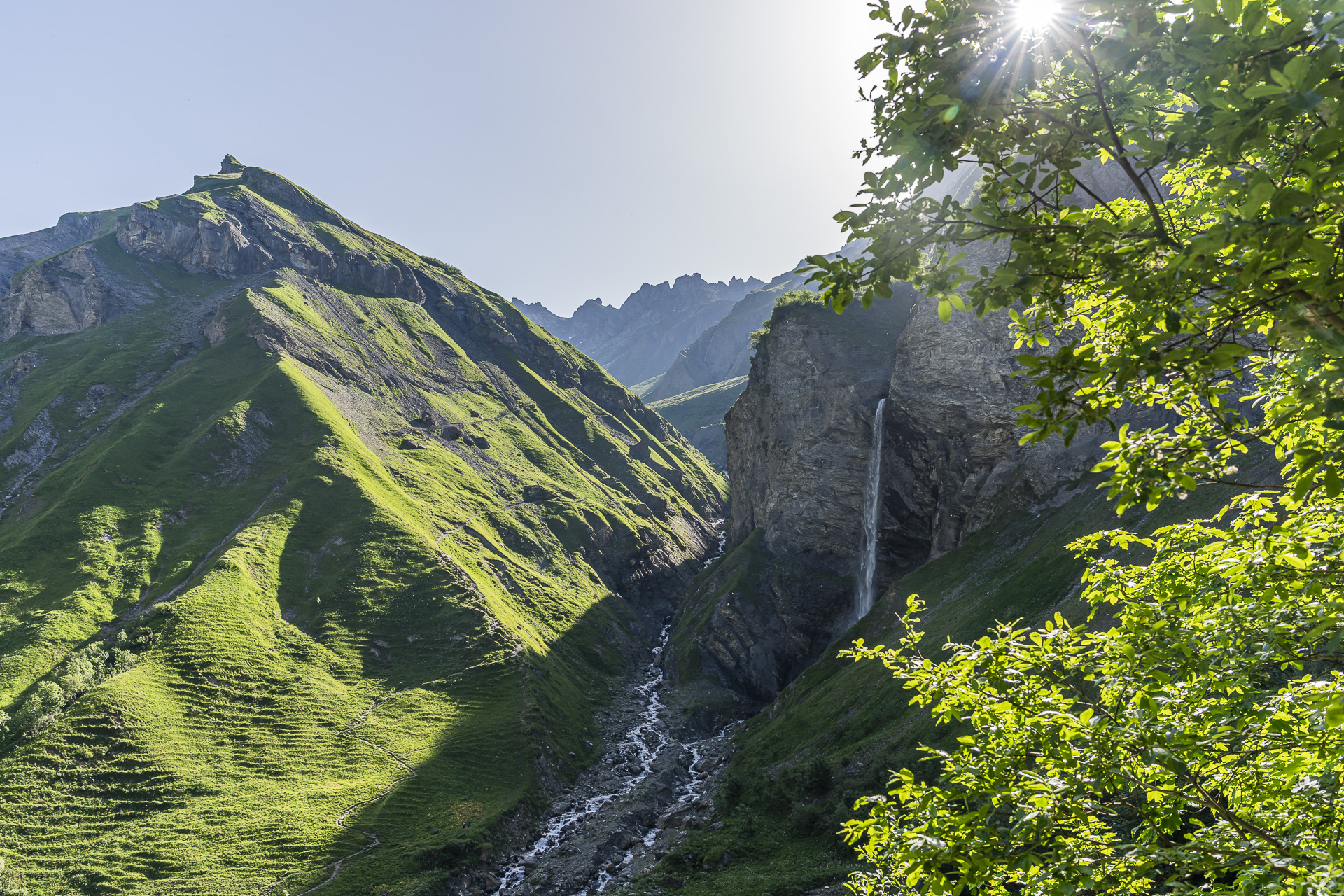
The waterfalls are particularly impressive in early summer, when there is still a lot of meltwater in the mountains, or after prolonged periods of rain. But the cirque is well worth seeing at any other time of year as well.
Those who climb higher are rewarded with panoramic views
To get the entire waterfall arena and all three falls in a single picture is not so easy from the valley floor. It’s therefore worth gaining a few more meters of elevation. For the best-known photo motif follow the signpost toward the Lavtina saddle and climb about 100 vertical meters. By the way: those who take on the full 1,000 meters of ascent to the Lavtina saddle will reach the well-known Wildsee in the Pizol area. I definitely want to do that tour someday as well.
Today, however, we decide to continue following the route of the Sardona World Heritage Trail uphill. The narrow, in places fairly steep path with stretches of loose gravel leads up to the level of the Muttenbachfall. If you wish, you can follow the Sardona World Heritage Trail from there further toward Alpstofel and the Heidelpass.
Return the same way
For us the tour ends about 160 vertical meters above the suspension bridge, just before crossing the Muttenbachfall, with a magnificent view down into the Batöni Waterfall Arena. From here we return the same way to Weisstannen. The timing is perfect to combine the trip in the afternoon either with a dip in cool water — for example, with a stop at Walensee — or — our option — to find a shady spot, put your feet up and read a good book.
Key facts for the hike to the Batöni Waterfall Arena and back
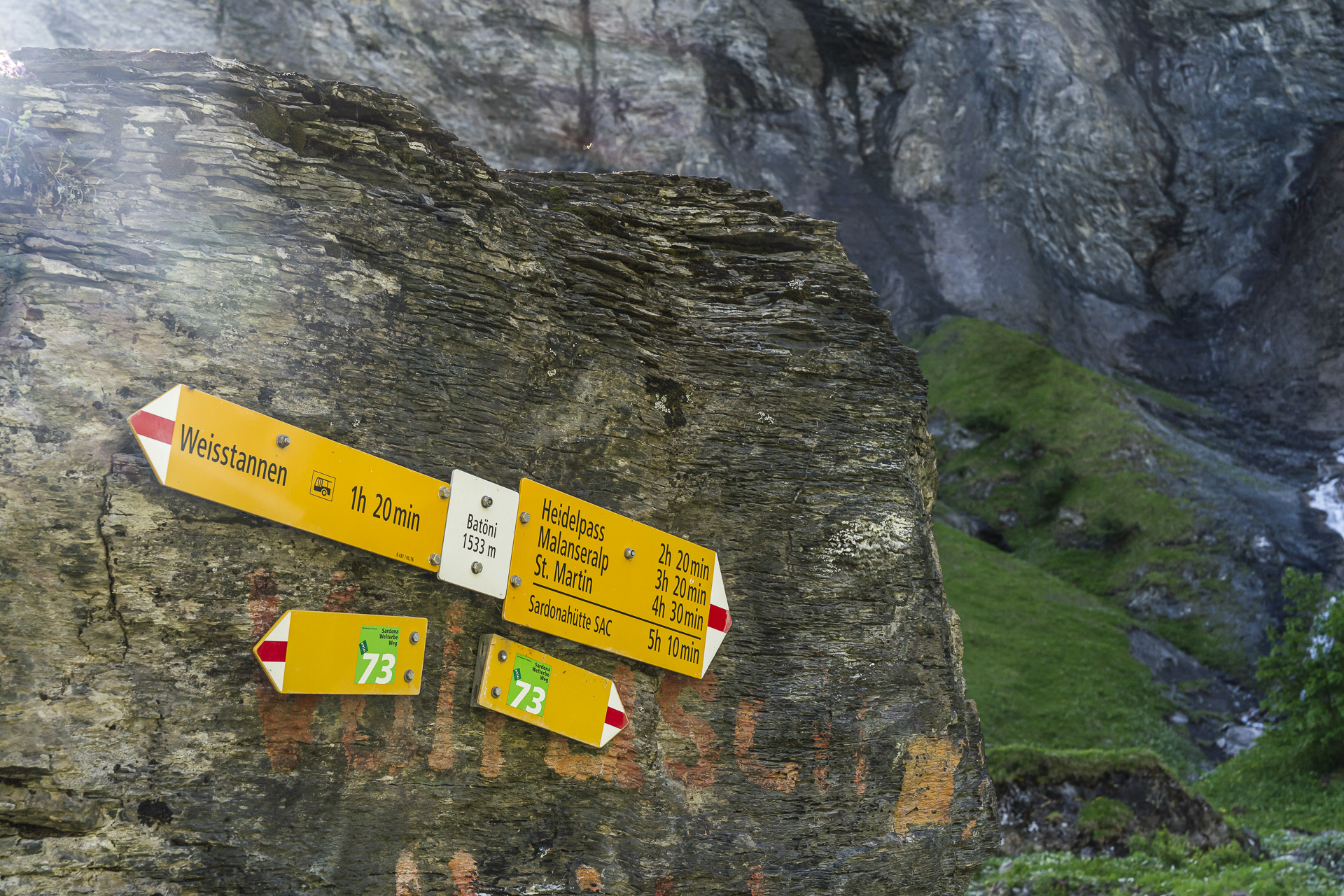
The following hiking map shows the route from Weisstannen to the Batöni Waterfall Arena and back. The route is consistently signed as a white-red-white mountain trail (T2) and follows Switzerland Mobility Route 73 (Sardona World Heritage Trail, Stage 4, Weisstannen – Sardonahütte). From Weisstannen to the suspension bridge it is roughly 4 kilometers and 550 meters of elevation gain. The additional elevation described is optional and can be added to the route depending on your mood and energy. For the stretch to the suspension bridge and back (without the additional elevation) plan on about three hours of walking time (without breaks).
Technically, the hike to the suspension bridge is easy and has no particular difficulties. However, it is not suitable for strollers. On the additional ascent toward the Muttenbachfall there are some slightly exposed sections with loose scree. Hiking poles can be advantageous here.
| Starting point | Bus stop Weisstannen, Oberdorf (1’004 m a.s.l.) |
| Accessibility | accessible by public transport |
| Distance | 9.6 kilometers |
| Elevation | ↗ 805 m ↘ 805 m |
| Duration | 3:55 h |
| Endpoint | Bus stop Weisstannen, Oberdorf (1’004 m a.s.l.) |
| Refreshment options | Pack a picnic (no places to eat along the hiking route) |
Practical tips for your hike to the Wasserfallarena Batöni
- Arrival and return: From Sargans, bus line 432 runs hourly into the Weisstannen Valley. Travel by public transport from Zurich takes around 1 hour 35 minutes (including transfer in Sargans).
- Best time of year: Because of its shaded location, there can still be snow in the Wasserfallarena Batöni into early summer. We did the tour in the second half of June and did not encounter any snowfields. The waterfalls are particularly impressive in early summer during the snowmelt or after prolonged periods of rain.
- Food: There are no places to stop for food along the way. At the Weisstannen, Oberdorf bus stop there is a vending machine with local products. Otherwise, there are two places to eat in Weisstannen: the Alpenhof and the “Gemse”
Leave a Reply