



Chemin des Narcisses: scenic daffodil hike in Les Avants
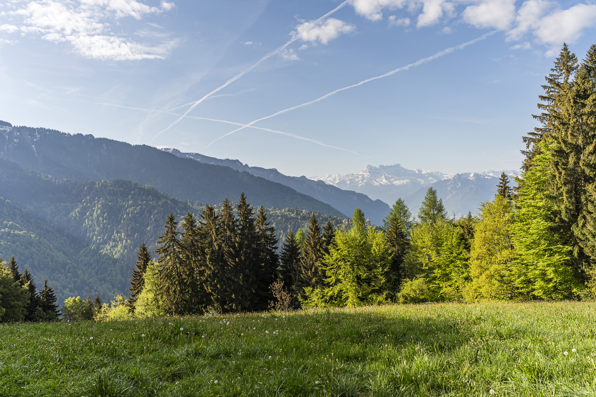
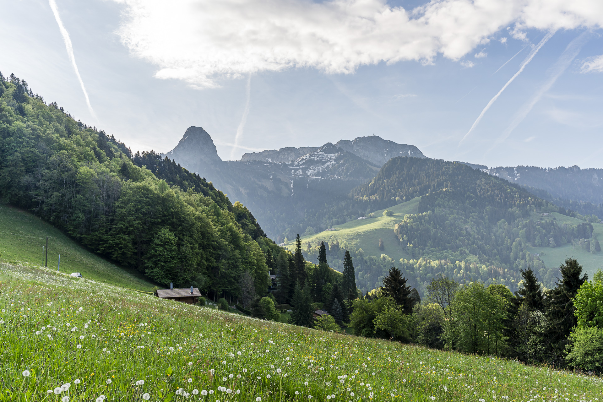
The trail signed as Route No. 133, the “Chemin des Narcisses,” is one of six themed walks around the wild-growing narcissi on the Vaud Riviera between Montreux and Vevey. We explored the route in early May and quickly realized it offers far more than blooming narcissi: time and again impressive views open up to the surrounding, partly still snow-capped peaks and across the expanse of Lake Geneva.
In this post I show you the exact route, reveal where the most beautiful blooms can be found, and explain how you can extend the hike toward Montreux via the dramatic Gorge du Chaudron depending on how far you want to walk.
Narcissi in bloom in Les Avants near Montreux
The Chemin des Narcisses in Les Avants runs at elevations between 950 and just under 1’200 meters above sea level. Along the route several information panels explain the history of the narcissus bloom in the region, which already attracted many visitors to the Riviera during the Belle Époque.
Exactly when the wild narcissi start to bloom varies from year to year. It’s therefore worth keeping an eye on the bloom status on the Montreux Tourism website from mid-April to catch the right moment.
But even if you just miss the peak bloom, the circular hike is absolutely worth it. The tour is easy, varied and repeatedly surprises with beautiful views. The start and end point is Les Avants station on the MOB line Montreux–Zweisimmen, which you can reach from Montreux in around 30 minutes and during which you’ll already experience a pretty impressive train ride.
Ascent from Les Avants to Sonloup
Even though this is not my first time on this route, which is considered “one of the most beautiful railway lines” in Switzerland, my nose is almost glued to the train window as the train works its way up from Montreux to Les Avants, curve after curve.
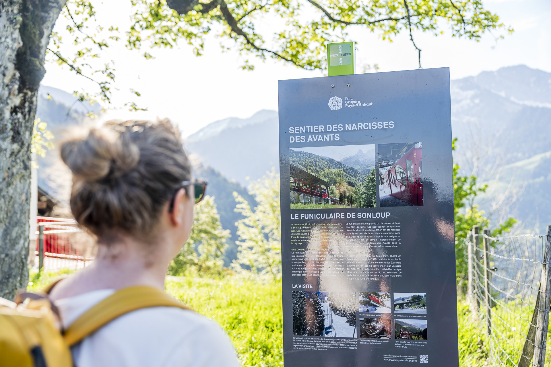
We’re out early, and shortly after 8 a.m. the village looks idyllic and still somewhat sleepy. Les Avants is one of the oldest winter sports resorts in Switzerland. There isn’t a ski lift here, but there is an almost entirely original funicular from 1910 that was built in just five months and leads up about 200 meters higher to Sonloup. Since 2012 it has been operating fully automatically. You’ll learn this and other interesting background information on the information boards along the circular route.
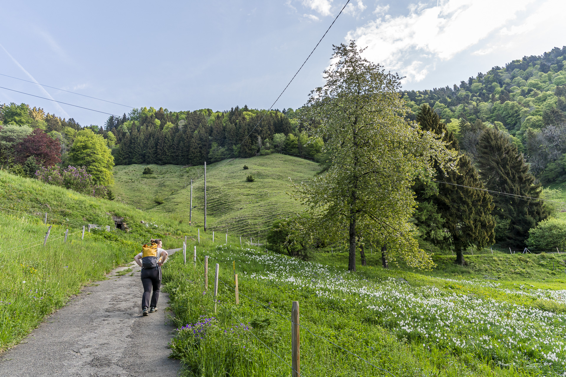
We could now skip the most strenuous first part of the hike and cover the elevation with the rattling funicular. But then we would miss the first narcissi fields, which are directly above the scattered chalets at the edge of the settlement.
Scenic hike to Mont Cubly
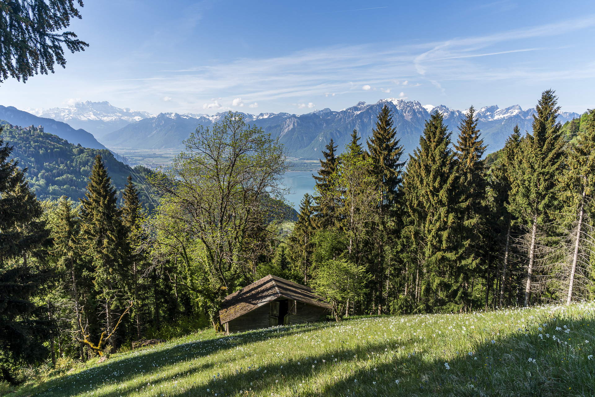
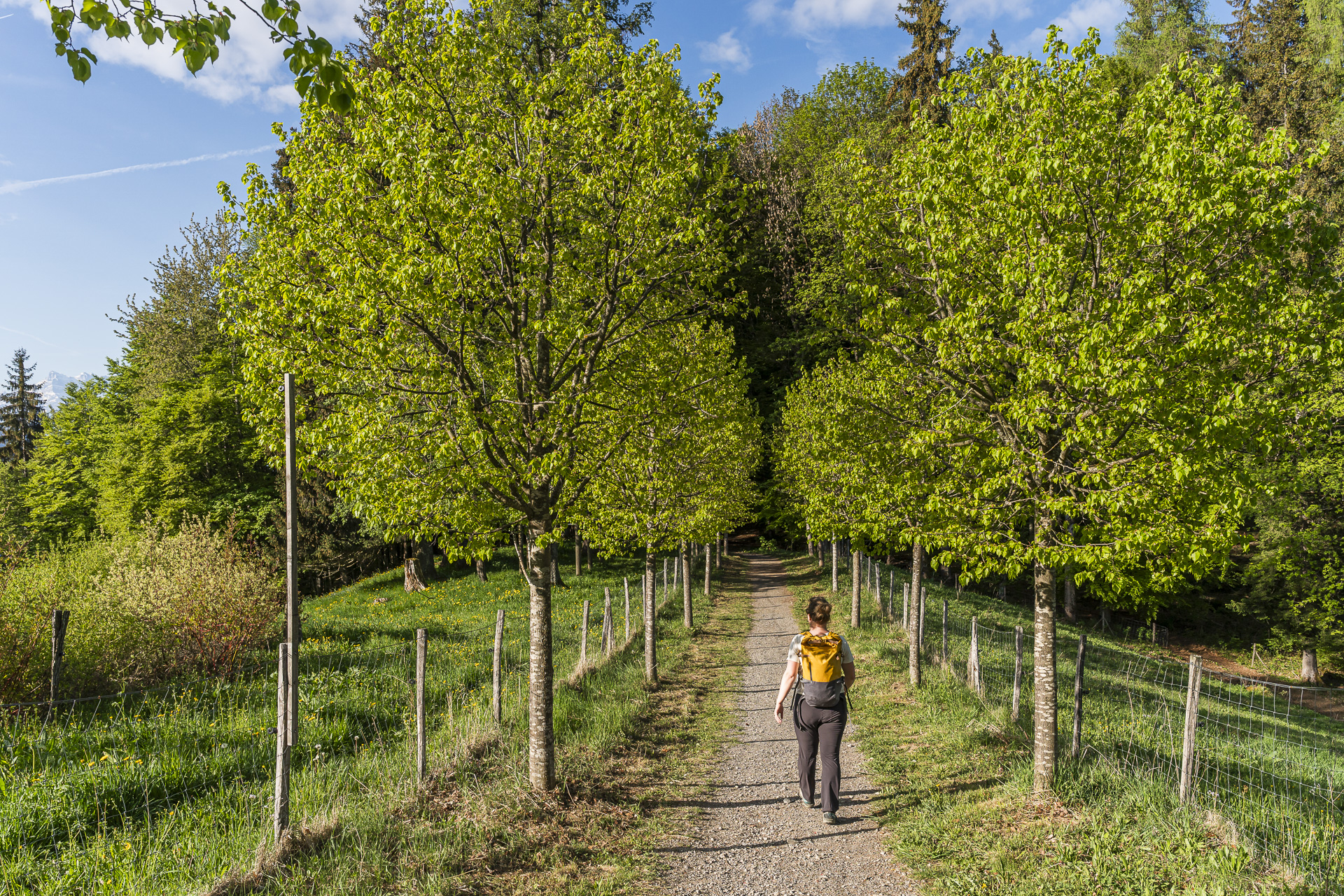
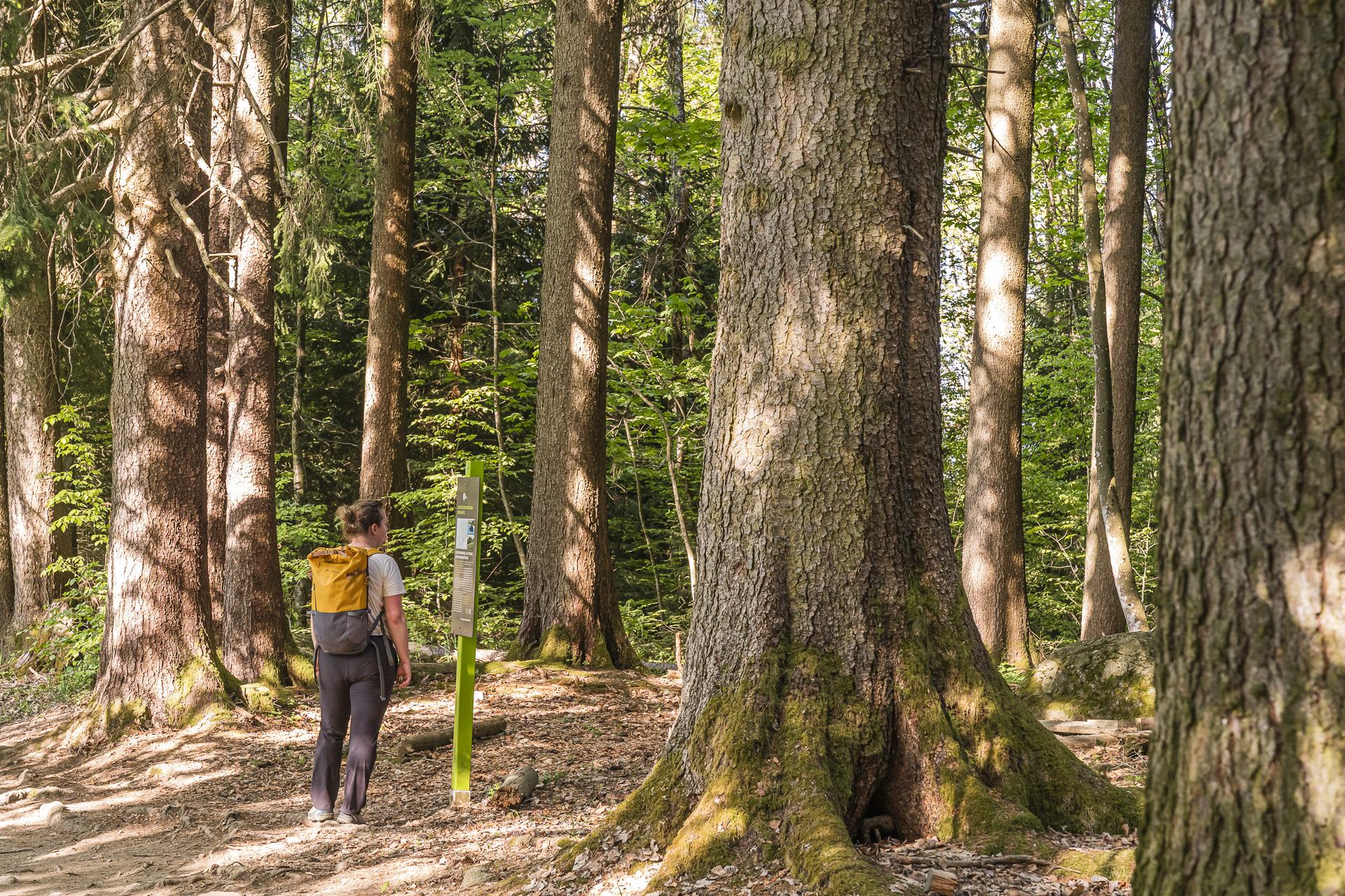
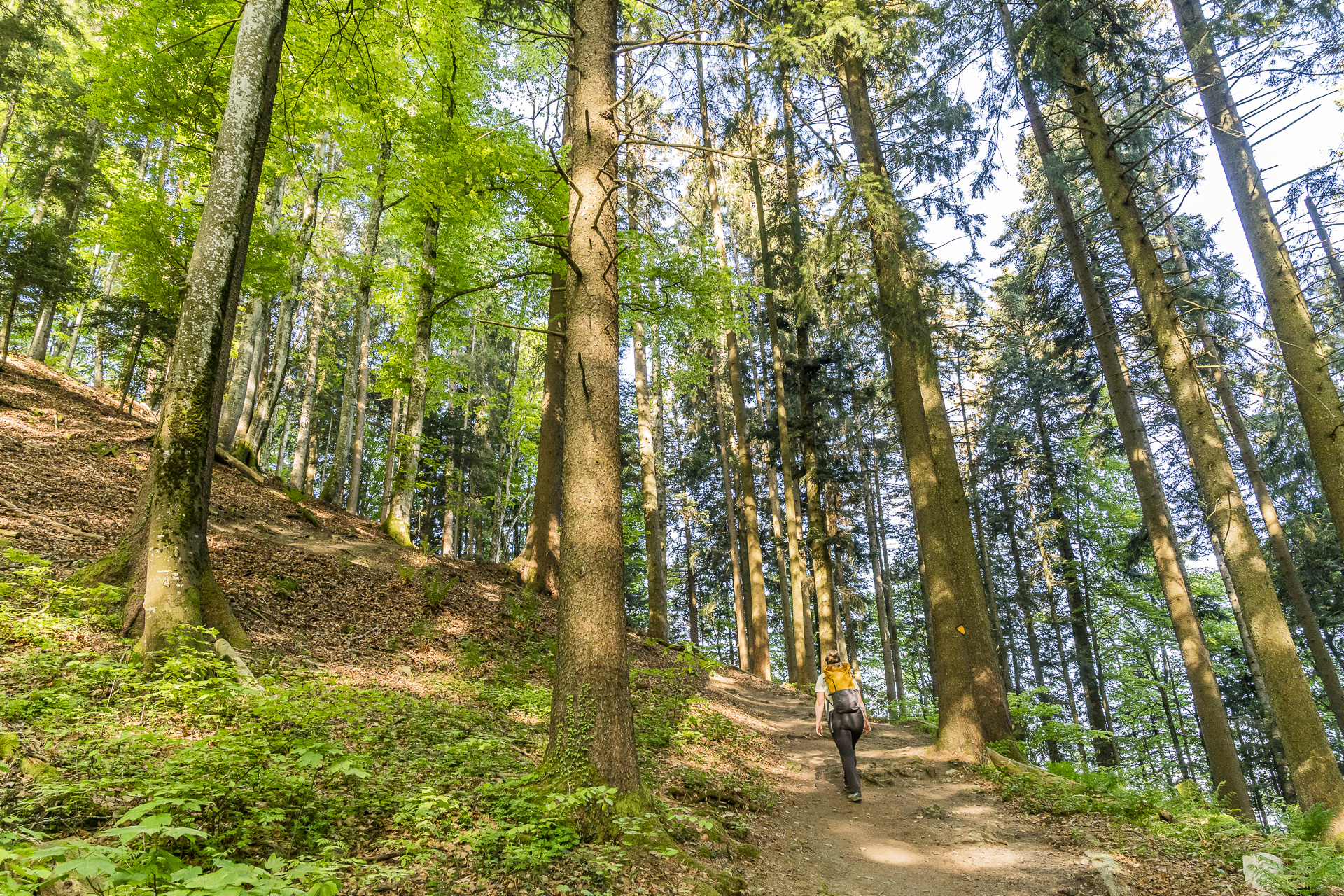
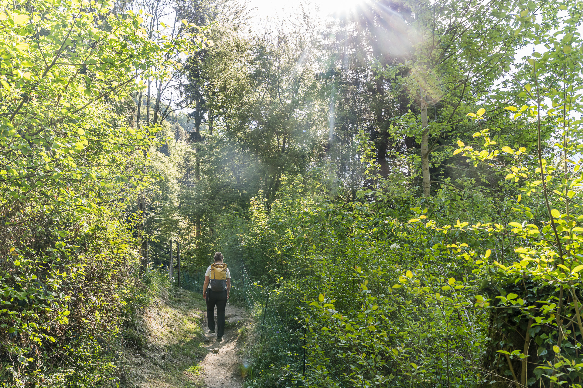
Once the elevation up to Sonloup is behind you, the Chemin des Narcisses follows a ridge-like trail through the wooded heights of “Le Cubly.” It’s an enjoyable section that runs over soft forest floors and repeatedly passes clearings that open up wonderful views of the surrounding mountains. From the Dent du Jaman over the Rochers-de-Naye to theDents du Midi and the Grammont you can admire numerous distinctive peaks of the region along the way.
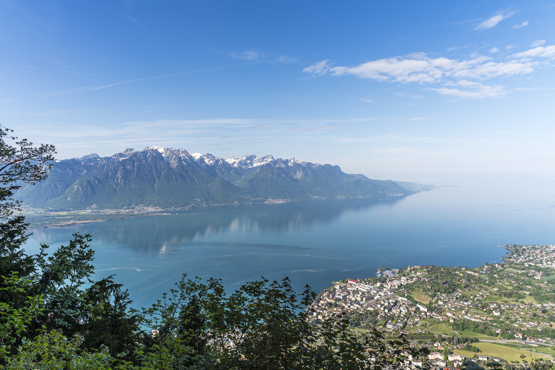
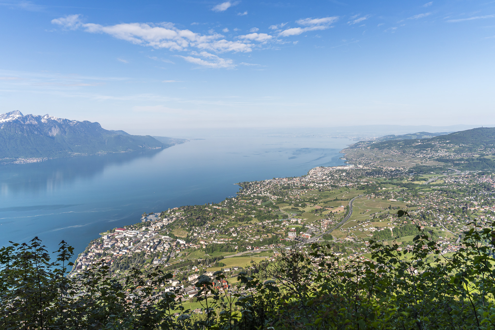
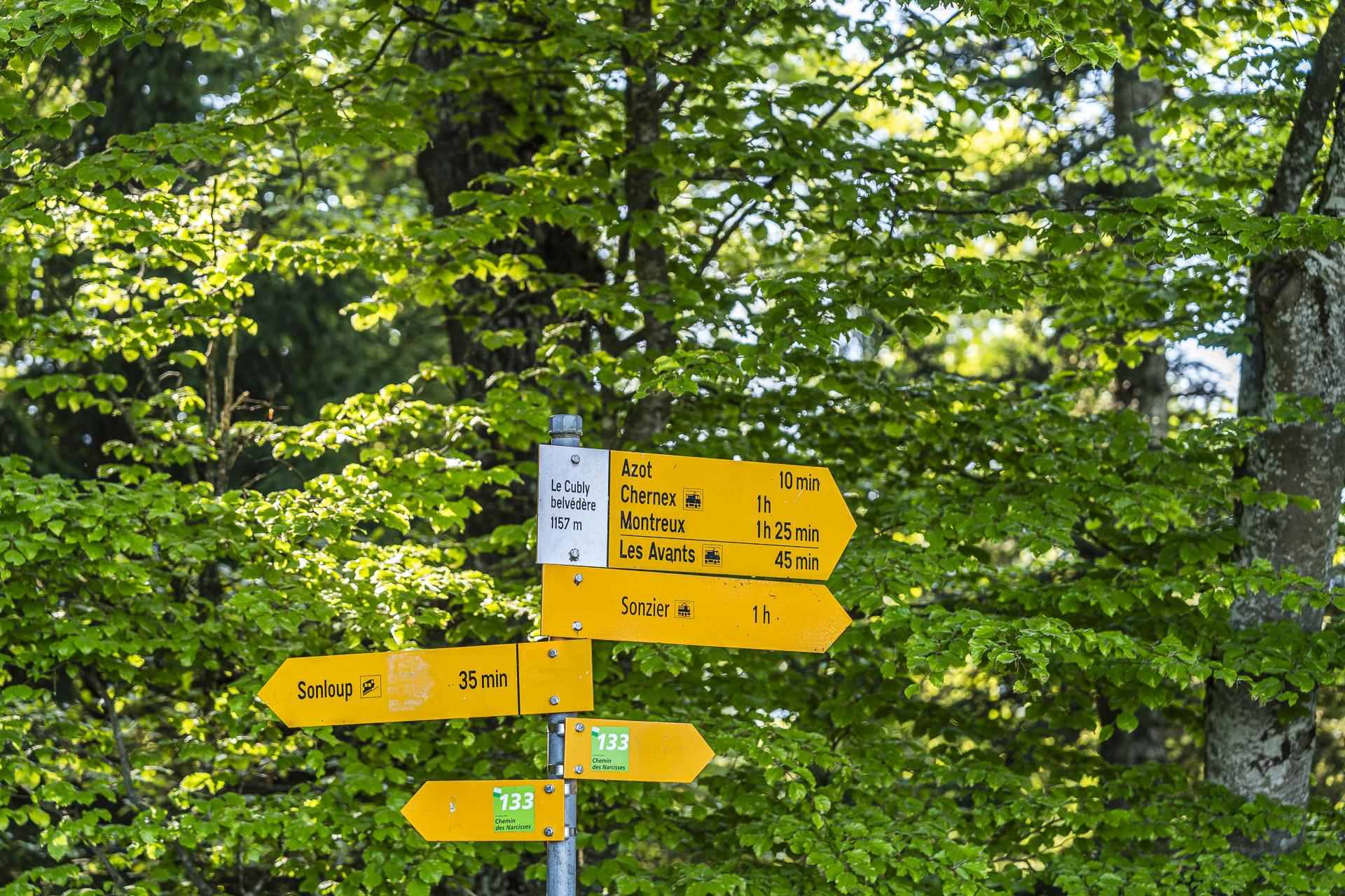
However, the highlight in terms of views unquestionably comes at the height of the Ruine de la Tour de Salausex. There is hardly anything left of the ruin itself, but the signpost designation “Le Cubly Belvedere” hits the nail on the head. The view reaches far beyond the neighboring viewpoint Les Pléiades and opens out over the expanse of Lake Geneva. Anyone wanting to take a short break here will also find some comfortable benches in the shade of the trees.
Blooming narcissi fields on the Chemin des Narcisses
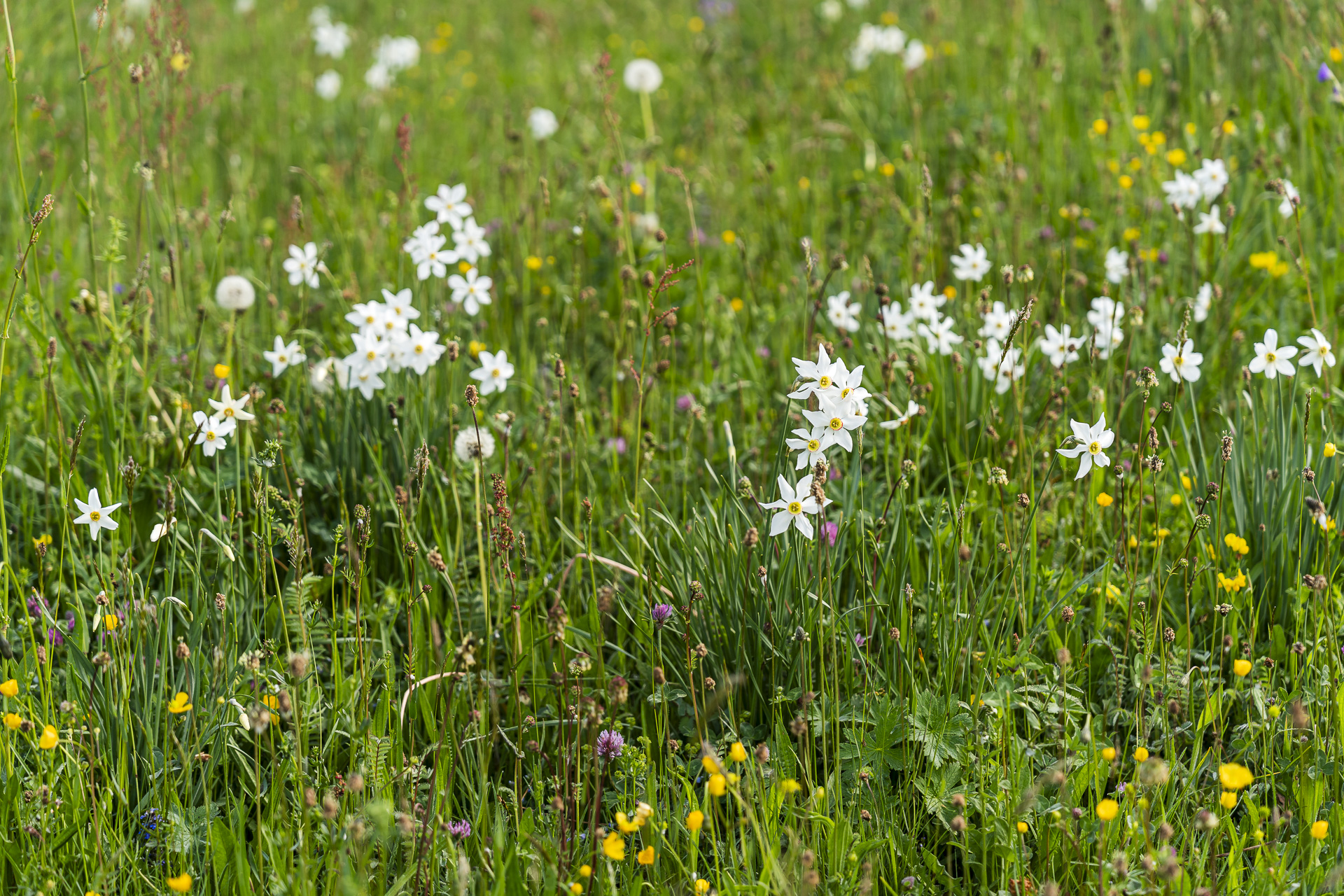
After a short breather we follow the signpost toward Les Avants. A short but fairly steep descent follows, with partially uneven steps down to Azot. On the subsequent section up to just before the village entrance of Les Avants, if the timing is right you can look forward to an impressive burst of blossoms. Numerous wild narcissi still bloom on the meadows and pastures on the sunny southeast slopes of the Cubly.
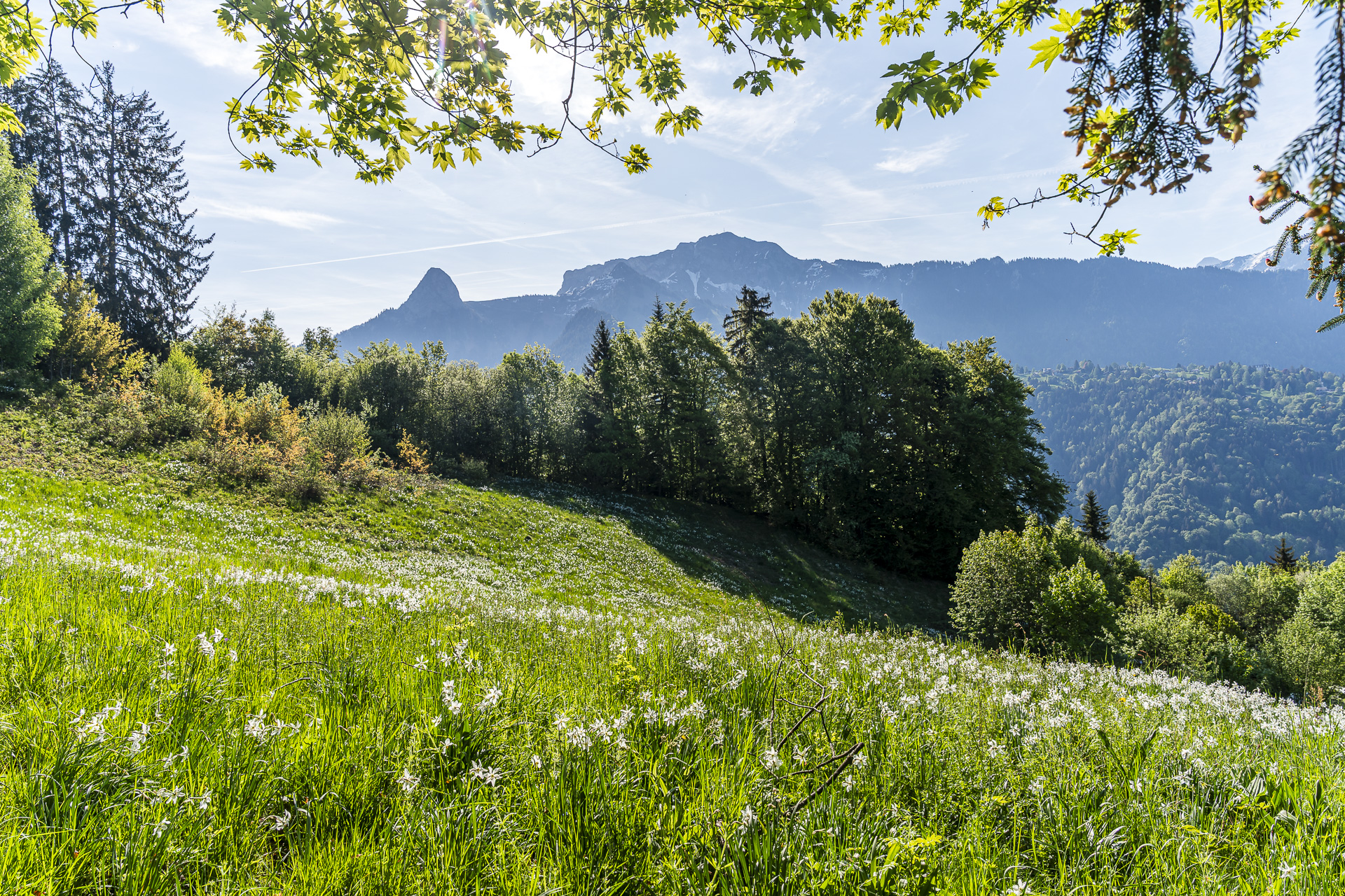
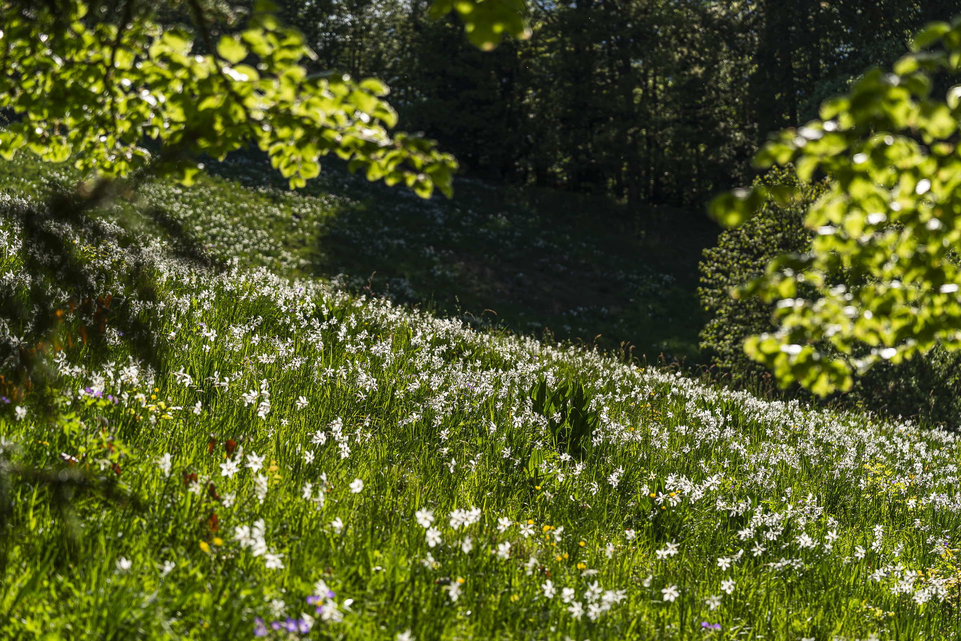
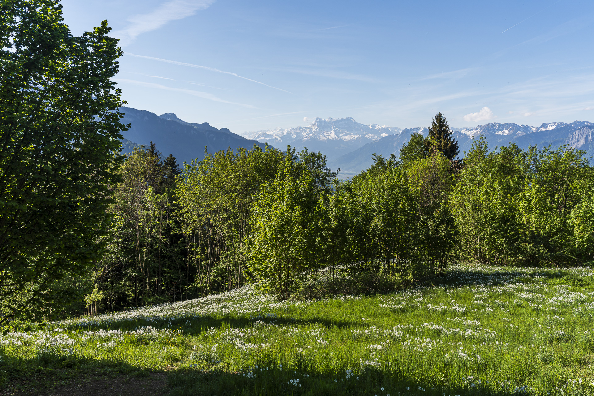
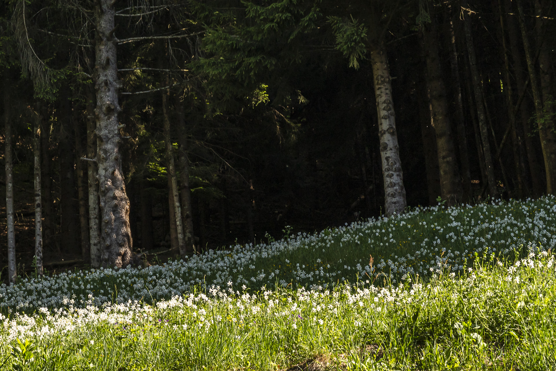
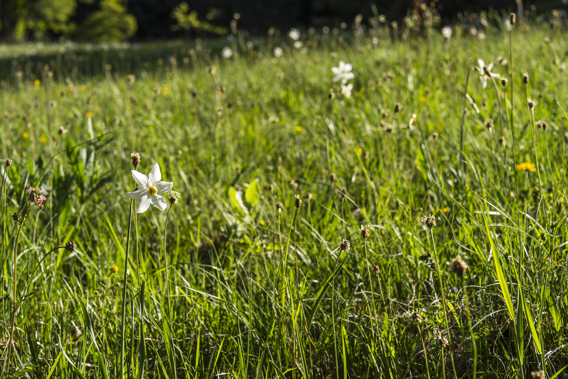
But because the population is also declining here, most of the narcissi fields are fenced off. This prevents the delicate plants from being trampled or picked. During the Belle Époque it was different: back then the narcissus bloom was celebrated with large festivals, and wealthy spa guests took the flowers home by the crate. Today that is definitely no longer acceptable. Instead, benches placed between the narcissi fields invite you to quietly enjoy the abundance of flowers.
Key facts of the Chemin des Narcisses
The following hiking map shows the route of the Chemin des Narcisses, laid out as a circular hike. The route is continuously signposted with route number 133 and runs along official, yellow-marked hiking trails (T1). Forest and meadow paths predominate along the route.
Technically the hike is easy and presents no particular difficulties. The short climb up to Sonloup requires some fitness. Alternatively, you can use the funicular for this section (runs on request on site every 15 minutes).
| Starting point | Les Avants train station (969 m above sea level) |
| Accessibility | accessible by public transport |
| Length | 5.6 kilometers |
| Elevation | ↗ 369 m ↘ 368 m |
| Duration | 2:00 h |
| Destination | Les Avants train station (969 m above sea level) |
| Refreshments | Auberge de la Cergniaulaz (about a 20-minute extra loop) |
Optional extension: Through the Gorge du Chauderon to Montreux
If the loop on the Chemin des Narcisses feels too short, you can easily extend the hike. We spontaneously decided in Les Avants to follow the signposts toward the Gorge du Chauderon and walk back to Montreux.
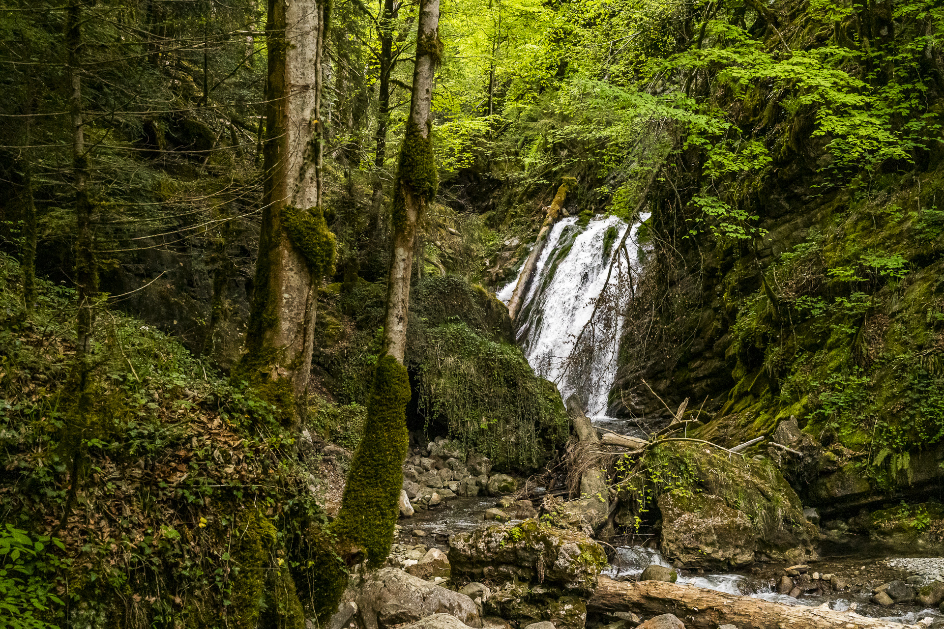
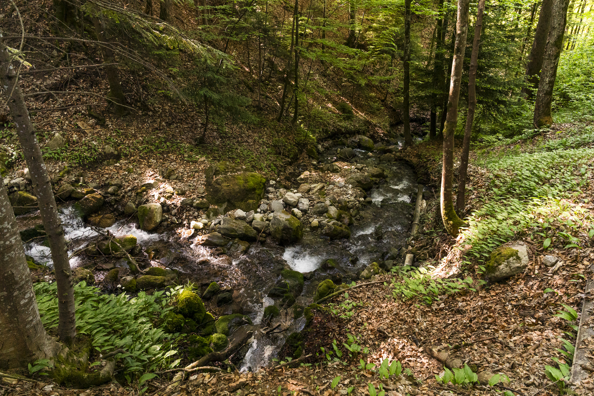
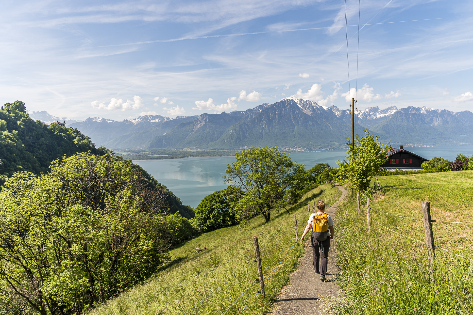
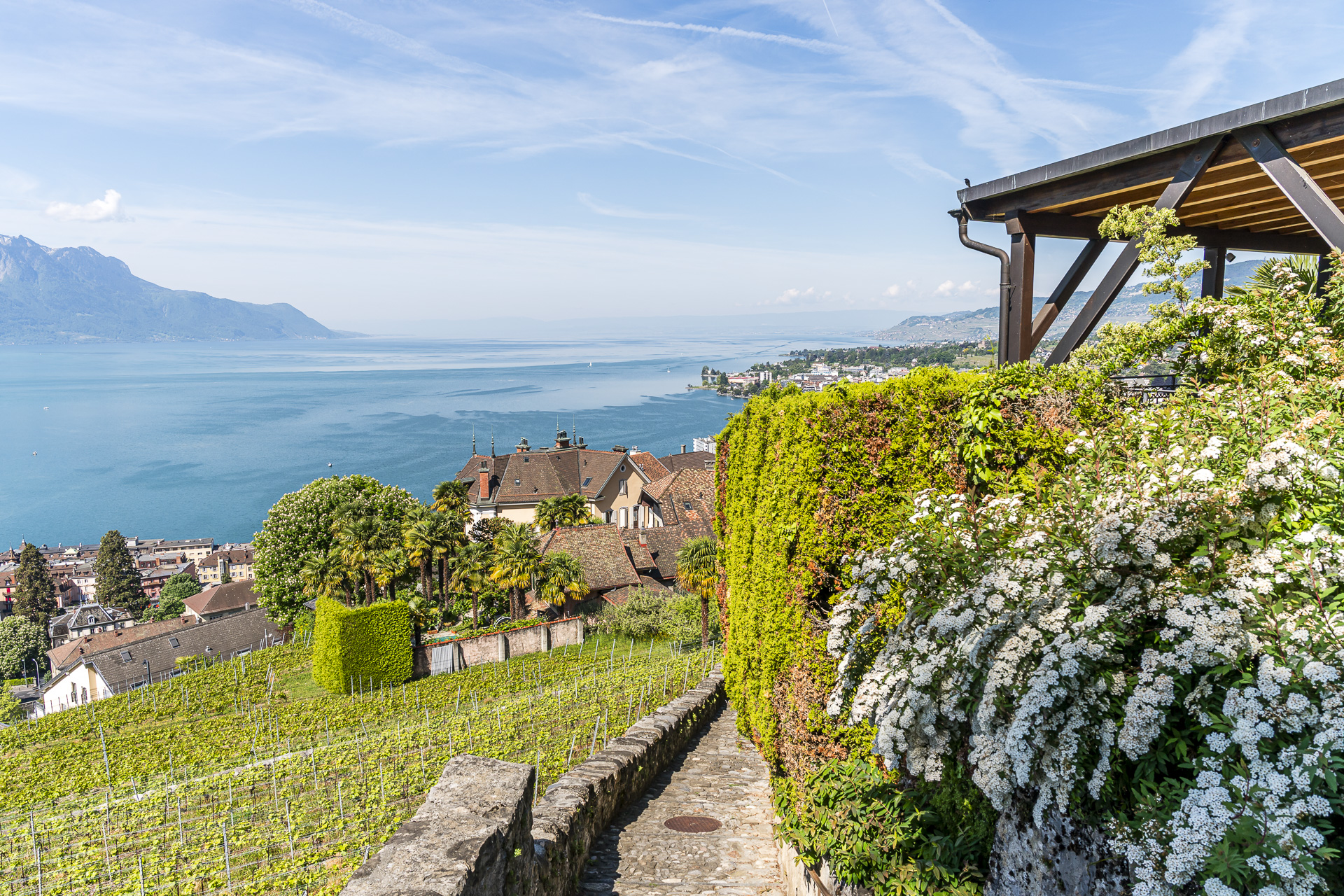
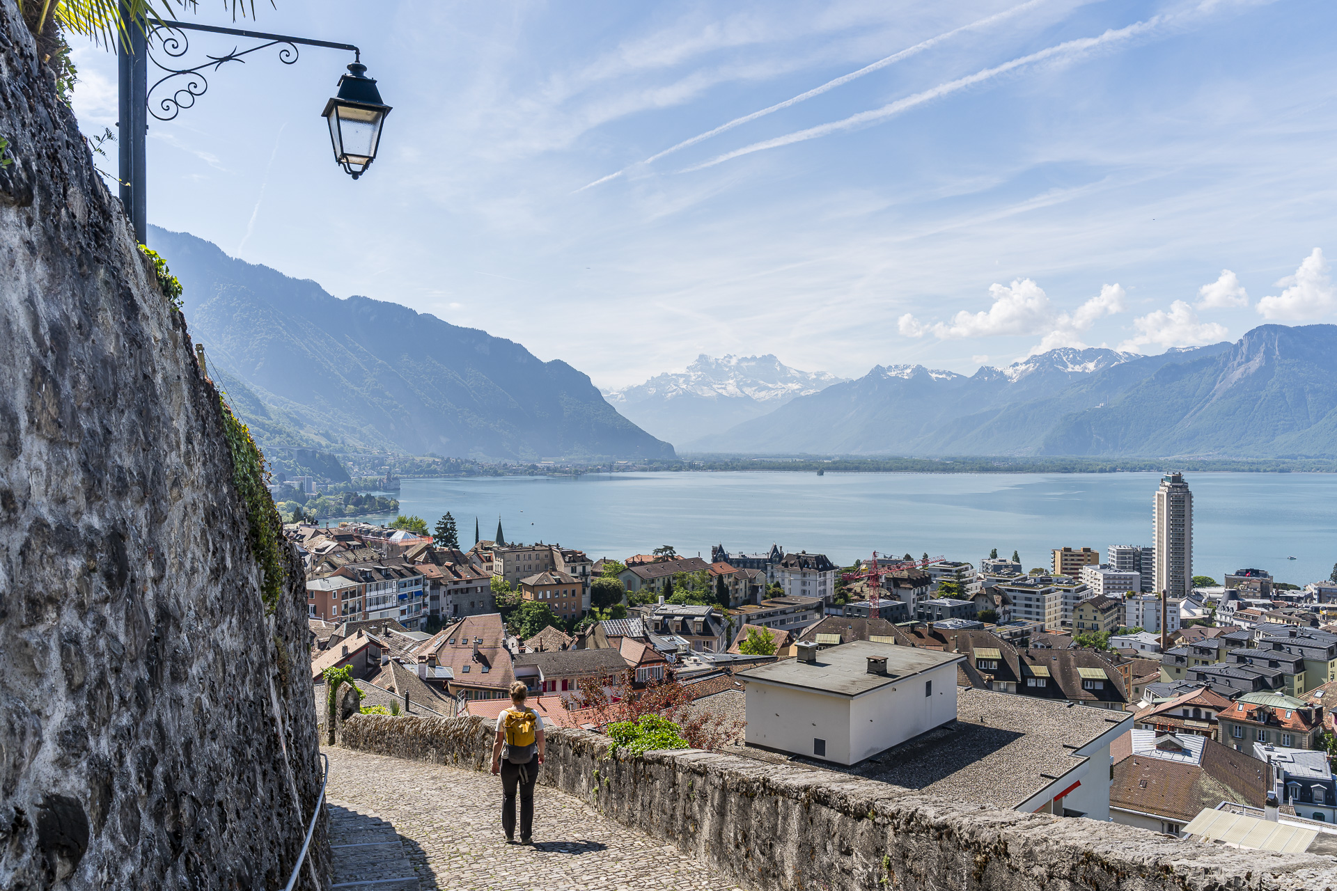
The lowest section of the gorge is currently still closed for safety reasons (winter closure). The tourist office confirmed the closure listed on SchweizMobil when I inquired. In recent years this section has usually reopened from mid to late May. Nevertheless, this route is worthwhile, as it runs through the upper part of the gorge, which is open year-round. From the Pont de Pierre we chose an alternative route via Sonzier because of the winter closure and were pleasantly surprised. This variant doesn’t offer the full gorge atmosphere, but it provides a successful mix of a cool, shaded path along the gorge and beautiful views over Montreux. In places the narrow footpaths even give the section almost a touch of Ticino flair.
Key facts for the variant via Gorge du Chauderon
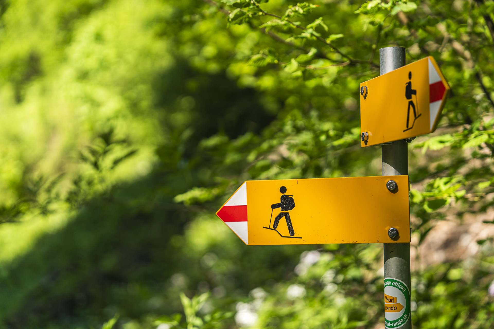
The following hiking map shows the route of the tour on the “Chemin des Narcisses,” including the descent through the Gorge du Chauderon to Montreux. While the circular hike is a technically easy route, the path through the gorge is signposted as a mountain hiking trail (white-red-white markings). If you branch off in Les Avants onto this variant, you will also pass a sign that warns of the potential dangers of this section. Accordingly: good footwear and sure-footedness are a must here.
The first section is particularly demanding: over the first roughly 800 meters you descend about 170 vertical meters into the gorge on narrow, partly slippery paths. From trail marker 793 the path becomes wider and noticeably less steep.
Once the lowest section of the gorge opens up again, you can, after the Pont de Pierre, keep to the left and, after a short stretch on the paved road, pass through a “gate” to return to the gorge path and follow it downhill to Montreux.
But as noted above: the variant shown here also pleasantly surprised us.
| Starting point | Les Avants station (969 m above sea level) |
| Accessibility | accessible by public transport |
| Length | 10.5 kilometers |
| Elevation change | ↗ 410 m ↘ 989 m |
| Duration | 3:20 h |
| Destination | Montreux station (400 m above sea level) |
| Refreshments | – |
Practical tips for your hike on the Chemin des Narcisses
- Getting there and back:
During peak times, trains from Montreux to Les Avants run at least hourly. - Best time of year:
The tour is especially rewarding in early to mid-May during the daffodil bloom. The variant that includes the Gorge du Chaudron is also suitable on hot summer days, as the shaded gorge section provides pleasant cooling. - Refreshments:
Along the route, nicely situated benches and rest areas repeatedly invite you to a picnic. If you prefer to stop for a meal, you can plan an additional loop to Auberge de la Cergniaulaz plan. Unfortunately, we didn’t have time on this trip to visit the restaurant known for its seasonal market cuisine – so it remains on my bucket list. If you choose this gourmet option, I’d be happy to hear your feedback. - More tips:
In my separate post on Daffodil Bloom in Montreux you’ll find additional info and inspiration for further hikes in the region.

Leave a Reply