



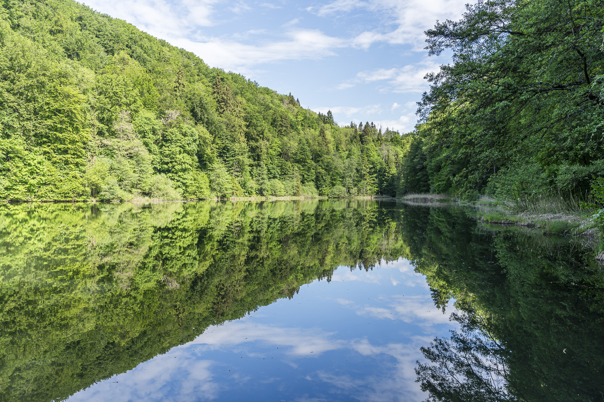
Hike from Baden through the Teufelskeller to the Egelsee
Sometimes you don’t need hours of travel or spectacular summits to find hiking bliss. This is exactly what this hike from Baden through the Teufelskeller natural forest reserve to the Egelsee above Kindhausen shows.
On this varied hike you’ll encounter enchanted stretches of forest, narrow trails and lovely views over the Limmattal. Via the Rüsler the route ultimately leads to the idyllic Egelsee.
Start in the spa town of Baden
The tour starts at Bahnhofplatz Baden, where signposts point in every direction and the hiking possibilities seem almost endless. The Egelsee is already signposted here as one of many destinations and guides us toward Badstrasse. Although it’s only early Saturday morning, there’s already lively activity. That’s because the Badener weekly market takes place every Tuesday and Saturday. At one stall I spot fresh Swiss strawberries and briefly consider buying them and carrying them over the Heitersberg for the next three hours. They wouldn’t be heavy, but how intact they’d be when I reached the destination was doubtful. So I leave them be.
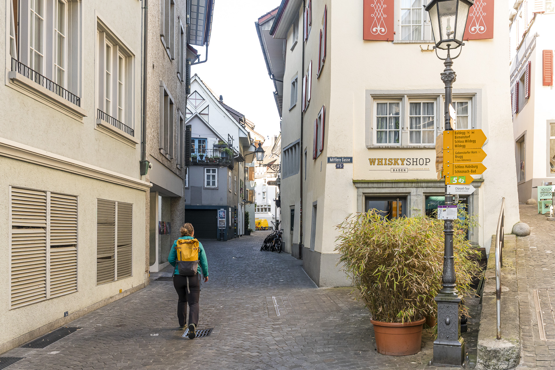
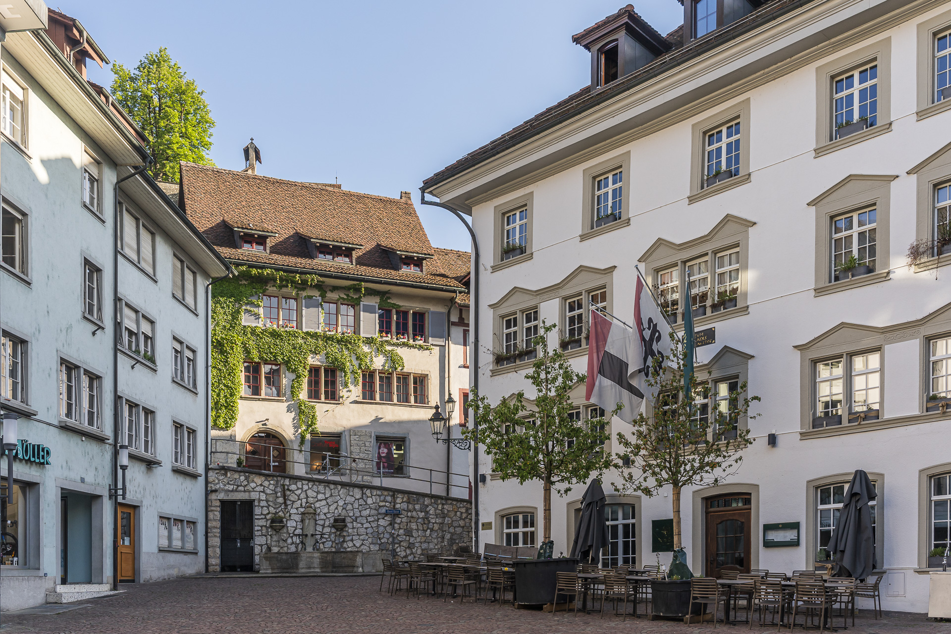
The trail takes us under the Limmat high bridge toward the Oberstadt. There we use the footbridge to cross the tracks and a few minutes later find ourselves already in the thick green of the forest on Kreuzliberg.
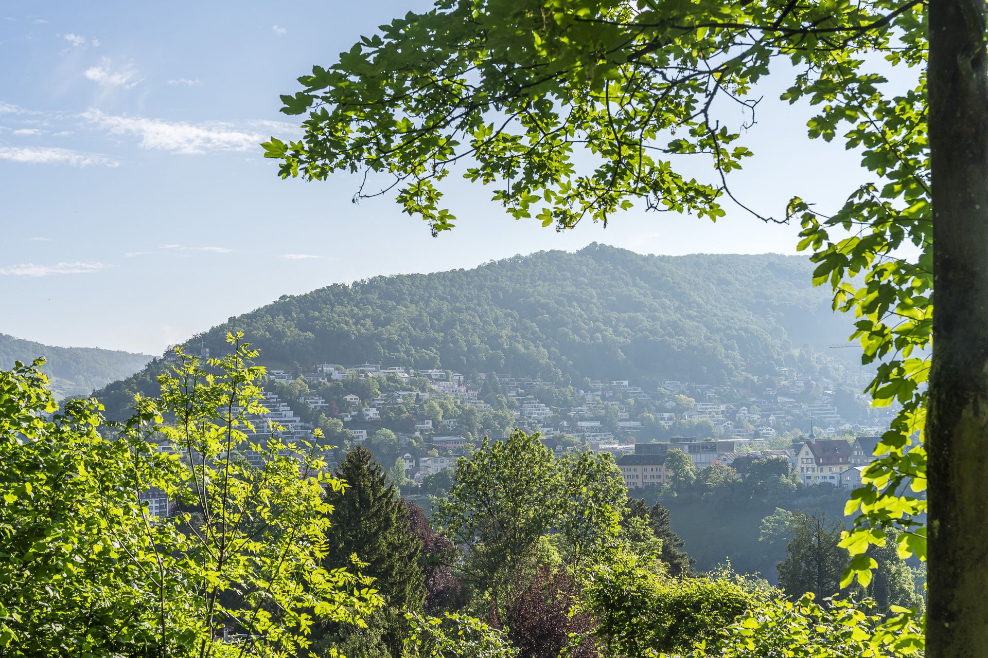
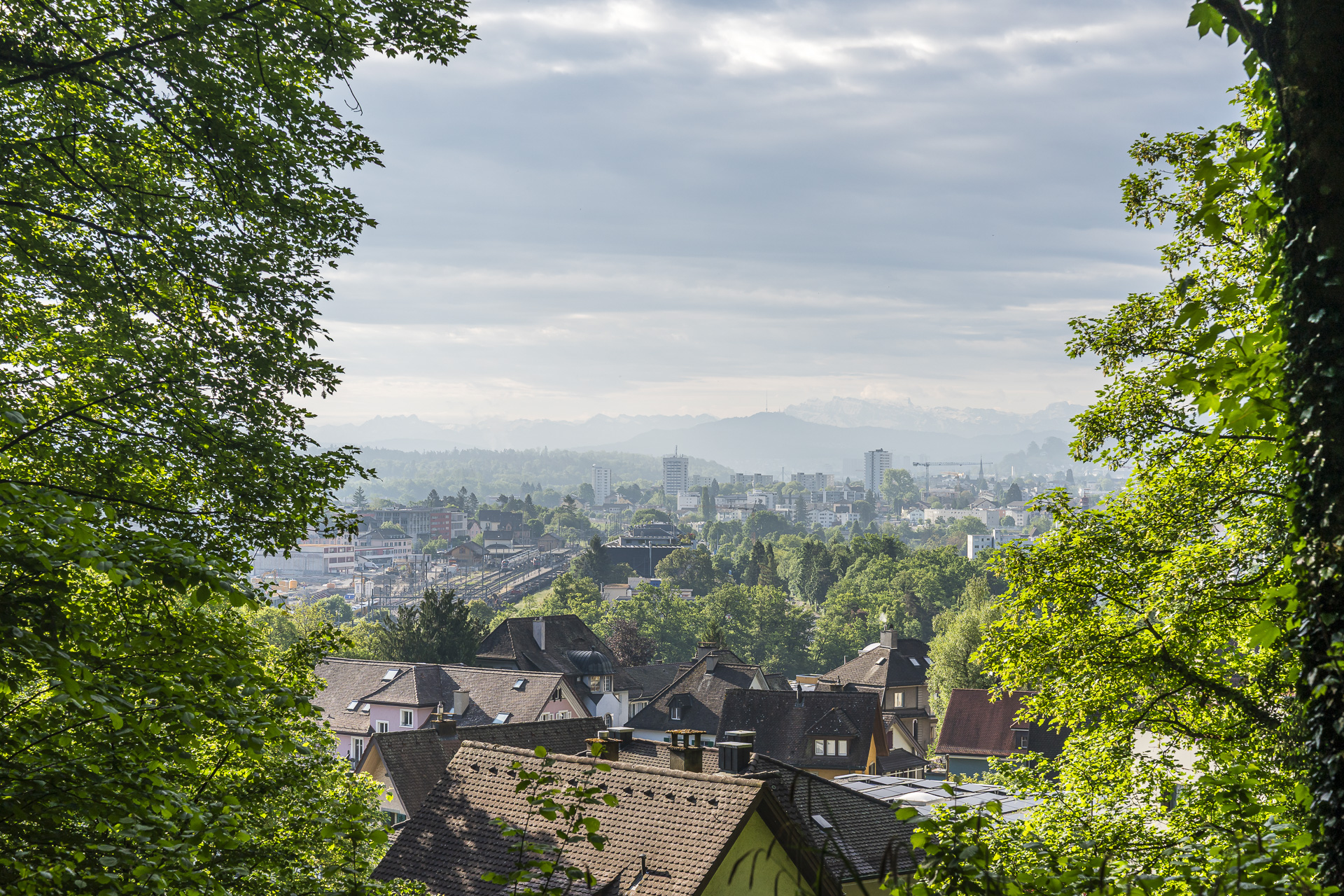
We now follow the paved Teufelskellerstrasse southeast. Here and there the dense greenery opens the view over the roofs from Wettingen to the Lägern and on to the industrial areas of Killwangen-Spreitenbach. After just under 15 minutes of a leisurely forest walk, a path branches off uphill to the right. Shortly after we dive into the unique mountain-and-valley landscape of the Teufelskeller.
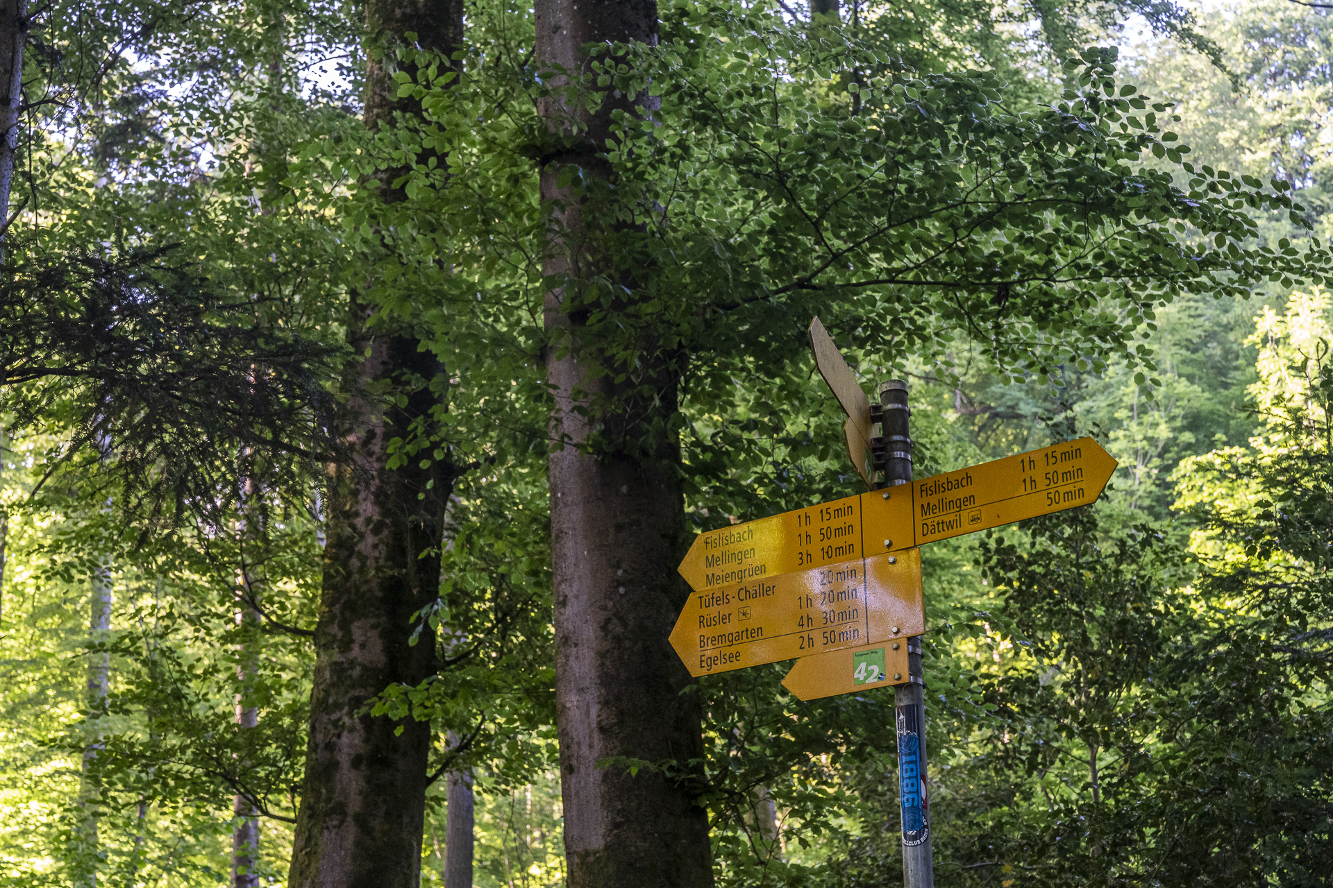
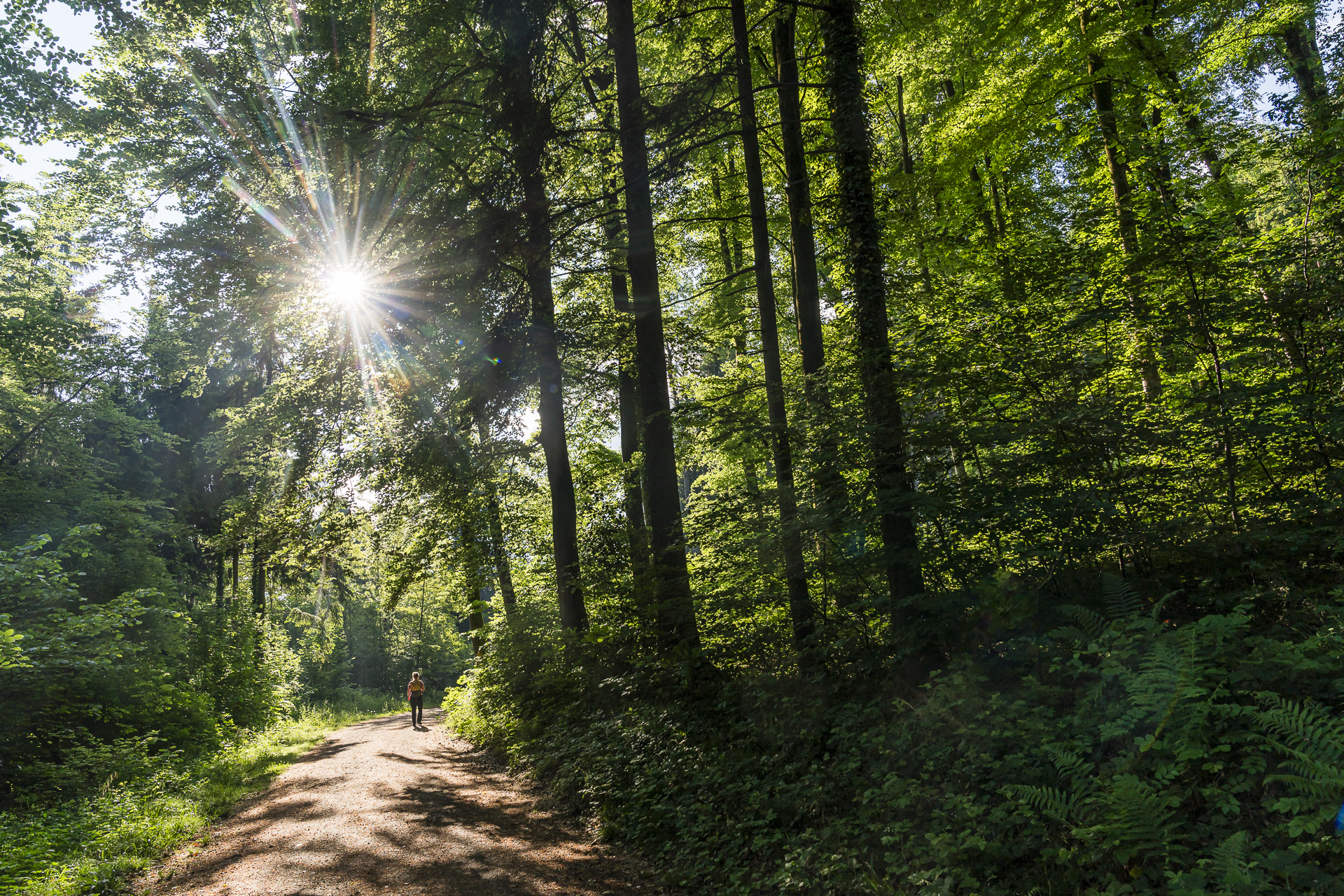
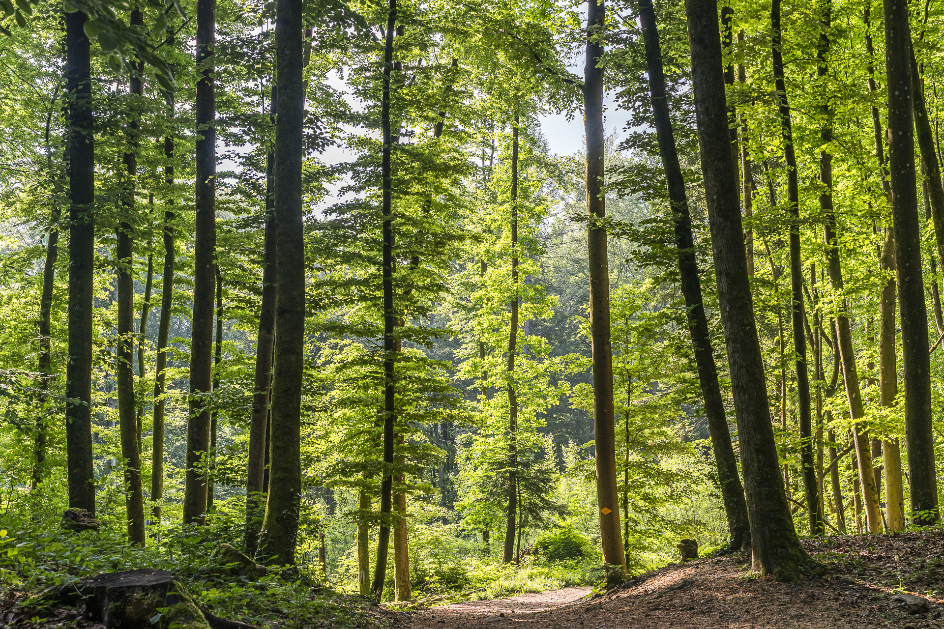
On enchanted paths through the Teufelskeller natural forest reserve
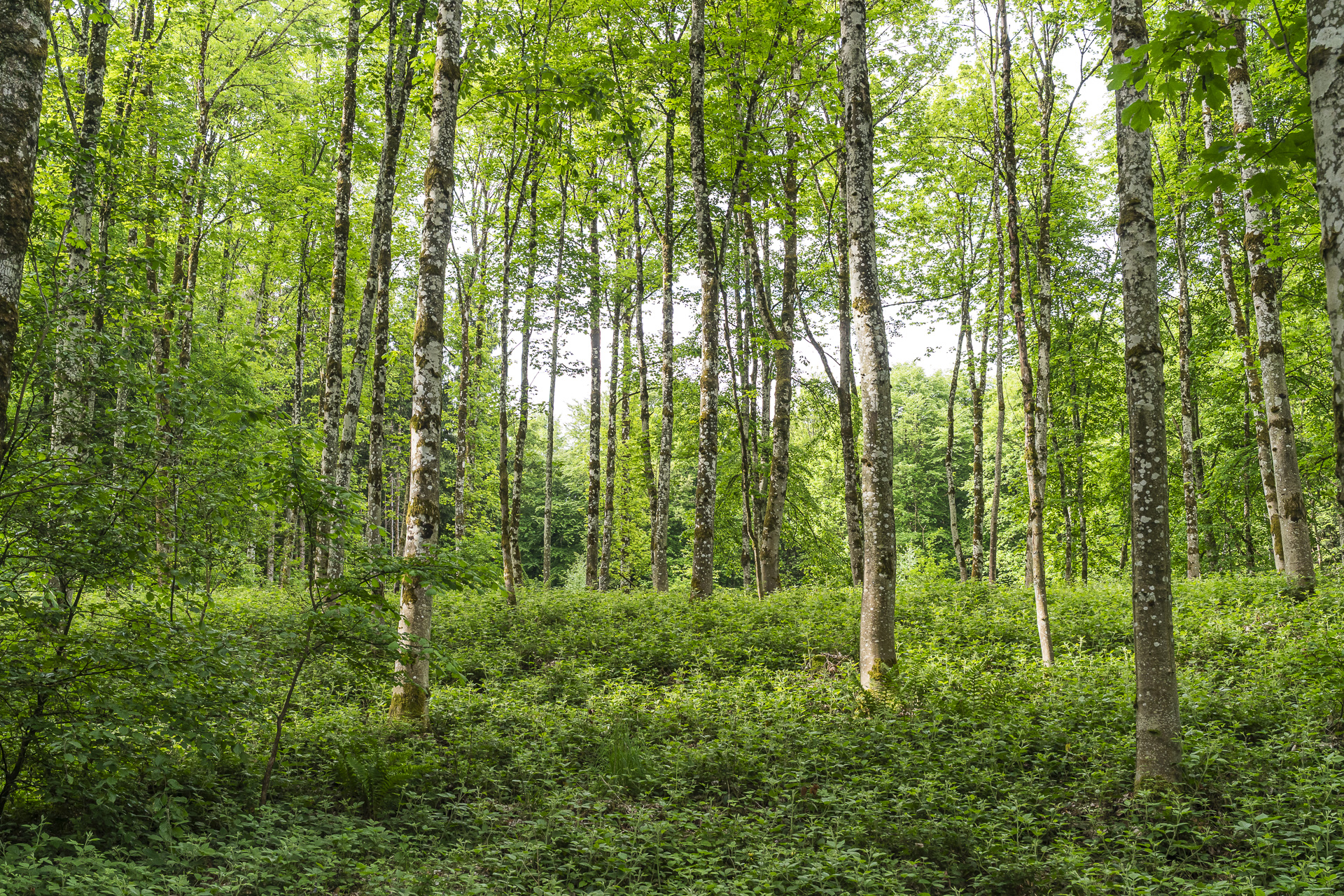
The impressive rock towers and fields of rockfall on the east slope of the Baregg were created at the end of the last ice age by a massive collapse of rock. Because the rugged terrain was difficult to access, the forest here was hardly ever managed. In 1987 the area was finally declared a nature reserve.
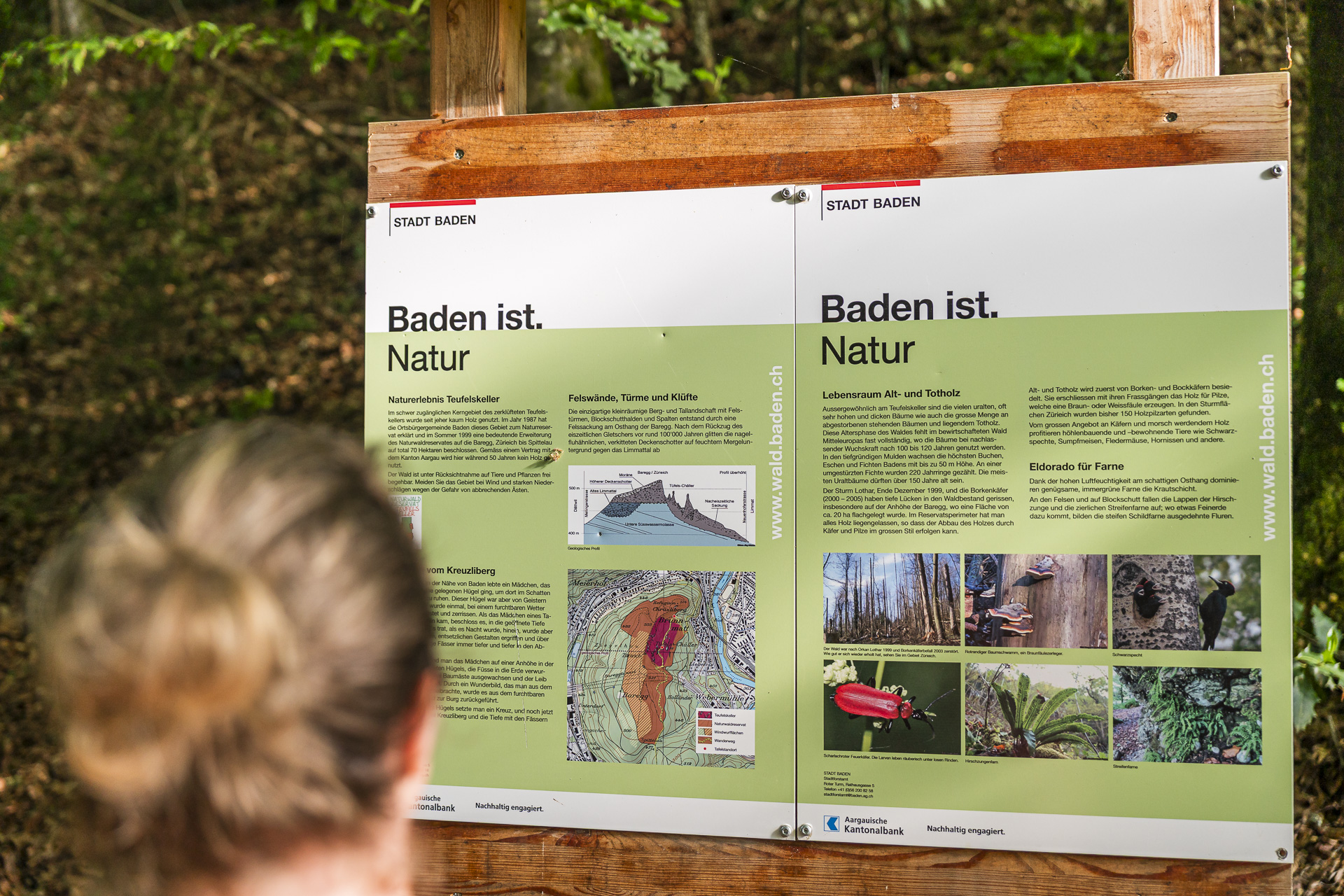
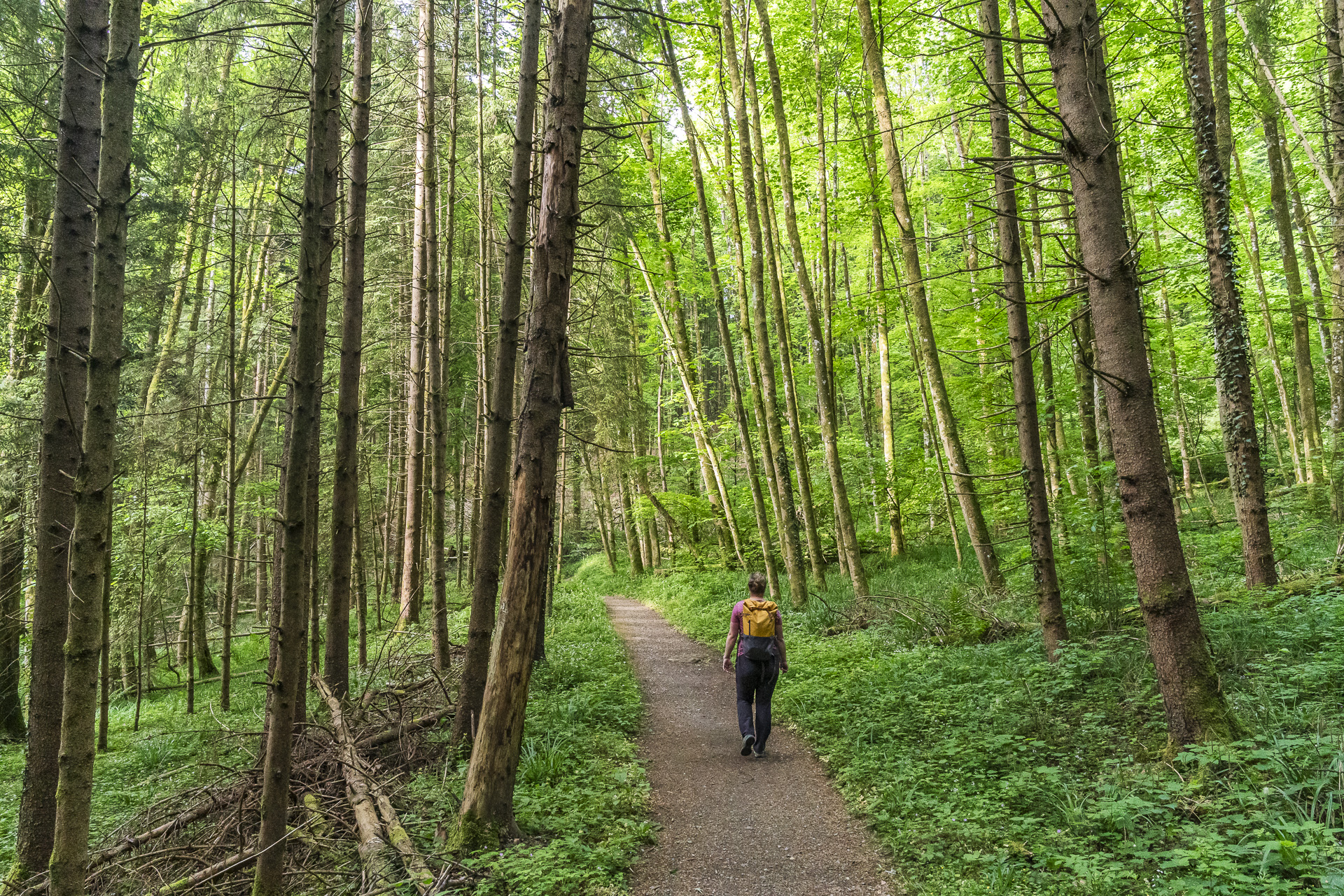
All around us a chorus of birdsong rings out, along with the gentle rustle of the canopy in the wind. For once the term “forest bathing” really hits the mark. Only the distant roar of cars at the tunnel portal of the Baregg Tunnel reminds us how close we actually still are to the densely populated Limmattal.
Over Baden’s highest point to the Rüsler
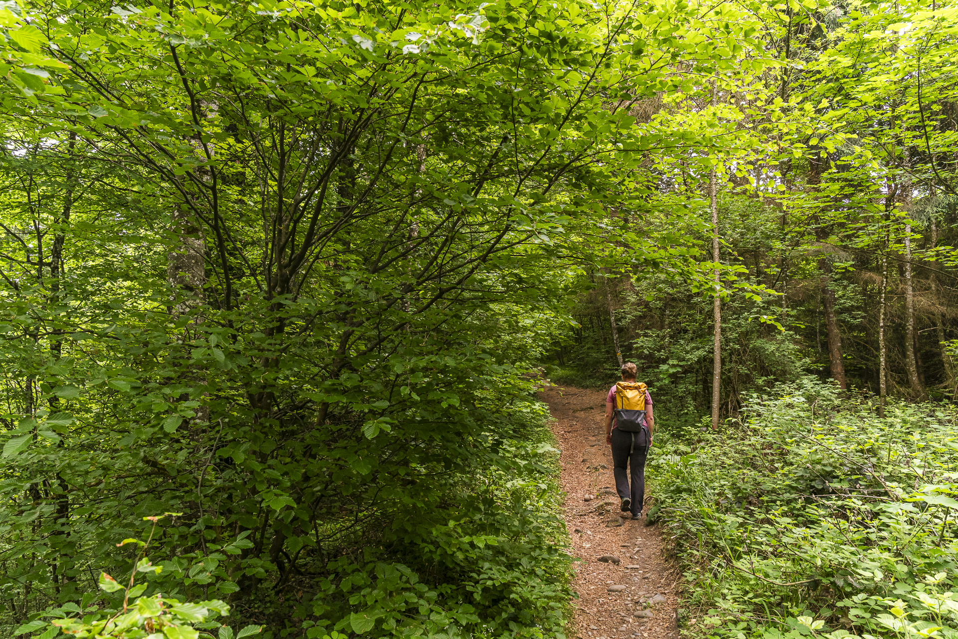
The stretch through the Teufelskeller natural forest reserve is a real joy and for me clearly one of the highlights of this hike. Up to the height of Spittelau we follow the course of the 4th stage of the Aargau Trail (Route 42). At the next fork we turn onto a gravel path that continues uphill. Our next interim goal is the highest point within Baden’s city limits at 619 m above sea level.
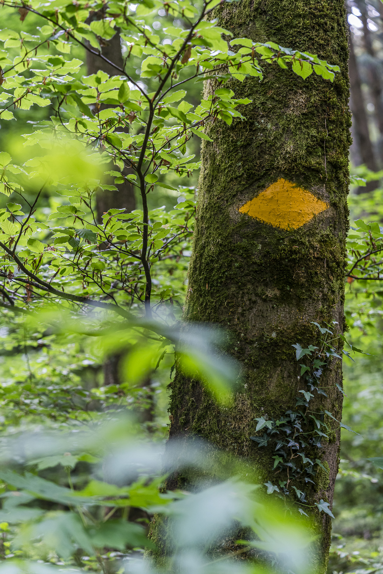
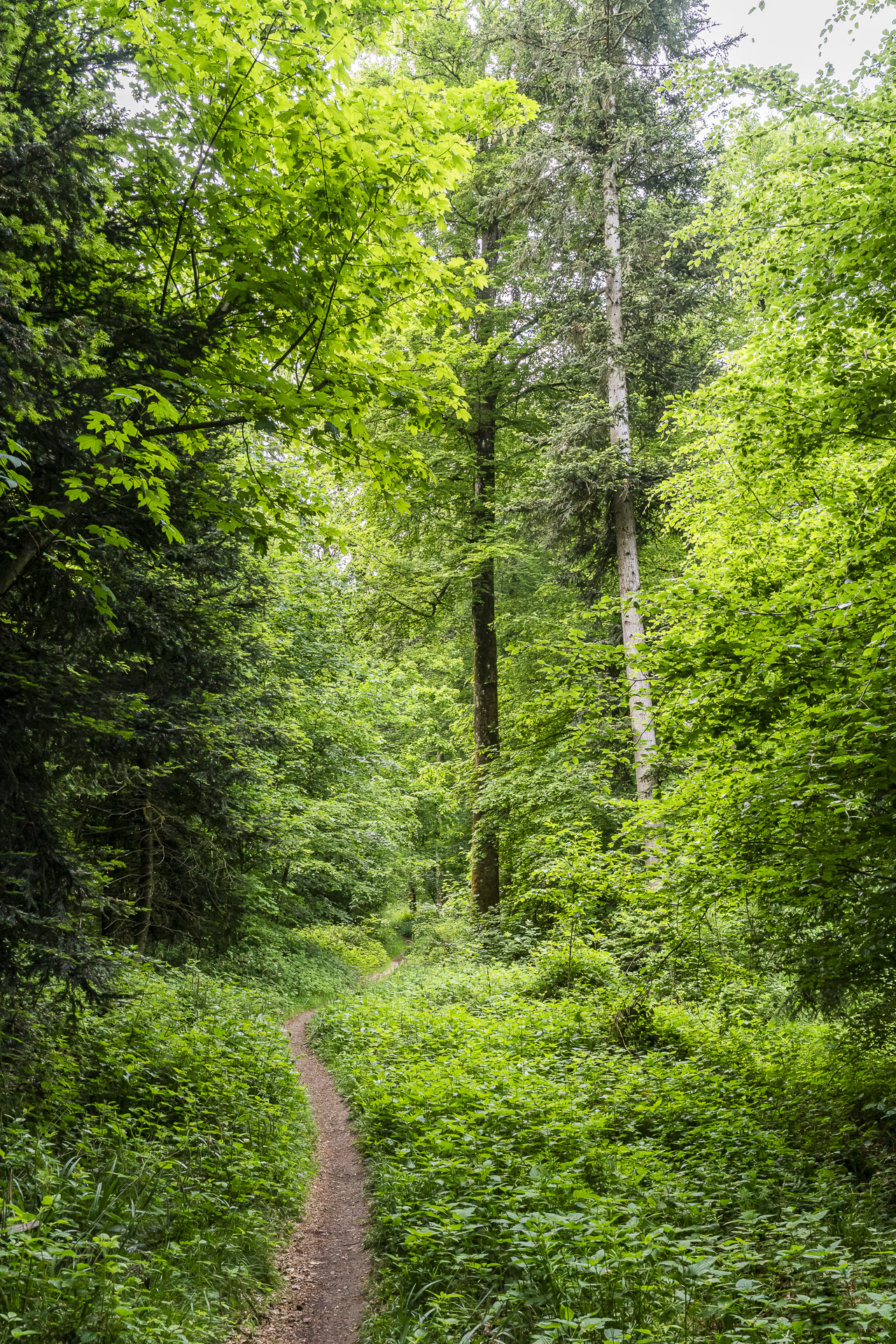
The spot lies not far from the point marked “Oberau” on the swisstopo map in the border area of Baden, Fislisbach and Neuenhof. Thanks to a small sign and a large boundary stone, it’s hard to miss. From here it’s only a short distance to the Rüsler clearing, where the eponymous restaurant is also located. We pause briefly, let our gaze wander over the forested slopes on the opposite side of the valley and, after a short drink break, dive back into the lush green of the forest.
With wide views over the Limmattal to the Egelsee
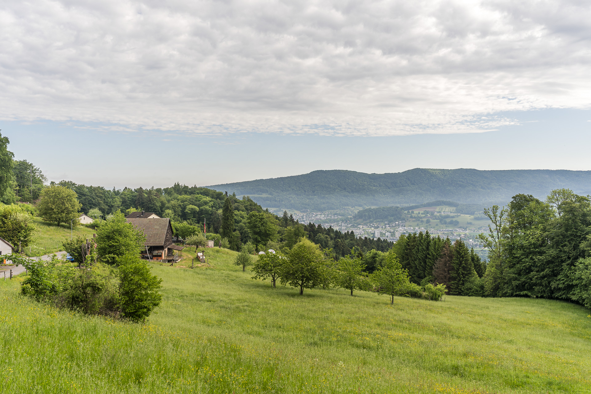
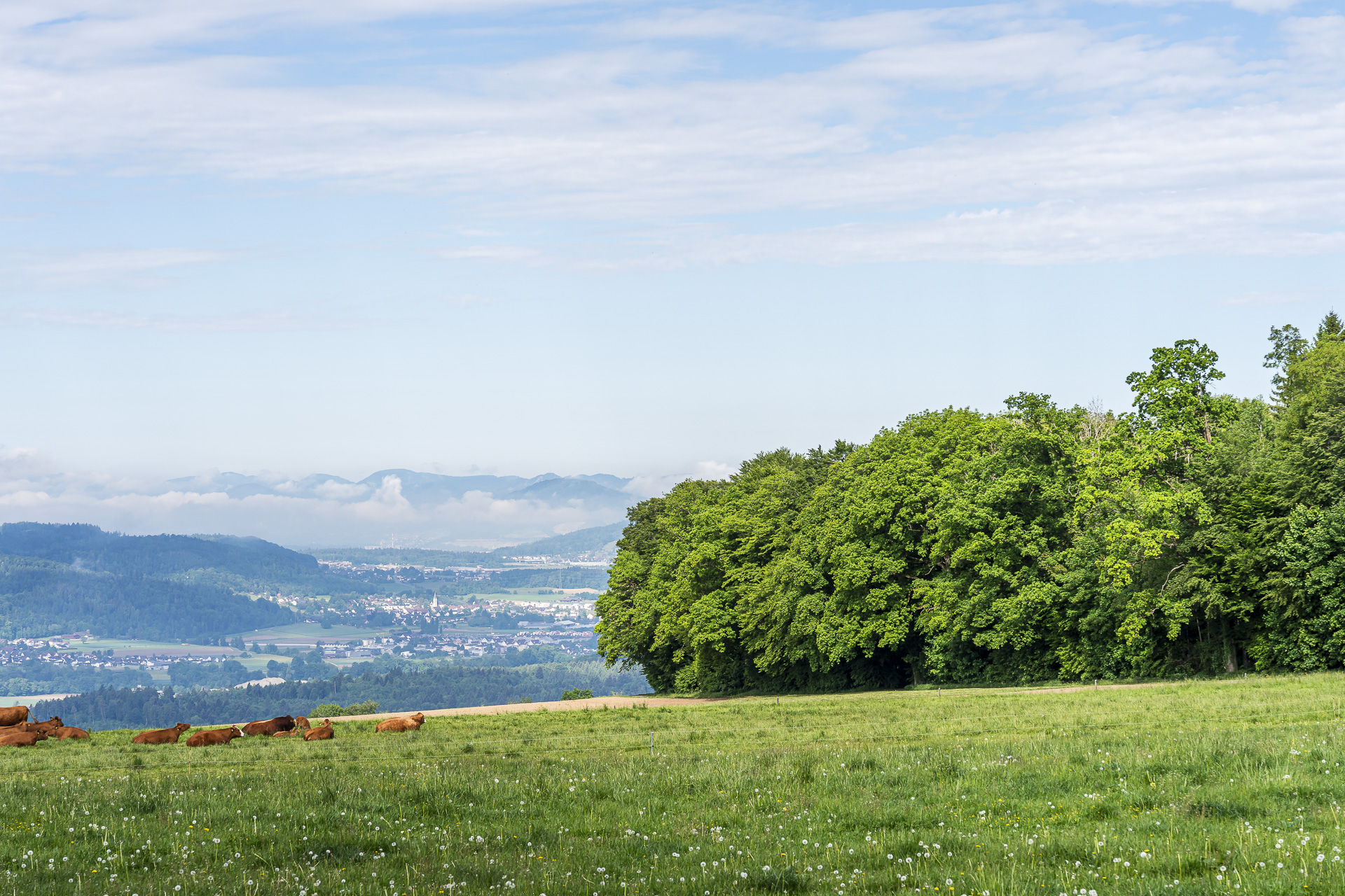
After another roughly 15 minutes on forest paths, at the height of “Oberhaberrüti” the next especially beautiful stretch follows. A narrow path runs along the forest edge above the “Sänneberg” and opens up a wide view from the Furttal over the Altberg and Uetliberg to the still snow-covered Glarus Alps. Truly beautiful!
Along this stretch there’s also a cozy Brätliplatz with a glorious view. However, you must bring your own wood.
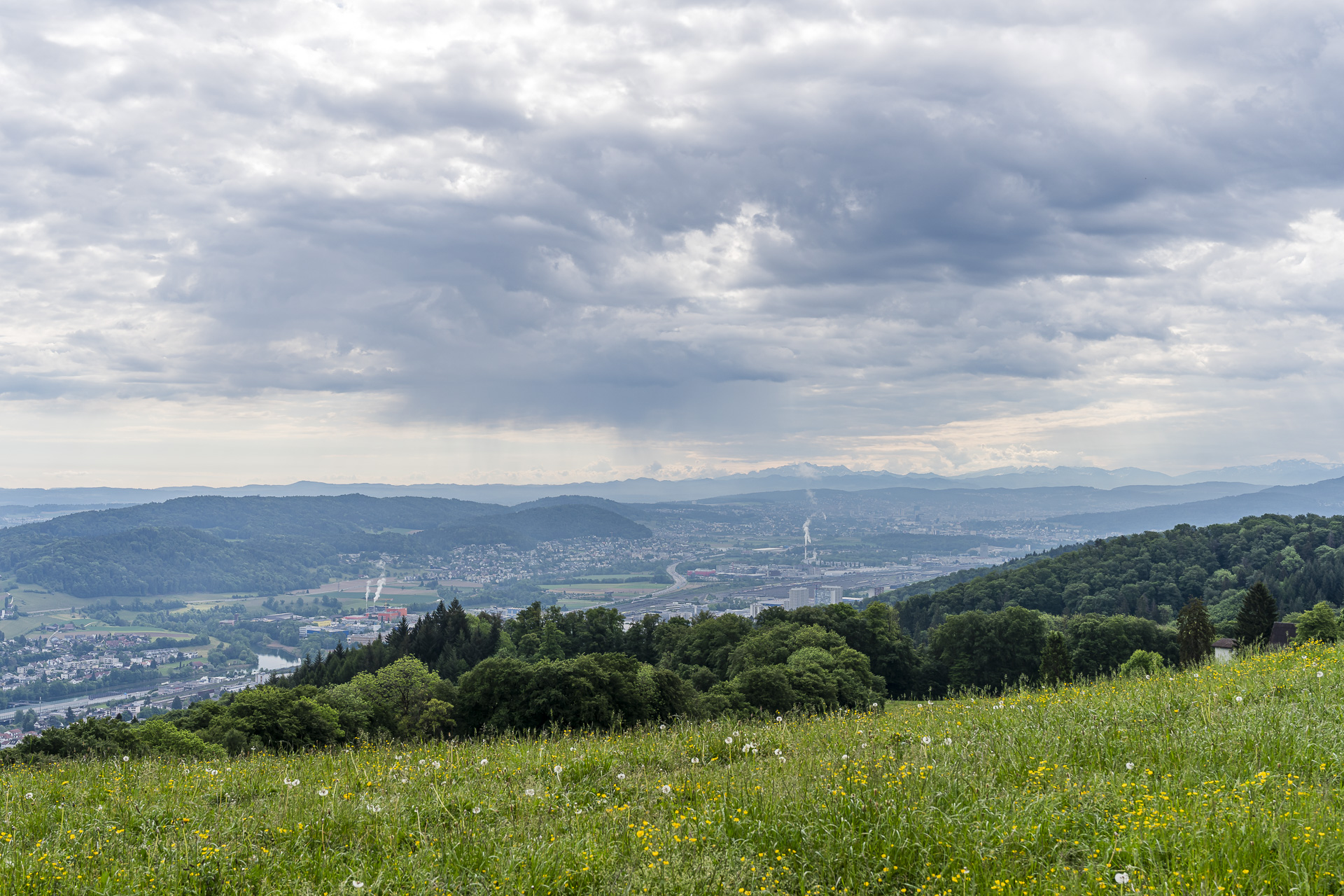
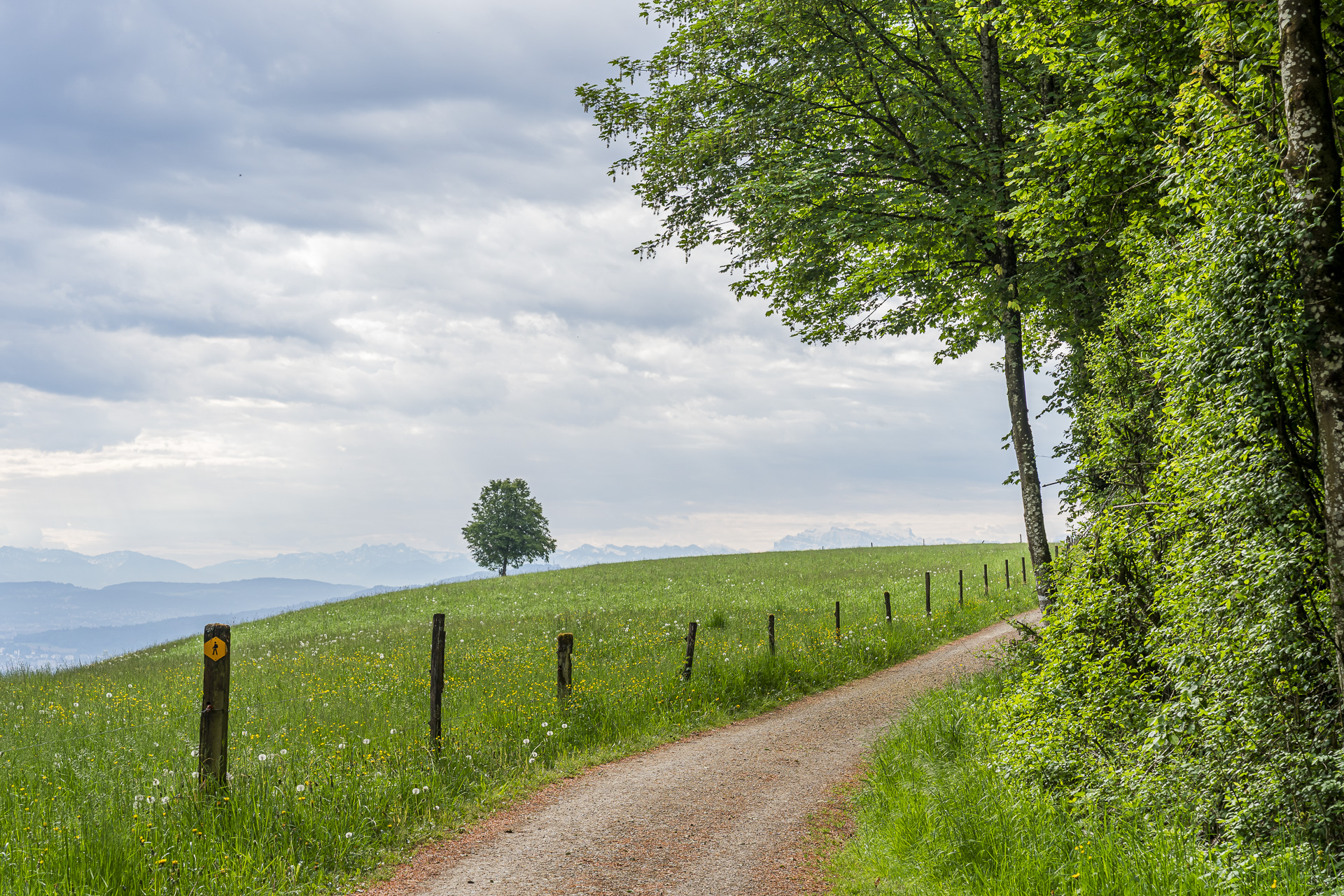
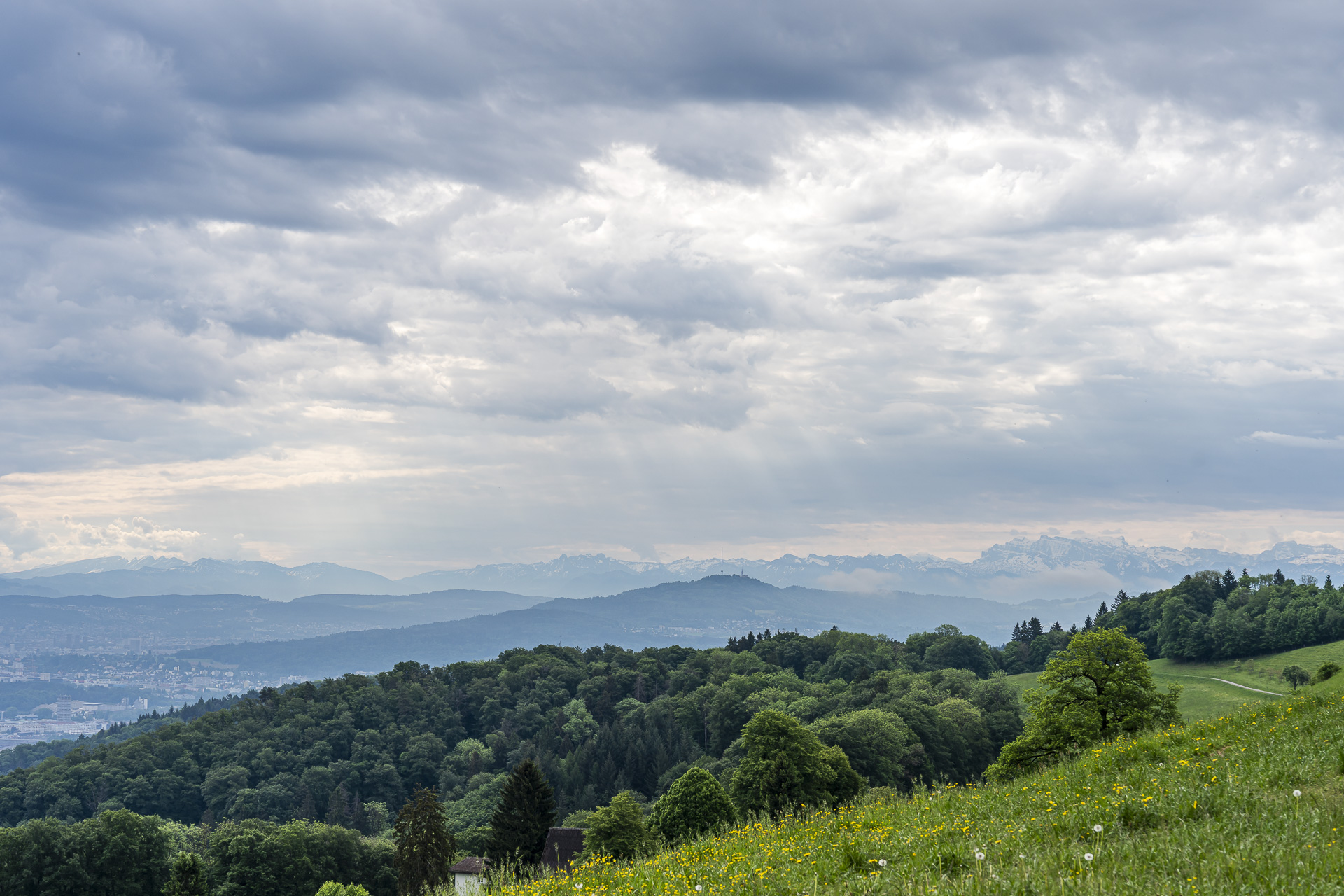
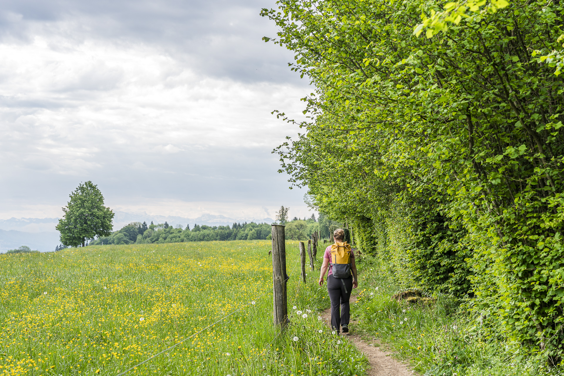
We now cross the Zürichstrasse and continue toward the hamlet of Sennhof. Here for the first time a view opens into the Reuss valley running parallel to the Limmattal. It’s not far to our next interim goal now. Behind the hamlet the path leads slightly uphill again before descending over several switchbacks to the shore of the idyllic Egelsee.
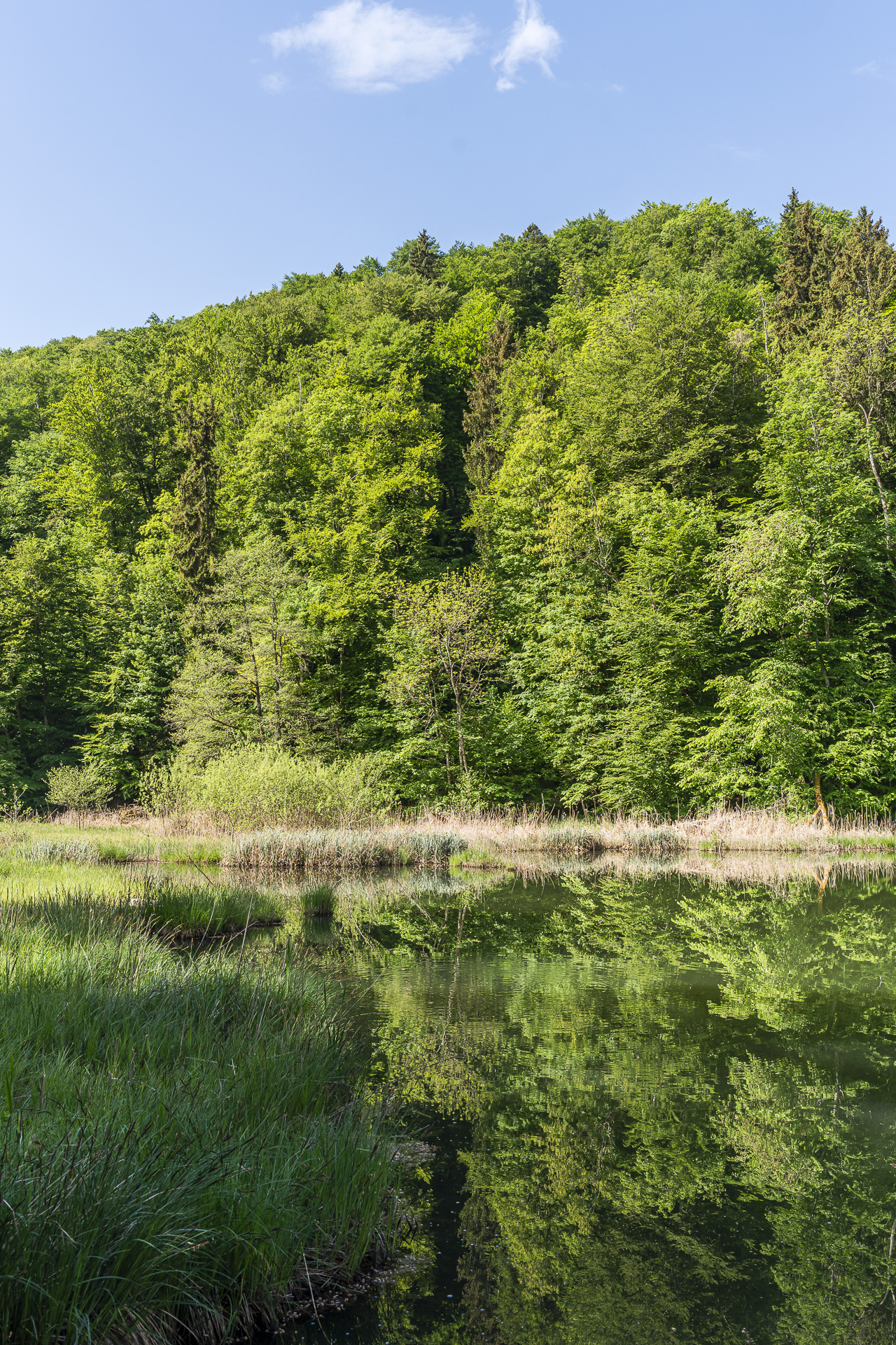
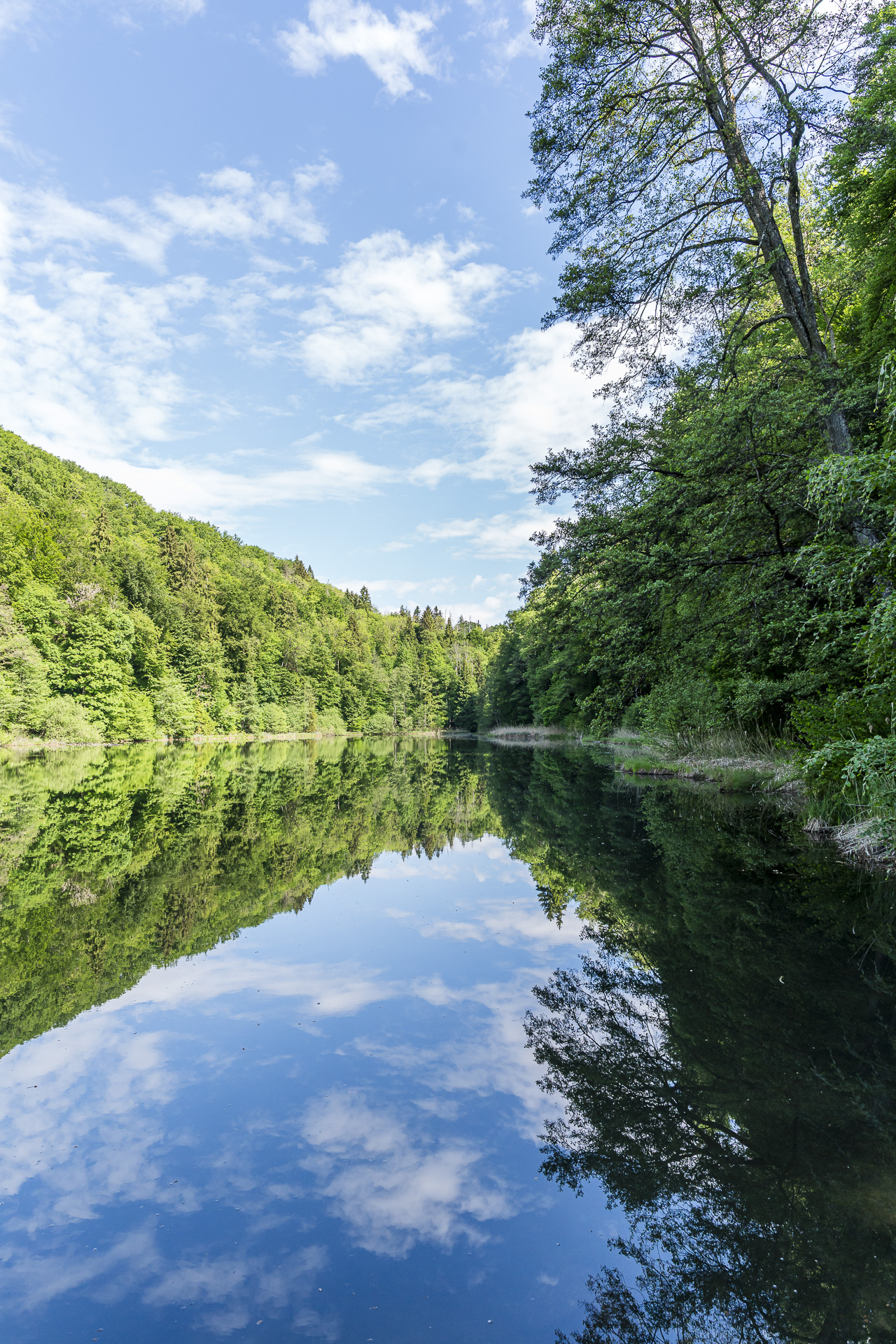
On warm summer days it can get rather livelier around the natural bathing lake. This Saturday, however, we can almost count the people we encountered along the way on one hand.
It’s worth a quick look at the clock here: since buses run every half hour from Kindhausen to Dietikon station, depending on the timetable you can still take a relaxed break at the Egelsee. For the remaining distance to the bus stop you should allow about 25 minutes.
This hike reminded me once again that you don’t always have to travel far for impressive encounters with nature. The combination of wild woodland, scenic trail sections and the idyllic Egelsee makes the route one of my favorite discoveries in the Agglo Zürich. A hike that’s perfect for a spontaneous day trip.
Key facts for the hike Baden – Teufelskeller – Rüsler – Egelsee – Kindhausen
The map below shows the route from Baden through the Teufelskeller nature forest reserve and onward via Rüsler and Egelsee to Kindhausen AG. The route is continuously waymarked as a yellow-marked hiking trail (T1). Along the route you mainly encounter natural forest and meadow paths. The proportion of paved surface is pleasantly low, with short paved sections at the beginning and end of the hike and just before the hamlet of Sennhof.
Technically the hike is easy and presents no particular difficulties.
| Starting point | Baden train station (385 m a.s.l.) |
| Accessibility | accessible by public transport |
| Distance | 14.4 kilometers |
| Elevation | ↗ 468 m ↘ 270 m |
| Duration | 3:50 h |
| Endpoint | Bus stop Kindhausen AG (581 m a.s.l.) |
| Food/refreshment option | Restaurant Rüsler (closed Monday and Tuesday) |
Practical tips for a hike from Baden to Egelsee
- Arrival and return: The hike starts directly at Baden train station. From the endpoint in Kindhausen, buses run every half hour to Dietikon train station.
- Best time of year: Especially beautiful in spring and early summer when the forest in the Teufelskeller is lush green. In autumn the colors of the leaves also create a lot of atmosphere. Thanks to the many shade-providing trees and the option to swim in the Egelsee, the tour can also be done on hotter summer days.
- Refreshments: Along the route several barbecue spots invite you to take a break. About halfway there is also Restaurant Rüsler, which serves hearty traditional cuisine and offers a nice view of the Limmattal from its sun terrace.
- If this hike is too long for you, you’ll find in this older blog post a much shorter option from Spreitenbach via Egelsee to Kindhausen.
Leave a Reply