



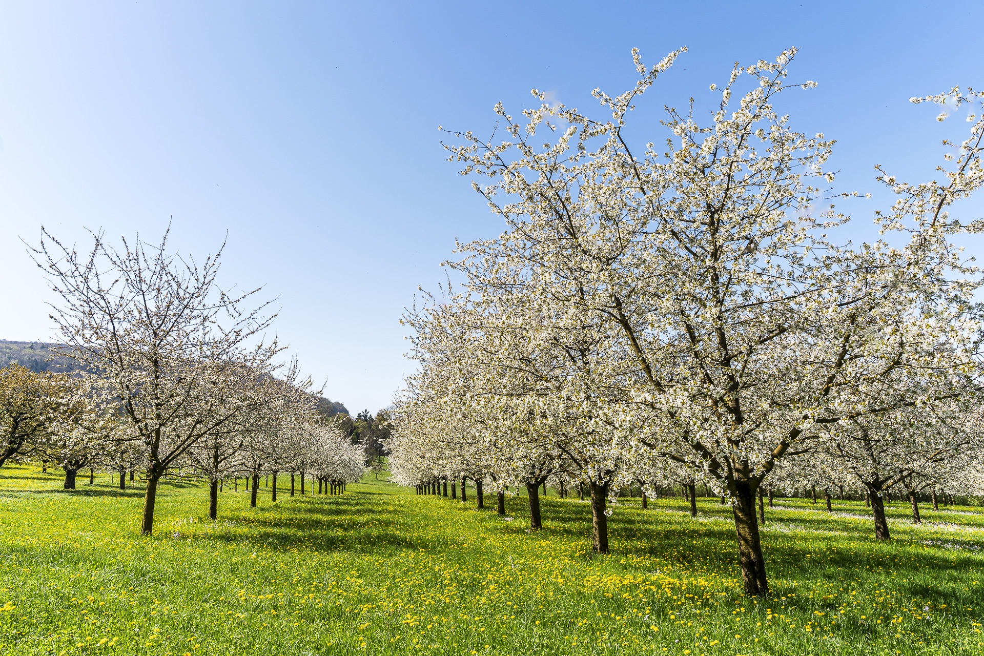
From Liestal to Arlesheim: Hike through the cherry blossoms near Nuglar
When the cherry trees bloom in the Baselbiet and the adjacent Schwarzbubenland, the landscape around Nuglar, St. Pantaleon and Büren is transformed into a white sea of blossoms. This is exactly where this varied hike runs — from Liestal straight through orchard meadows and over the Jura heights to Arlesheim.
Along the way, flowering fruit trees, scenic ridge paths and quiet stretches of forest alternate. A varied spring hike whose length can be adjusted flexibly.
From Liestal via the Sichtern to Nuglar
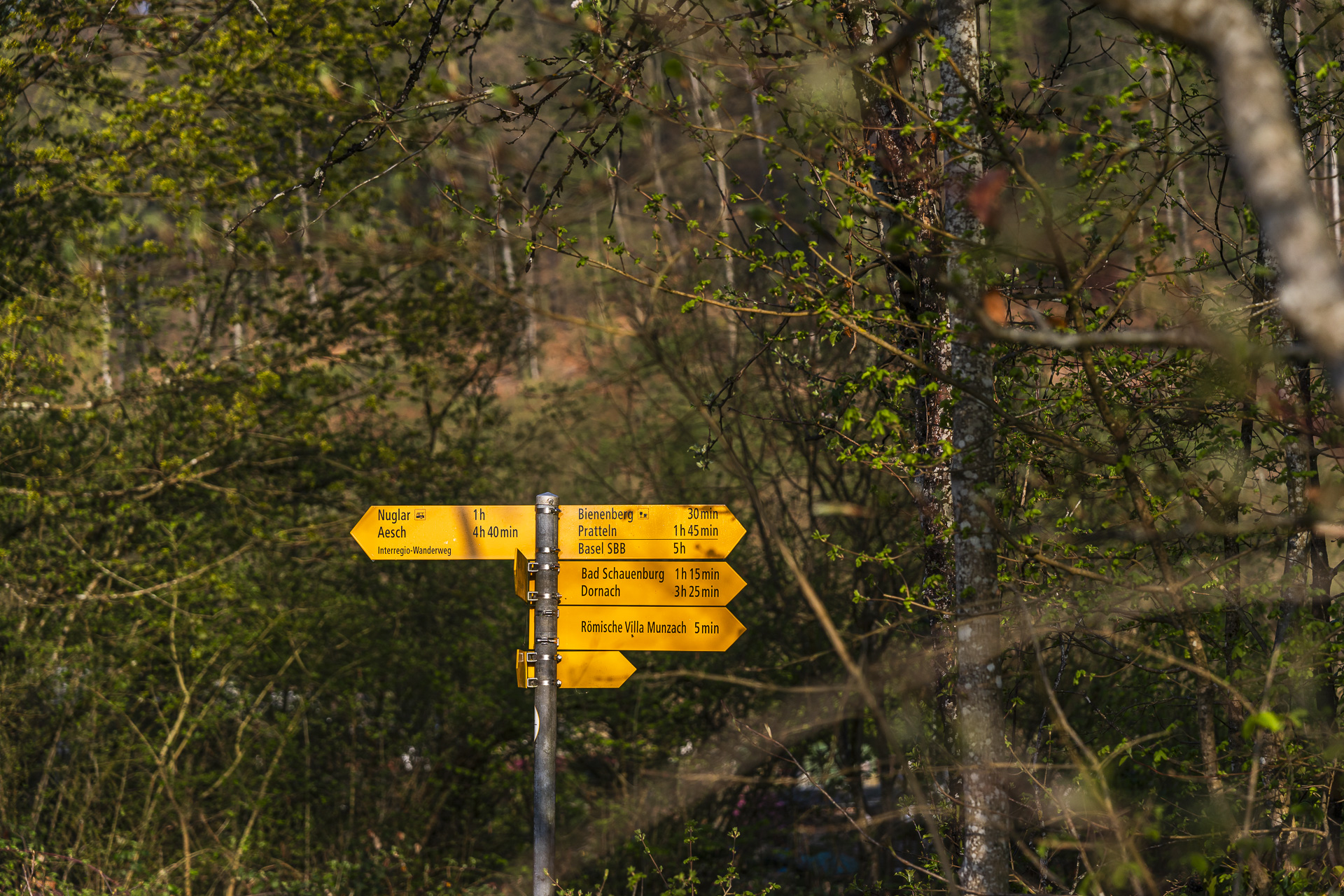
We start the hike at Liestal station. The comprehensive renovation of the station has since been completed. We use the new northern platform underpass and follow Sichternstrasse until we reach the intersection with Widmannstrasse and encounter the first signpost.
The hiking trail takes us through a cozy residential neighborhood toward Tierpark Weihermättli. The trail leads right through the small park and then climbs toward Munzach. This district on the outskirts of Liestal was once an independent village. Also, here in the 1940s a Roman villa discovered. With a short detour you can freely visit the excavations located at the edge of a residential development.
Since we’ve set out to cover a fair distance, we skip this side trip and instead follow the signpost straight uphill toward the Sichtern.
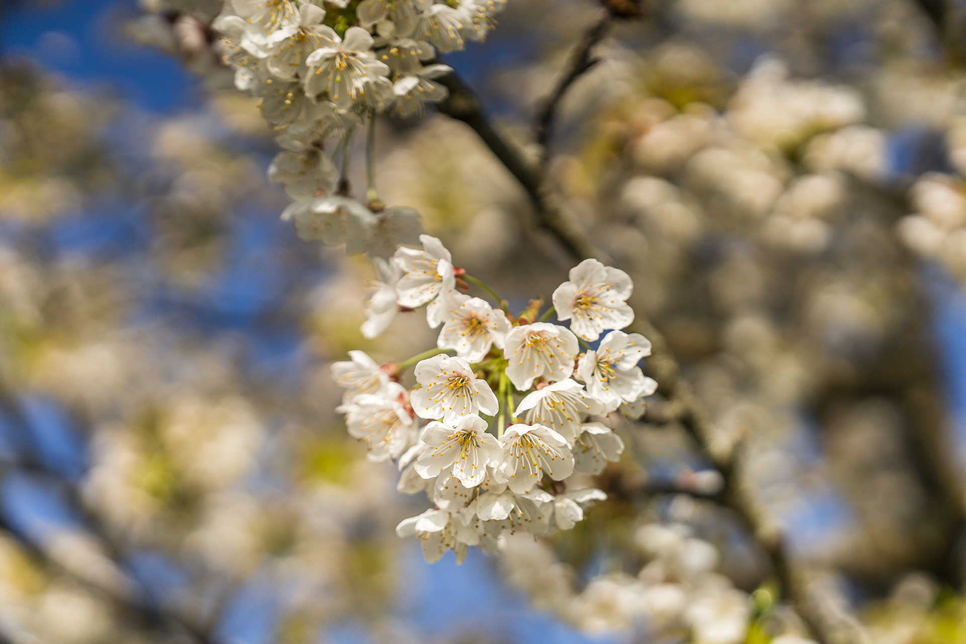
Flowering cherry trees as far as the eye can see
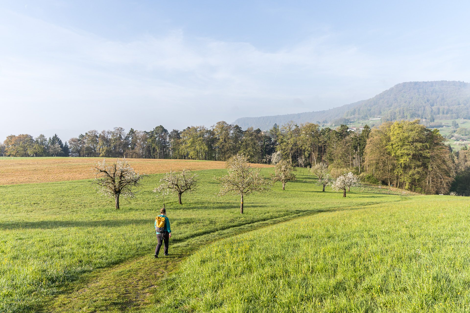
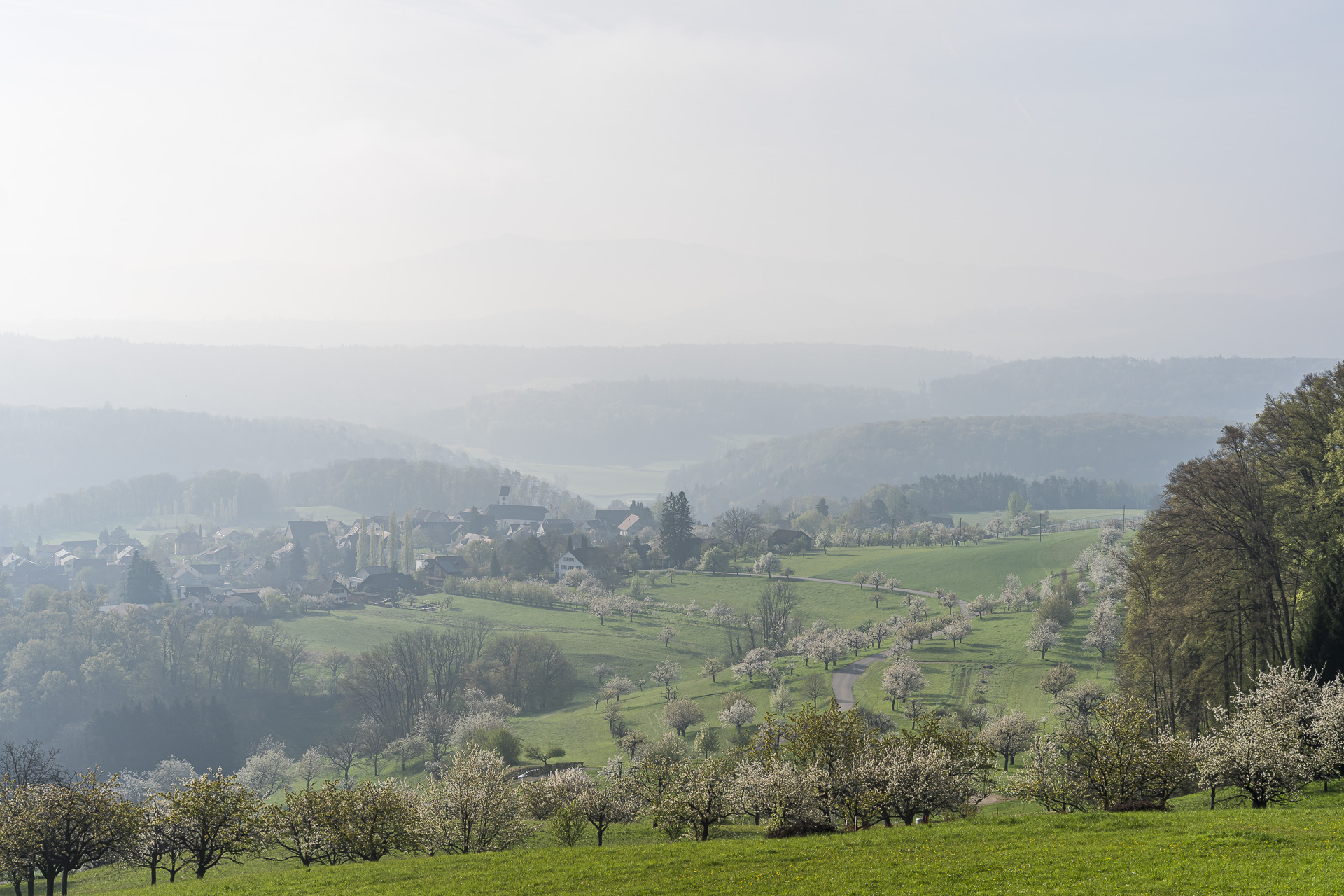
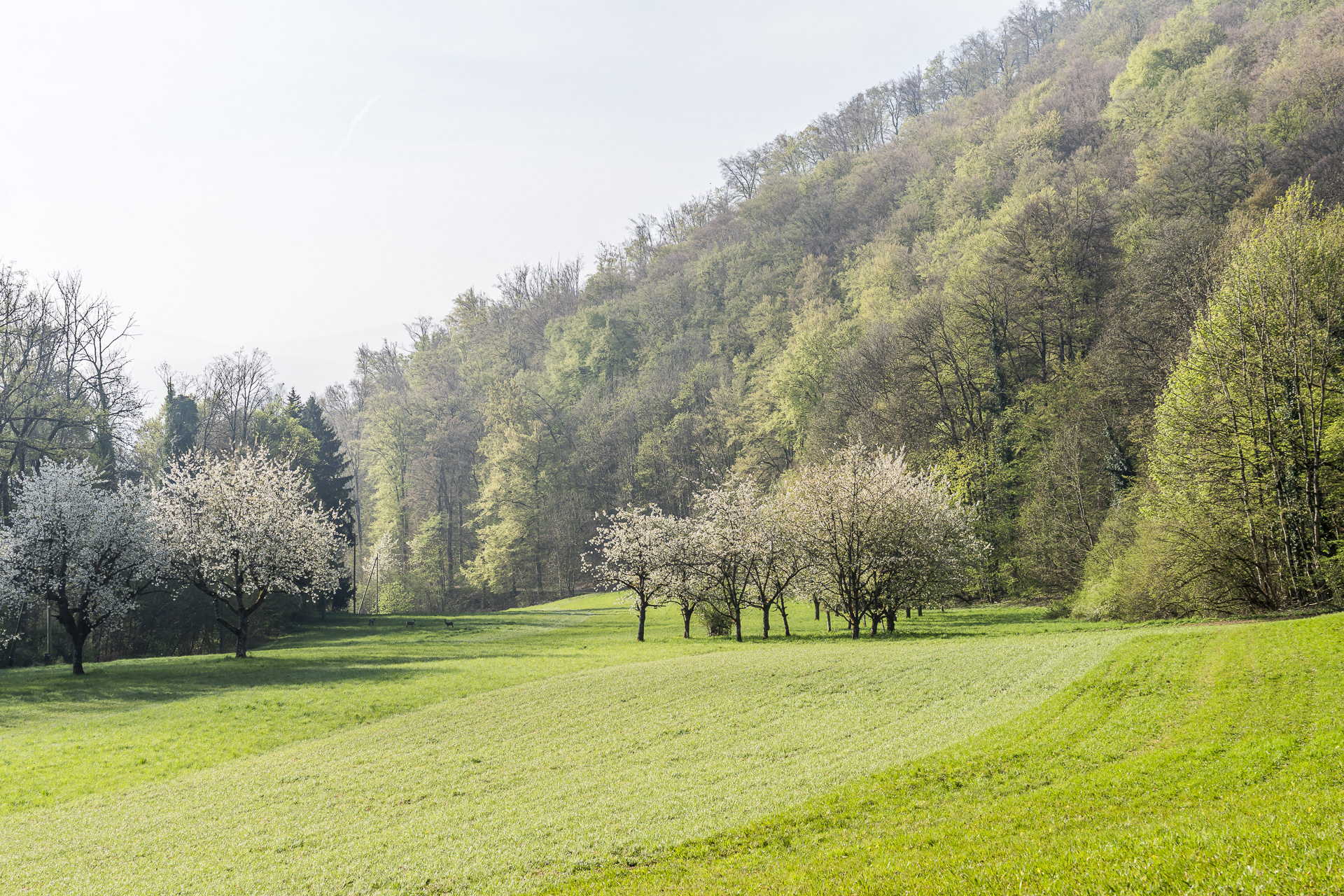
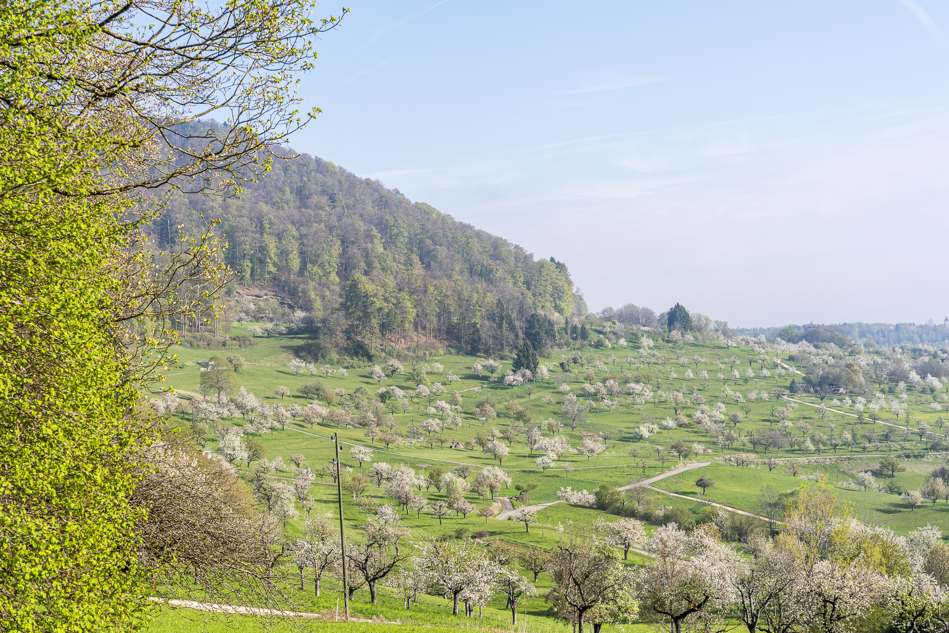
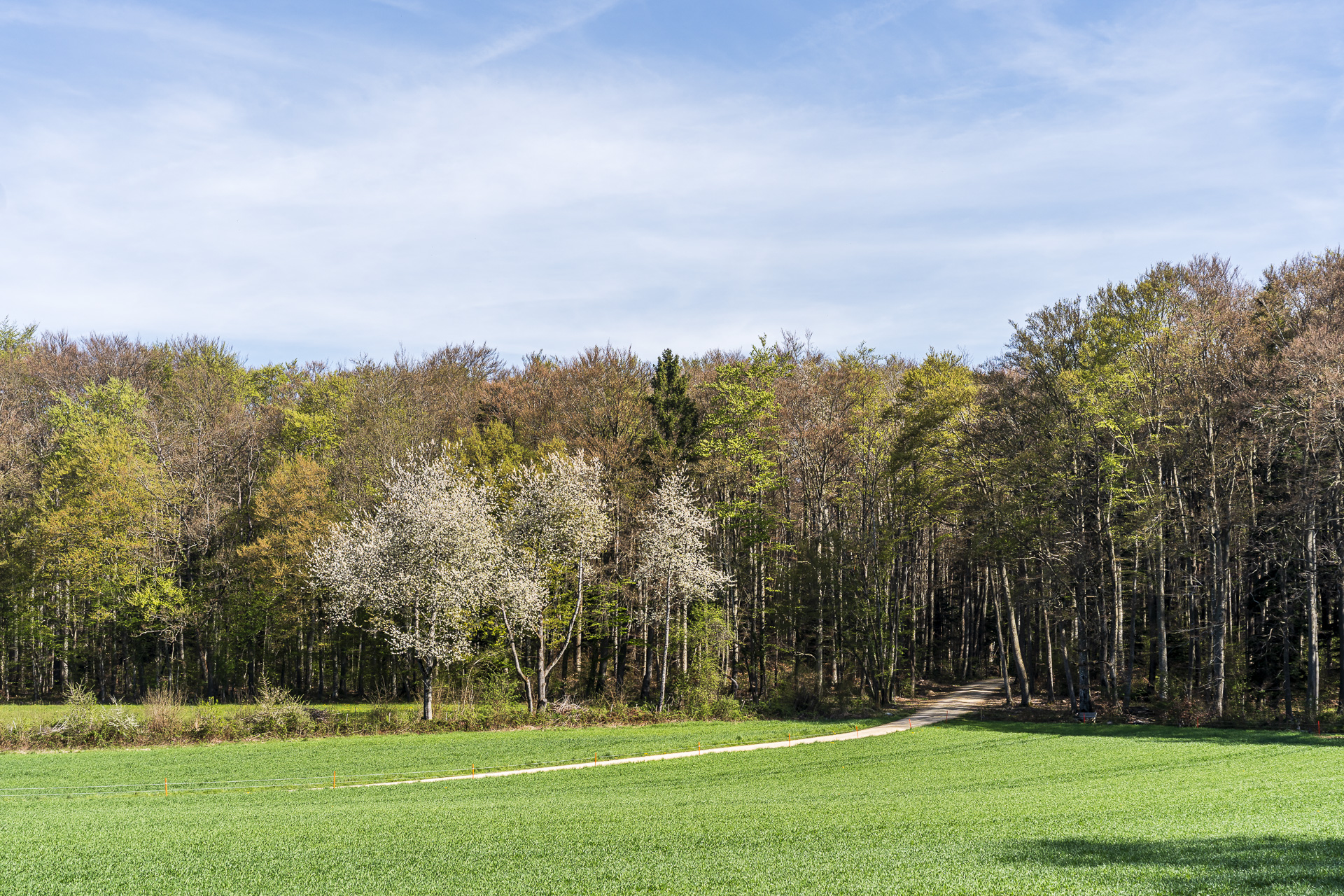
Already on the Sichtern clearing we can admire the first flowering tall-stemmed fruit trees. A first taste of what will await us on the other side in the municipality of Nuglar-St. Pantaleon after crossing the Brunnenbachrain — a small valley that at the same time forms the border between the cantons of Basel-Landschaft and Solothurn.
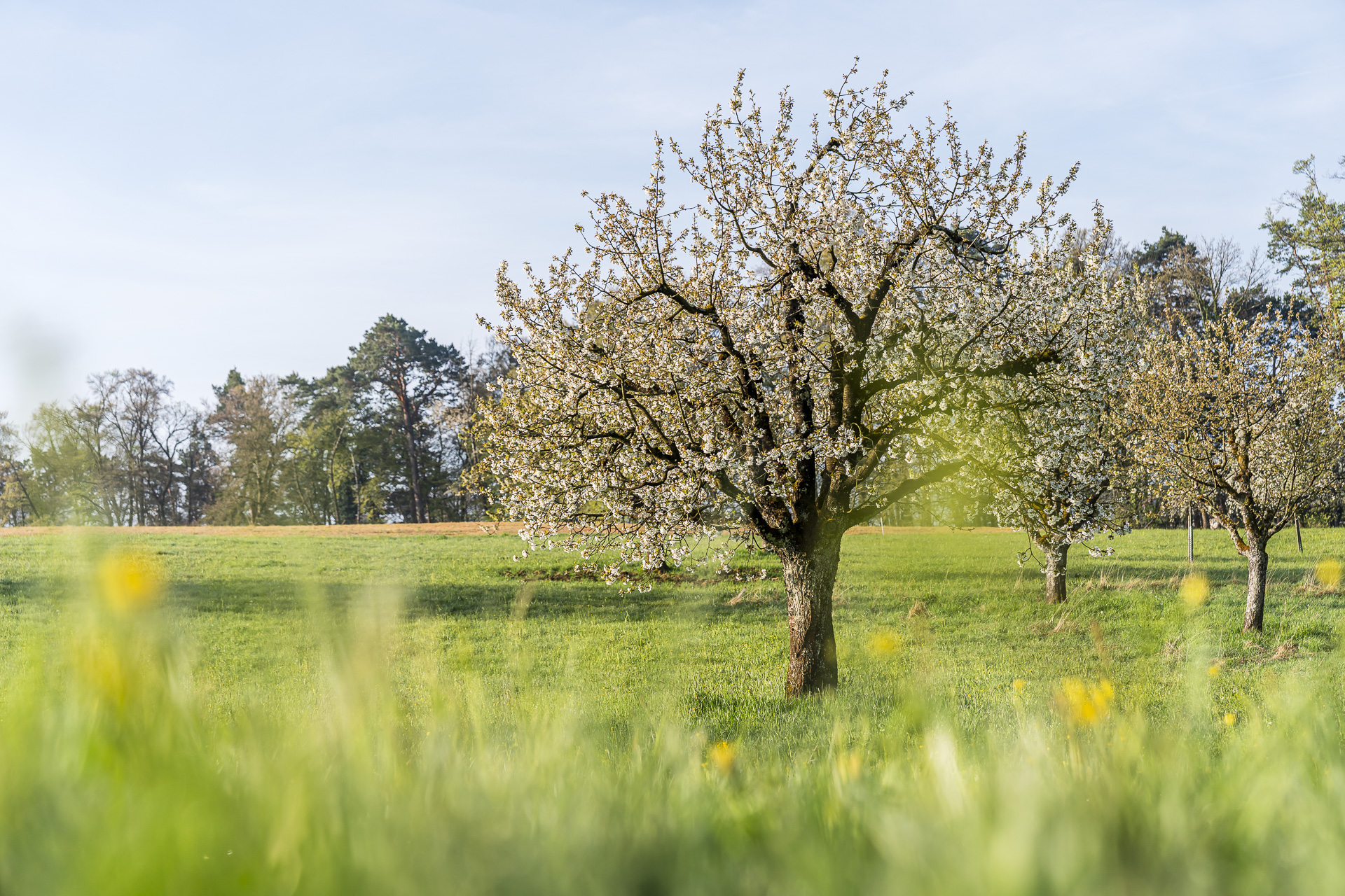
Nuglar-St. Pantaleon has one of the most beautiful fruit-tree landscapes in Switzerland. That is one reason why the municipal area, as part of the Gempen Plateau — which we will cross later — is listed in the Federal Inventory of Landscapes and Natural Monuments of National Importance.
Through the cherry orchards of Nuglar-St. Pantaleon to Büren
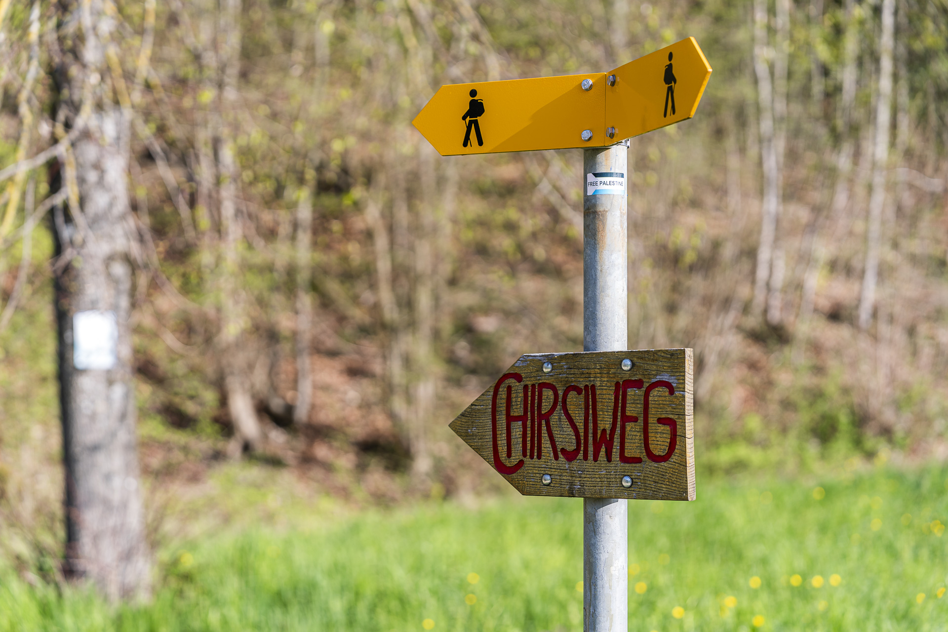
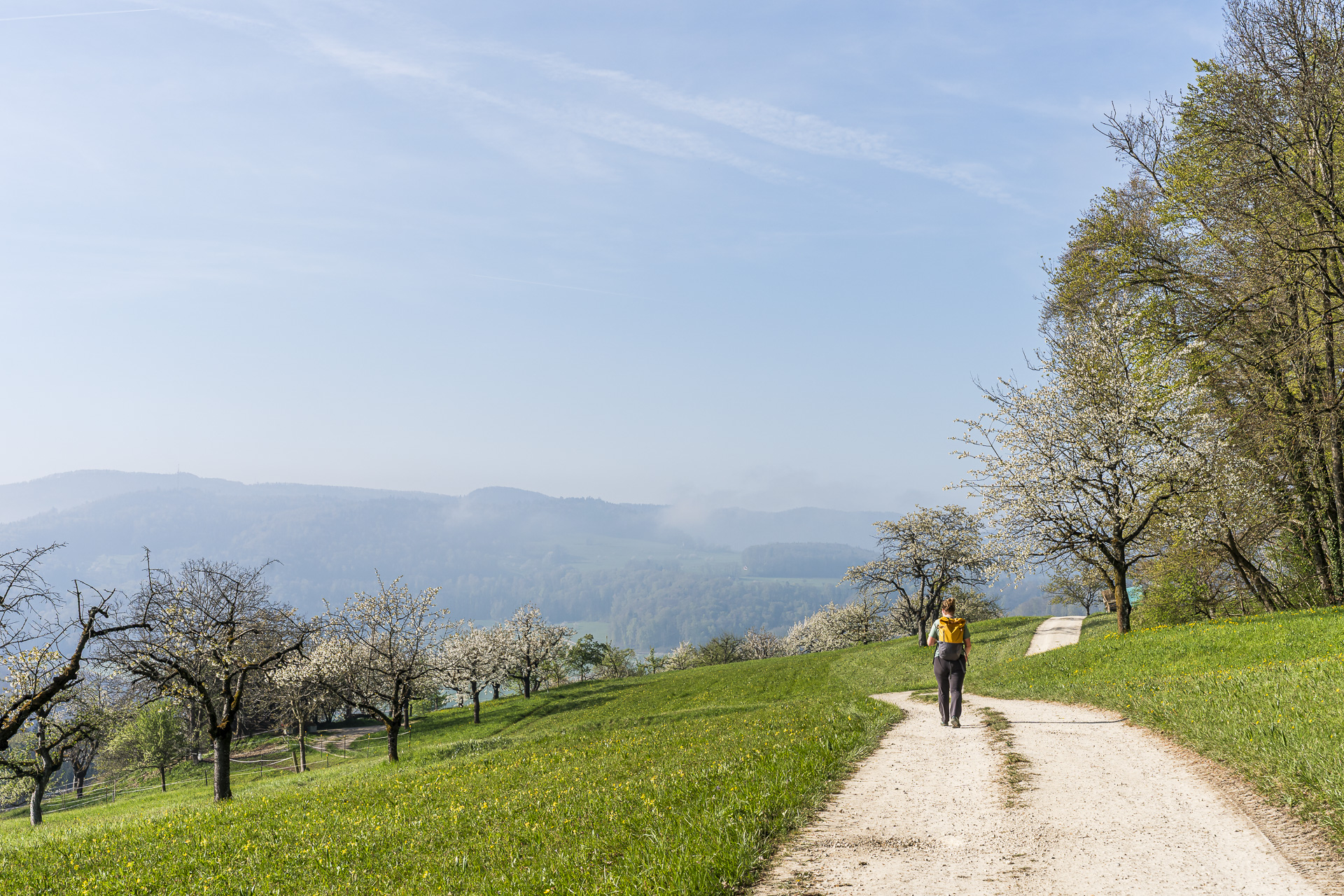
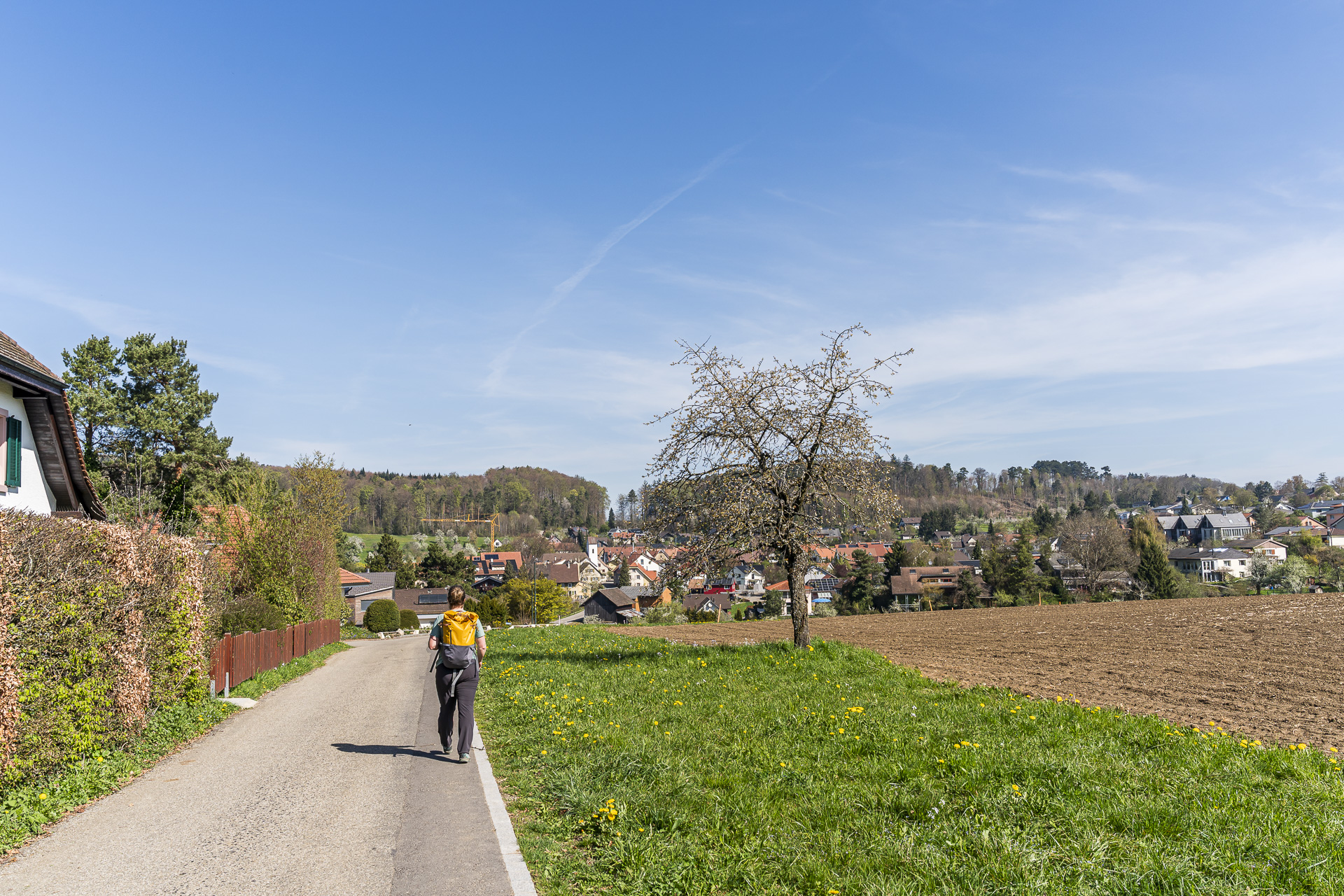
Our hiking route takes us straight through the pretty center of Nuglar. At the bus stop «Nuglar, Schulhaus» we come across the route signposted with wooden boards «Chirsiweg». This is designed as a circular route and runs right through the impressive fruit-tree landscape on the municipal territory of Nuglar-St. Pantaleon. It can also be done as a leisurely Sunday walk without great sporting ambitions (time required approx. 1.5 to 2 hours).
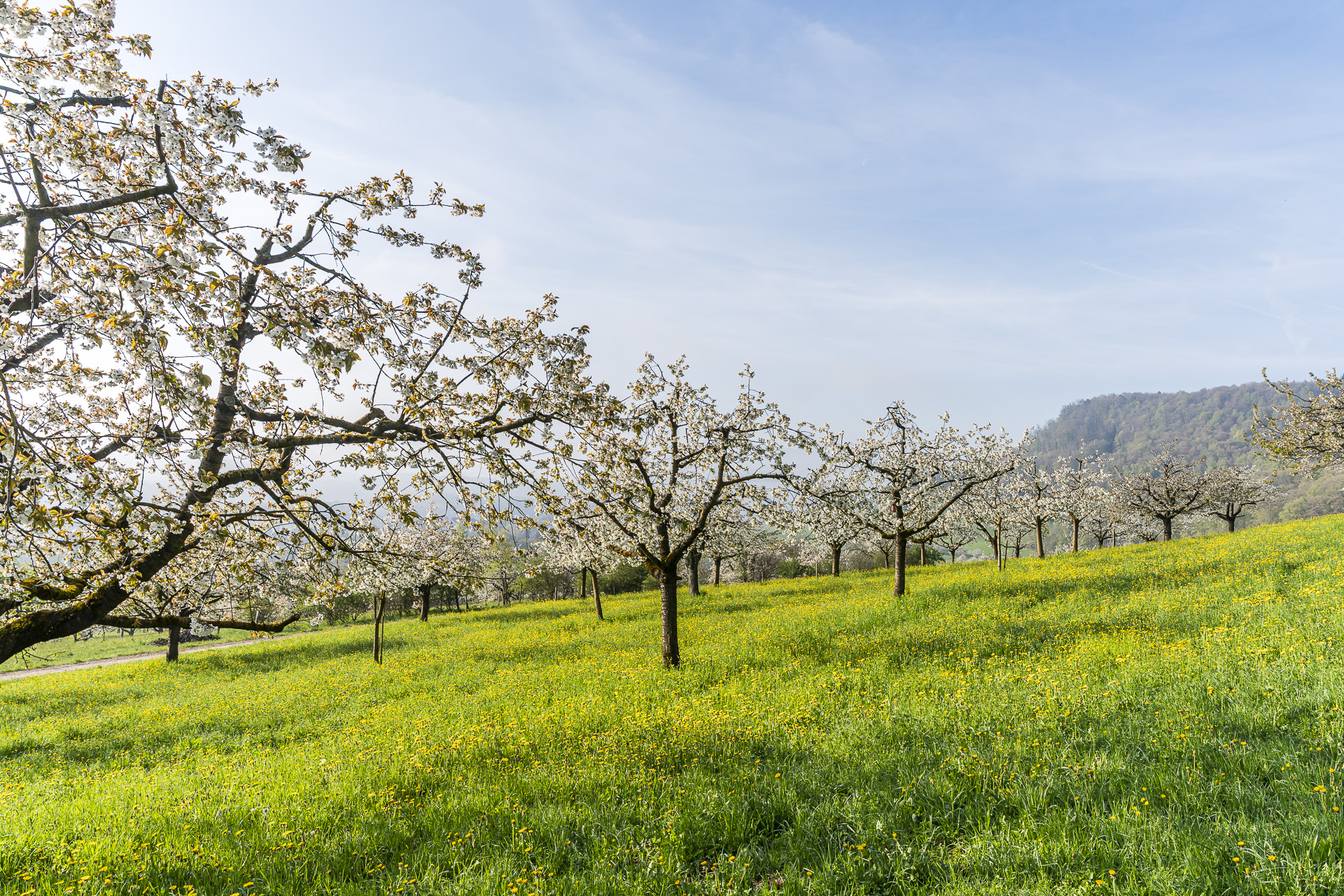
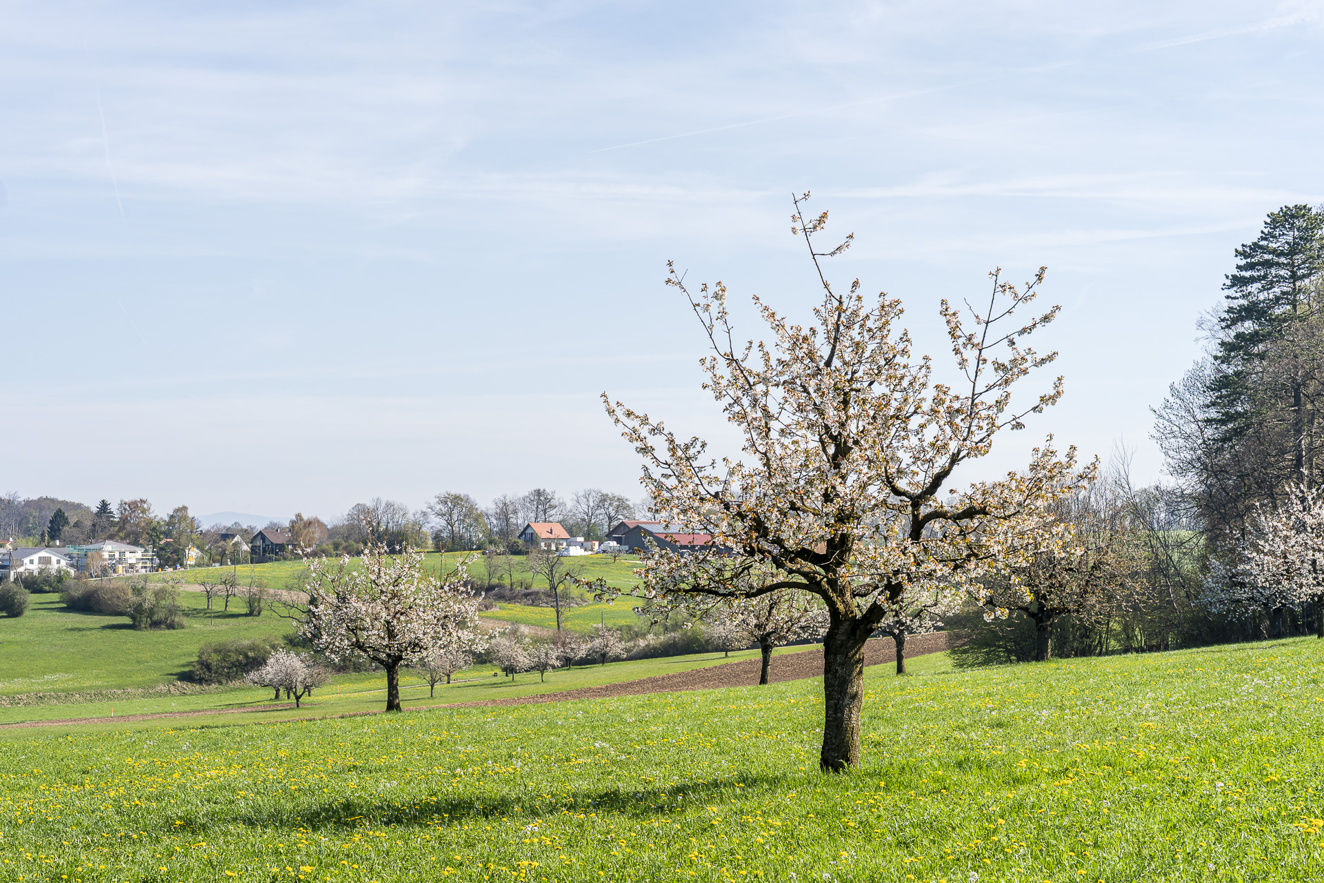
Our hike follows the Chirsiweg for the next roughly 1.7 kilometers uphill toward Herrenberg. From there you enjoy a magnificent view over the blaze of blossoms that presents itself to us here in mid-April. But even outside the flowering season the view over the orchard meadows is impressive. With a bit of luck you can also spot roe deer in the higher forest clearings.
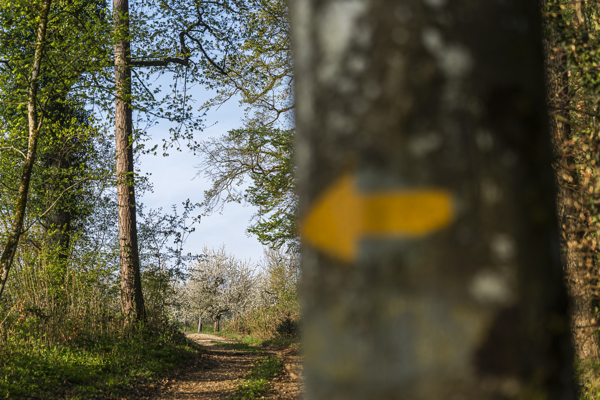
At the forks in the path at «Rotacker» and «Lochacker» you need to pay some attention. We stay on the yellow-marked hiking trail and do not follow the Chirsiweg signs toward St. Pantaleon.
Over the Hobelrank onto the Gempen Plateau
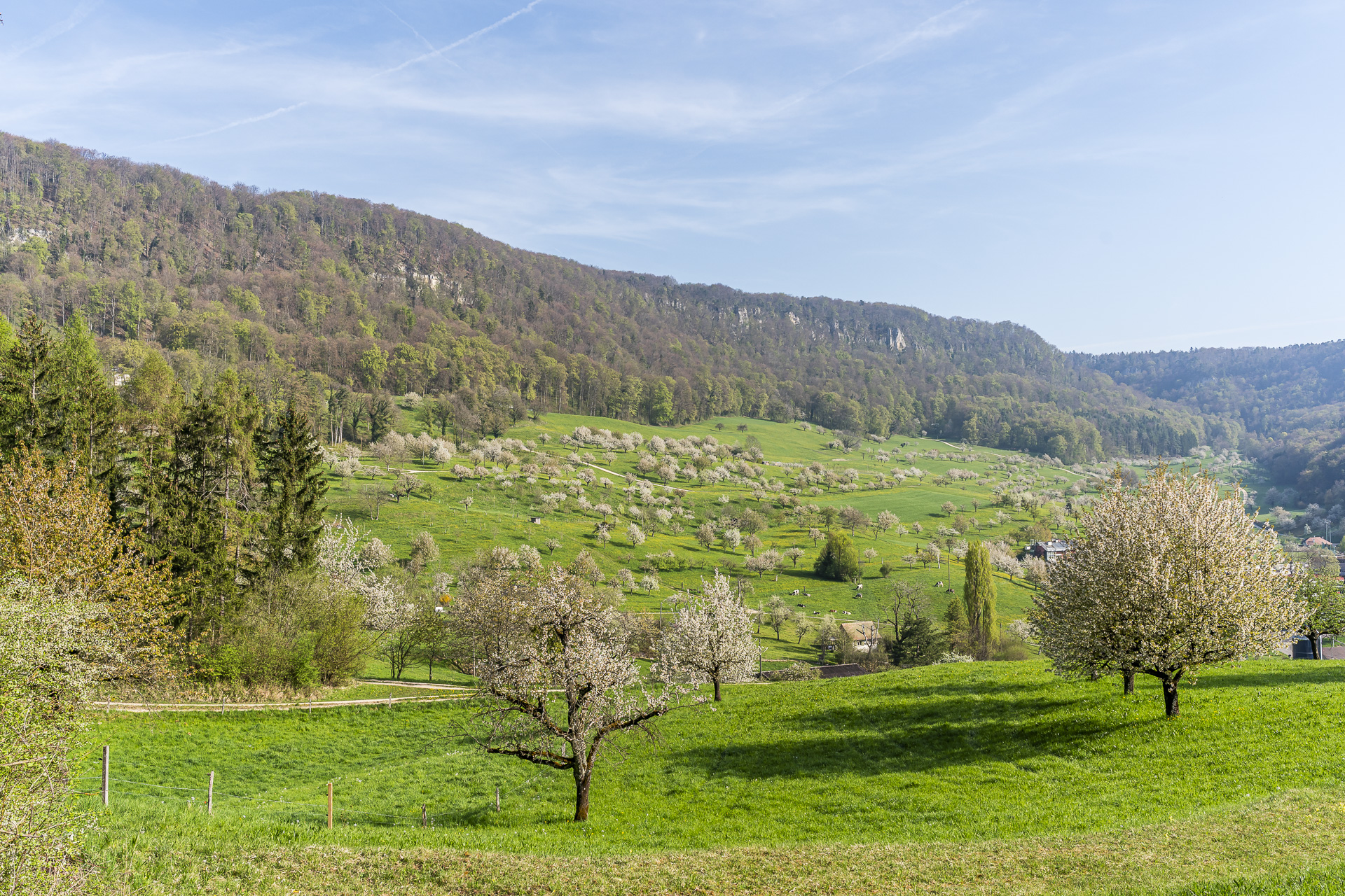
From the Herrenberg we take the paved roads downhill into the village center of Büren. Here we let our gaze glide one last time over the slopes planted with cherry trees. Then we set about the ascent through the Hobelrank up to the Gempen plateau.
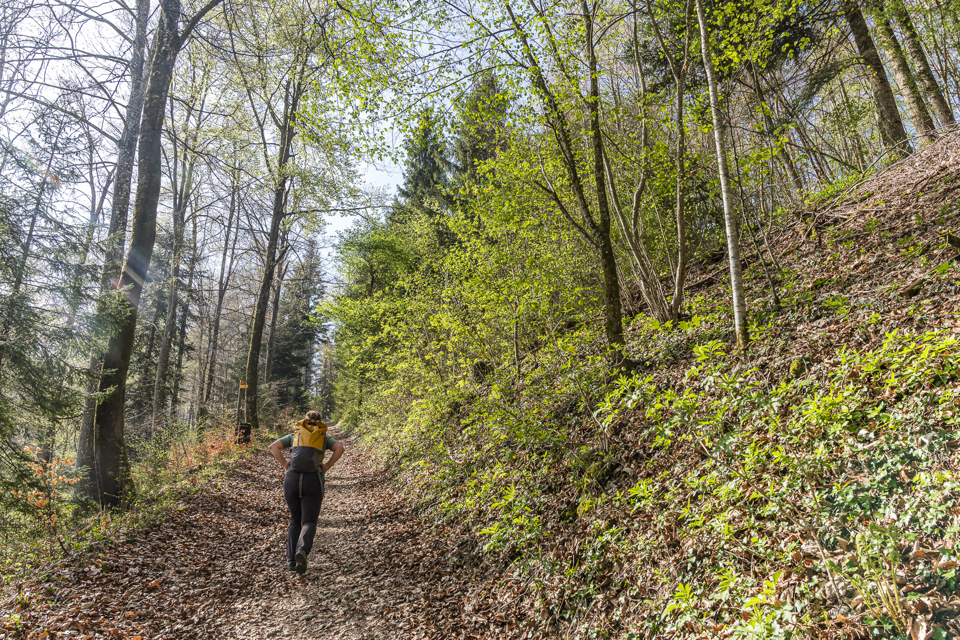
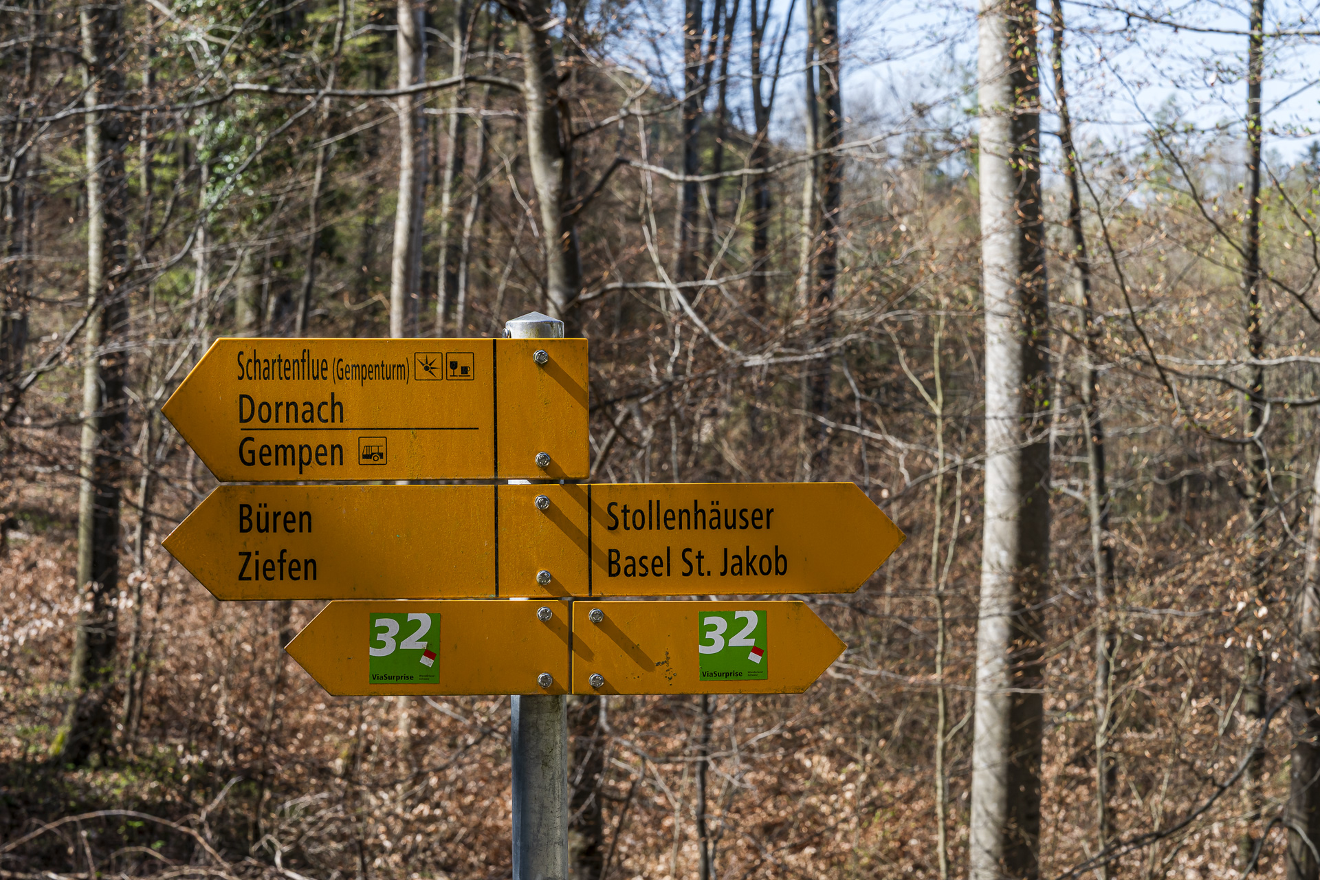
Geologically, the plateau is part of the Table Jura and is characterized by a diverse landscape. The roughly 250 meters of elevation from the village center of Büren up to the plateau are the most physically demanding part of this hike. Once up there, however, you have plenty of time to catch your breath. The route of the “Via Surprise” runs up here. This multi-day hike covers the Solothurn and Basel-Landschaft Jura in six daily stages.
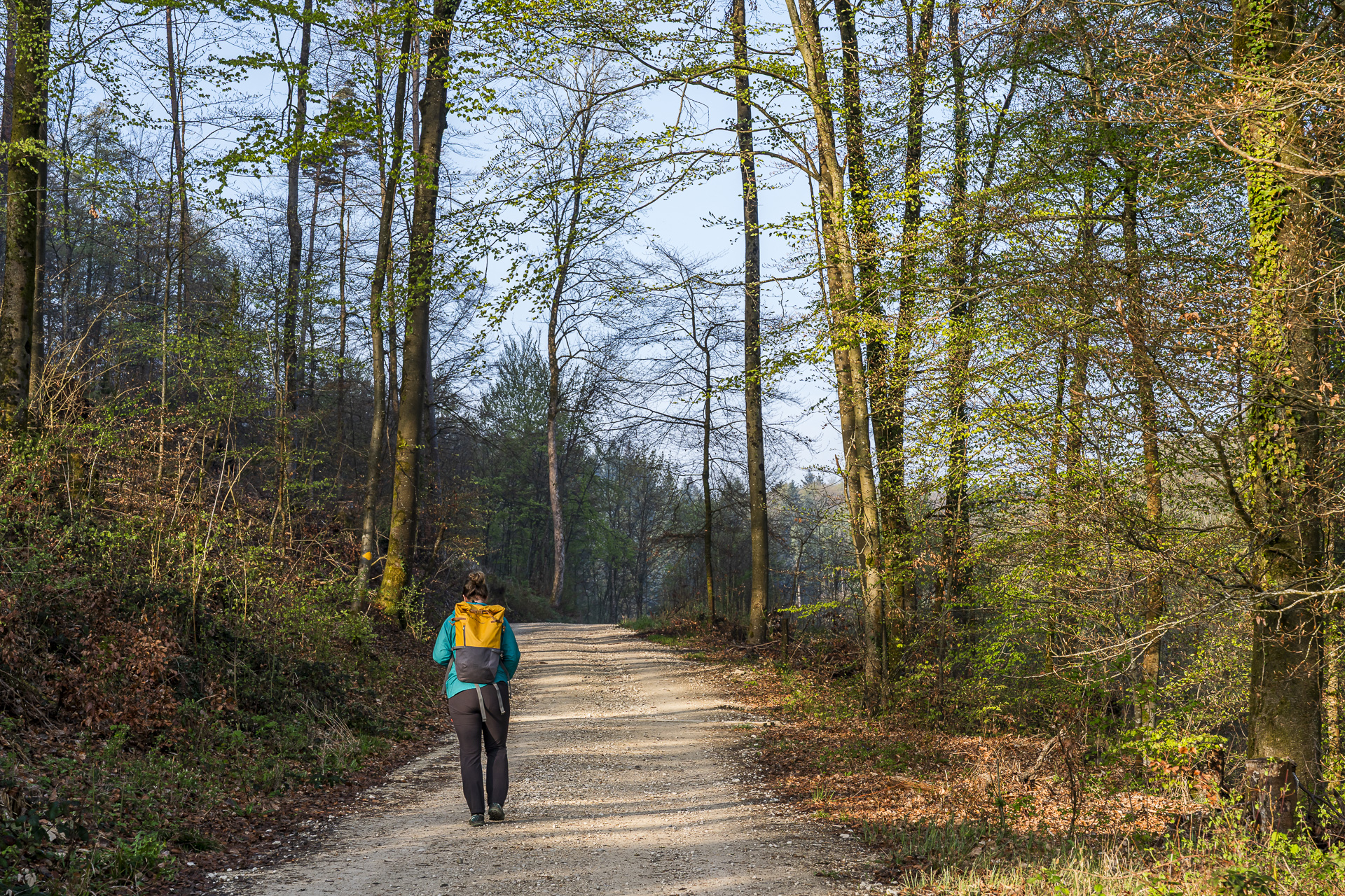
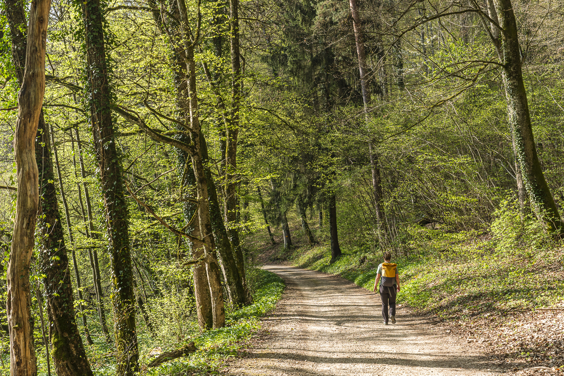
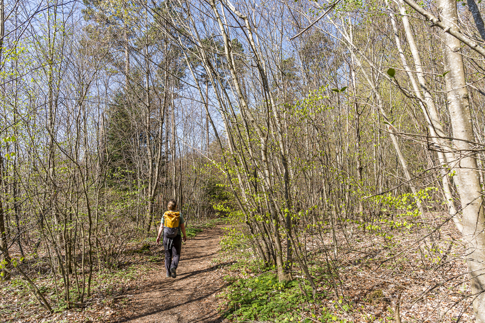
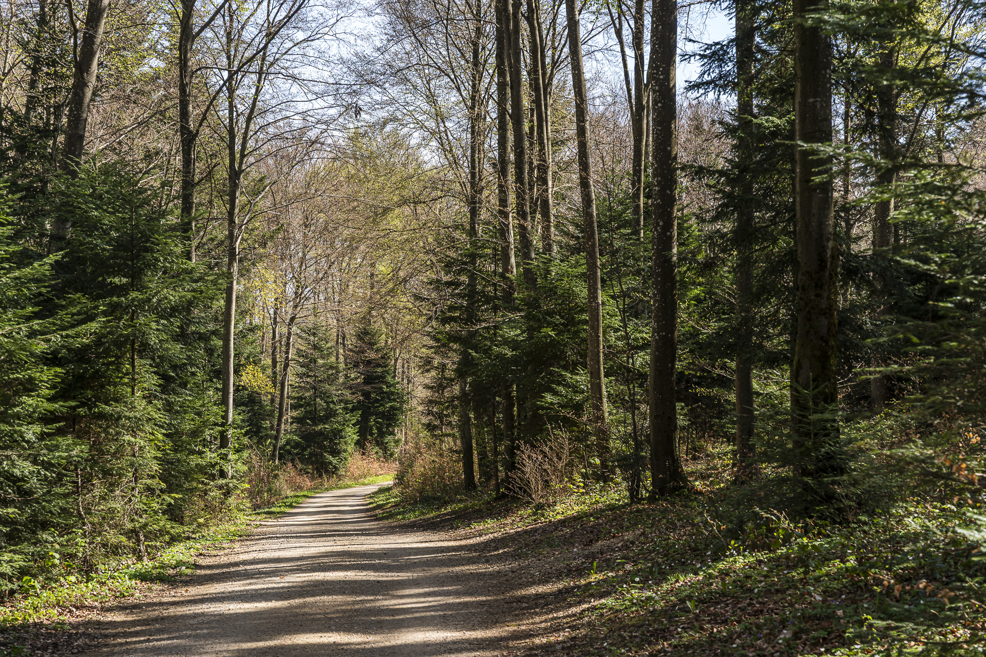
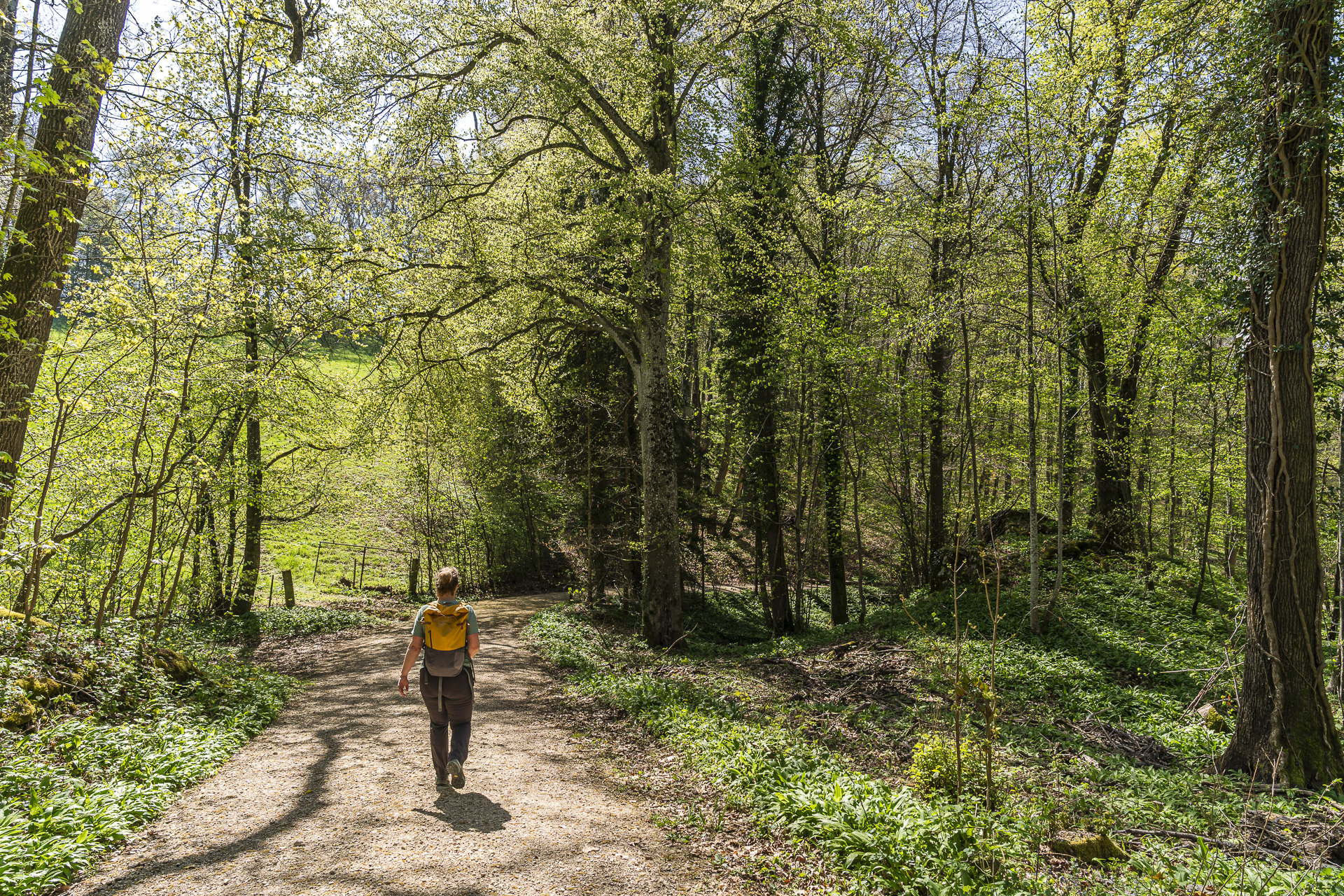
The hike now takes us, following the Via Surprise, past the outskirts of Hochwald along forest and meadow paths on the high plateau to Gempen.
Extra kilometers to the Schartenflue with a view
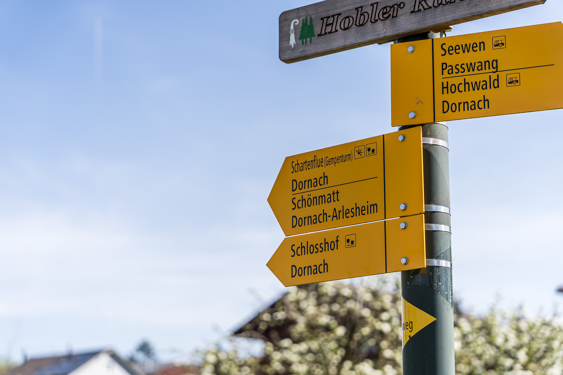
As we enter the village center of Gempen, we see the Postauto drive past the stop just before our arrival. The next one doesn’t come for another half hour. Up to this point we’ve taken just over three hours and now have almost 14 kilometers under our belts. We decide on the spot to go ahead with the previously considered extension toward Arlesheim. The first confirmation that this is a good decision doesn’t take long to arrive.
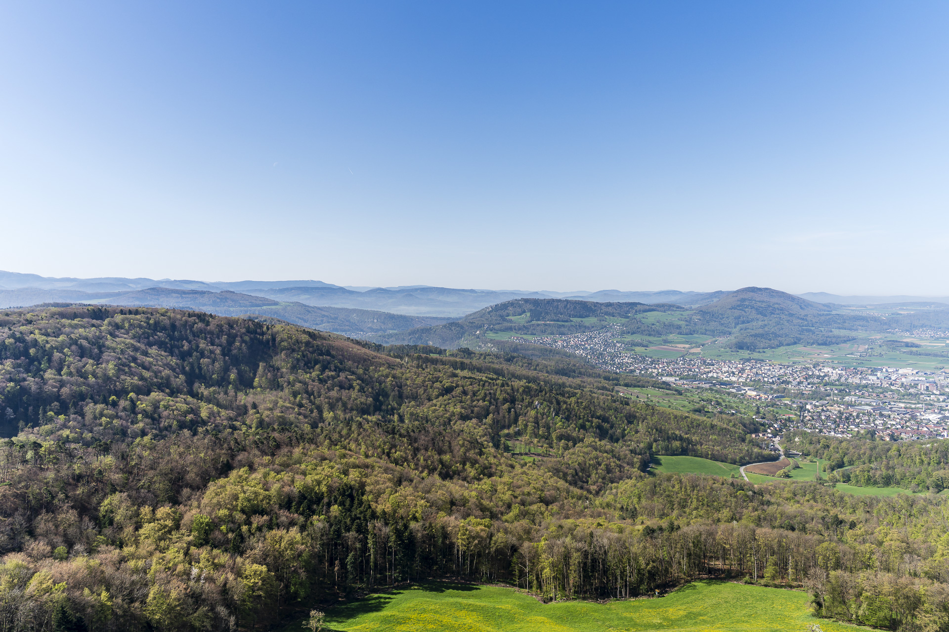
Above Gempen is the Schartenflue, at 760 m above sea level the highest elevation of the Gempen plateau. From there we are treated to an impressive panoramic view over the wooded Jura landscape on one side and the settlement conglomerate of the Basel agglomeration on the other.
At the viewpoint is also the popular «Bärgbeiz» Gempenturm. And anyone who likes can, for a payment of 1 CHF, go up the 28 m-high Gempenturm climb.
Second blossom highlight in the cherry country around the hamlet of Stollenhäuser
In contrast to the first stretch between Liestal and Gempen, the next section of the trail is noticeably busier. That’s probably partly because we’re in Basel’s suburban belt. On the other hand, the beautiful spring weather over the course of the morning has also lured many people outdoors.
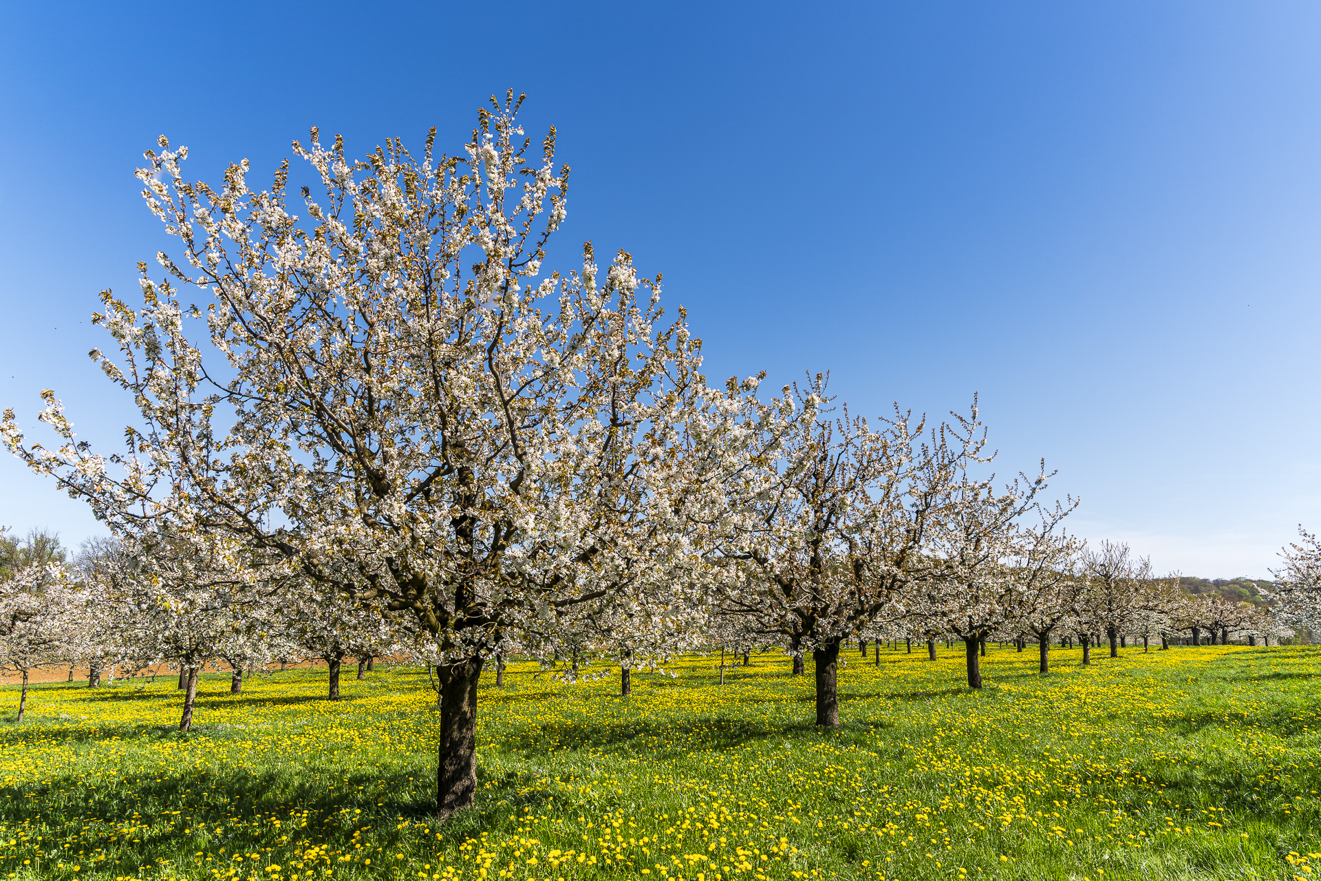
The kilometers are slowly making themselves felt in our legs. But unexpectedly we’re treated to another highlight. When planning the route on the swisstopo map I had noticed the traditional orchard landscape around the hamlet of Stollenhäuser registered. That we’d end up here again right in the middle of the peak of the cherry blossoms, I definitely would not have expected.
As far as the eye can see, mostly beautiful, old standard trees line up here and are in full bloom. What a splendor! That easily makes up for the fact that we have to contend with longer paved stretches in between.
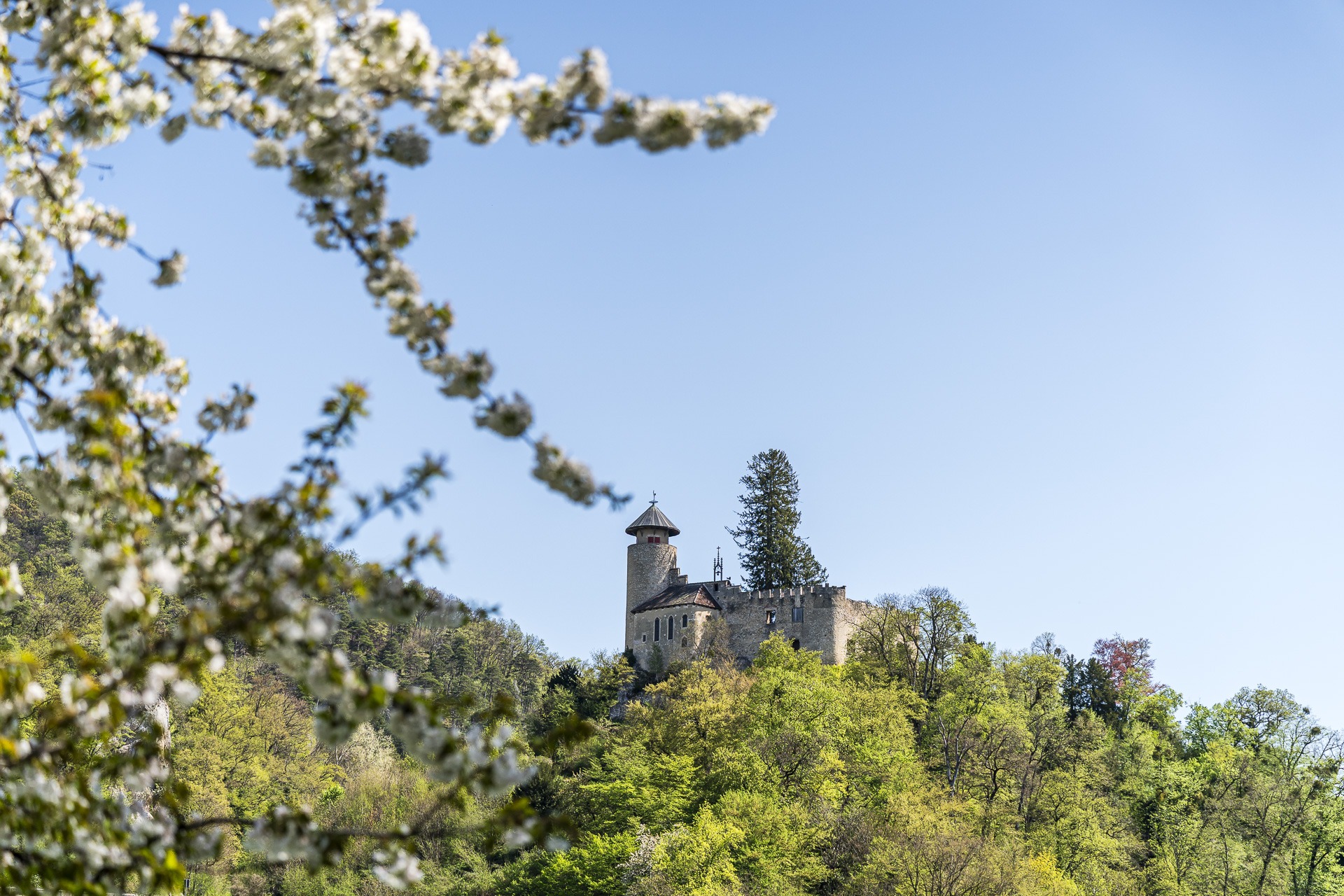
In the final kilometers, this hike still takes us with a view of Birseck Castle to the Ermitage Arlesheim, the largest English landscape garden in Switzerland, and past the baroque Arlesheim Cathedralpast. All in all, you can look forward to numerous scenic and cultural highlights on this tour.
Key facts of the hike Liestal – Nuglar – Büren – Gempen – Arlesheim
The following hiking map shows the route from Liestal via Nuglar and Büren to Gempen and on to Arlesheim. The entire route is signposted as a yellow-marked hiking trail (T1). Along the route, gravel paths, sections on paved roads and individual forest and meadow paths alternate. Technically, you will not encounter any particular difficulties on this hike. However, if the entire route is too strenuous for you physically, you can easily split it into stages thanks to public transport connections in the villages of Nuglar, Büren and Gempen.
Note: the time given below refers to the signposted waymarker times. We were moving at a fairly brisk pace and needed a total walking time of 4:50 h for the route.
| Starting point | Liestal train station (323 m above sea level) |
| Accessibility | Accessible by public transportation |
| Length | 22.5 kilometers |
| Elevation | ↗ 779 m ↘ 814 m |
| Duration | 6:15 h |
| Destination | Dornach-Arlesheim train station (294 m above sea level) |
| Places to eat | Bärgbeiz Gempenturm (Wed to Sun) and Restaurant Schönmatt (Wed to Sat) |
Practical tips for your hike through blooming orchards near Nuglar
- Best time for the cherry blossom: The cherry trees along the route are usually in full bloom from April onward, depending on the weather. The exact timing can vary from year to year. The municipality of Nuglar-St. Pantaleon also publishes current announcements about the cherry blossom on the municipal website.
- Getting there and back: The starting and ending points of the hike at the Liestal and Dornach-Arlesheim train stations are easily accessible by public transport. In the villages of Nuglar, Büren and Gempen there are regular bus connections (generally every half hour) to the nearest train stations.
- Shortening the hike: If the distance of this hike is too long for you, I recommend tackling the first 14 kilometers from Liestal to Gempen. Alternatively, the beautiful Chirsiweg circular walking trail through the cherry landscape of Nuglar-St. Pantaleon is an option.
- More hiking tips in the region: If you enjoyed this hike, you’ll find other worthwhile hikes around Basel. Especially in spring, the Baselbieter Chirsiweg, which also leads through impressive cherry blossom landscapes in the Tafeljura. In addition, the Wasserfallen region offers scenic hikes – my favorite hike here is the Wasserfallen-Rundweg ums Chellenchöpfli.

Leave a Reply