

From Grimselpass to Nägelisgrätli and back – Hike with Rhone Glacier views
I’m usually not a fan of point-to-point hikes. But the panorama-filled tour from Grimsel Pass over Nägelisgrätli to «Bim Grosse Stei» with views of the Rhone Glacier was worth making an exception. Why? The pictures below speak (almost) for themselves.
From Grimsel Pass to Grätlisee
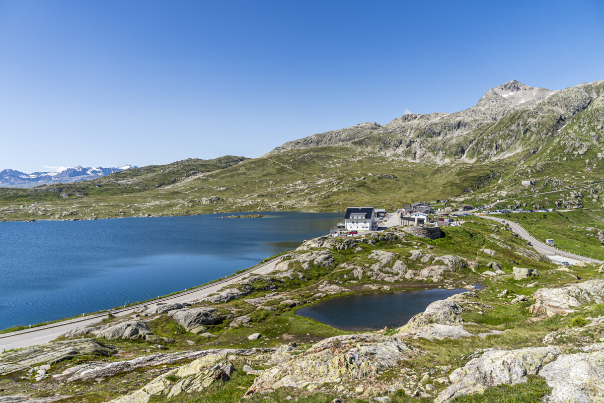
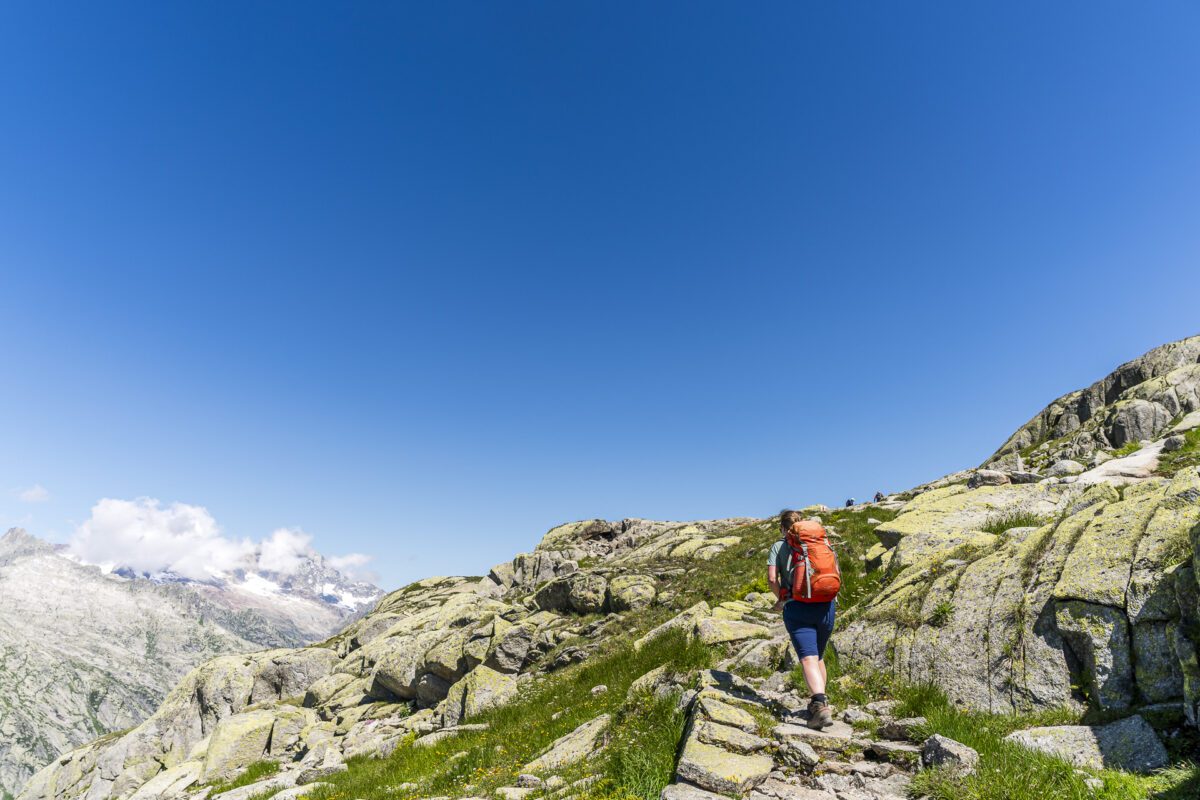
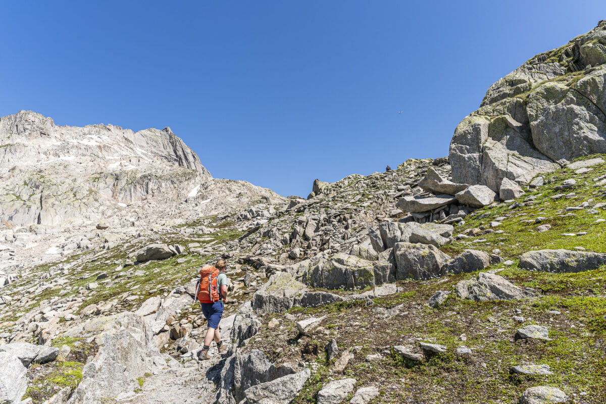
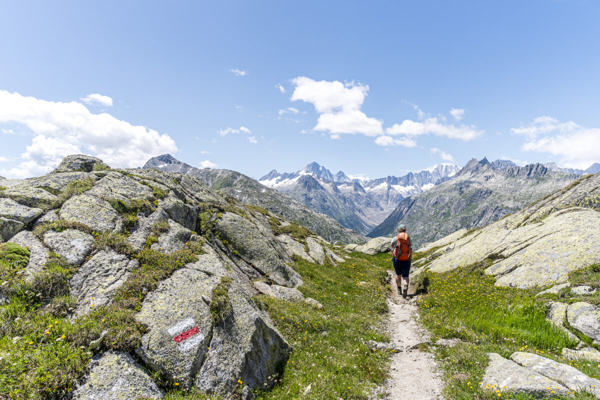
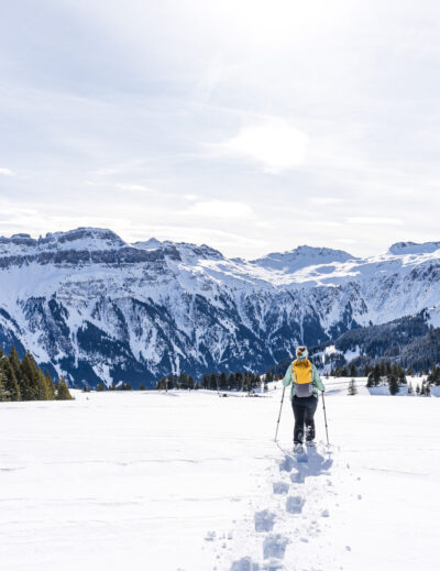
Right on time at 10:27 am, we reach our starting point at the top of Grimsel Pass. The morning is already well underway, and there is a lot of activity on the pass. Behind us lies a 3.5-hour journey – including an entertaining postbus ride from Meiringen via Innertkirchen up to Grimsel Pass. After a short restroom stop, we are ready to start walking. The signpost leads us past the St. Christopher Chapel in a northeasterly direction. After just a few meters, the climb to Nägelisgrätli begins. And soon, the hustle and bustle at the pass summit is barely audible, let alone noticeable.
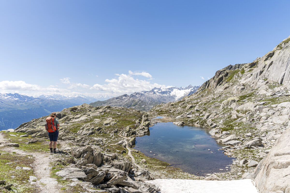
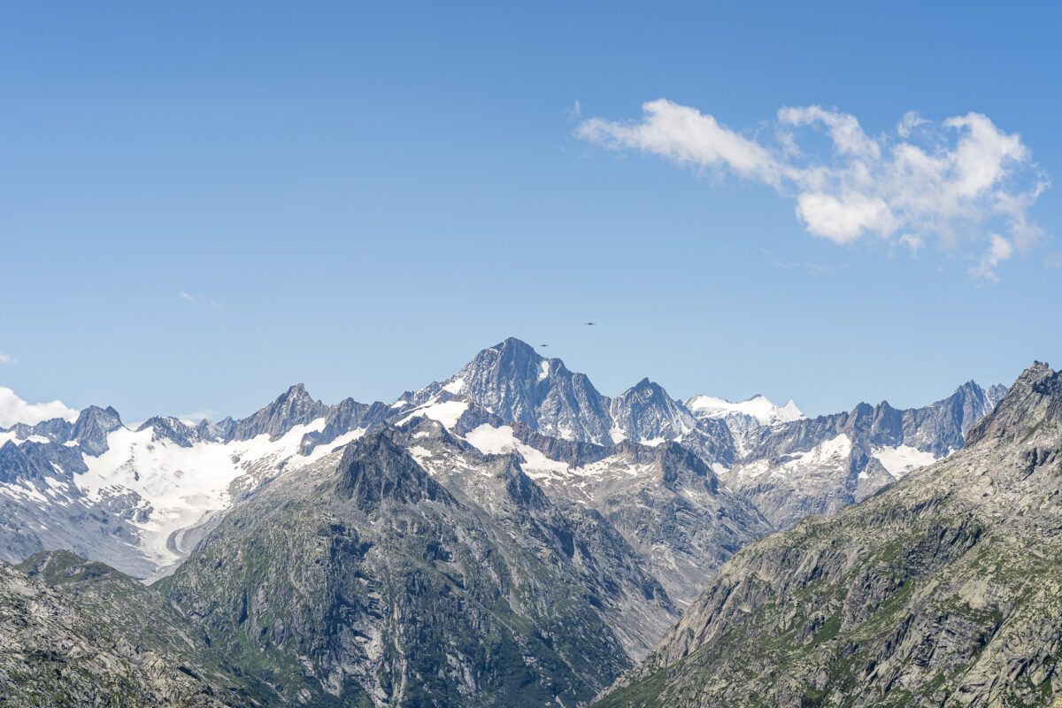
On the first almost two kilometers, the ascent is the steepest. After that, you reach the long granite ridge of Nägelisgrätli, and the incline noticeably eases. Again and again, flatter sections provide welcome opportunities to catch your breath. It’s worth pausing from time to time to enjoy the fantastic mountain panorama. In the background, you can see the highest peaks of the Bernese Alps – including the Finsteraarhorn at an impressive 4,274 m above sea level.
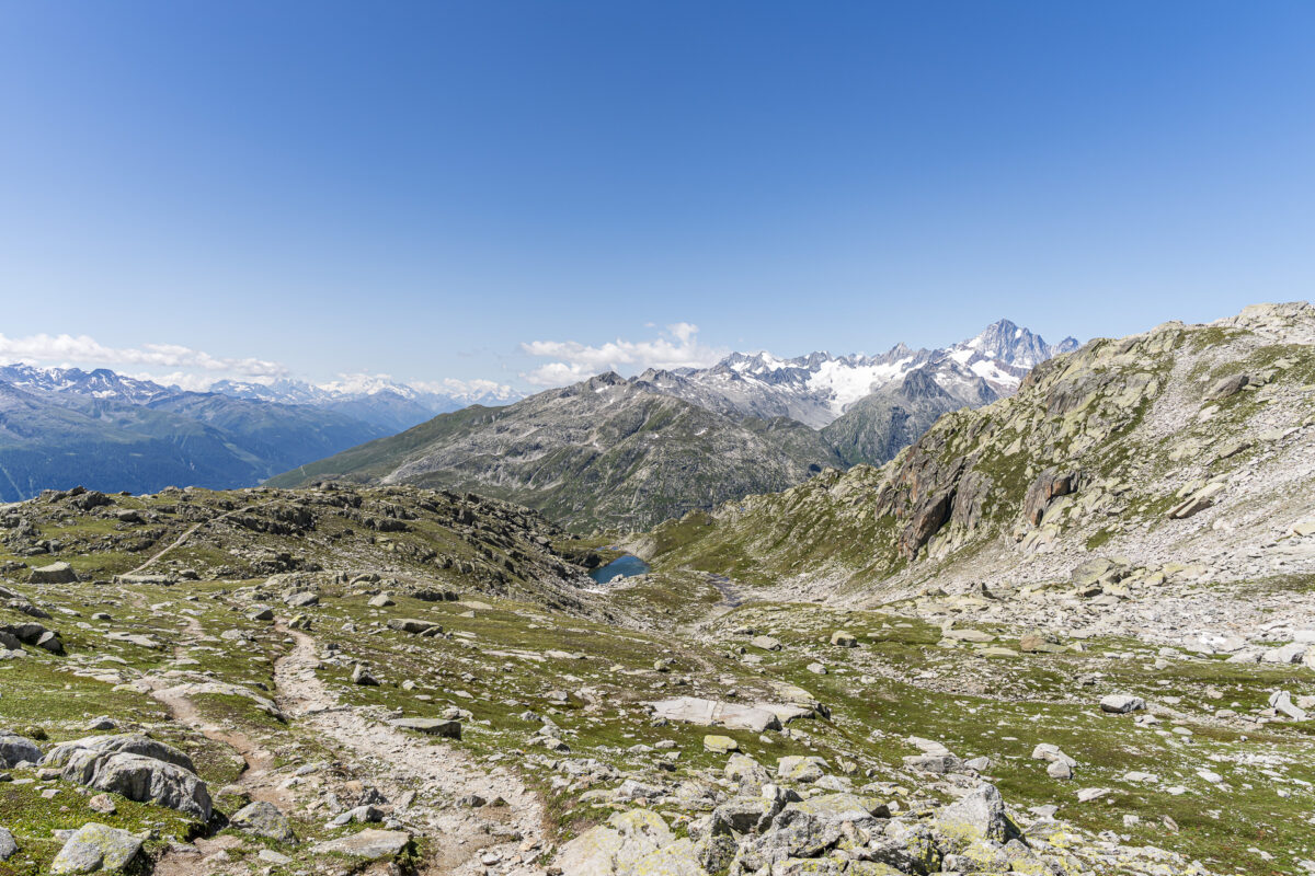
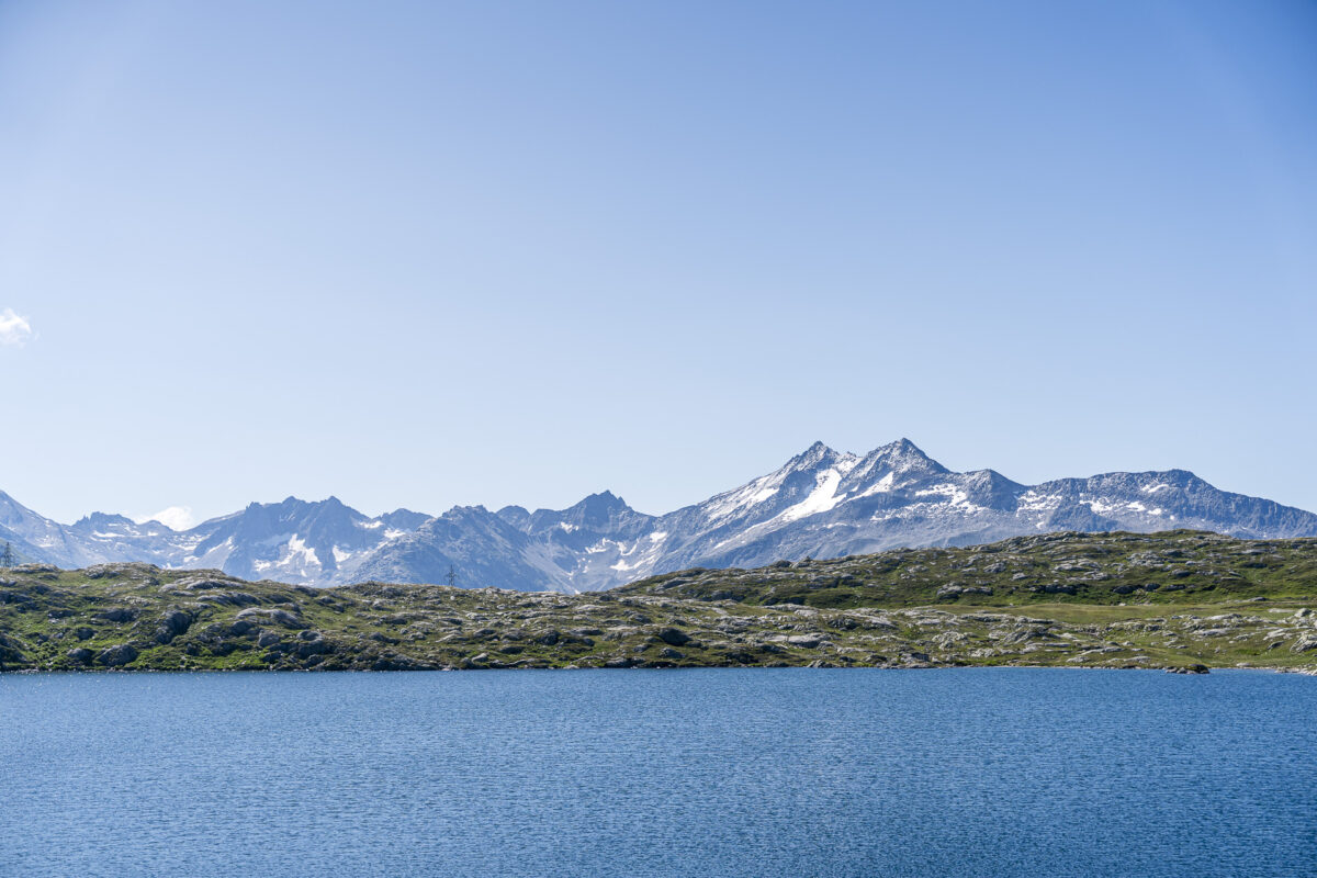
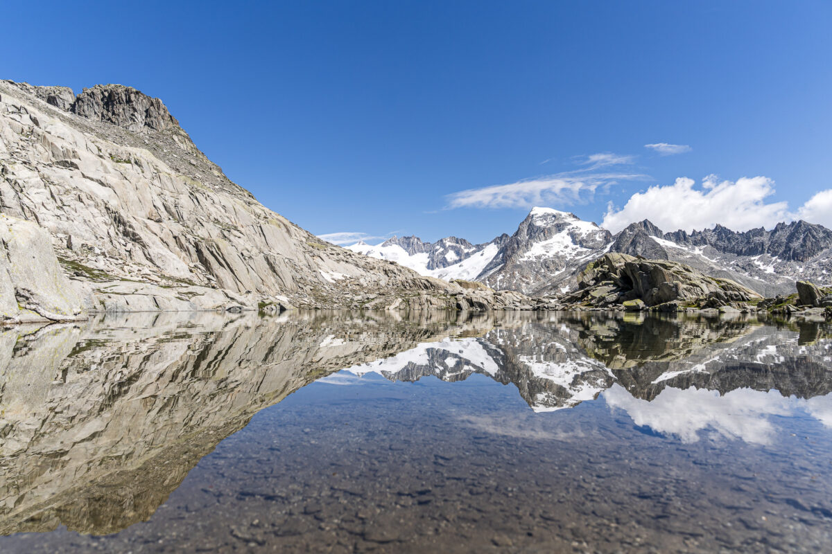
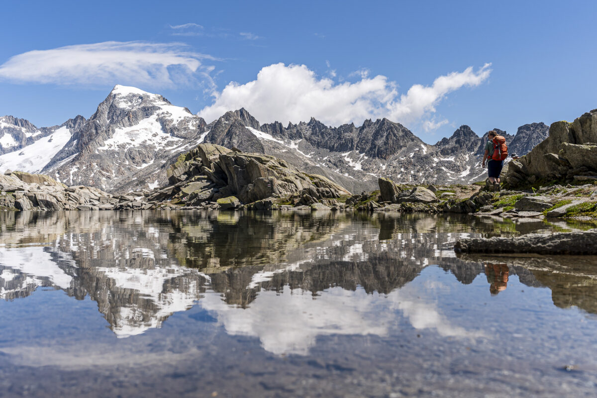
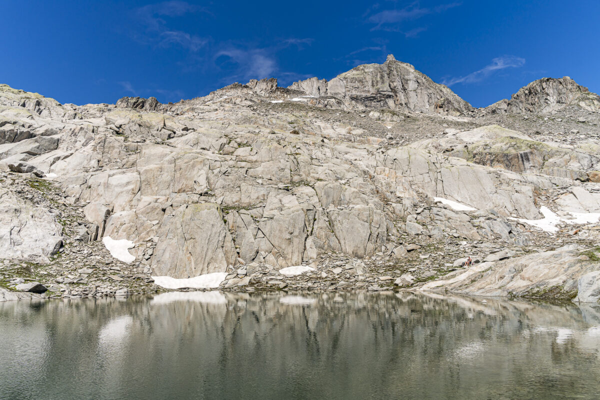
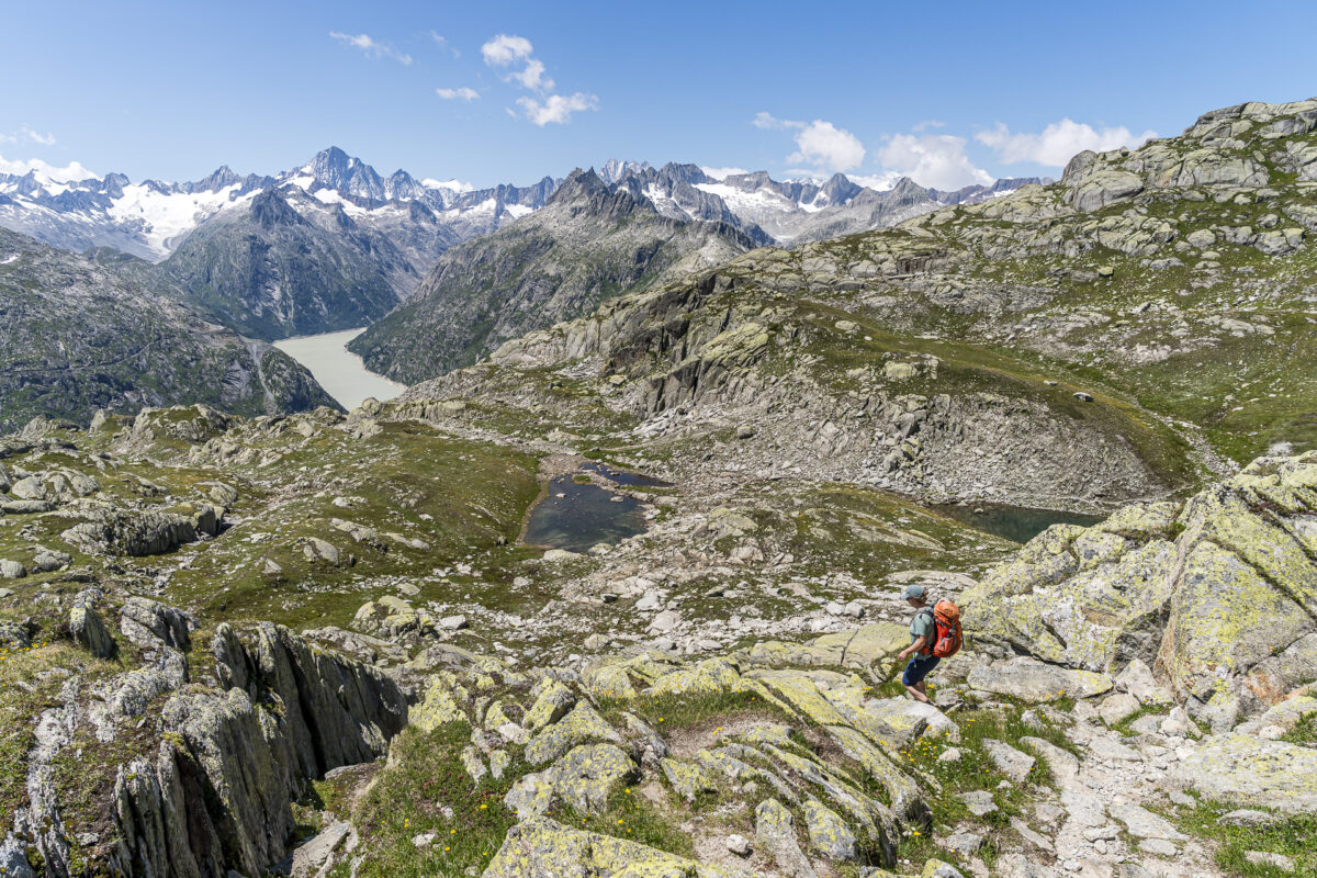
After just over four kilometers, we reach Grätlisee. Shortly before, we had crossed the cantonal border and are now on Valais soil. The mountain scenery around the small lake is particularly photogenic today, and we manage to capture a beautiful reflection of the Galenstock.
Across boulder terrain to «Bim Grosse Stei»
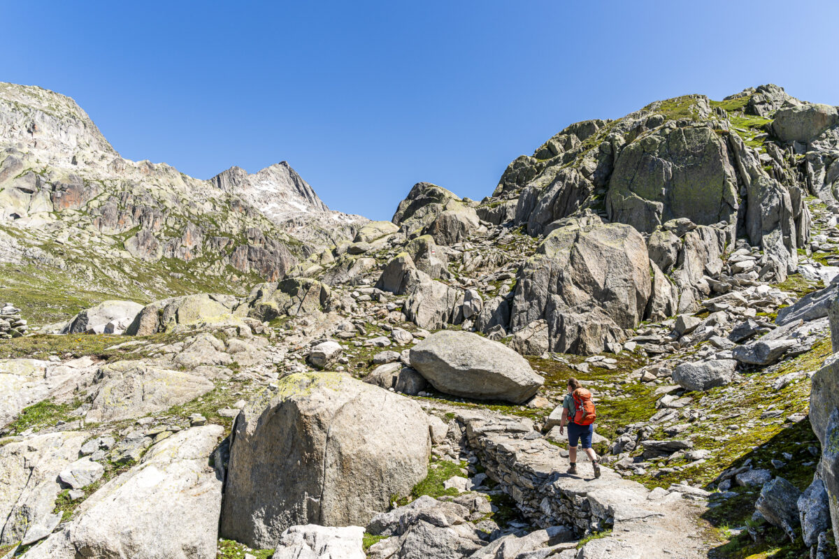
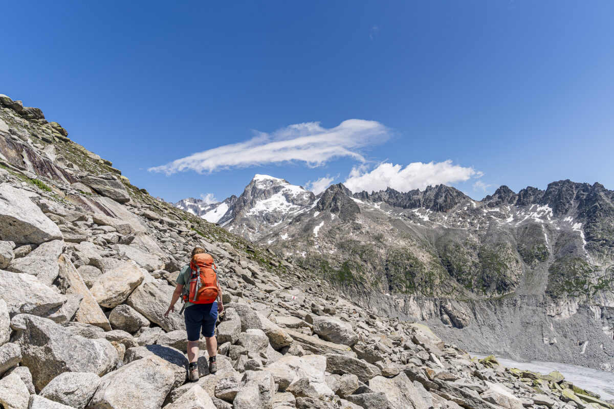
At Grätlisee, trail markers painted on stones point us toward «Bim Grosse Stei» and «Roti Blatte». There are no notable elevation changes from here – but the mountain trail becomes more technically challenging: sure-footedness is required, as you have to cross boulder fields. If you don’t feel confident doing so, you can simply take an extended break at Grätlisee.
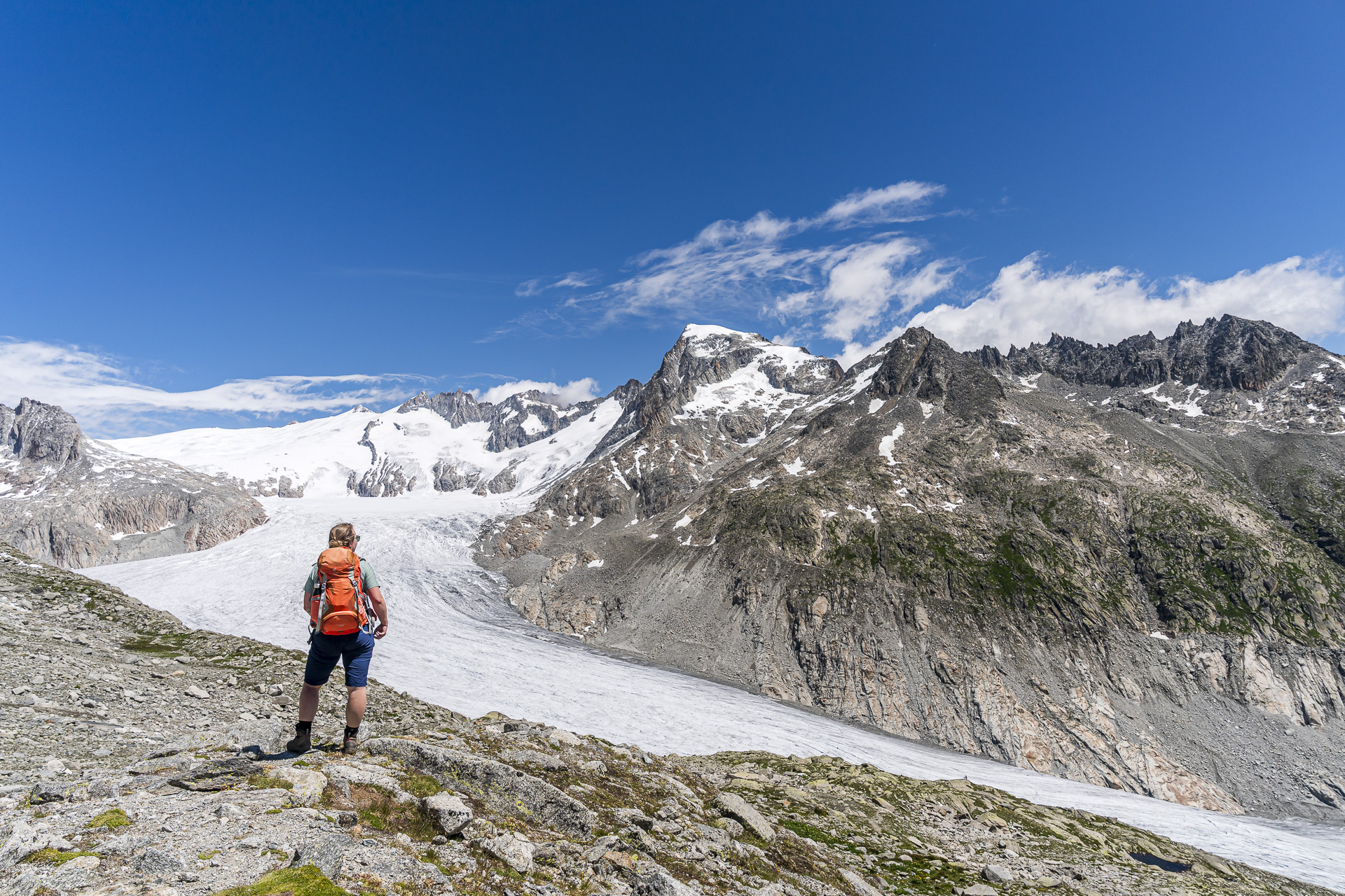
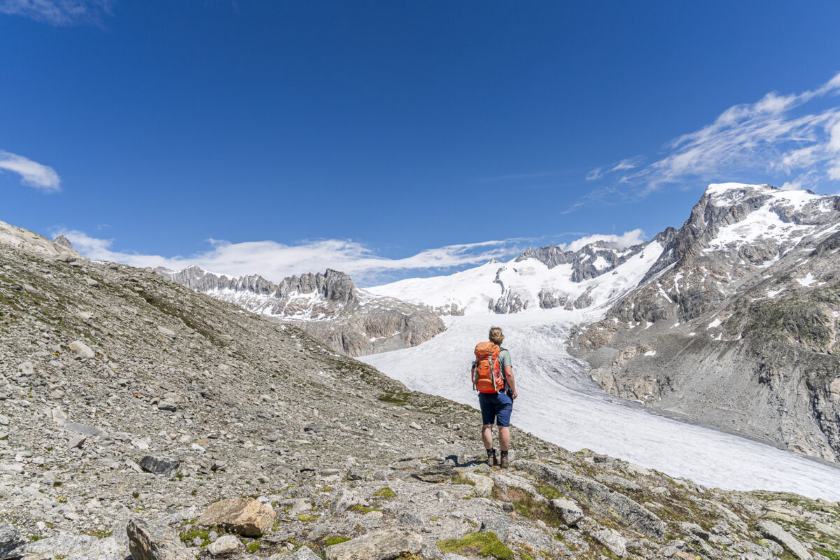
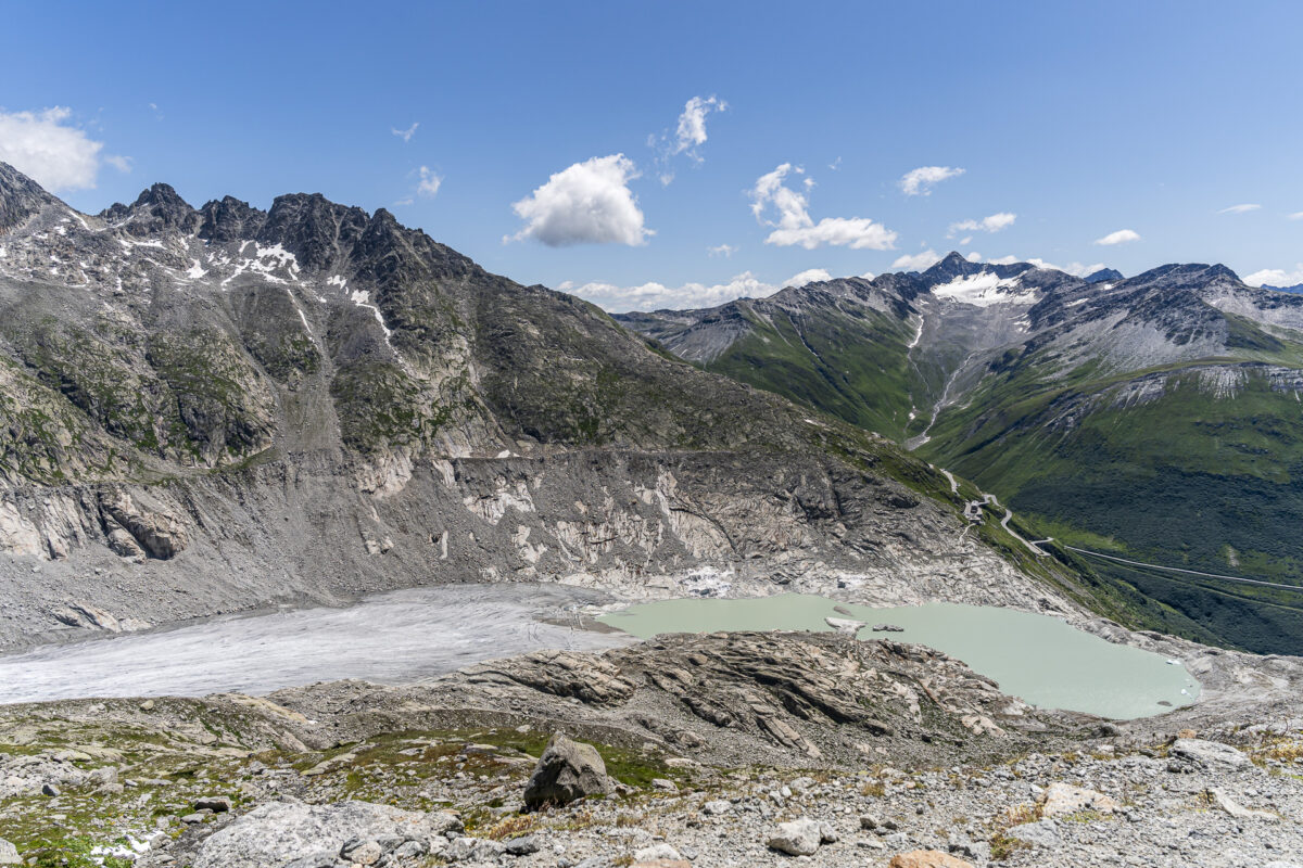
We, however, reach the viewpoint at «Bim Grosse Stei» – where, by the way, you won’t actually find a big stone – after another 20 to 30 minutes of walking. Here, we take a short break and soak in the magnificent panoramic view of the Rhone Glacier. At around eight kilometers in length, the Rhone Glacier is one of the ten longest glaciers in Switzerland. However, it retreats by several meters each year. Its drastic retreat in recent decades makes it a clear symbol of climate change.
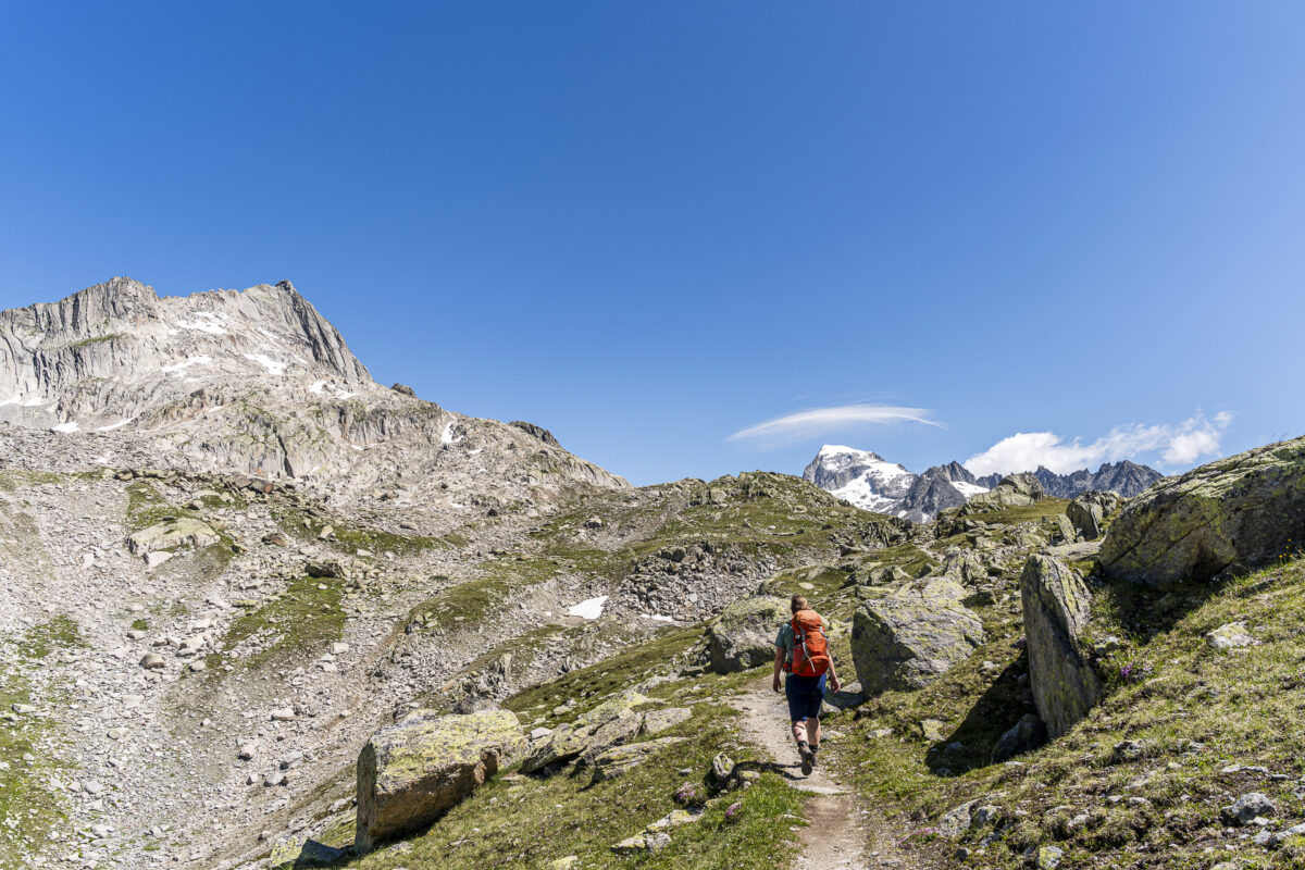
Return route with mountain panorama
The return follows the same route we took to ascend, always accompanied by the imposing mountain scenery of the Grimsel region.

Key facts about the hike Grimsel Pass – Nägelisgrätli – «Bim Grosse Stei»
The hiking map below shows the route from Grimsel Pass via Nägelisgrätli to Grätlisee/Grosse Stei. The trail is continuously marked with white-red-white mountain trail markings (T2/T3). Up to Grätlisee, the trail is well signposted and technically not particularly difficult. The final section from Grätlisee to «Grosse Stei» (around 900 m in length) leads through short boulder sections over rocky terrain. Here, the path is sometimes unclear – you need to find your way using the trail markings. Sure-footedness and sturdy footwear are essential in this section.
| Starting point | Postbus stop Grimsel Passhöhe (2,163 m a.s.l.) |
| Accessibility | Accessible by public transport |
| Length | 10.3 kilometers |
| Elevation gain/loss | ↗ 760 m ↘ 760 m |
| Duration | 4:00 h |
| Destination | Postbus stop Grimsel Passhöhe (2,163 m a.s.l.) |
| Refreshment option | Restaurant Alpenrösli at Grimsel Pass |
Practical tips for your hike to Grätlisee/Grosse Stei
- Note: Grimsel Pass is only accessible during the summer season.
- The starting point of the hike, Grimsel Passhöhe, can be reached during the summer season from early June to mid-October by public transport using the Grimsel Pass line (bus no. 161) from Meiringen. Check the timetable in advance via the SBB app.
- The best time for a hike over Nägelisgrätli is from early July to early October. Check snow and weather conditions in advance. Due to the altitude, snowfields can remain in shaded areas well into June.
- If you’d like to combine a trip to the Grimsel area with another scenic mountain hike, I can recommend the hike to the Sidelhorn described here.

Leave a Reply