Scenic High Trail from Elsigenalp to Adelboden
Advertisement: This post was created in collaboration with Elsigenalpbahnen AG.
Elsigenalp has gained a scenic new hiking trail. On the new high-altitude trail from Elsigenalp to Adelboden, you hike along well-prepared paths towards the impressive end of the Engstligen valley. We scouted this family-friendly tour in glorious summer weather and wouldn’t want to keep this tip from you.
A hearty mountain breakfast to start the hike
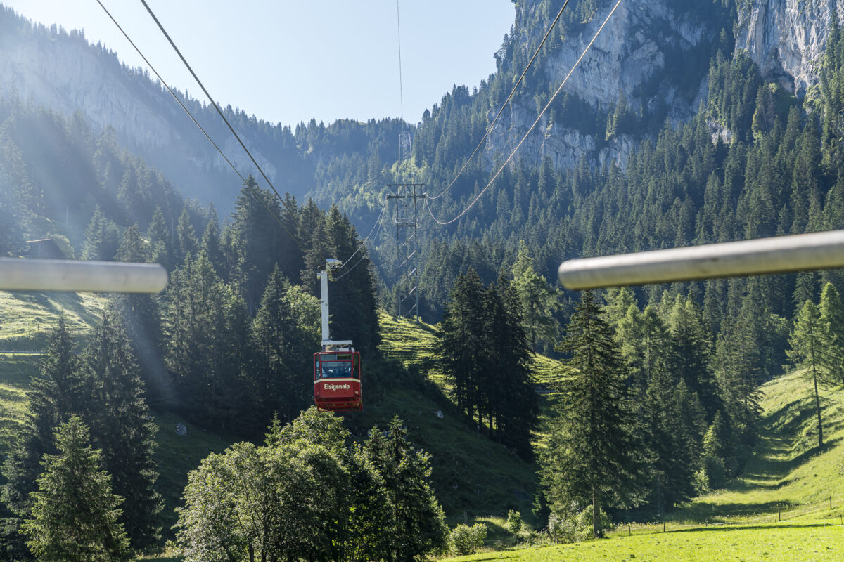
This morning, much feels familiar. On our fourth trip to Elsigenalp, we know “how things go.” We line up in Frutigen in front of the PostAuto, inform the bus driver about our desired bus connection from Achseten Kirche to the valley station of the Elsigenalpbahnen, and once more marvel at the mighty limestone cliffs during the cable car ride.
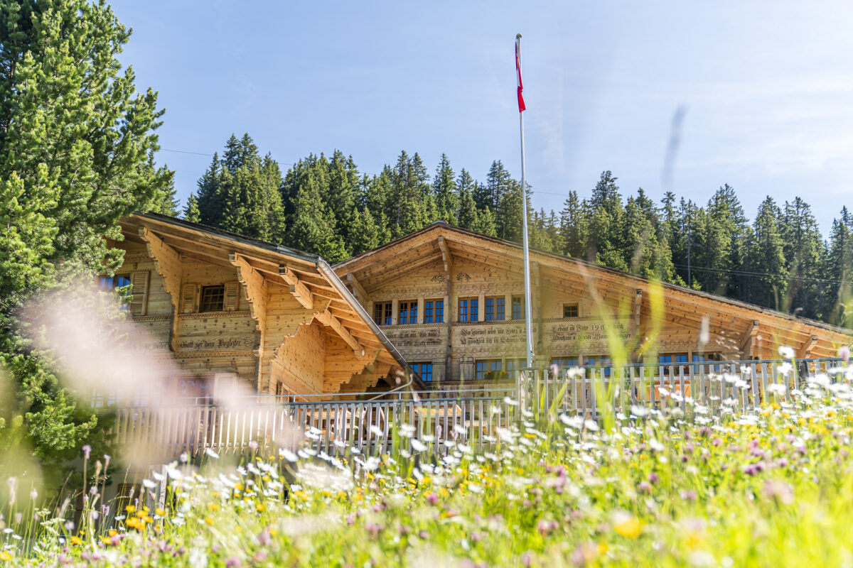
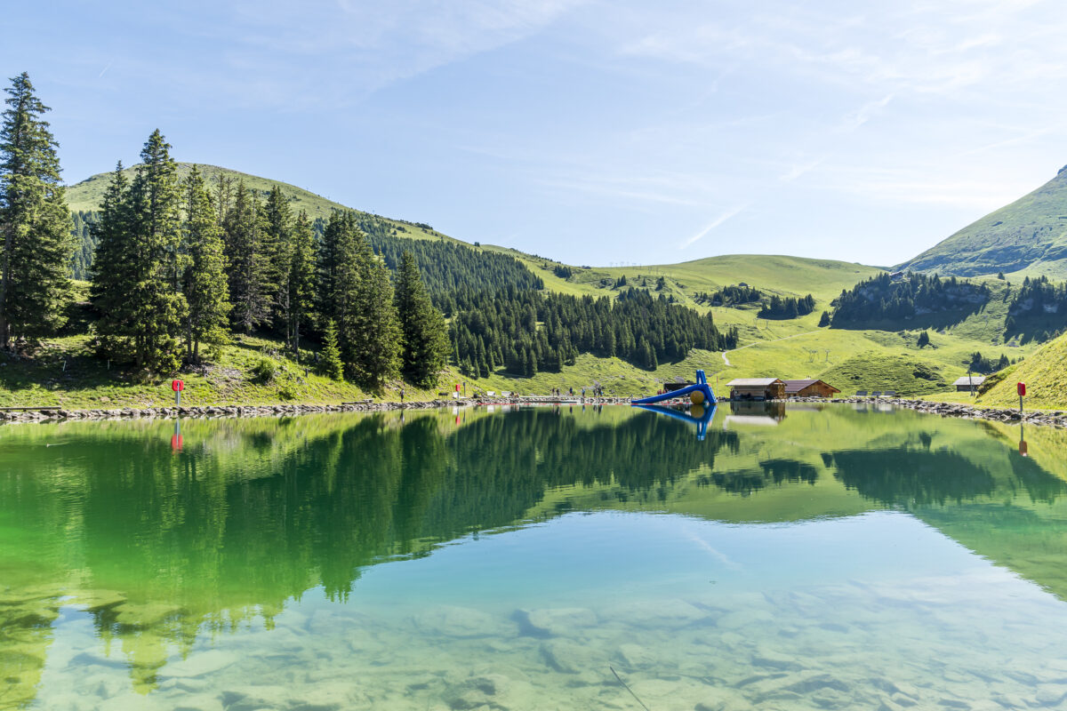
Upon arrival at Elsigenalp, a premiere awaits us. Last summer, the Berghaus Elsigenalp was closed due to extensive renovation work. This year, guests are once again spoiled on the spacious sun terrace. During the high season, the mountain house also offers various summer specials, including the “Bärgzmorge.” Every Saturday and Sunday from 08:30 to 11:00 AM, the mountain house serves a rich breakfast buffet featuring many regional specialties, including various cheeses from the surrounding dairies. The Bärgzmorge is rounded off with a glass of Prosecco by the Brandsee.


The first scenic meters on the high-altitude trail Elsigenalp – Adelboden
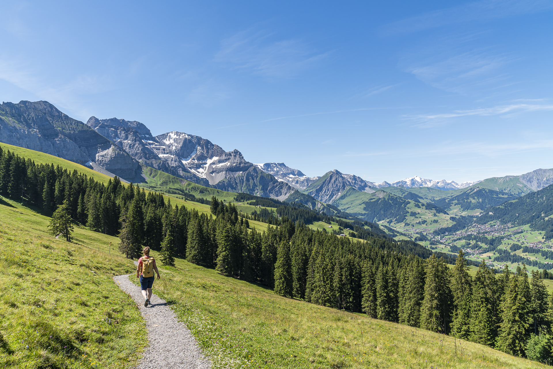
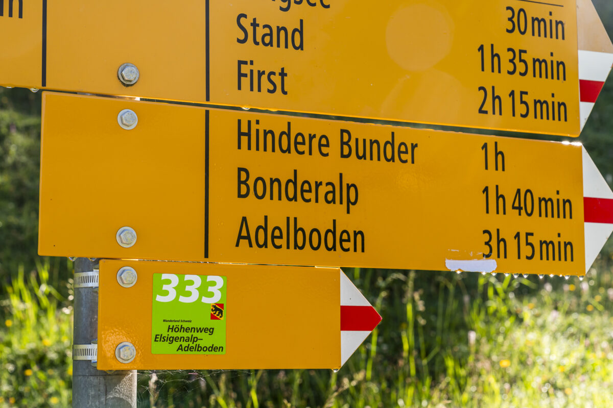
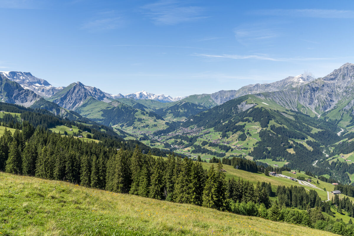
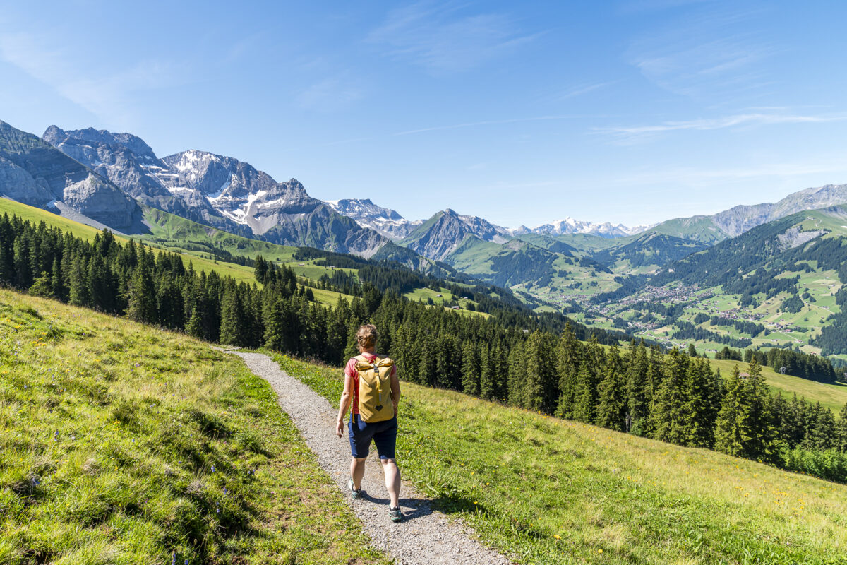
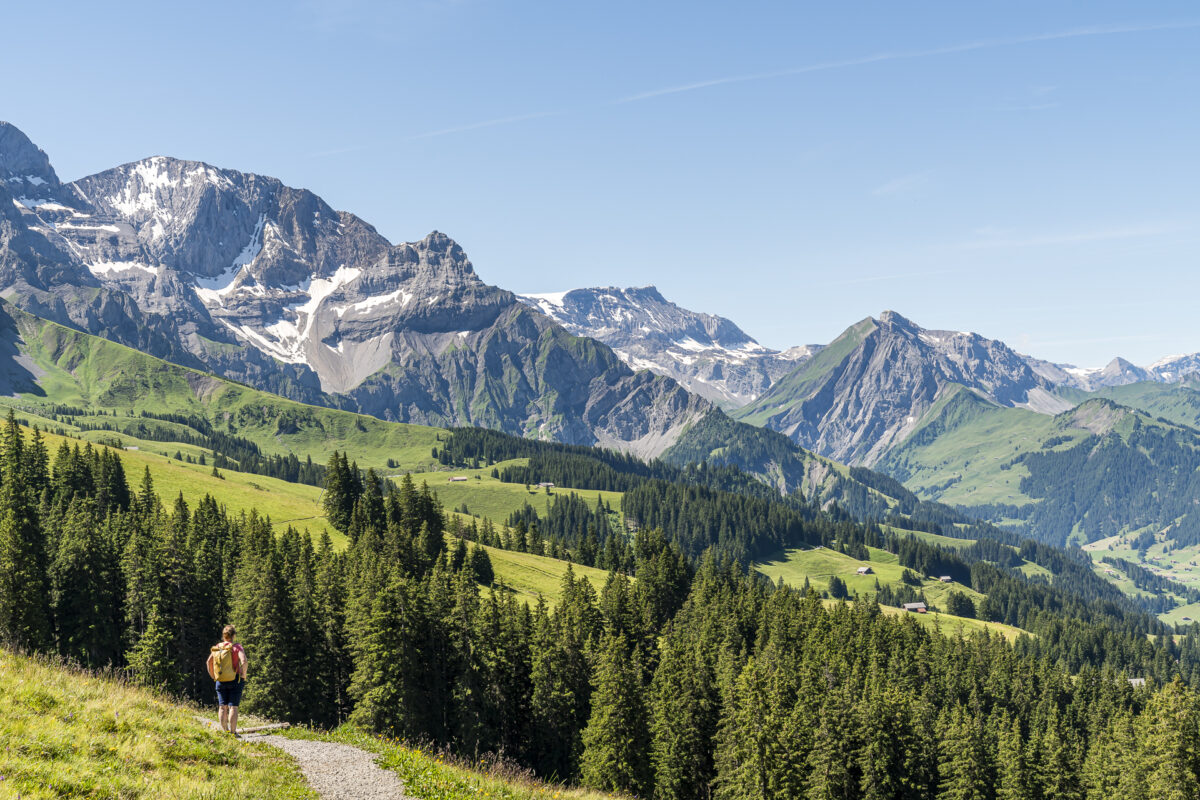
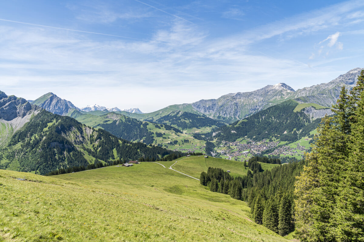
And here starts the newly opened high-altitude trail from Elsigenalp to Adelboden. Well-fed after the Bärgzmorge, we follow the clearly visible signpost number 333 around the “Metschegga.” It doesn’t take long for the “wow moment” to arrive. After just a few minutes, we enjoy a clear view over the rear Engstligen valley. The perfectly placed bench is – understandably – already occupied. We still pause for a moment and admire the mountain panorama. “Albristhore, Hahnenmoospass, Ammertespitz, Wildstrubel – and can you see the Wildhorn in the very back?” The PeakFinder app on the smartphone confirms the suspicion.
In a varied up and down across the Alp Metsch
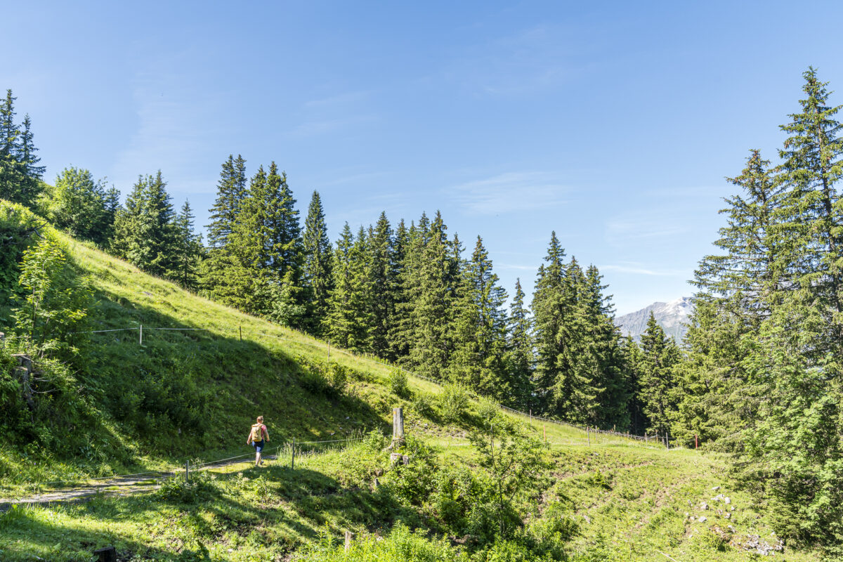
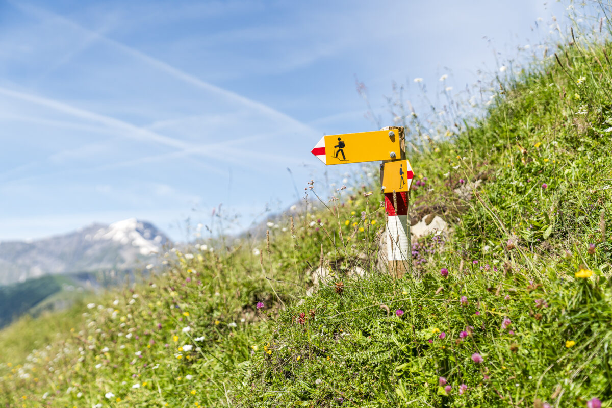
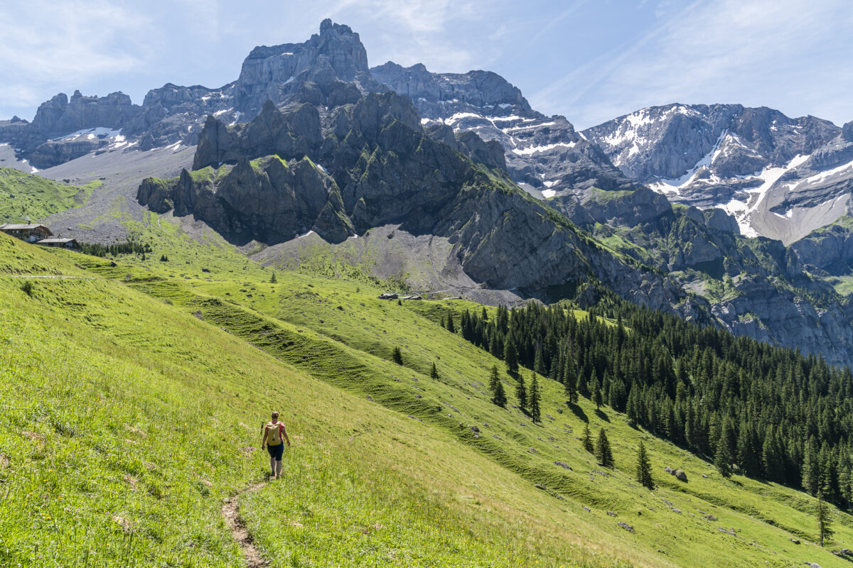
This magnificent backdrop accompanies us over the next four kilometers, where the trail leads us in a varied up and down across Alp Metsch to Bonderalp. Not only the topography but also the path conditions provide variety; sometimes the hiking trail follows existing, wide gravel paths, sometimes it is directed over narrow grassy trails. The junctions are clearly signposted.
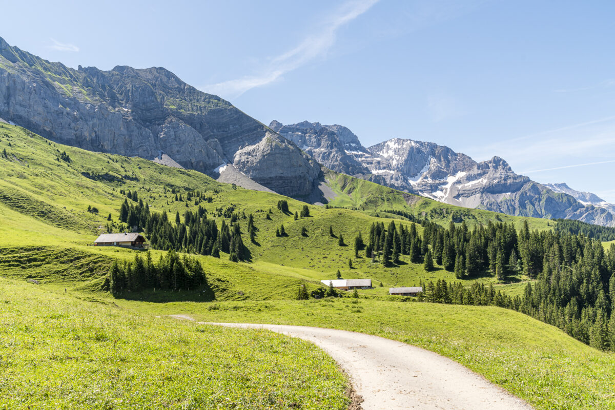
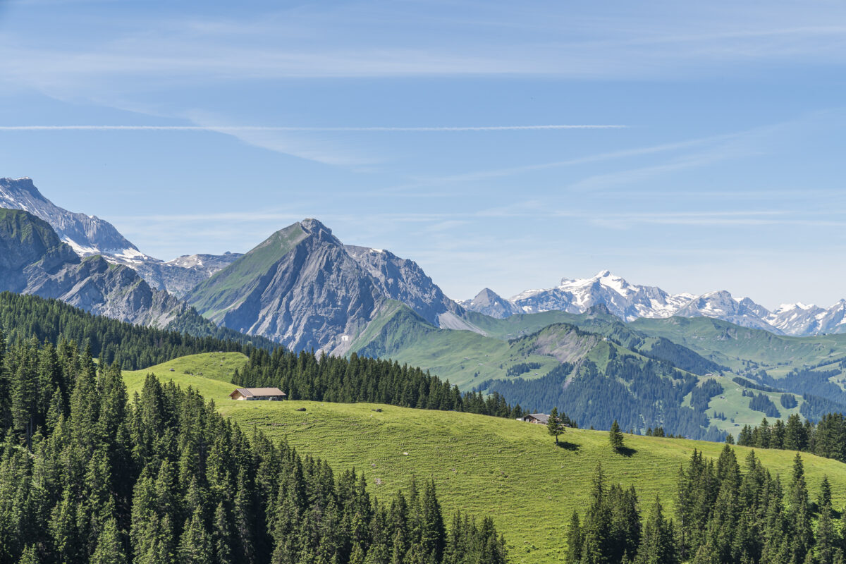
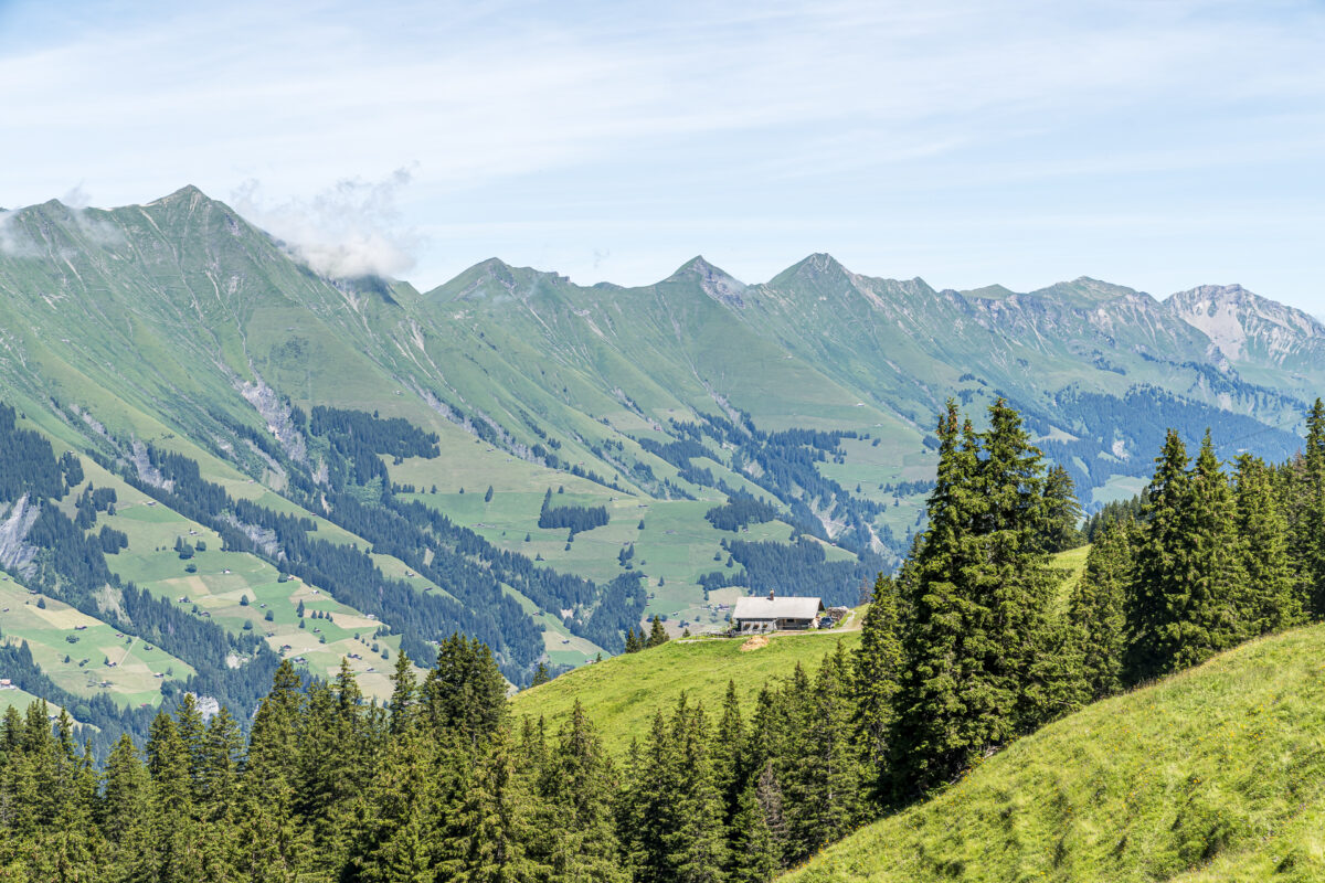
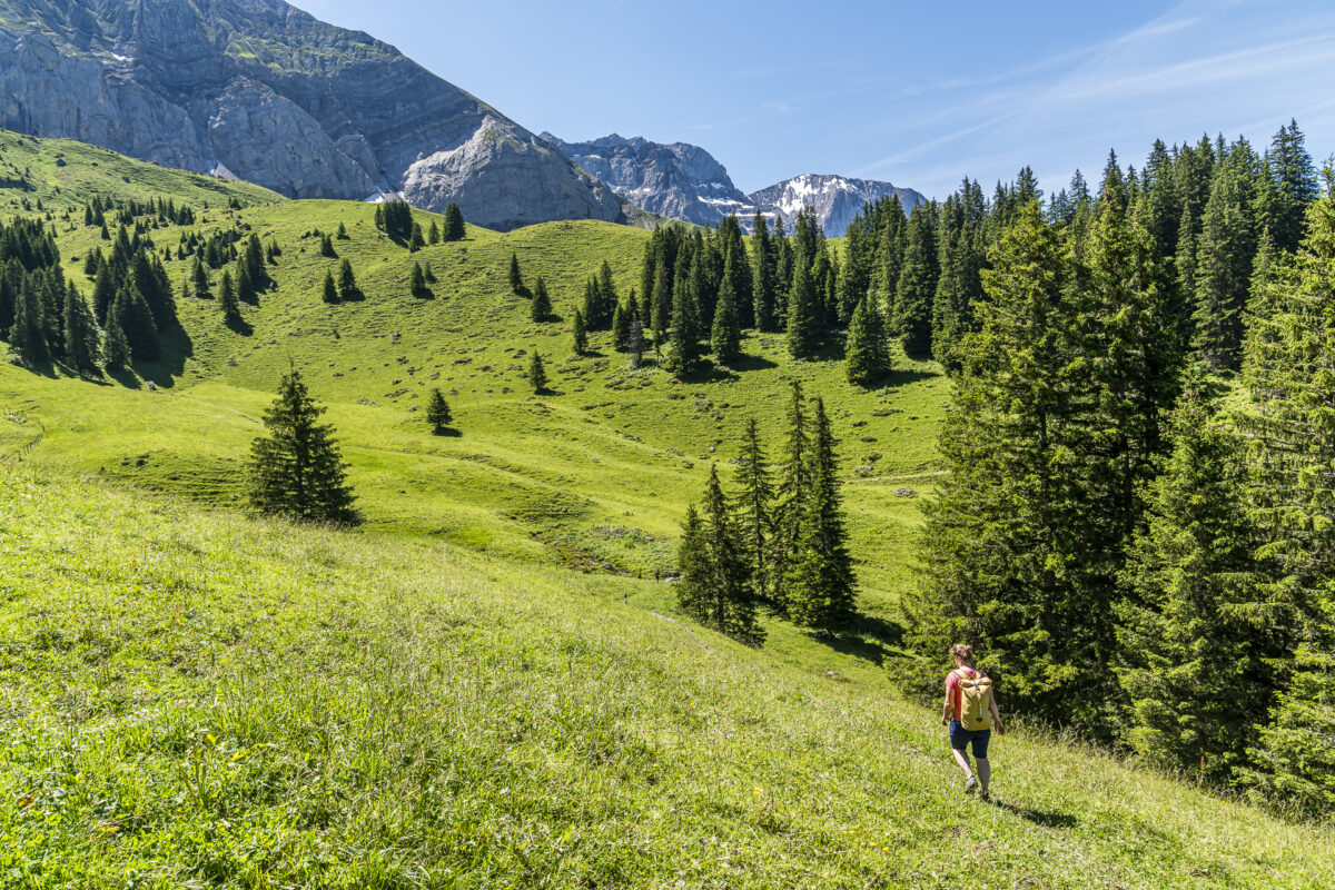
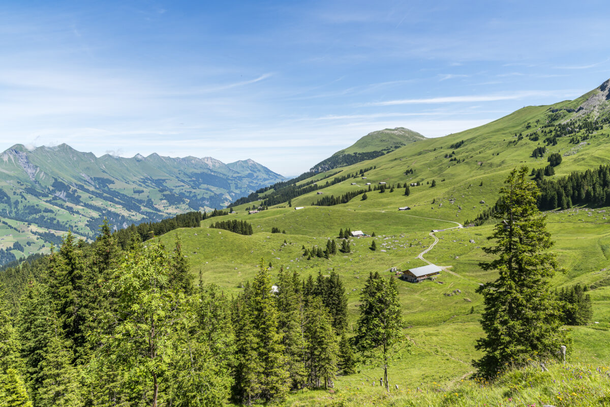
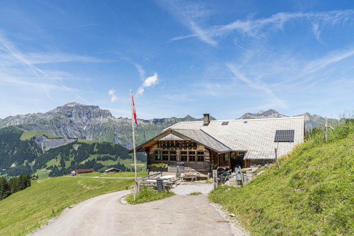
Only after crossing the Chüebach, an abrupt change of direction causes a moment of uncertainty. “Is this the way to Adelboden?” asks a young man with a heavily loaded backpack, whom we have now caught up with. I check the route on the SwitzerlandMobility app. Indeed, the high-altitude trail leads here over a narrow natural path up a steep 50 meters in altitude and then directs us purposefully to the Berghaus Bonderalp. Here, we cross the paved Alpine road and follow the hiking path over another Alpine meadow downhill.
Following the Bunderlebächli to Adelboden
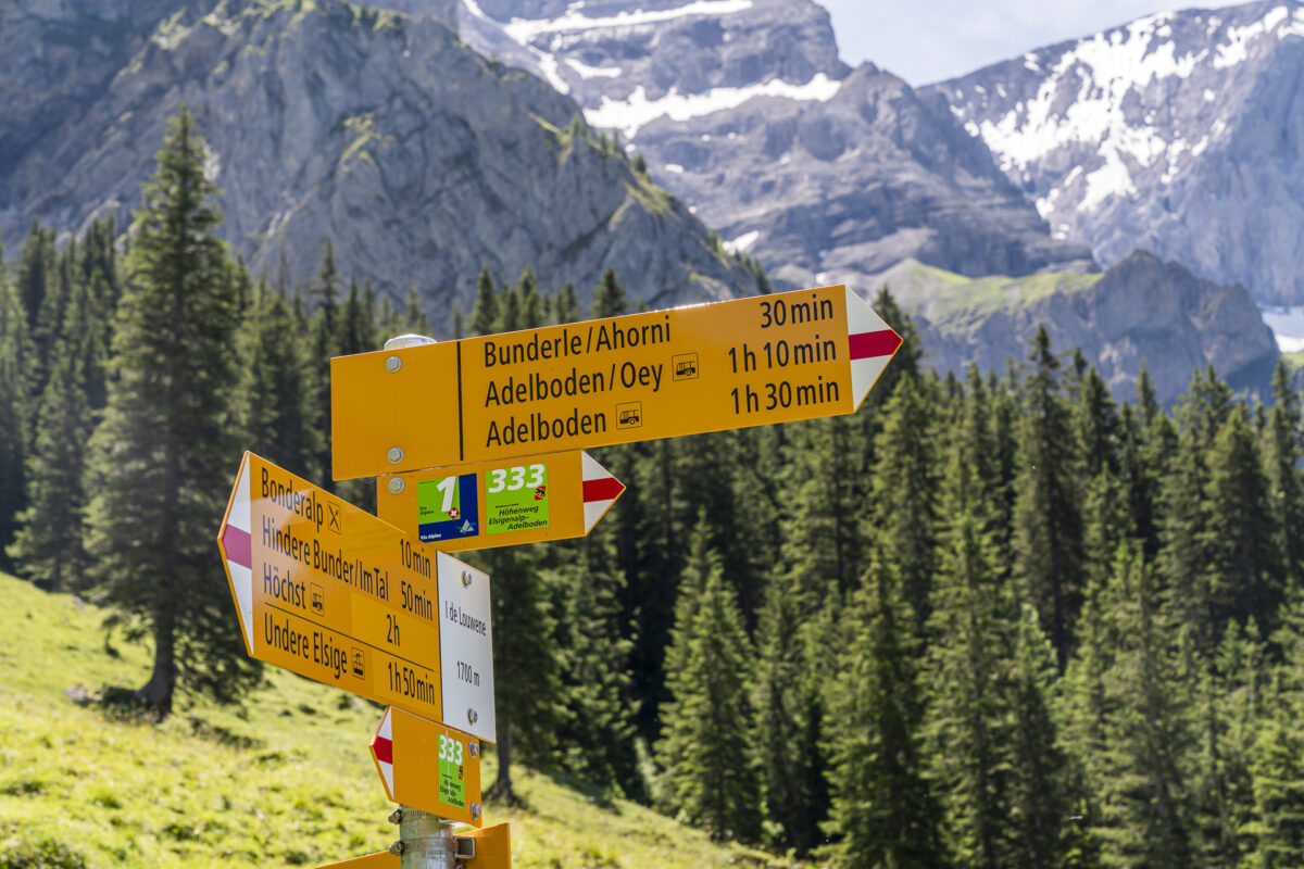
Shortly thereafter, we join the Via Alpina, which leads from Kandersteg over the Bunderchrinde to Adelboden. On the remaining nearly four kilometers down to Adelboden, Oey, the high-altitude trail from Elsigenalp to Adelboden follows the route of the Via Alpina. The descent presents no notable difficulties. In the first third, it’s somewhat steeper downhill, and the terrain can be a bit slippery in places after sustained rain. From Ahorni, another really nice trail section awaits us, following the wooded banks of the Bunderlebächli down to Bonderlen. From there, the path down to Adelboden Oey is paved (about 1.4 km).
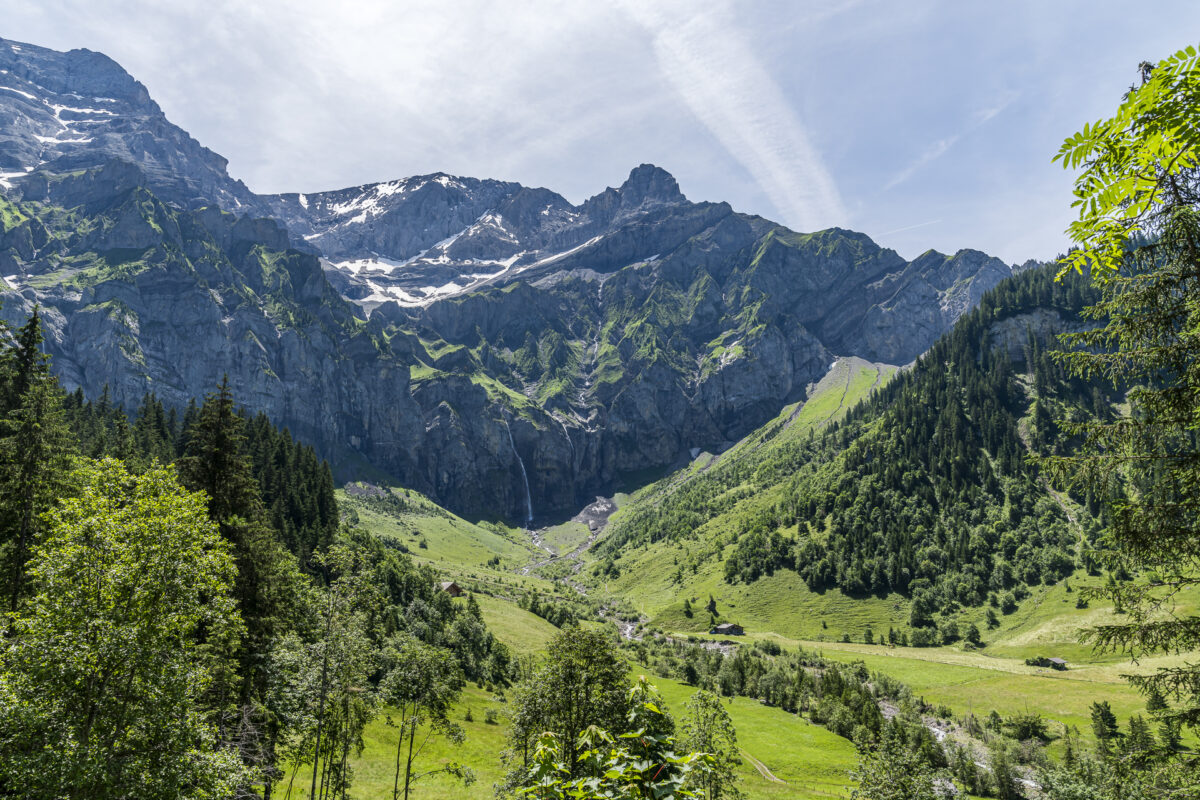
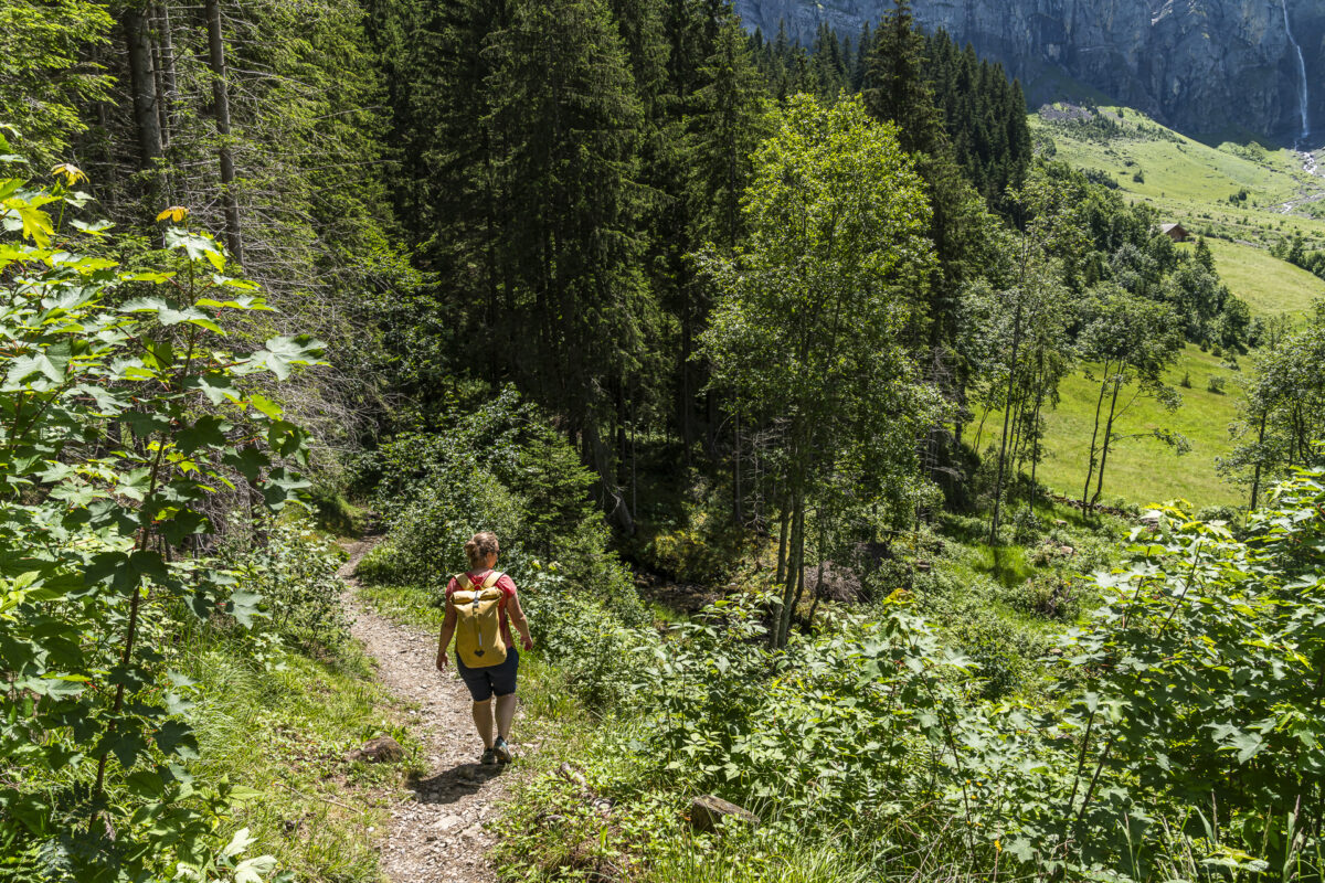
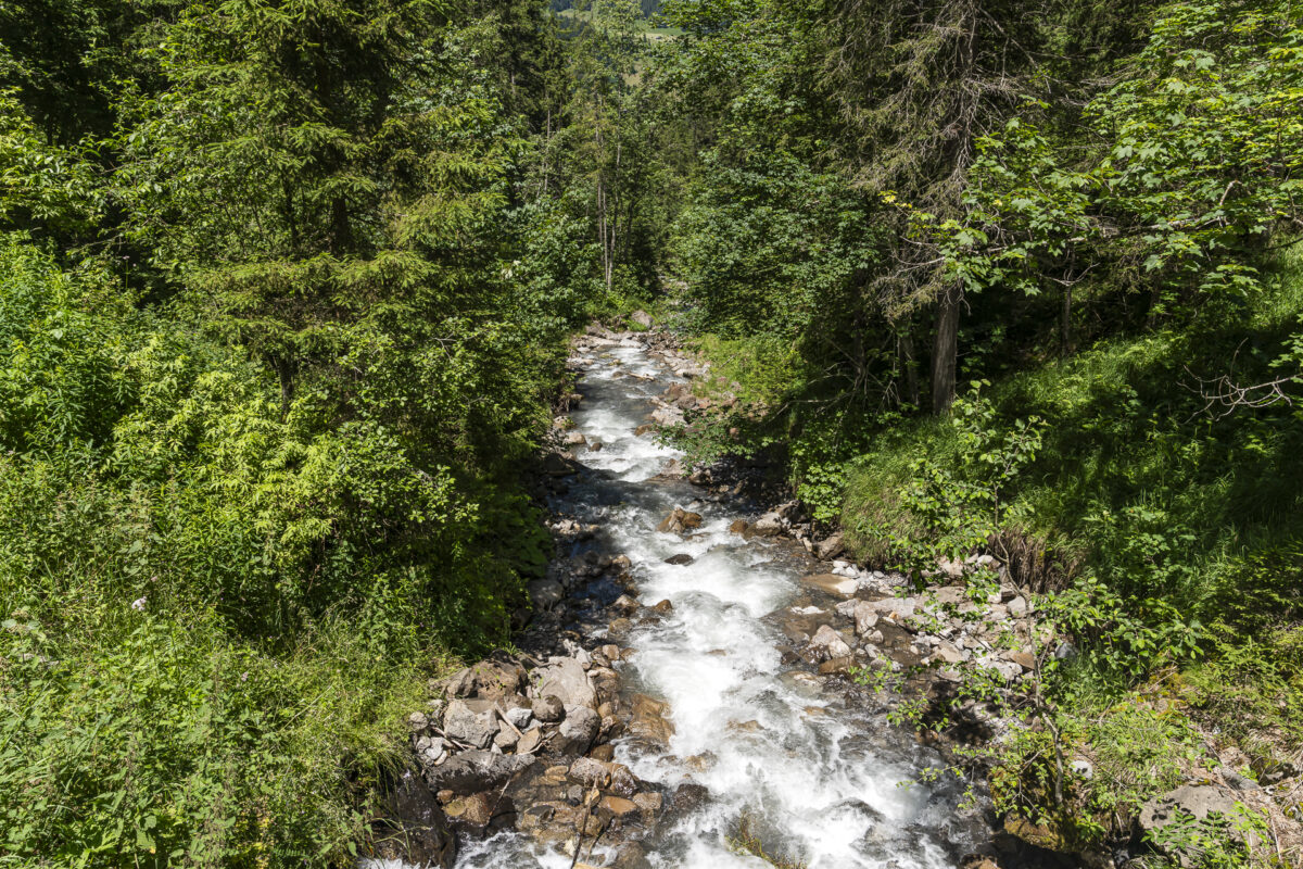
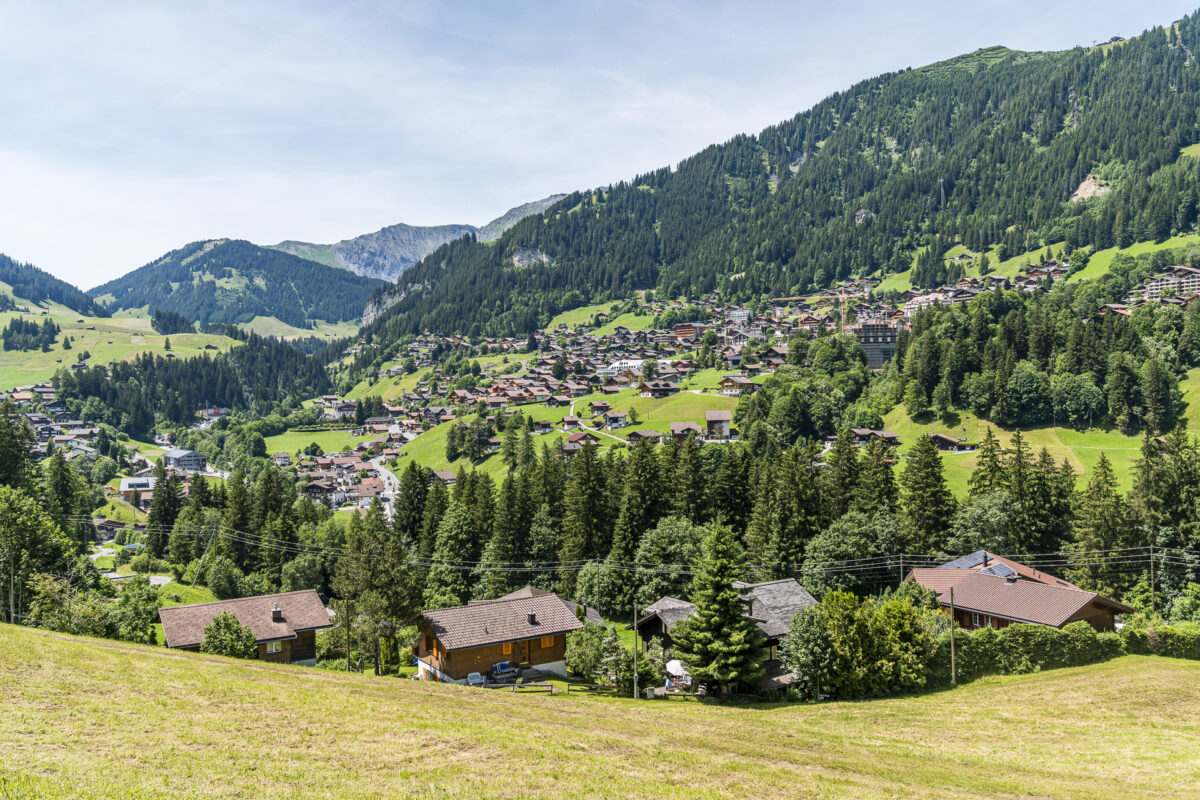
Overall, this is a really cool tour that can also be managed with average fitness and with children and dogs. If you prefer a sportier challenge, you can of course tackle the high-altitude trail in the opposite direction. Don’t forget to take regular breaks and enjoy the view of the valley end.
Key data of the hike on the high-altitude trail Elsigenalp – Adelboden
Based on the following hiking map, you can trace the route of our hike on the high-altitude trail Elsigenalp – Adelboden. The high-altitude trail is signposted at the junctions with the route number “333”.
It is mostly a white-red-white marked mountain hiking trail (T1/T2). The entrance up to shortly after the Brandsee as well as the last 1.6 kilometers run over a yellow marked hiking trail (T1). Between the Berghaus Bonderalp and the transition from the white-red-white marked mountain hiking trail to the yellow marked hiking trail, it is occasionally a bit steeper and can be slippery depending on the weather (after rain showers). If you normally hike with walking sticks, I recommend taking them for the hike on the high-altitude trail Elsigenalp-Adelboden.
We ended the hike in Adelboden, Oey, and took the bus back to Frutigen. Alternatively, you can cross the country road at this point and follow the hiking trail up the hill for about 20 minutes to the village center of Adelboden.
| Starting point | Mountain station Elsigenalp (1,797 m above sea level) |
| Accessibility | Valley station mountain railway Elsigenalp accessible by call bus |
| Length | 9.4 kilometers |
| Elevation gain | ↗ 271 m ↘ 819 m |
| Duration | 3:00 h |
| Destination | Bus stop Adelboden, Oey (1,239 m above sea level) |
| Refreshment options | Berghaus Elsigenalp, Berghaus Bonderalp, Holiday alp Adelboden |
Practical tips for your hike on the high-altitude trail Elsigenalp – Adelboden
-
- The cable car to Elsigenalp is in operation from the end of May to mid-October. Information on operating times and ticket prices can be found on the Elsigen-Metsch website. The hike on the high-altitude trail Elsigenalp – Adelboden can usually be done well throughout the entire summer season.
-
- Note that the bus connection from Achseten Kirche to Achseten Elsigbach is a call bus. A telephone reservation is required. Generally, you can also register with the bus personnel in Frutigen and indicate that you would like to take the connecting bus (timetable according to SBB).
-
- The Bärgzmorge with the rich brunch buffet is held during the peak season (July/August) every Saturday and Sunday between 08:30 and 11:00 AM. The offer costs 34 CHF for adults. A prior reservation is required. Further information and the booking link can be found on the website of the Berghaus Elsigenalp.
-
- It is also possible to stay overnight at Berghaus Elsigenalp. The offer includes cozy double rooms, family rooms, and dormitory rooms with showers/WC on the floor (double rooms from 127 CHF per night/person including half board / dormitory rooms from 87 CHF per night/person including half board). Children receive a discounted price. Here’s more information: Stay at Elsigenalp
-
- If you do the hike in the opposite direction, you can pack swimsuits and refresh yourself with a jump into the Brandsee upon arrival at Elsigenalp. Around the bathing lake, you will also find several small fireplaces where you can comfortably barbecue.
More hiking tips in the region
Over the past years, we have profiled several hiking routes around Elsigenalp. Here are more tour tips:
-
- From Kandersteg over the Golitschenpass to Elsigenalp. This tour can also be well combined with the high-altitude trail Elsigenalp-Adelboden. Assuming you’re looking for a sporty day tour.
-
- In the opposite direction over an equally scenic panoramic hiking trail from Elsigenalp to Frutigen.




Leave a Reply