



2-day hike from Lenk via Engstligenalp to Kandersteg
What does it take for a really great 2-day hike? A pass that puts you through your paces. An idyllic alp for the well-deserved overnight stay. Ridges that provide a bit of a thrill. And of course plenty of mountain panorama. The hike from Lenk via the Engstligenalp to Sunnbüel near Kandersteg brings all of that together. Does that sound like a hike for you? Great. Then let’s get going: here you’ll find the detailed route description and all the important information for retracing it.
Day 1: from Lenk via the Ammertenpass to the Engstligenalp
Okay, admittedly, I was a bit nervous before the first stage of this tour. Any hike with well over 1’000 meters of ascent triggers a kind of low-level panic in me that I’ll run out of steam along the way. And that’s even though I actually know I’ve managed significantly more vertical meters in a single day before.
But before we tackle the elevation gain, we want to start with a coffee at Hotel Restaurant Simmenfälle right next to the bus stop. Although the bus arrives at 9:40 a.m., day guests are only served from 10:00 a.m. Thanks to a friendly staff member we still get our coffee. Why they don’t align opening hours with the bus arrival time is something we don’t quite understand, though.
Easy warm-up walking along the Simme
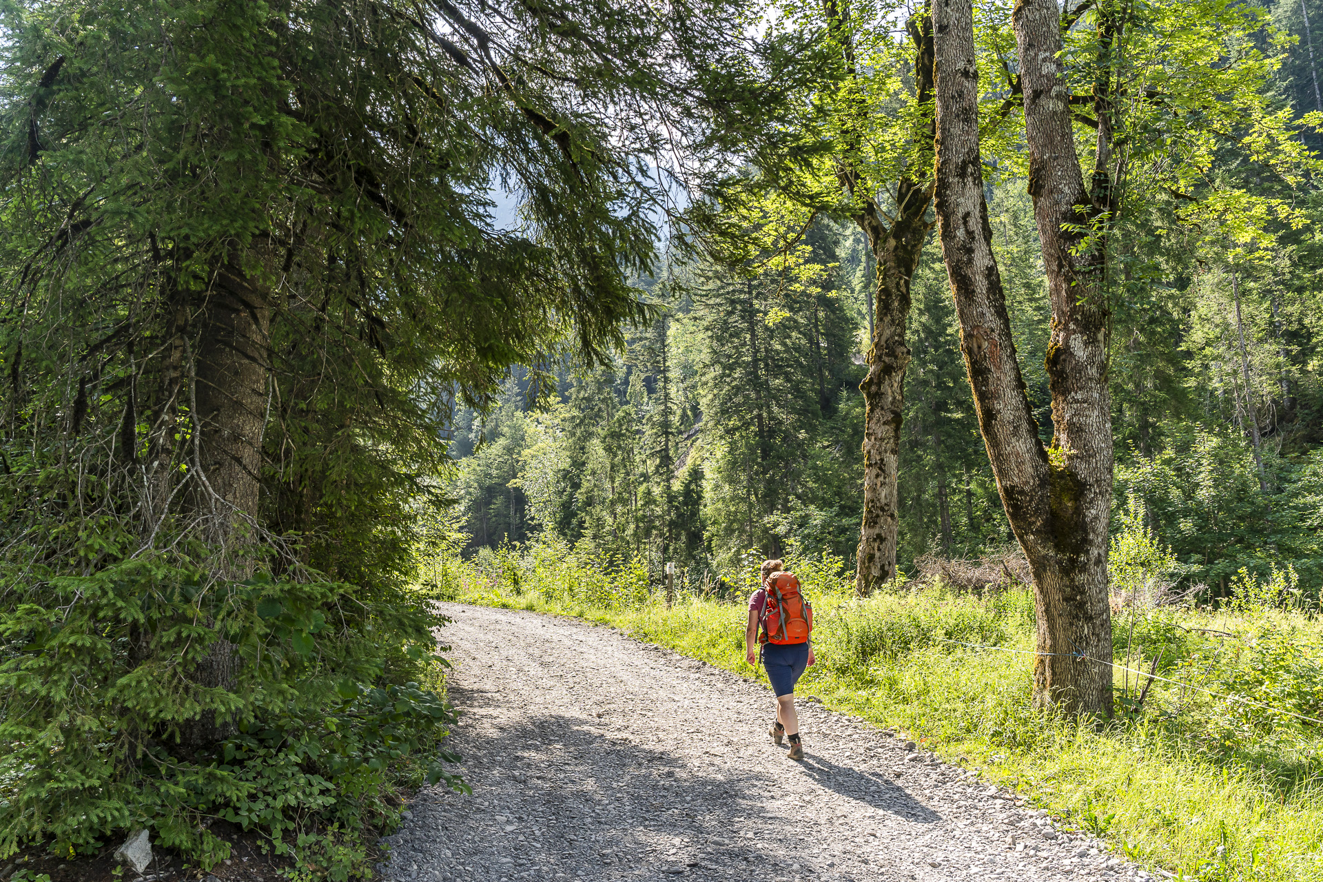
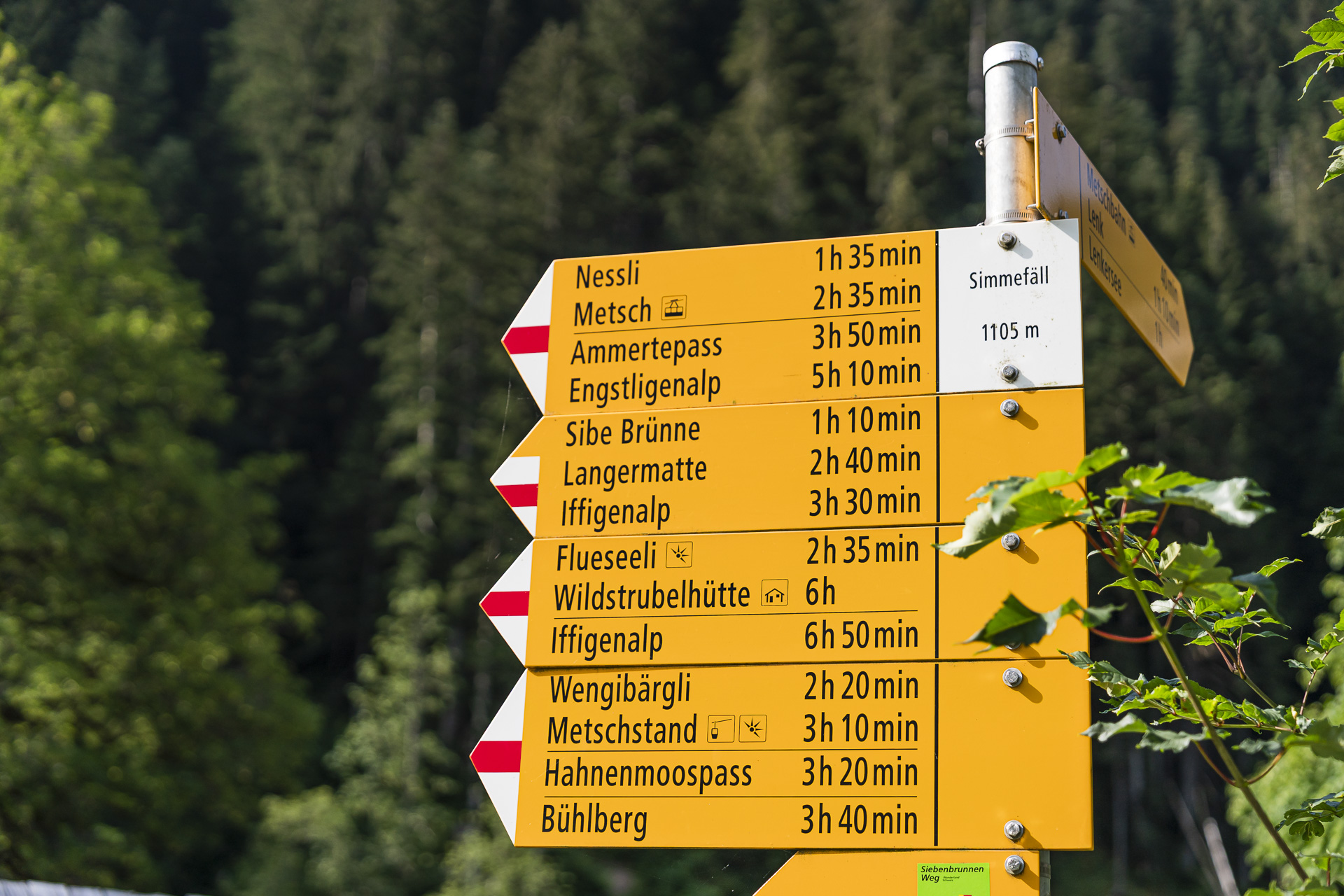
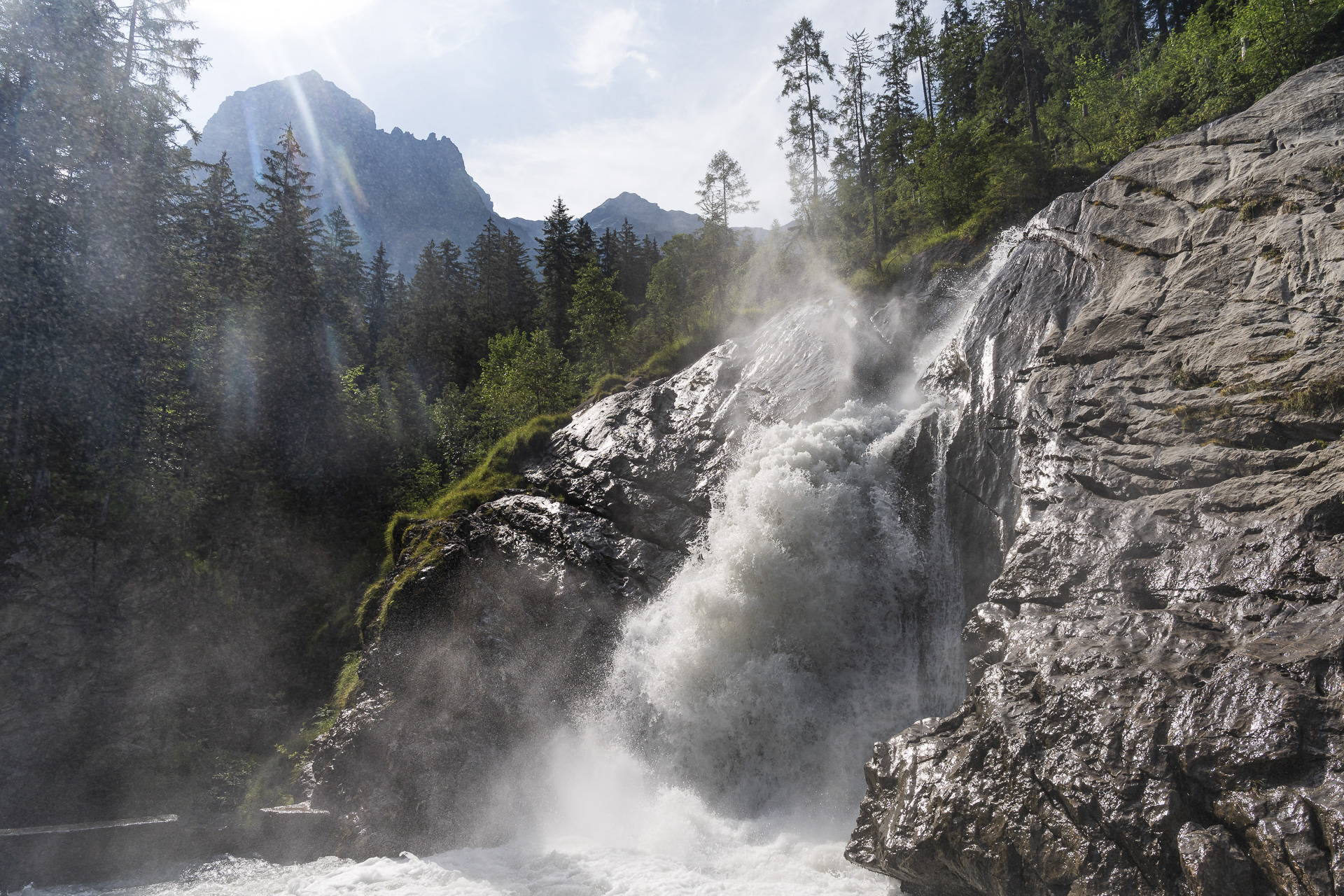
Then it’s time to sling on our backpacks and set off. The Ammertenpass is signposted as 3 hours 50 minutes. For the first kilometer up to the junction ‘Stalde’ we follow the Siebenbrunne-Weg uphill along the Simme. At the Barbarabrücke the impressive spray of the Simme provides a first cooling – and we can use that, because in the next roughly three hours we’re going to work up a fair sweat.
On lonely paths through the Ammertentäli
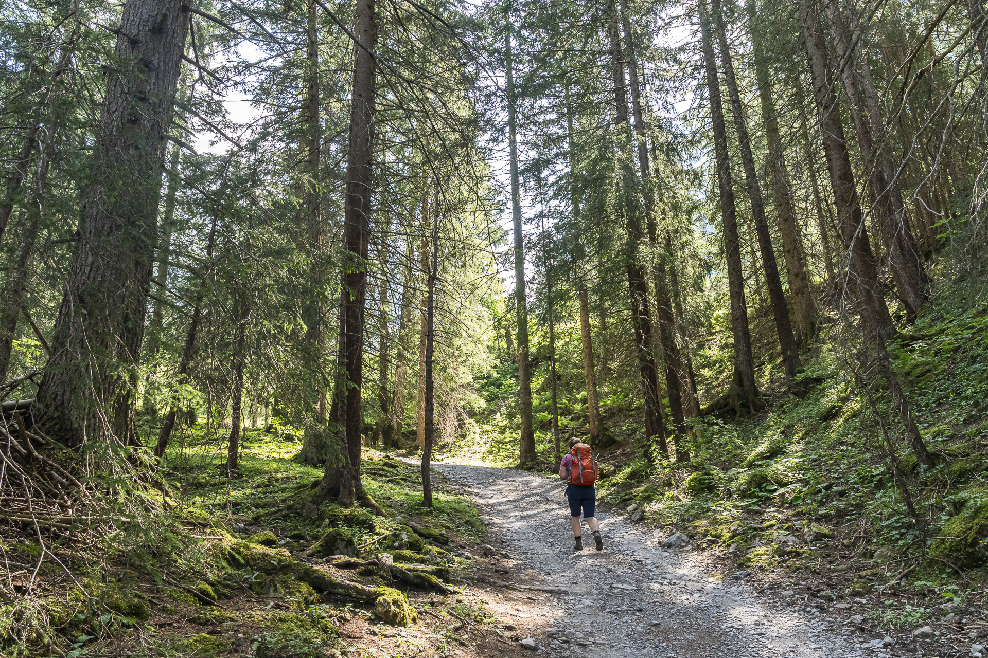
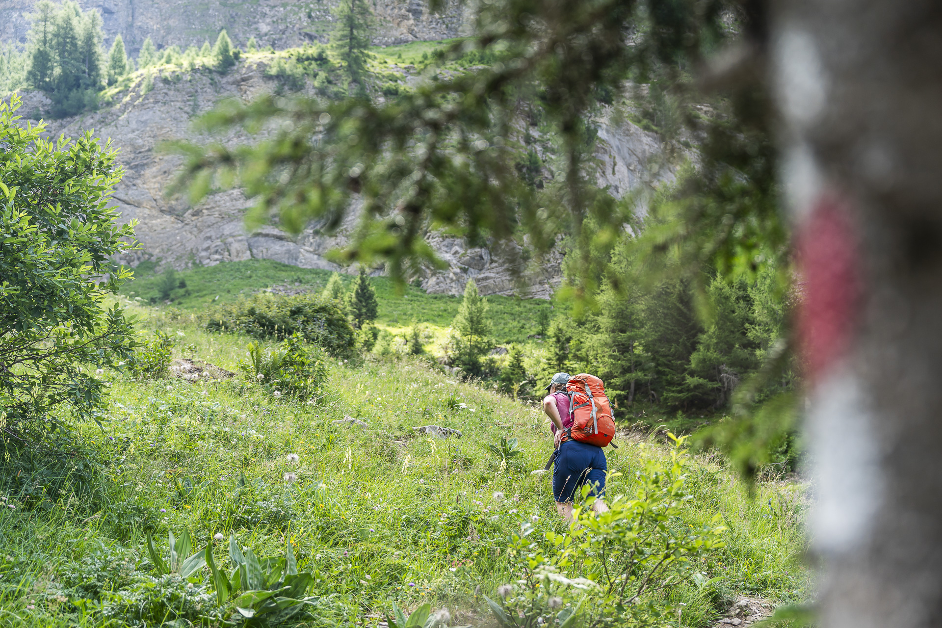
After just under 45 minutes we reach the junction and follow the signpost toward Ammerte / Schafberg to the left. While there are still a few day trippers and hikers around the Simmenfälle, on the stretch up to the Ammertenpass we can count our encounters with other people on one hand.
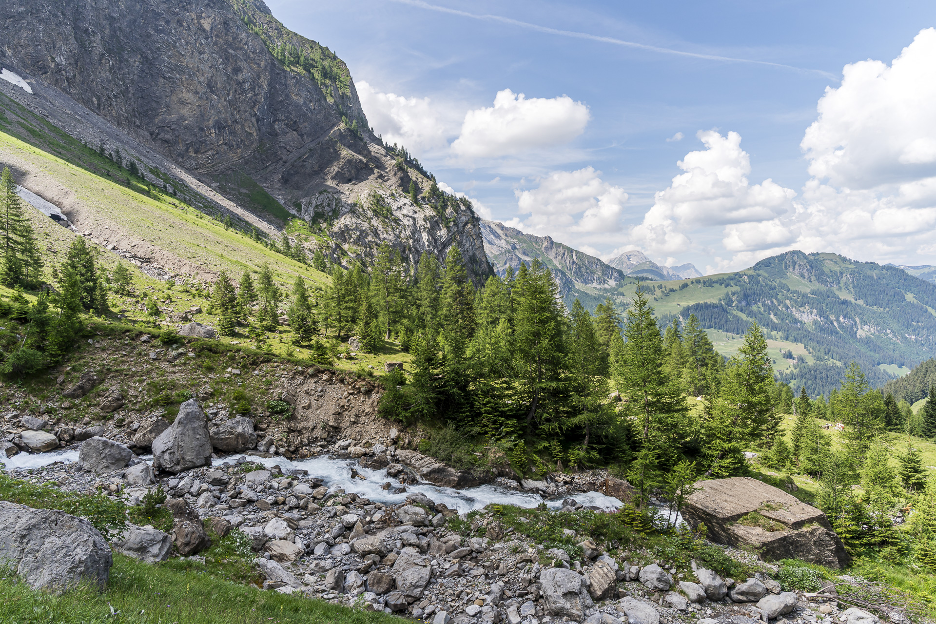
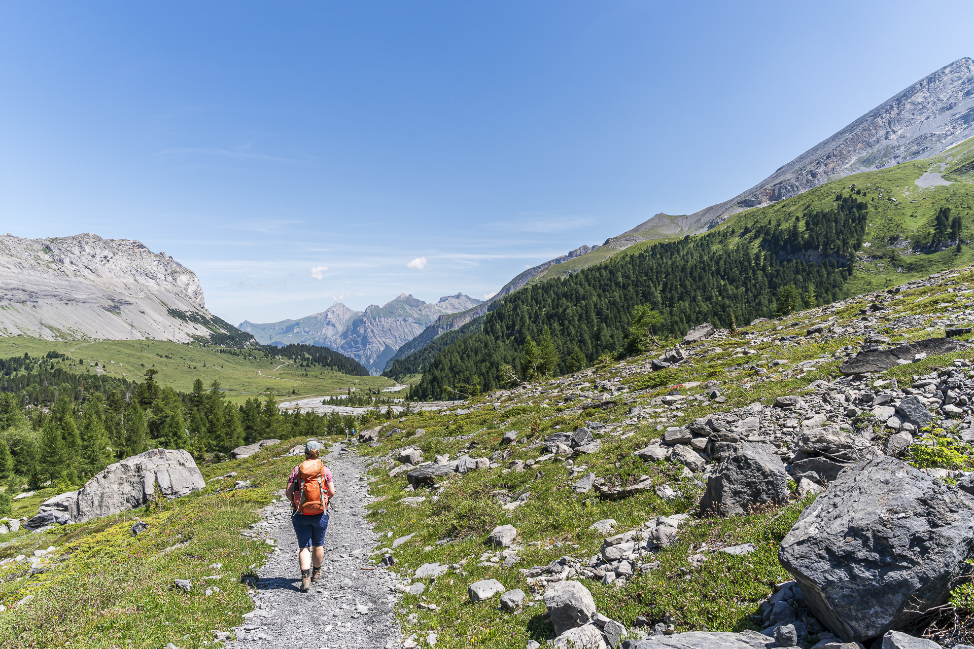
The trail leads us past Staldeweid and Ammerte, steadily ascending through the Ammertentäli. A really lovely stretch that repeatedly offers great views in every direction.
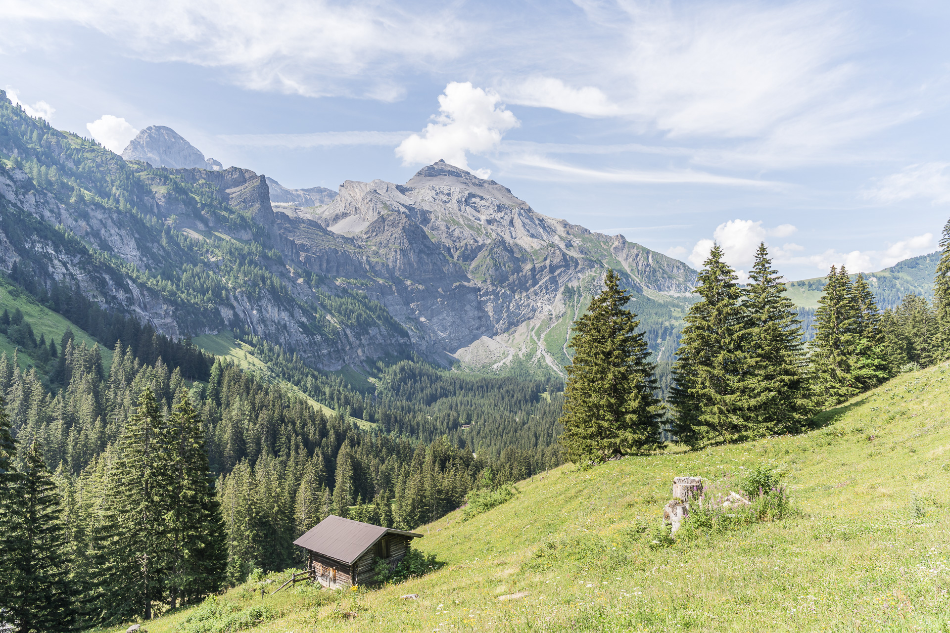
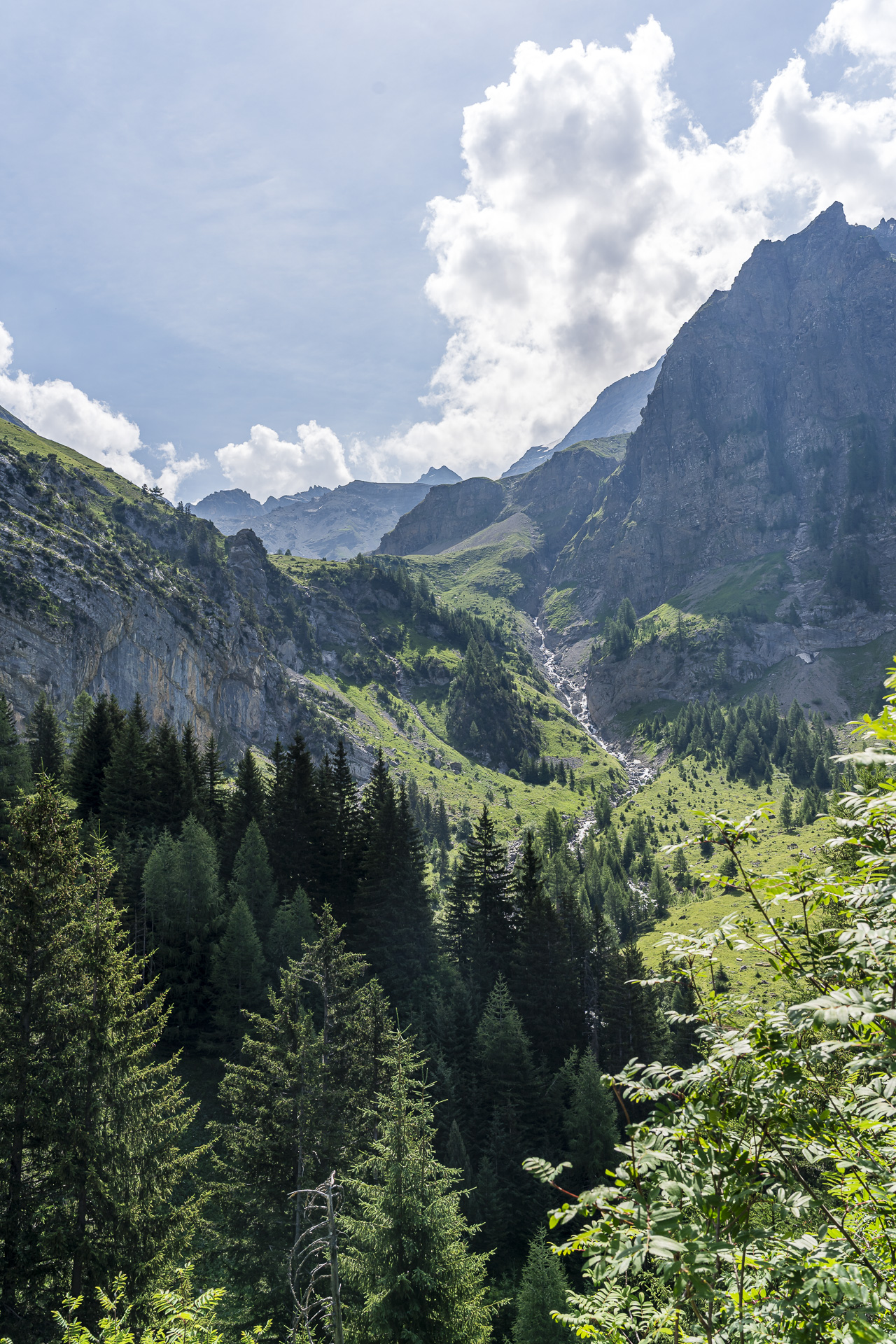
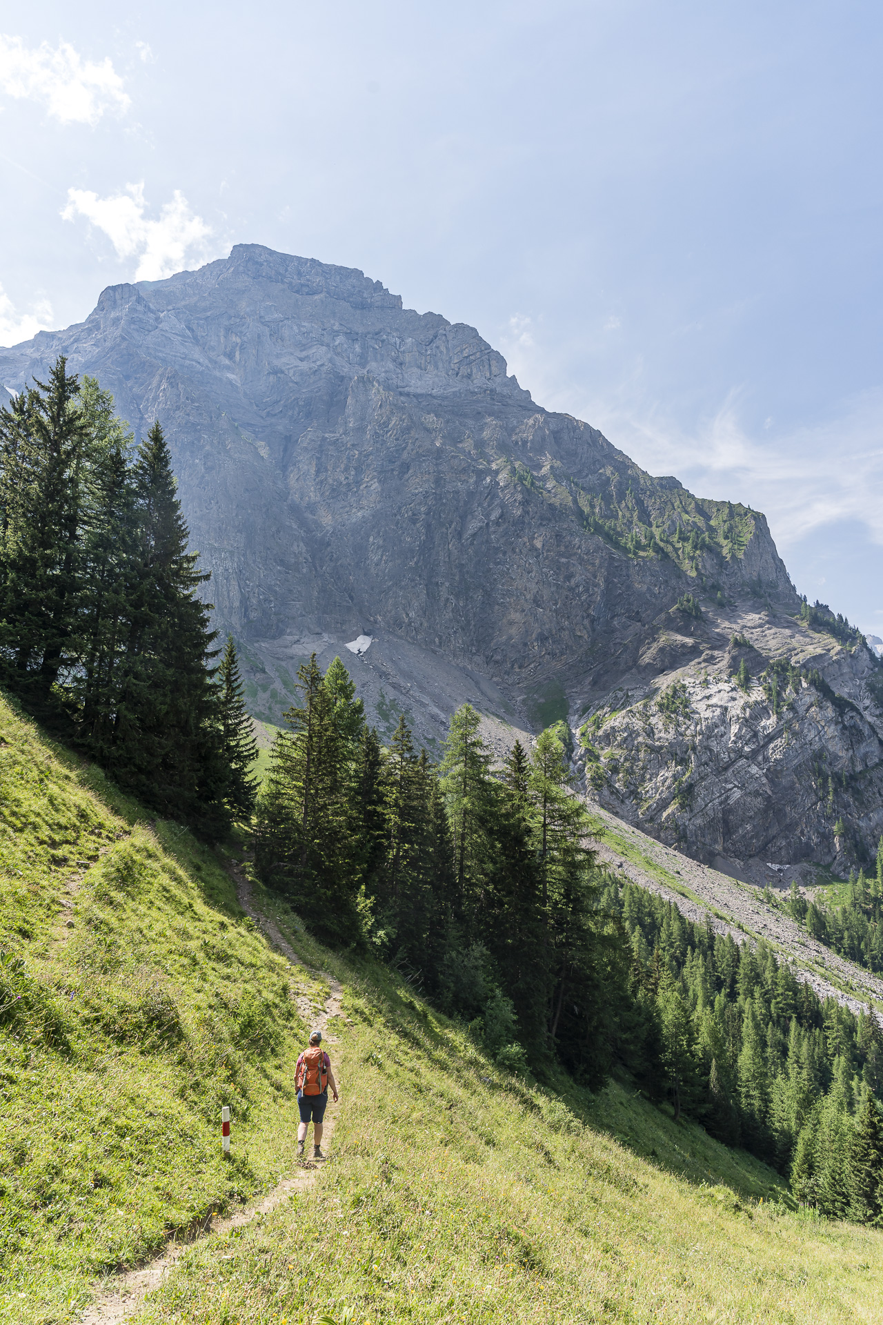
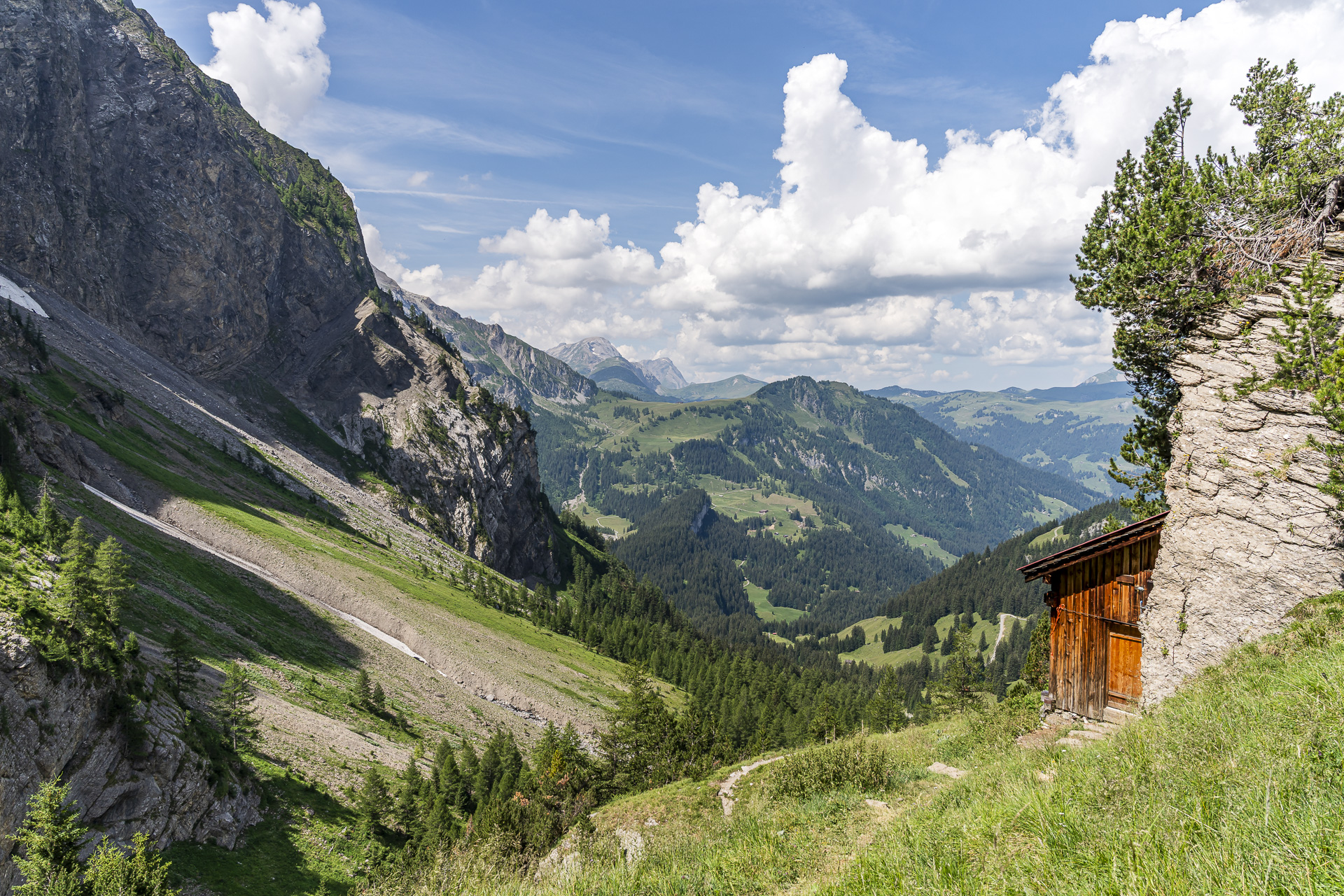
Shortly before the Ammertenhütte it gets steep for the first time: the path zigzags up to a small private shelter built right against a rock face, which is unstaffed. Fortunately it eases off again after that, and on the way over the Ammerten Schafberg even my pulse can calm down a little.
Steep and rocky up to the Ammertenpass
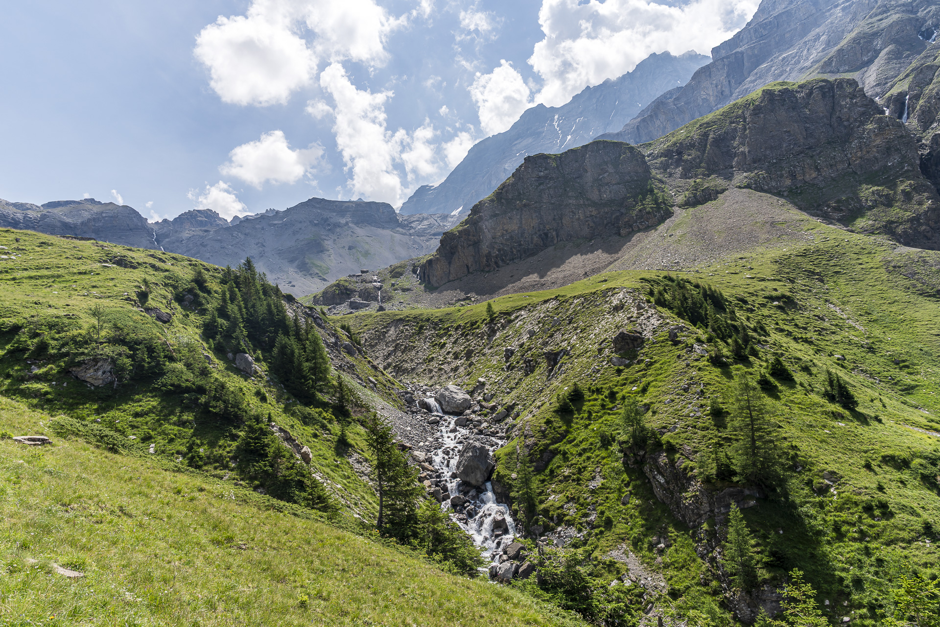
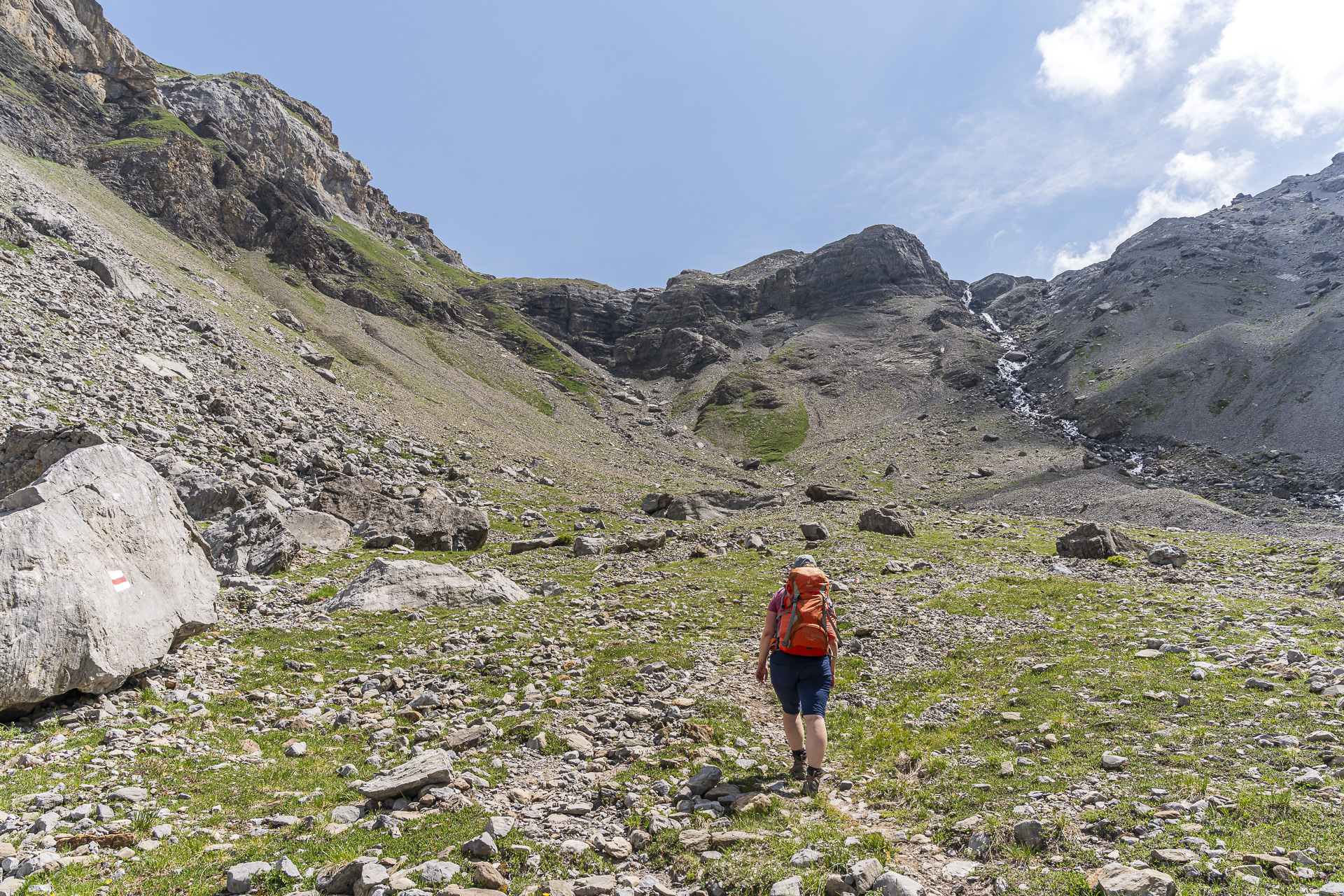
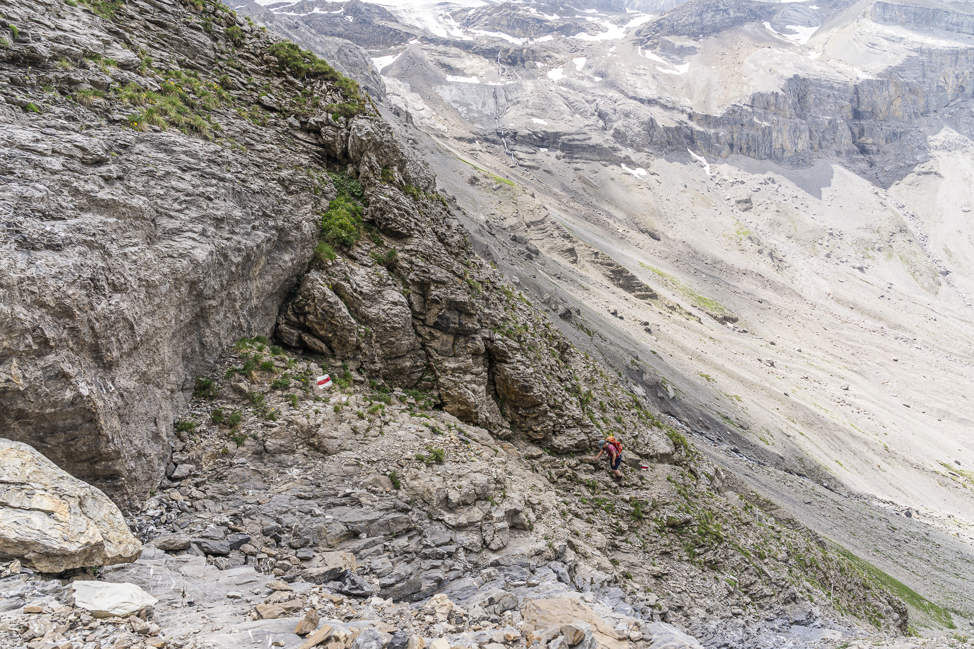
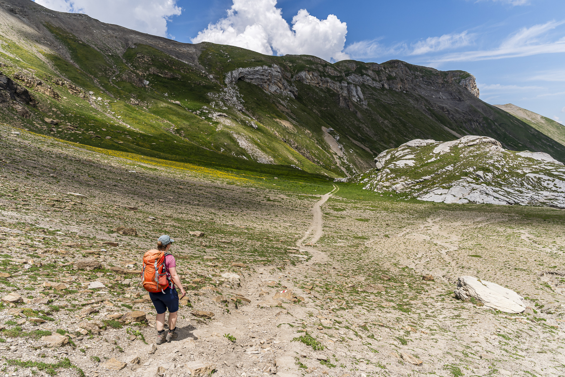
By now we already have over 1’000 meters of elevation in our legs. At the sight of the steep rock walls at the head of the valley it quickly becomes clear that the last roughly 450 vertical meters won’t be easy. The trail leads us straight into scree and rocky terrain and gets narrower and steeper with every step. In places you even need to use your hands to gain a bit more security on the steep sections.
By then I’m certainly glad I wisely chose to tackle the Ammertenpass in this direction. The ascent the other way might have been a bit less strenuous, but the steep, partially slippery descent with all the loose stones would probably have had me sweating in a different way.
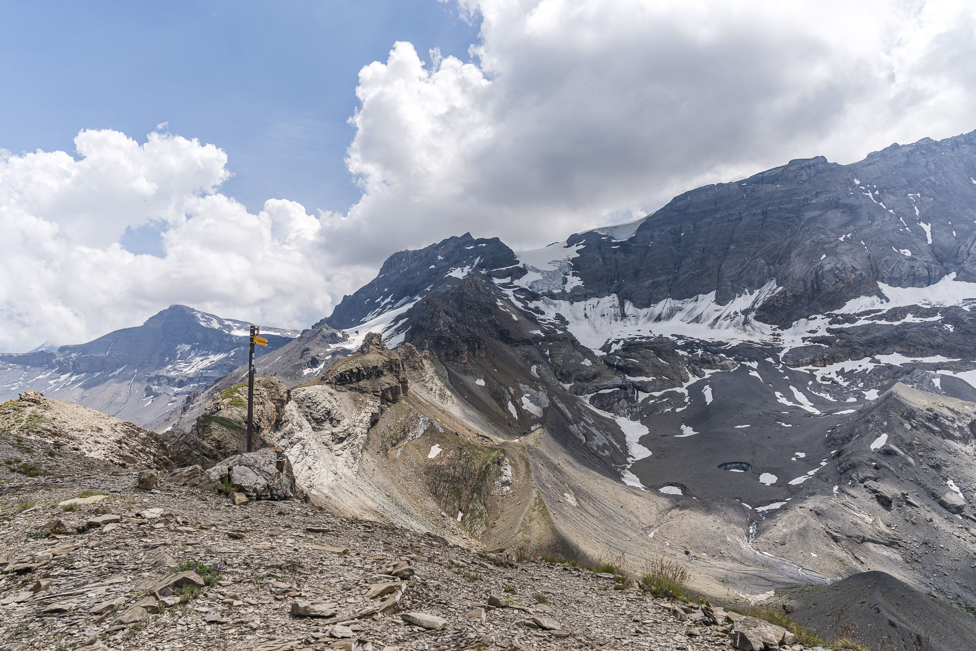
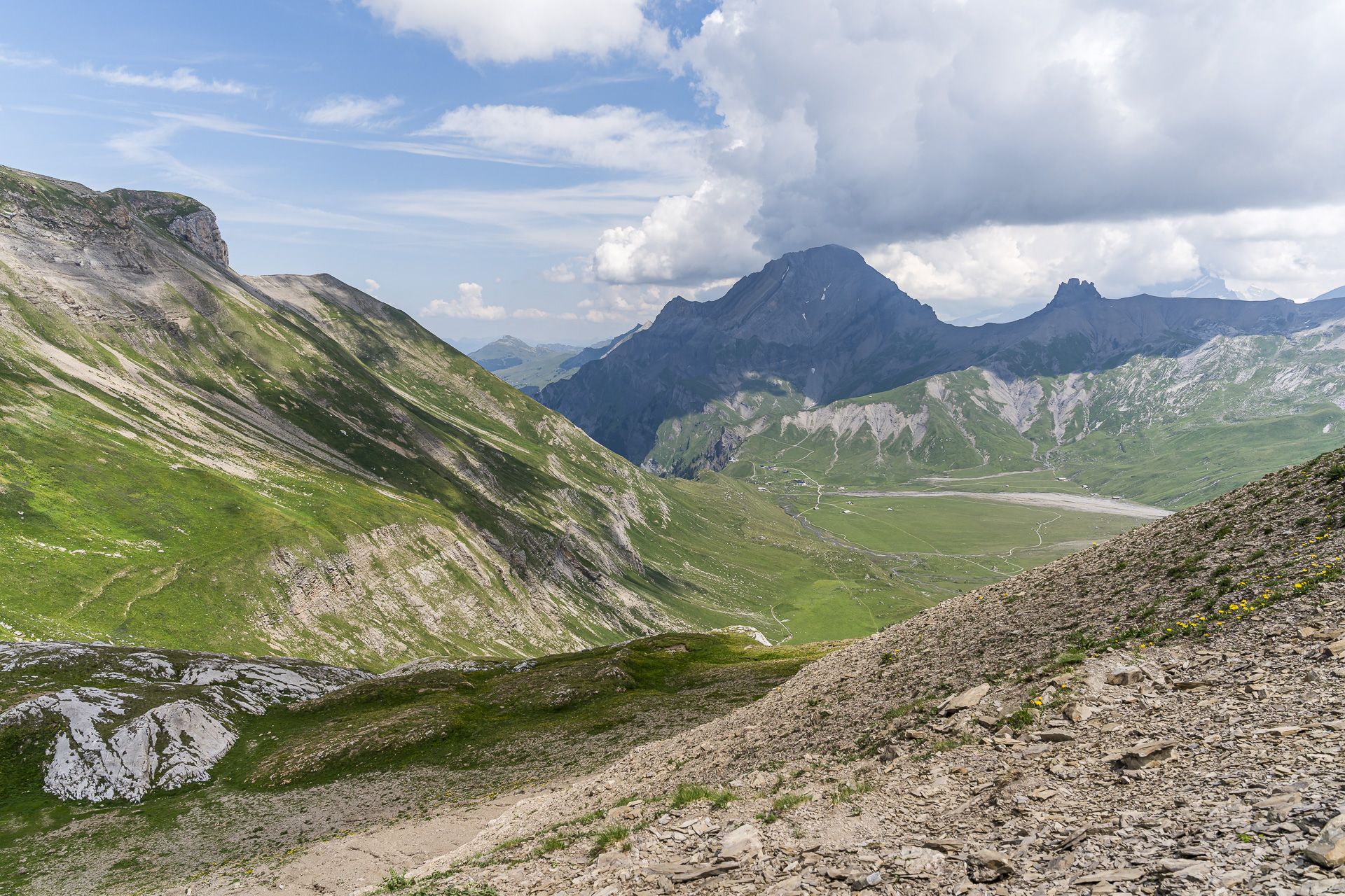
After just over four hours and thus pretty much exactly within the signposted hiking time, the longed-for signpost finally appears on the pass summit. From here we are on familiar ground and our day’s destination is already in sight. In summer 2022 we passed here on our hike from the Engstligenalp over the Ammertenspitz to the Hahnenmoospass once before.
Key facts of the hike Lenk, Simmenfälle – Ammertenpass – Engstligenalp
The following hiking map shows the course of the hike from Lenk via the Ammertenpass to the Engstligenalp. The route is signposted as a yellow marked hiking trail (T2) up to the Stalde junction. Afterwards it follows a white-red-white marked mountain trail (T2/T3). The last almost two kilometers from the high plateau Ammeren / Schafberg up to the Ammertenpass are steep and locally also downhill. Here you should be sure-footed and not afraid of heights.
| Starting point | Bus stop Lenk, Simmenfälle (1,105 m a.s.l.) |
| Accessibility | accessible by public transport |
| Length | 11.8 kilometers |
| Elevation | ↗ 1,436 m ↘ 589 m |
| Duration | 5:30 h |
| Destination | Engstligenalp (1,960 m a.s.l.) |
| Refreshment options | – (Pack a picnic!) |
Overnight on the Engstligenalp
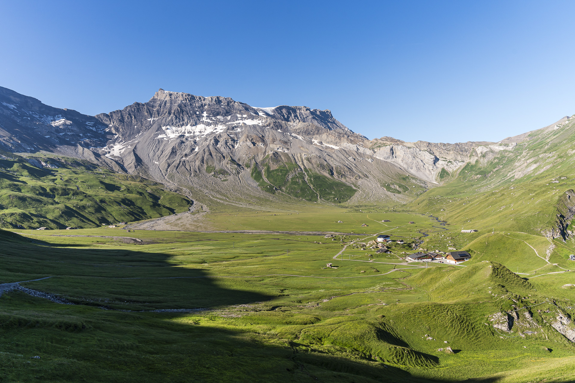
On the Engstligenalp we stay at the mountain hotel. Various room categories with different levels of comfort are available, with the option of a shower and toilet in the room or on the floor. Dinner and breakfast are included in the room rate. We are particularly pleasantly surprised by the dinner: you can compose your own 3-course meal from the à la carte menu.
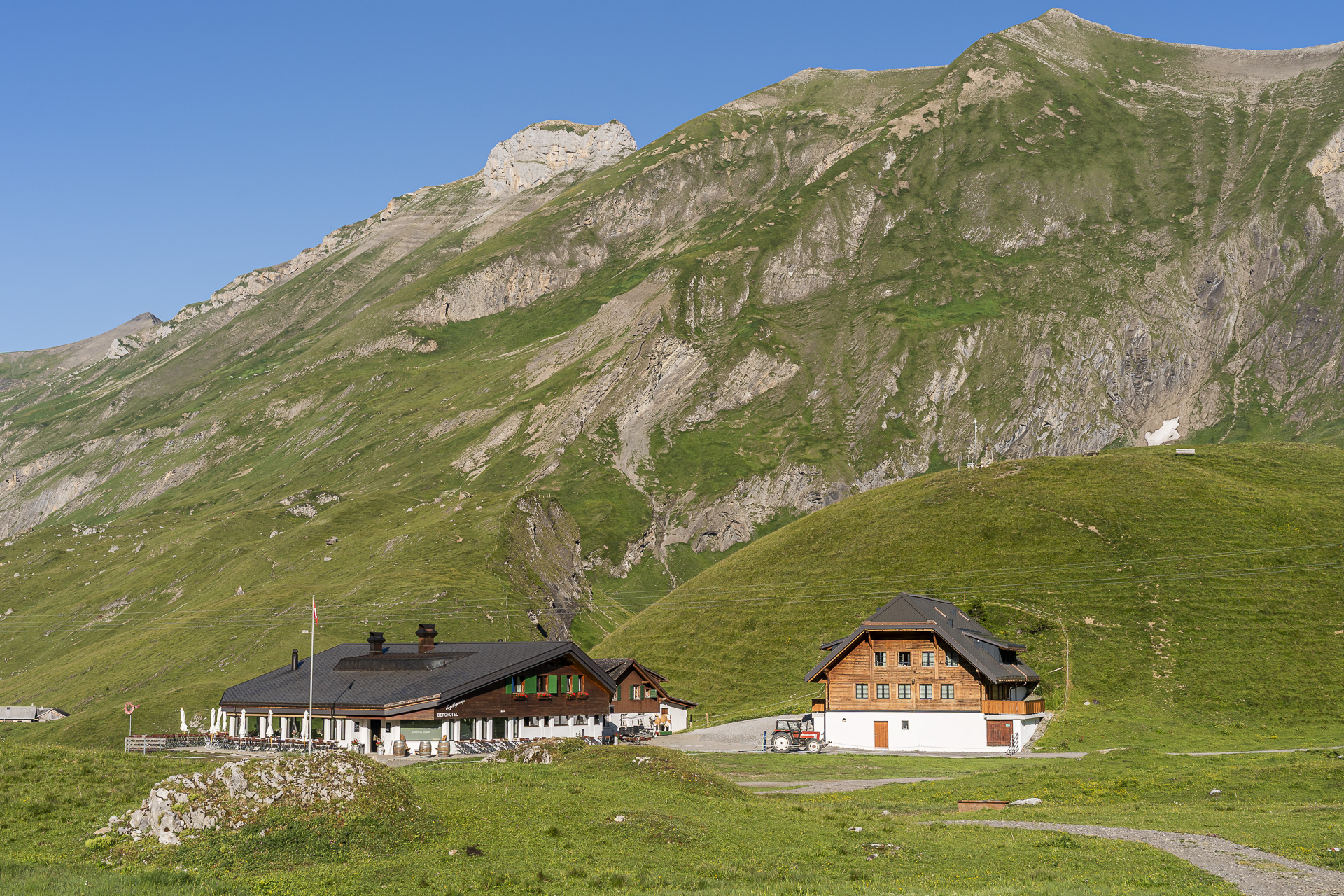
Further information:Berghotel Engstligenalp | Room rates depending on weekday/season from approx. 220 CHF incl. half board.
Day 2 of the hike: from the Engstligenalp via the Engstligengrat to Sunnbüel
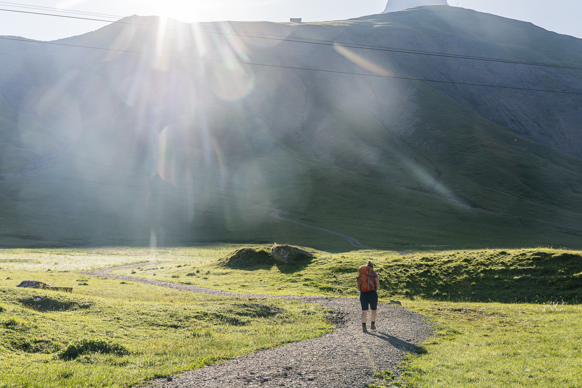
The next morning we’re the first at the breakfast buffet. Although there are somewhat fewer meters of elevation today, it’s expected to be another hot summer day. With our early start we want to cover at least the first 150 meters of elevation up to the Ärtelegrat in the pleasant cool of the still-shaded north-facing slopes.
From the Engstligenalp up to the Tschingellochtighore
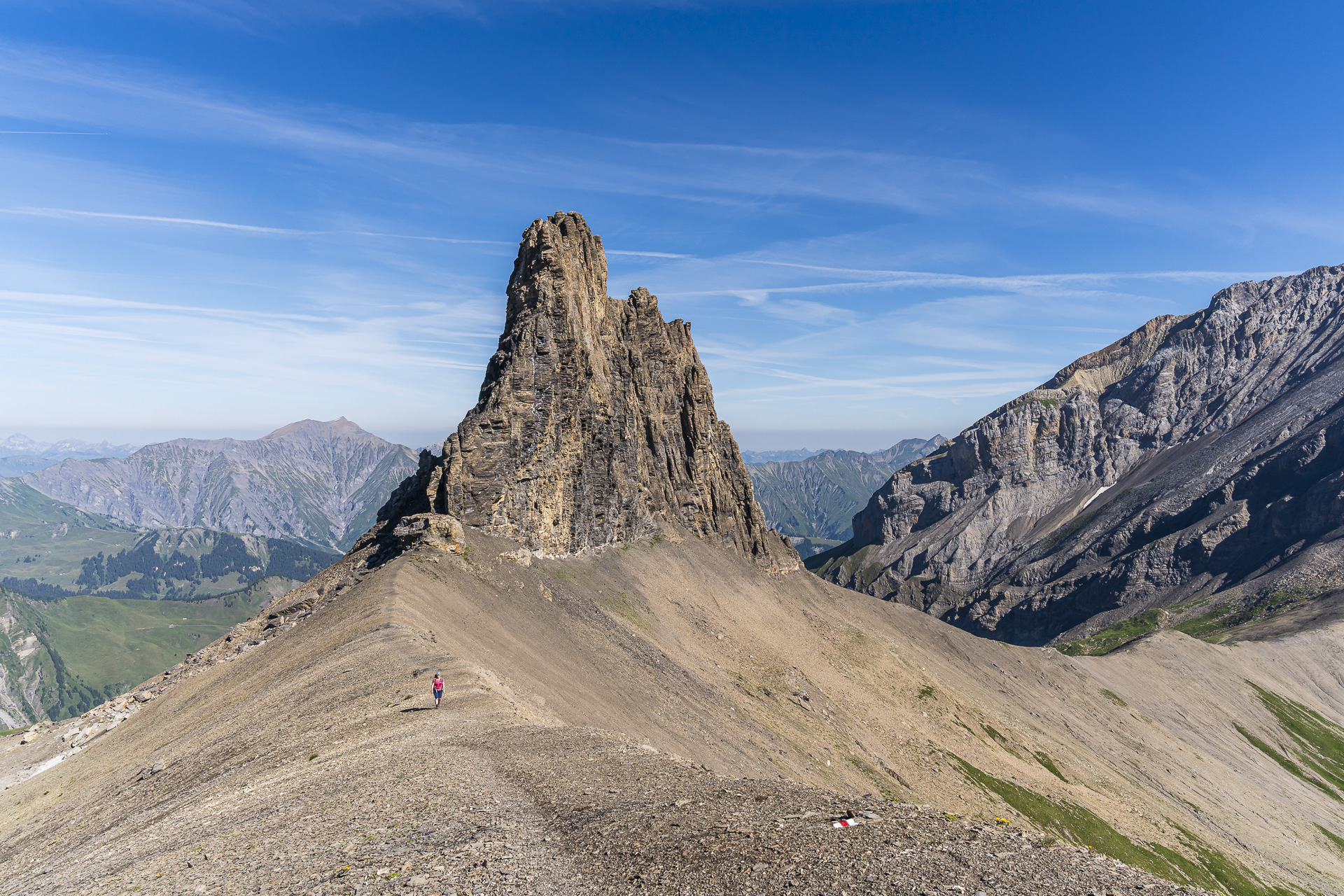
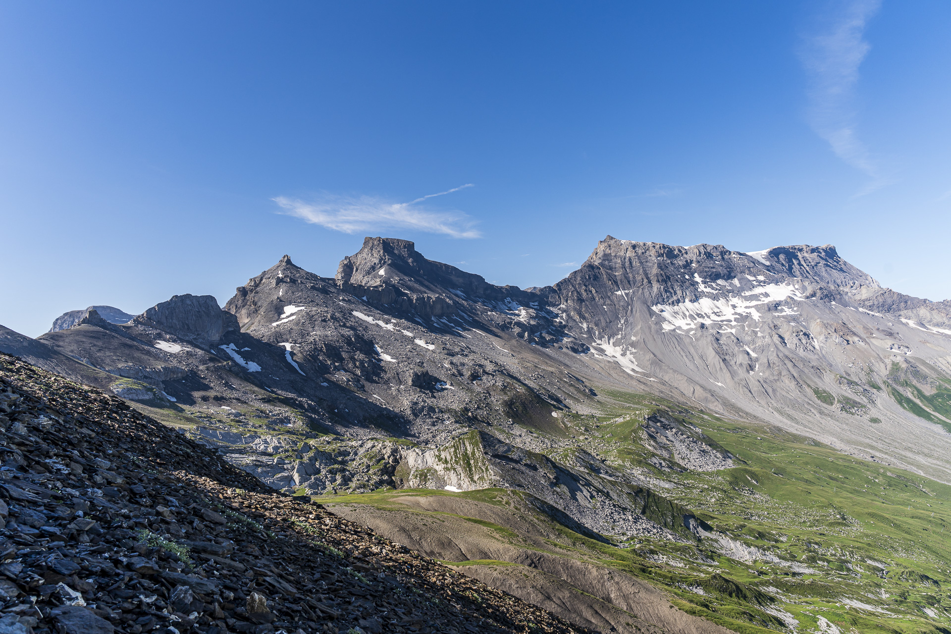
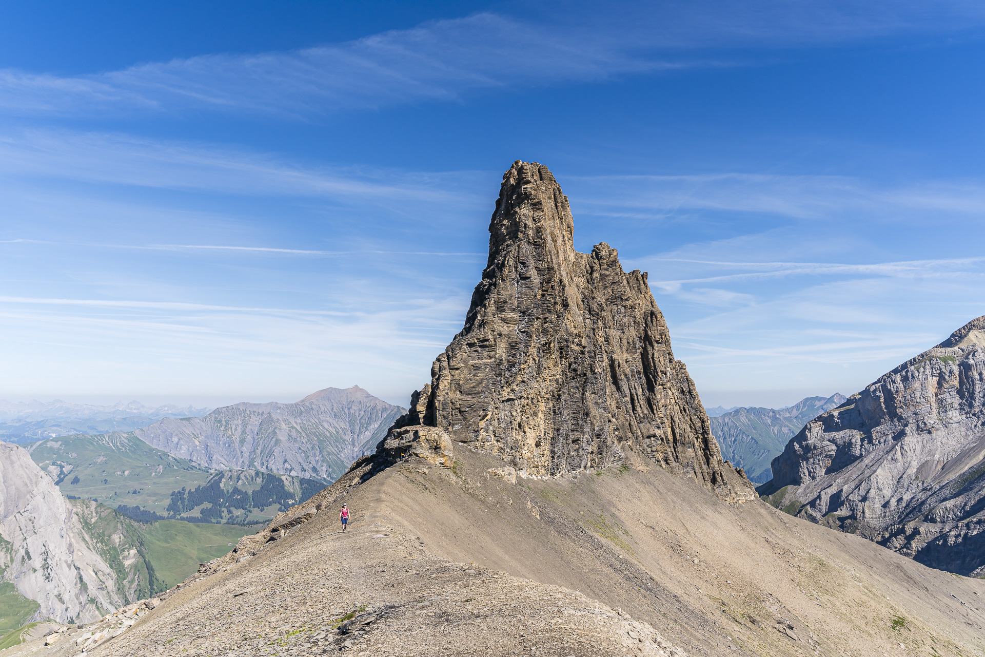
And this plan succeeds. Shortly before 9:30 a.m. we reach the scenic ridge trail that will lead us to the striking limestone tower of the Tschingellochtighorn. We’ve actually walked along here before. Back then the gigantic mountain panorama was, however, obscured by fog, as the photos in this postimpressively show. Today the contrast couldn’t be greater: excellent visibility and a mountain panorama at its finest.
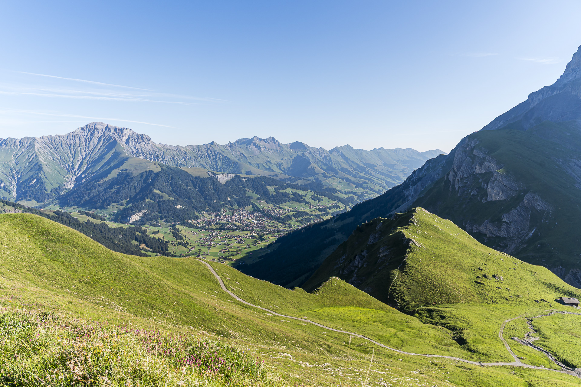
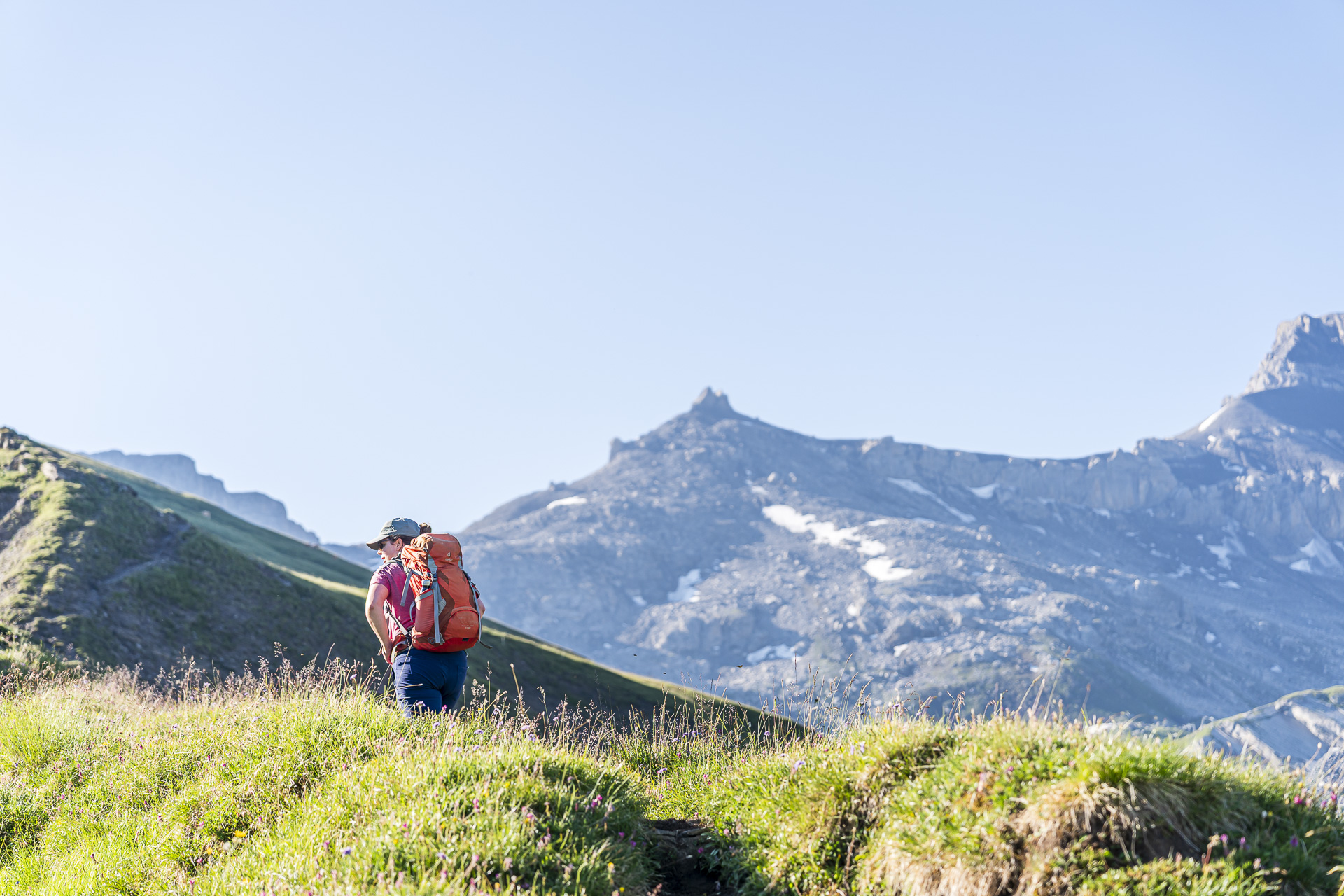
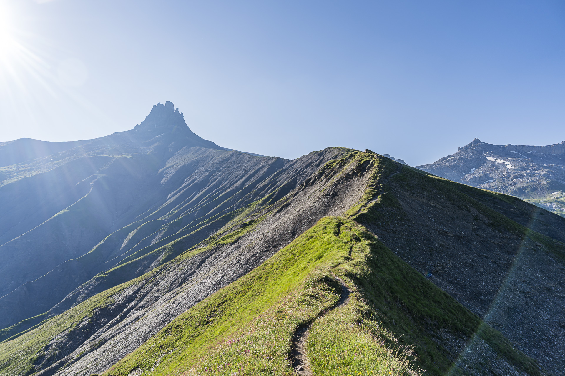
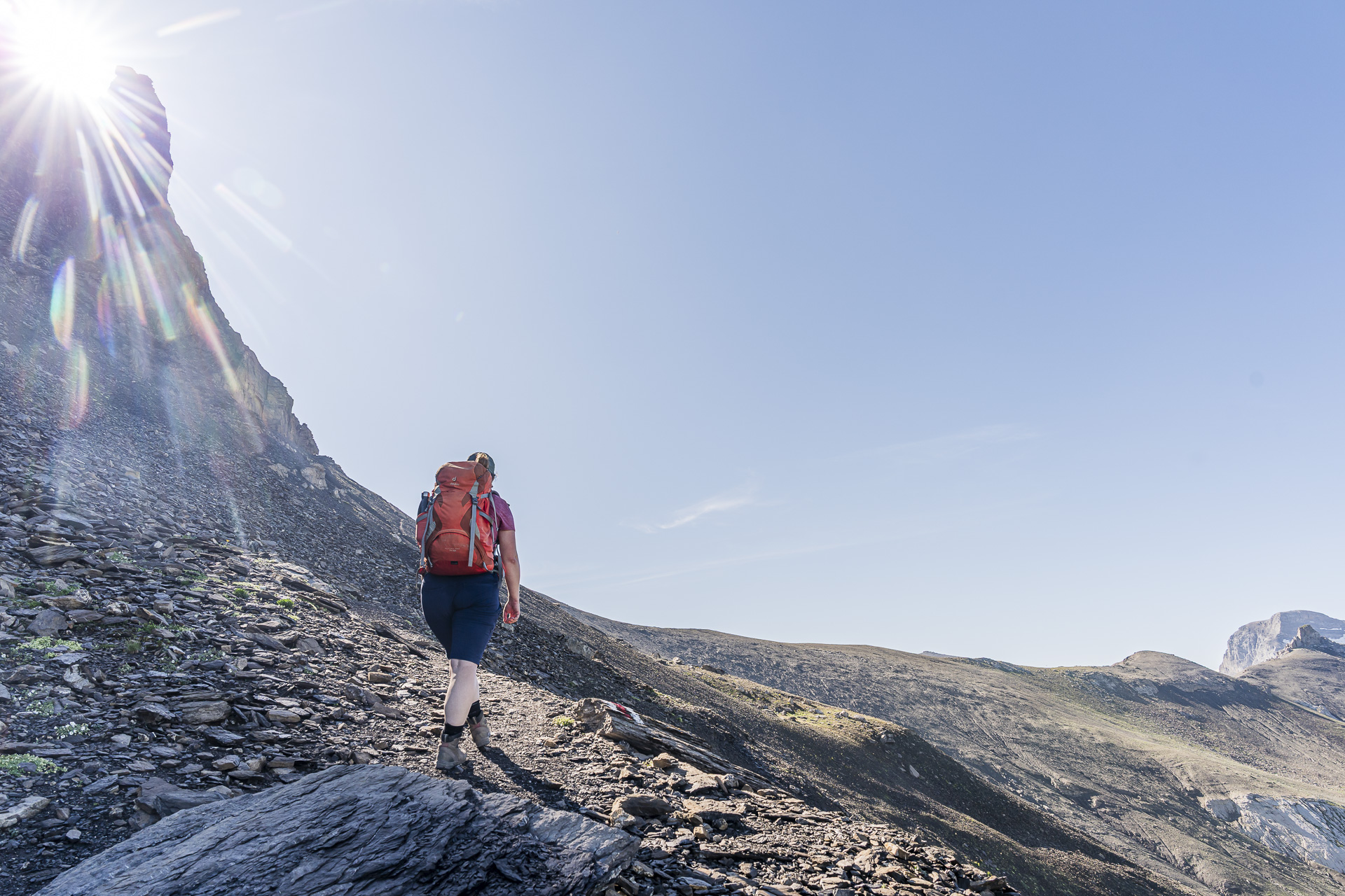
We hike along the ridge toward the Tschingellochtighorn for about 45 minutes. From the junction at trail marker 2430 it initially gets really steep for a short stretch. Afterwards, directly beneath the limestone cliffs, a few rather steep downhill sections await us. Somehow I didn’t remember that so clearly from our earlier tour. But sometimes fog apparently has its advantages…
Spectacular views along the Engstligengrat
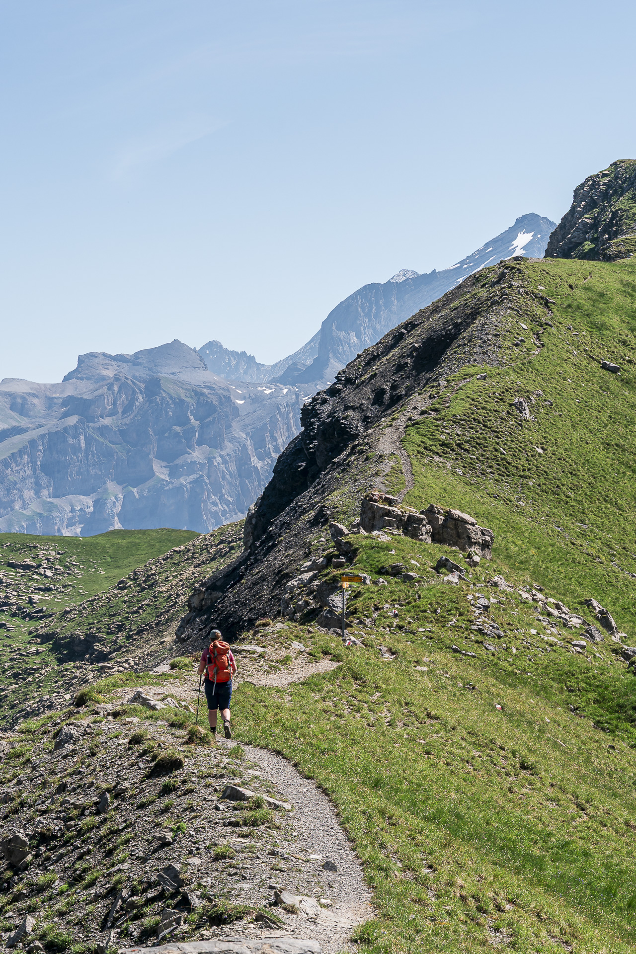
With slightly trembling legs we reach the southeastern end of the Tschingellochtighorn and see before us the roughly 600-meter-long passage over the legendary Engstligengrat. The panorama — I’m slowly running out of superlatives — is gigantic. Between Stäghore and Rote Totz the distinctive silhouette of the Weisshorn even appears in the distance. Wonderful!
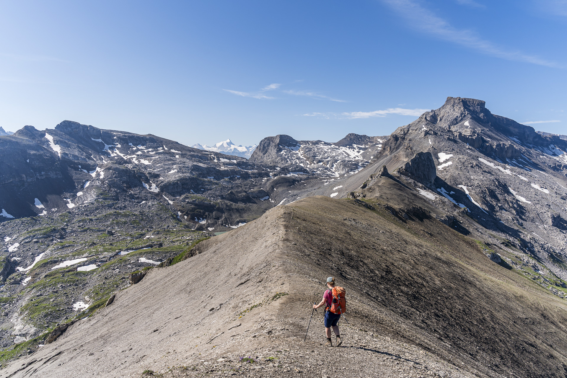
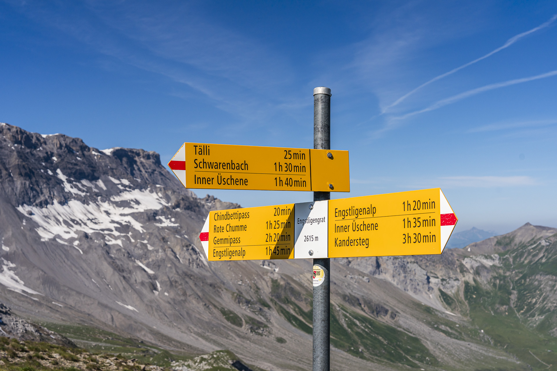
Last time we followed the ridge further to the Chindbettipass and from there descended back to the Engstligenalp — a popular and absolutely recommendable circular hike. This time we follow the sign about halfway along, heading downhill toward Tälli.
Across the Schwarzgrätli to Sunnbüel
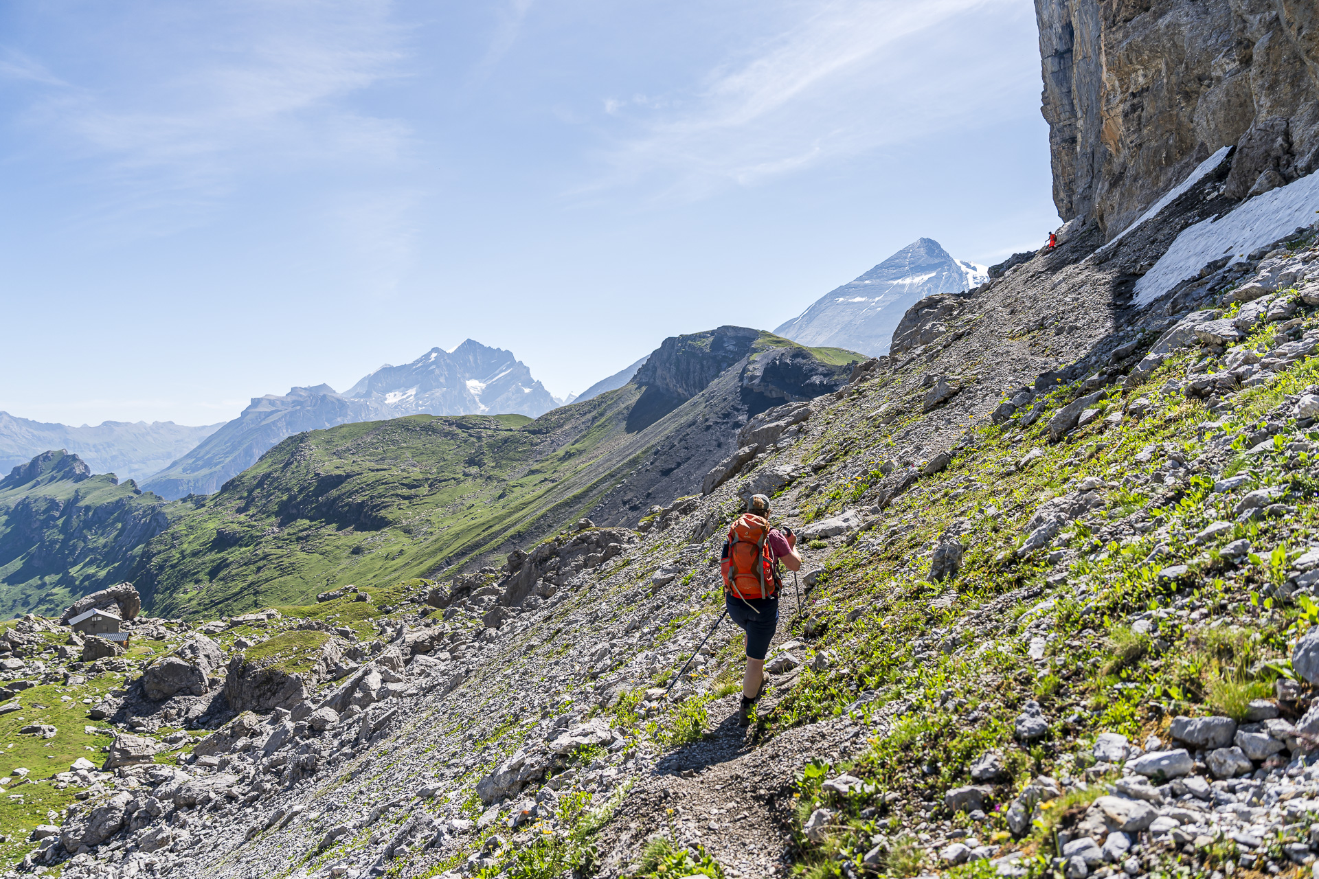
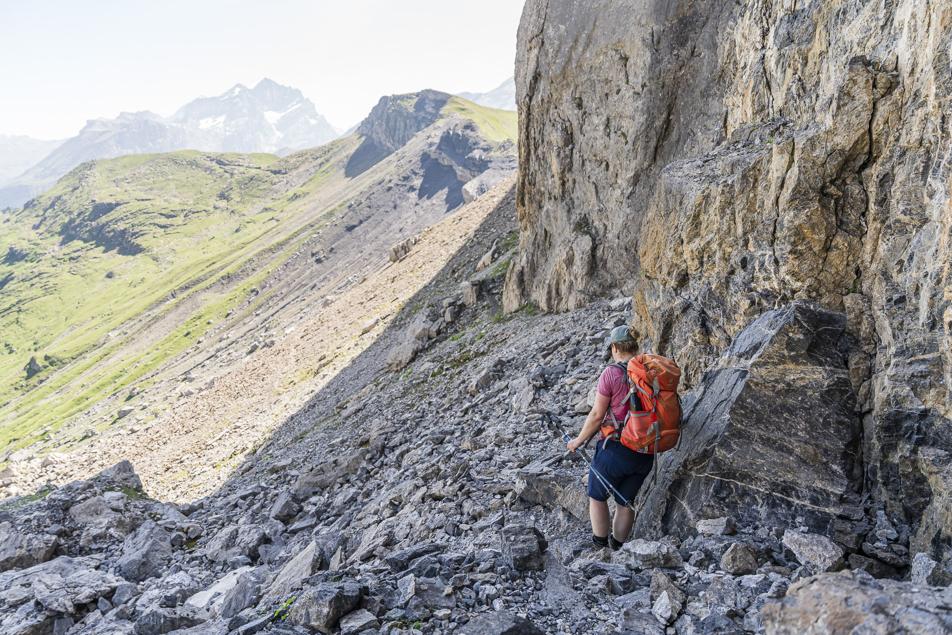
Just to be safe I unpacked my trekking poles and in the following half hour I’m very glad I did. Directly after the ridge the narrow path winds rather steeply down through scree terrain with many loose stones. Such trail sections always give me some trouble.
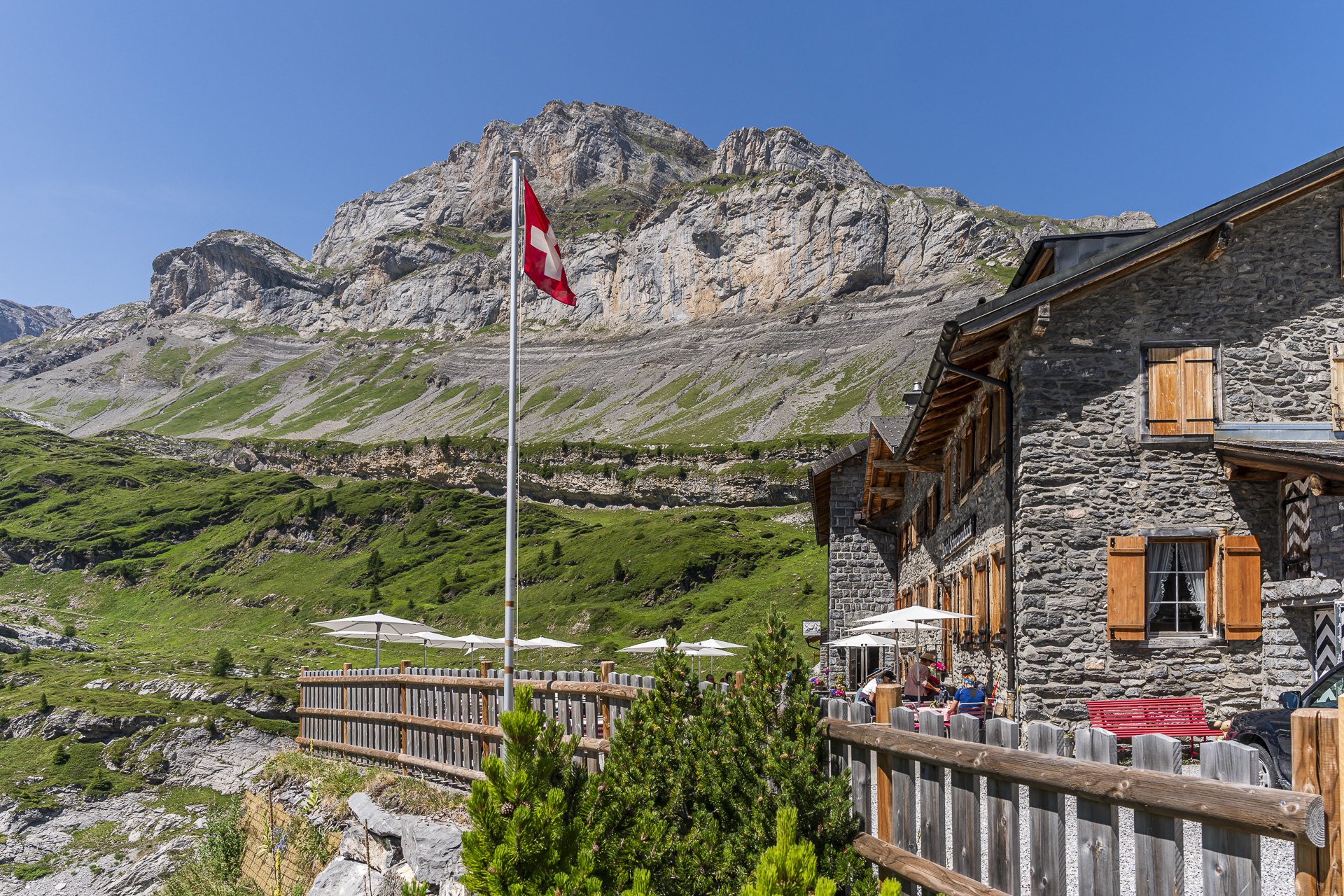
About 100 vertical meters lower it becomes more enjoyable again. The hiking trail now leads over alpine pastures and past larger and smaller rock blocks, before continuing directly beneath a steeply falling rock wall toward the Schwarzgrätli. In this section the routing is a bit confusing, as various variants are marked and it’s not always clearly apparent to us which path is the right one. We consistently keep all the way to the right directly beneath the rock wall and get through fine. Around 150 meters before the Schwarzgrätli another exposed passage follows, which is, however, well secured with chains.
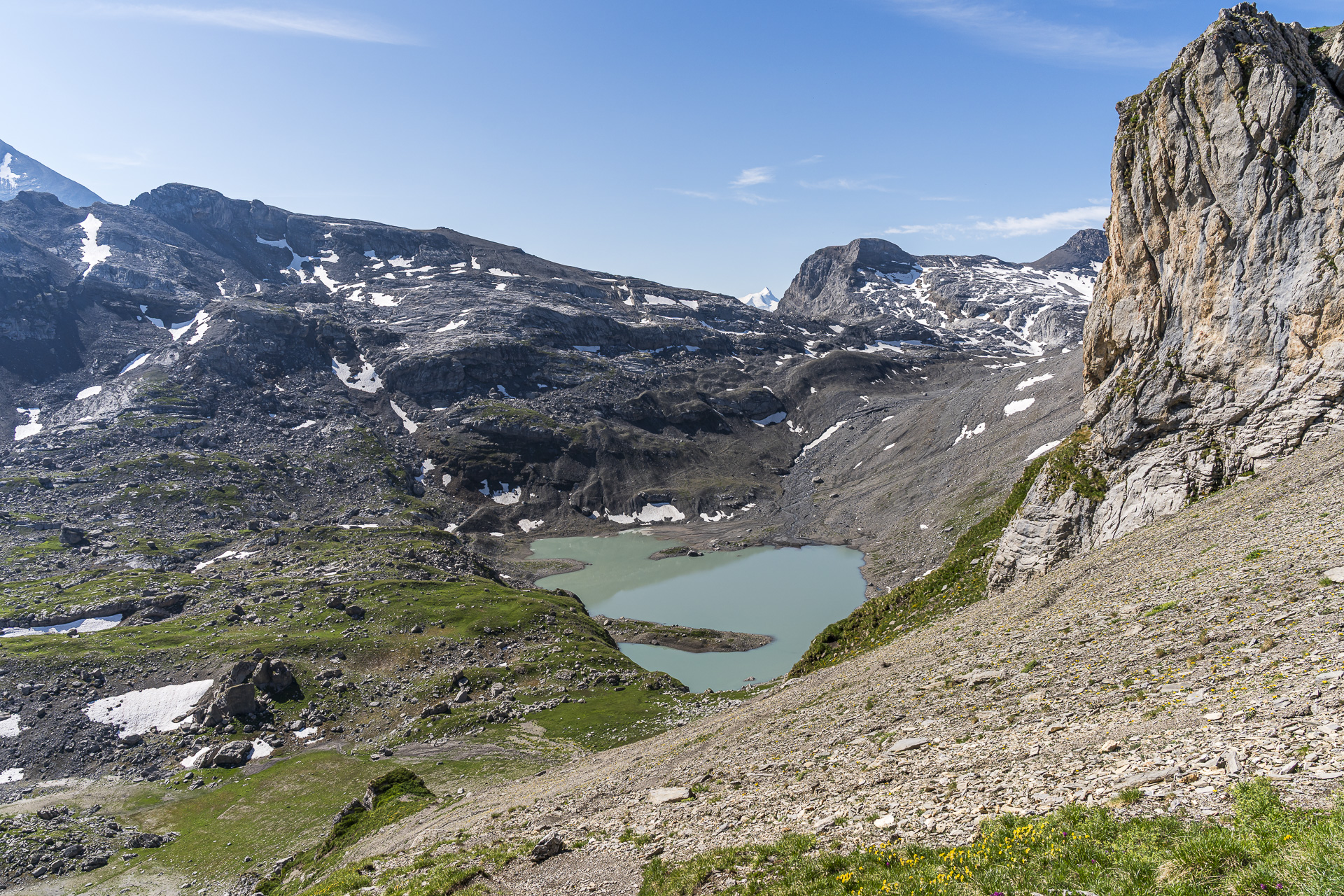
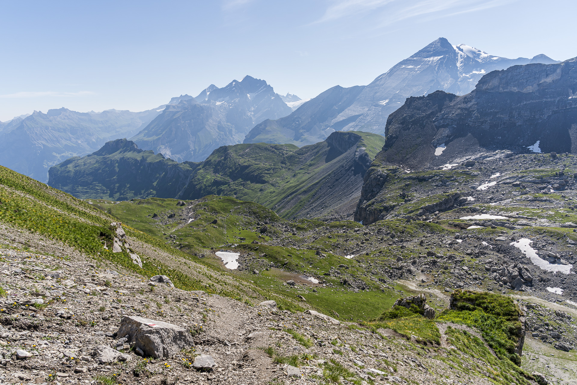
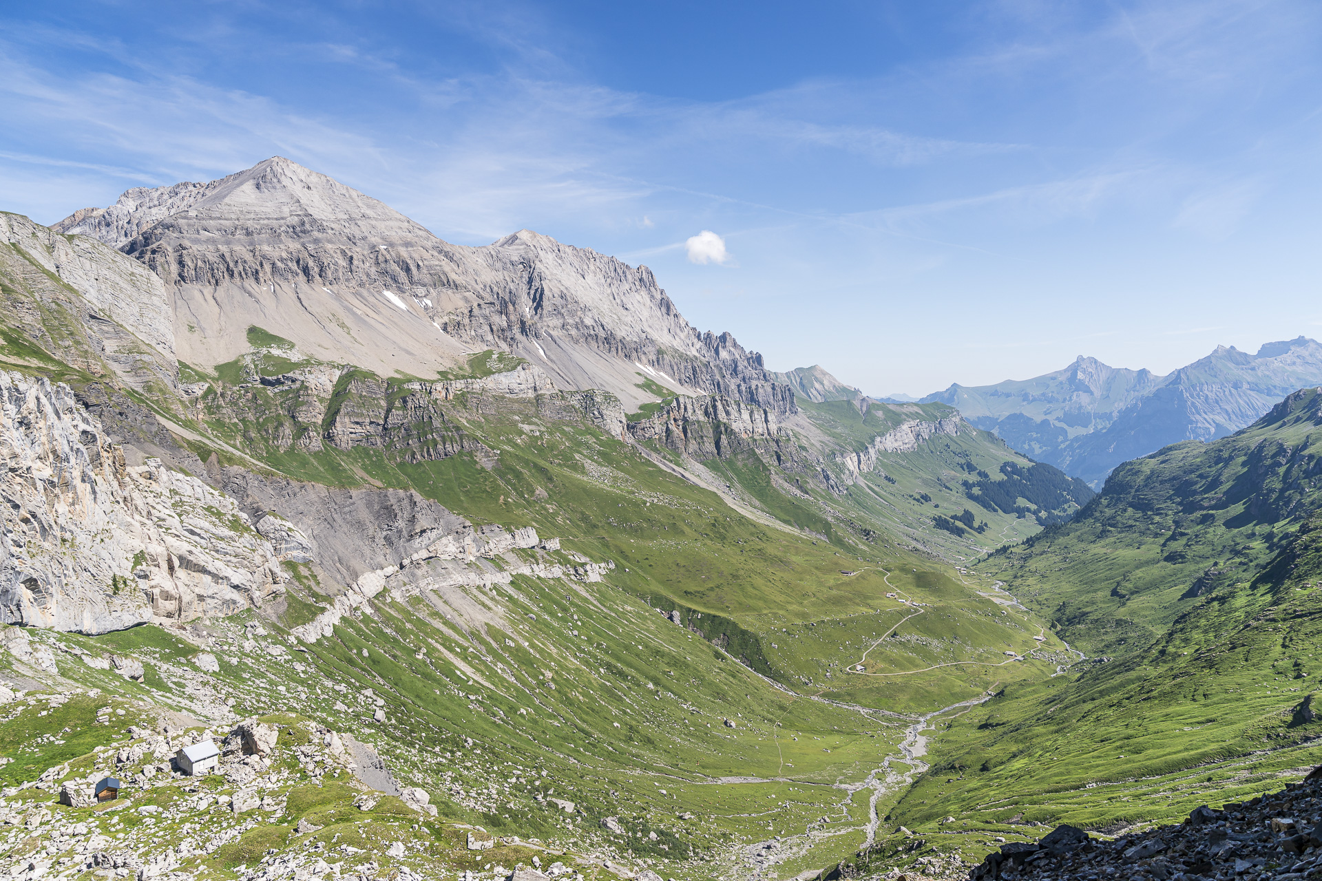
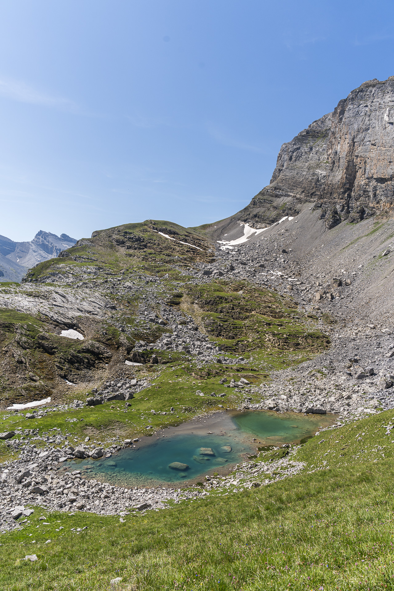
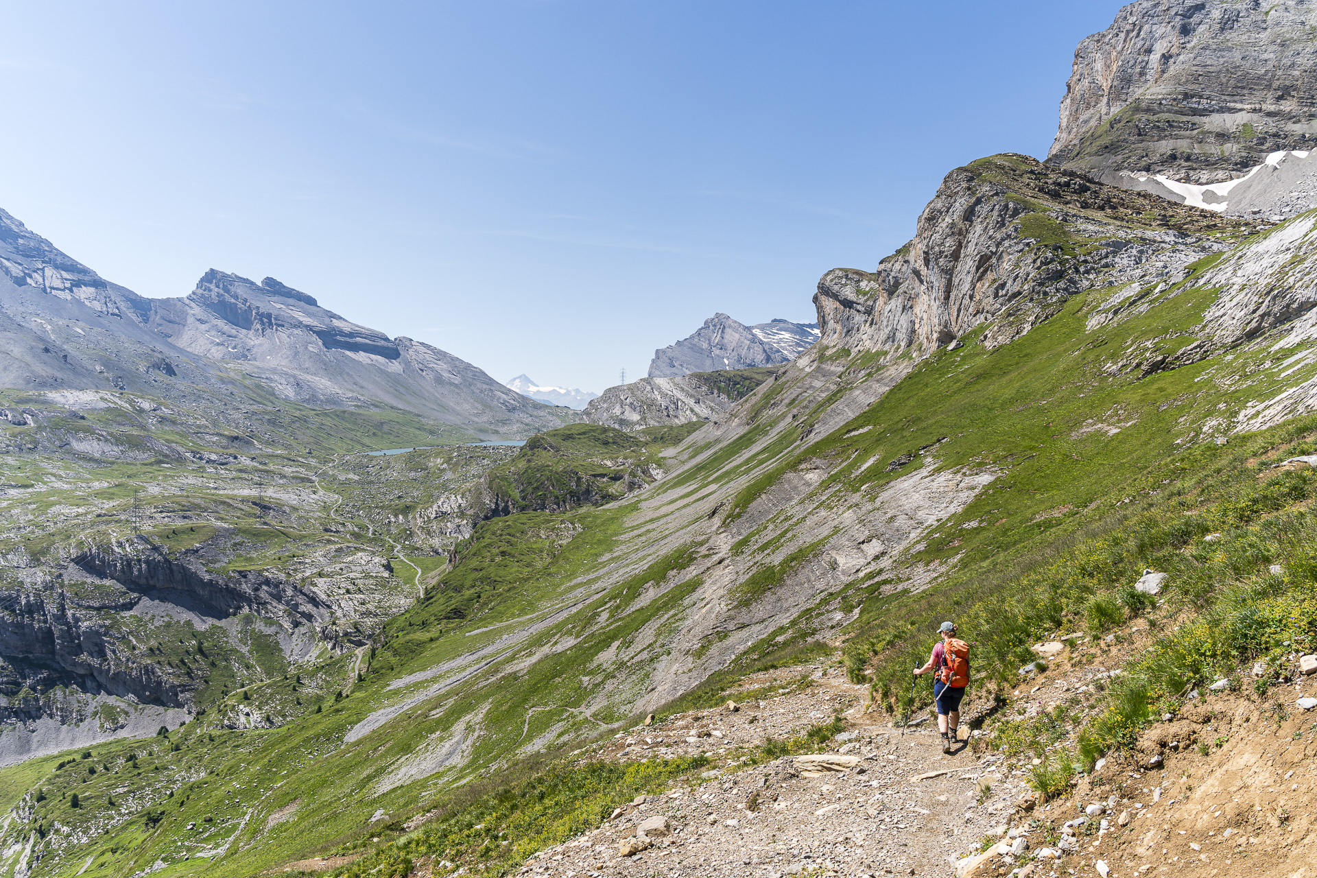
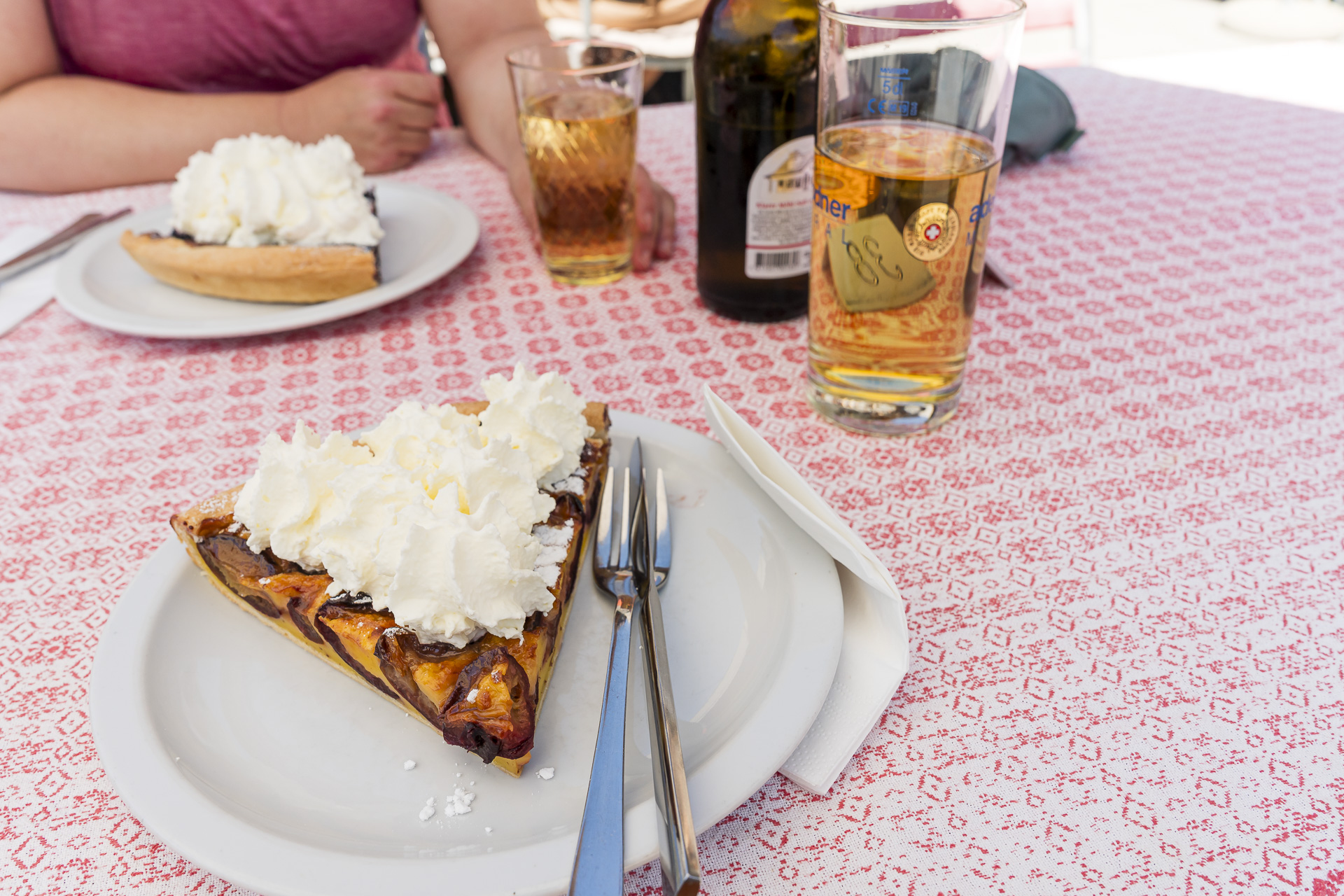
After that we head down on a well-developed path with views toward the Daubensee and Gemmipass to the Berghotel Schwarenbach. There we treat ourselves to a well-deserved slice of cake before tackling the last four kilometers to the Sunnbüel mountain station.
Hike details Engstligenalp – Engstligengrat – Schwarzgrätli – Sunnbüel
The following hiking map shows the course of the hike from the Engstligenalp via Tschingellochtighorn, Angstligengrat and Schwarzgrätli to Sunnbüel. The route is signposted up to the Berghotel Schwarzenbach as a white-red-white marked mountain hiking trail (T3). The last four kilometers from the Berghotel Schwarenbach to the Sunnbüel mountain station run along a yellow-marked hiking trail (T2). Along the way you’ll encounter some exposed sections that require sure-footedness and a head for heights. I also recommend bringing poles.
| Starting point | Engstligenalp (1’960 m above sea level) |
| Accessibility | accessible by public transportation |
| Length | 11.6 kilometers |
| Elevation | ↗ 920 m ↘ 939 m |
| Duration | 4:50 h |
| Destination | Kandersteg, Sunnbüel (1,930 m a.s.l.) |
| Dining option | Berghotel Schwarenbach |
Practical tips for your 2-day hike from Lenk to Kandersteg
- Getting there and back:The starting point of the hike is the bus stop «Lenk, Simmenfälle». The destination is at the Sunnbüel mountain station above Kandersteg. If you don’t want to miss the “start coffee” at the beginning of the hike, note that the Hotel Restaurant Simmenfälle directly at the bus stop does not regularly serve guests until 10:00 a.m.
- Requirements:On the first day, with over 1,000 meters of ascent, good fitness is especially required. The final ascent to the Ammerten Pass also leads steeply through scree and rocky terrain. On the second day, around the Tschingellochtighorn, the Engstligengrat and the Schwarzgrätli, you will encounter exposed sections that require sure-footedness and a head for heights. Hiking poles are particularly helpful for the steep descents over loose scree.
- Best time of year:The hike reaches altitudes of over 2,500 meters above sea level. Depending on snow conditions, the tour is recommended from late June to mid-October. Also note the operating times of the mountain railways: The Engstligenalp cable car is in operation from June 13 to October 18, 2026. The Sunnbüel cable car operates in regular summer service from June 27 to September 13 and then in autumn service until November 1. Before the hike, check both the current trail conditions and the operating times of both cable cars.
- Food:Between the Simmenfälle and the Engstligenalp there are no places to eat along the way. Accordingly, you should take enough provisions and water for the first stage. On the second day, the Berghotel Schwarenbach is perfect for a break before the last kilometers toward Sunnbüel.


Leave a Reply