

Schwegealp–Kronberg Trail: tough snowshoe tour in the Appenzellerland
A varied route from the Schwägalp over white-sugared alpine meadows and through wintry fir forests up to the popular eastern Swiss excursion destination Kronberg; The Schwägalp – Kronberg Trail contains all the components of a successful snowshoe hike. On our half-day excursion to the Appenzell region, only the magnificent panorama was elegantly restrained – but there was still a lot to see.
From the Schwägalp to the Kronberg
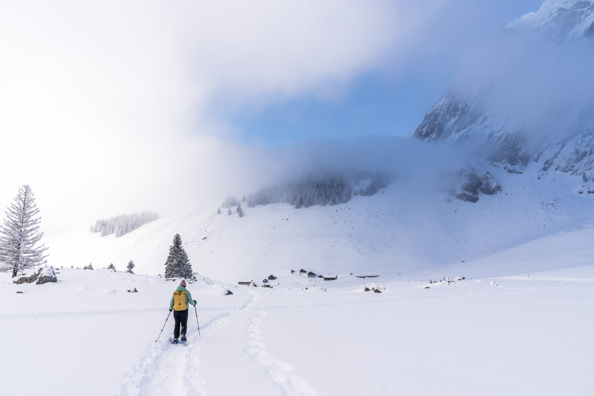
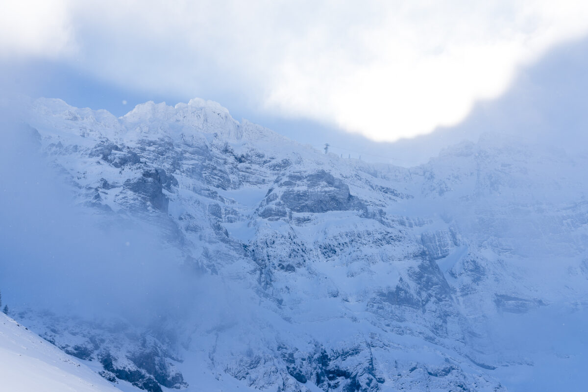
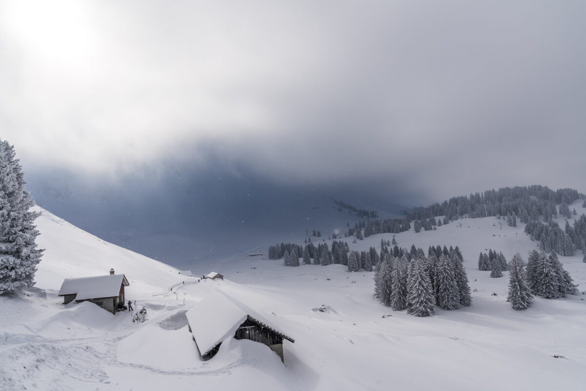
The starting point of the Schwägalp Kronberg Trail is located in the car park behind the valley station of the Säntis suspension railway. When we arrive, the thermometer shows a frosty minus 12 degrees Celsius – even though it is almost noon. For once, we didn’t start too early. According to cloud radar, the fog layer should completely dissipate by early afternoon at the latest. And indeed, along the mighty Säntis wall, teasing “blue holes” can be seen here and there.
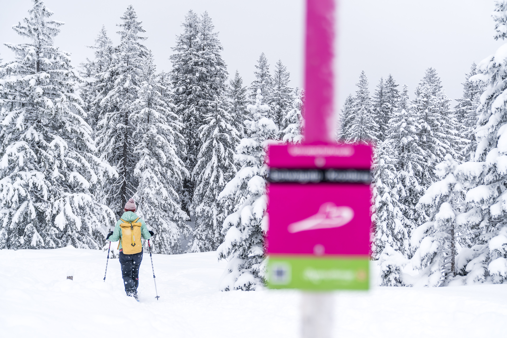
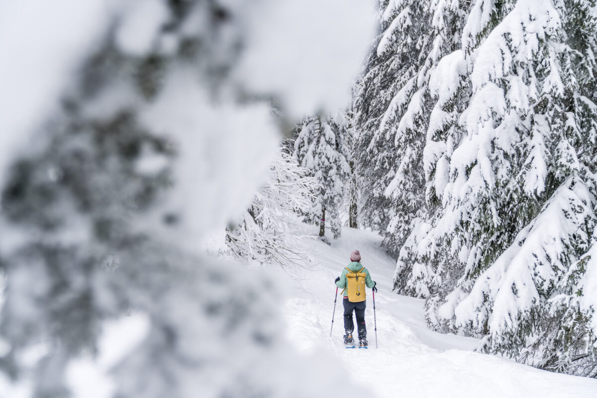
We put on our snowshoes and follow the signposted path in the direction of the Chammhaldenhütte. In the first section, the path crosses the charming plateau of the Schwägalp. Parallel to this, there is also a groomed winter hiking trail, which unites with the snowshoe trail after “Siebenhütten” and leads almost 100 metres in altitude up to the Chammhaldenhütte.
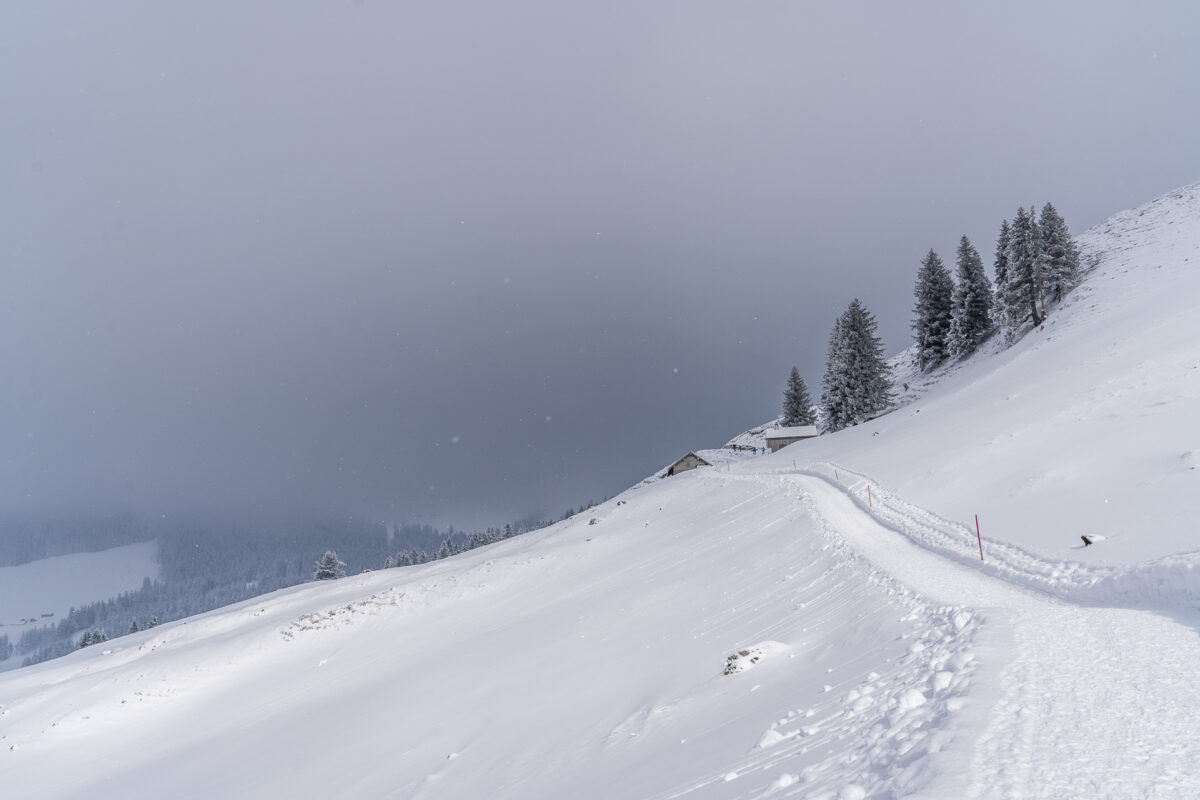
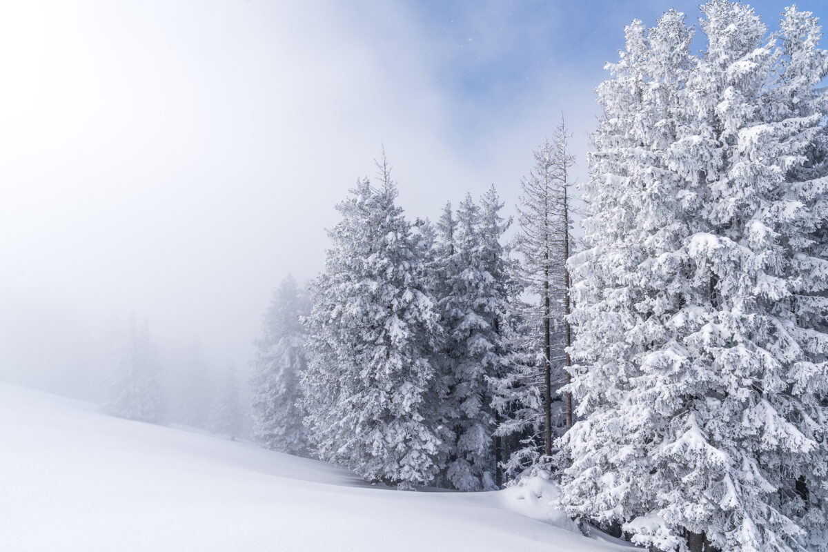
Snow-covered fir forests & a challenging ascent
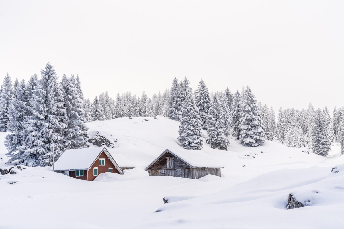
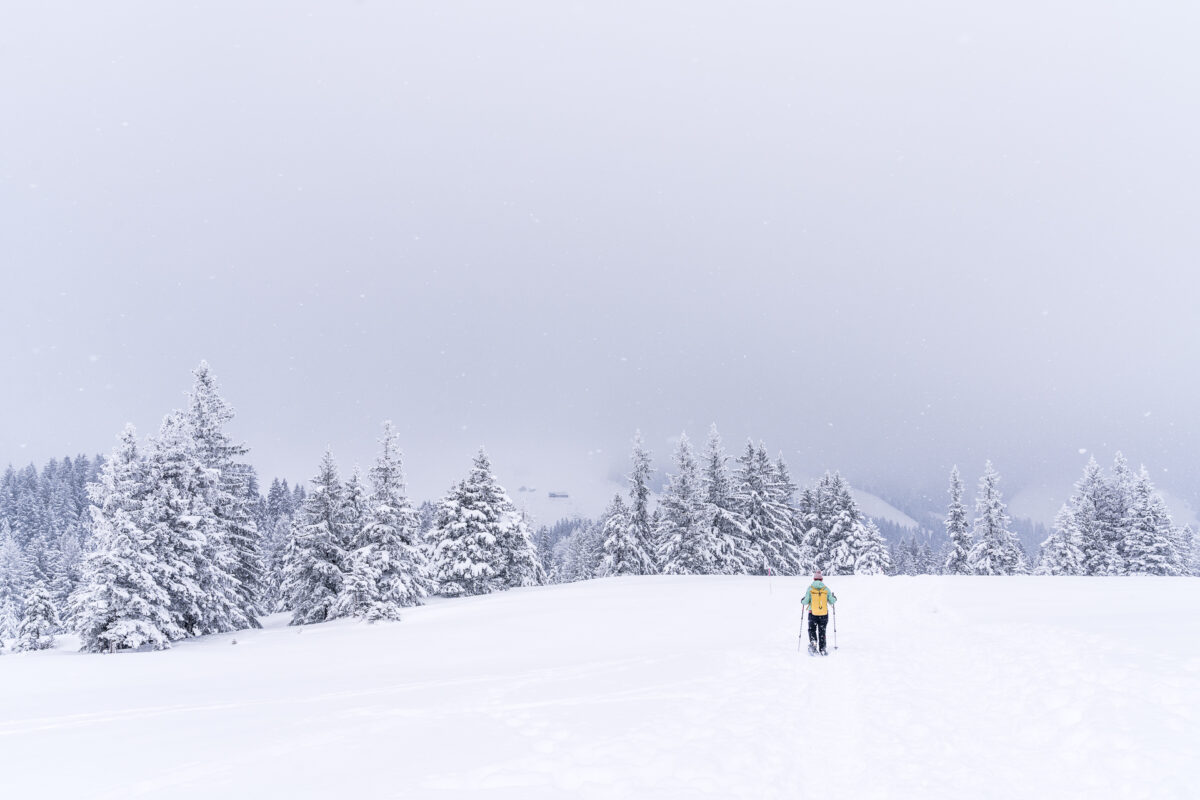
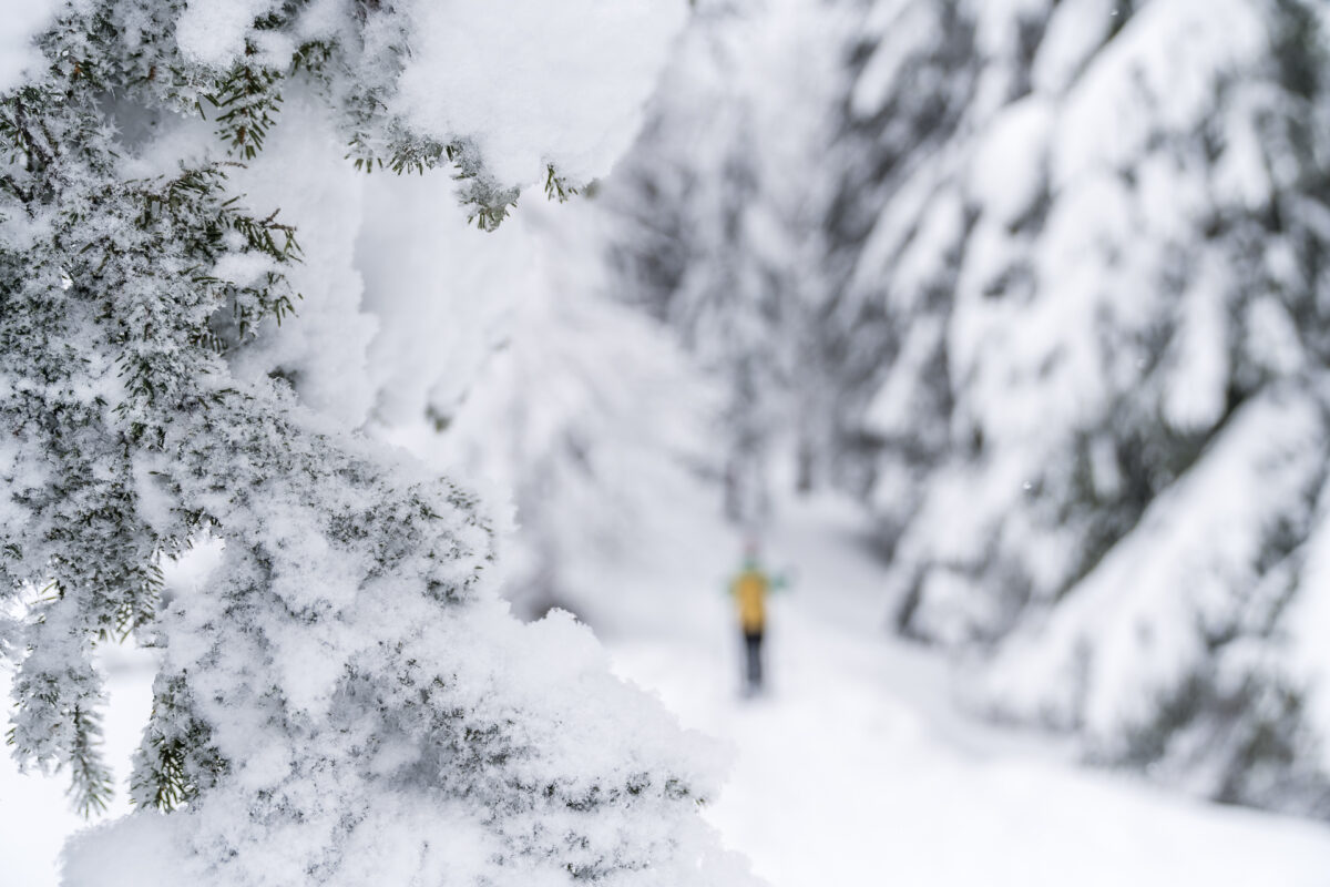
Some winter hikers and snowshoe hikers treat themselves to a rest on the sunny bench in front of the Chammhaldenhütte and then return to Schwägalp on the same path. For us, on the other hand, the most interesting part of the snowshoe hike starts now. Behind the Chammhaldenhütte, the groomed path ends and we follow a narrow forest path. With fresh powder snow, you can make wonderful foretracks here – provided you are on the road early. Either way, the section through the snow-covered Bruggenwald is my highlight of this tour.
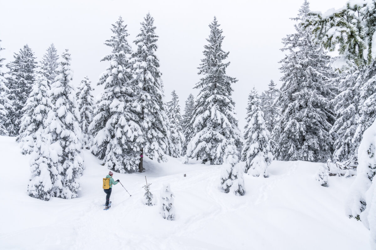
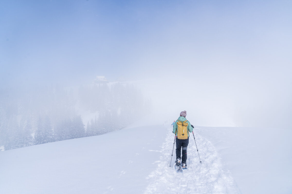
After the leisurely start, the sporting part of the tour follows after crossing the Bruggenwald. From Schützenälpli, the path winds in steep hairpin bends via Langälpli up towards Kronberg. A really crisp climb that makes you sweat even in sub-zero temperatures. Actually, the great panoramic view from the Churfirsten to the Alpstein would also open up here and thus provide a good reason for a short breather. Unfortunately, the fog is the toughest in this section of our tour and so we continue uphill at a steady pace.
Shortly before the end of the tour – the Kronberg – we reach the high fog line. And even if we are denied the view. The mystical atmosphere of blue skies and wafts of fog also has its charms. And the snowshoe tour gave us a really refreshing workout with its varied route and the final ascent.
Practical tips for your snowshoe hike on the Schwägalp – Kronberg Trail
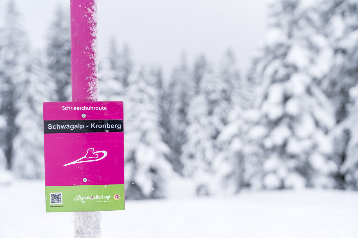
You can see our route on the map below. The Schwägalp – Kronberg Trail is marked with pink posts and signposted by means of signposts. The snowshoe hike, which is designed as a long-distance hike, is suitable for arrival by public transport. You can reach the starting point on the Schwägalp via Urnäsch by post bus.
On the Kronberg, you can either take the gondola lift to Jakobsbad (cost single trip with GA/Half-Fare travelcard: 13.50 CHF) or toboggan down into the valley on the longest toboggan run in Eastern Switzerland at 7 kilometres. The toboggans can be rented at the mountain station (cost: 10 CHF). However, since we hadn’t taken any helmets with us, we decided not to take this fast-paced ride and took a leisurely (and empty gondola) down to the valley. The combination of snowshoe tour and toboggan run is of course a special extra of the Schwägalp Kronberg Trail.
The approximate time for the Kronberg Trail is given as 2:35 h. It took us just under 1:50h to cover the distance.
Key data of the snowshoe tour Schwägalp – Kronberg (AI)
| Starting point | Schwägalp post bus stop, Säntis suspension railway (1,353 m above sea level) |
| Reachability | accessible by public transport |
| Length | 5.4 kilometres |
| Elevation gain | ↗ 450 m 155 m ↘ |
| Duration | 2:00 h to 2:30 |
| Destination | Kronberg – Jakobsbad cable car mountain station (1,640 m above sea level) |
| Catering | Chammhaldenhütte as well as Berggasthaus Kronberg (currently with take-away option) |
Leave a Reply